


Grave of Lea
Sat 26th Feb 2022
Walk Details:
Event Type
Group Walk
Region
Southern England
Local Group
London
Distance
20ml.
Start Time
09:15
Route
Leagrave Station (8.21 train from London Bridge)
Circular walk
General Notes
30 mins Lunch at cricket club, Hexton. Quick drink in The Raven pub
Web Site
Start
Finish
Entry Details:
Cost
Walk Report
The Grave of Lea, Saturday 26th February 20227 walkers, 20.2 miles, leader Bola Baruwa
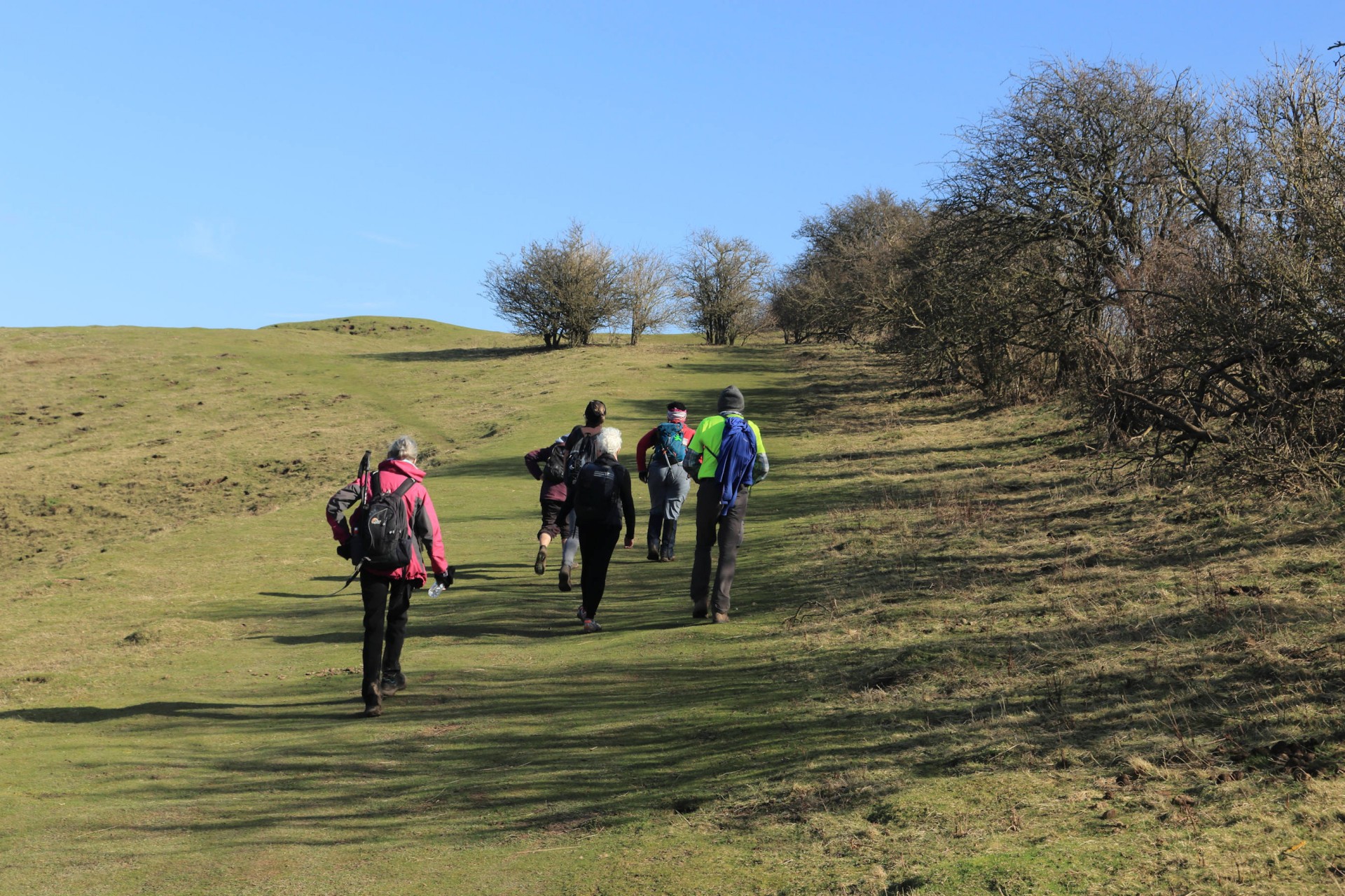
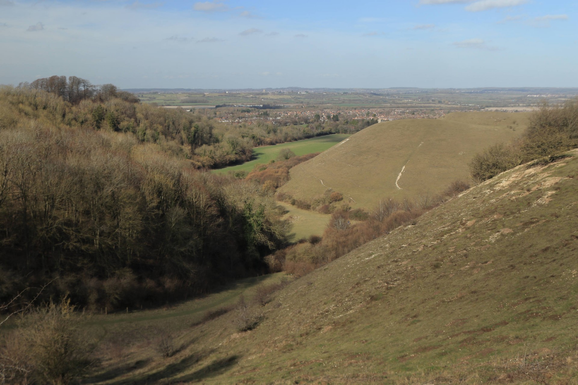
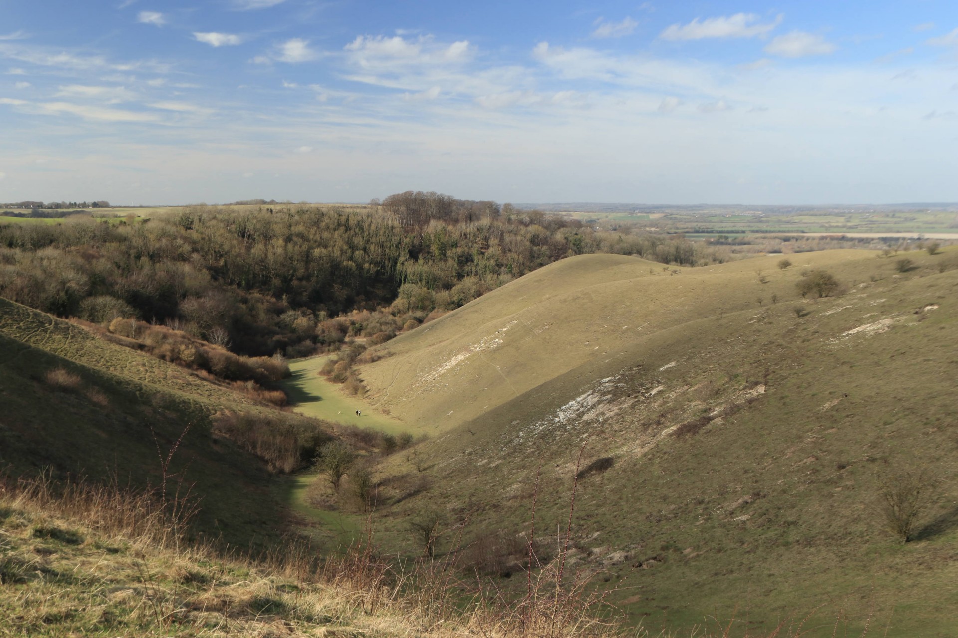
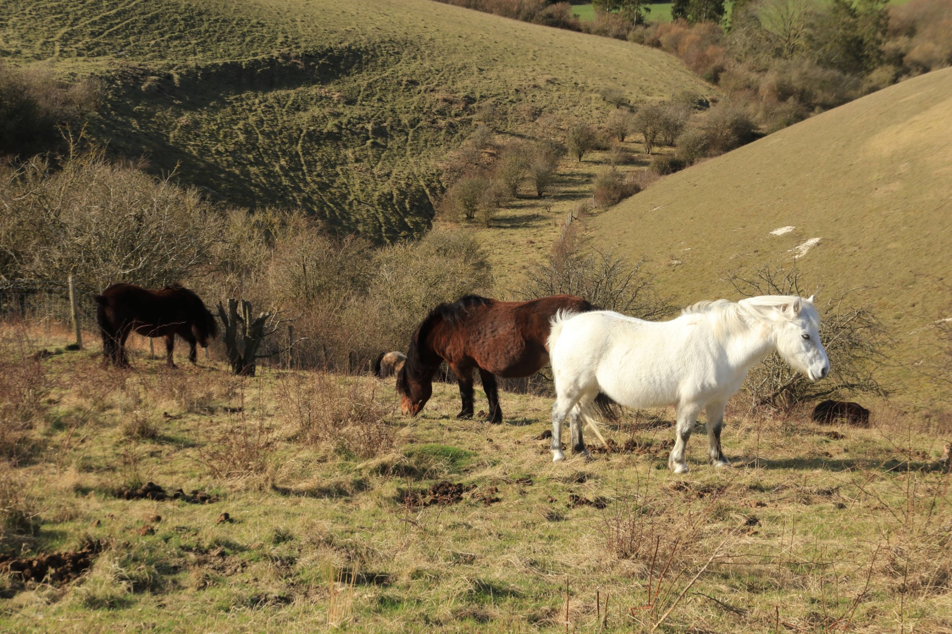
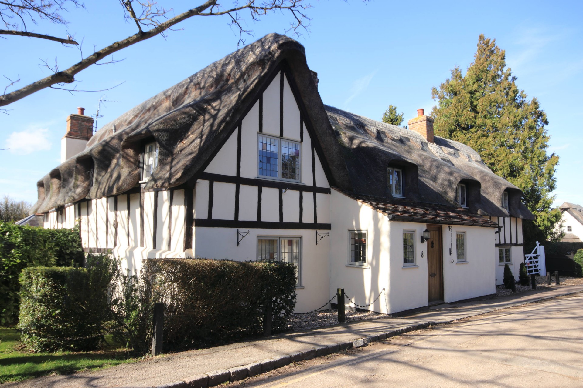
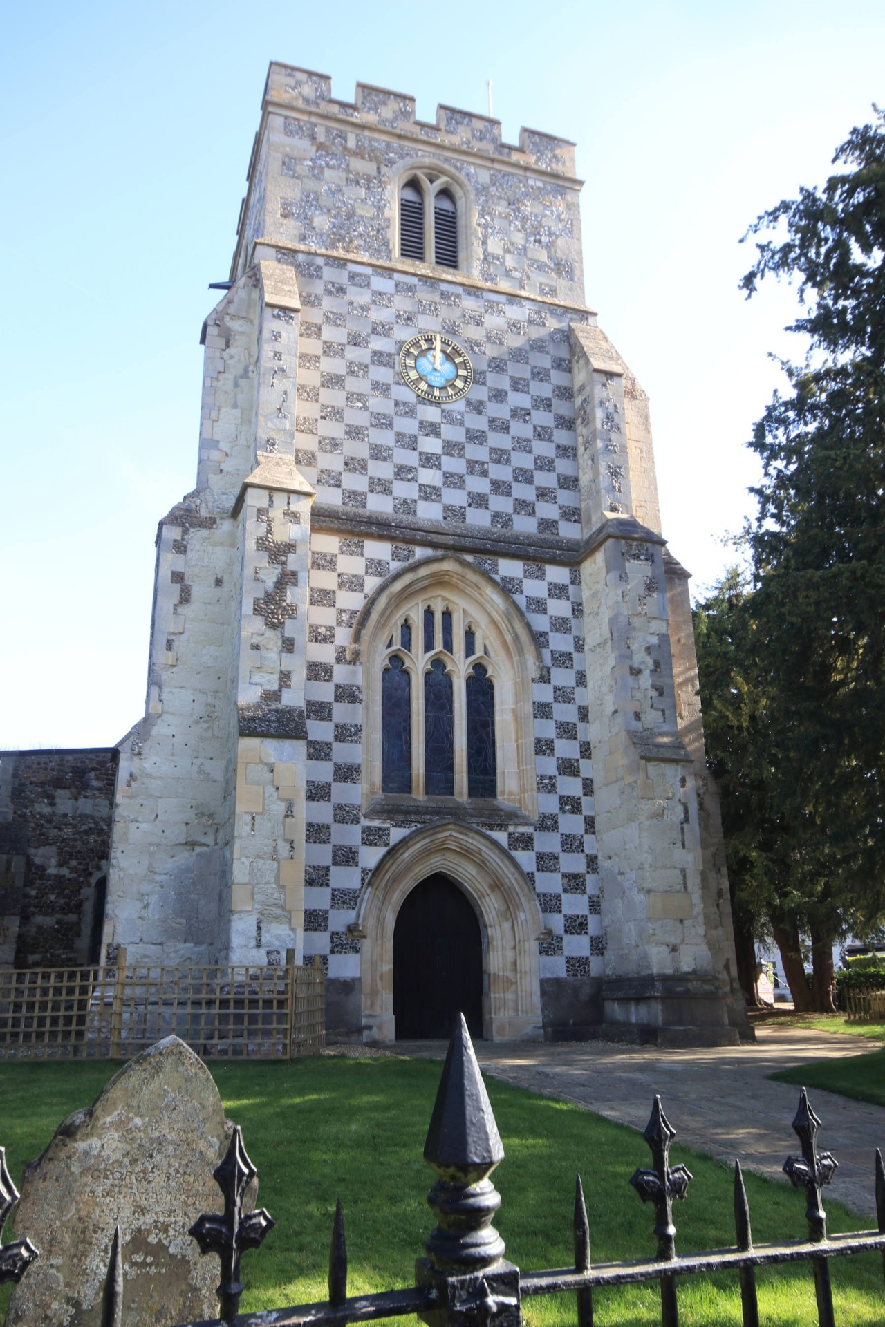
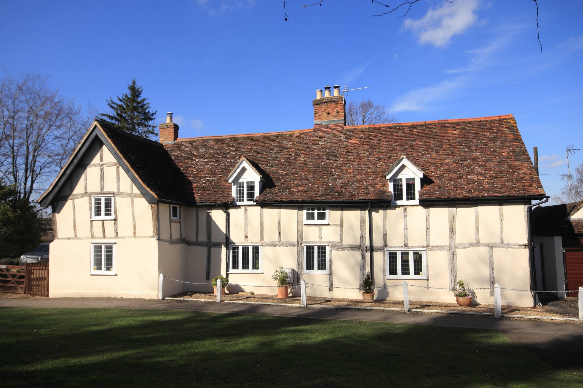
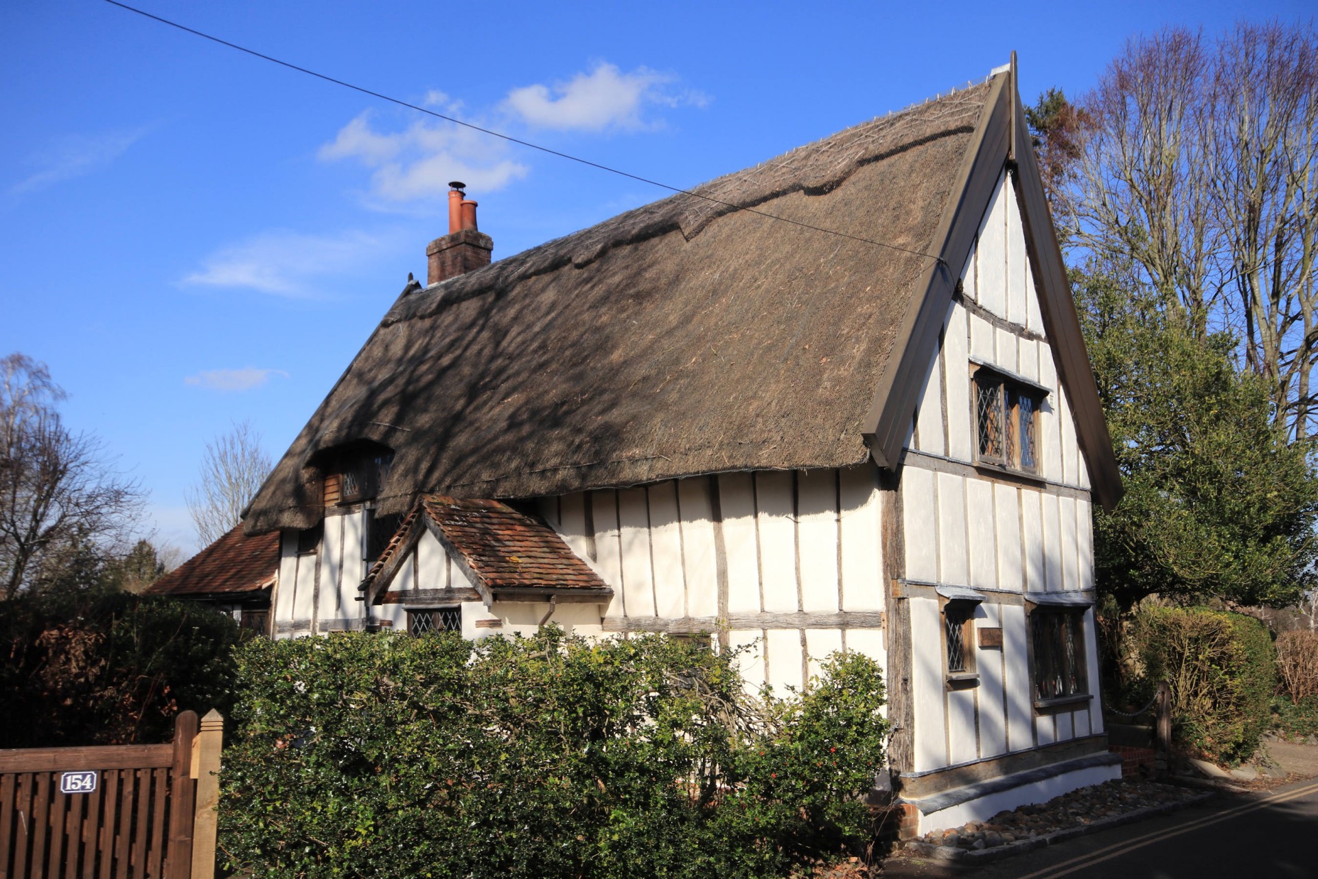
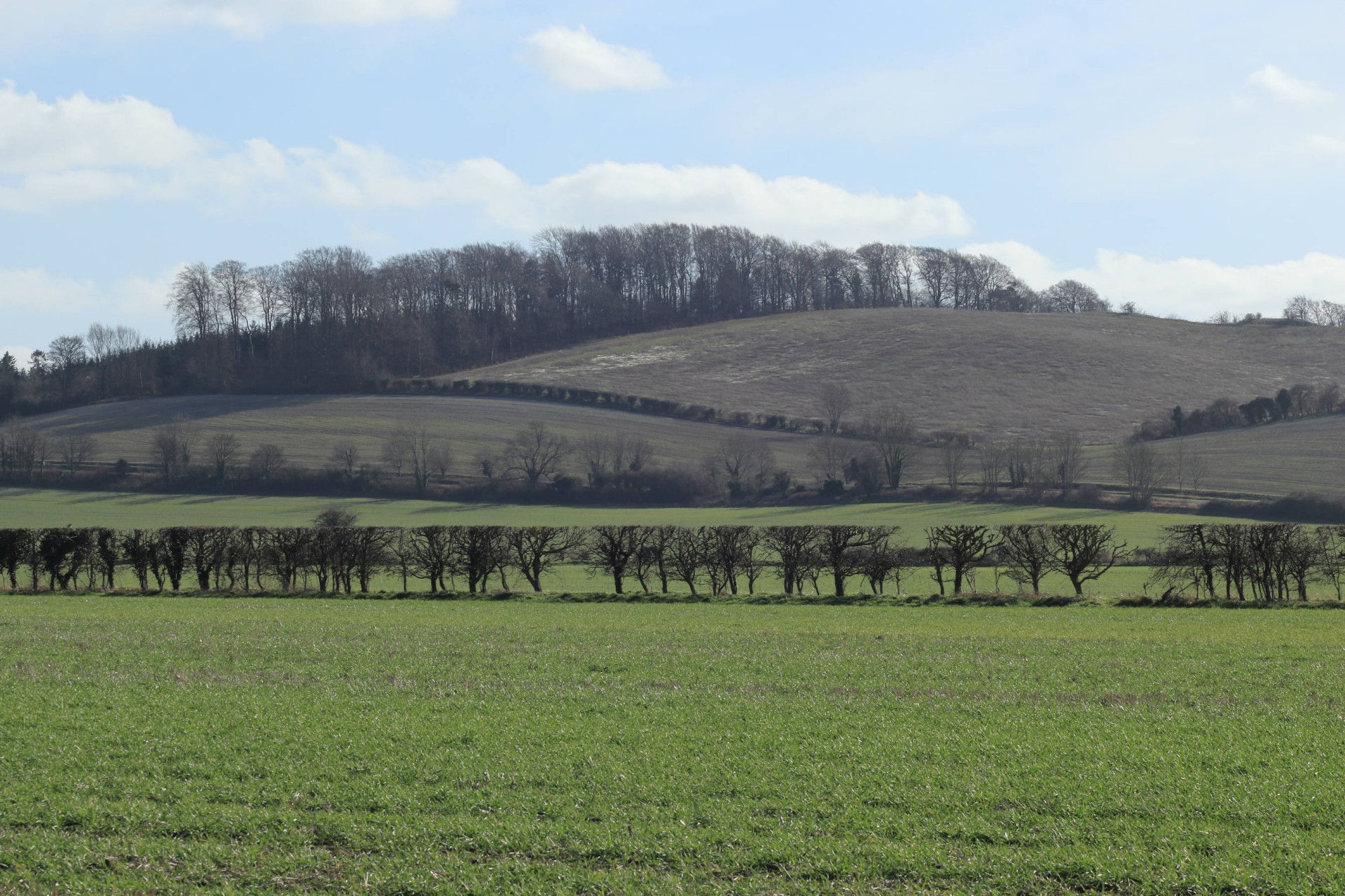
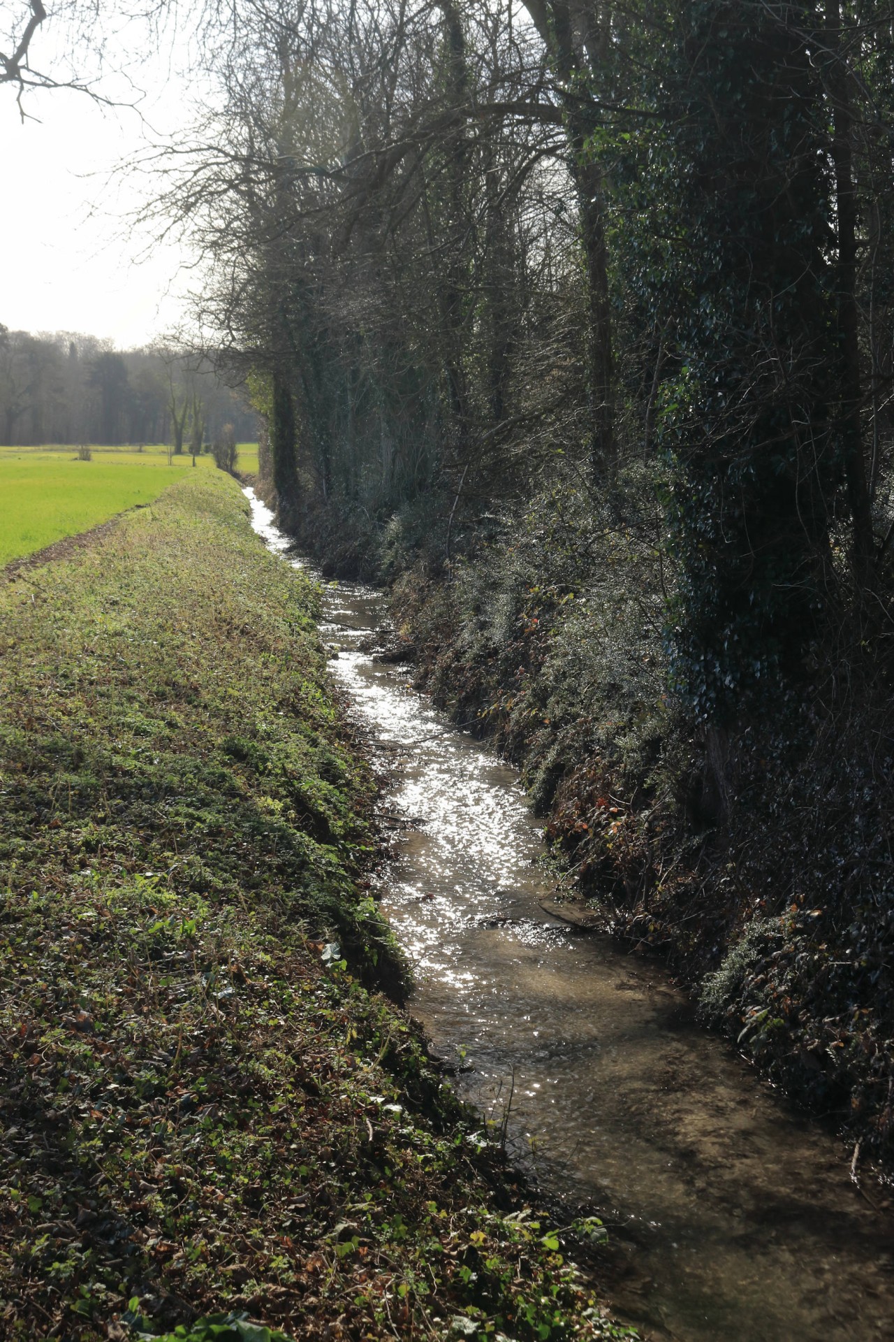
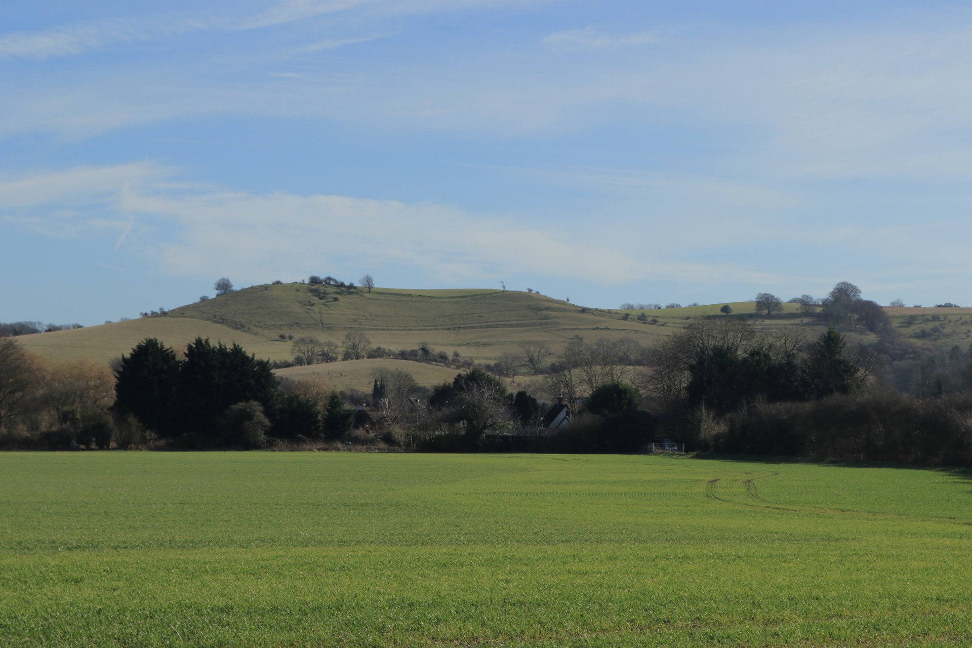
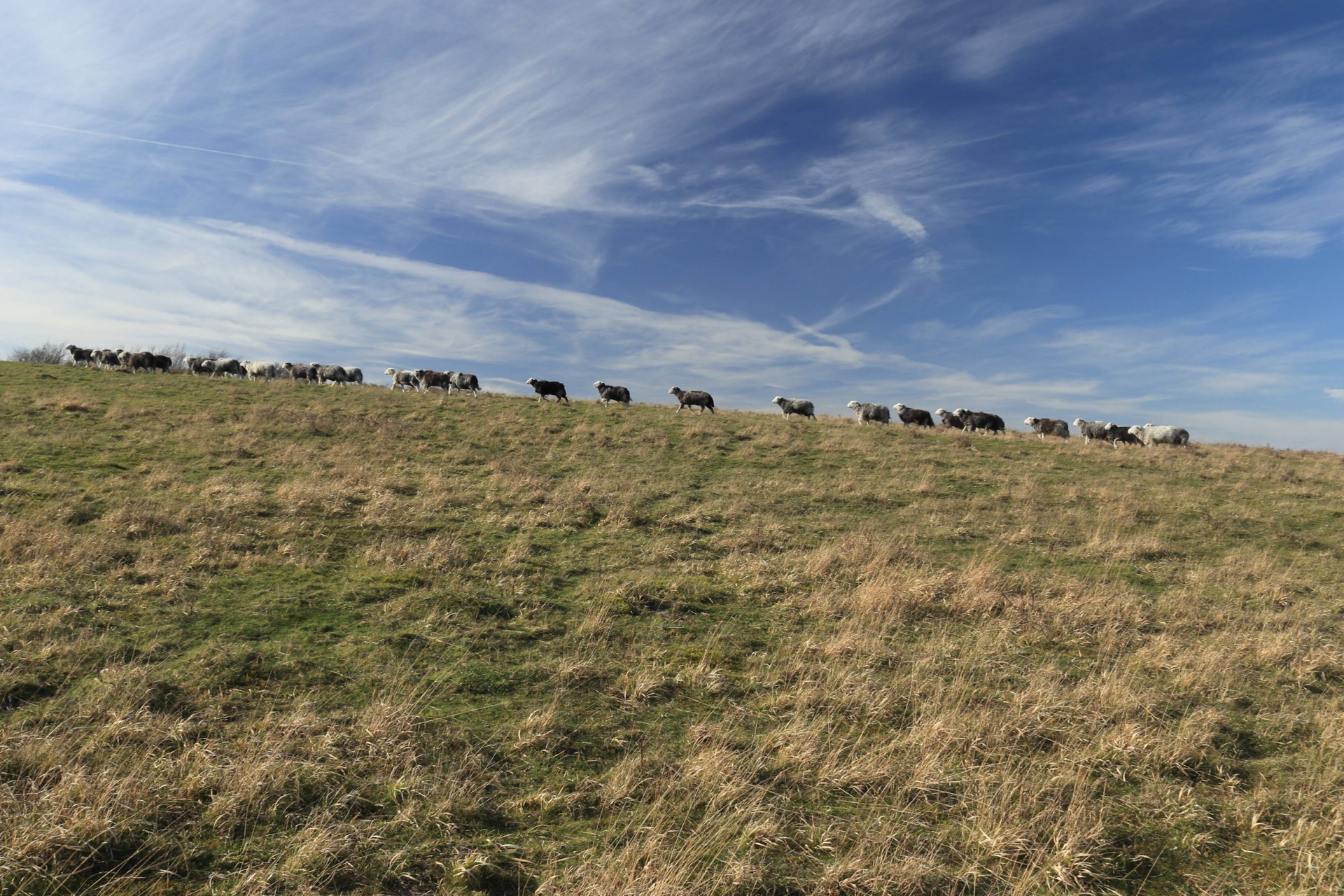
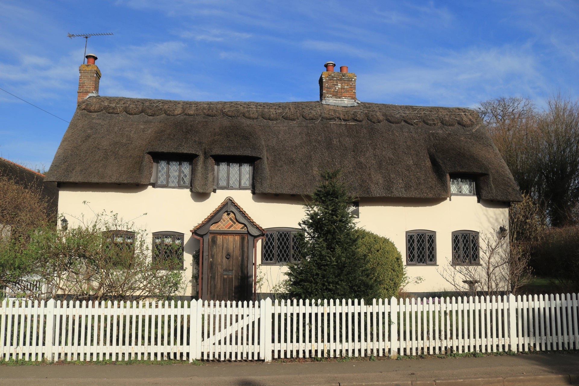
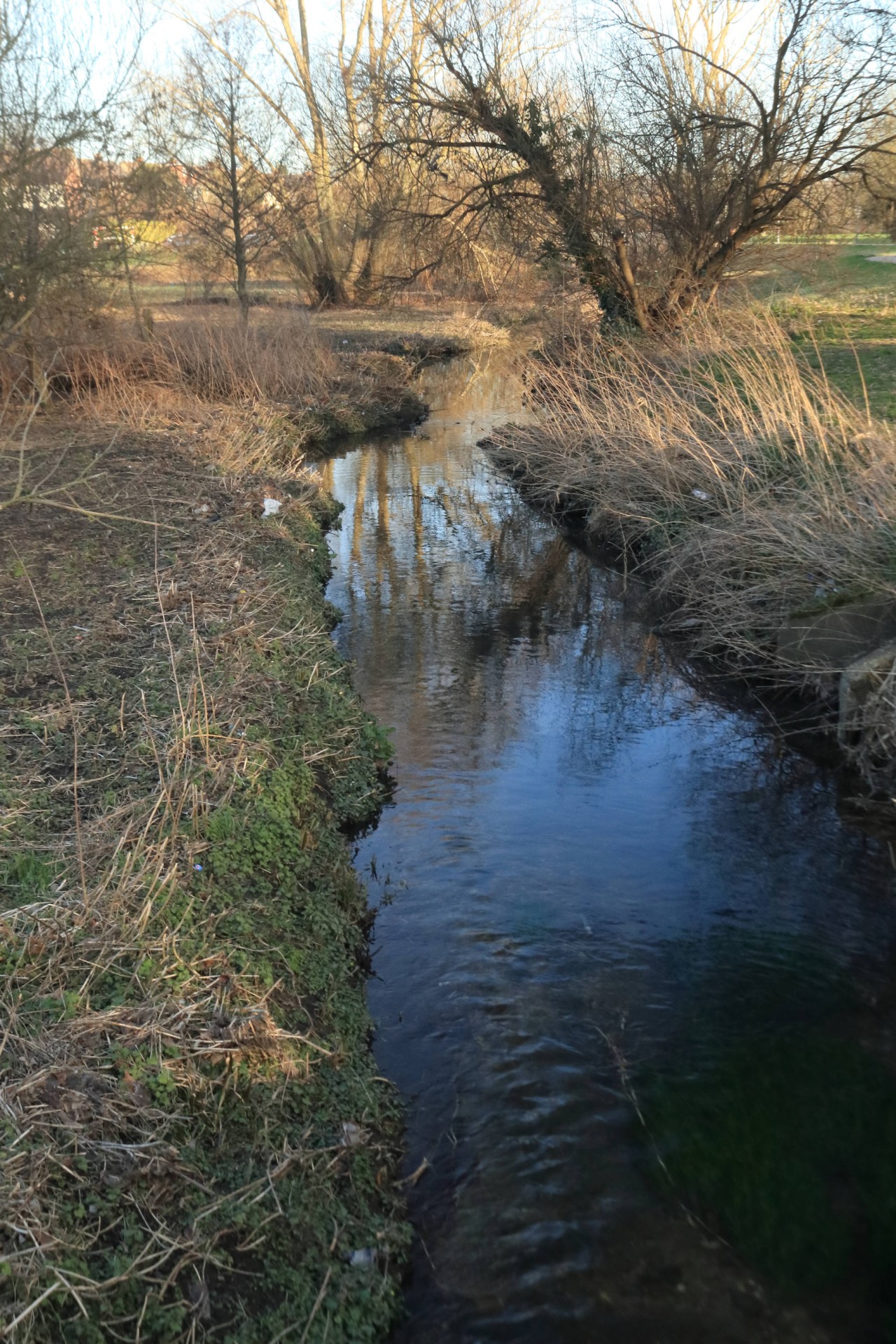
The promise of late winter sunshine didn't seem enough to attract people out today and so just six walkers joined our leader Bola for her circular trip around Bedfordshire from Leagrave station. First up was the source of the River Lea, which alas wasn't looking its best, before leaving the town for a meander partially along several waymarked trails to the outskirts of Barton-le-Clay, where the group was treated to his first hill of the day, in the shape of a loop round the scenic Barton Hills with their impressive views to the north. Then it was through the village of Barton-le-Clay, which contained several contenders for Property of the Week, before the John Bunyan Trail was then rejoined to the lunch stop at Hexton.
The afternoon saw our pilgrims heading over Pegsdon Hills and Lilley Hoo to the village of Lilley, where 42.57% of the group availed themselves of the local pub, before heading over to the next hill of the day, Galley Hill. That wasn't enough for our leader, who had one more hill for us to ascend, Warden Hill, with its extensive view over Luton to excite us, or maybe otherwise. Then it was down through the suburbs to rejoin the Lea back to the station, where with one exception we just missed the next train back; fortunately it was only a quarter of an hour to the next one. Some of the group found the 1,215ft of ascent and muddy conditions over the day somewhat taxing, but all made it round and lived to tell the tale!
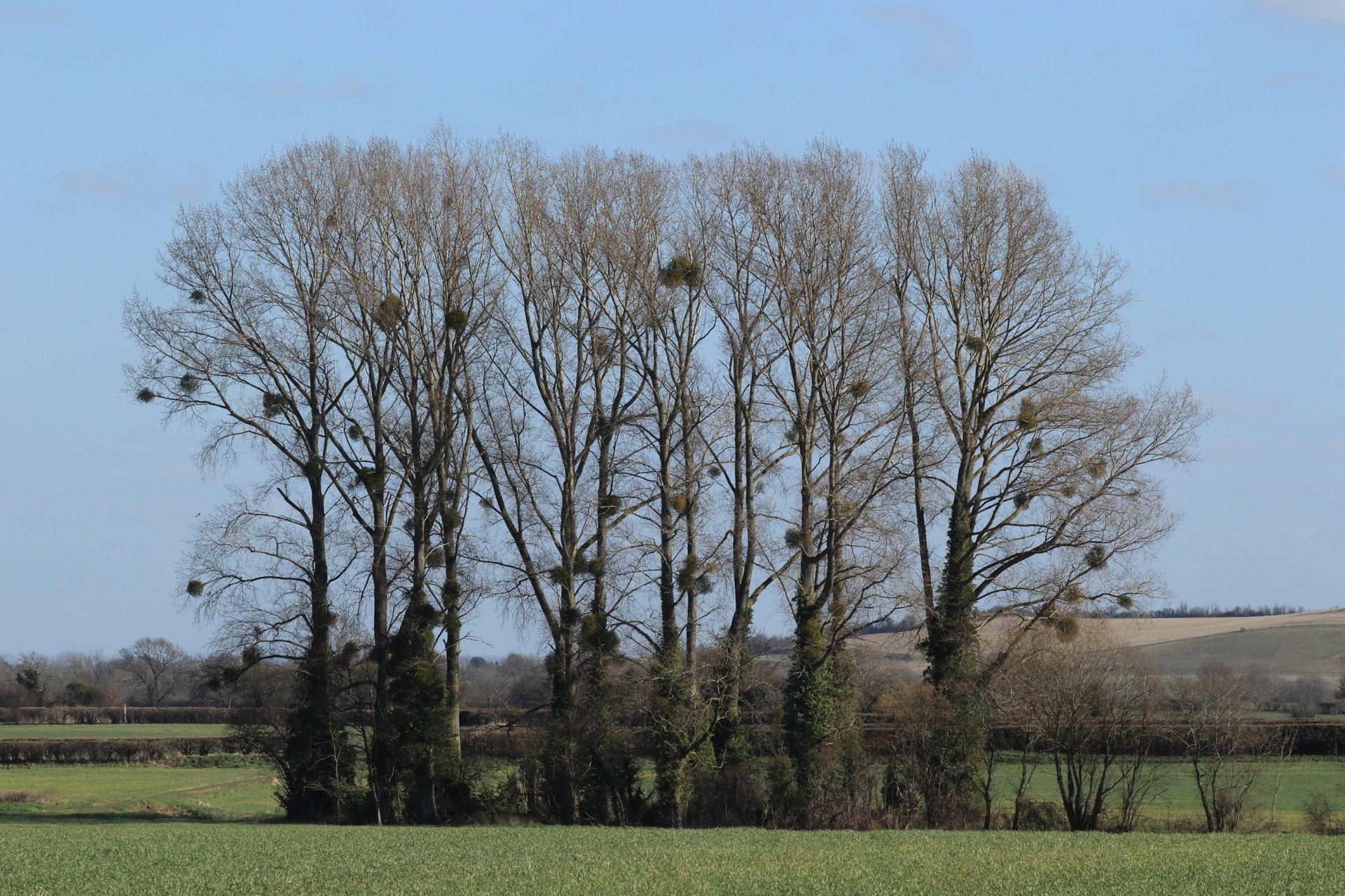
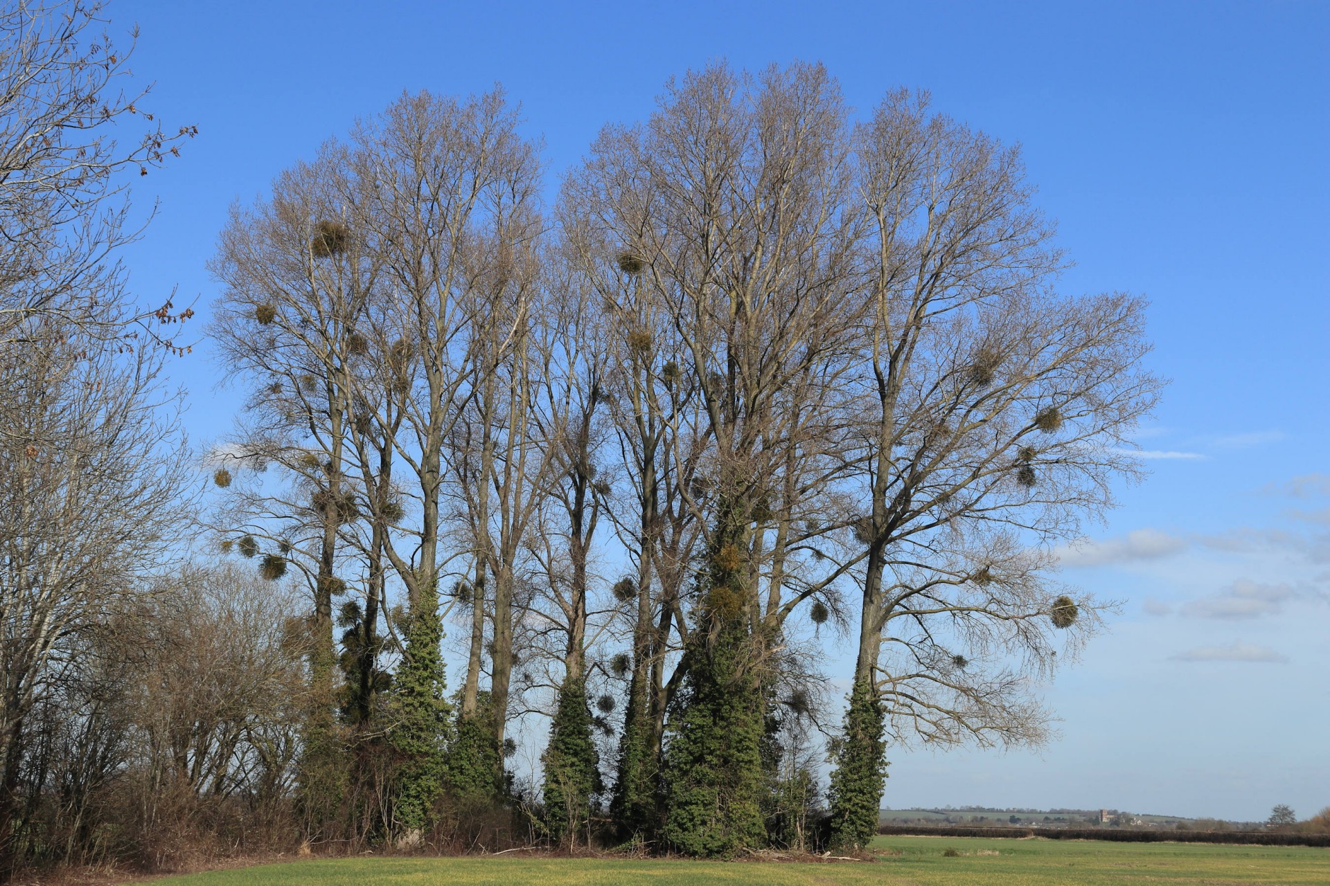
Report and photographs by Gavin Fuller
Other Files
Download Walk ReportGPX
A GPX file of the above route may be downloaded by clicking the link below.
Note: GPX files of Group Walks are created by LDWA Group members, and may be downloaded only by other LDWA members. They should not be made available outside the LDWA, and are used at members' own risk.
Login to Download (Members Only)You can use the interactive controls to zoom in and out and to move around the map, or click on a path or a marker for more info. (interactive map help)
You can use the interactive controls to zoom in and out and to move around the map, or click on a path or a marker for more info. (interactive map help)
Contains Ordnance Survey data © Crown copyright and database right 2016.
© OpenStreetMap contributors under Open Database Licence
Rights of way data from selected Local Authorities
Large scale digital mapping is provided by John Thorn
At high zoom levels the route is indicative only.
© OpenStreetMap contributors under Open Database Licence
Rights of way data from selected Local Authorities
Large scale digital mapping is provided by John Thorn
At high zoom levels the route is indicative only.
Gallery

Maps:
You can use the interactive controls to zoom in and out and to move around the map, or click on a marker for more info. (interactive map help)
Contains Ordnance Survey data © Crown copyright and database right 2016.
© OpenStreetMap contributors under Open Database Licence.
Rights of way data from selected Local Authorities.
Large scale digital mapping is provided by John Thorn.
© OpenStreetMap contributors under Open Database Licence.
Rights of way data from selected Local Authorities.
Large scale digital mapping is provided by John Thorn.


