


Sun, Sea and Sand 2022
Thu 13th Jan 2022
Walk Details:
A repeat of January 2020 walk. A chance to top up your suntan on our annual winter escape to the seaside
Entry Details:
Walk Report
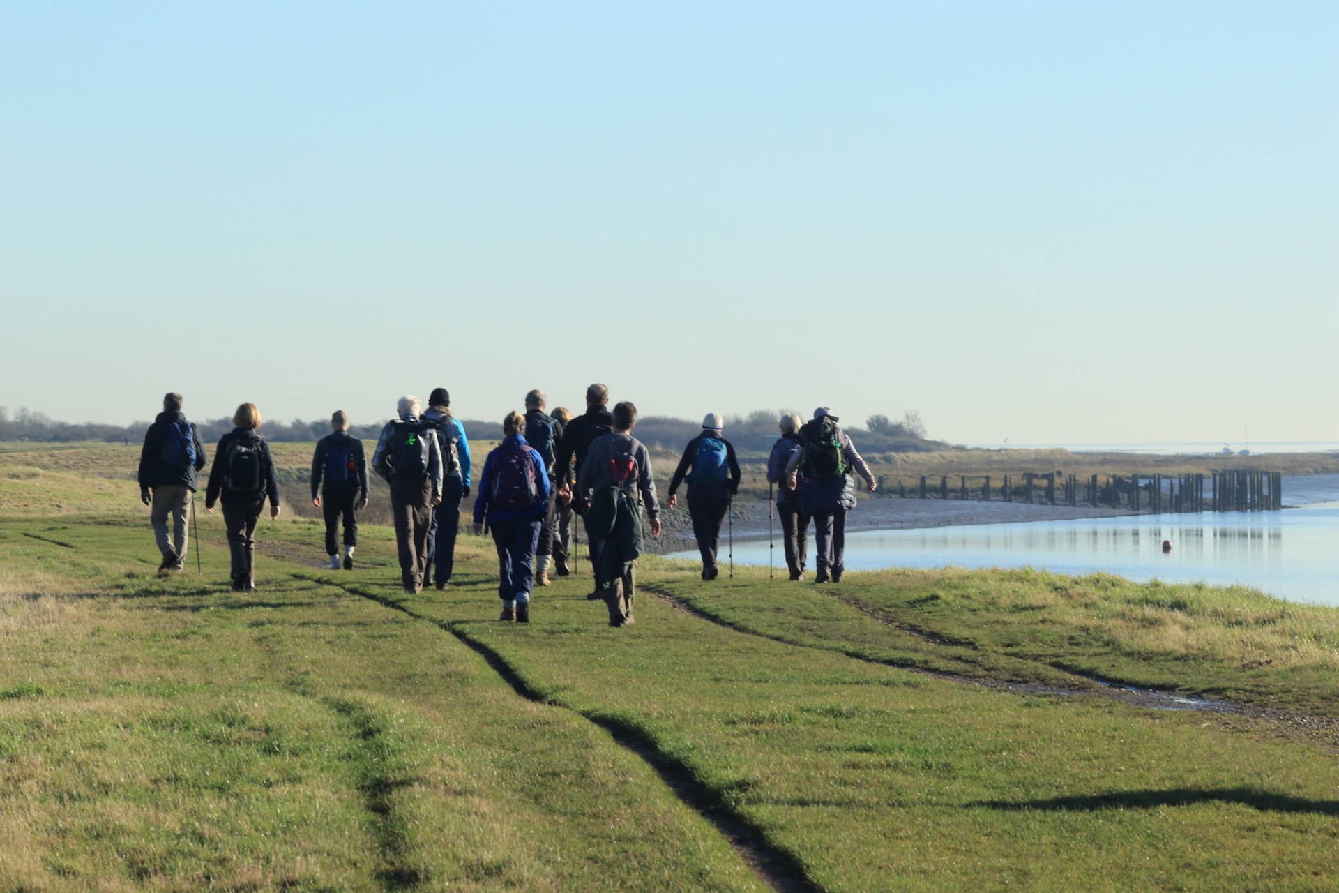
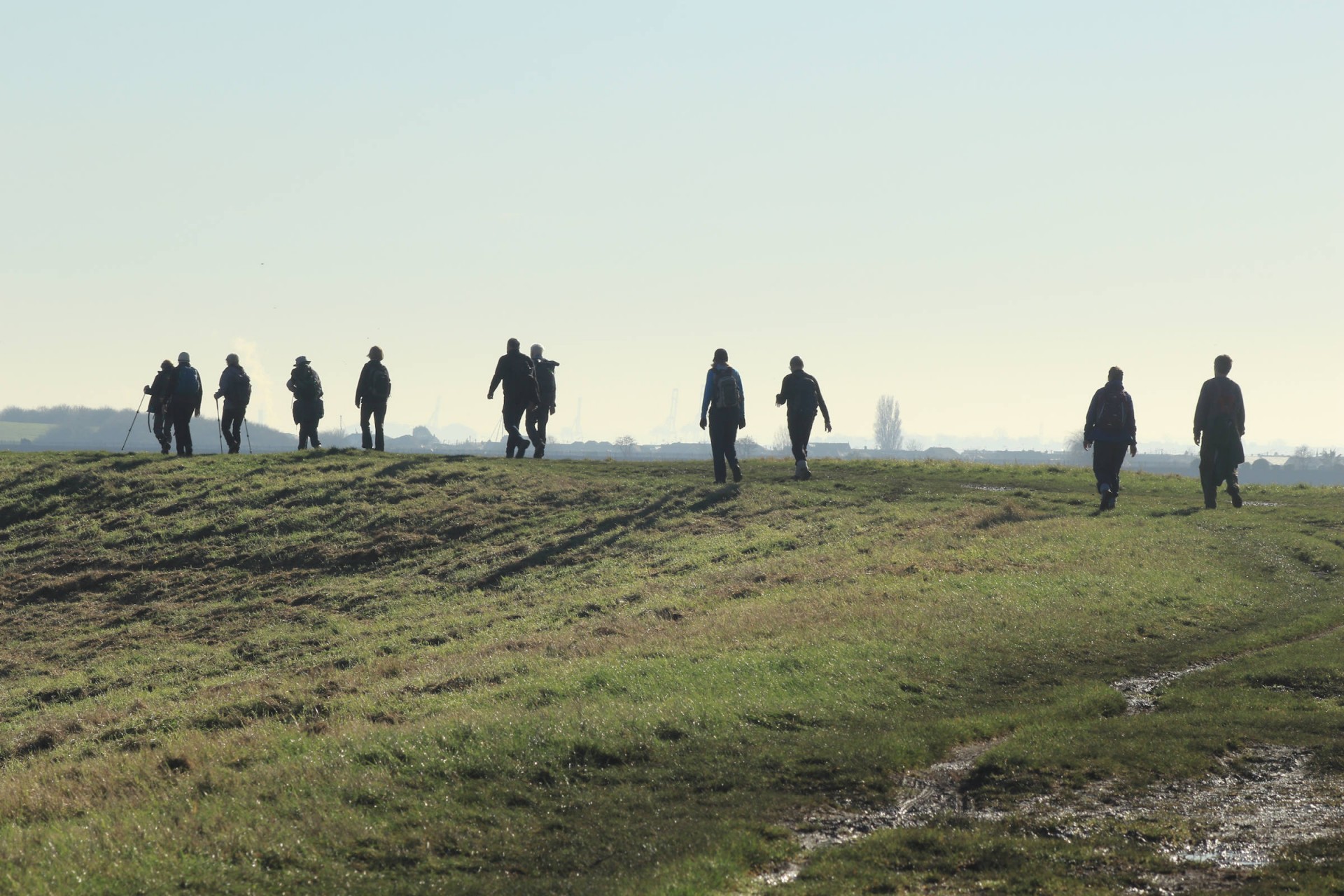
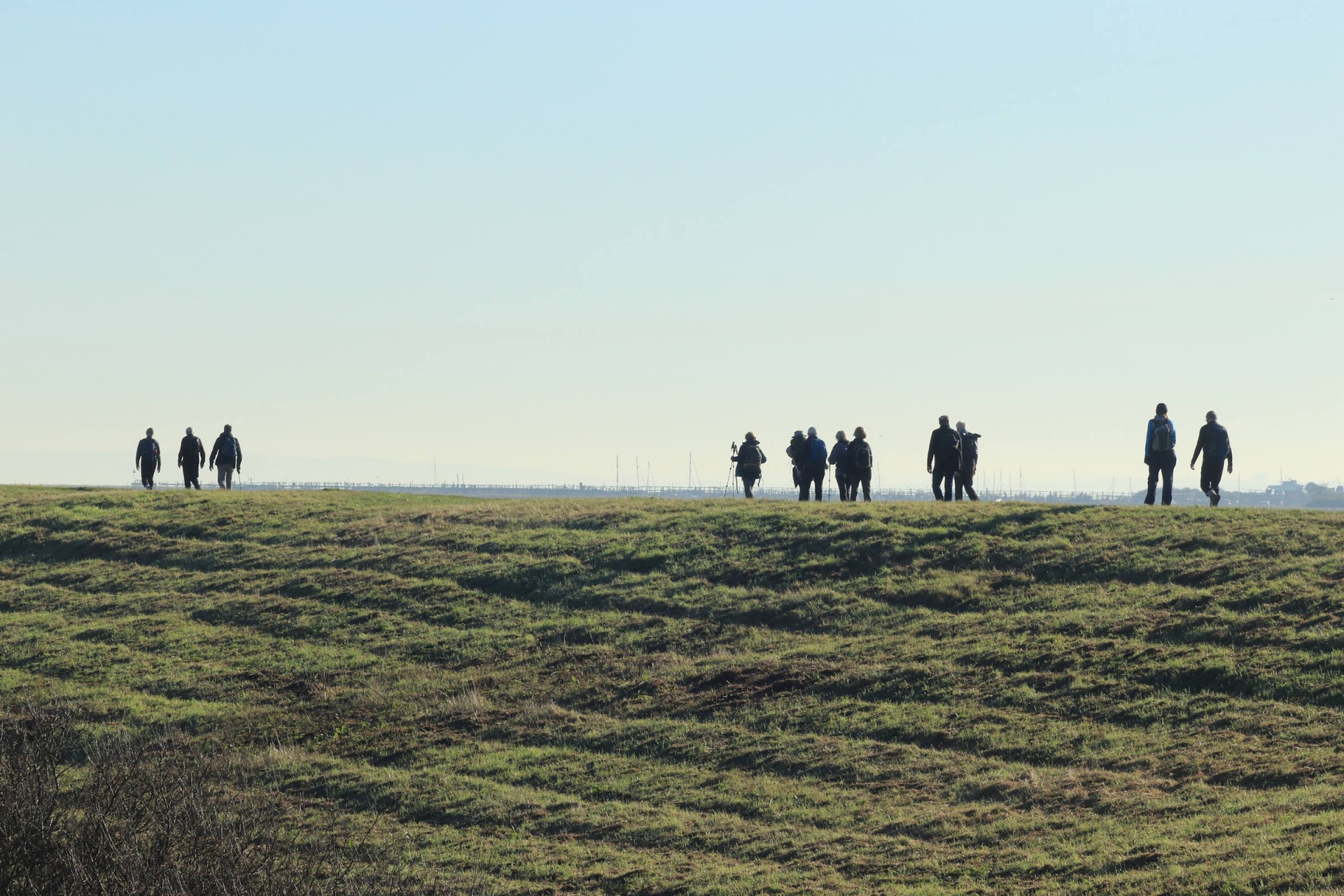
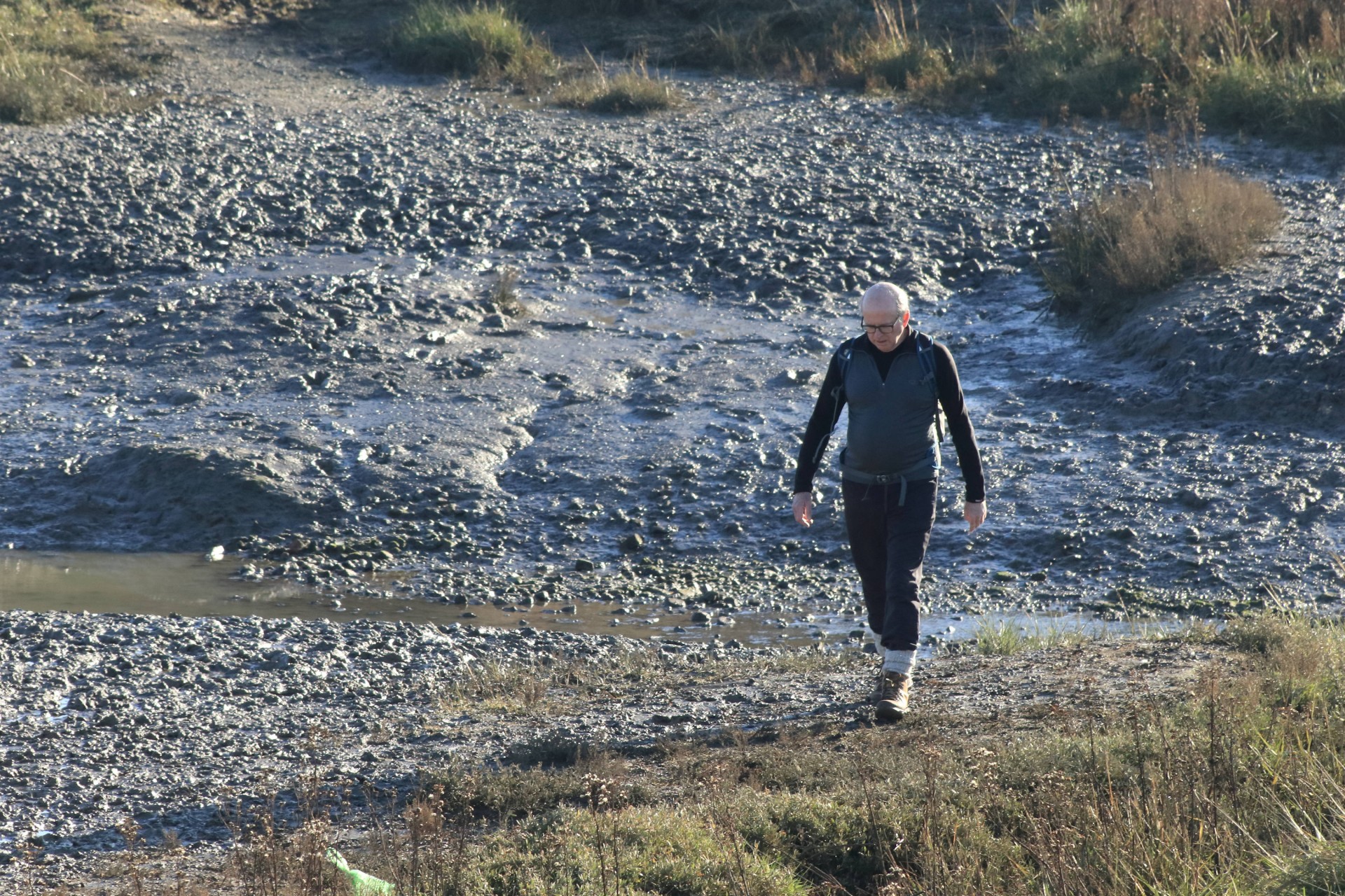
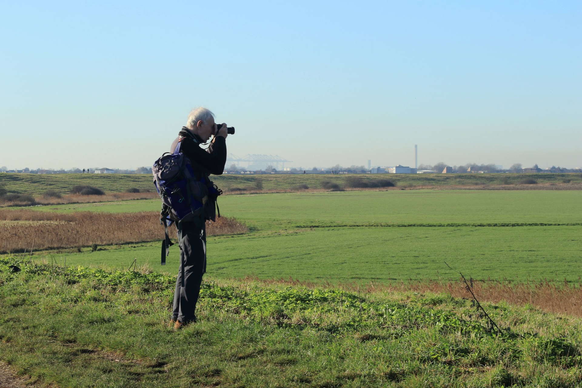
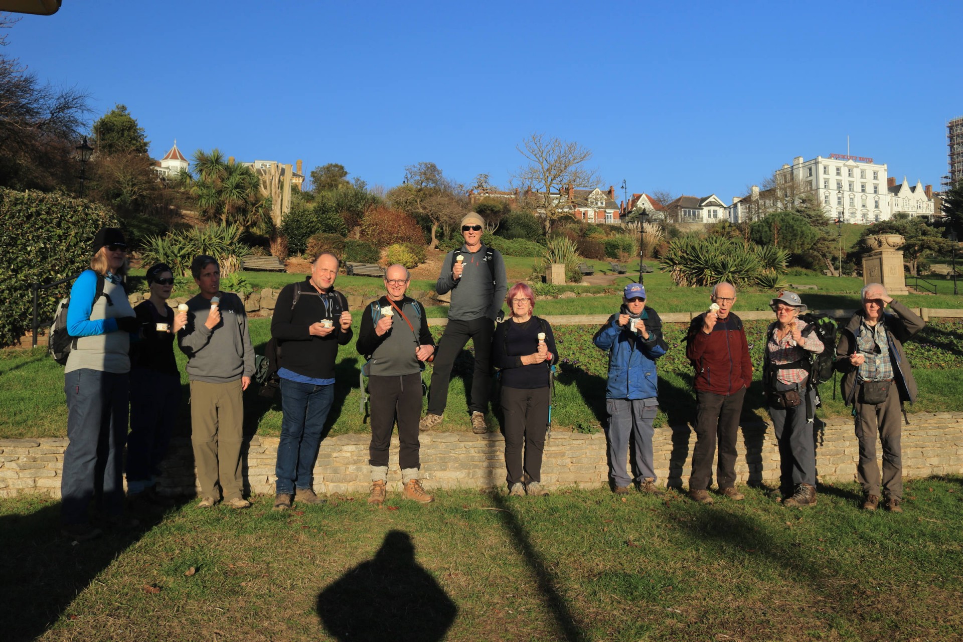
Sun, Sea and Sand 2022, Thursday 13th January 202218 walkers, 14.7 miles - leader Ron Williamson
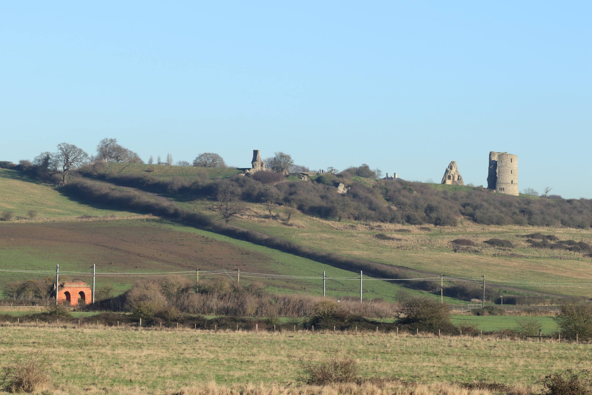
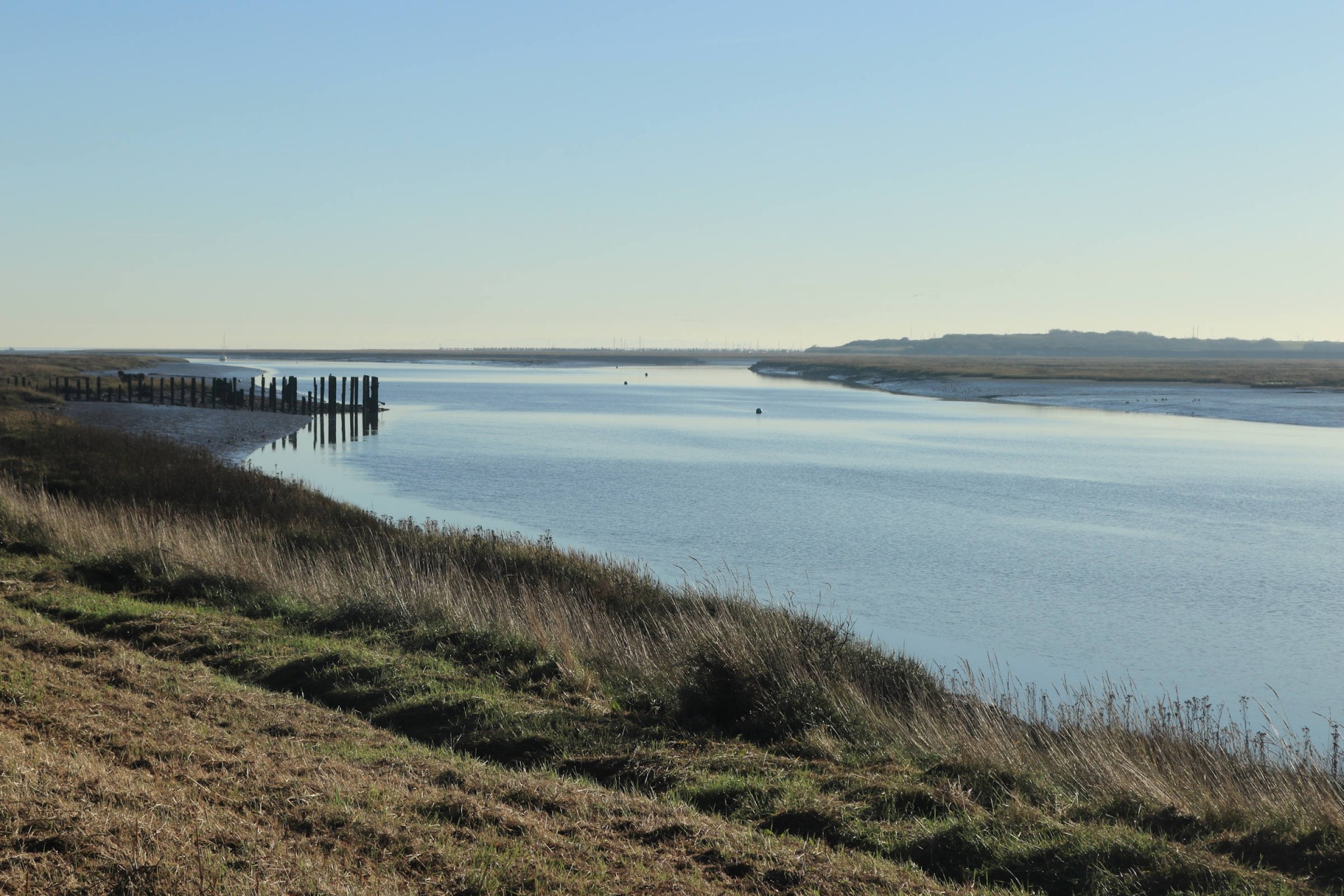
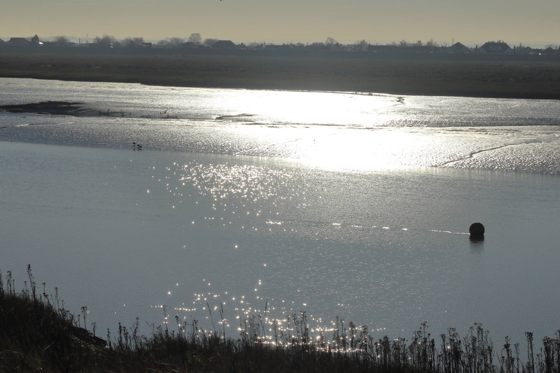
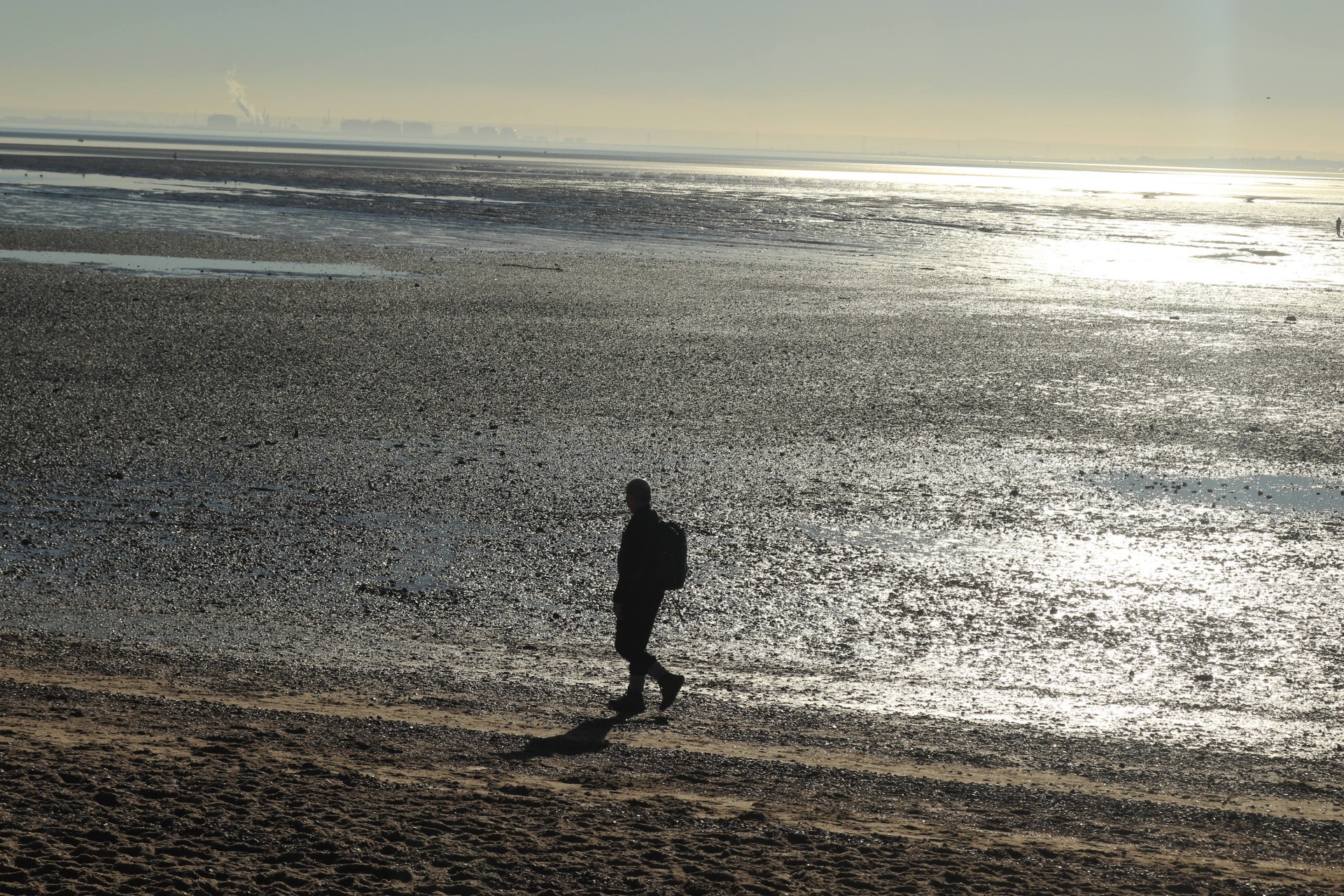
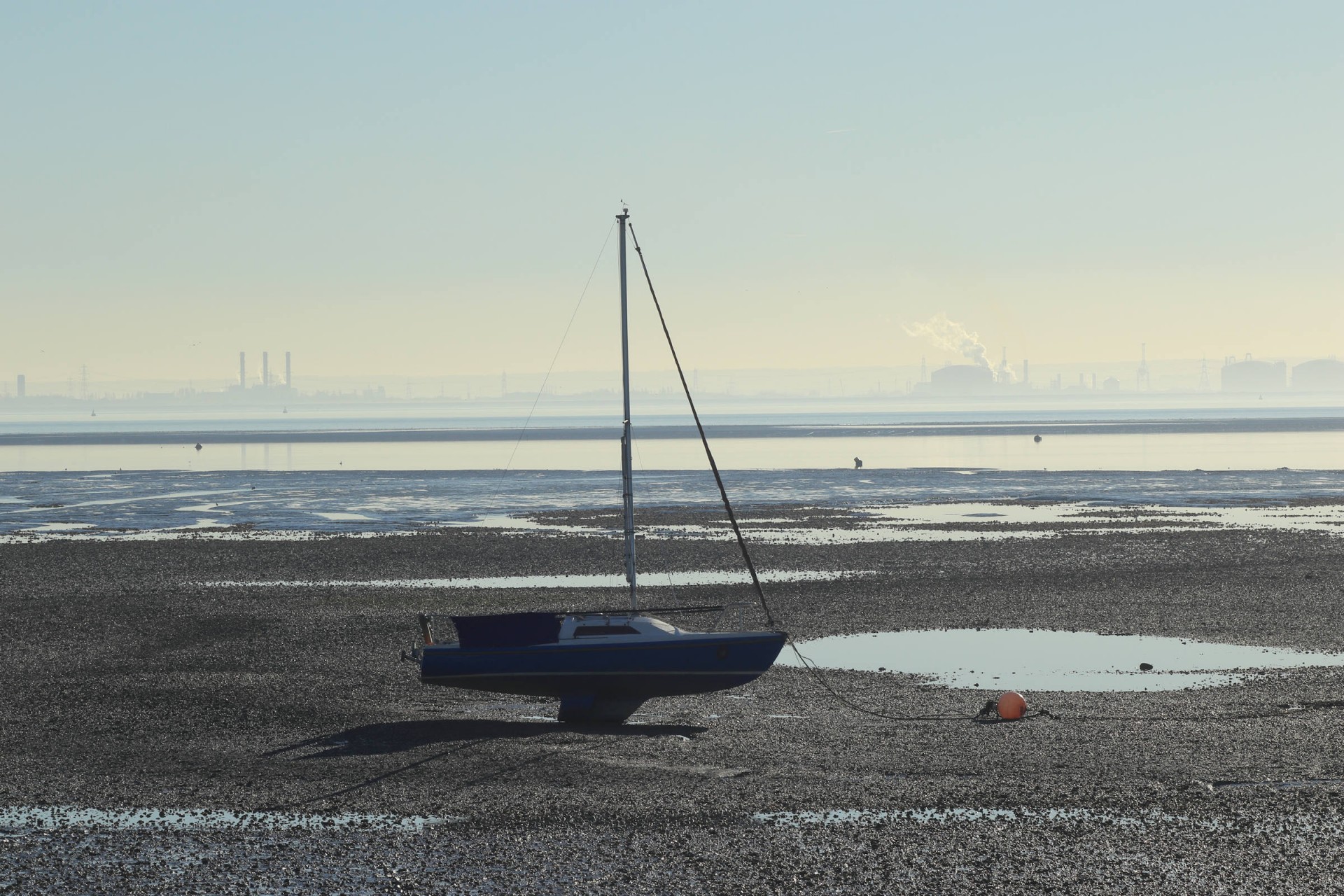
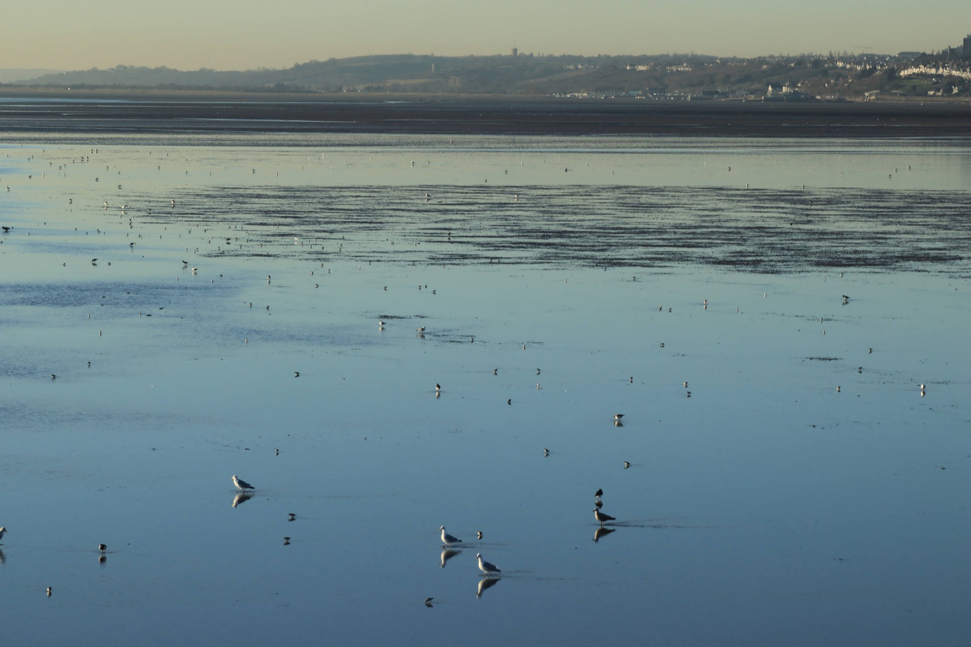
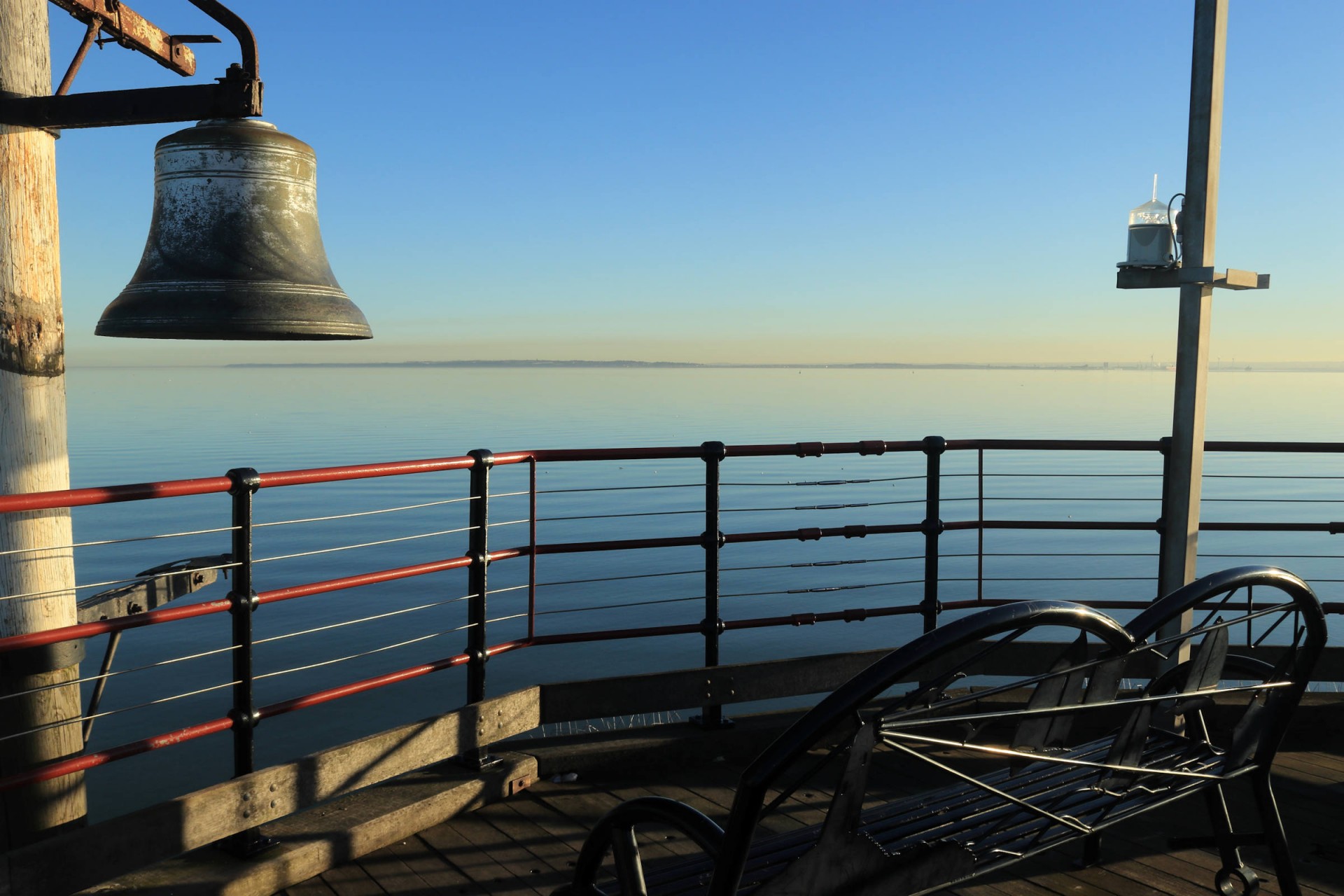
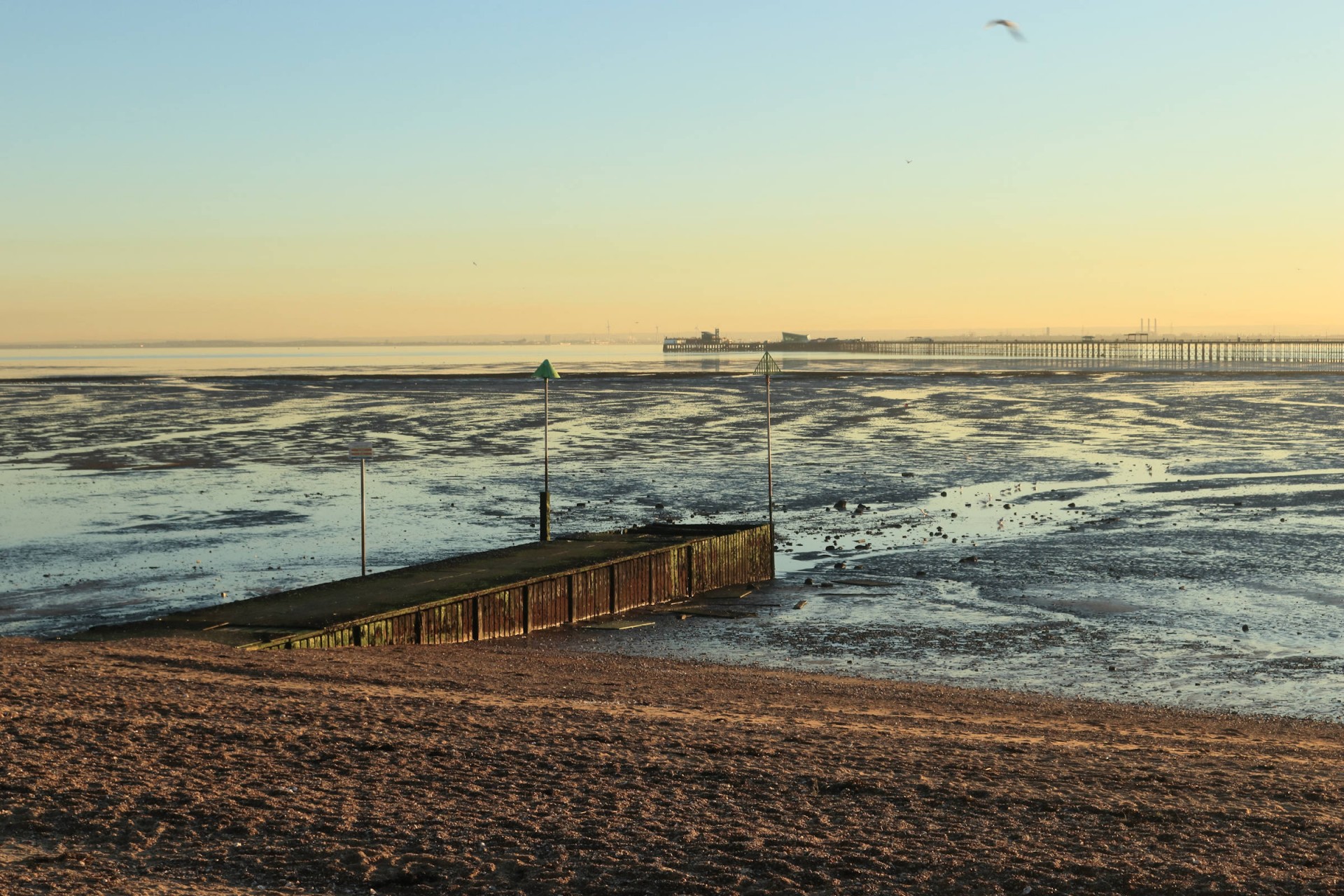
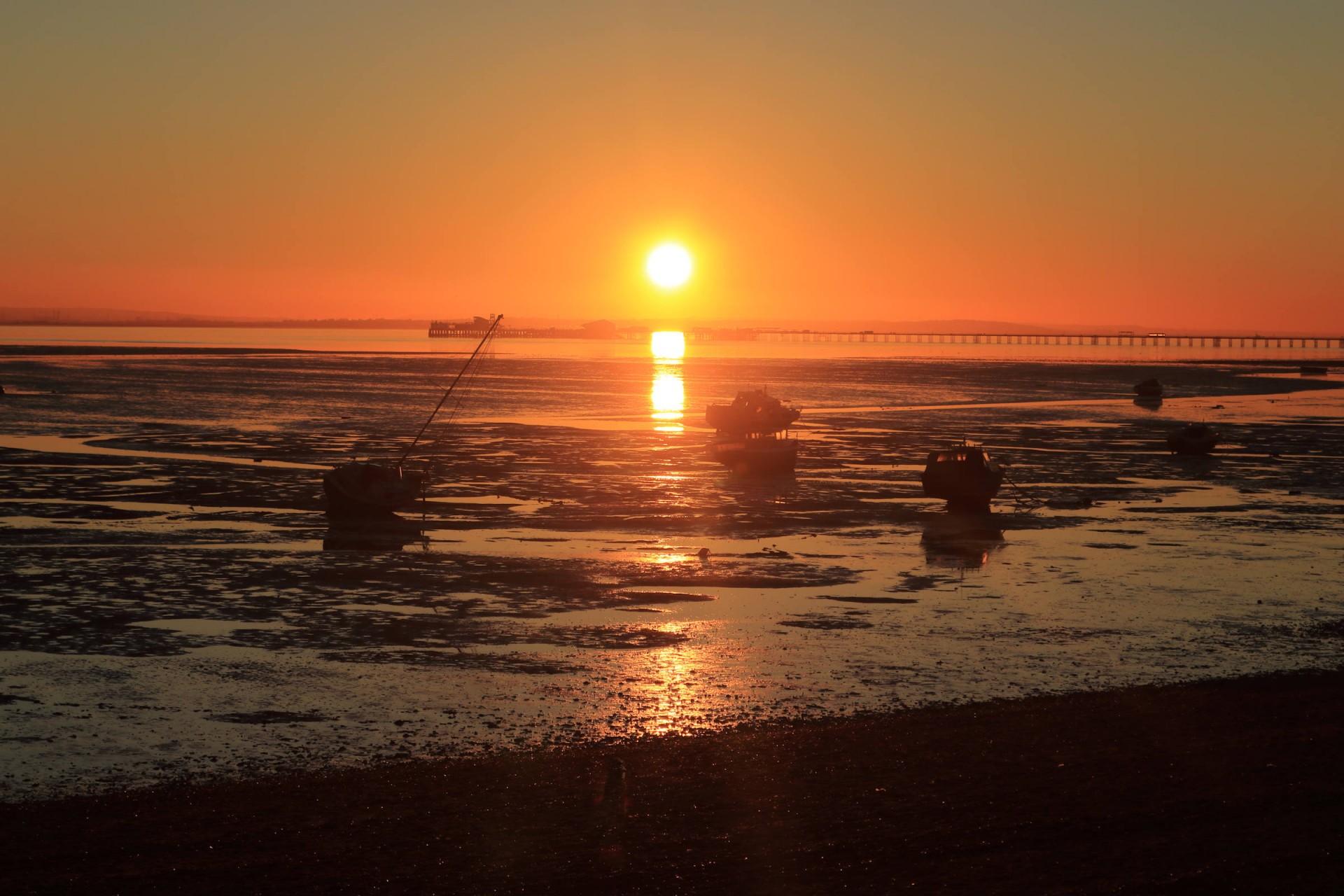
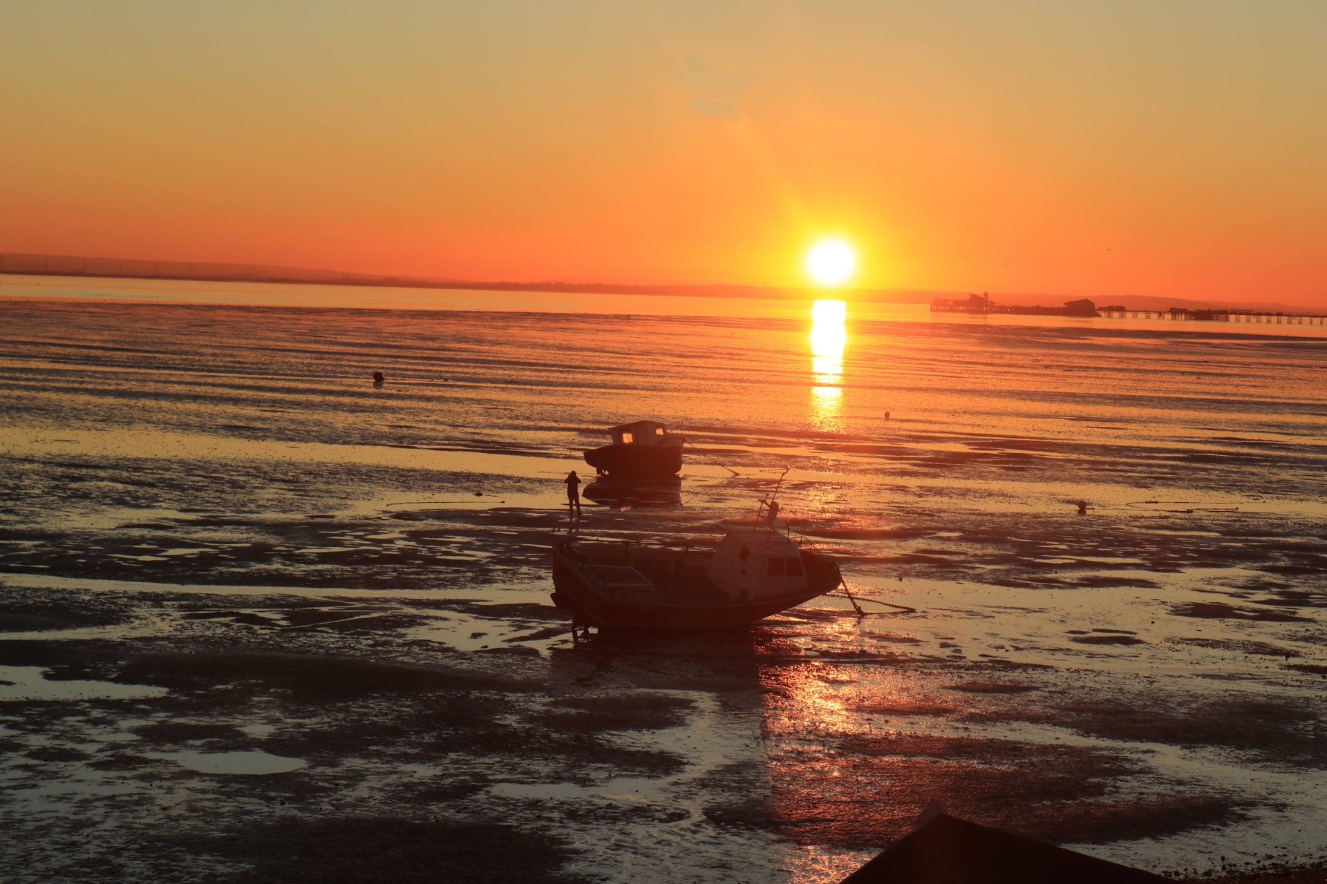
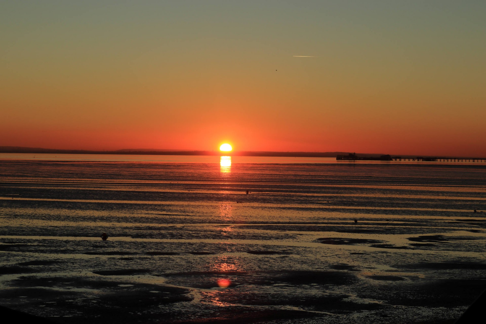
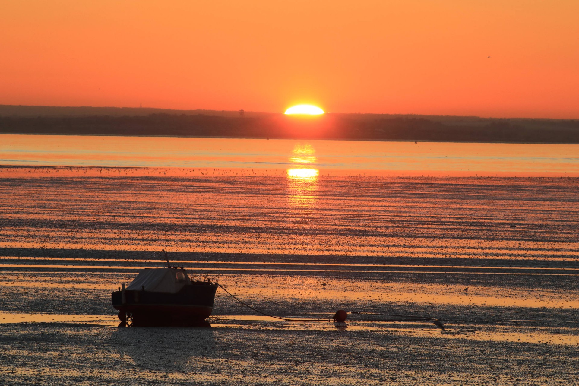
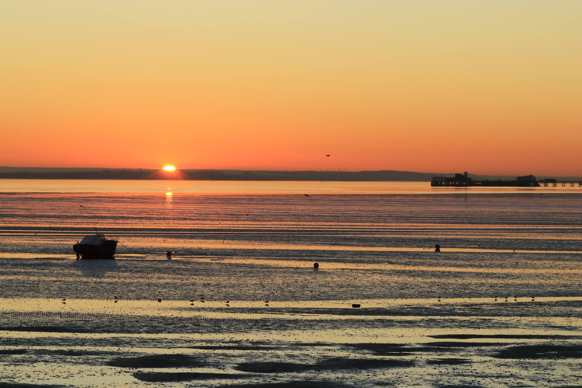
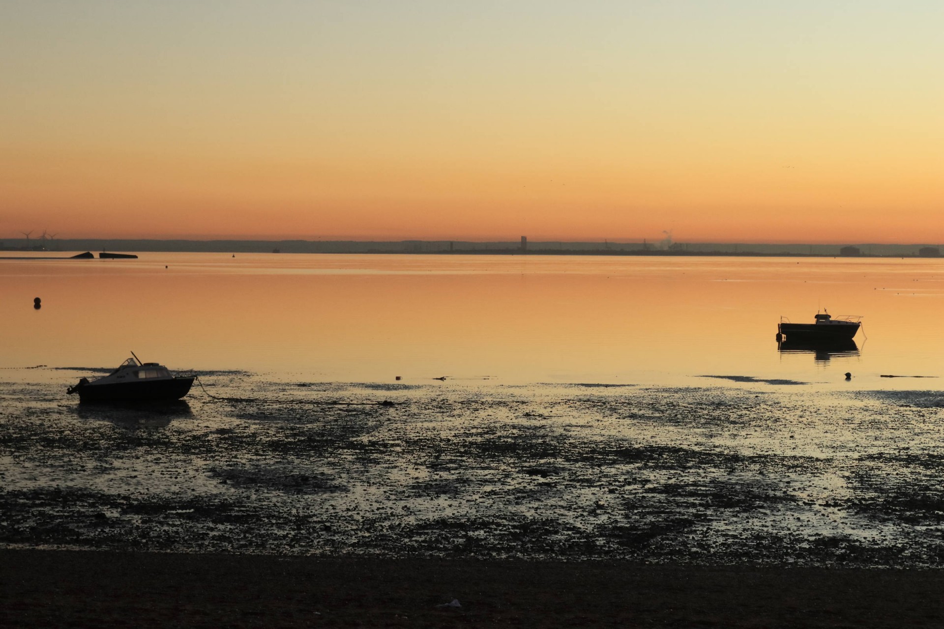
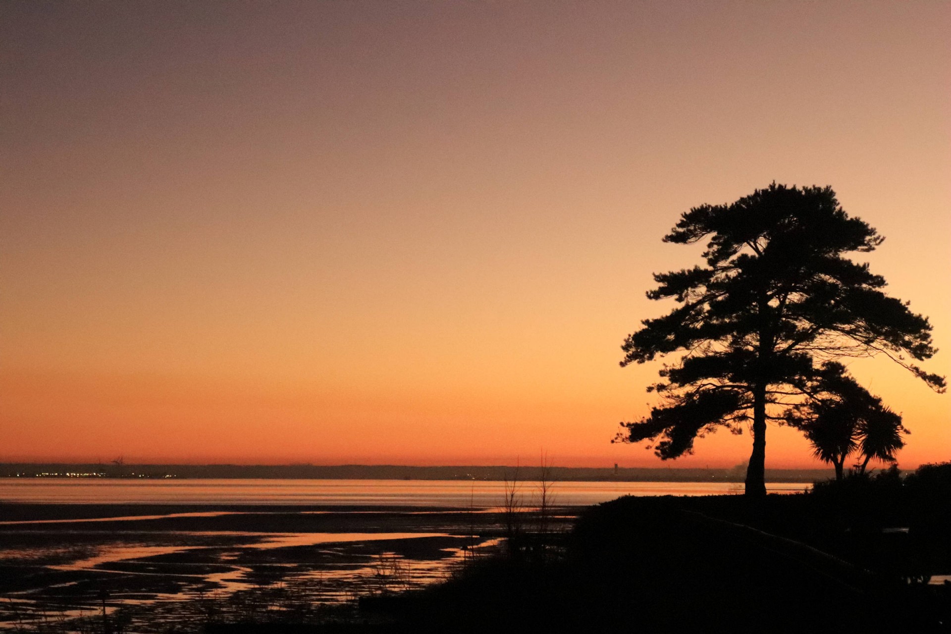
A glorious calm day with cloudless blue skies, perfect for a stroll along the Thames as it nears the end of its journey to the open sea. The story of today's walk is best illustrated by the attached pictures mostly taken by Gavin.
Just to add thanks to Peter Aylmer for assisting with the leading for the last four miles, this enabled us to offer a variety of pace and finish locations; as it happens the majority opted for his faster pace so 10 walkers reached the planned destination of Shoeburyness as darkness fell at the end of another memorable day.
Photographs by Gavin Fuller and Stephen Lannon
Other Files
Download Walk ReportGPX
A GPX file of the above route may be downloaded by clicking the link below.
Note: GPX files of Group Walks are created by LDWA Group members, and may be downloaded only by other LDWA members. They should not be made available outside the LDWA, and are used at members' own risk.
Login to Download (Members Only)You can use the interactive controls to zoom in and out and to move around the map, or click on a path or a marker for more info. (interactive map help)
You can use the interactive controls to zoom in and out and to move around the map, or click on a path or a marker for more info. (interactive map help)
© OpenStreetMap contributors under Open Database Licence
Rights of way data from selected Local Authorities
Large scale digital mapping is provided by John Thorn
At high zoom levels the route is indicative only.
Gallery


Maps:
You can use the interactive controls to zoom in and out and to move around the map, or click on a marker for more info. (interactive map help)
© OpenStreetMap contributors under Open Database Licence.
Rights of way data from selected Local Authorities.
Large scale digital mapping is provided by John Thorn.


