


LDWA LANCASHIRE WAY EASTERN LOOP DAY 3
Thu 12th May 2022
Walk Details:
Event Type
Group Walk
Region
Northern England
Local Group
West Lancashire
Distance
16.5ml.
Start Time
09.00
Route
(Thursday 12 May 2022 LANCASHIRE WAY EASTERN LOOP DAY 3
DAY 3 Stages 6 to 8 - Laneshaw Bridge (GR 922 407) to the Cliviger Gorge (GR 895 267).
16.5 miles - 7 hours walking 3,086ft of ascent. We do climb to the top of Lad Law at 517m on this day and there are other steep sections.
Some of the prettiest parts of east Lancashire with places such as Wycoller, the Atom, Boulsworth Hill and Thursden, followed by Hurstwood. The final part of the day takes in the descent into the Cliviger Gorge.
Meet at 9am at the Ratten Clough lay bye (GR 889 270) on the A646 just after Holme Chapel and the single lane bridge over the railway. I may hire a minibus to take us to the start at Laneshaw Bridge depending upon numbers. Alternatively, we may do a car shuffle. Short walk back to cars at the end of the day. Full details will be distributed nearer the time.)
Start and Finish
Entry Details:
Cost
Walk Report
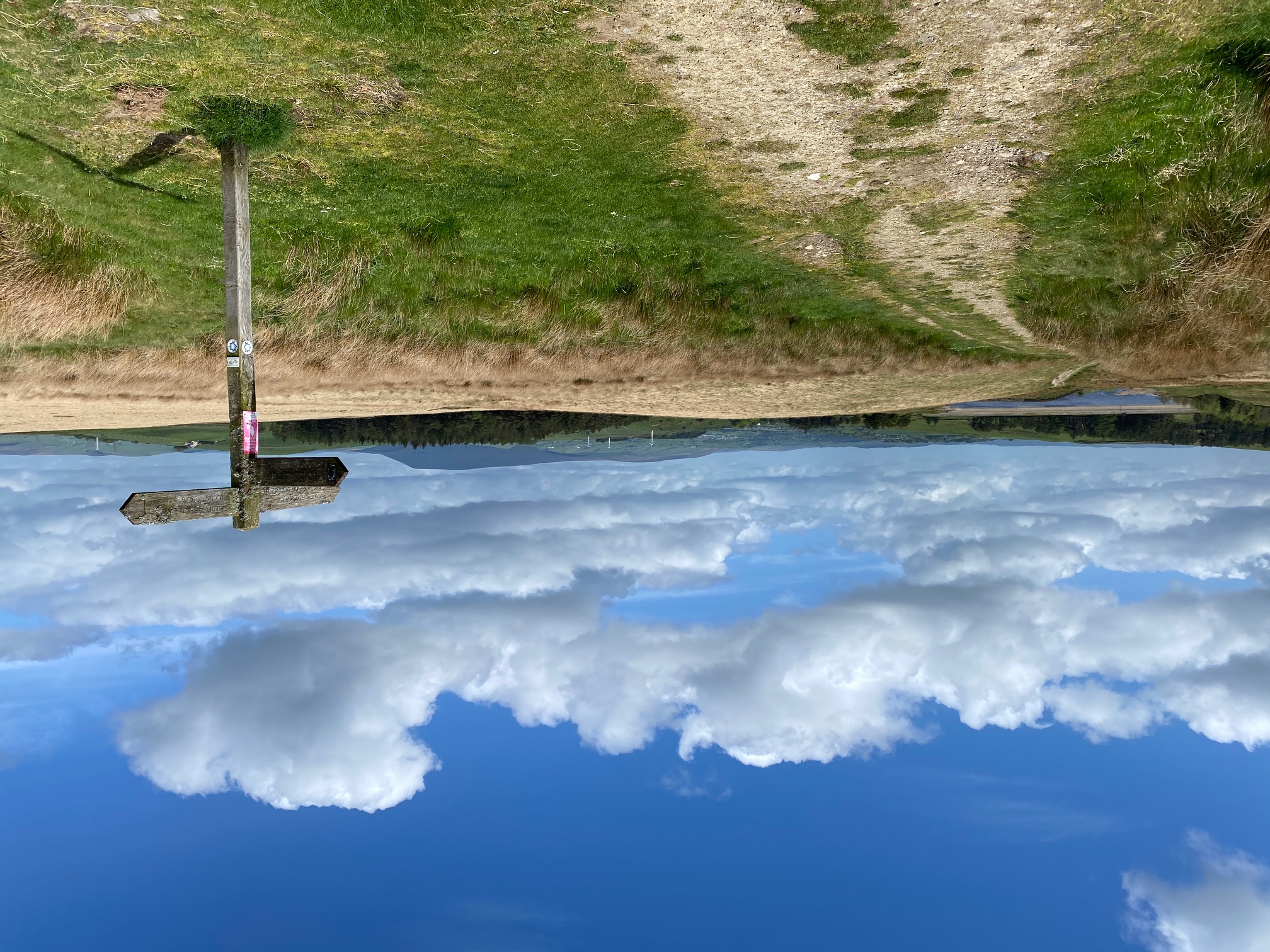
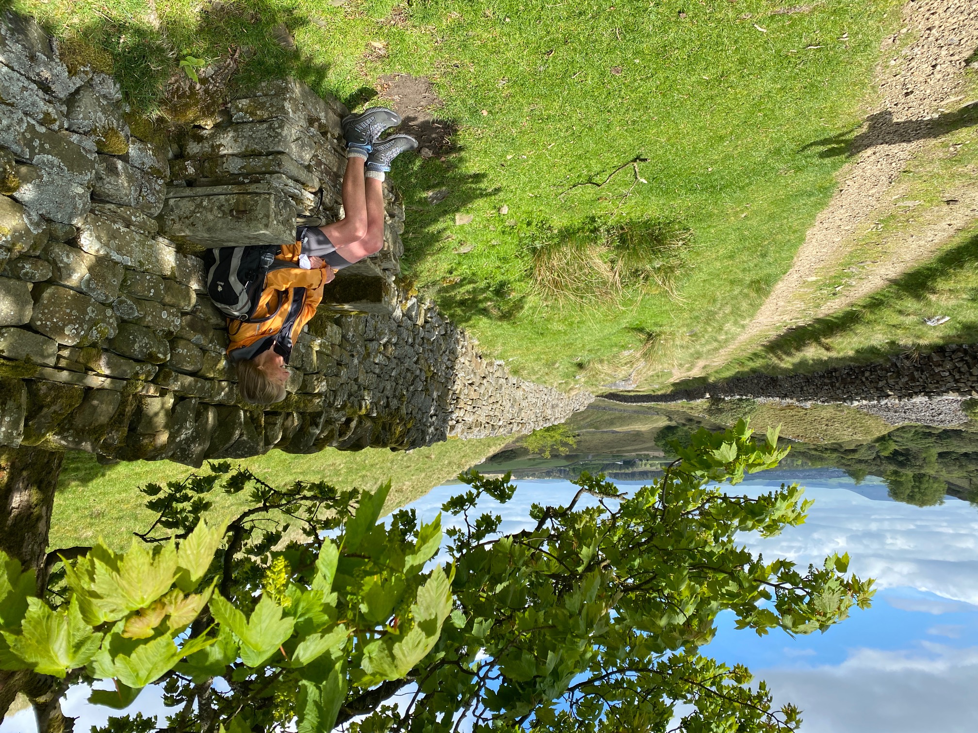
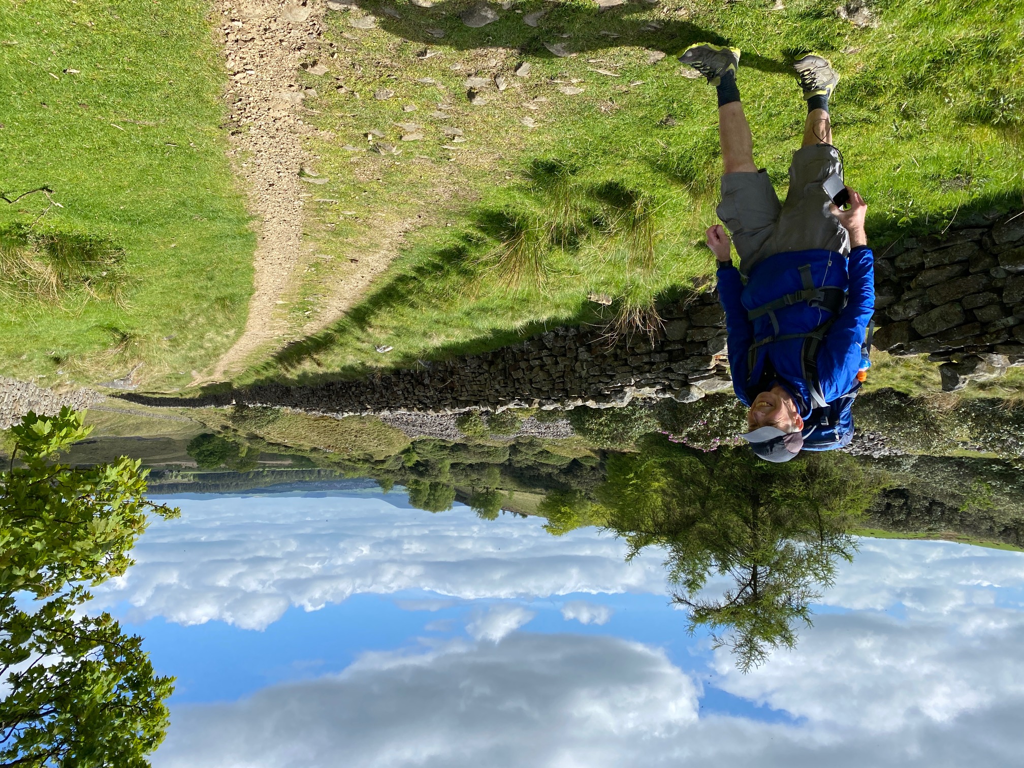
DAY 3 - Stage 6 to 8 - Laneshaw Bridge (GR 922 407) to Cliviger Gorge via Wycoller, Lad Law and Hurstwood.Walk Leader - Neil Harwood Number on walk - 3 Distance - 17 miles Weather -a cold strong wind but often sunny
We all managed to find the meeting point at Ratten Clough and then it was a drive to the start at Laneshaw Bridge, 30 minutes away. Unfortunately it was a cold and grey day but we were lucky as it quickly brightened up.
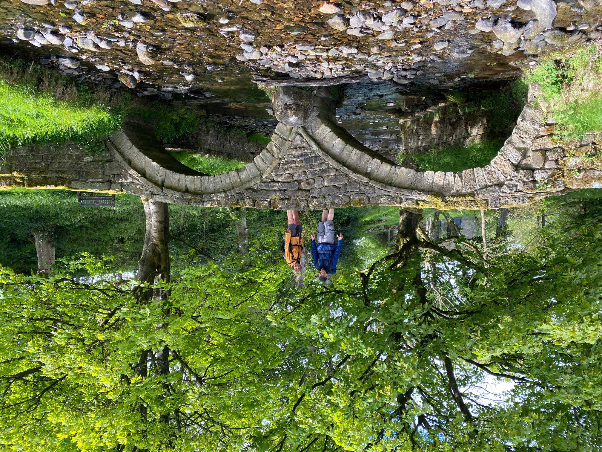
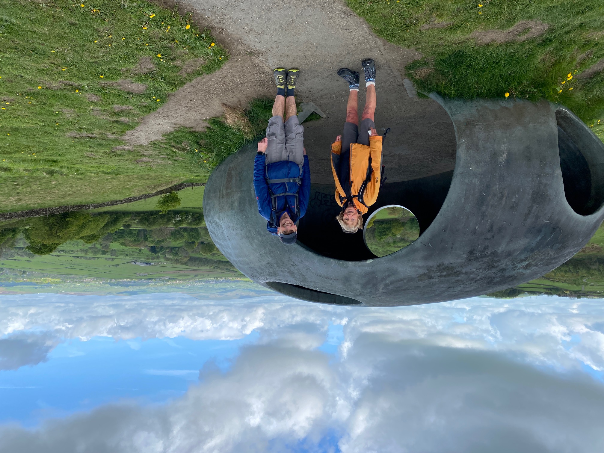
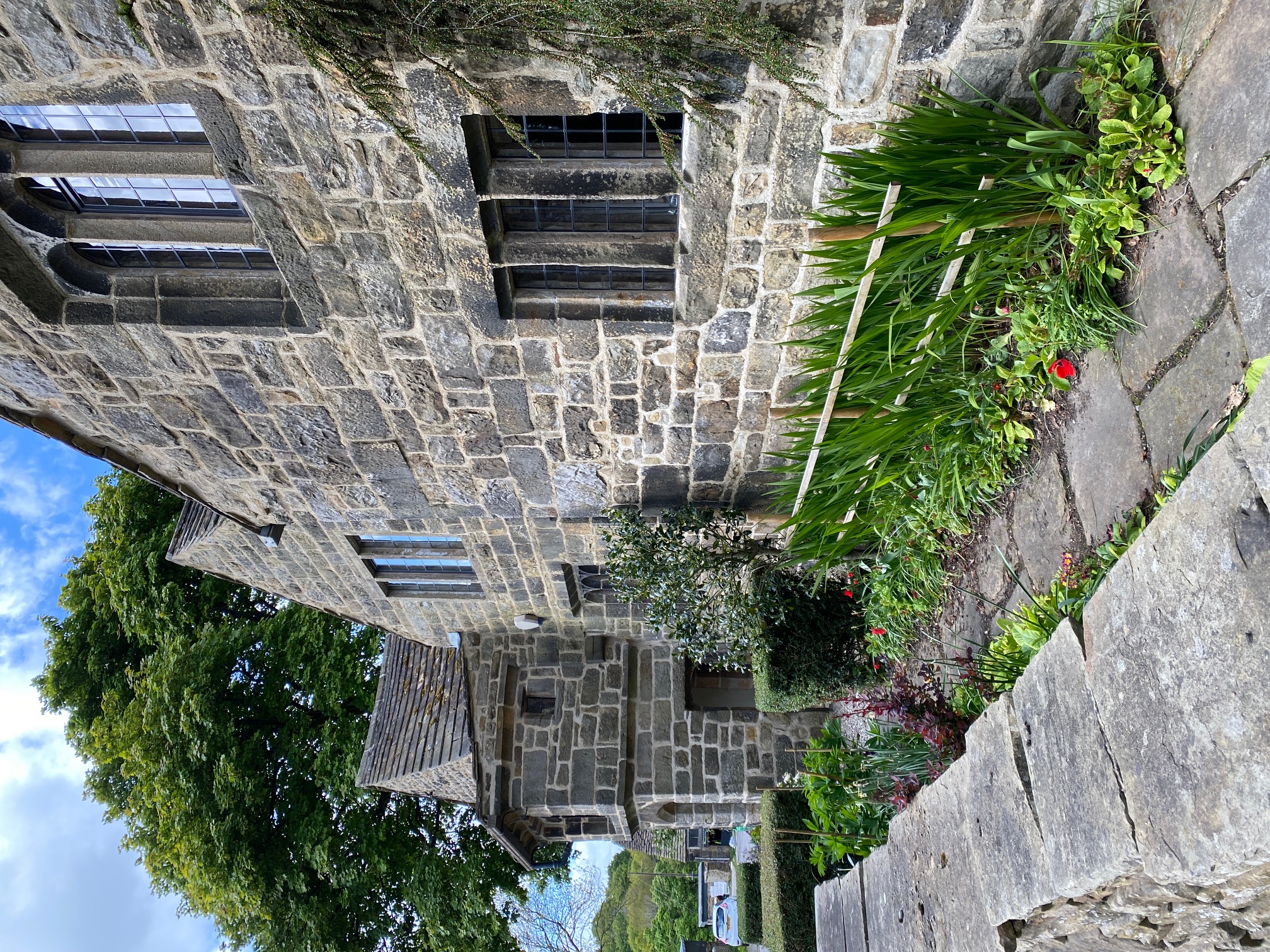
First stops are the lovely village of Wycoller and then up to the panoptican called the Atom. My two companions had not been here for years, which I really could not believe. Too much time practicing for their Hundreds!
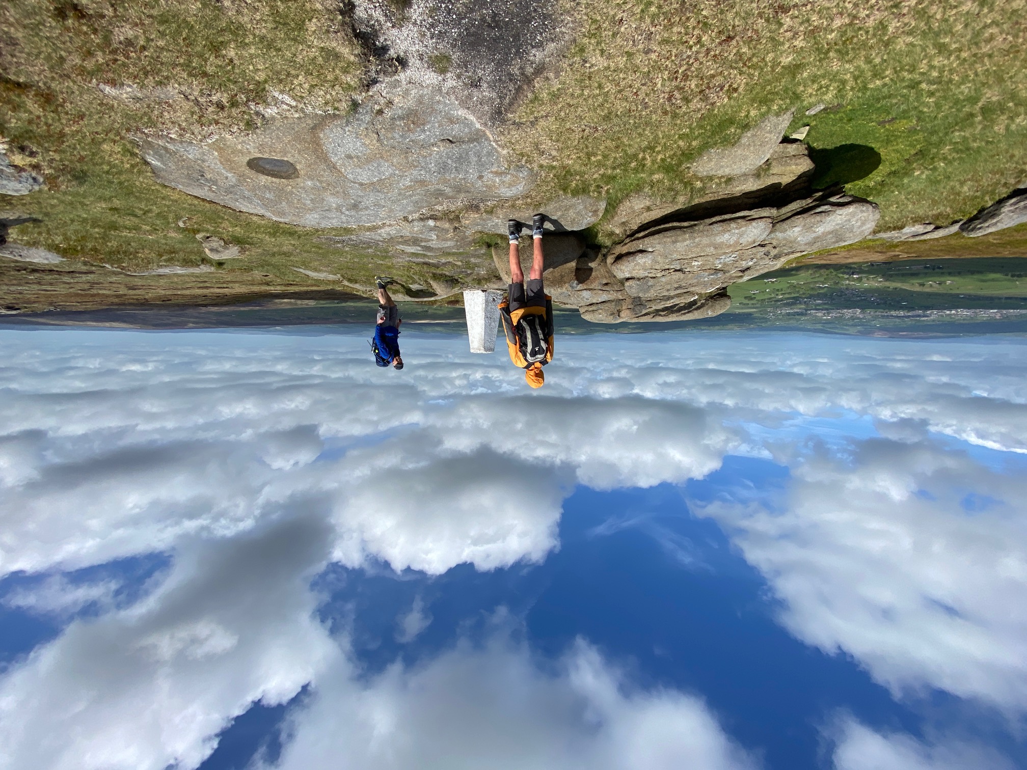
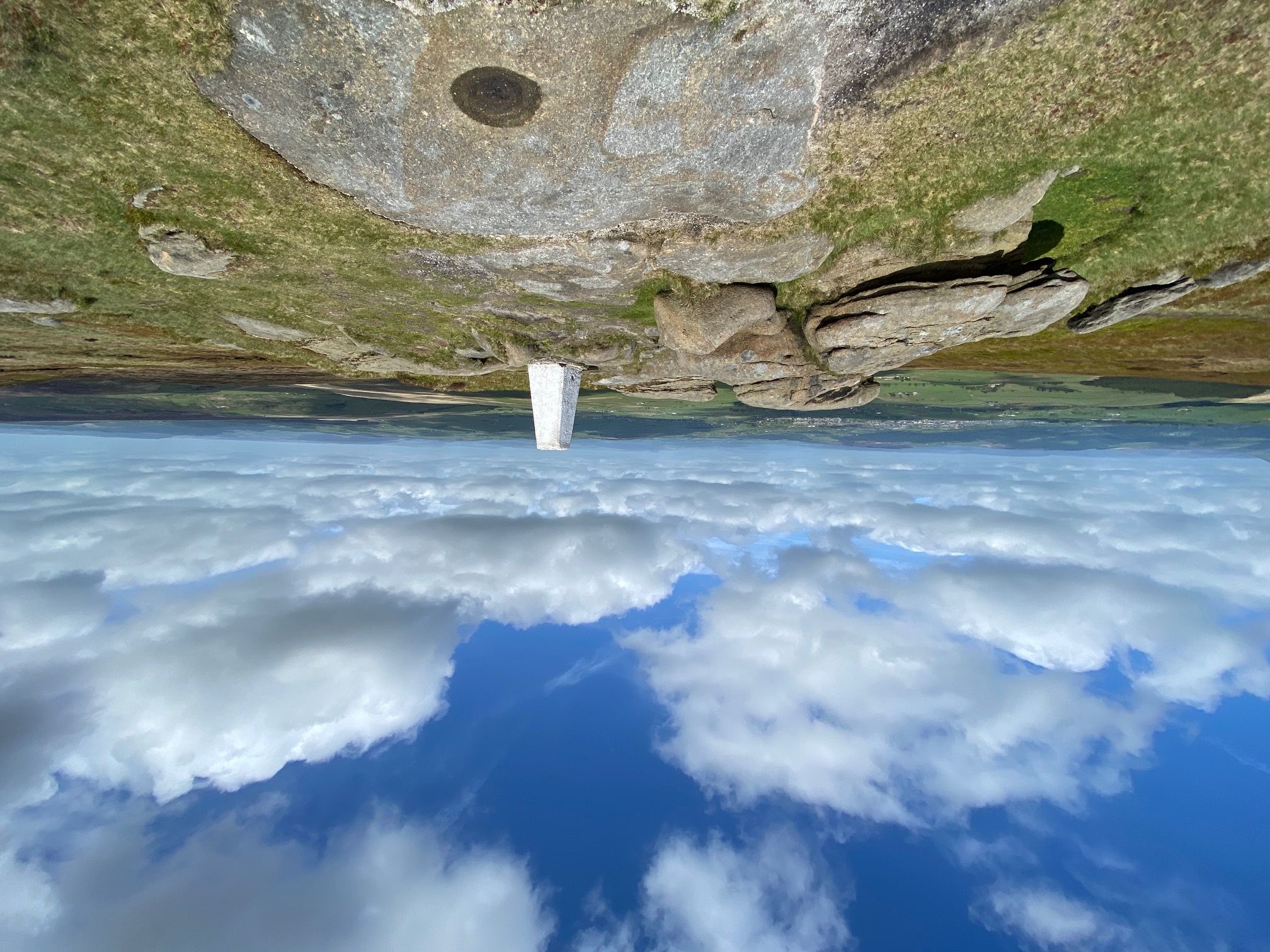
Then its on to the Pennine Bridleway (PB) for a while before coming off for the steep climb up to the summit of Lad Law accompanied by the song of a nearby cuckoo. There were great views from this summit which at 517m high is one of the seven highest in Lancashire. Back down to the PB and we continue south to the Thursden valley. Lunch in the pretty woods was accompanied by numerous butterflies.
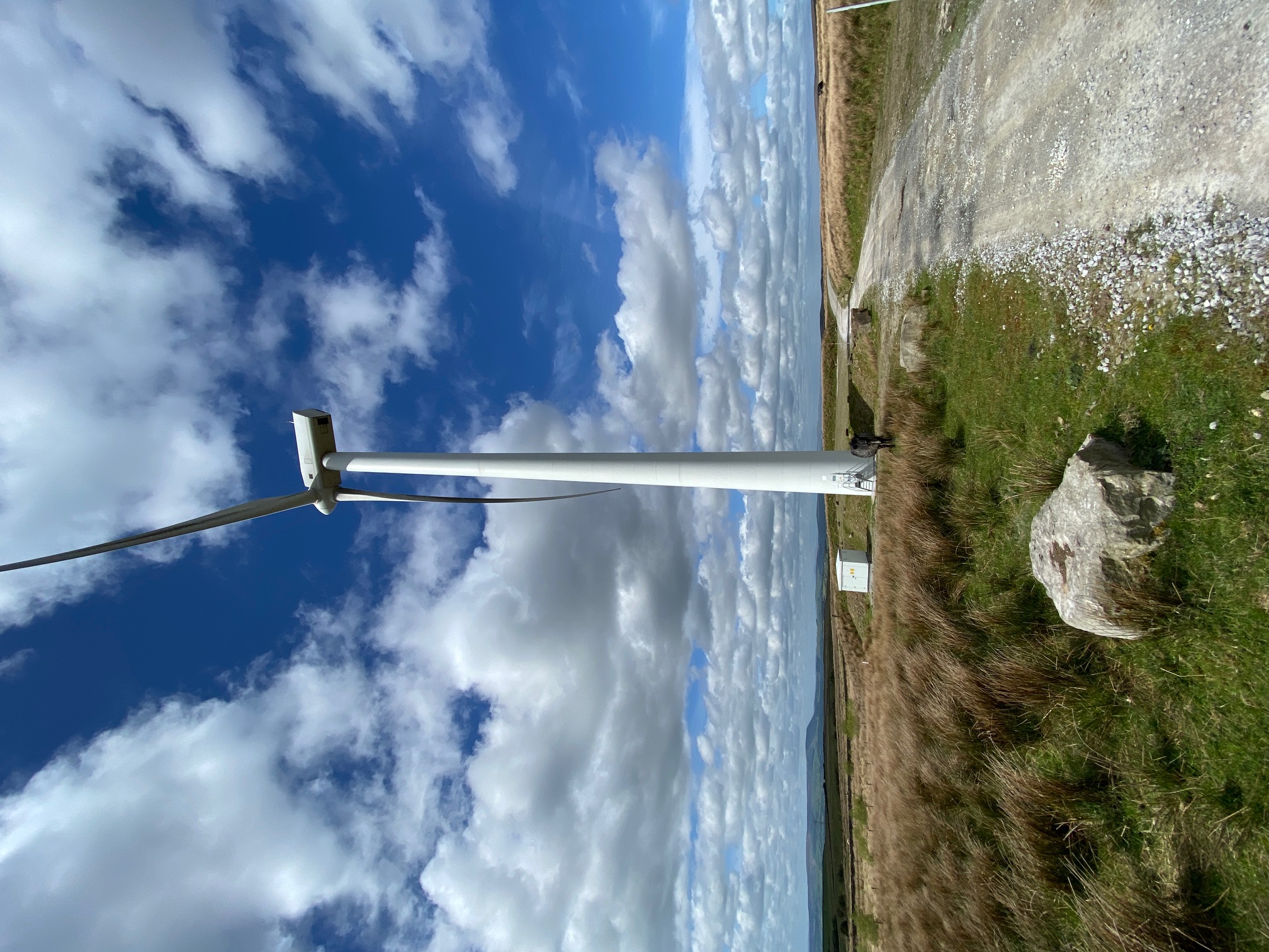
It is a steep climb out of the Thursden valley and then south over the moors before dropping down to the reservoir and village of Hurstwood. A quick look around some of the properties, including Spenser House with its literary links and its off again. The next mile or two is dominated by the hushings before exiting on to the Causeway. The route then takes us through Coal Clough Wind Farm, with its huge turbines making the most of the strong wind, which had been with most of the day.
The final section takes us along the southern edge of the Cliviger Gorge with great views into Yorkshire just down the valley and in particular Stoodley Pike. It is then just a short decent down to the road and back to the cars at a respectable time of 4.15pm.
I am also learning lots about the wildlife on these walks in particular the birds. Last week we saw a Little Owl and this week curlews, lapwings at close quarters, a great crested Grebe, a dipper to name but a few. Thanks to both Jaqui and Brian.
Other Files
GPX
A GPX file of the above route may be downloaded by clicking the link below.
Note: GPX files of Group Walks are created by LDWA Group members, and may be downloaded only by other LDWA members. They should not be made available outside the LDWA, and are used at members' own risk.
Login to Download (Members Only)You can use the interactive controls to zoom in and out and to move around the map, or click on a path or a marker for more info. (interactive map help)
You can use the interactive controls to zoom in and out and to move around the map, or click on a path or a marker for more info. (interactive map help)
Contains Ordnance Survey data © Crown copyright and database right 2016.
© OpenStreetMap contributors under Open Database Licence
Rights of way data from selected Local Authorities
Large scale digital mapping is provided by John Thorn
At high zoom levels the route is indicative only.
© OpenStreetMap contributors under Open Database Licence
Rights of way data from selected Local Authorities
Large scale digital mapping is provided by John Thorn
At high zoom levels the route is indicative only.
Gallery
Maps:
You can use the interactive controls to zoom in and out and to move around the map, or click on a marker for more info. (interactive map help)
Contains Ordnance Survey data © Crown copyright and database right 2016.
© OpenStreetMap contributors under Open Database Licence.
Rights of way data from selected Local Authorities.
Large scale digital mapping is provided by John Thorn.
© OpenStreetMap contributors under Open Database Licence.
Rights of way data from selected Local Authorities.
Large scale digital mapping is provided by John Thorn.


