


TUESDAY SOCIAL WALK - DOWNHAM AND THE RIVER RIBB;LE
Tue 15th Mar 2022
Walk Details:
Event Type
Group Walk
Region
Northern England
Local Group
West Lancashire
Distance
11ml.
Start Time
09.30
Route
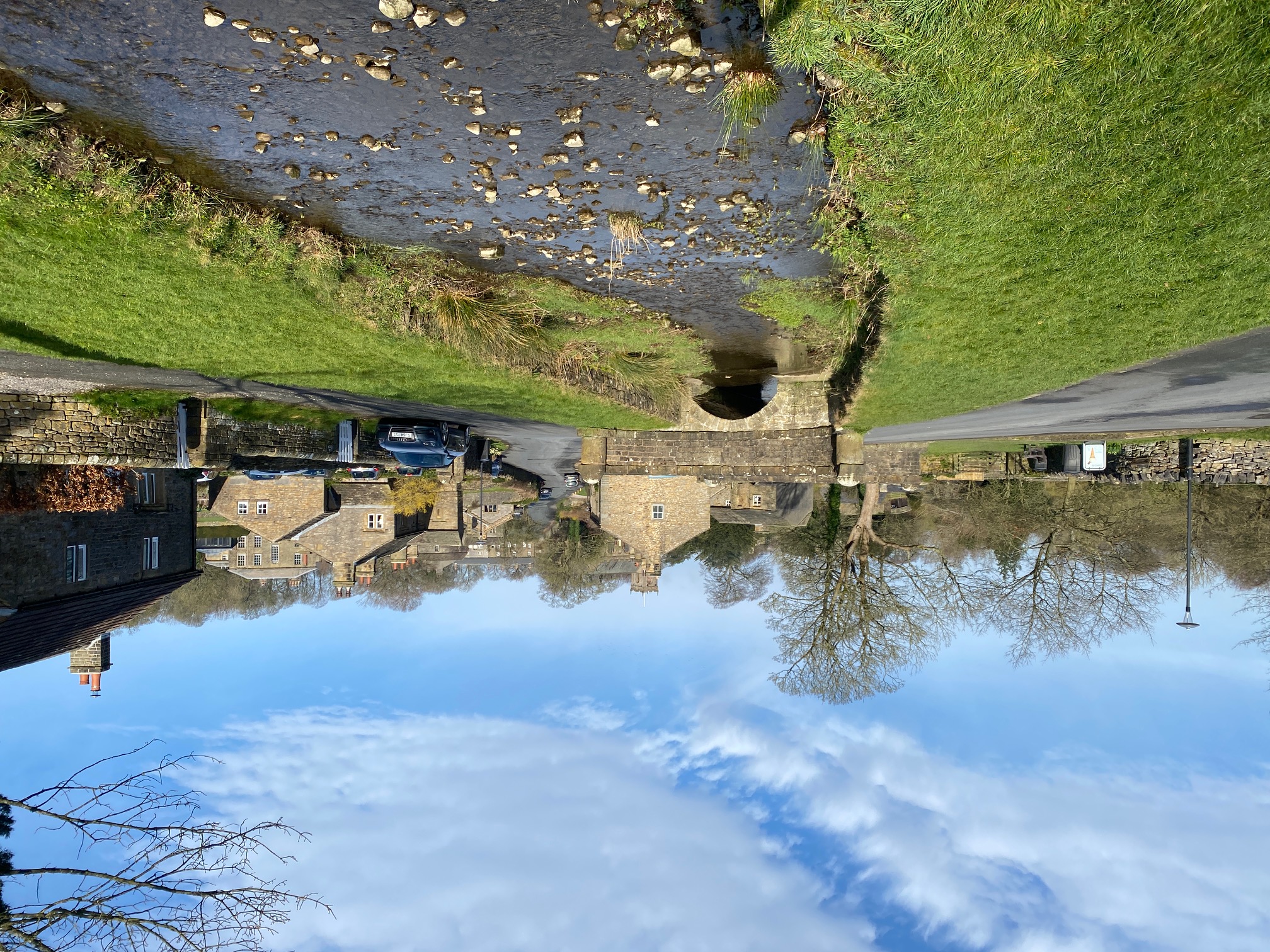
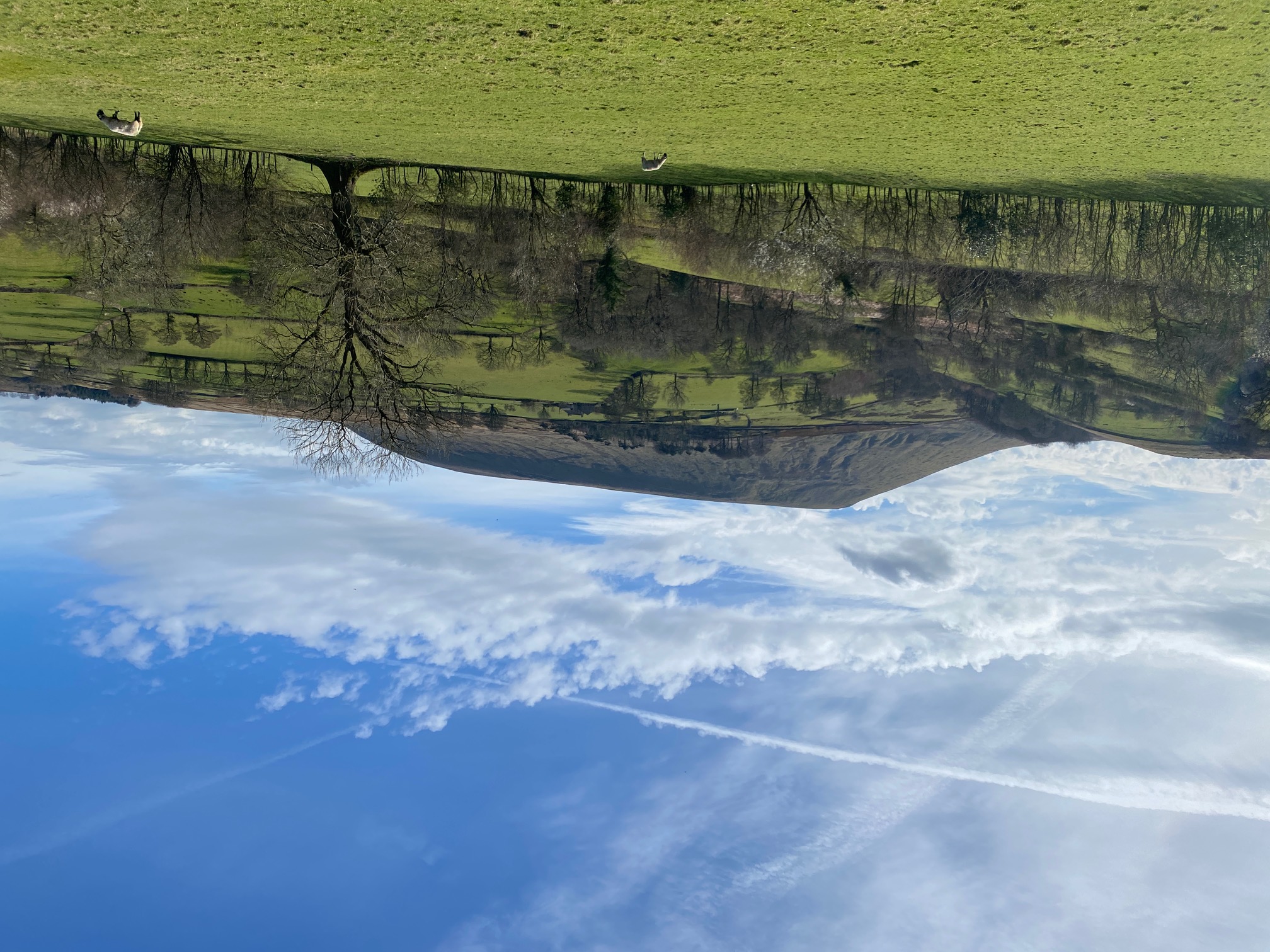
No dogs please. Parking: Downham Village visitor car park (free, and with toilets), nearest postcode BB7 4BS, SD 785 441. The walk includes a large number of stiles, and is muddy in a number of places, and includes many fields containing sheep, so no dogs please. The route leaves Downham in the direction of Pendle Hill, up to Lane Head. It then veers off towards Twiston, and then on to Twiston Mill. From there the route goes to Downham Bridge and then on to Sawley. The Ribble Way is followed to Grindleton, and on to Chatburn. From Chatburn, back in the direction of Downham Bridge before turning back towards Downham village. The route is undulating, although there are no stiff climbs, but can be awkward at times.
Start and Finish
Entry Details:
Cost
Other Files
GPX
A GPX file of the above route may be downloaded by clicking the link below.
Note: GPX files of Group Walks are created by LDWA Group members, and may be downloaded only by other LDWA members. They should not be made available outside the LDWA, and are used at members' own risk.
Login to Download (Members Only)You can use the interactive controls to zoom in and out and to move around the map, or click on a path or a marker for more info. (interactive map help)
You can use the interactive controls to zoom in and out and to move around the map, or click on a path or a marker for more info. (interactive map help)
Contains Ordnance Survey data © Crown copyright and database right 2016.
© OpenStreetMap contributors under Open Database Licence
Rights of way data from selected Local Authorities
Large scale digital mapping is provided by John Thorn
At high zoom levels the route is indicative only.
© OpenStreetMap contributors under Open Database Licence
Rights of way data from selected Local Authorities
Large scale digital mapping is provided by John Thorn
At high zoom levels the route is indicative only.
Gallery
Maps:
You can use the interactive controls to zoom in and out and to move around the map, or click on a marker for more info. (interactive map help)
Contains Ordnance Survey data © Crown copyright and database right 2016.
© OpenStreetMap contributors under Open Database Licence.
Rights of way data from selected Local Authorities.
Large scale digital mapping is provided by John Thorn.
© OpenStreetMap contributors under Open Database Licence.
Rights of way data from selected Local Authorities.
Large scale digital mapping is provided by John Thorn.


