


Avoid the Christmas shoppers walk
Thu 23rd Dec 2021
Walk Details:
Blackwater valley, Basingstoke canal, forest of Eversley mainly flat on good surface. The walk is based on previous walks that I have led but there has not been a recent recce; there may be some surprises!
Entry Details:
Walk Report
Avoid the Christmas Shoppers Walk, Thursday 23rd December 20217 walkers, 23 miles - leader Jerome Ripp
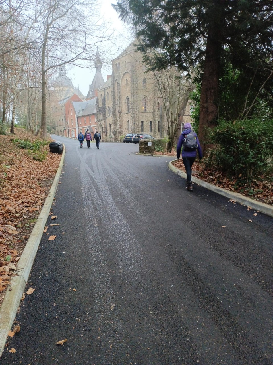
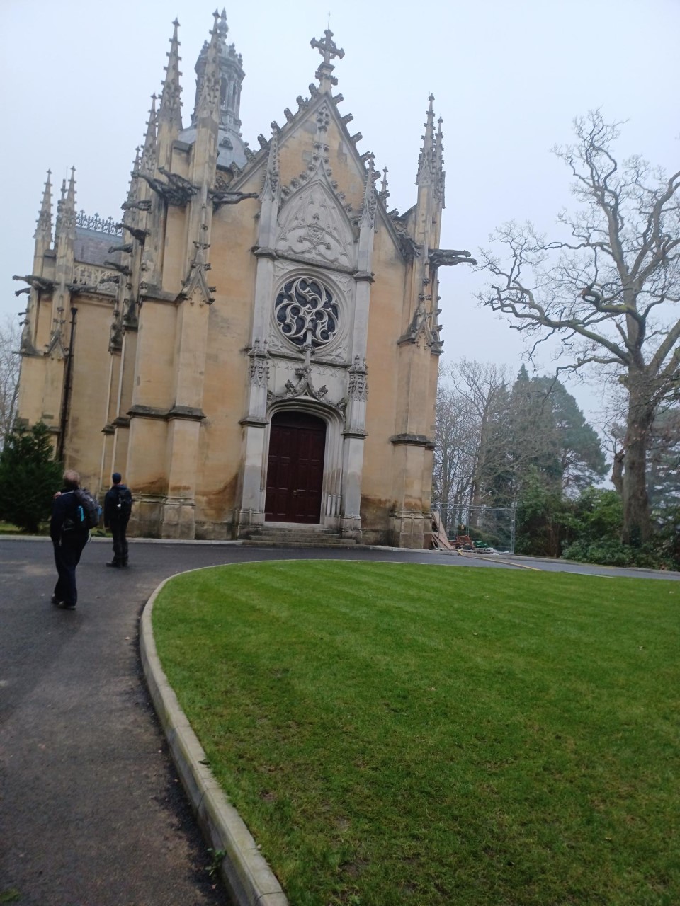
First a look at Farnborough Abbey, built as a mausoleum for Napoleon III, the last Emperor of France; his wife and son were also laid to rest here. We walked in through an open gate and as we were contemplating this grandiose structure built to resemble Les Invalides we were accosted by a monk who gently reminded us that this was his front garden. He was happy for us to look around the front and take pictures but not to invade the privacy of his back garden. The first interesting event of the day.
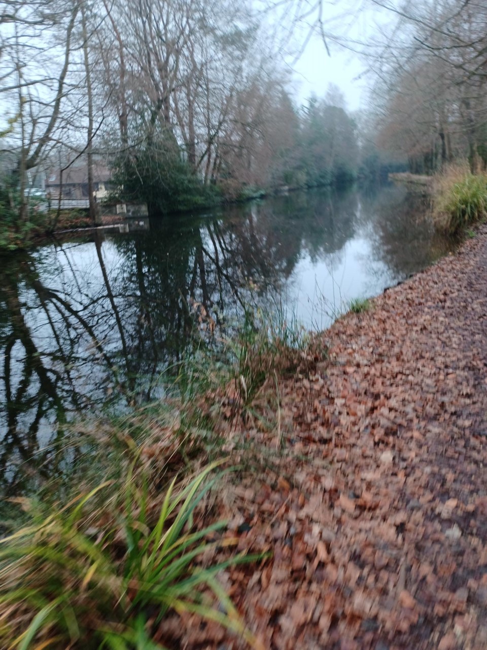
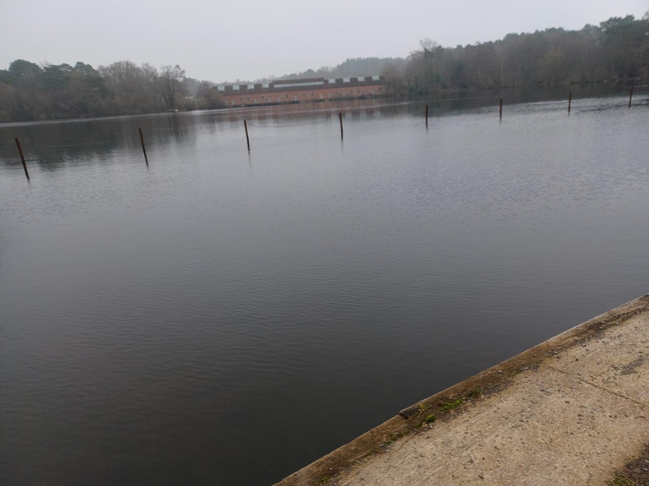
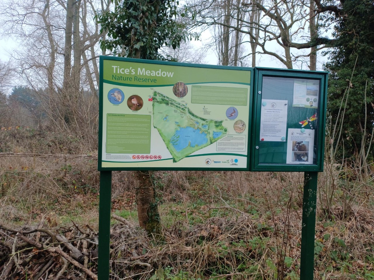
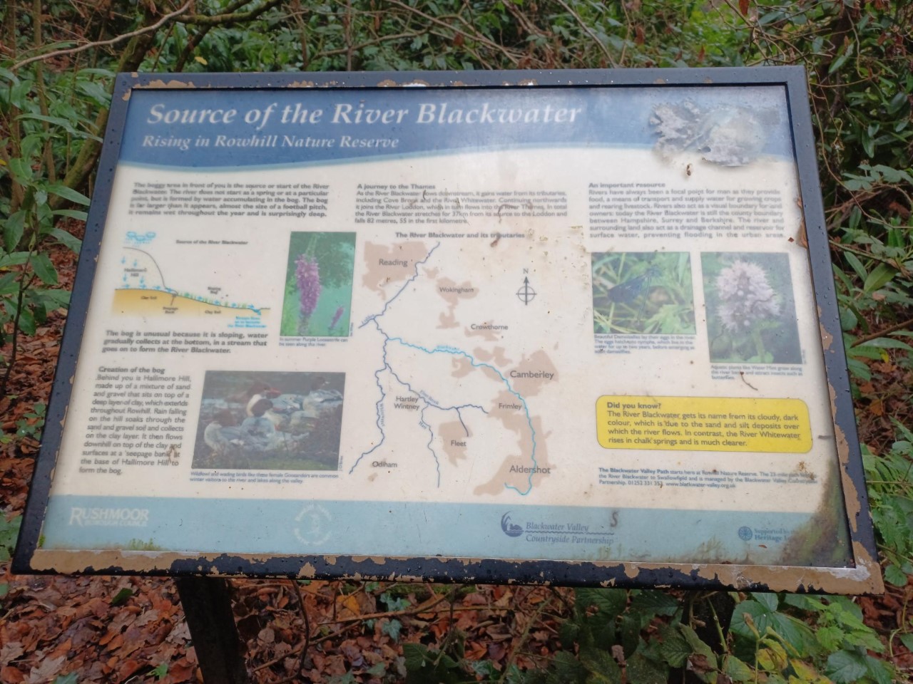
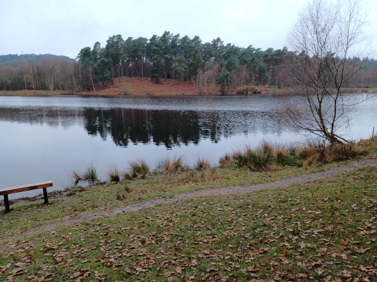
Through Frimley Hatches nature reserve and the first of many vast lakes. Frimley Green lead us to the Basingstoke Canal, an area of quiet, gentle beauty and a good surface to get the miles in. At the vast water area of Lakeside Park we switched to the Blackwater Valley footpath through more nature reserves, which usually means muddy paths, lakes and woodland to the source of the river.
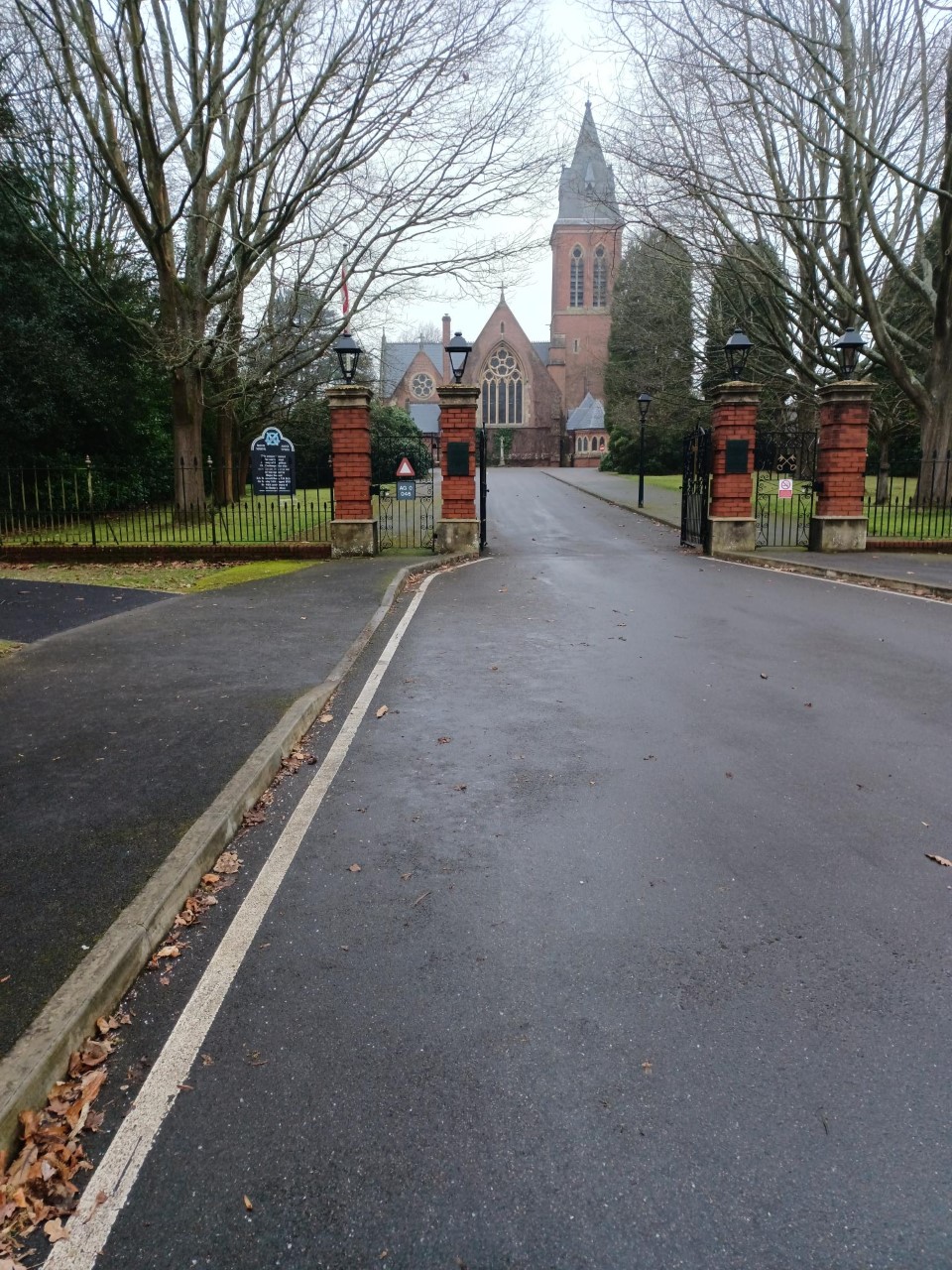
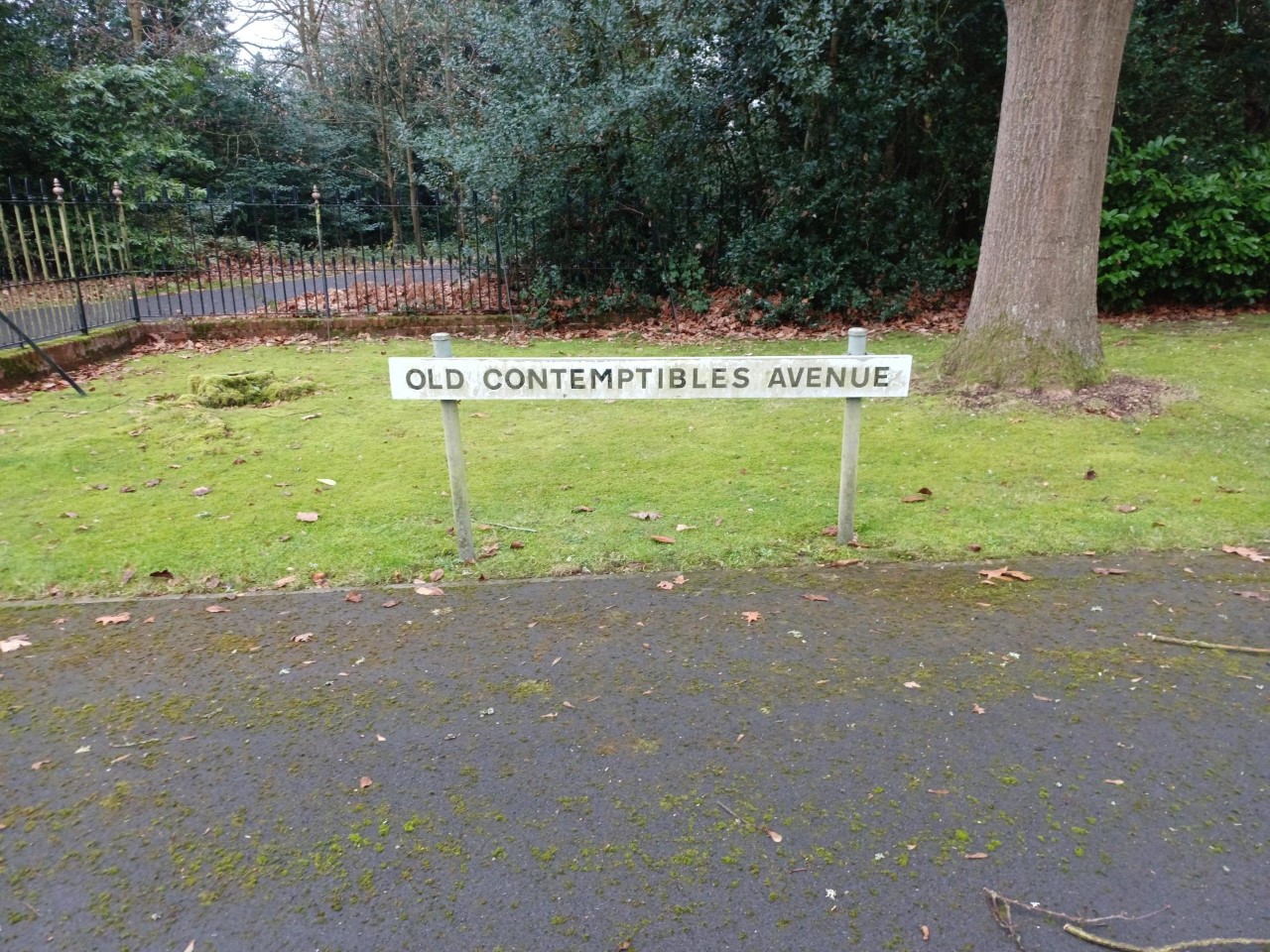
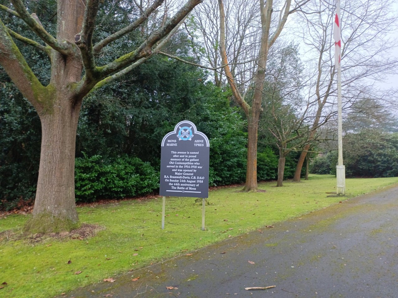
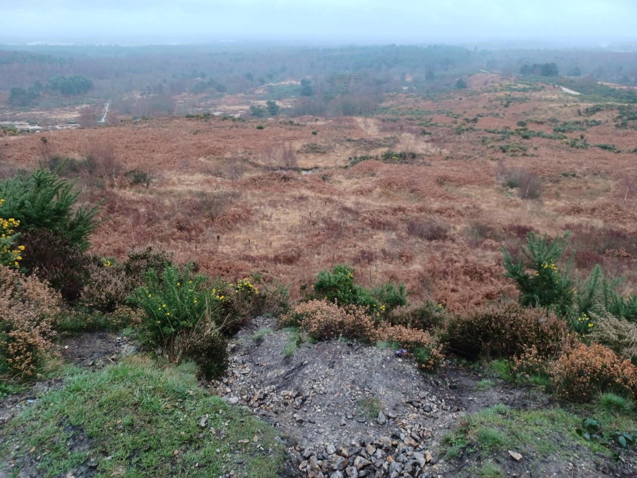
A complete change of scenery as we entered Eversley Forest which is a vast MOD area with fortunately substantial public access. We finally crossed some contours as we passed through places with exotic names; Long Bottom, Skirmishing Hill, to our lunch stop at the military church with a memorial to the "Old Contemptibles"
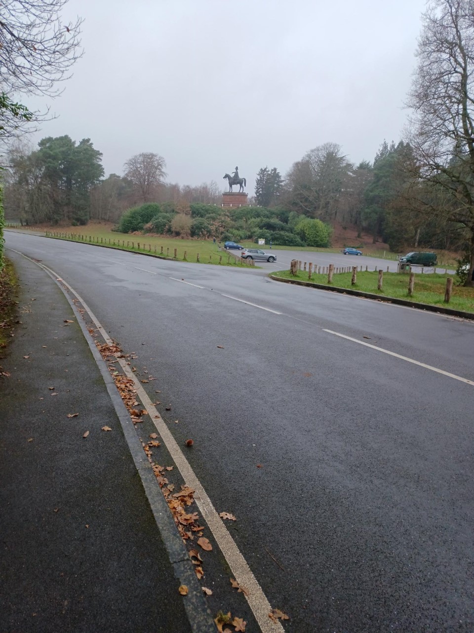
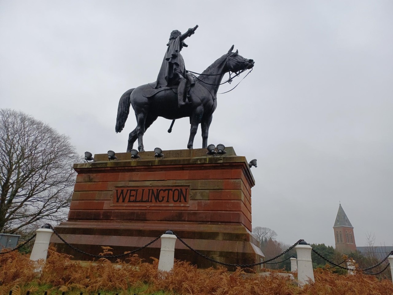
Nearby on the top of Round Hill is an equally grandiose statue to Wellington, an ironic oddity of history that he and a relative of Napoleon should be so closely connected geographically. A succession of small hills and sandy tracks took us to the highpoint of Caesar's camp, a limited view as it was a grey low cloud day. The leader now decided it was time for some fun; an almost vertical descent through the undergrowth, lots of bundu bashing and an off-piste route that terminated in a rather imposing locked military gate. The group rose to the challenge in magnificent fashion in a variety of ways, 1 climbed over, 1 limbo danced under, 2 found a narrow gap where they could squeeze through and 3 found routes in the nearby woodland to get through a barbed wire fence.
A more prosaic final section back on the Basingstoke Canal east to Montgomery, a fine avenue of trees at North Camp and back to Farnborough station. 23 miles with not one stile, no Christmas shoppers and few other walkers. This was the 40th walk I led over the year, 869 miles and an appropriate walk to conclude the year.
Photographs by Jerome Ripp
Other Files
Download Walk ReportGPX
A GPX file of the above route may be downloaded by clicking the link below.
Note: GPX files of Group Walks are created by LDWA Group members, and may be downloaded only by other LDWA members. They should not be made available outside the LDWA, and are used at members' own risk.
Login to Download (Members Only)You can use the interactive controls to zoom in and out and to move around the map, or click on a path or a marker for more info. (interactive map help)
You can use the interactive controls to zoom in and out and to move around the map, or click on a path or a marker for more info. (interactive map help)
© OpenStreetMap contributors under Open Database Licence
Rights of way data from selected Local Authorities
Large scale digital mapping is provided by John Thorn
At high zoom levels the route is indicative only.
Gallery

Maps:
You can use the interactive controls to zoom in and out and to move around the map, or click on a marker for more info. (interactive map help)
© OpenStreetMap contributors under Open Database Licence.
Rights of way data from selected Local Authorities.
Large scale digital mapping is provided by John Thorn.


