


North Wessex Noodle
Sat 21st May 2022
Walk Details:
Circular going to onto the North Wessex Downs at Walbury Hill (the county top of Berkshire) continuing along the ridge before descending after lunch to the chocolate box village of Ham for an afternoon pub stop. Then across to Hungerford before a canalside walk back to the start point
Entry Details:
Walk Report
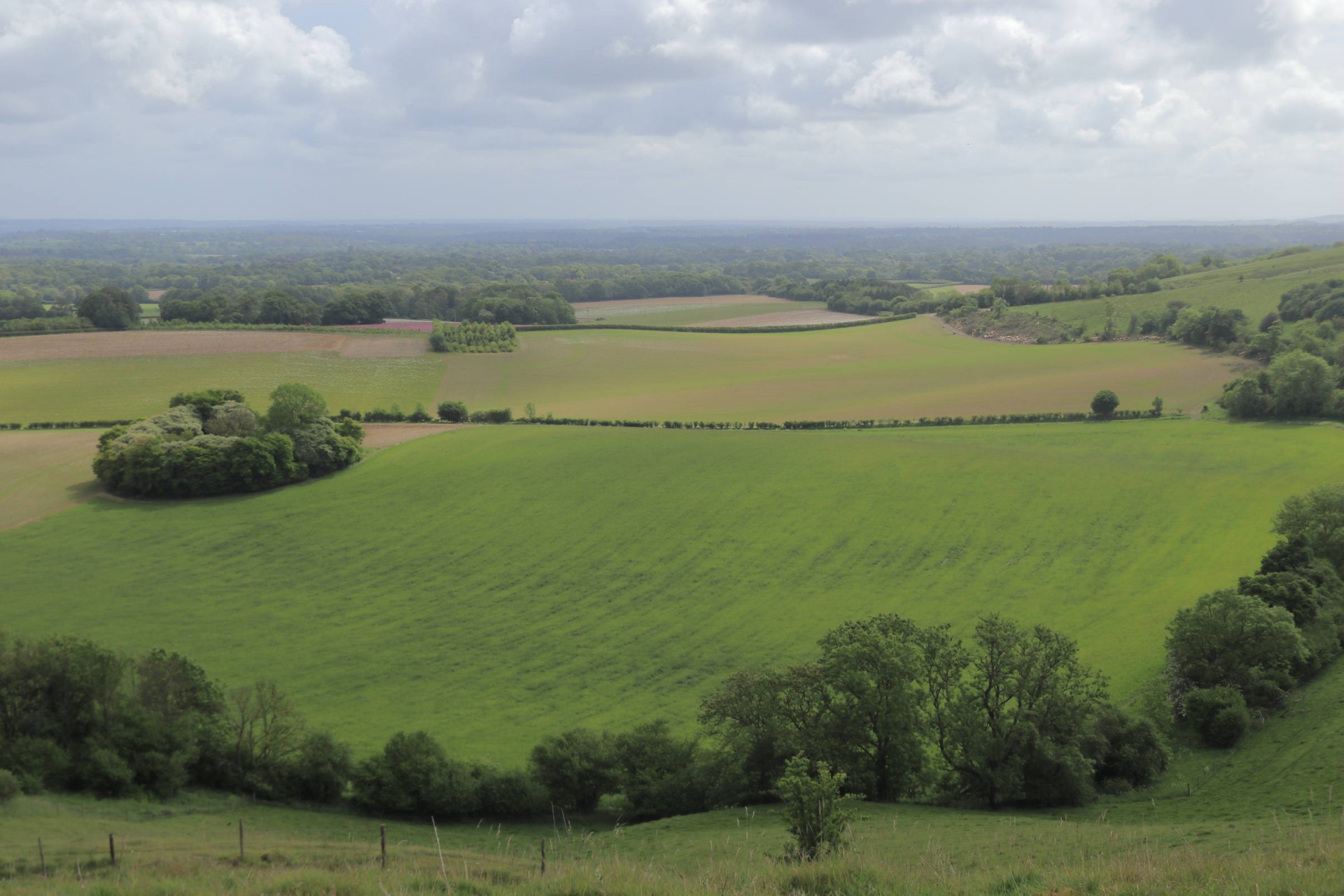
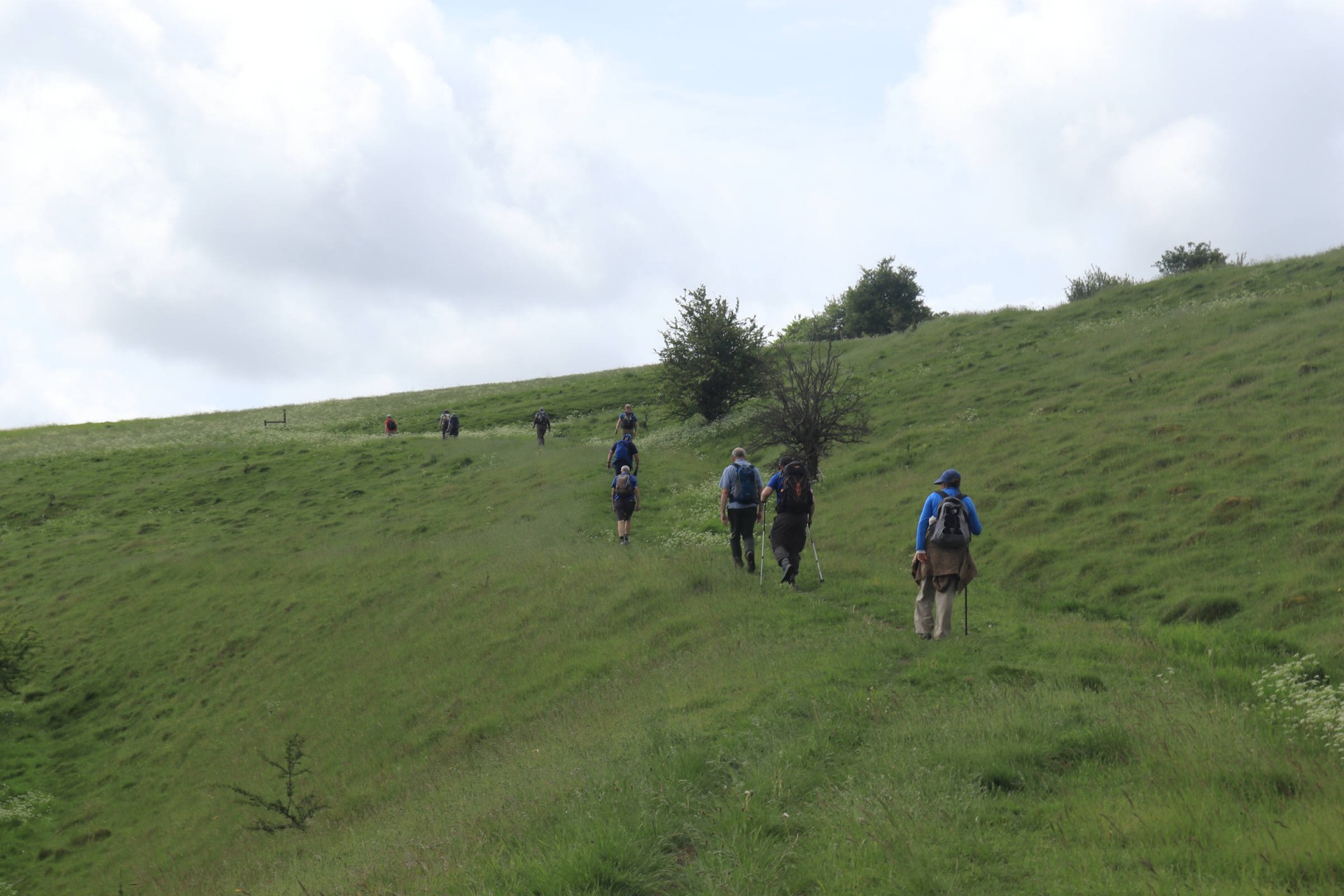
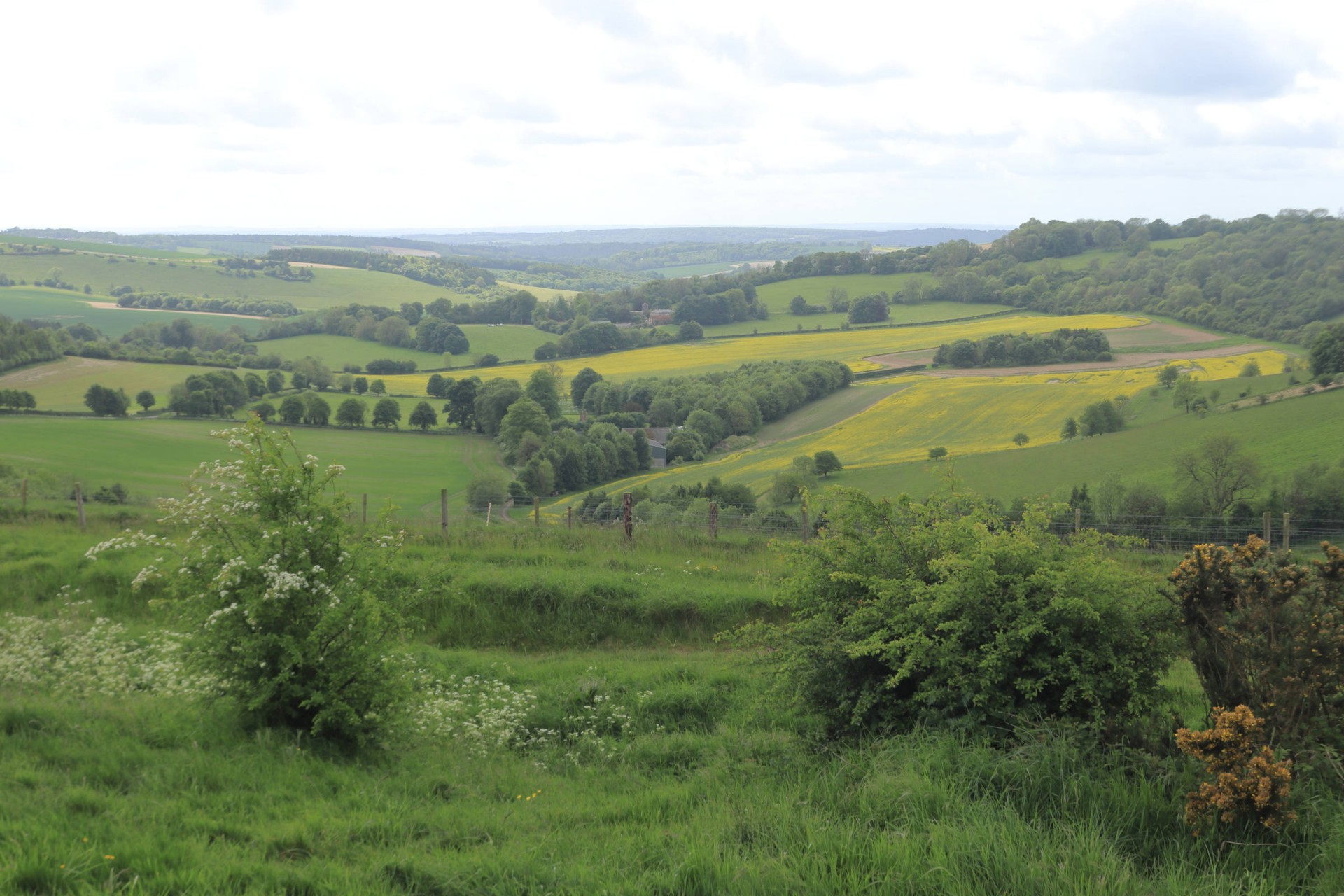
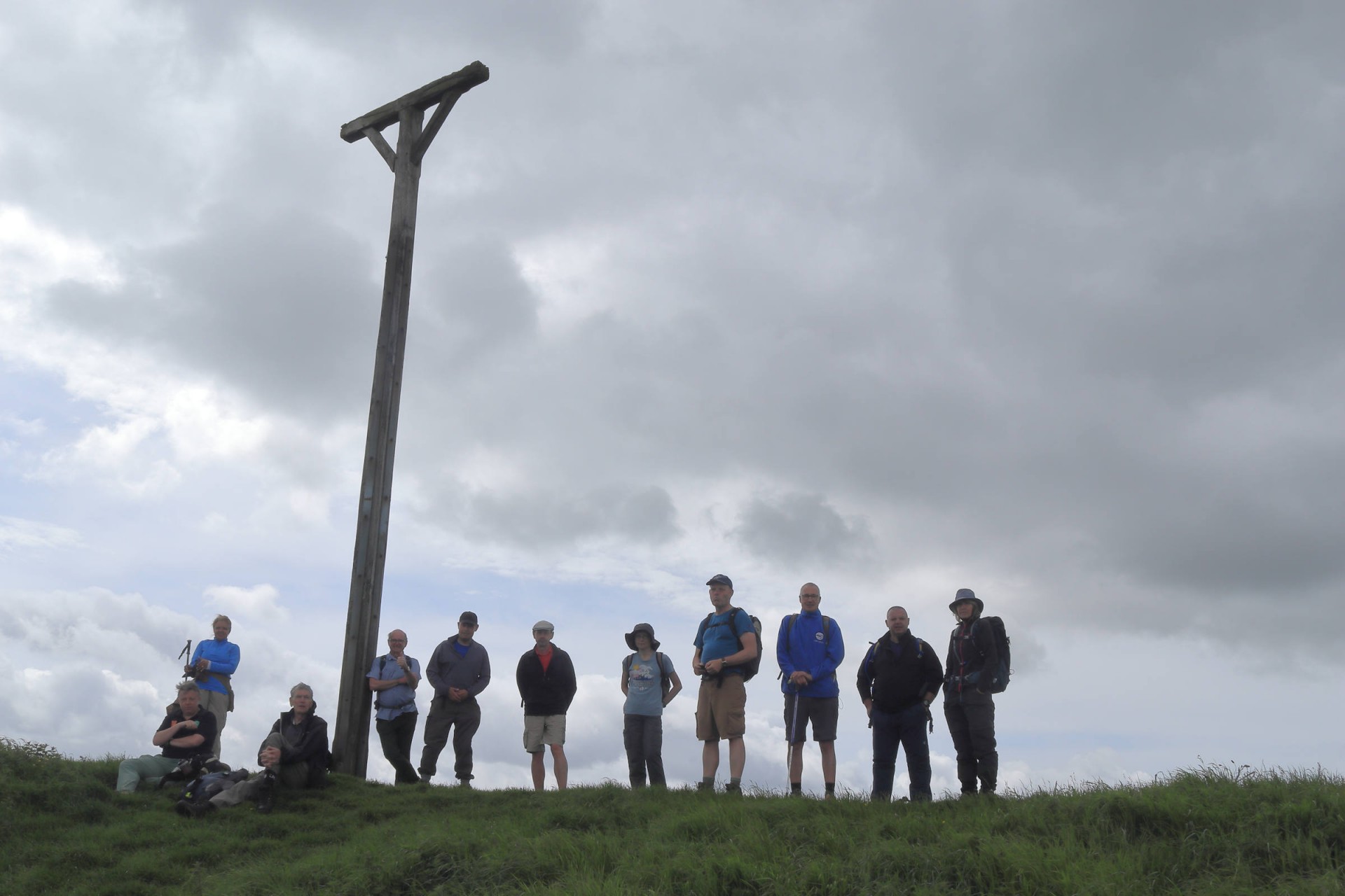
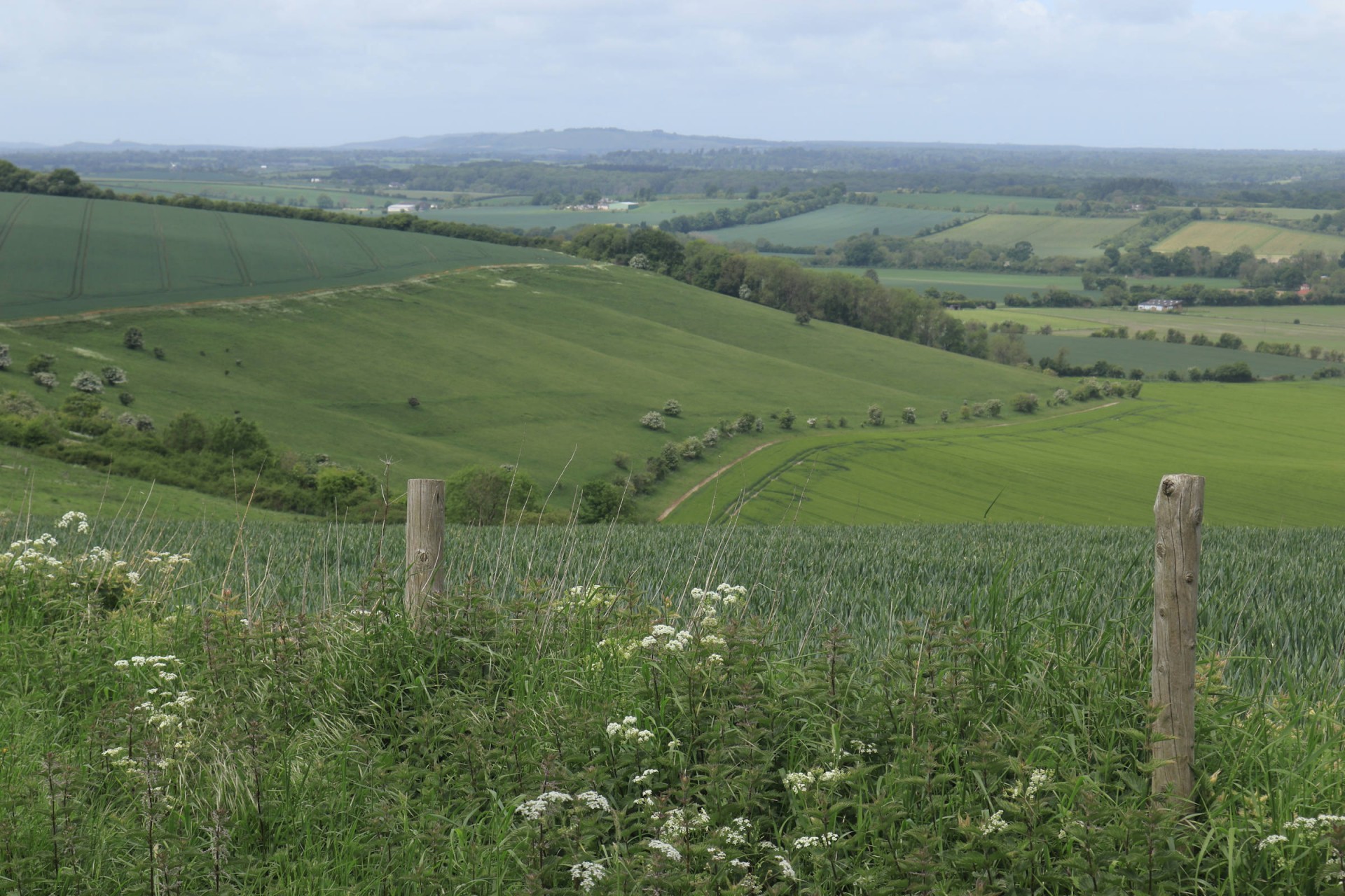
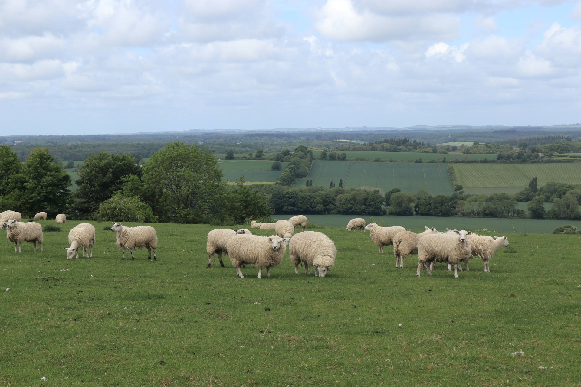
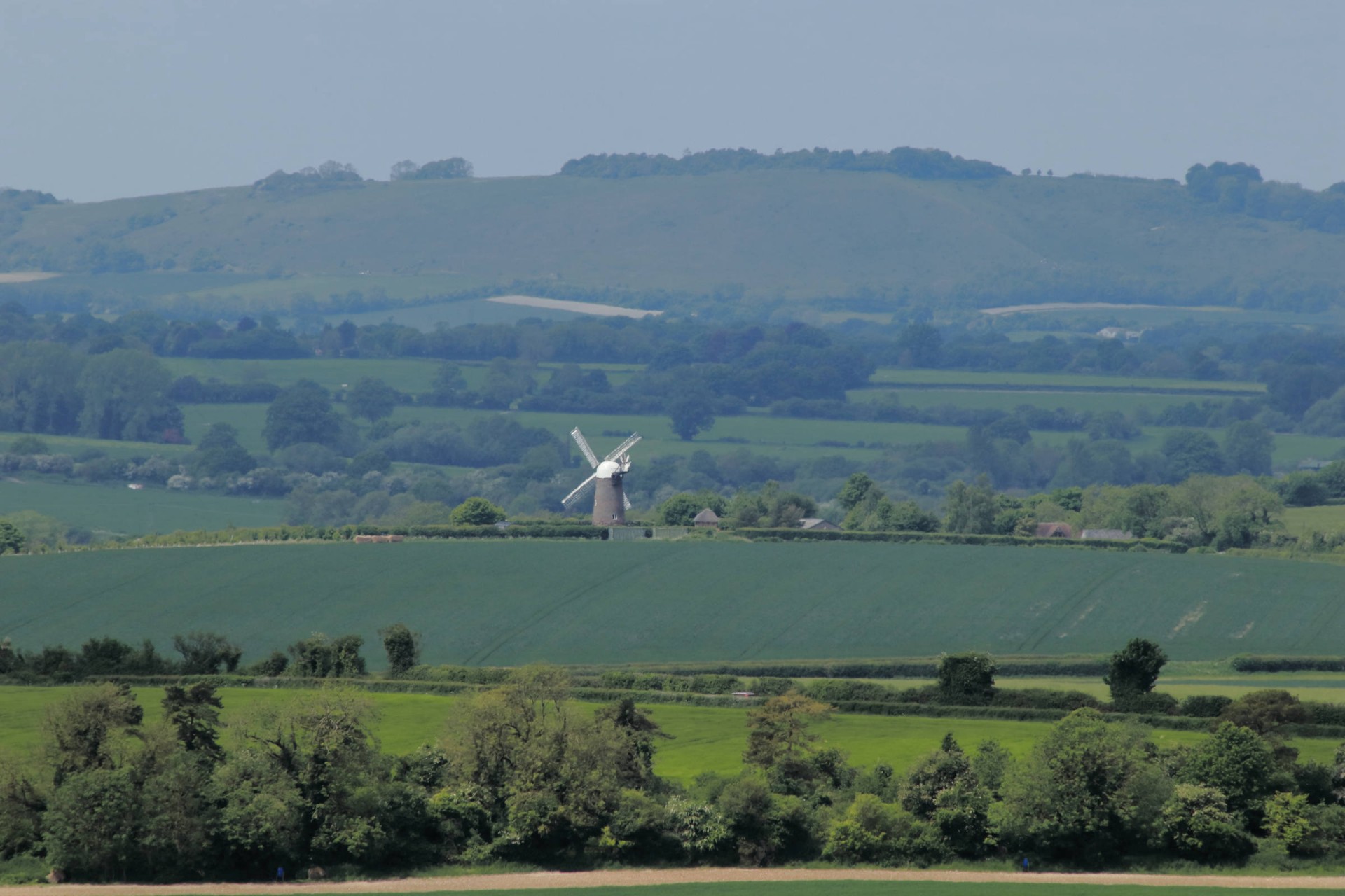
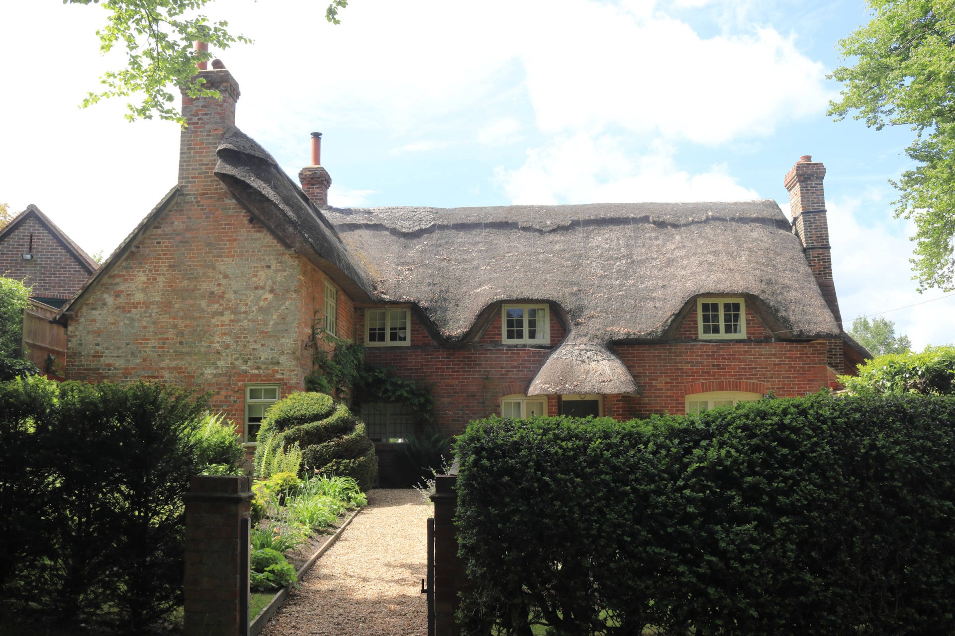
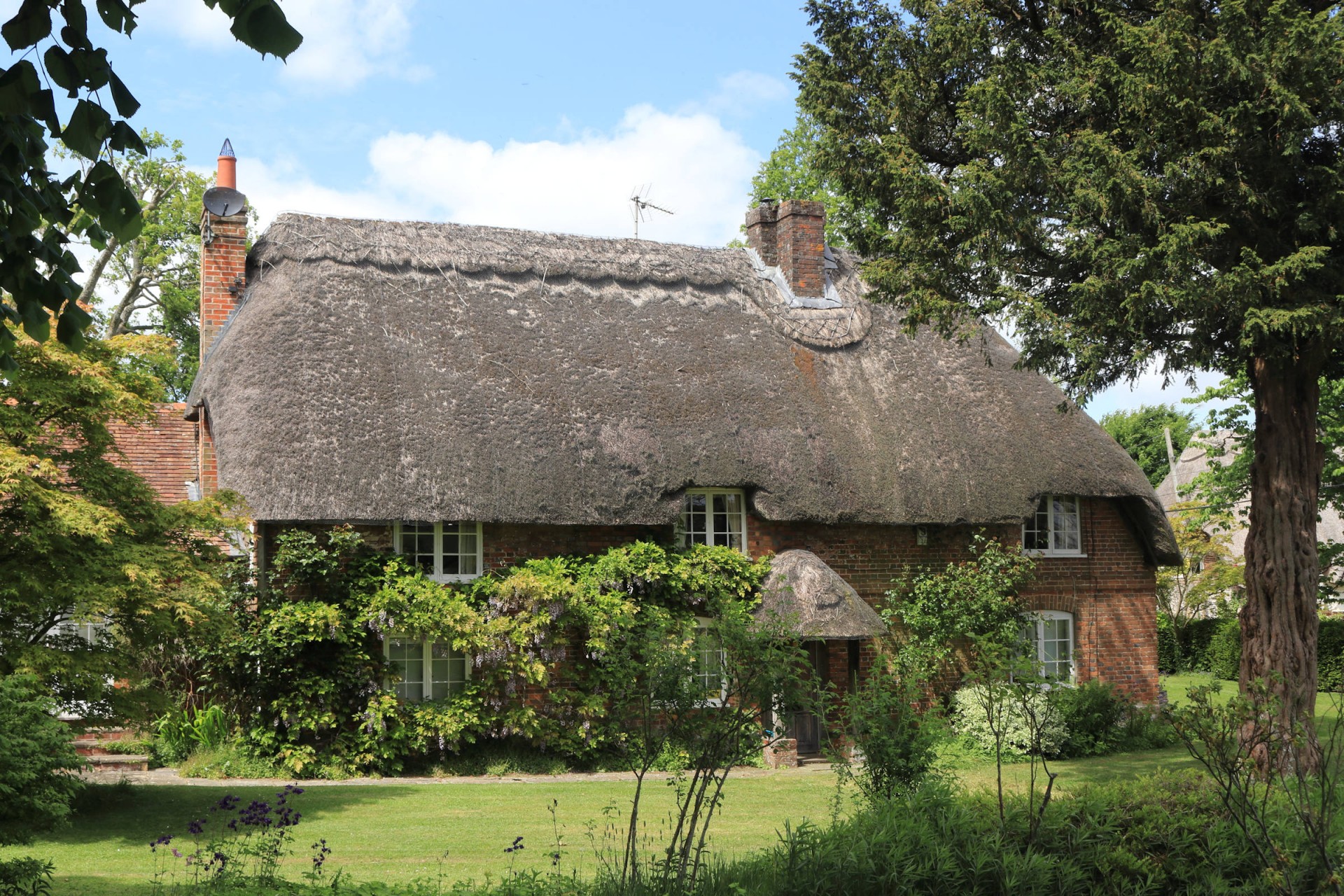
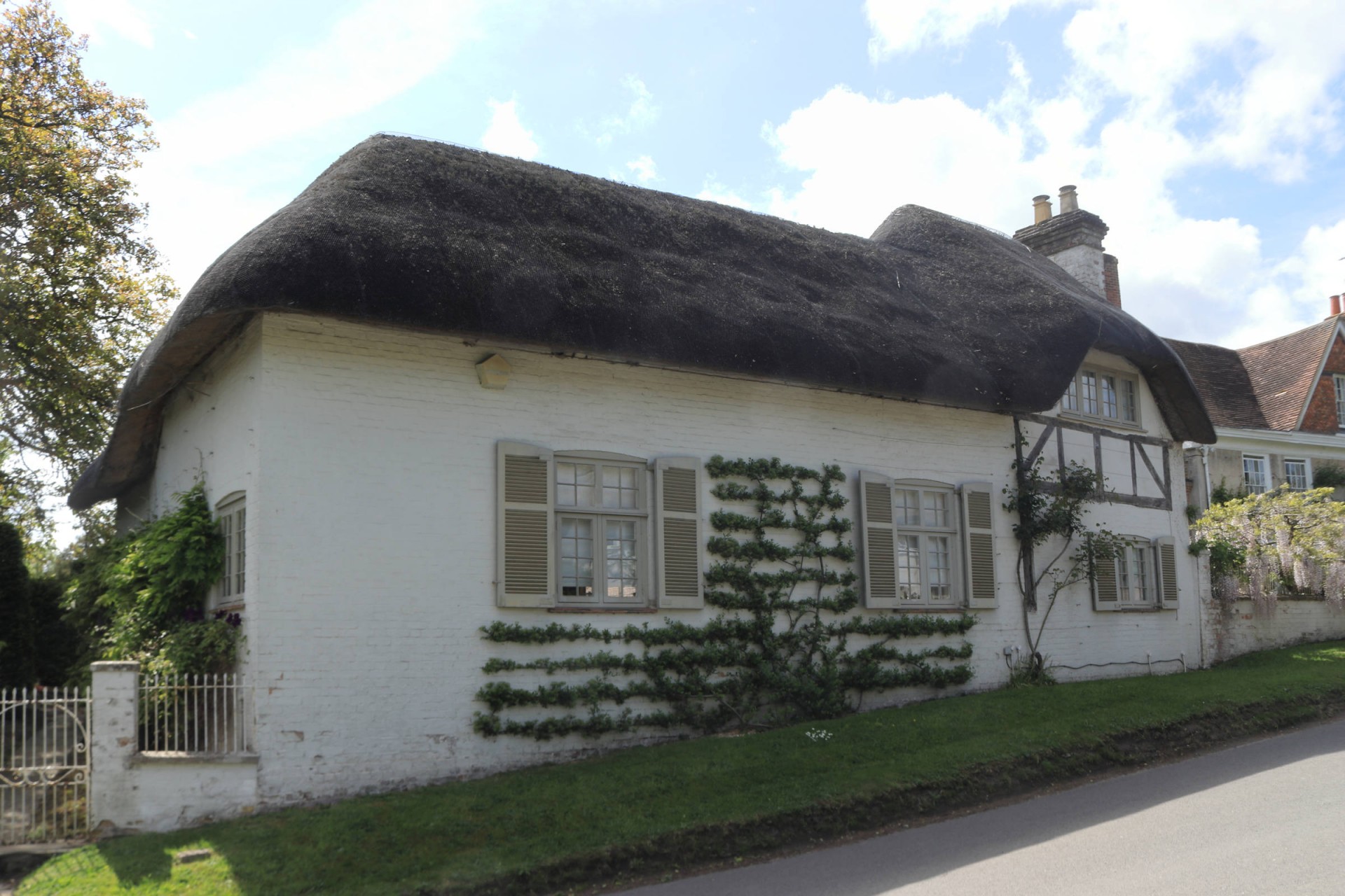
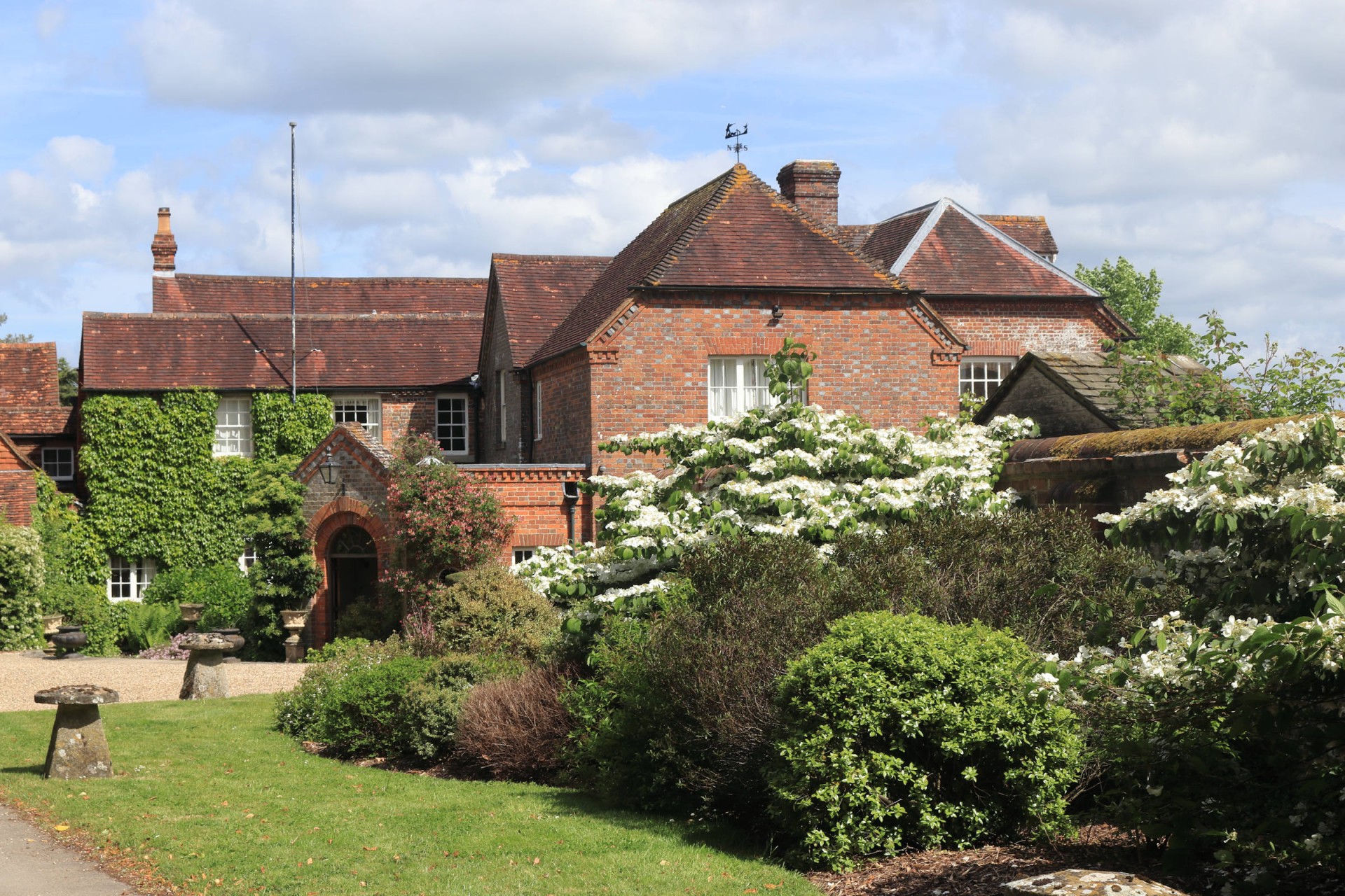
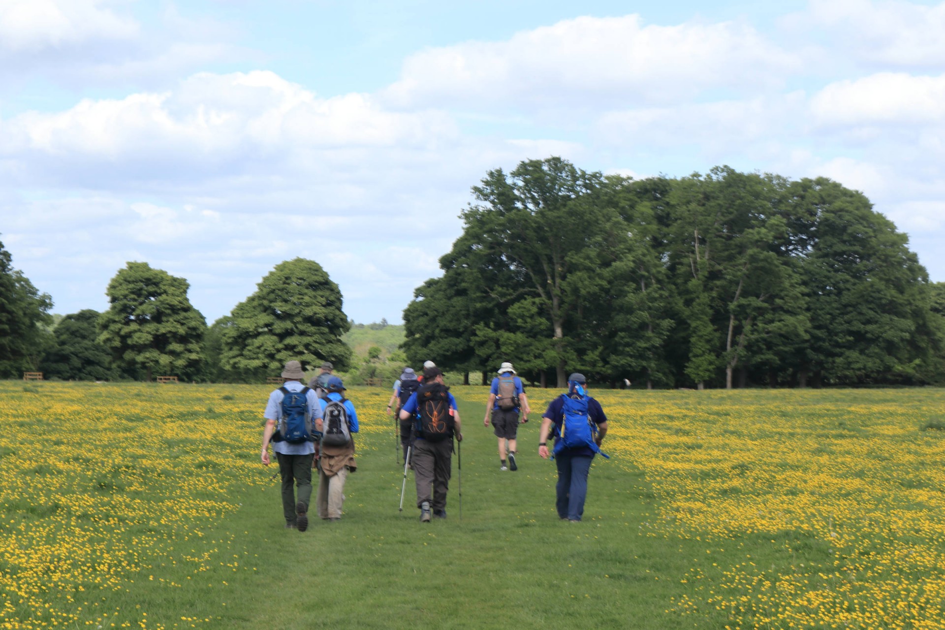
12 walkers, 21.4 miles - leader Gavin FullerEight walkers from London Group were joined by three from Wiltshire and one from Thames Valley as we ventured to Kintbury station for the first time since 2011. Bright weather accompanied the tunnel-like path from Kintbury village out towards the downs, which were reached by a relatively easy climb. Passing Walbury Hill, Berkshire's county top and at 974ft (297m), the highest point in South-East England elevenses were taken by a decidedly bracing Combe Gibbet, but the extensive views made up for the chilly gloom on top. Continuing westwards along the North Wessex Downs, the views stated fine to the descent, taken after a lunchtime repast on a grassy sward at the path's conclusion, the leader considering it better to have food before we went to Starveall Farm! The village of Shalbourne was reached by the most adventurous path of the day; this village and the next one of Ham having plenty of thatched cottages to admire.
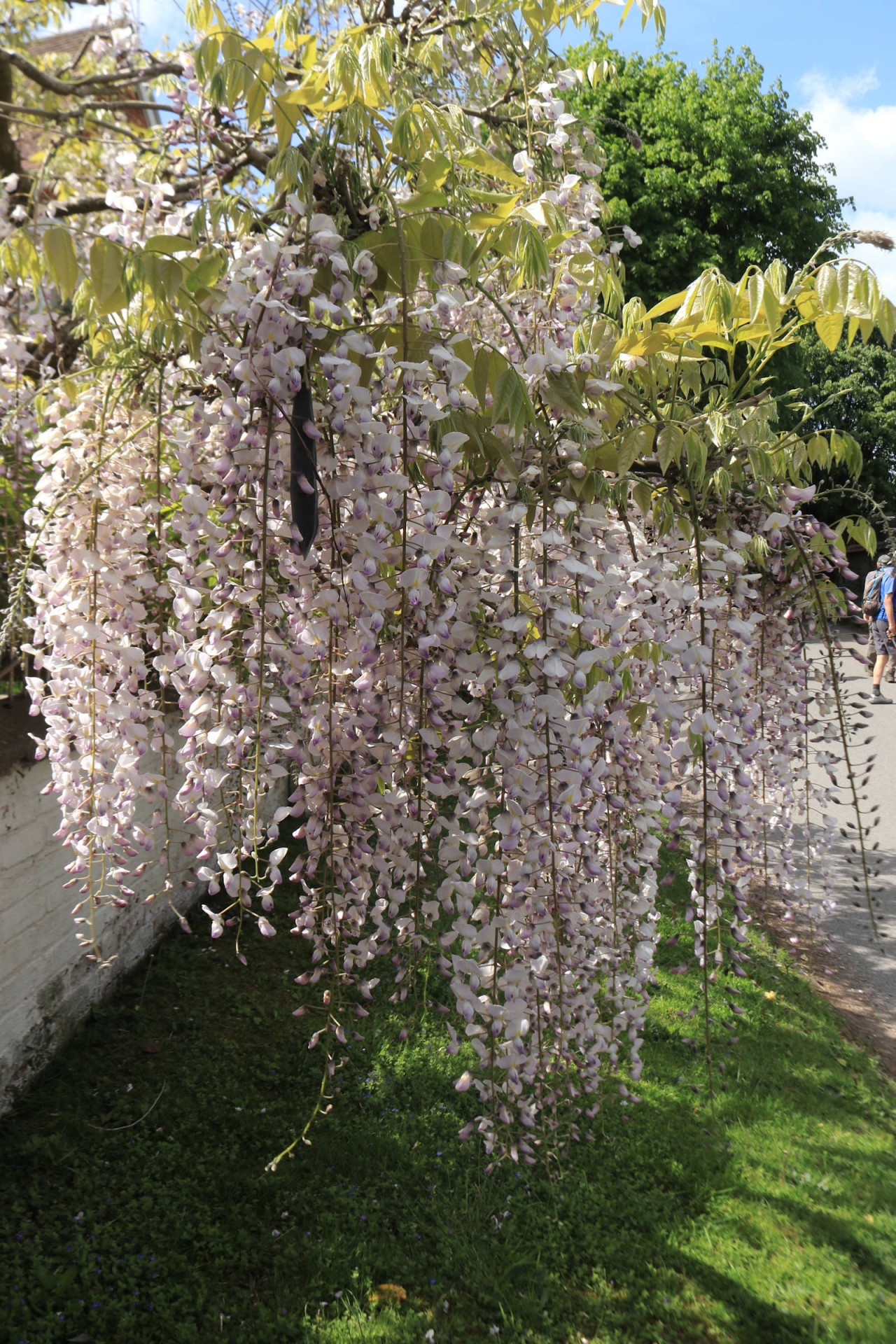
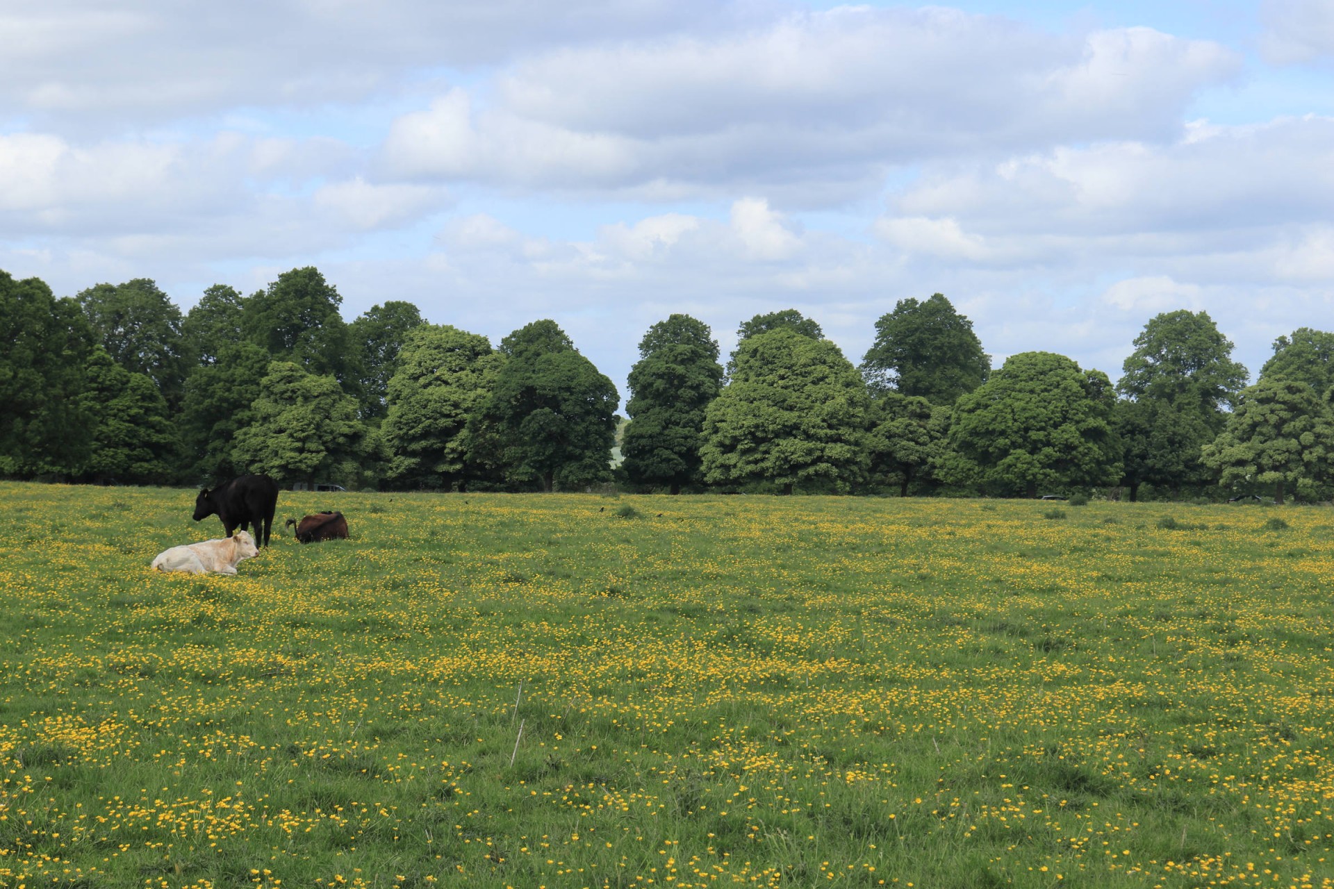
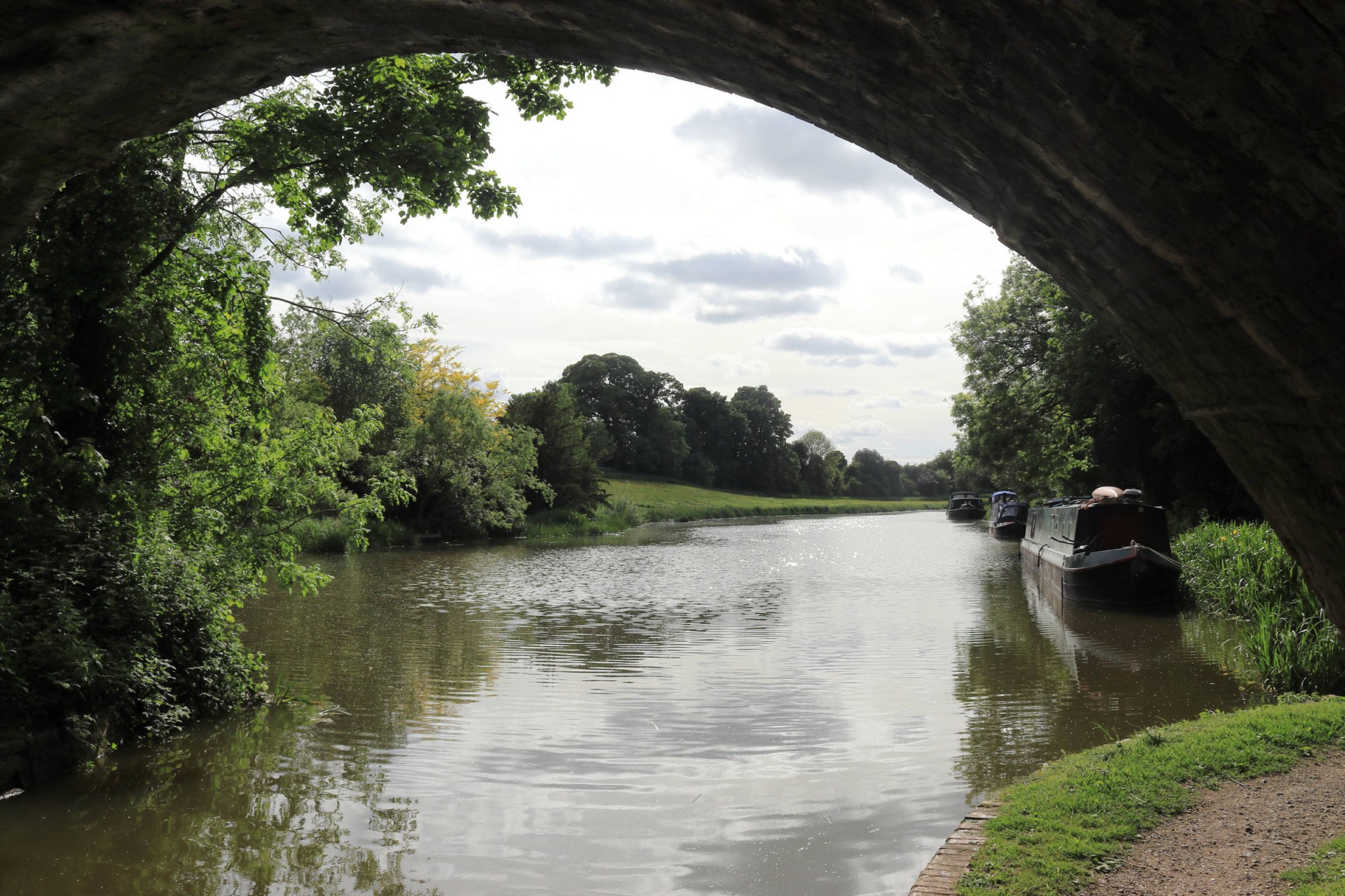
After a restorative drink in the Crown & Anchor in Ham (one of the Sunday Telegraph's recommended pubs for walkers in a 2021 article), it was on past wild flower meadows to Hungerford, passing a memorial to the tragic events of 1987 before exiting through a curious gate onto Hungerford Port Down swathed on buttercups, Fortunately the cows lying down didn't bring the weather this portends, and it was a pleasant sunny stroll along the Kennet & Avon Canal back to Kintbury, where the group had been so quick that there was time for another drink for some before catching the train back after an enjoyable day out.
Photographs by Gavin Fuller
Other Files
Download Walk ReportGPX
A GPX file of the above route may be downloaded by clicking the link below.
Note: GPX files of Group Walks are created by LDWA Group members, and may be downloaded only by other LDWA members. They should not be made available outside the LDWA, and are used at members' own risk.
Login to Download (Members Only)You can use the interactive controls to zoom in and out and to move around the map, or click on a path or a marker for more info. (interactive map help)
You can use the interactive controls to zoom in and out and to move around the map, or click on a path or a marker for more info. (interactive map help)
© OpenStreetMap contributors under Open Database Licence
Rights of way data from selected Local Authorities
Large scale digital mapping is provided by John Thorn
At high zoom levels the route is indicative only.
Gallery
Maps:
You can use the interactive controls to zoom in and out and to move around the map, or click on a marker for more info. (interactive map help)
© OpenStreetMap contributors under Open Database Licence.
Rights of way data from selected Local Authorities.
Large scale digital mapping is provided by John Thorn.


