


The Eastern Borough Tops
Sat 12th Feb 2022
Walk Details:
An urban start to take in the Borough Top of Barking and Dagenham eventually gets out into countryside as the walk heads to the tops of the boroughs of Havering, Redbridge and Waltham Forest before ending at Chingford station
Entry Details:
Walk Report
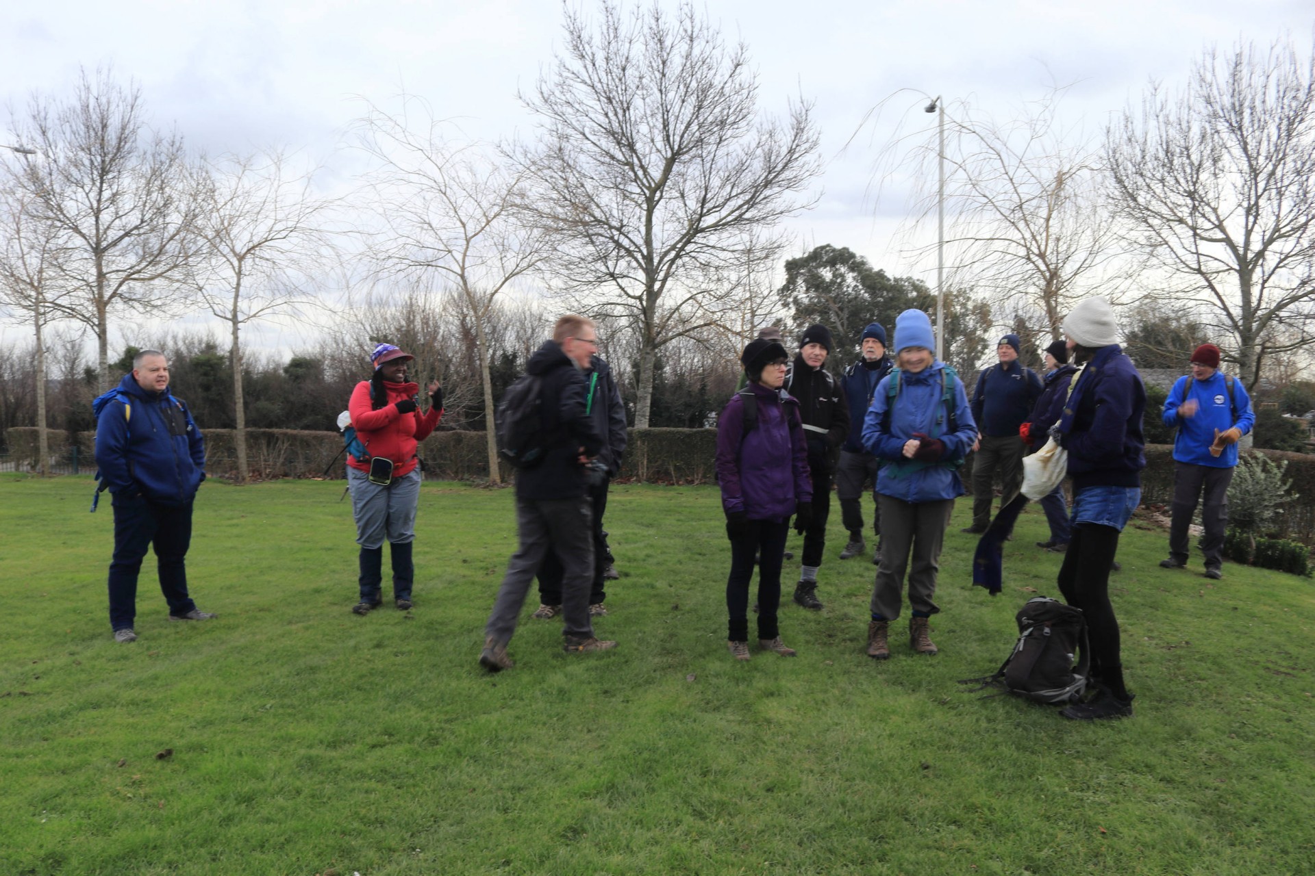
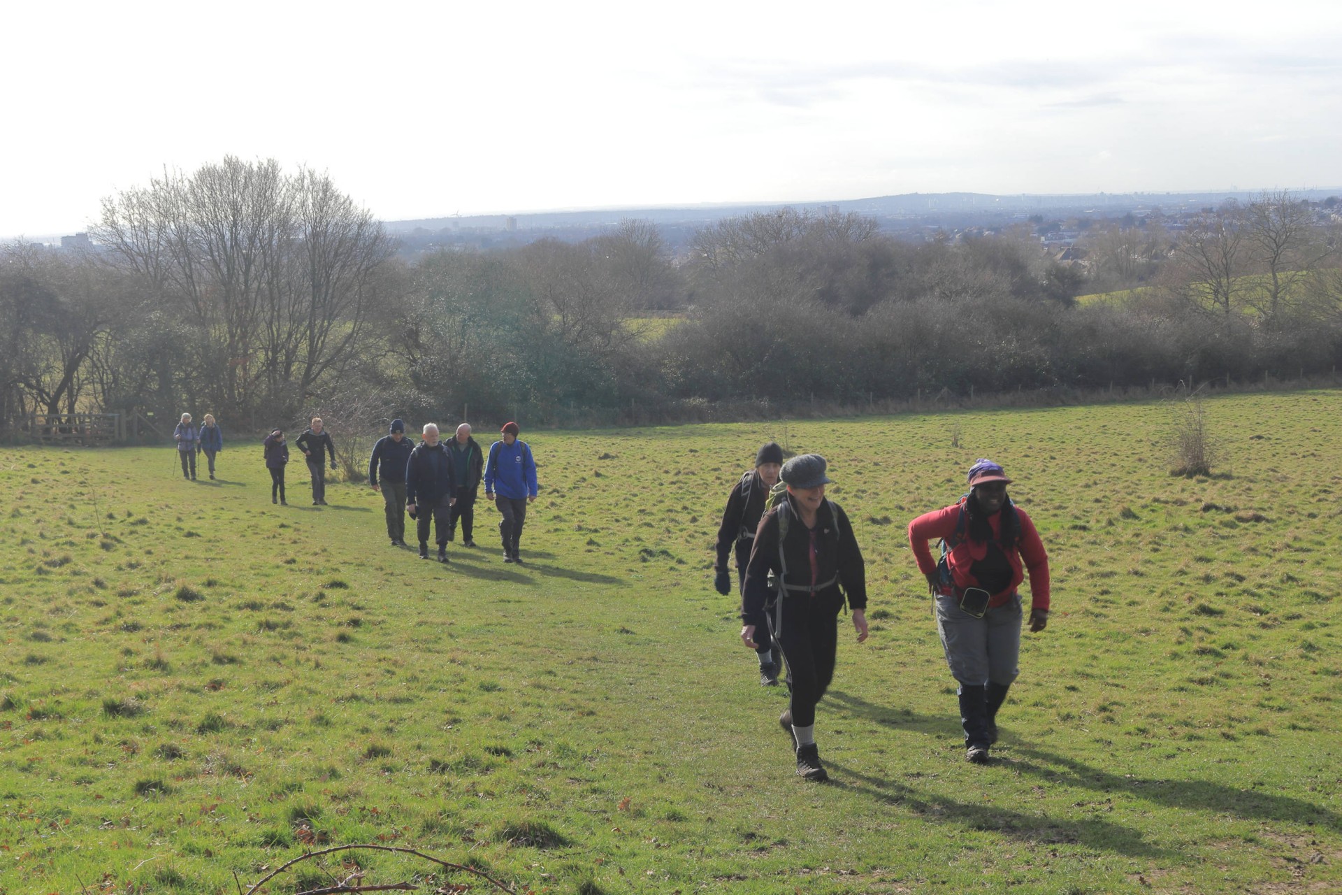
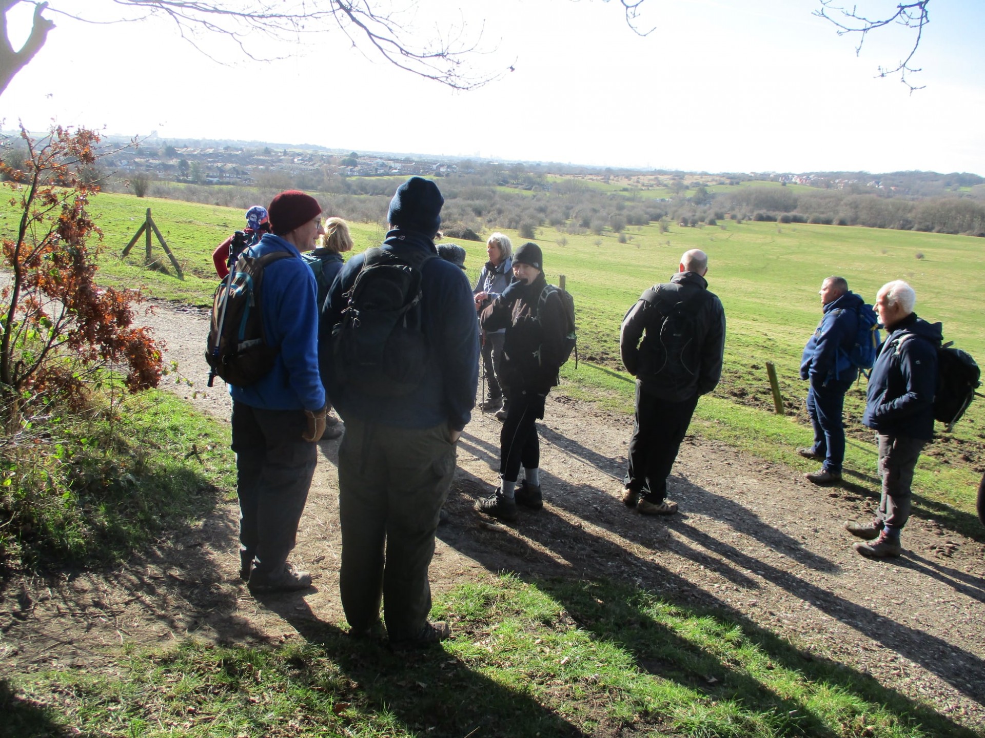
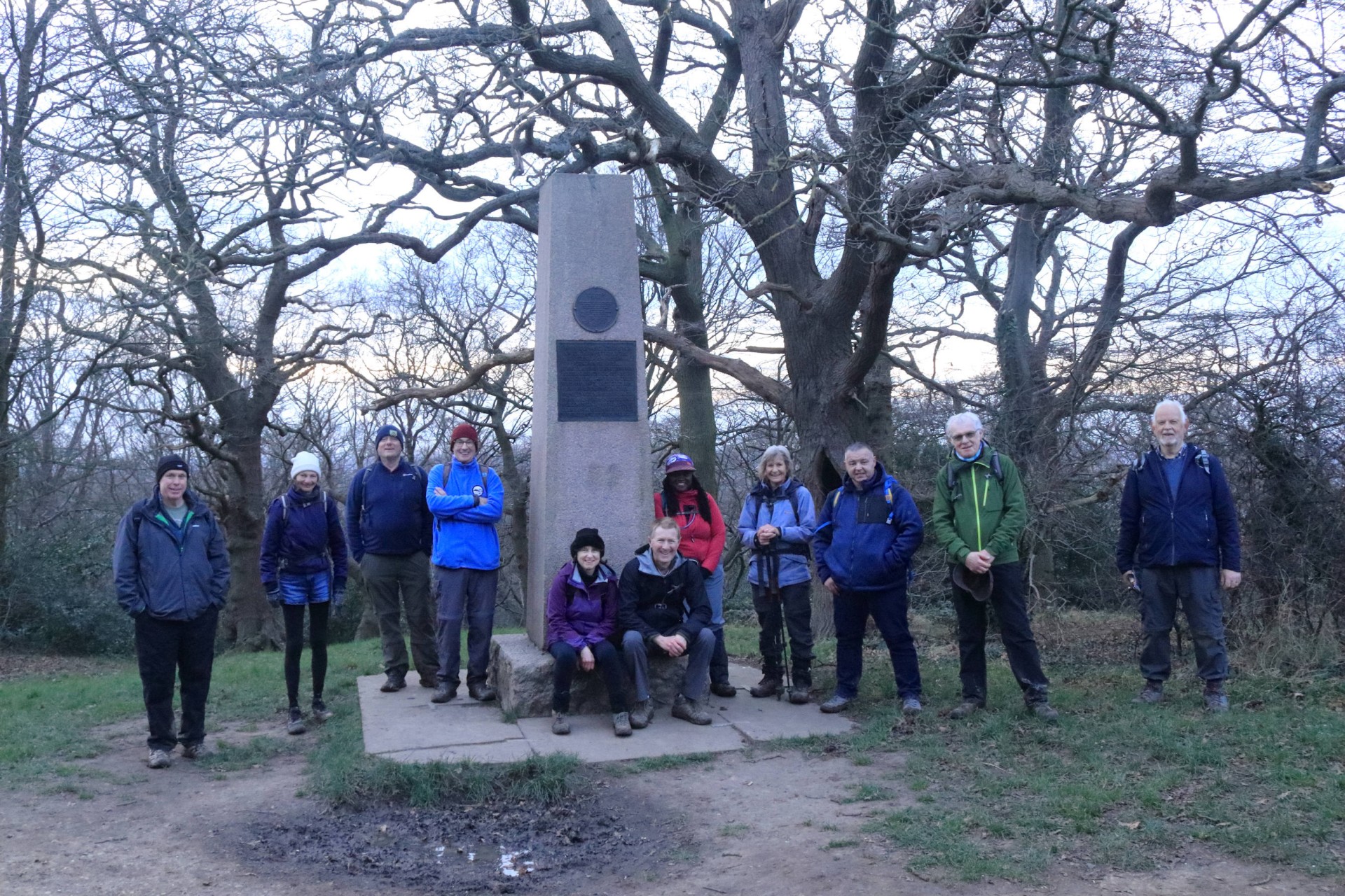
The Eastern Borough Tops, Saturday 12th February 202216 walkers, 20.5 miles - leader Gavin Fuller
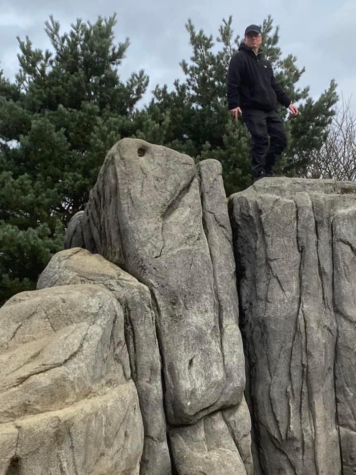
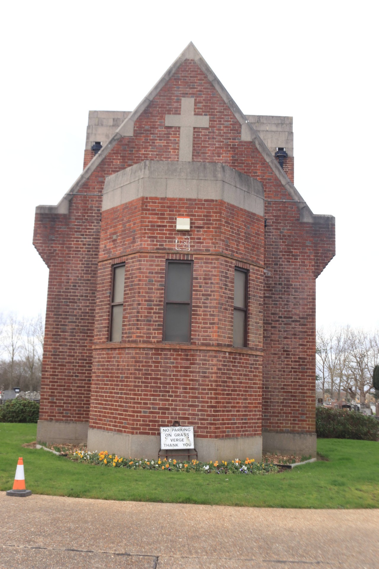
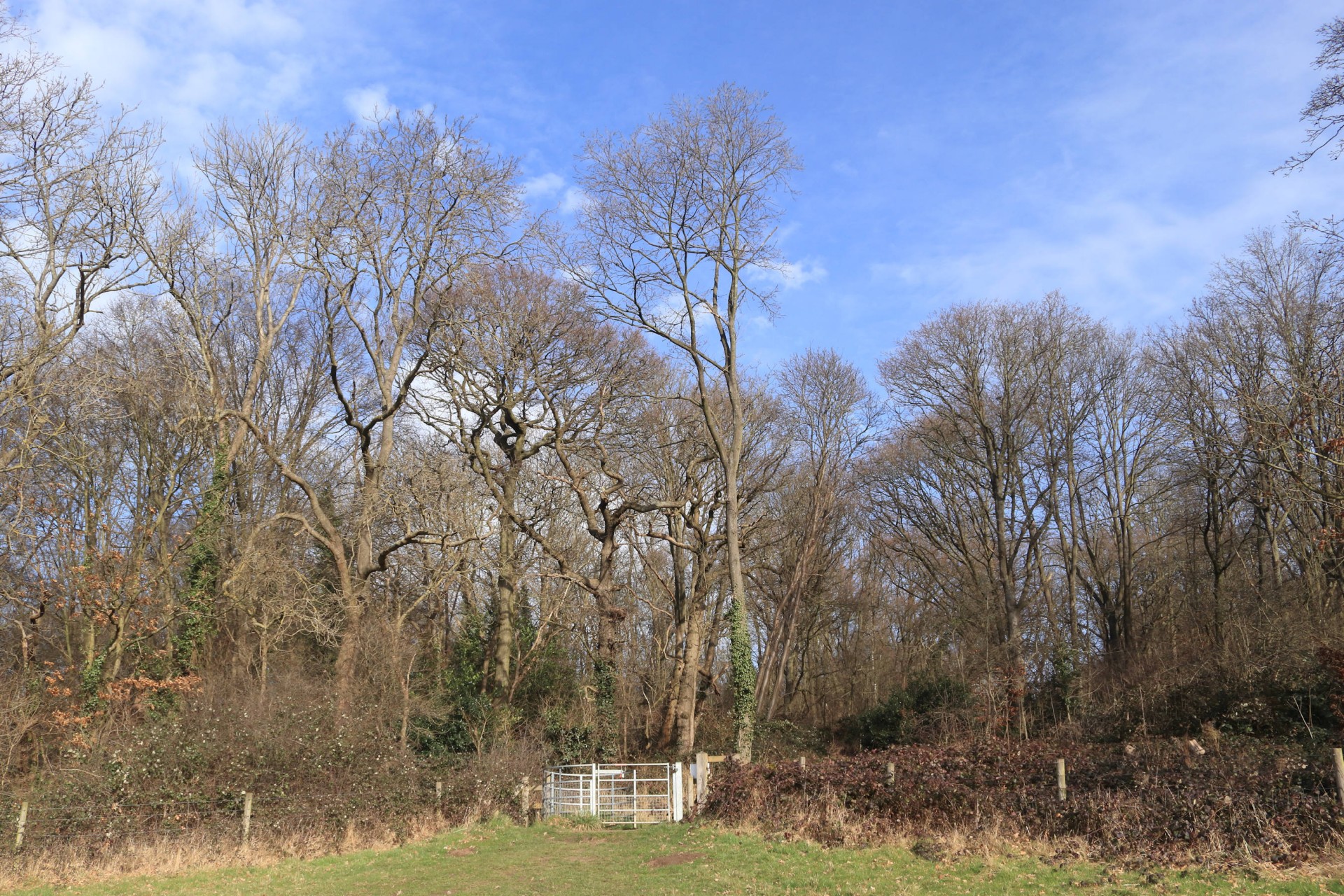
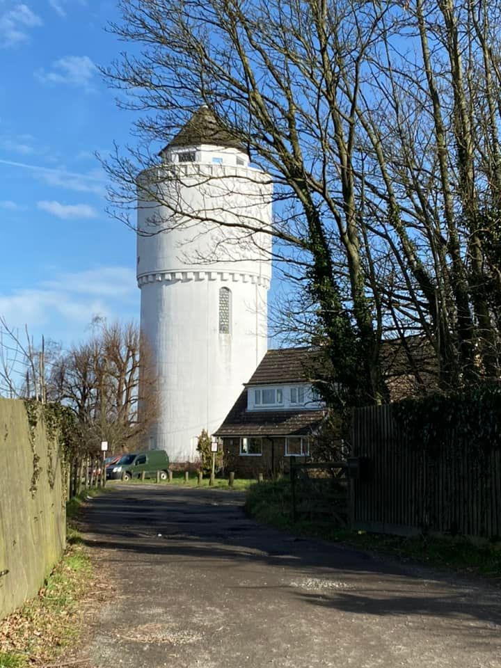
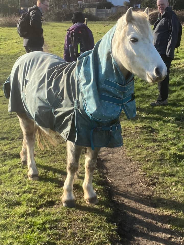
Engineering works which weren't advertised when the walk was put on meant that the start point was changed from Romford to Fairlop, whilst an overnight tube strike fortunately didn't have much impact on getting to the start, where 14 walkers met at Fairlop for the next instalment of the Borough Tops walk. As it happened the new route to the first top was better than the original one planned, so all was good. After passing through Fairlop Waters, where the leader kept up the tradition of somebody going to the top of Mount Fairlop as it was passed, it was on to the first top of the day at Chadwell Heath Cemetery, which believe it or not contains the highest point of the borough of Barking and Dagenham, although the presence of public toilets in the cemetery appeared to elicit more excitement than the top itself.
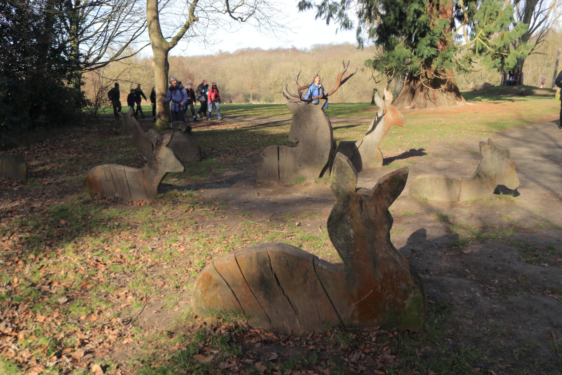
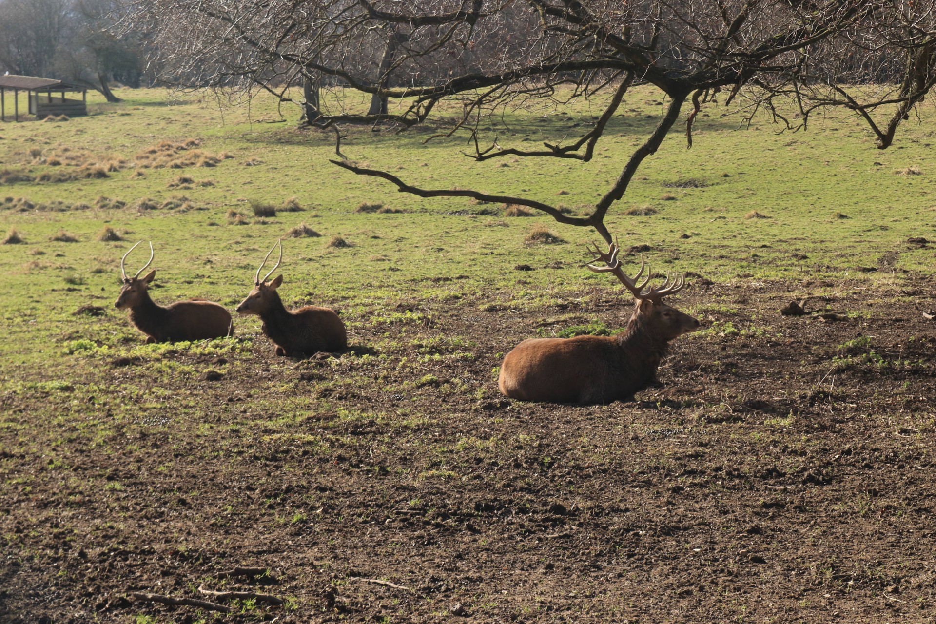
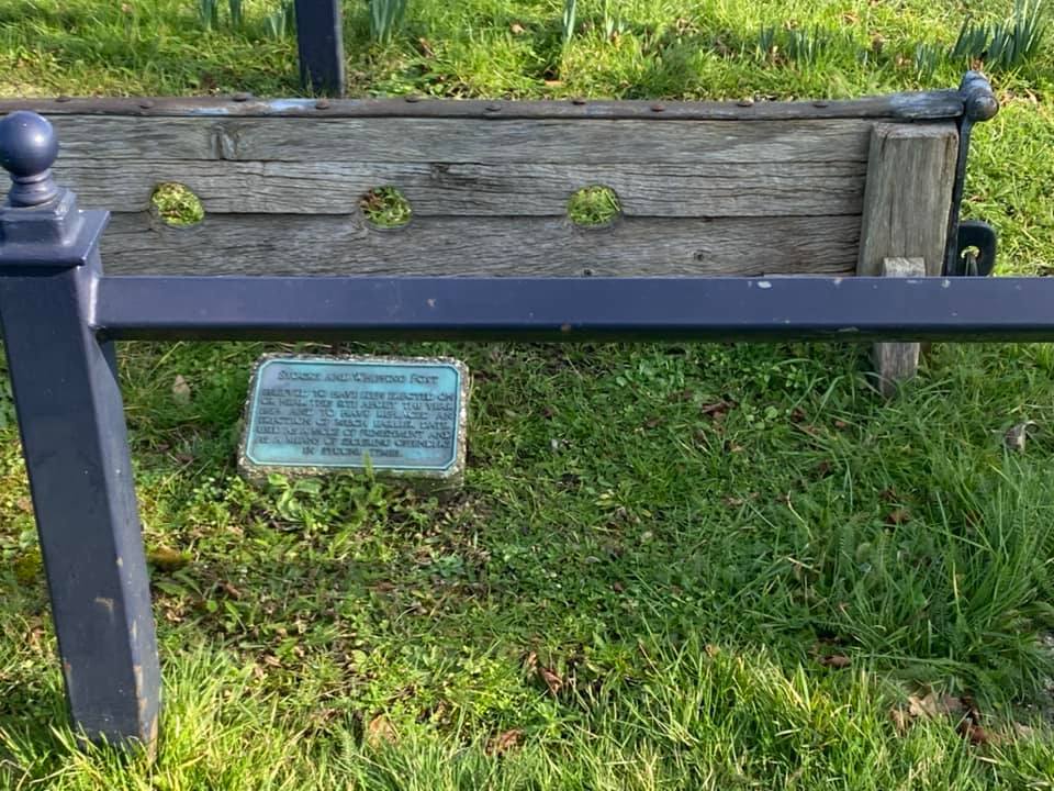
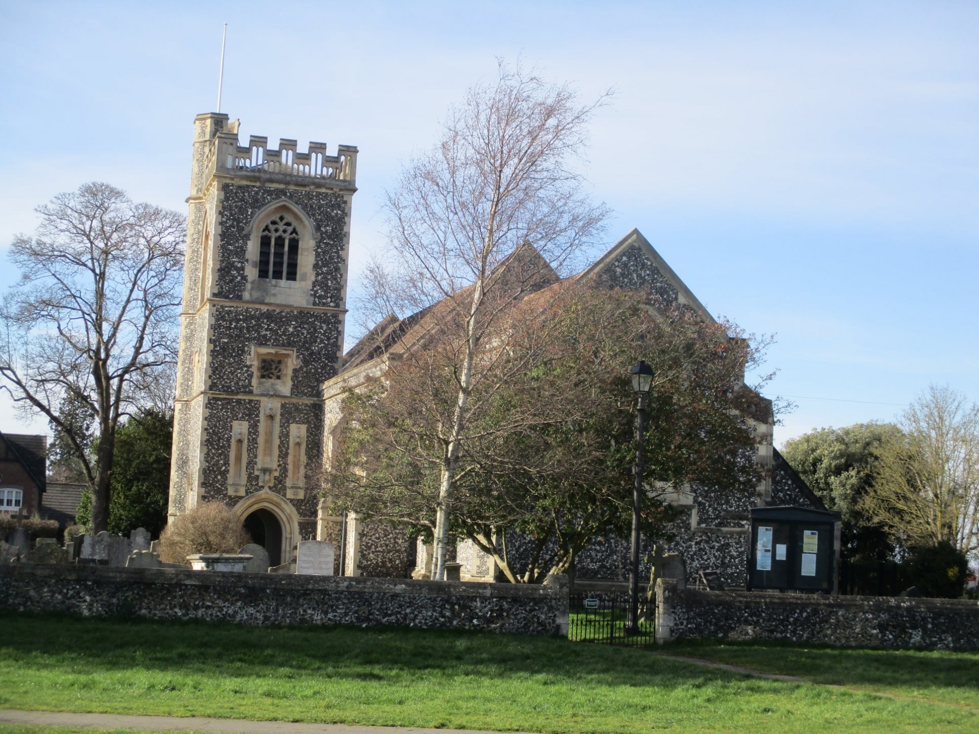
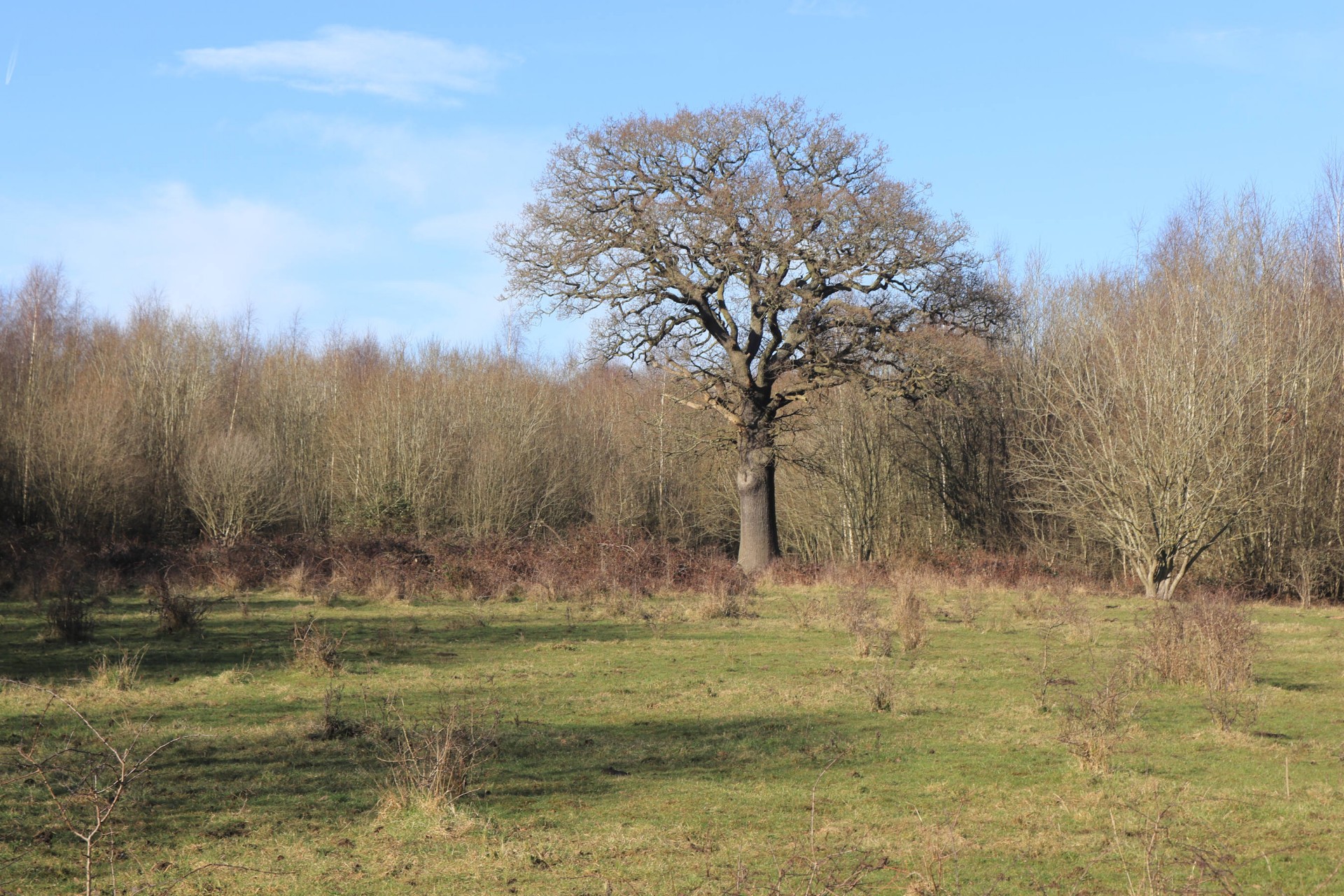
By this time two latecomers who had been caught out by the Central Line splitting into two after Leytonstone and going up the wrong branch had joined the group, so it was 16 who trekked through the suburbs of Romford to Rise Hill and Bedfords Park; the latter containing a hill which didn't count as a top although did have decent views. After saying hello to the deer in Bedfords Park it was on to Havering-atte-Bower and the second top of the day (Havering's) on the village green.
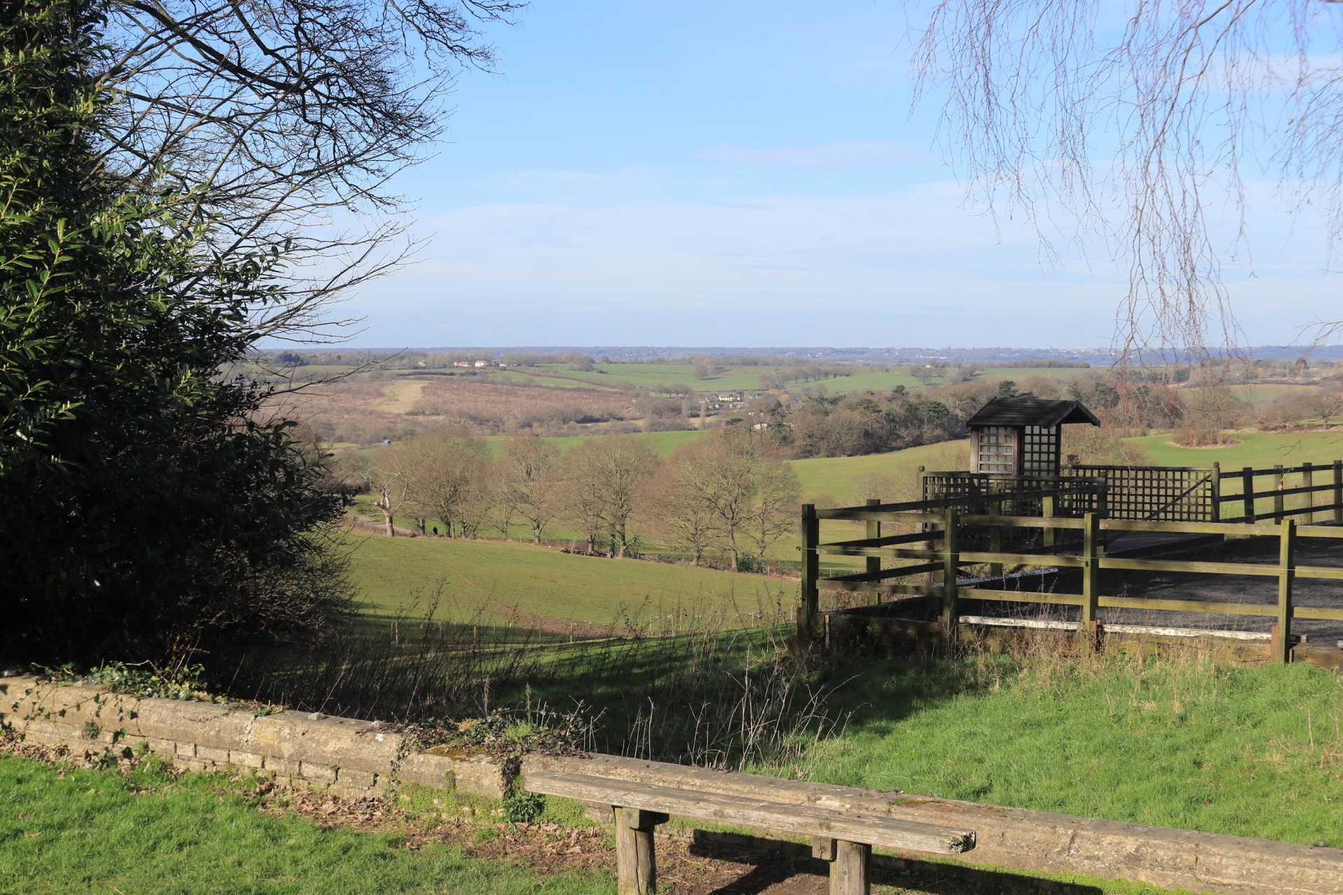
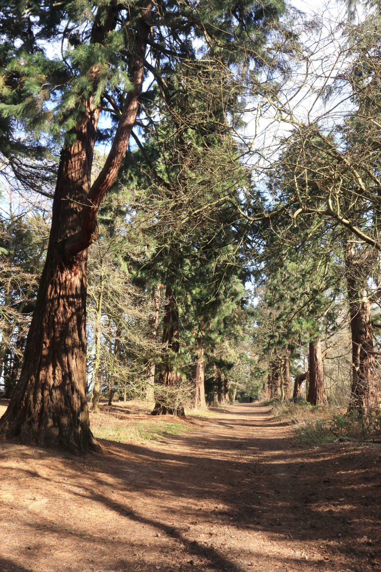
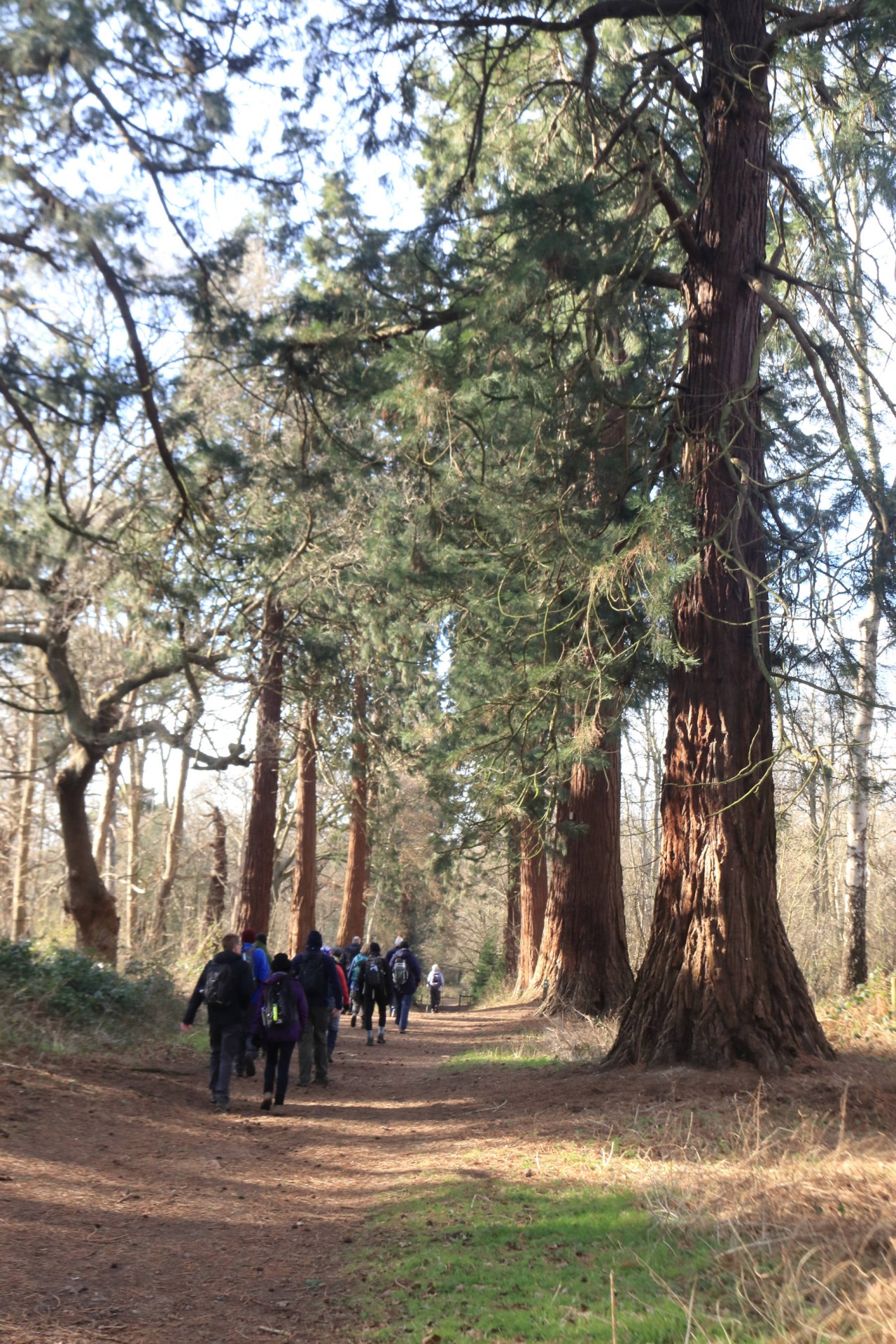
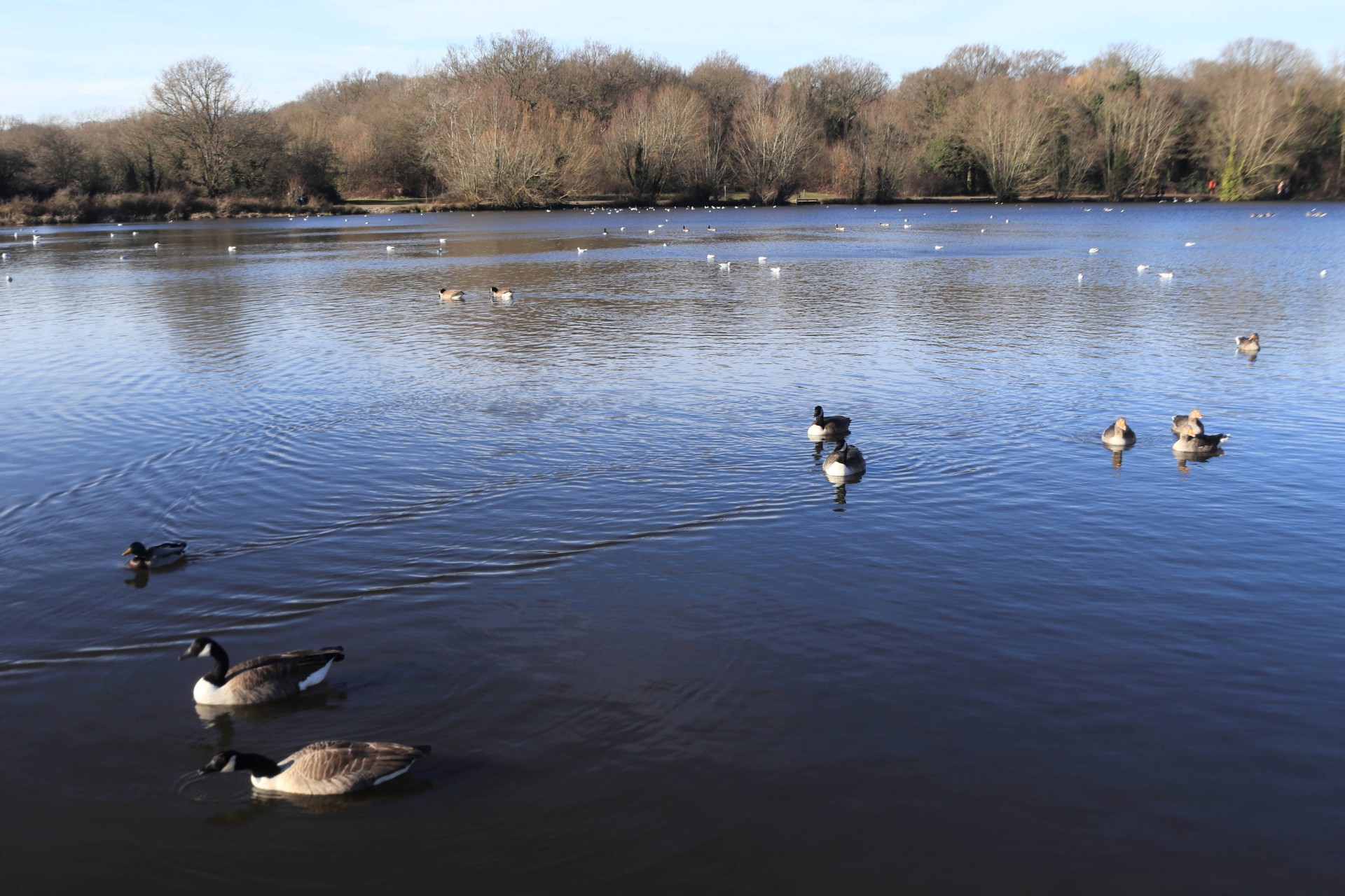
Following the London Loop through Havering Country Park, with its Wellingtonia Avenue looking splendid in the sunshine, it was on to Hainault Forest Country Park, which contained the third top of the day, Cabin Hill, the highest point in Redbridge. The leader was then prevailed upon by one member of the party to descend to the cafe and toilets for the lunch stop, although service was so slow in the cafe that the one member of the group who got something there finally received it as everybody else was ready to leave, and discovered what he'd ordered wasn't worth the wait!
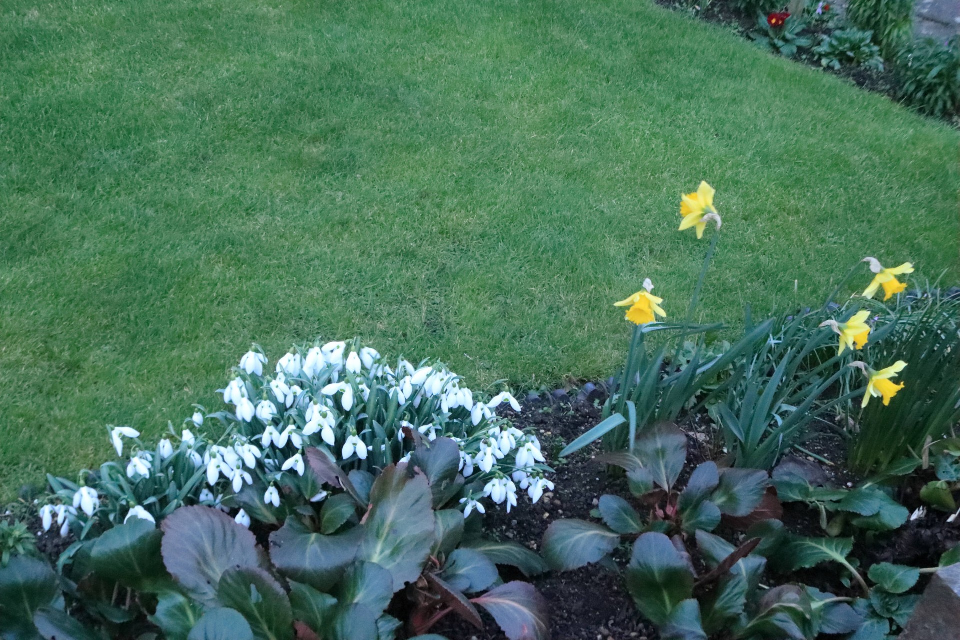
After temporarily being deposed by one of the group with better local knowledge in the country park, once out of there the leader was able to reassert his position, although as most of the rest of the walk followed the London Loop there wasn't much for him to do! At Buckhurst Hill four members of the group found the local tube station more alluring than the final top and departed, but the rest continued along the southern edge of Epping Forest to Chingford and Waltham Forest's top at Pole Hill, easily one of London's better borough tops. Then it was back through the streets of Chingford, with snowdrops and daffodils already out, to the station, where as chance would have it a train was ready to depart, meaning that with one unfortunate exception everybody had no wait to head for home.
Yet again for the leader despite doing largely the same route as the recce his trackers managed to record a longer walk than before, so it ended up being 20.5 miles (32.8km) with 979ft (298m) of ascent for those who did the full route.
Photographs by Ian Watson, Gavin Fuller and Stephen Wills
Other Files
Download Walk ReportGPX
A GPX file of the above route may be downloaded by clicking the link below.
Note: GPX files of Group Walks are created by LDWA Group members, and may be downloaded only by other LDWA members. They should not be made available outside the LDWA, and are used at members' own risk.
Login to Download (Members Only)You can use the interactive controls to zoom in and out and to move around the map, or click on a path or a marker for more info. (interactive map help)
You can use the interactive controls to zoom in and out and to move around the map, or click on a path or a marker for more info. (interactive map help)
© OpenStreetMap contributors under Open Database Licence
Rights of way data from selected Local Authorities
Large scale digital mapping is provided by John Thorn
At high zoom levels the route is indicative only.
Gallery


Maps:
You can use the interactive controls to zoom in and out and to move around the map, or click on a marker for more info. (interactive map help)
© OpenStreetMap contributors under Open Database Licence.
Rights of way data from selected Local Authorities.
Large scale digital mapping is provided by John Thorn.


