


Circular south of Haslemere
Sat 29th Jan 2022
Walk Details:
Using Sussex Border Path, New Lipchis Way and Serpent Trail, then Lurgashall and Northchapel
Entry Details:
Walk Report
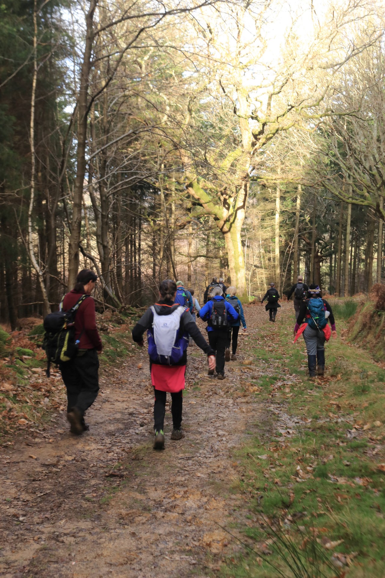
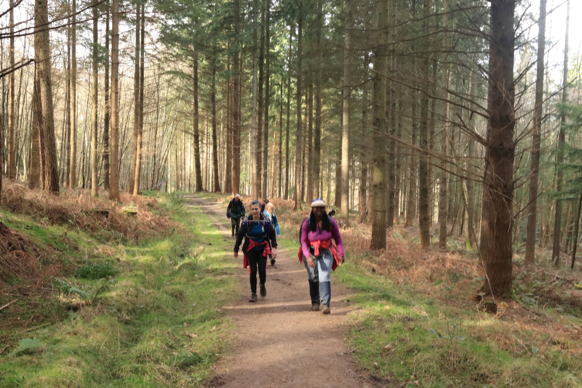
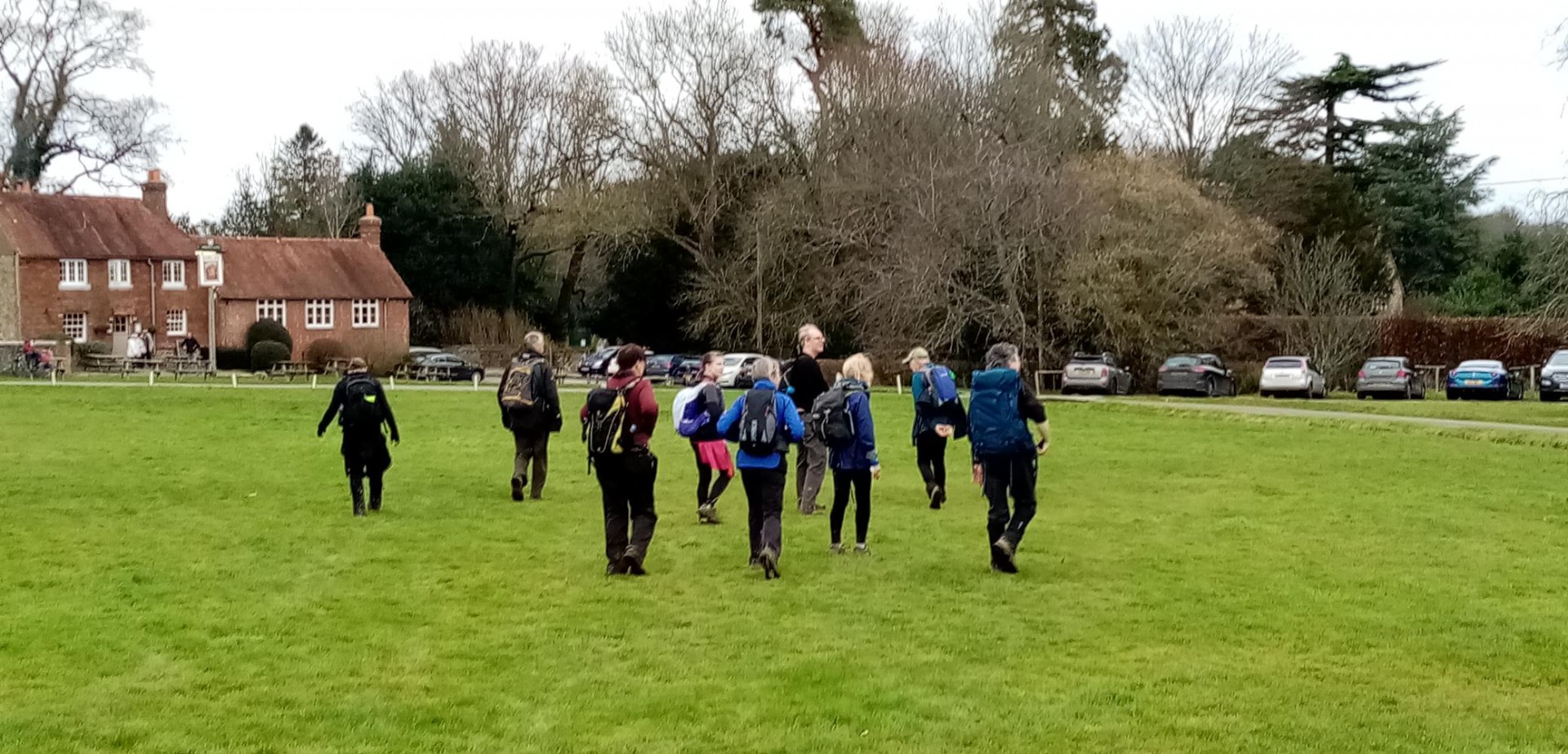
Circular South of Haslemere, Saturday 29th January 202212 walkers, 20.2 miles - leader Nigel Heys
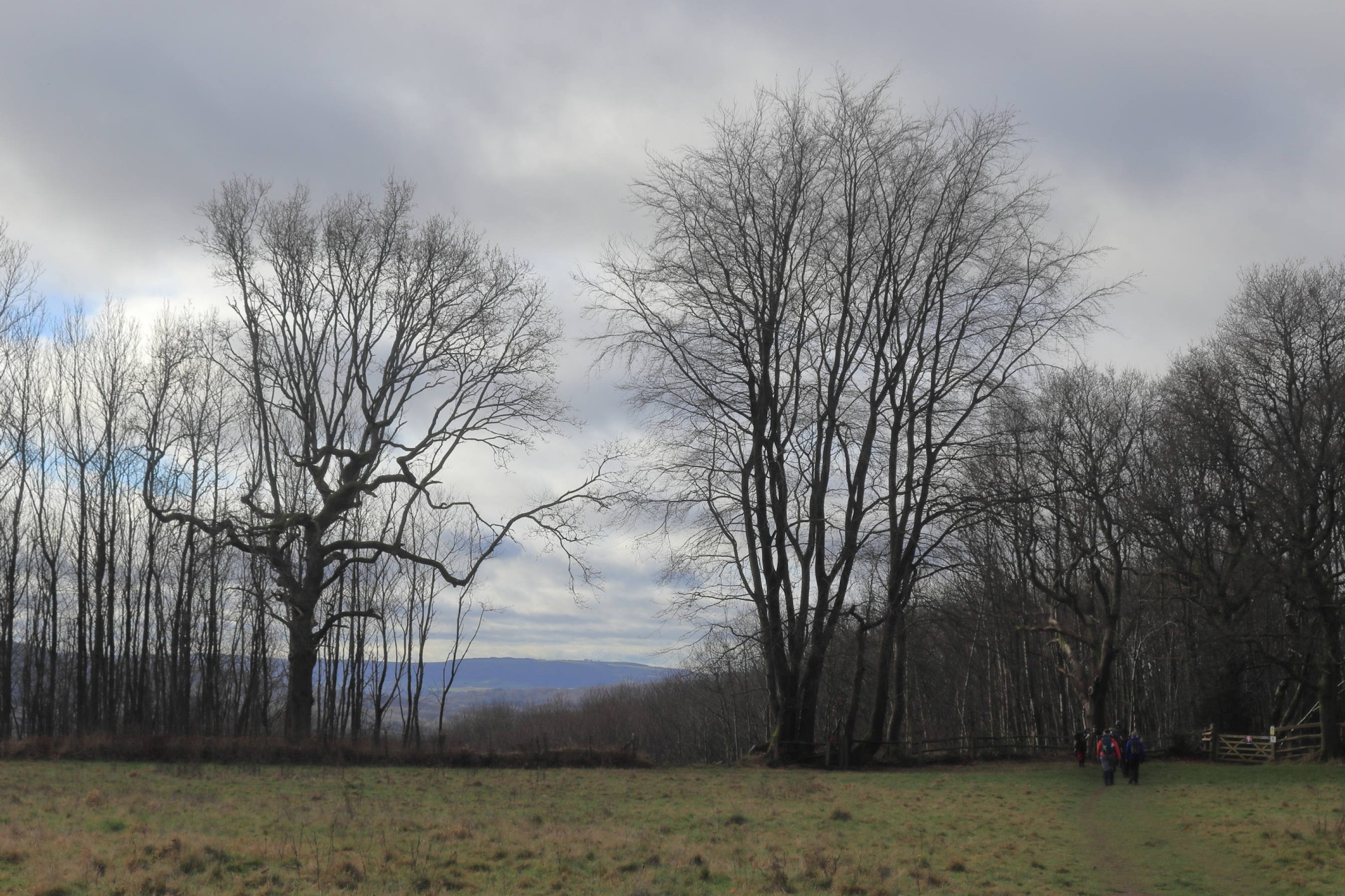
Twelve people started from Haslemere Station on a mild late January day. They climbed steeply up to Marley Common and joined the Serpent Trail before descending to Linchmere Marsh which was actually one of the less muddy parts of the walk. They had a drinks break upon joining the New Lipchis Way. This was followed for a time before cutting across to Henley and rejoining the Serpent Trail. The picnic lunch was had sitting on mossy logs on Bexleyhill Common.
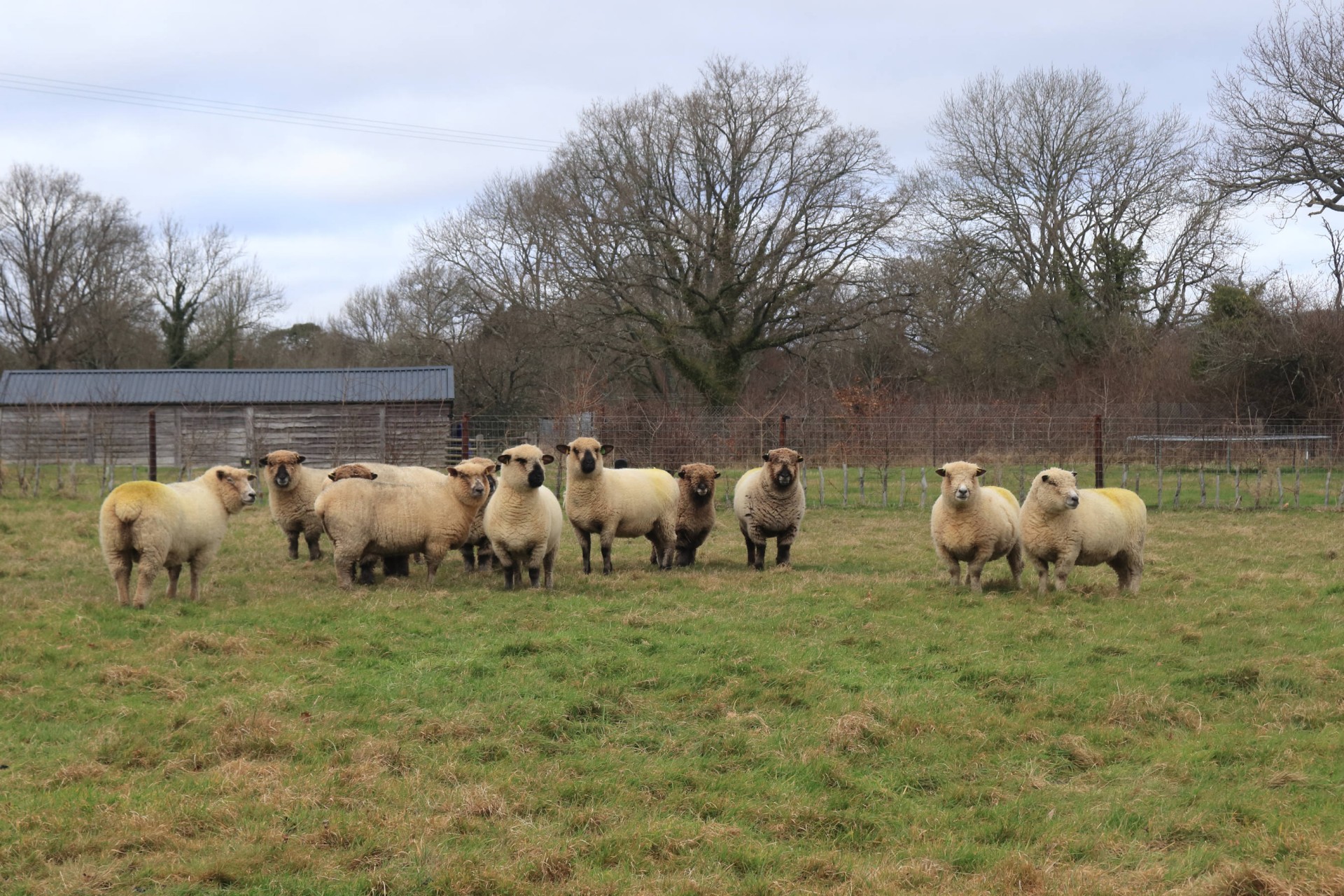
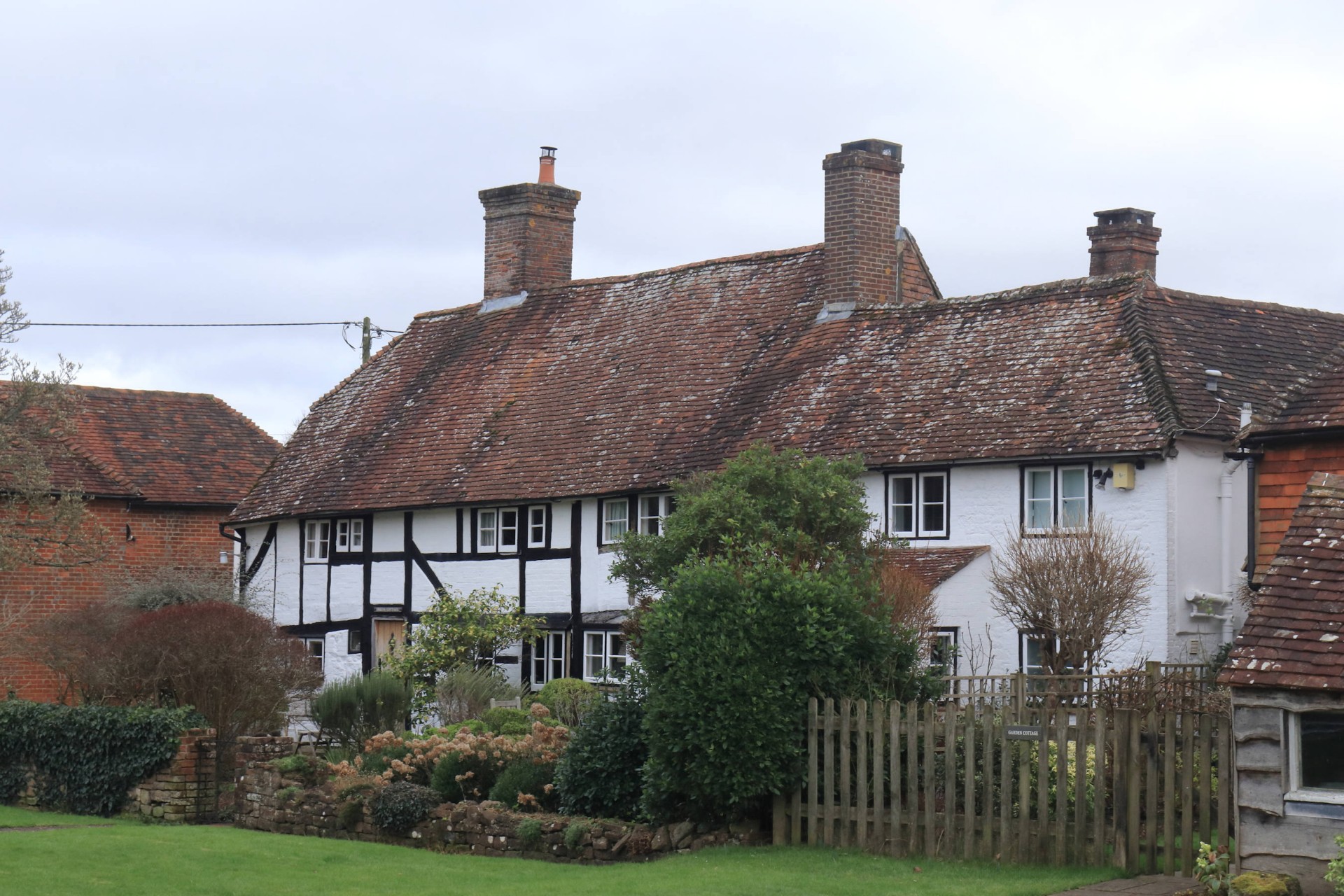
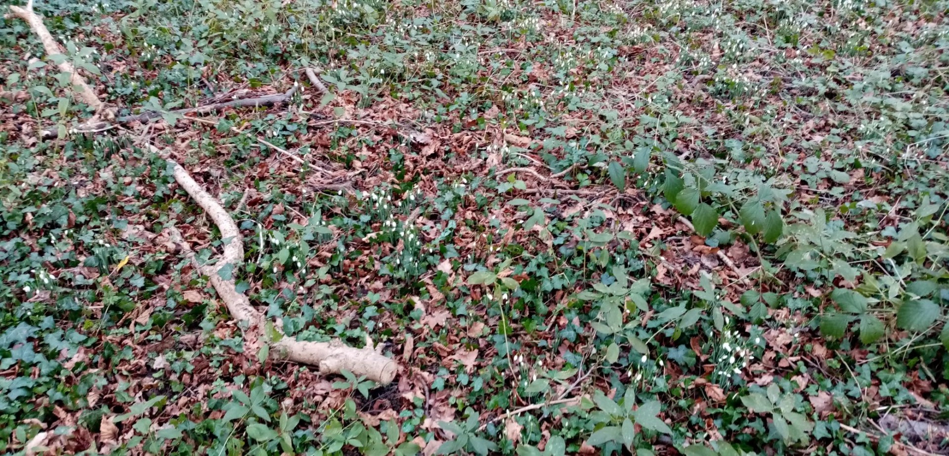
After lunch they continued past the Mill Pond to Lurgashall. The route back to Haslemere touched Northchapel, then turned towards Black Down, viewing the snowdrops in Wateredge Copse.
The twelve walked over the slopes of Black Down rejoining the Serpent Trail for the descent to Haslemere.
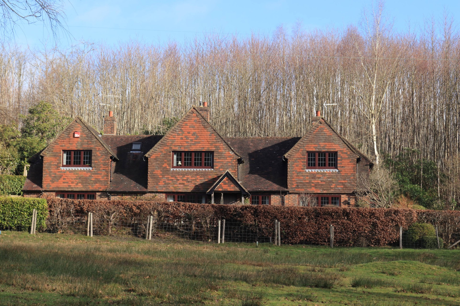
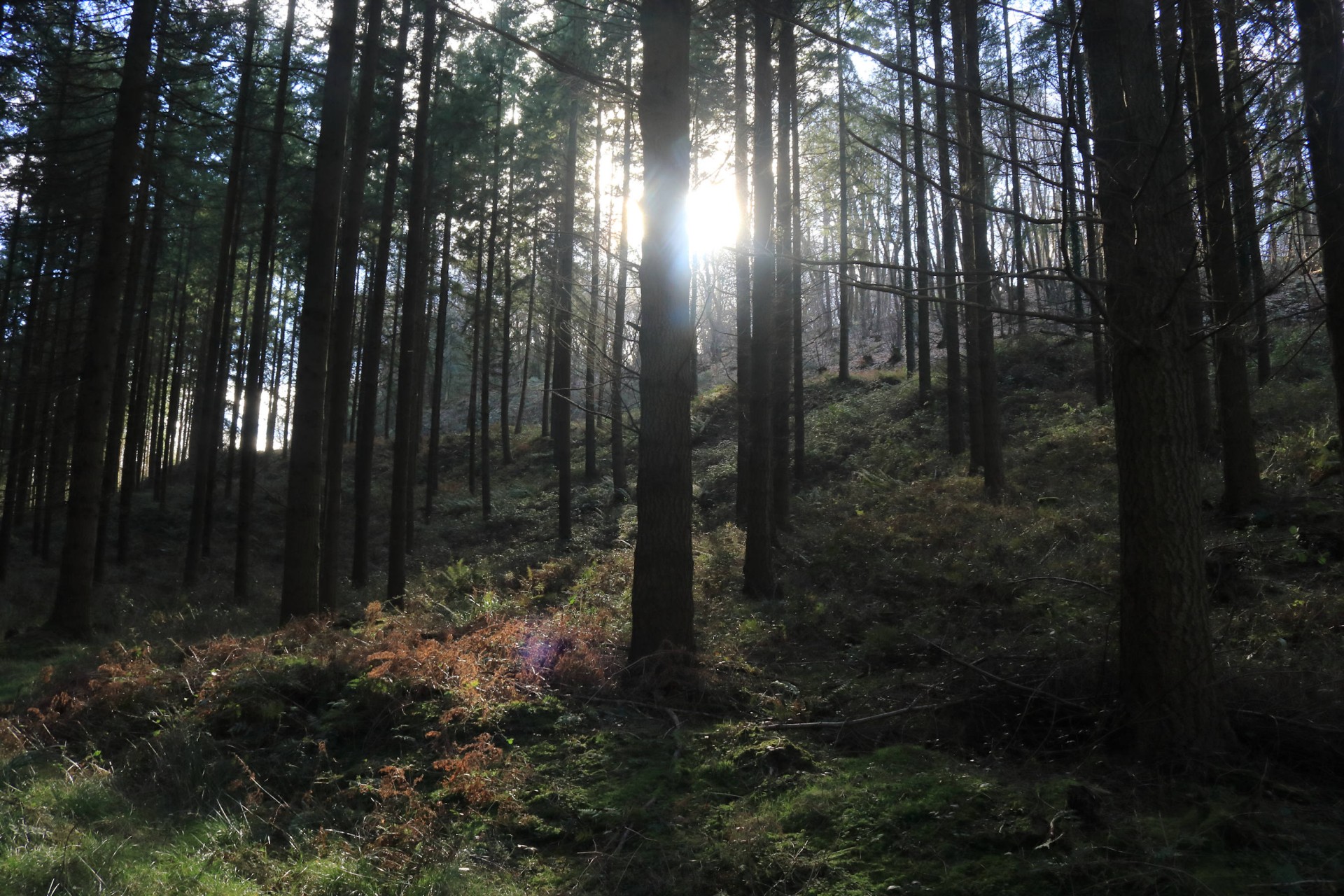
Photographs by Gavin Fuller and Nigel Heys
Other Files
Download Walk ReportGPX
A GPX file of the above route may be downloaded by clicking the link below.
Note: GPX files of Group Walks are created by LDWA Group members, and may be downloaded only by other LDWA members. They should not be made available outside the LDWA, and are used at members' own risk.
Login to Download (Members Only)You can use the interactive controls to zoom in and out and to move around the map, or click on a path or a marker for more info. (interactive map help)
You can use the interactive controls to zoom in and out and to move around the map, or click on a path or a marker for more info. (interactive map help)
© OpenStreetMap contributors under Open Database Licence
Rights of way data from selected Local Authorities
Large scale digital mapping is provided by John Thorn
At high zoom levels the route is indicative only.
Gallery
Maps:
You can use the interactive controls to zoom in and out and to move around the map, or click on a marker for more info. (interactive map help)
© OpenStreetMap contributors under Open Database Licence.
Rights of way data from selected Local Authorities.
Large scale digital mapping is provided by John Thorn.


