


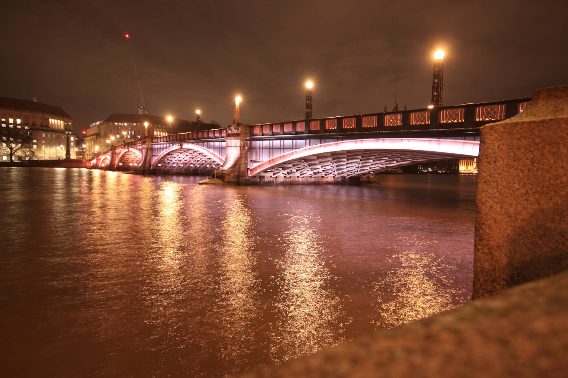
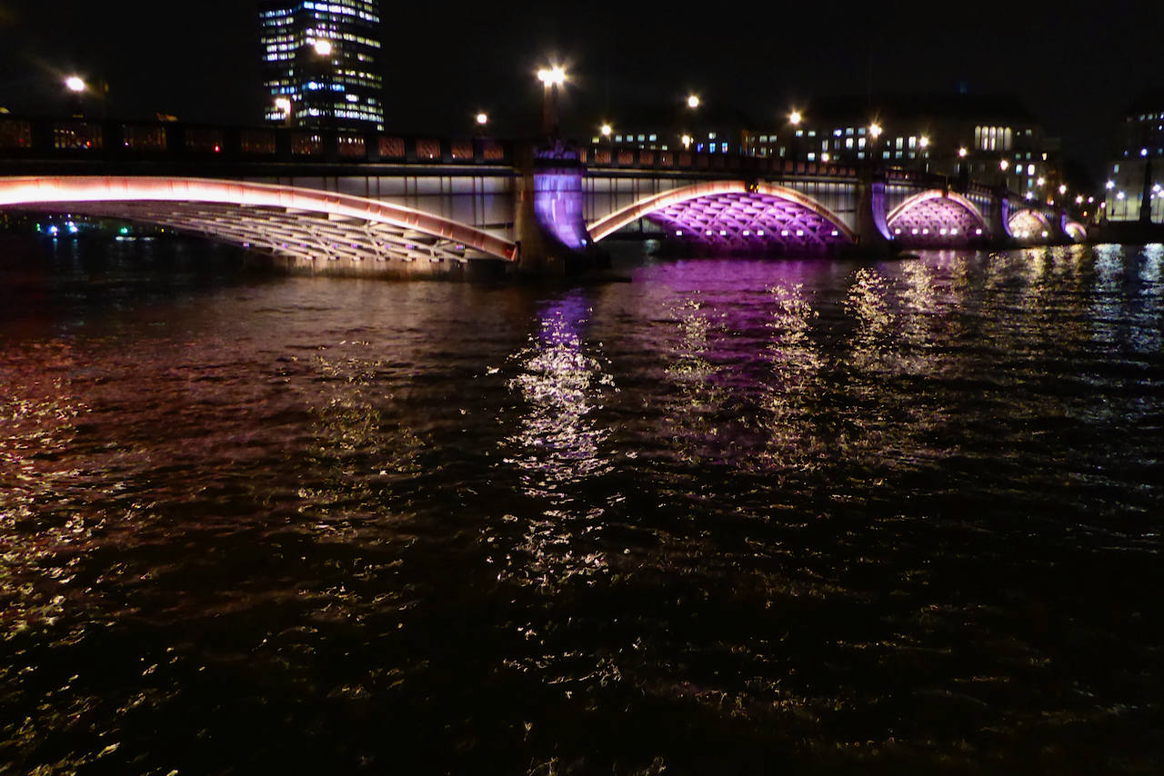
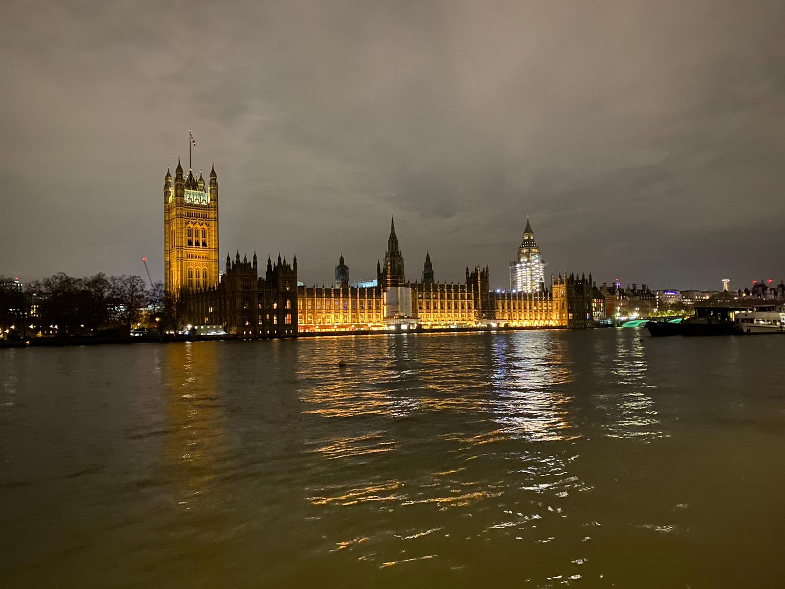
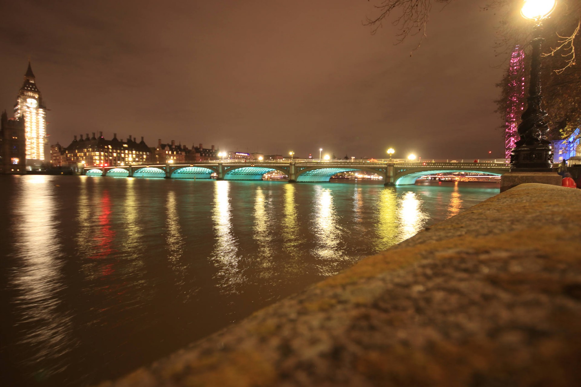
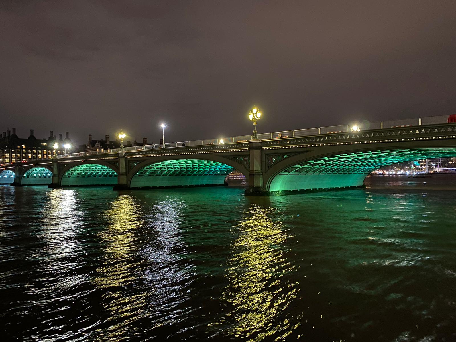
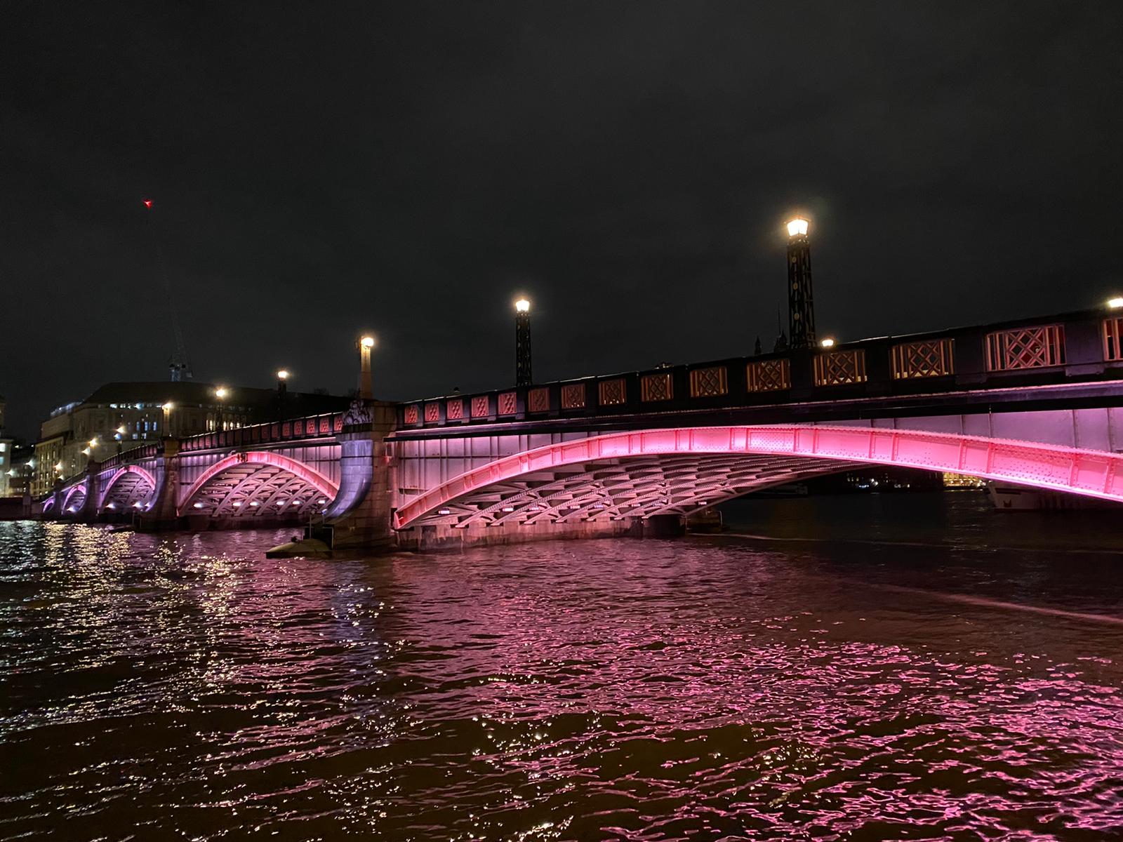
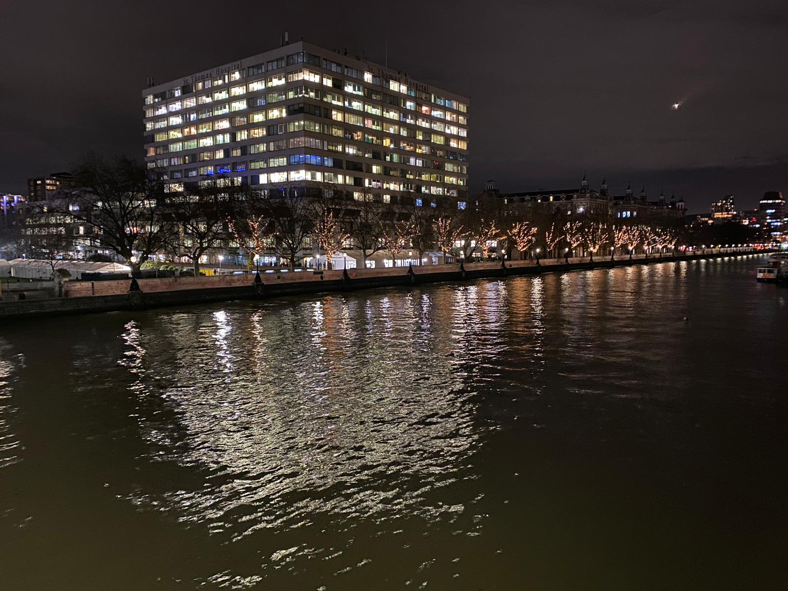
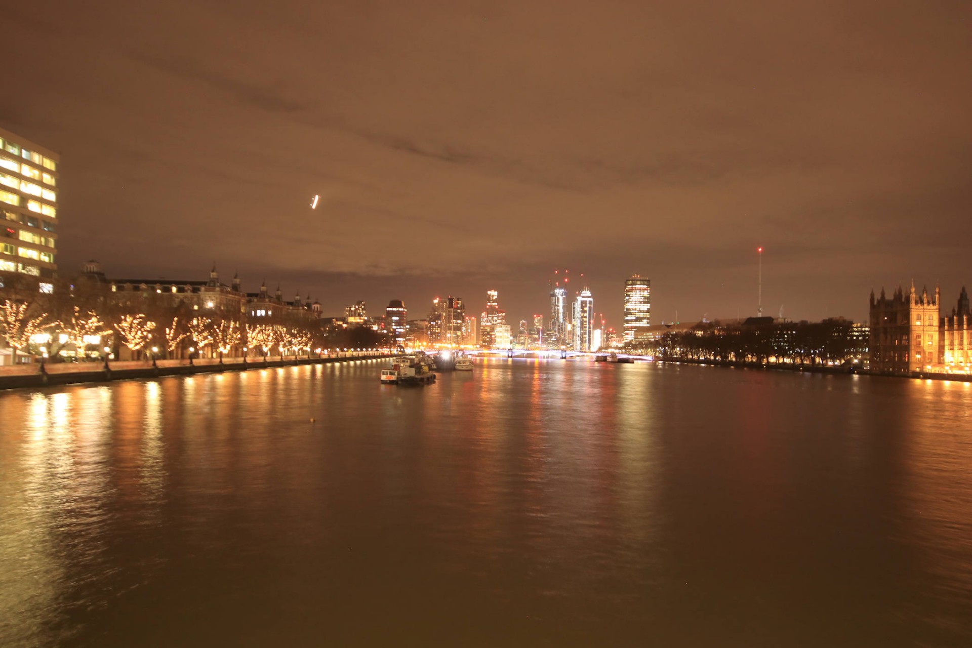
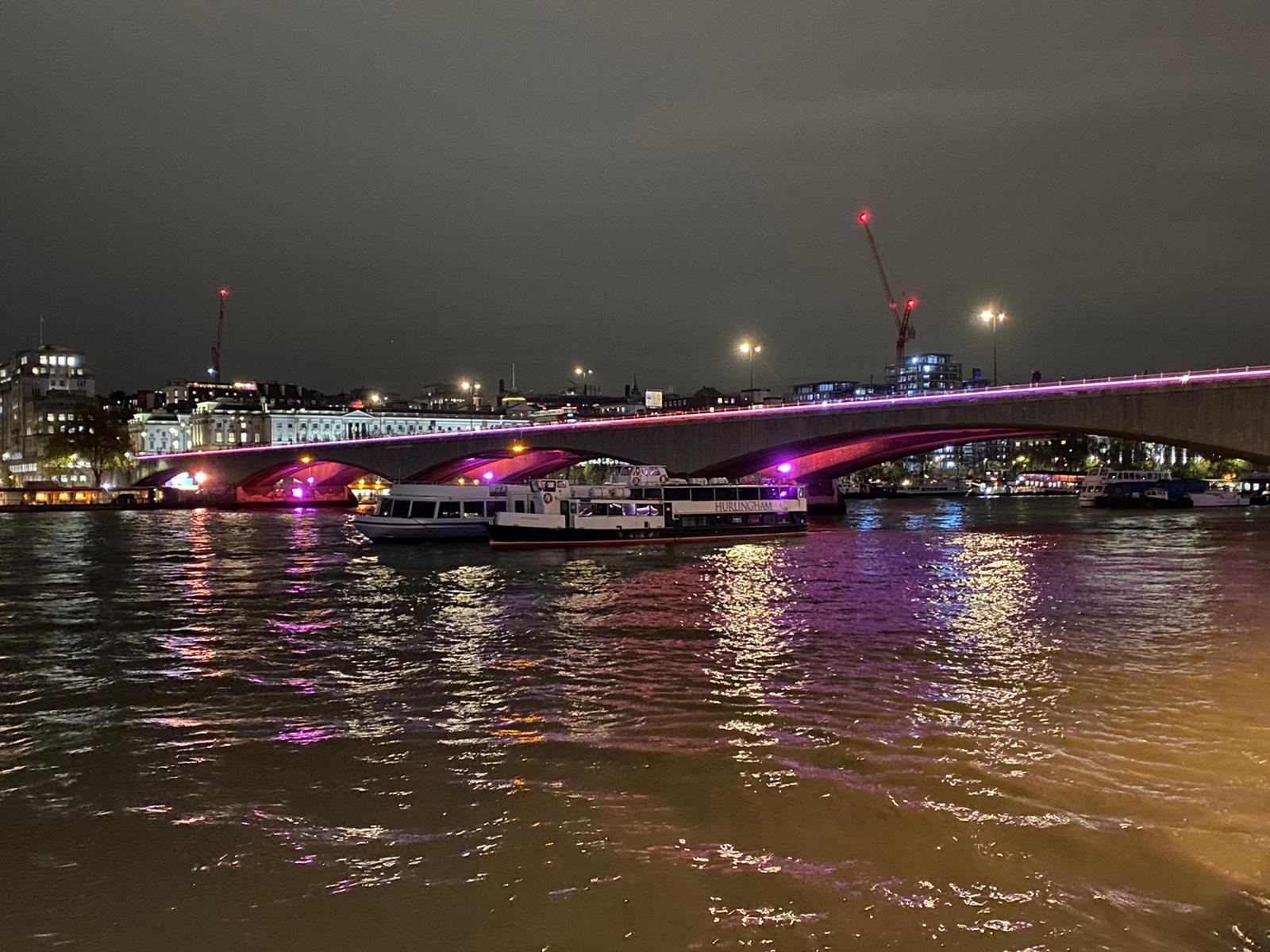
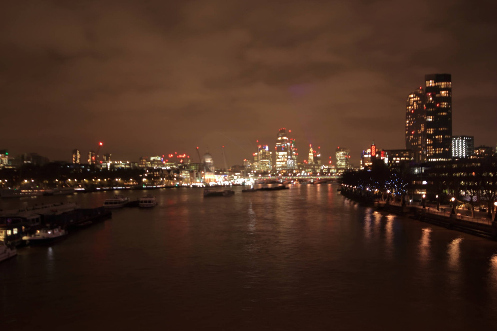
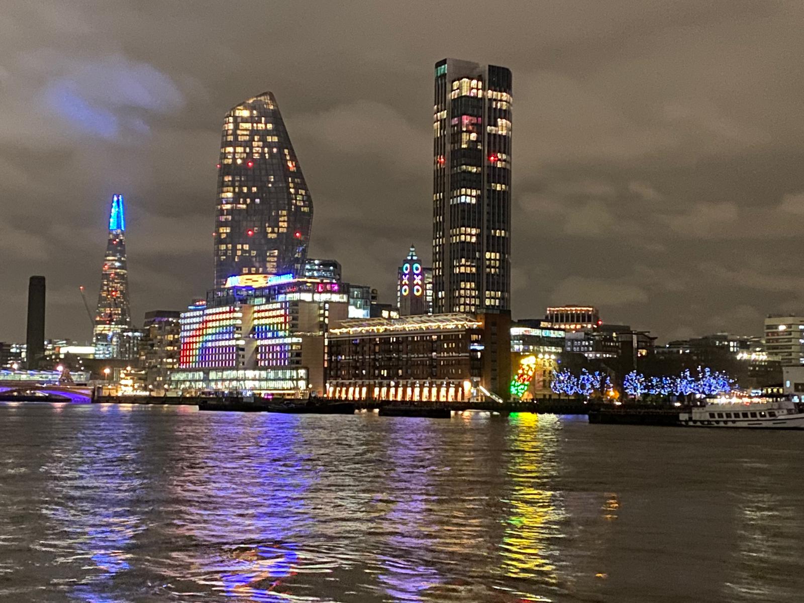
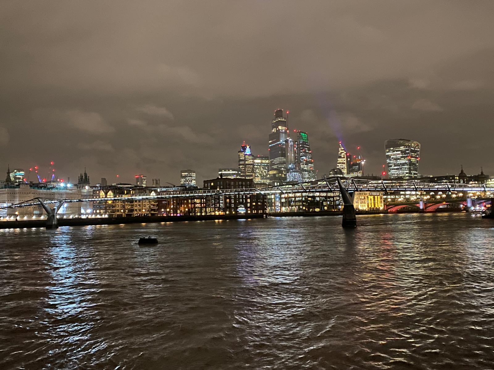
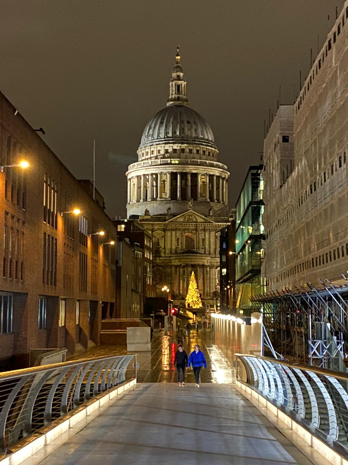
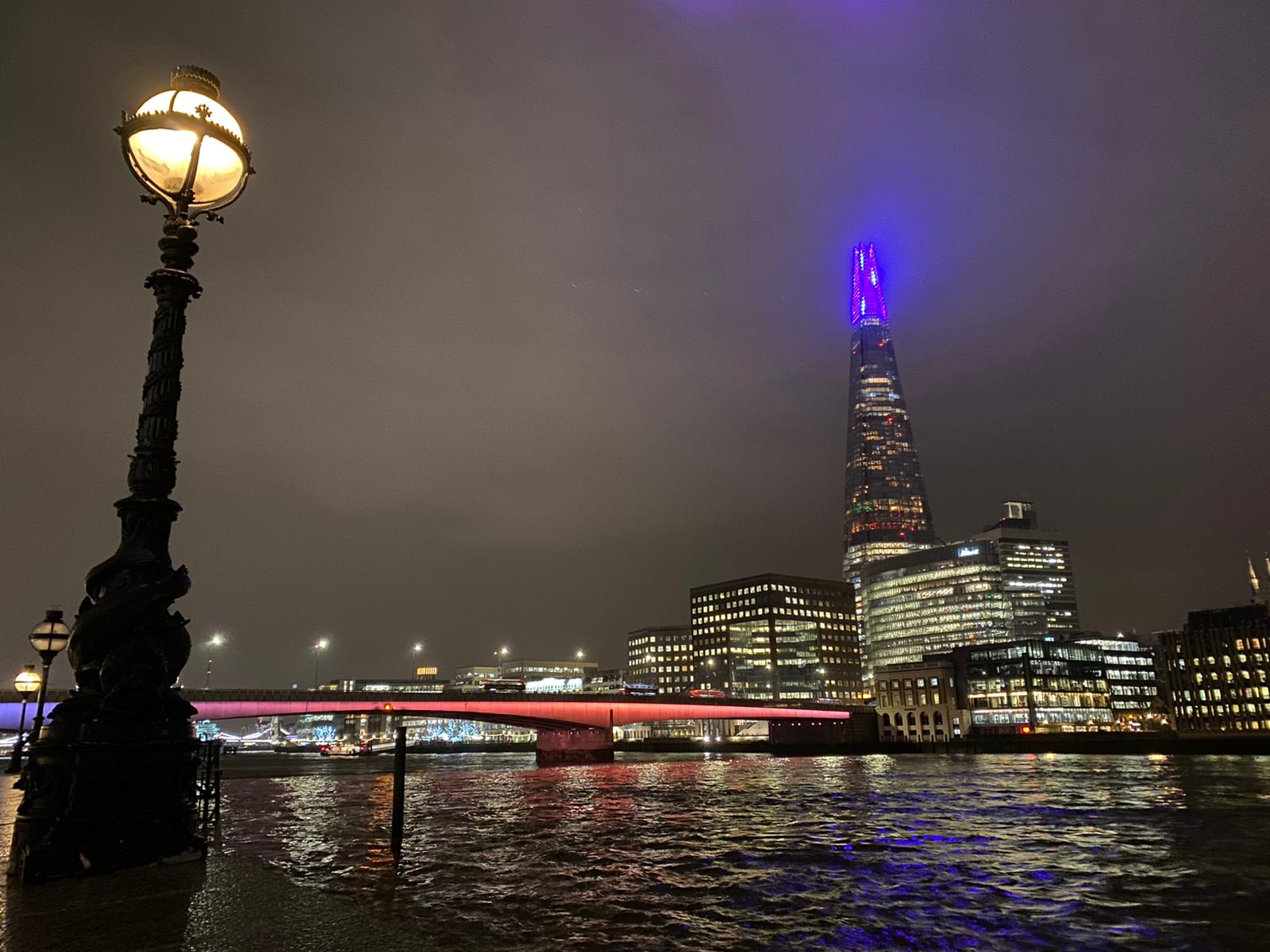
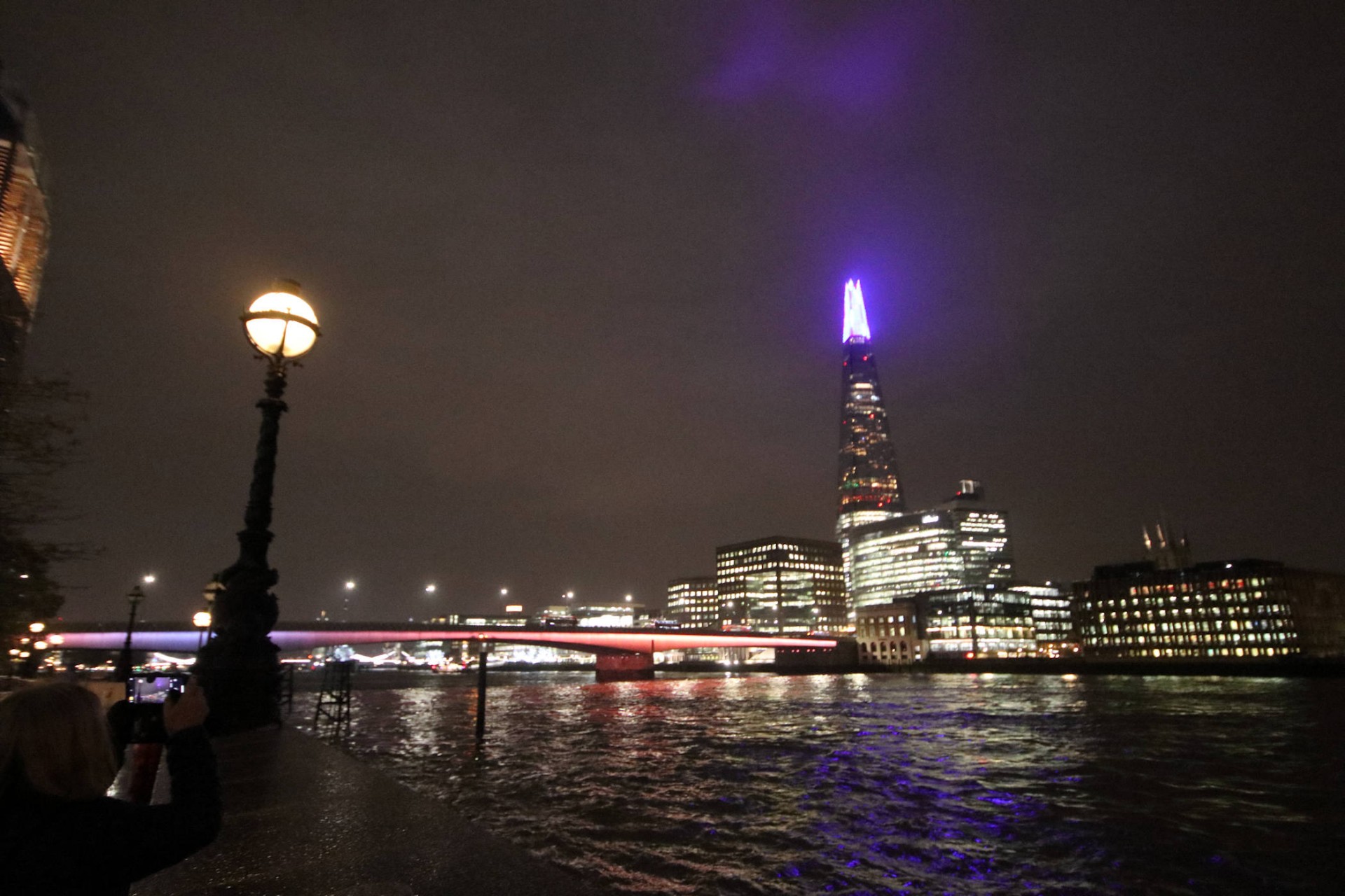
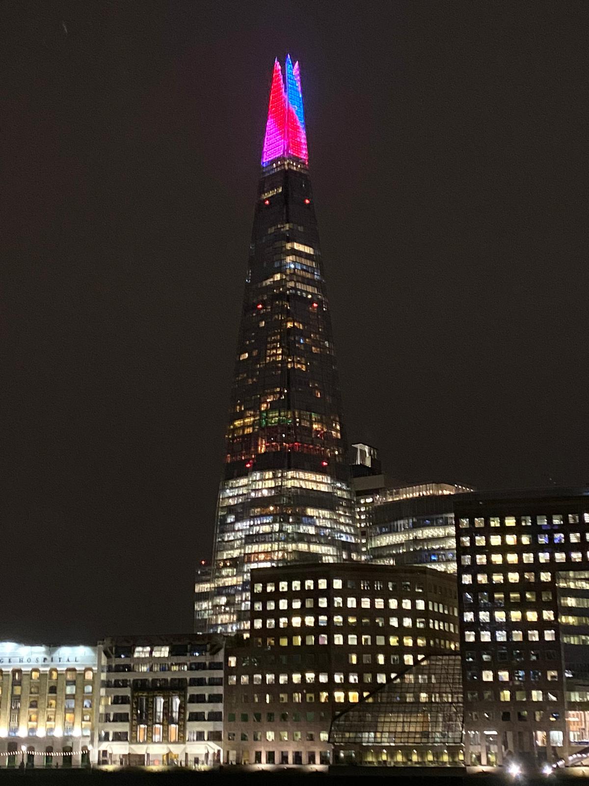
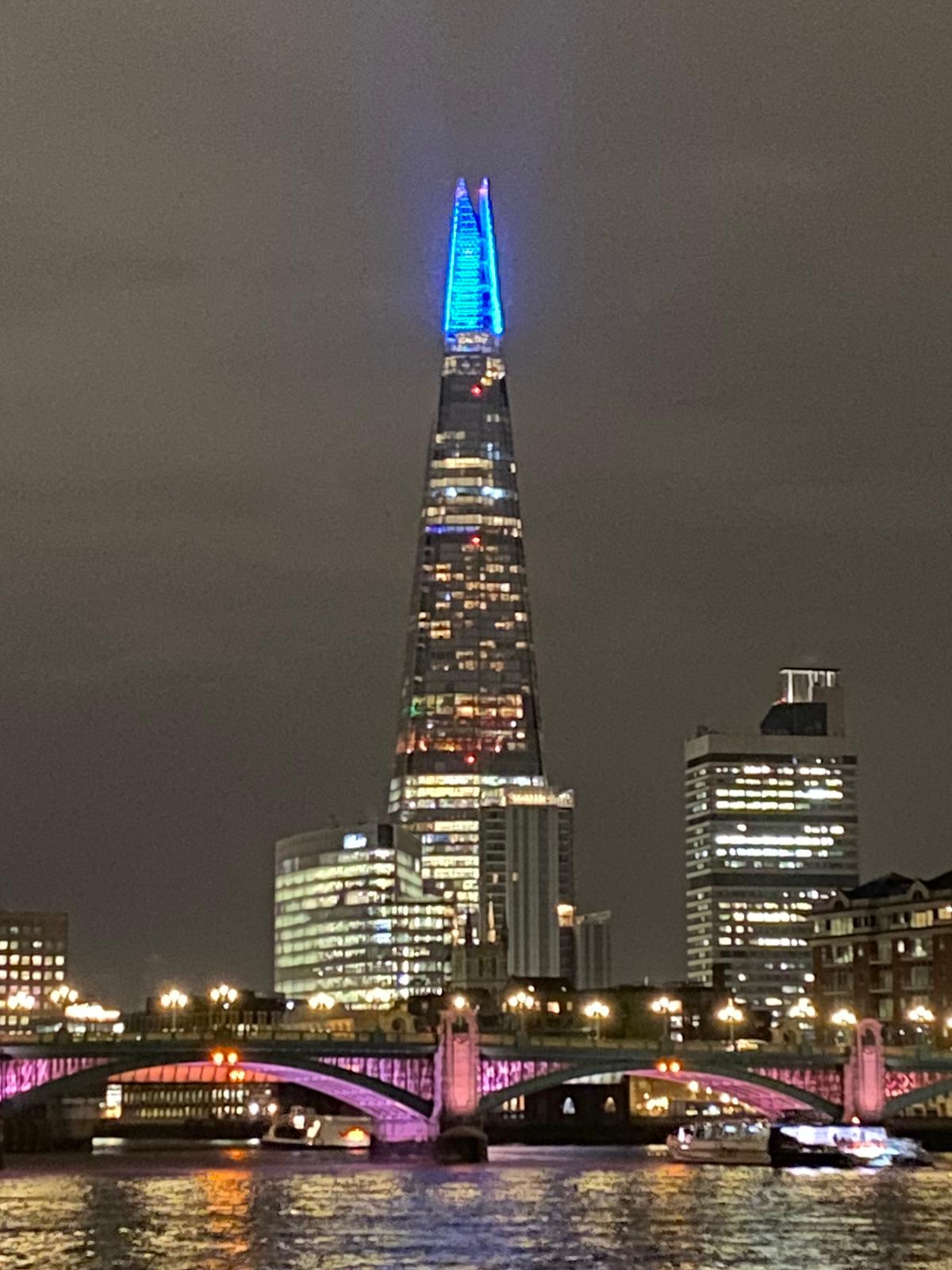
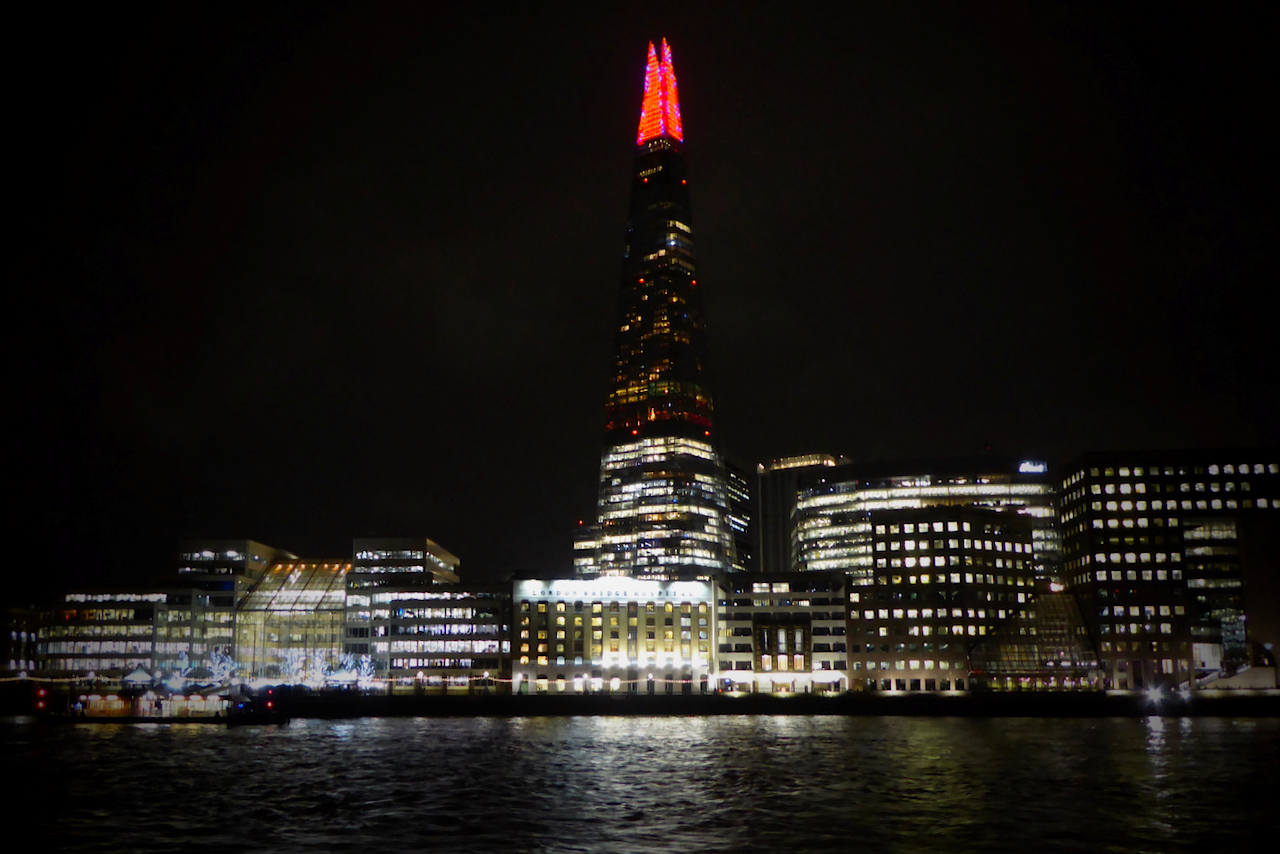
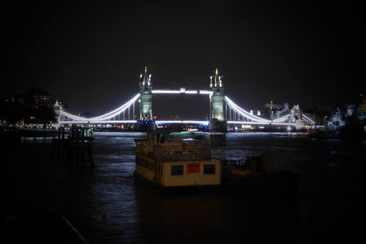
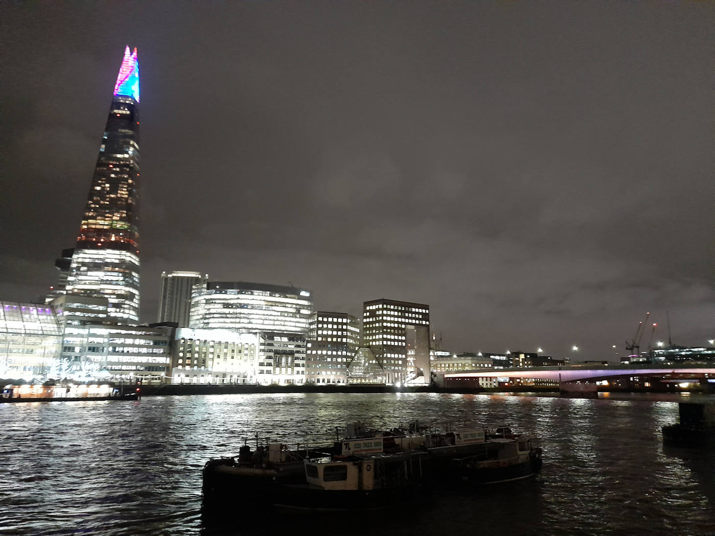
The illuminated Thames bridges
Thu 9th Dec 2021
Walk Details:
Crossing the bridges of the Thames
Entry Details:
Walk Report
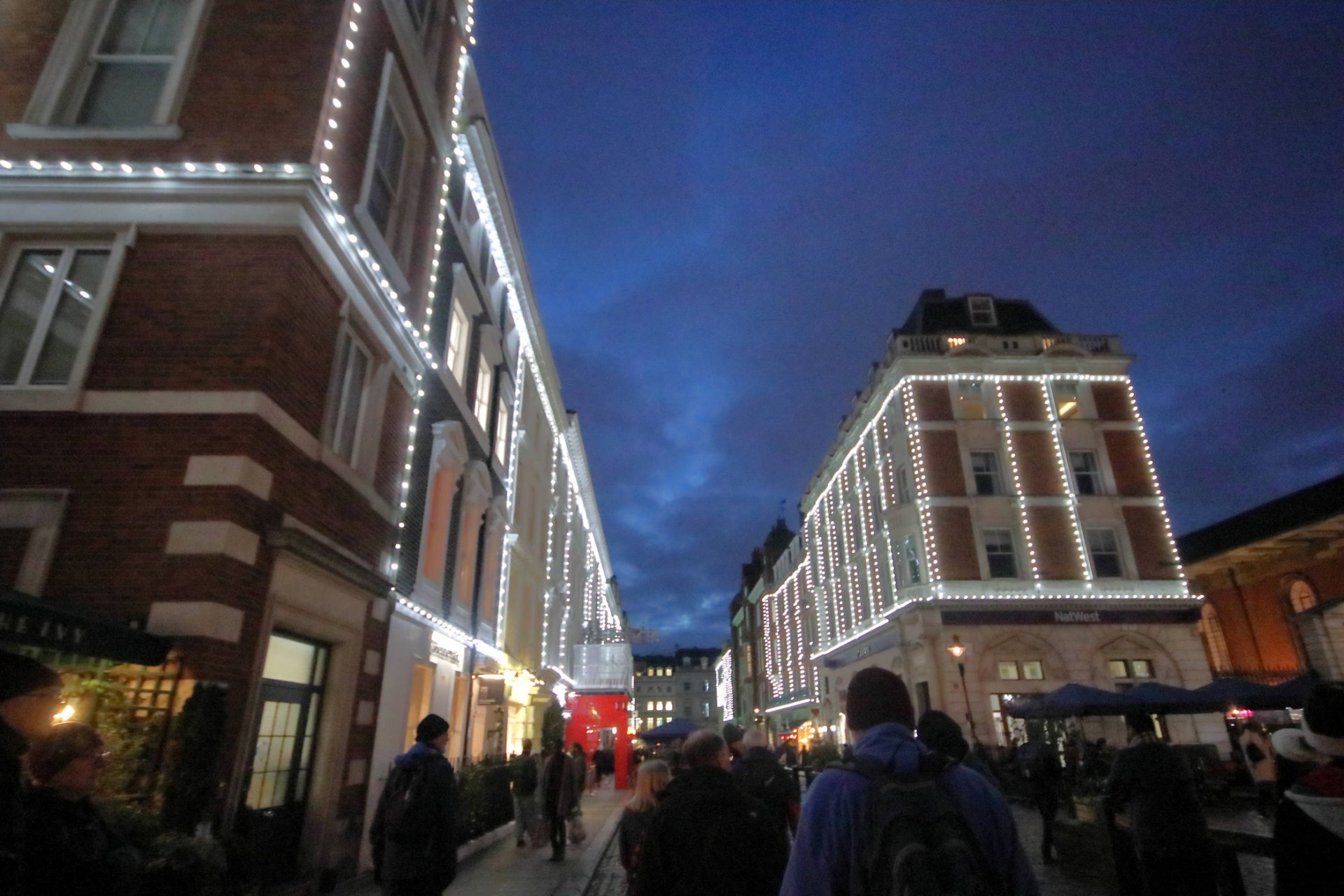
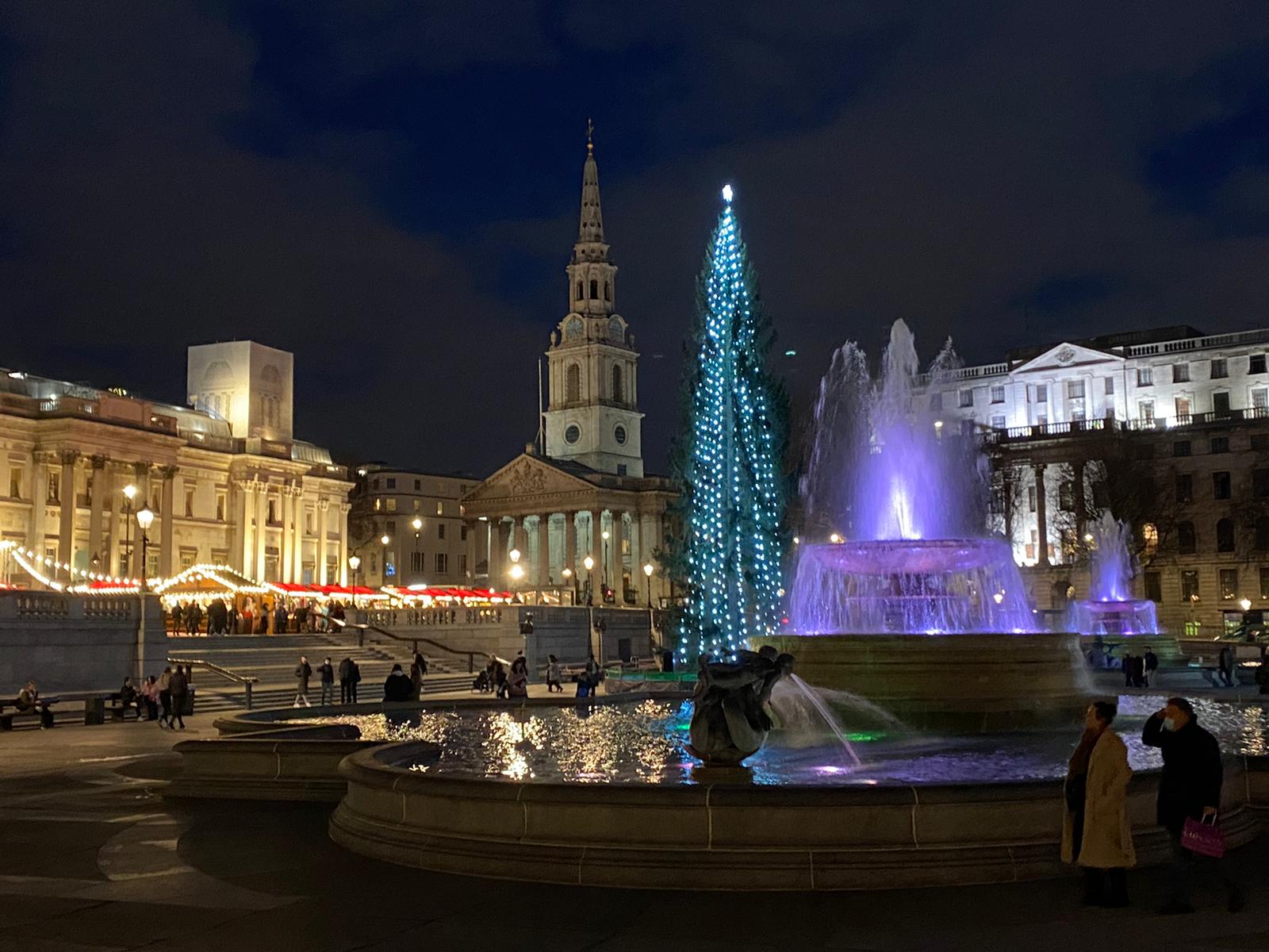
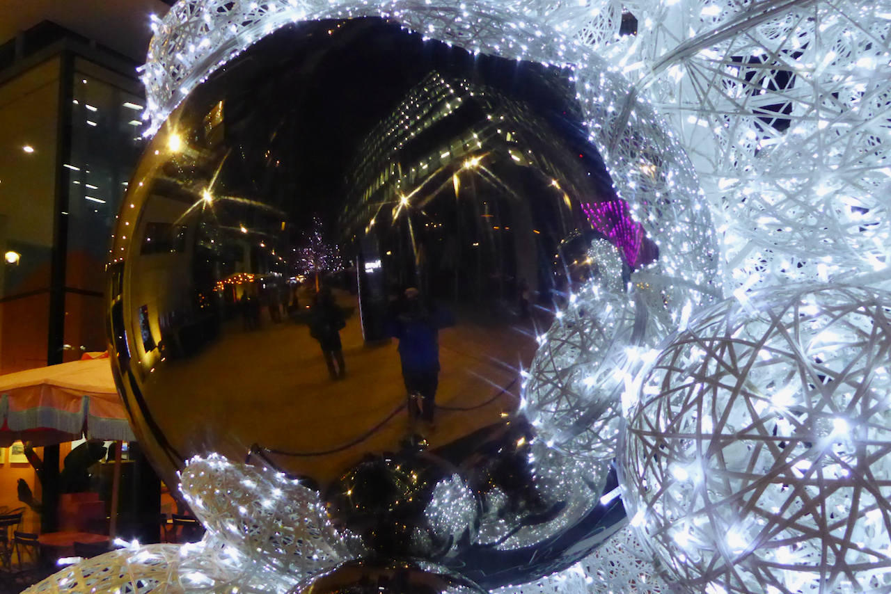
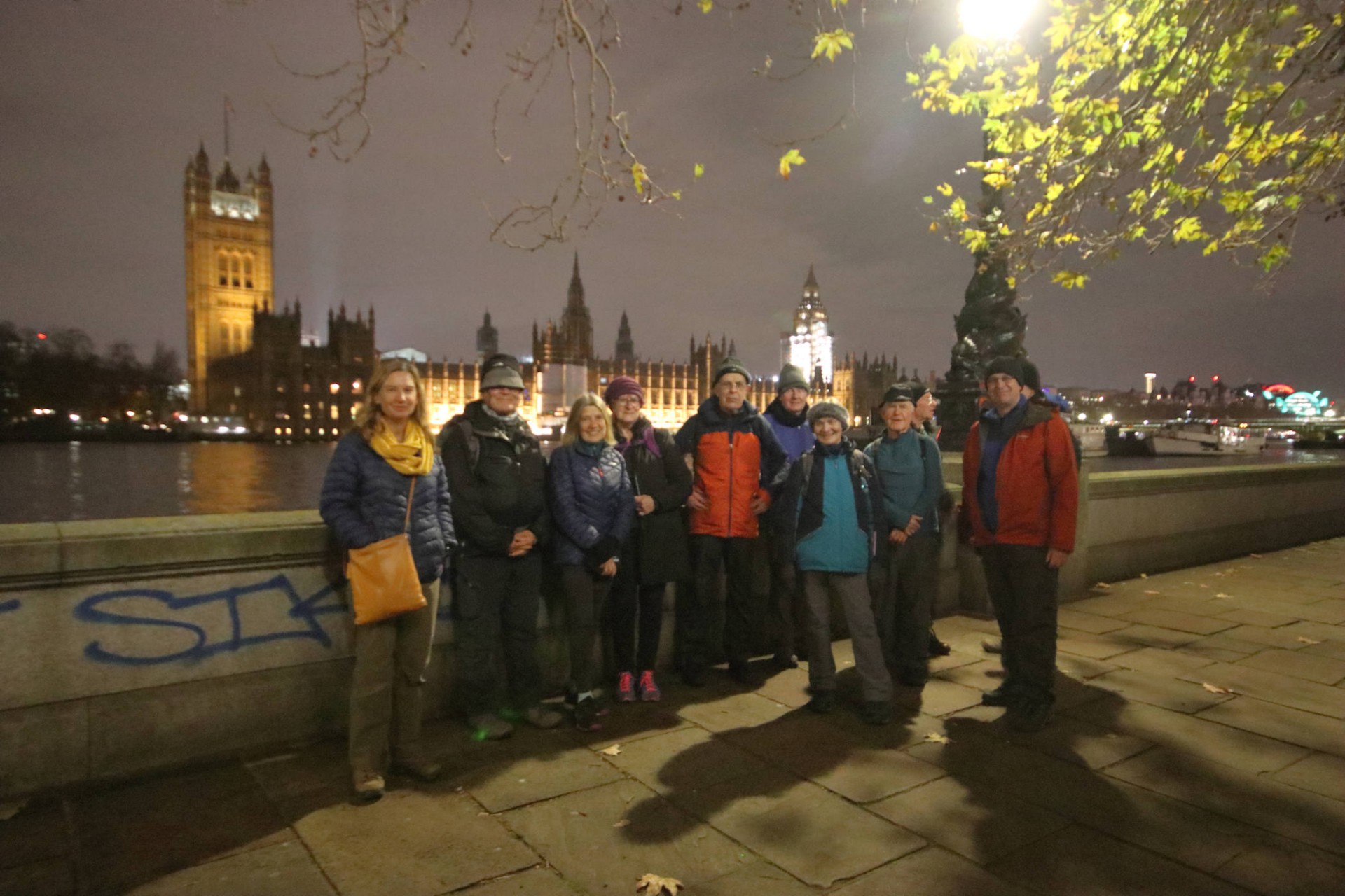
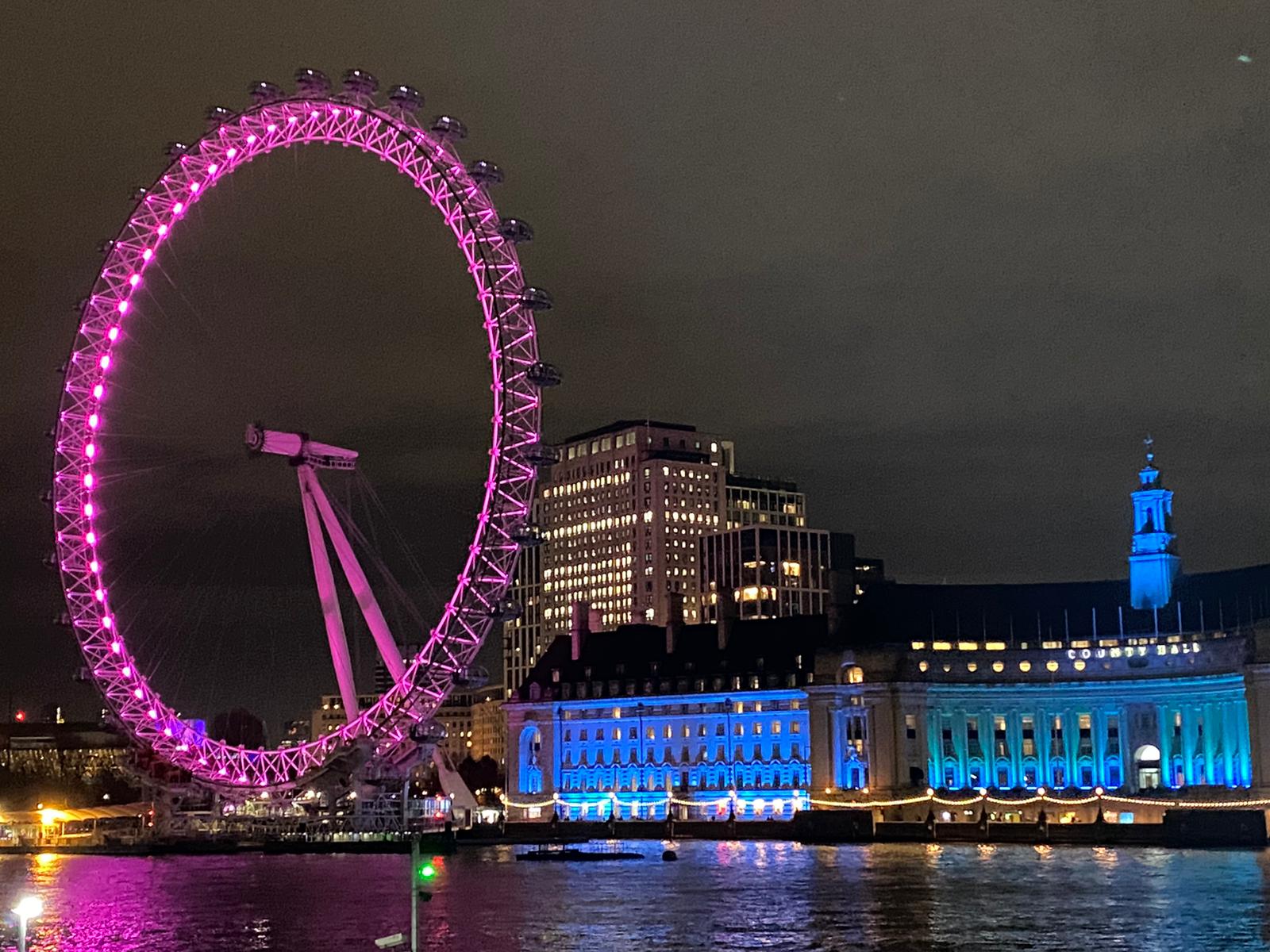
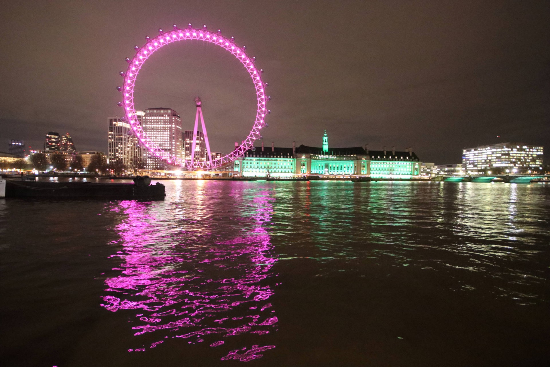
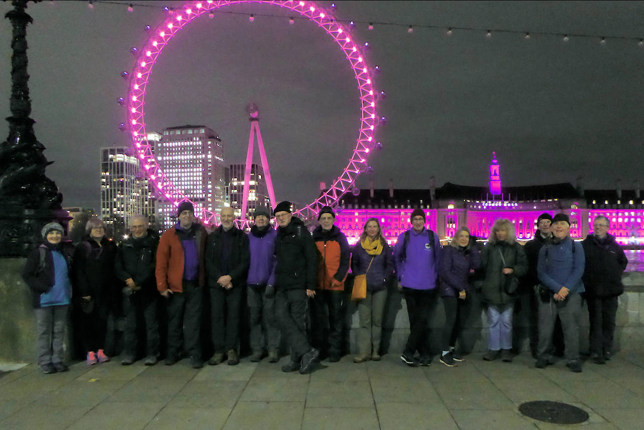
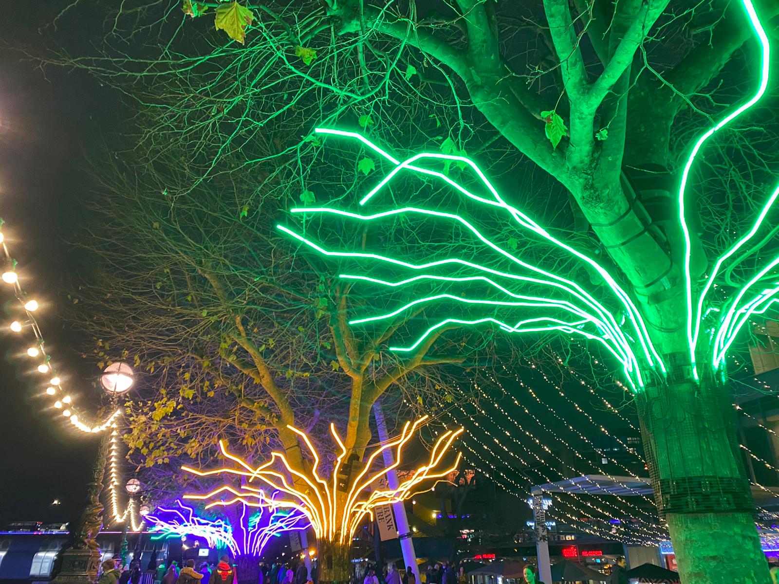
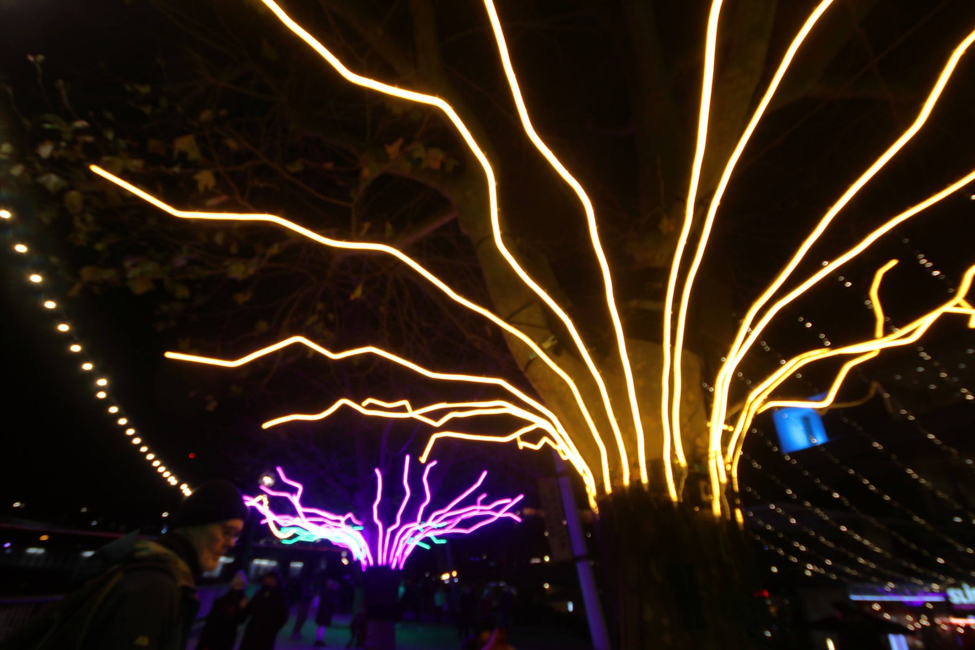
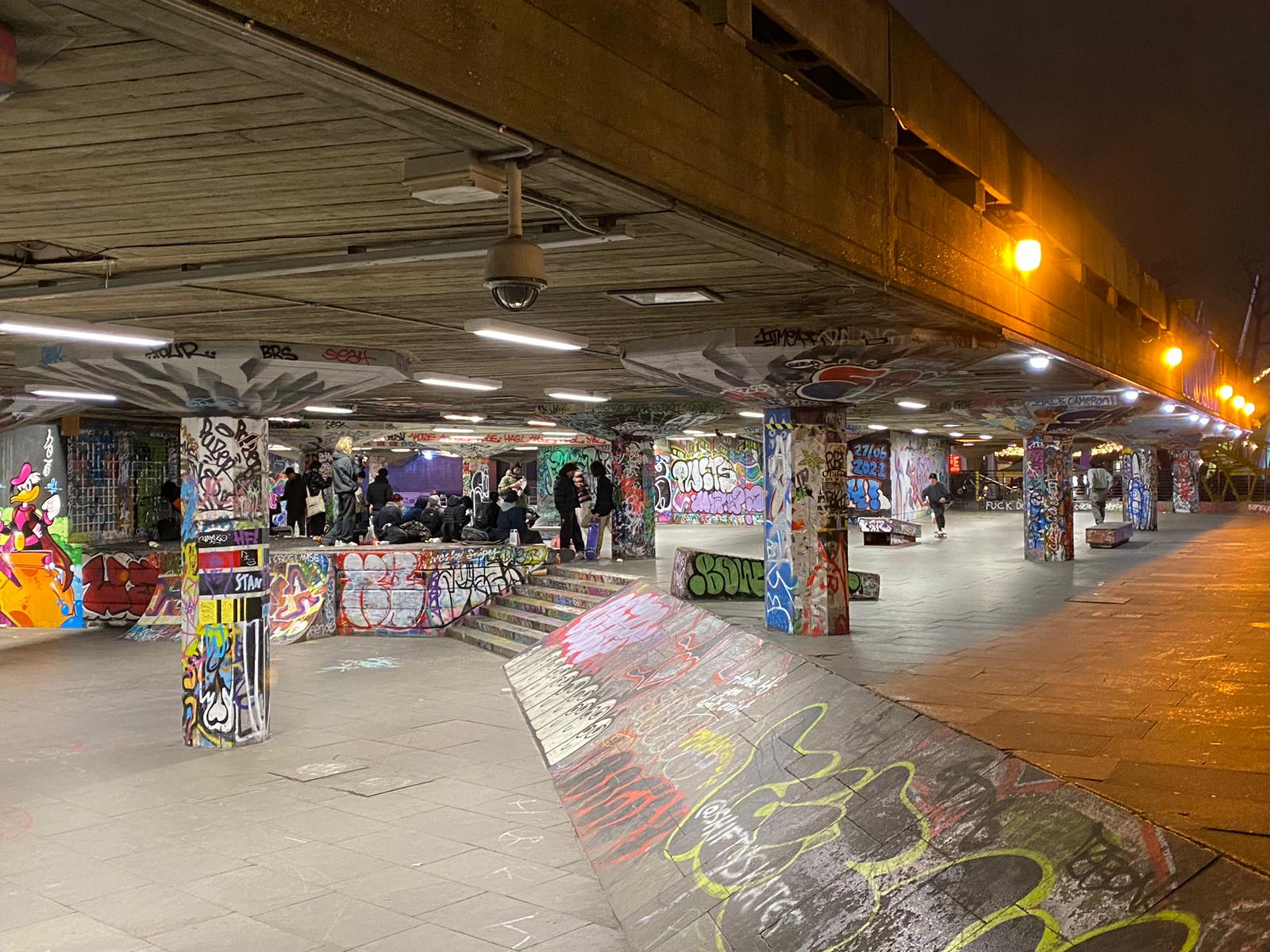
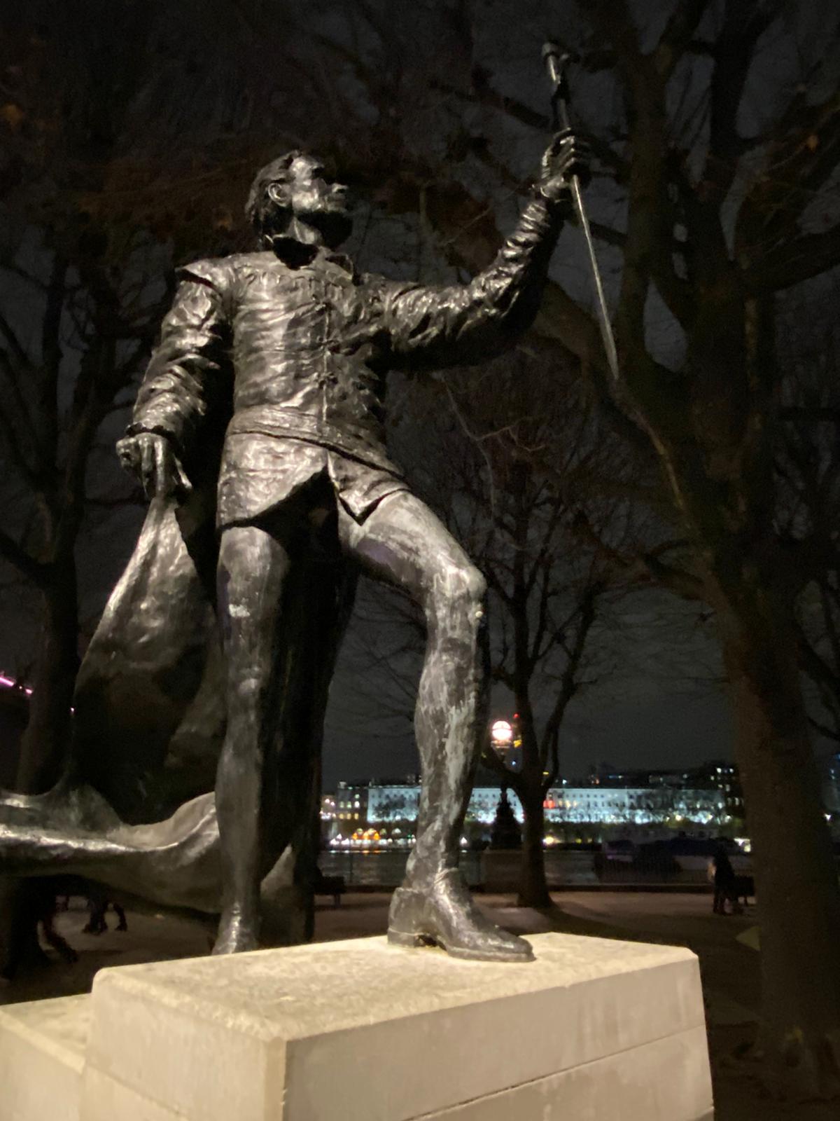
The Illuminated Thames Bridges, Thursday 9th December 202116 walkers, 11.1 miles - leader Ron Williamson
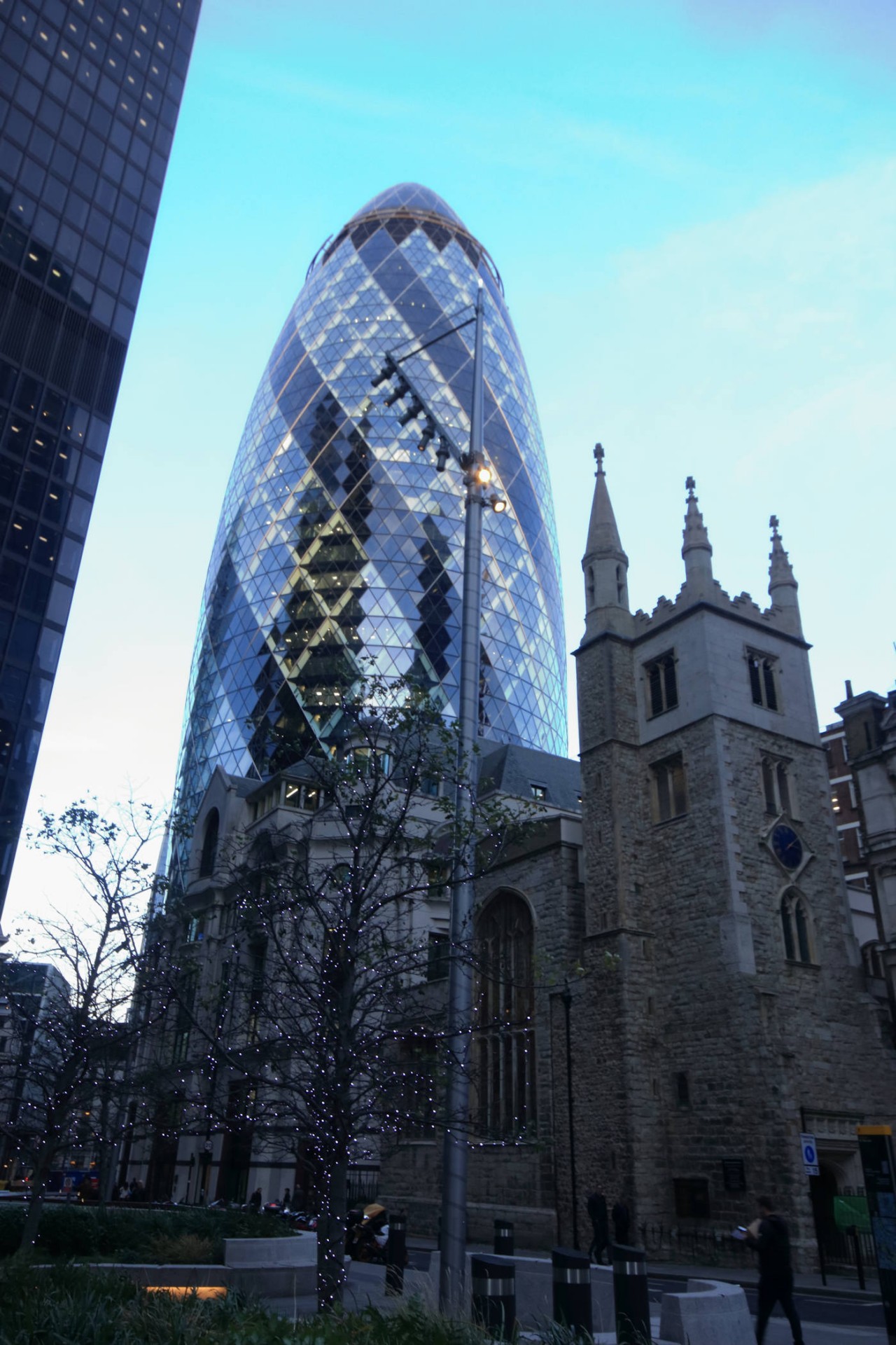
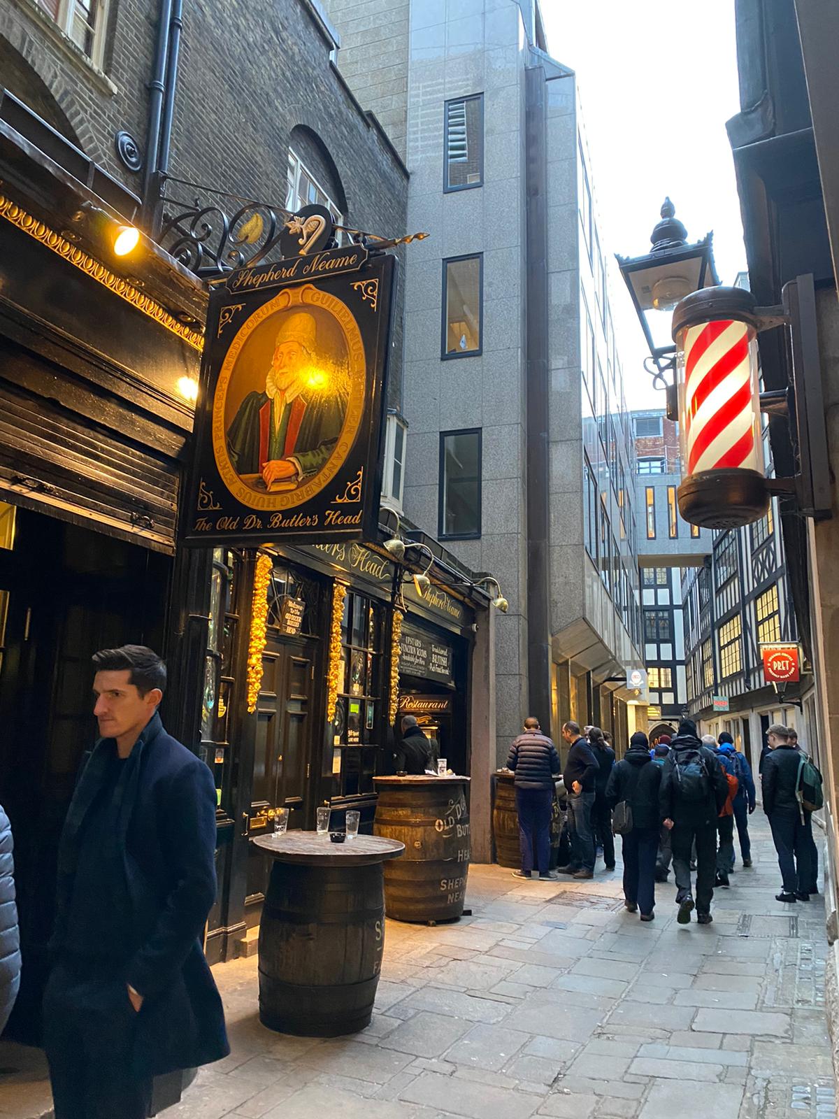
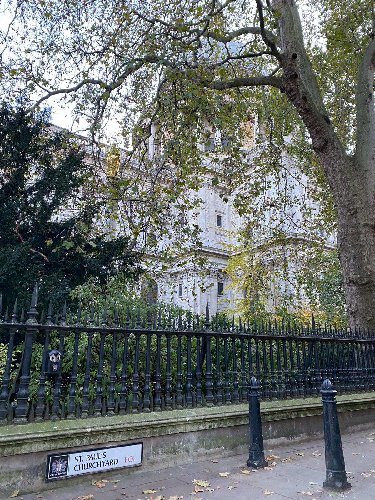
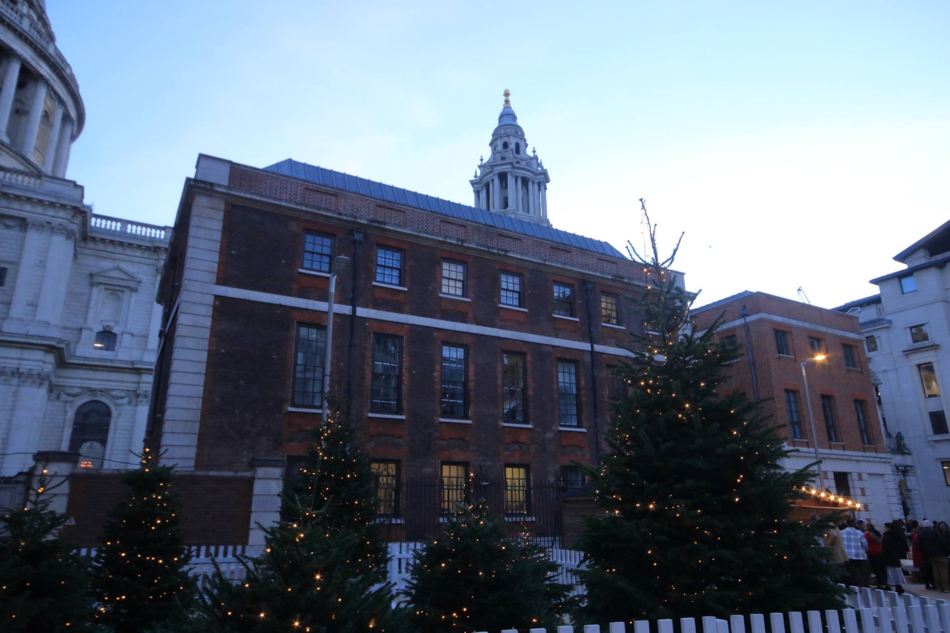
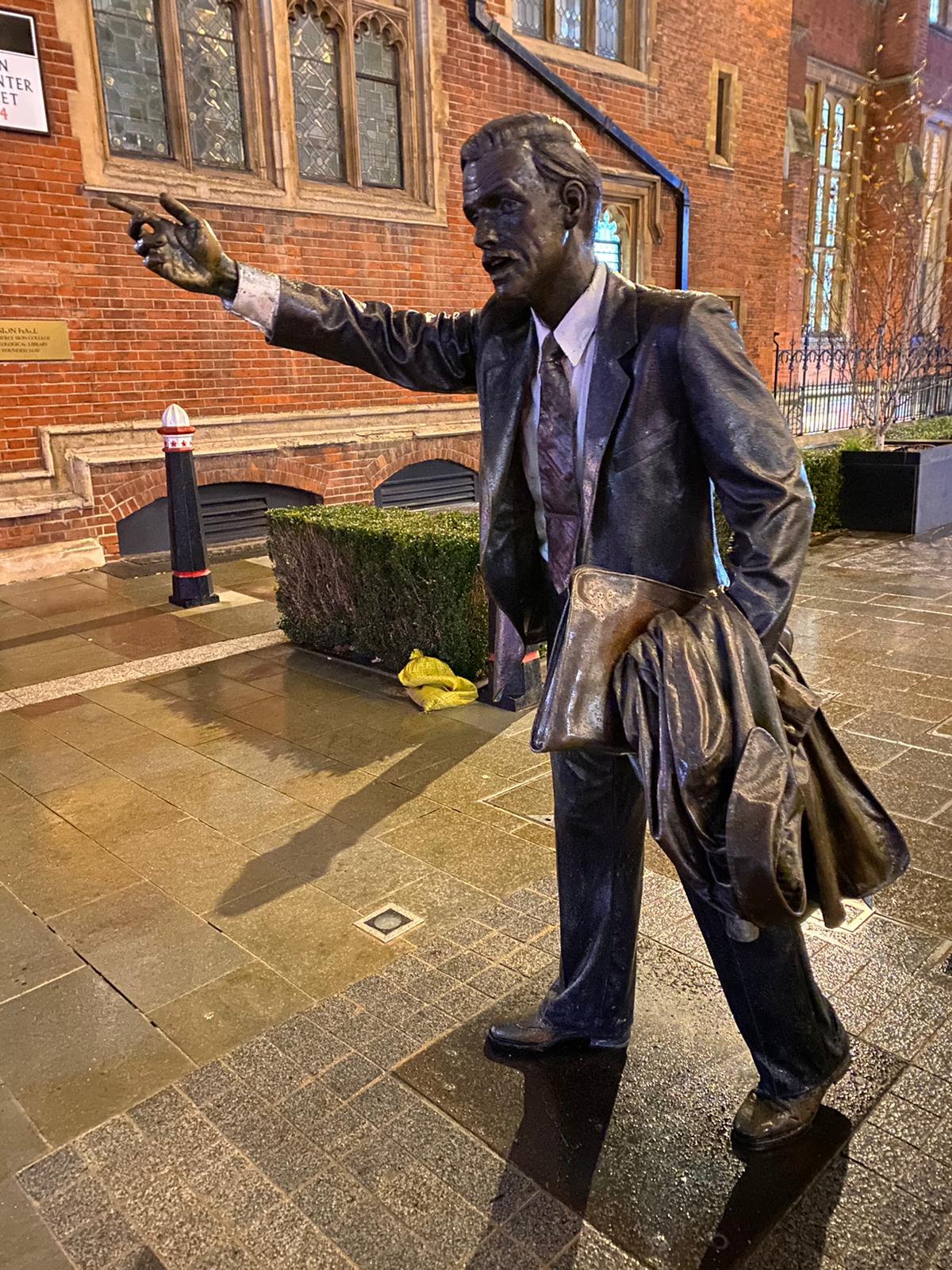
10 members met at Fenchurch St station for an afternoon jaunt across the City to Victoria, avoiding major roads as much as possible. The intricate nature of the alleys and backstreets ensured that concentration was needed to make progress in the right direction and even a crossing of St James's Park in the dark was made without alarm.
At Victoria station we were joined by six additional stalwarts for the return journey along the Thames. A far easier route! but it proved otherwise as walkers were now in familiar terrain and much time was lost searching for those who had stopped to take photos or had decided to walk on the other side of the road. In the end just nine reached the final destination of the Liberty Bounds although only one was unaccounted for, and I am pleased to say that he confirmed later that he had arrived safely home.
We were joined at the end by three additional members, so this short notice stroll attracted 19 in total. This time of year, I need a kick to get out in the cold and wet thanks for joining me. I think that it was well worth the effort, a note to myself that it is much harder than expected to lead in the dark through the London crowds.
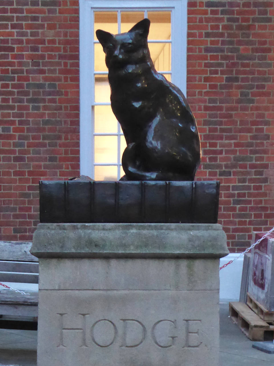
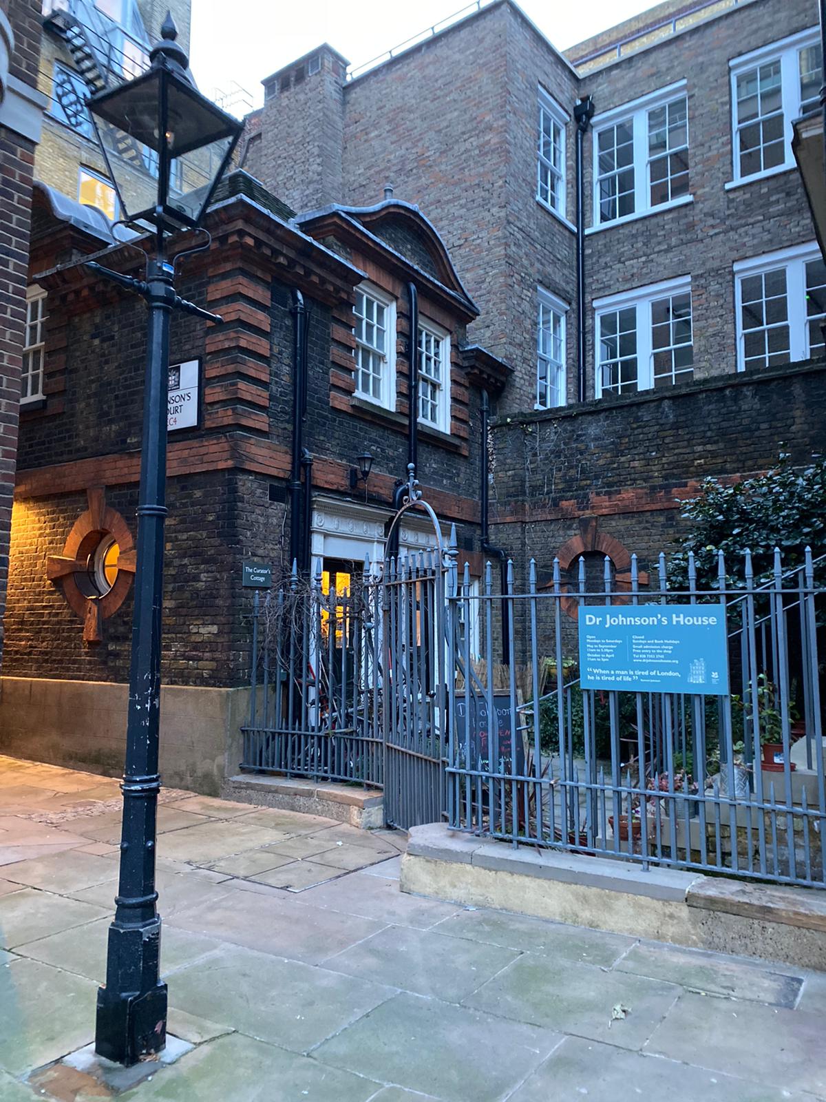
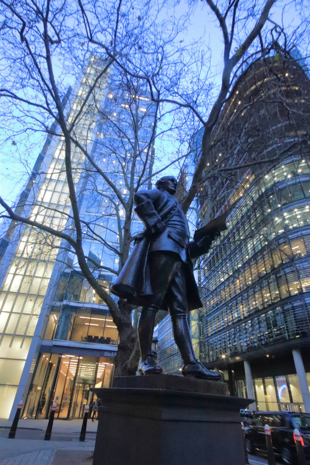
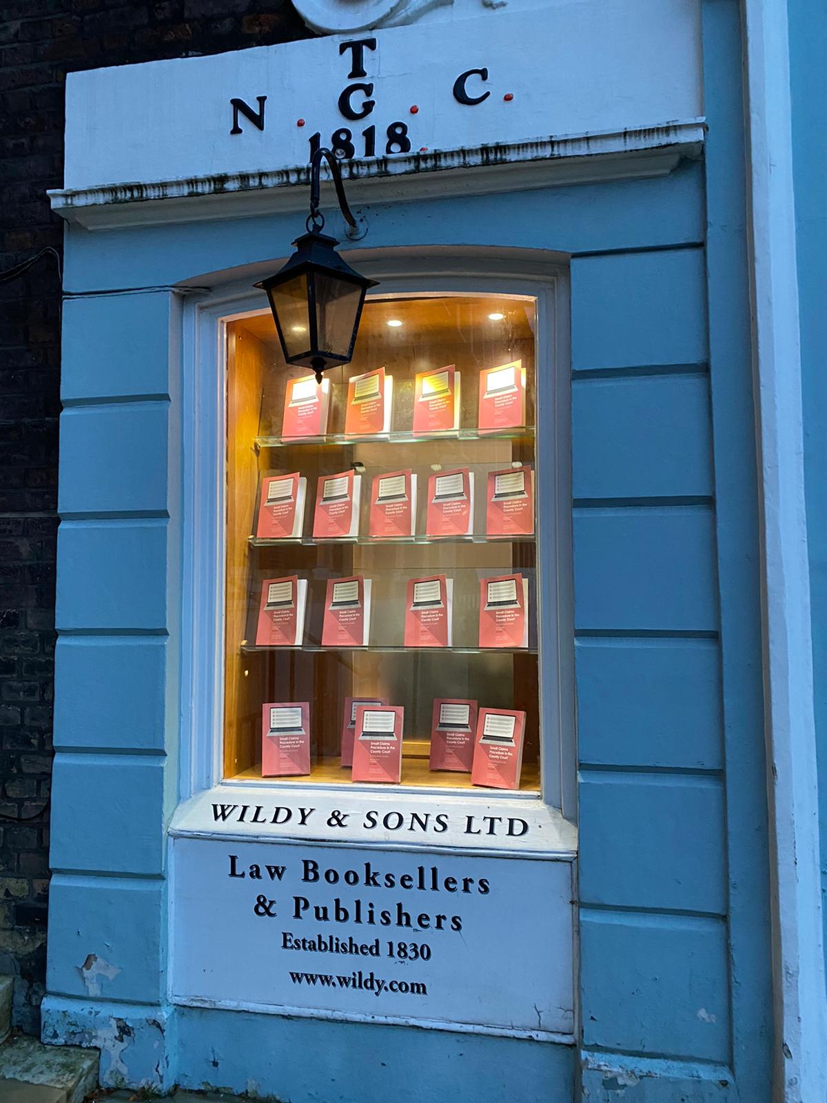
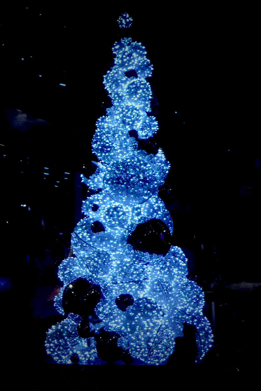
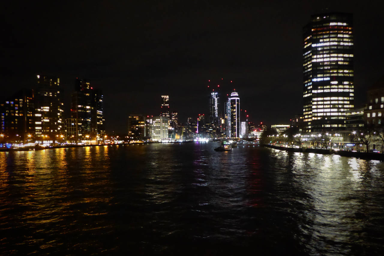
Photographs by Gavin Fuller, Charlotte Minchell and Godfrey O'Callaghan
Other Files
Download Walk ReportGPX
A GPX file of the above route may be downloaded by clicking the link below.
Note: GPX files of Group Walks are created by LDWA Group members, and may be downloaded only by other LDWA members. They should not be made available outside the LDWA, and are used at members' own risk.
Login to Download (Members Only)You can use the interactive controls to zoom in and out and to move around the map, or click on a path or a marker for more info. (interactive map help)
You can use the interactive controls to zoom in and out and to move around the map, or click on a path or a marker for more info. (interactive map help)
© OpenStreetMap contributors under Open Database Licence
Rights of way data from selected Local Authorities
Large scale digital mapping is provided by John Thorn
At high zoom levels the route is indicative only.
Gallery


Maps:
You can use the interactive controls to zoom in and out and to move around the map, or click on a marker for more info. (interactive map help)
© OpenStreetMap contributors under Open Database Licence.
Rights of way data from selected Local Authorities.
Large scale digital mapping is provided by John Thorn.


