


TOM'S HILL
Tue 25th Jan 2022
Walk Details:
Event Type
Group Walk
Region
Northern England
Local Group
West Lancashire
Distance
15ml.
Start Time
09.00
Route
Start car park opposite Owd Betts pub, Edenfield Road, Norden OL12 7TY. SD830159. We will be heading for Paradise over Tom Hill then on to Waugh Well and to Rossendale Way to Cowpe res over disused quarry workings to Greenbooth and over Knowl Moor and back.
Leaders: Ady & Tom akhoughton1@hotmail.com 07915 654087
Start and Finish
Entry Details:
Cost
Walk Report
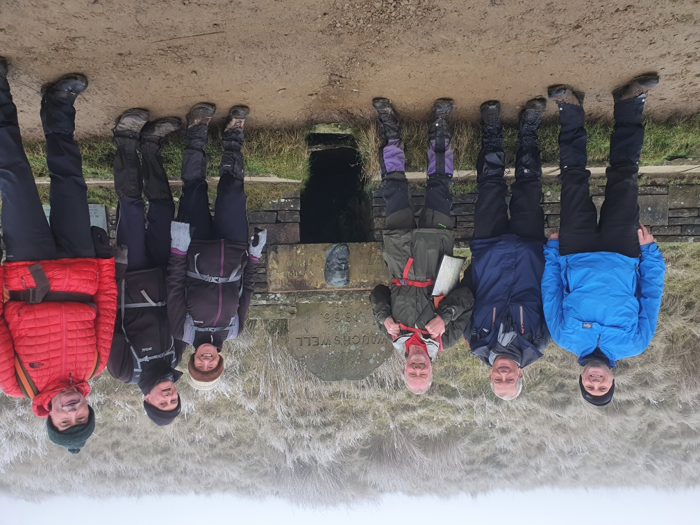
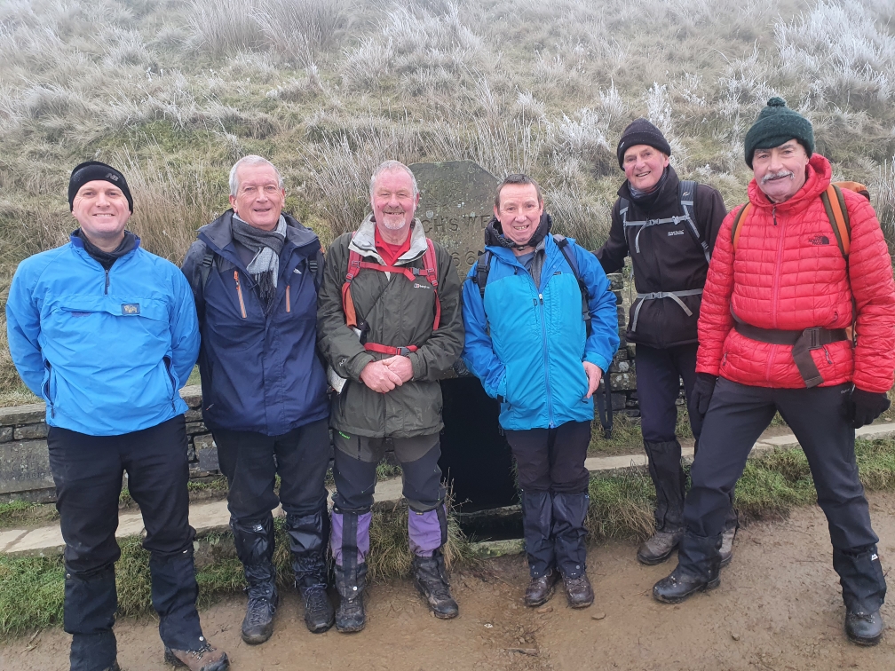
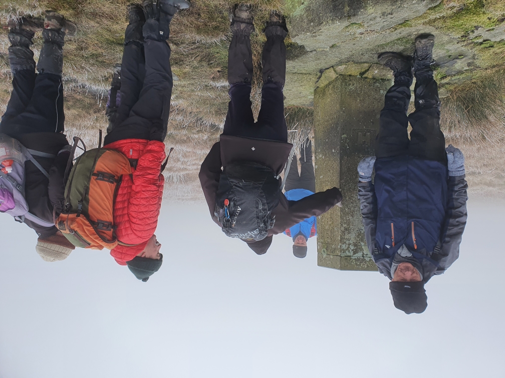
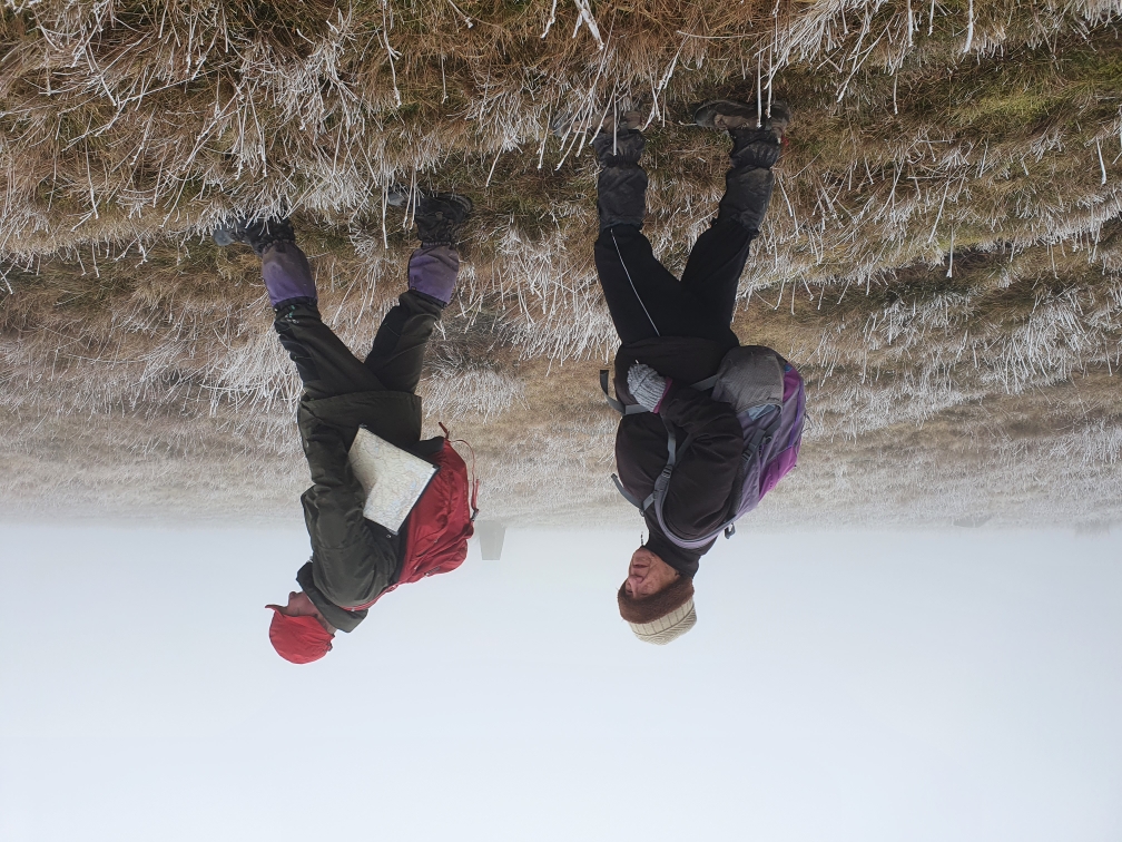
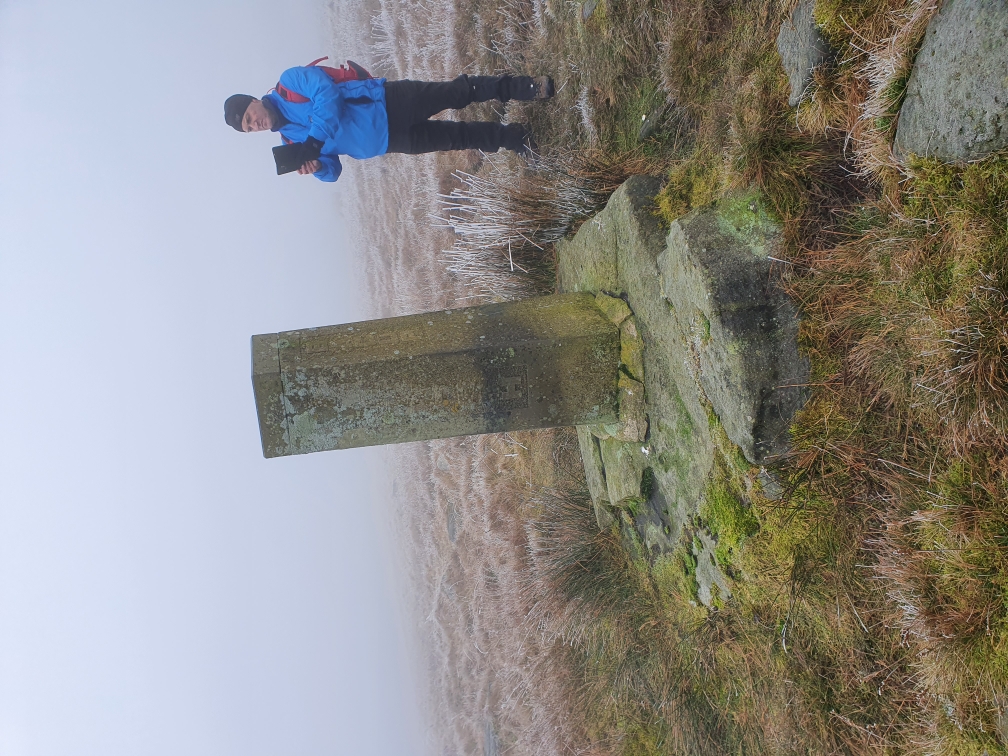
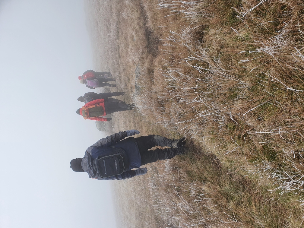
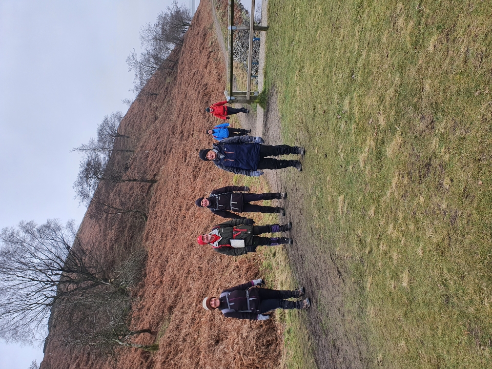
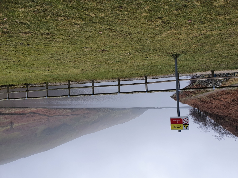
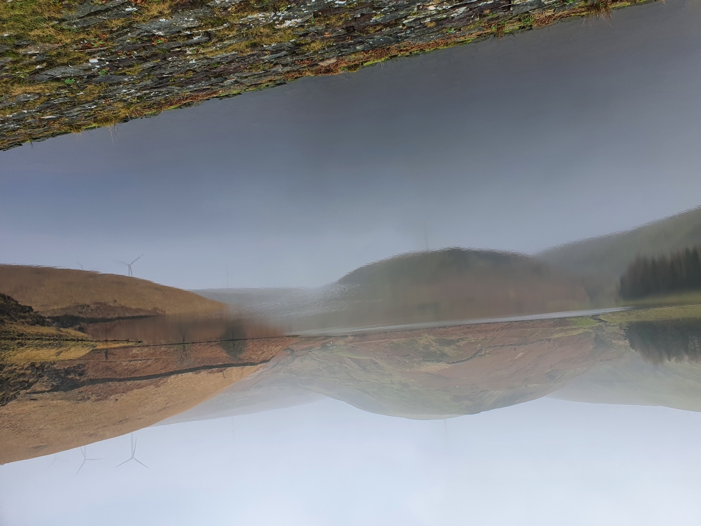
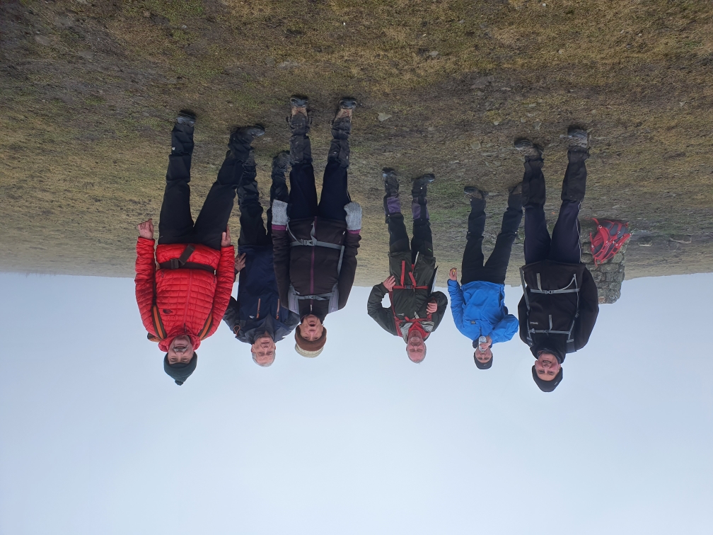
We set off over scout Moor wind farm but couldn't see the turbines on up to higher hill on good paths. Then onto Rossendale Way to Waughs well still no views through to Cragg quarries and Top of Leach. We joined the Pennine bridleway to top of pike and down to Naden lower res where dinner was took in a small quarry. We went round the two reservoirs and part of Greenbooth res then a climb up to Knowl hill and down the Moor back to Owd BettsOther Files
GPX
A GPX file of the above route may be downloaded by clicking the link below.
Note: GPX files of Group Walks are created by LDWA Group members, and may be downloaded only by other LDWA members. They should not be made available outside the LDWA, and are used at members' own risk.
Login to Download (Members Only)You can use the interactive controls to zoom in and out and to move around the map, or click on a path or a marker for more info. (interactive map help)
You can use the interactive controls to zoom in and out and to move around the map, or click on a path or a marker for more info. (interactive map help)
Contains Ordnance Survey data © Crown copyright and database right 2016.
© OpenStreetMap contributors under Open Database Licence
Rights of way data from selected Local Authorities
Large scale digital mapping is provided by John Thorn
At high zoom levels the route is indicative only.
© OpenStreetMap contributors under Open Database Licence
Rights of way data from selected Local Authorities
Large scale digital mapping is provided by John Thorn
At high zoom levels the route is indicative only.
Gallery
Maps:
You can use the interactive controls to zoom in and out and to move around the map, or click on a marker for more info. (interactive map help)
Contains Ordnance Survey data © Crown copyright and database right 2016.
© OpenStreetMap contributors under Open Database Licence.
Rights of way data from selected Local Authorities.
Large scale digital mapping is provided by John Thorn.
© OpenStreetMap contributors under Open Database Licence.
Rights of way data from selected Local Authorities.
Large scale digital mapping is provided by John Thorn.


