


Dickens, Downs and Medway
Sat 4th Dec 2021
Walk Details:
Country parks, woodlands villages and views, exploring the area west of the Medway. The walk is based on previous walks that I have led but there has not been a recent recce; there may be some surprises!
Entry Details:
Walk Report
Dickens, Downs and Medway, Saturday 4th December 20217 walkers, 20 miles - leader Jerome Ripp
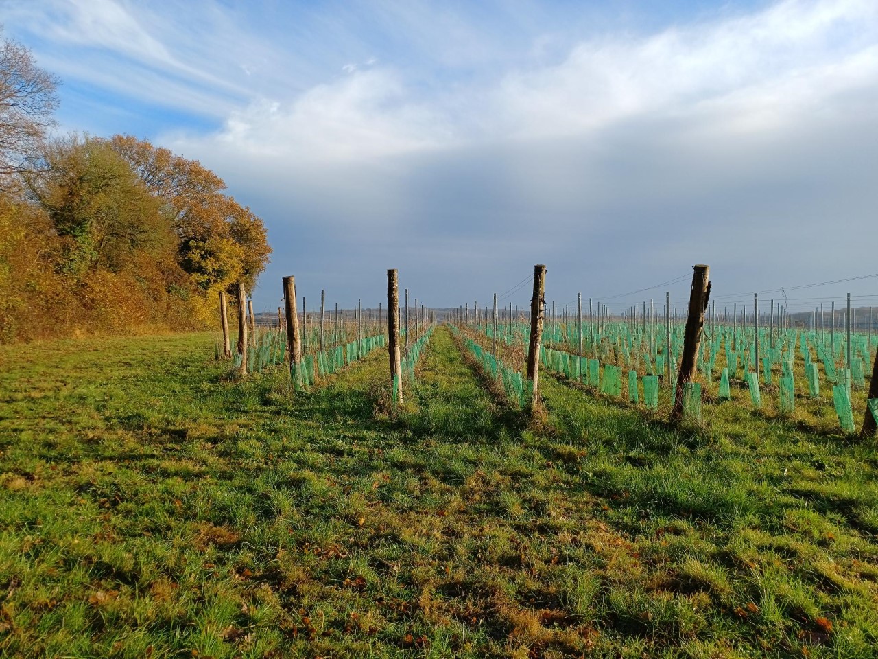
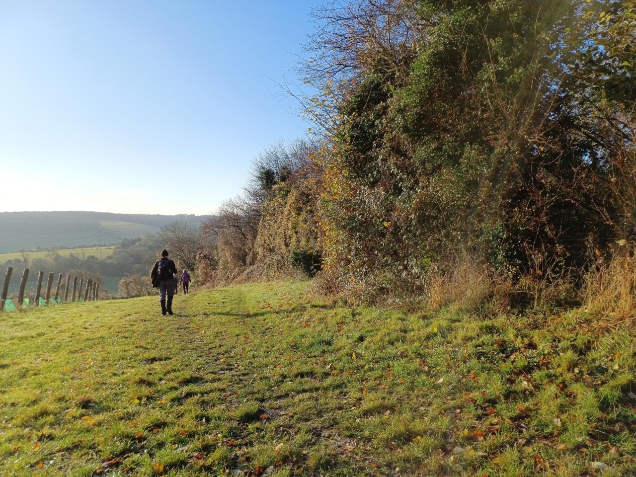
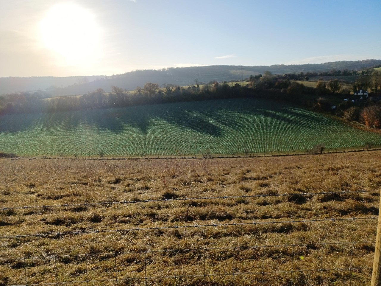
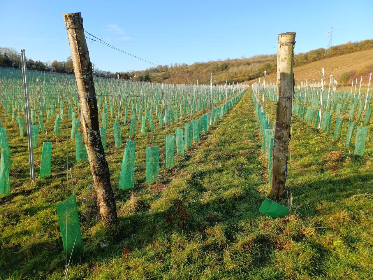
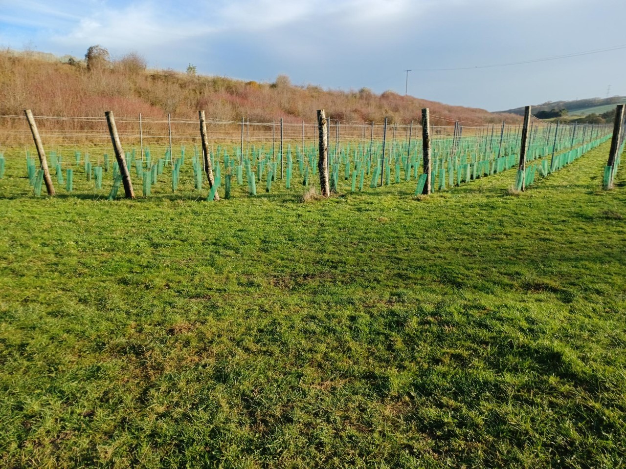
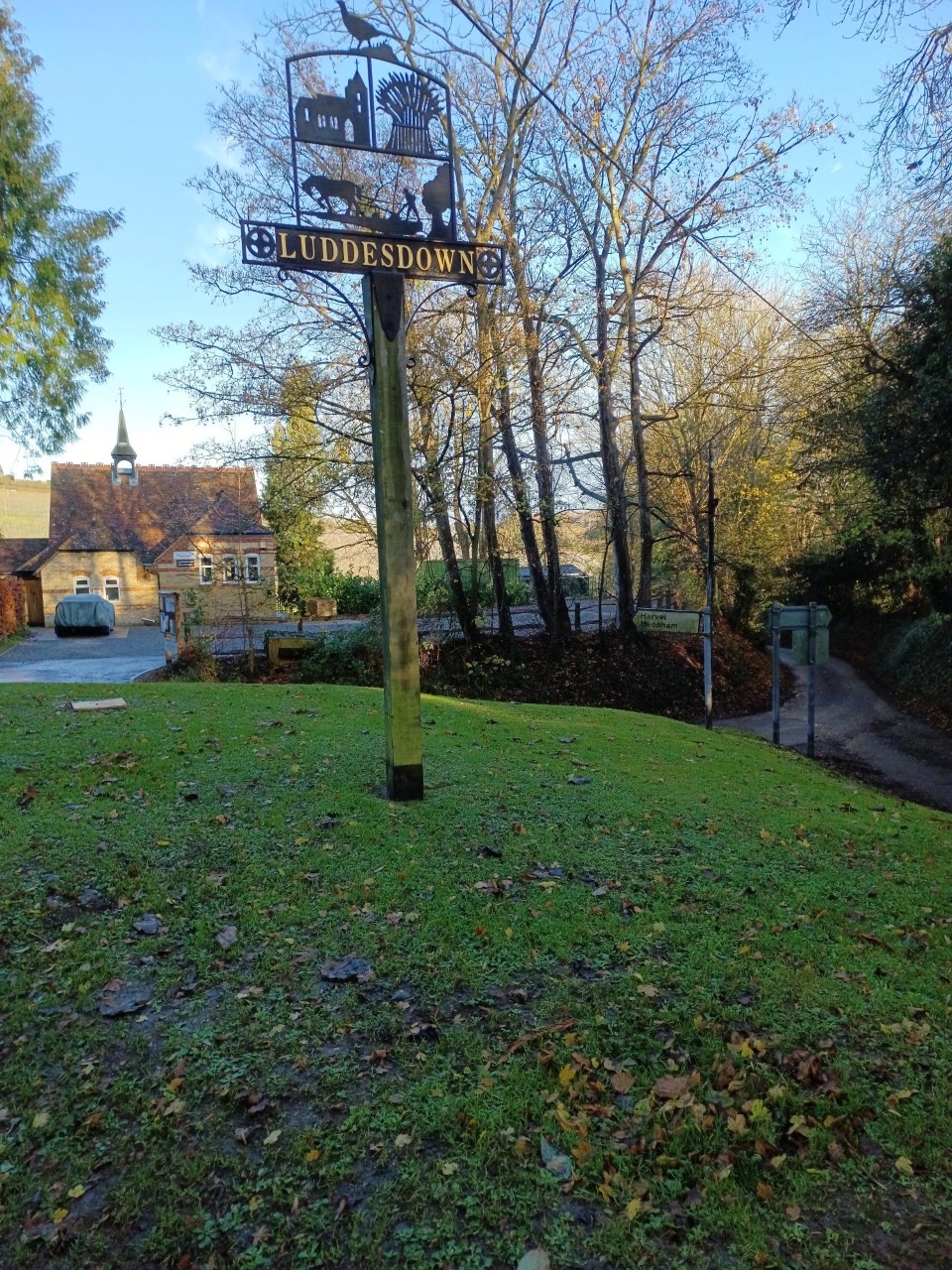
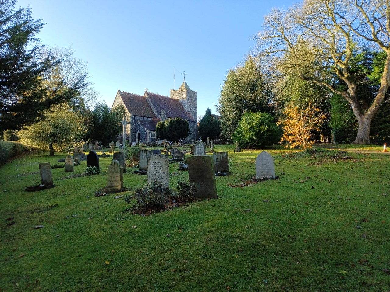
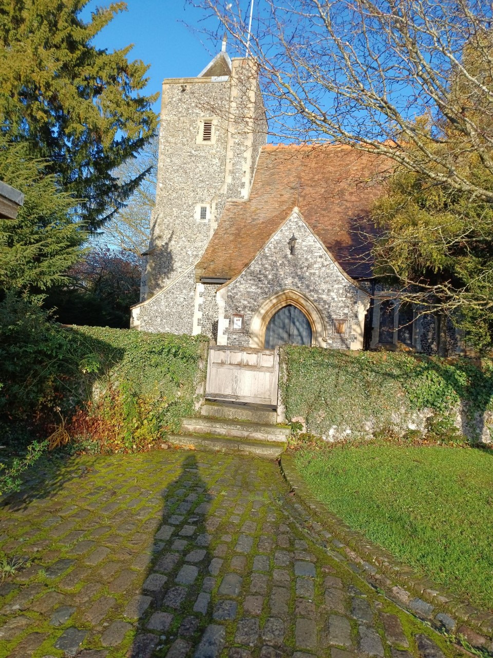
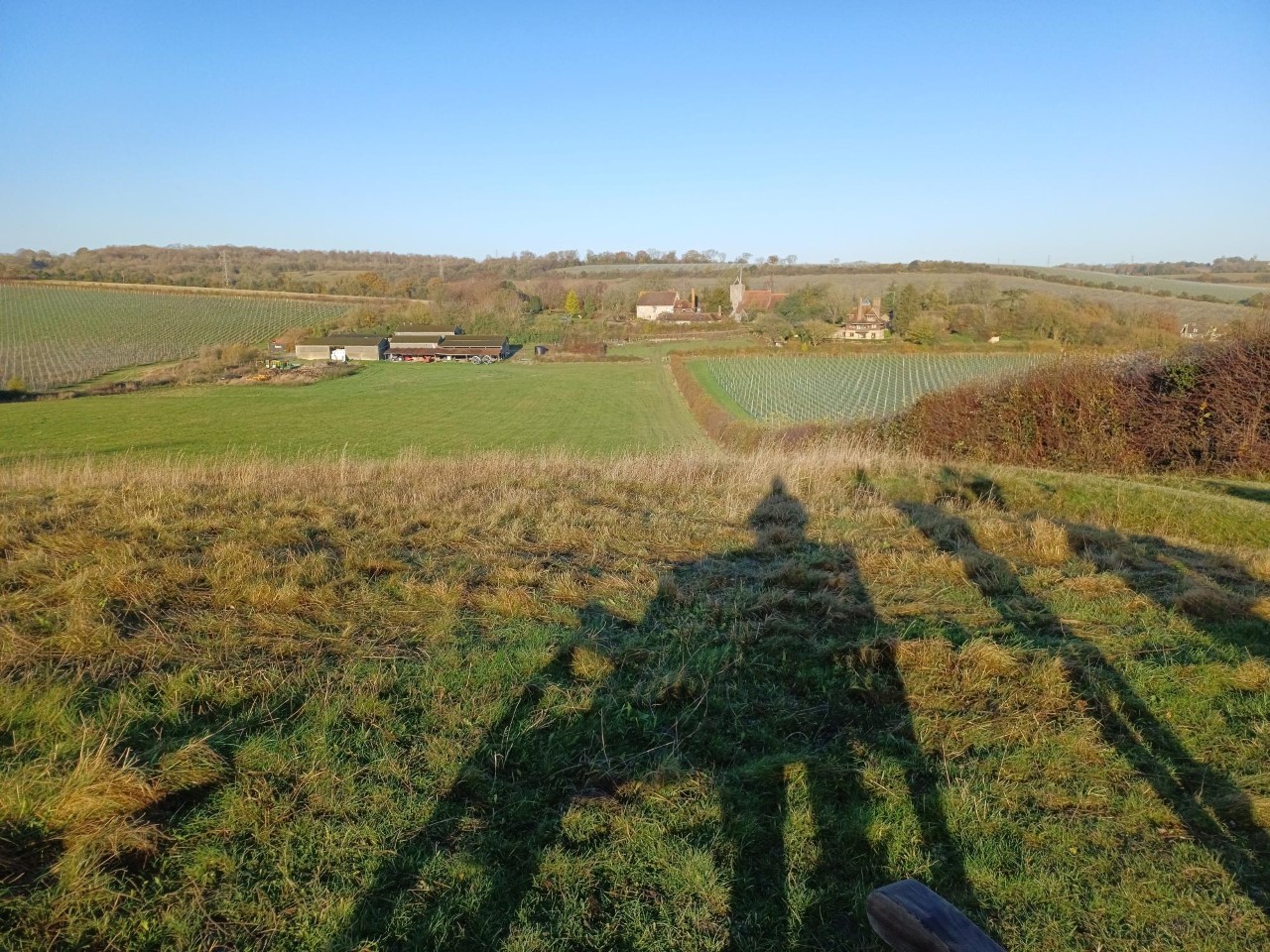
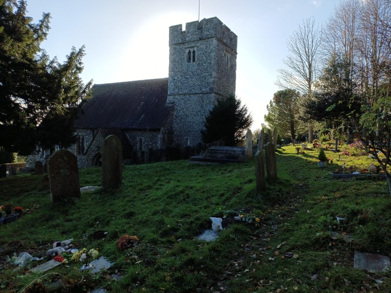
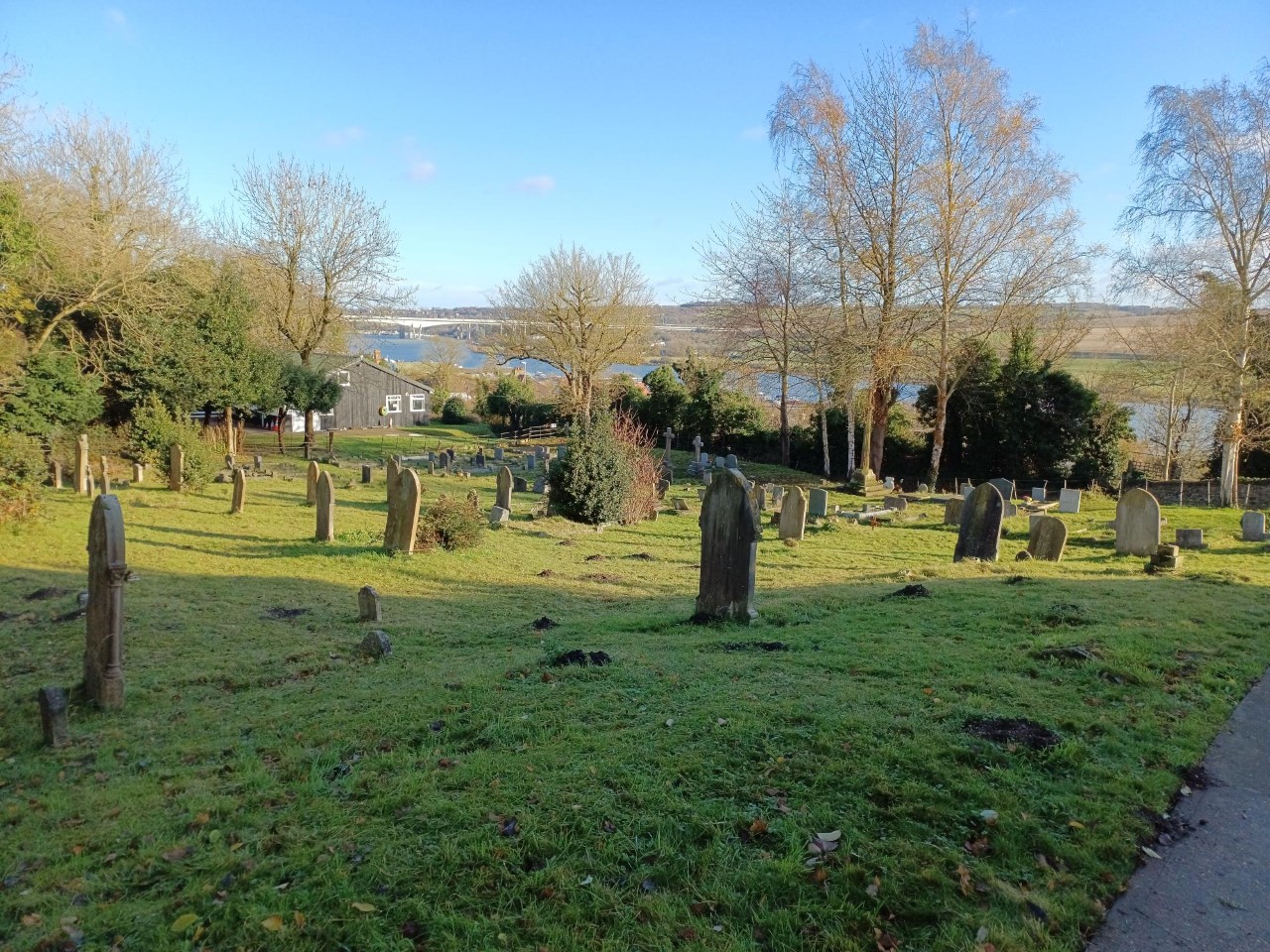
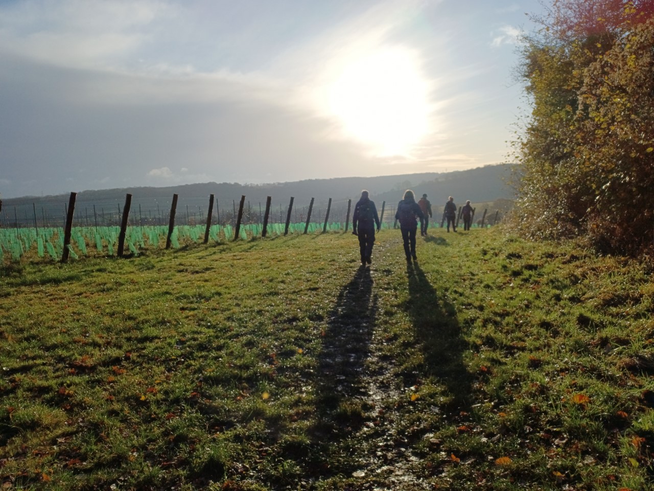
A glorious day full of winter sun with teeth. We were soon on the Wealdway to the lovely village and church of Luddesdown. The field areas south and east in the sheltered hill sides and valleys has been converted into massive vineyards. Several loops made the most of the vast amount of wooded downs in the area before our descent to Cuxton church for lunch.
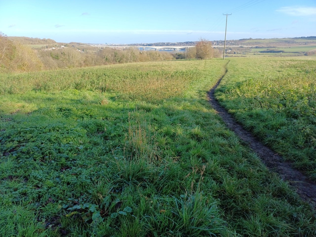
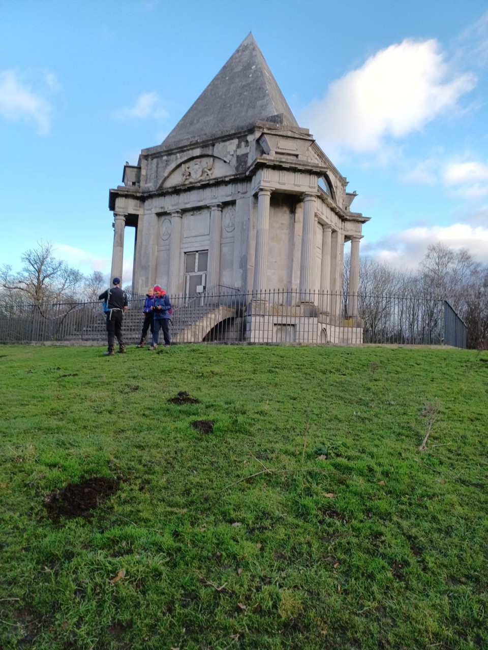
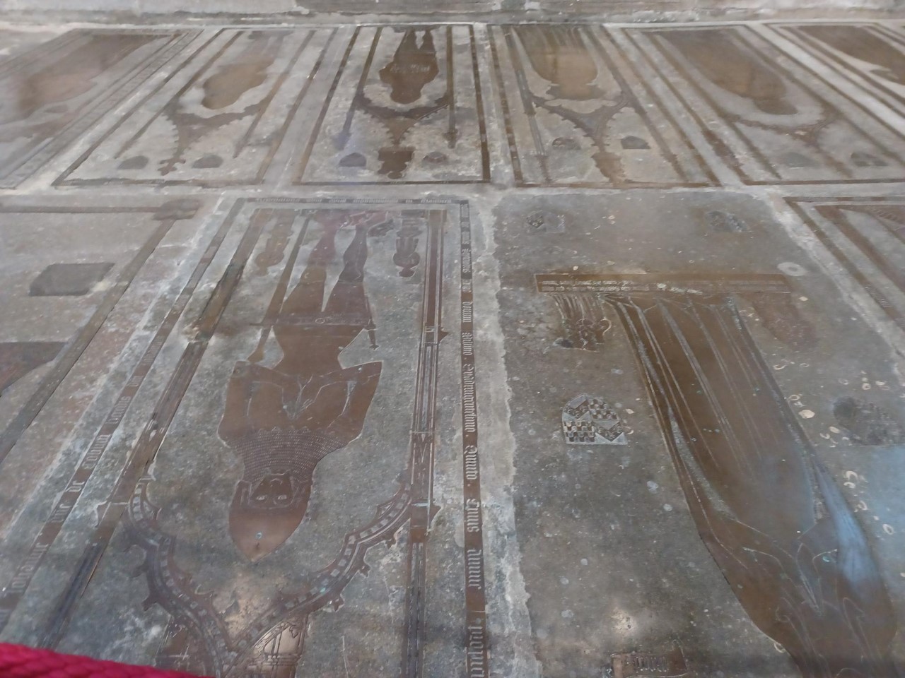
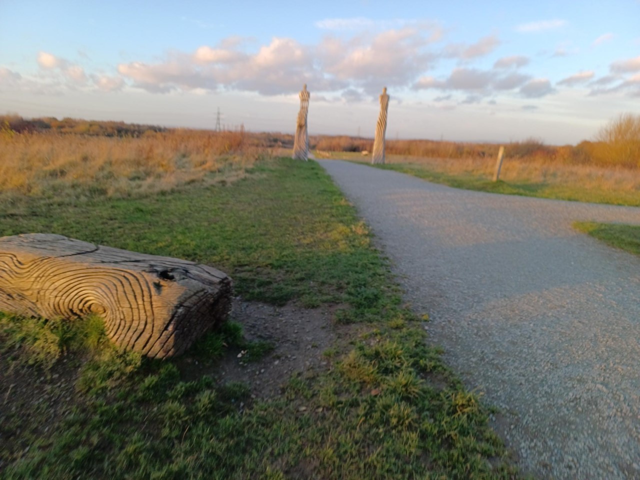
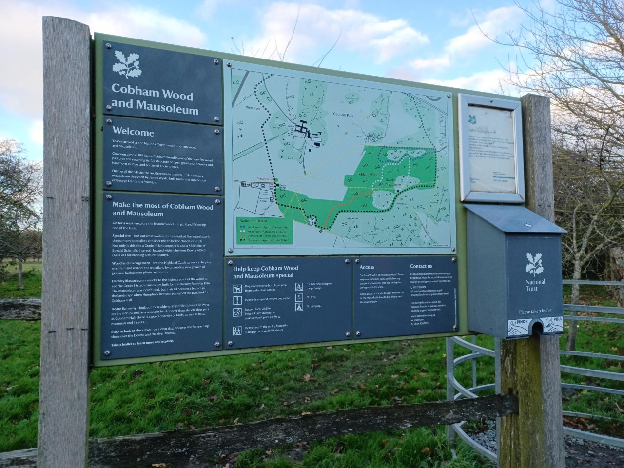
A short section of the North Downs Way with great views of the Medway, the bridges and Rochester beyond. Another long loop around Cobham Park to the restored Darnley mausoleum and into Cobham with its Dickens associations as he used to walk in the area and frequent the local pubs; the small village still seems to have three going concerns which is quite unusual nowadays. The church has a huge collection of brasses and some elaborate stonework. A final stretch through Jeskyns Community Park with its many architectural features and the only time in the day when we met any other walkers. Perfect timing as we finished with the last drop of light and just as the 4.35 train arrived.
Photographs by Jerome Ripp
Other Files
Download Walk ReportGPX
A GPX file of the above route may be downloaded by clicking the link below.
Note: GPX files of Group Walks are created by LDWA Group members, and may be downloaded only by other LDWA members. They should not be made available outside the LDWA, and are used at members' own risk.
Login to Download (Members Only)You can use the interactive controls to zoom in and out and to move around the map, or click on a path or a marker for more info. (interactive map help)
You can use the interactive controls to zoom in and out and to move around the map, or click on a path or a marker for more info. (interactive map help)
© OpenStreetMap contributors under Open Database Licence
Rights of way data from selected Local Authorities
Large scale digital mapping is provided by John Thorn
At high zoom levels the route is indicative only.
Gallery
Maps:
You can use the interactive controls to zoom in and out and to move around the map, or click on a marker for more info. (interactive map help)
© OpenStreetMap contributors under Open Database Licence.
Rights of way data from selected Local Authorities.
Large scale digital mapping is provided by John Thorn.


