


MBFYB
Sat 22nd Jan 2022
Walk Details:
Thames path, Chiltern hills, woodlands, villages and more. The walk is based on previous walks that I have led but there has not been a recent recce; there may be some surprises!
Entry Details:
Walk Report
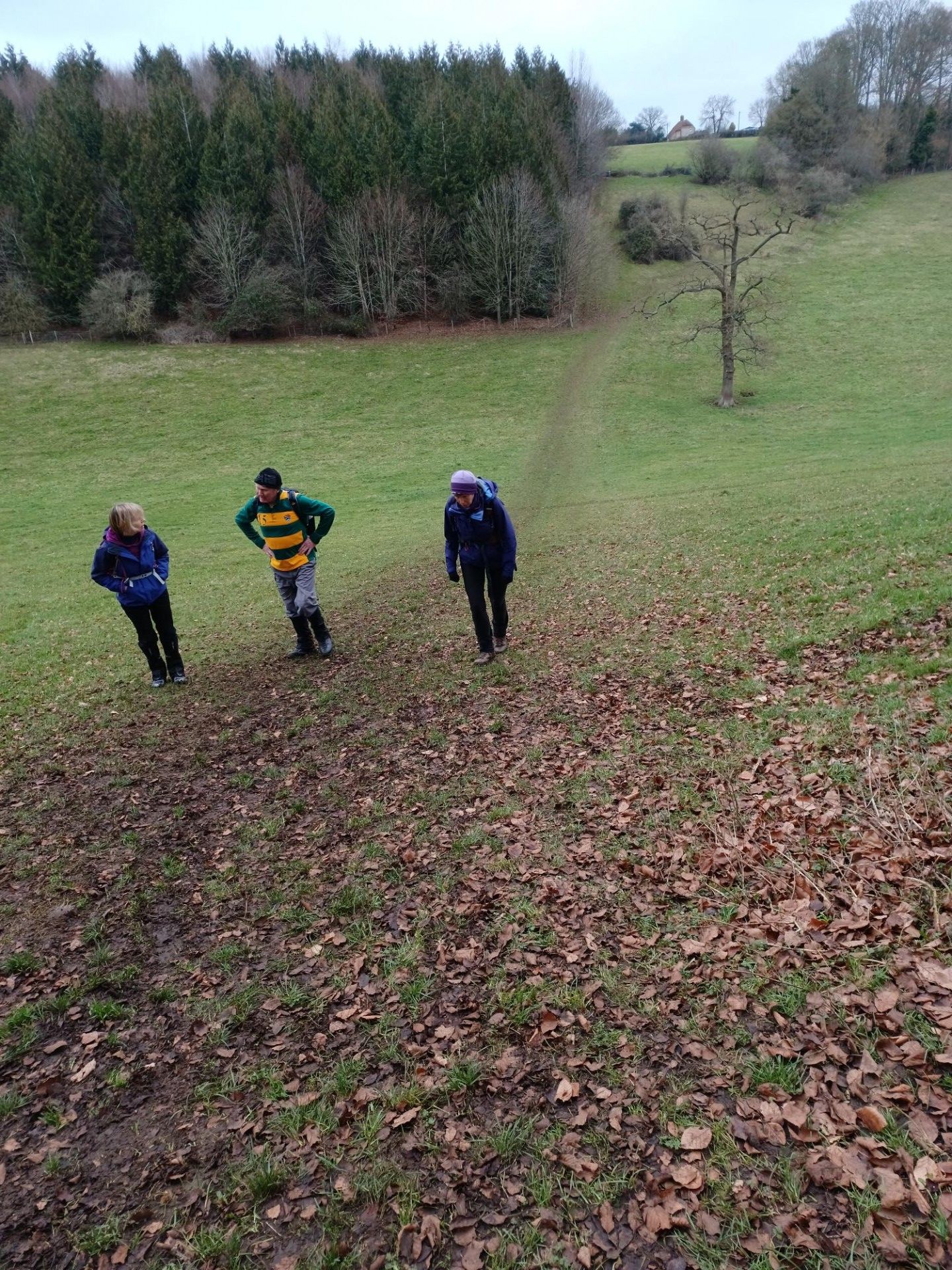
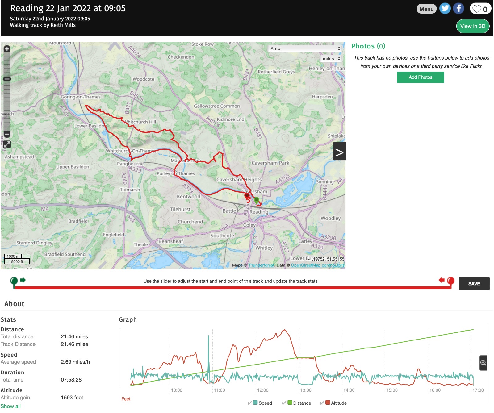
MBFYB (Reading Circular), Saturday 22nd January 20229 walkers, 21.5 miles - leader Jerome Ripp
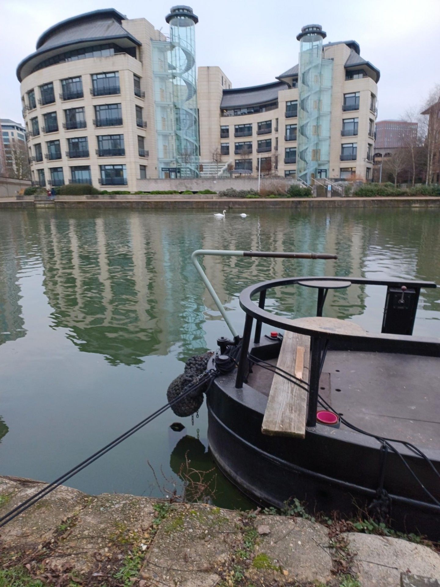
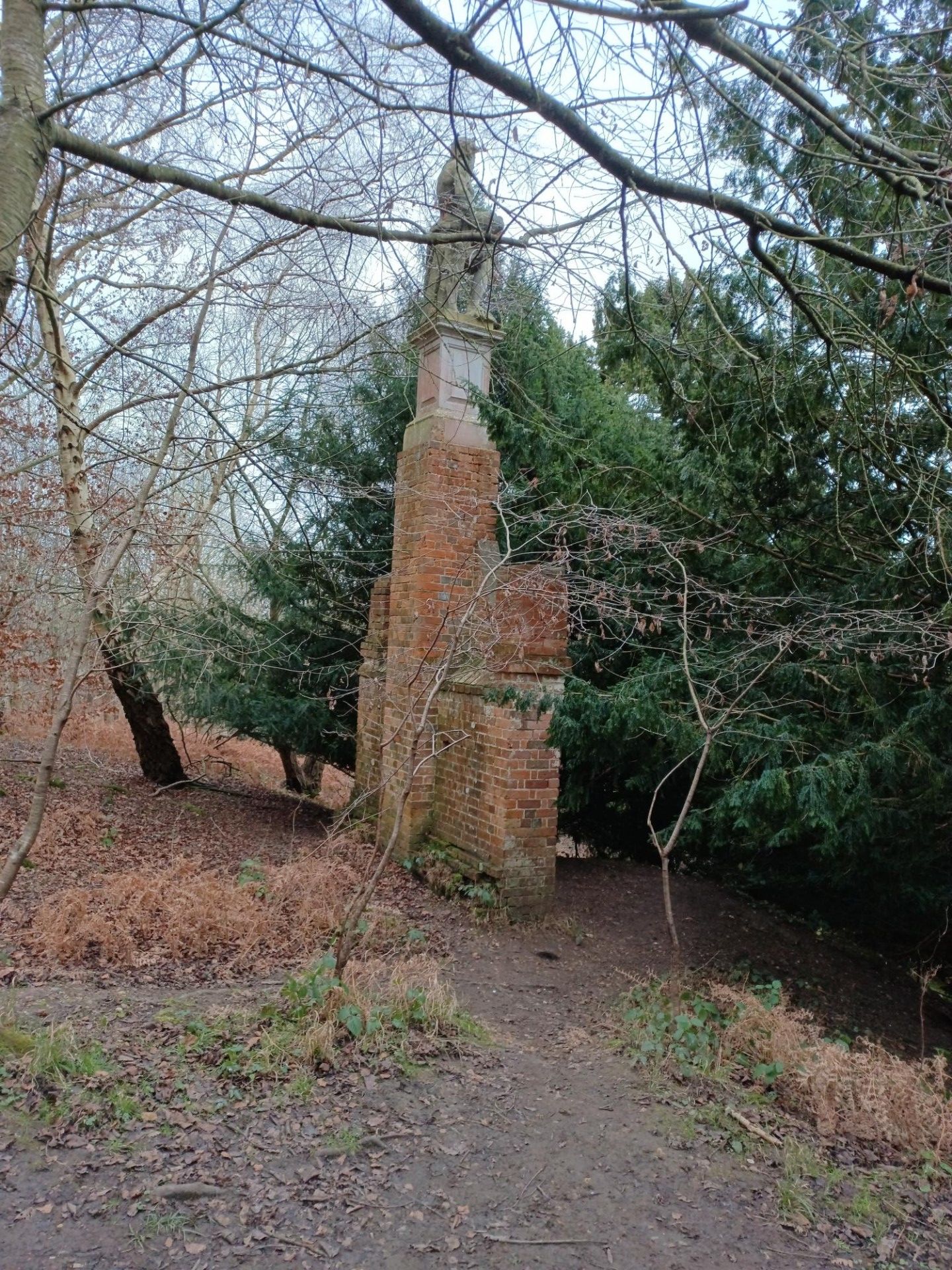
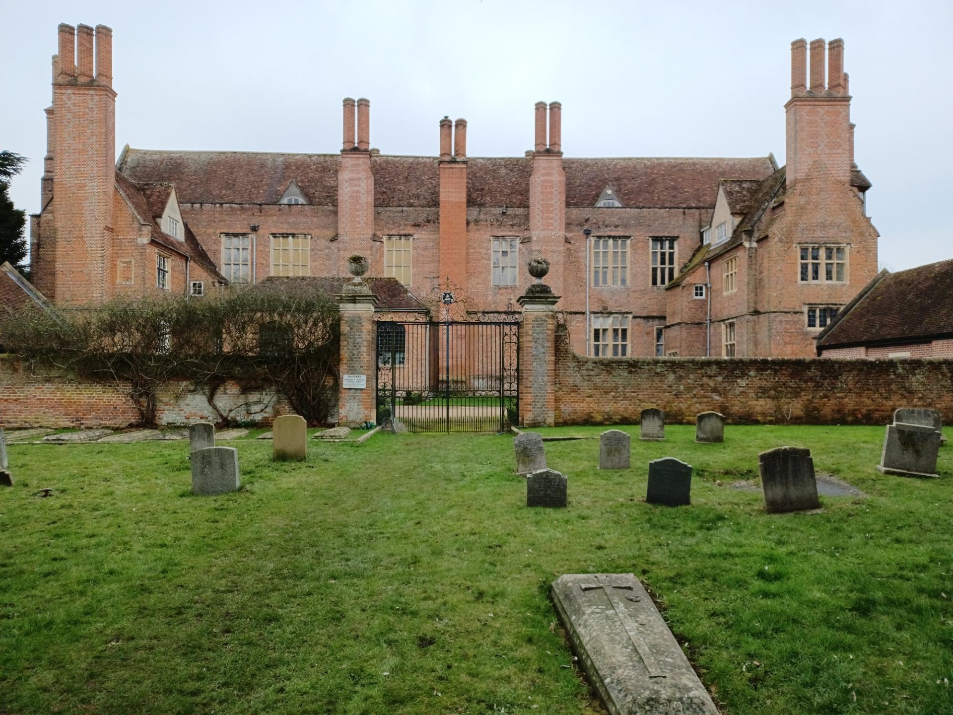
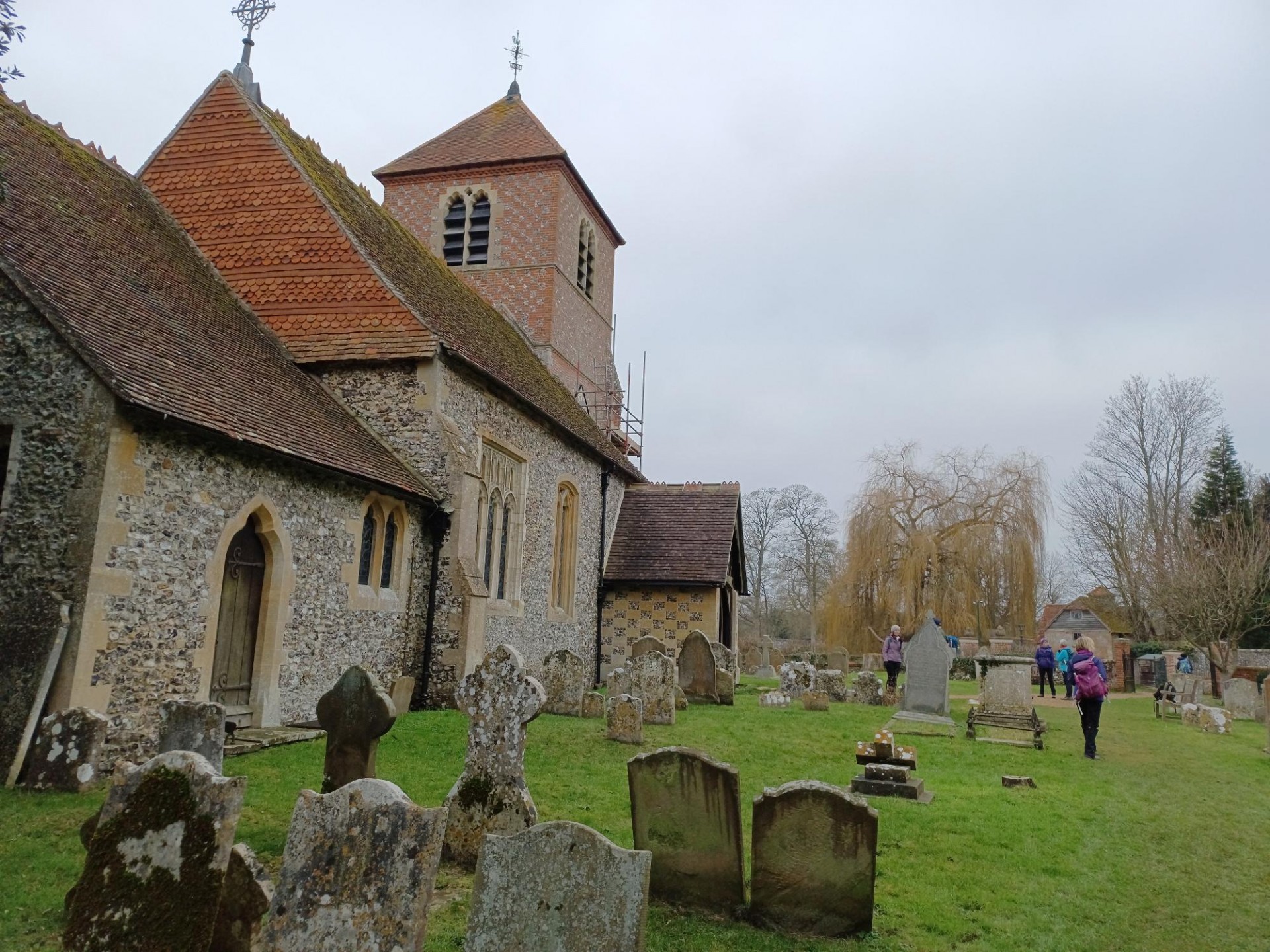
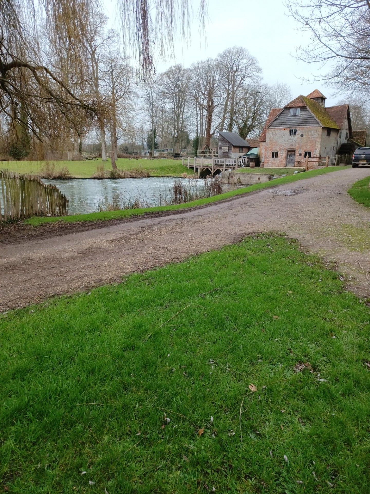
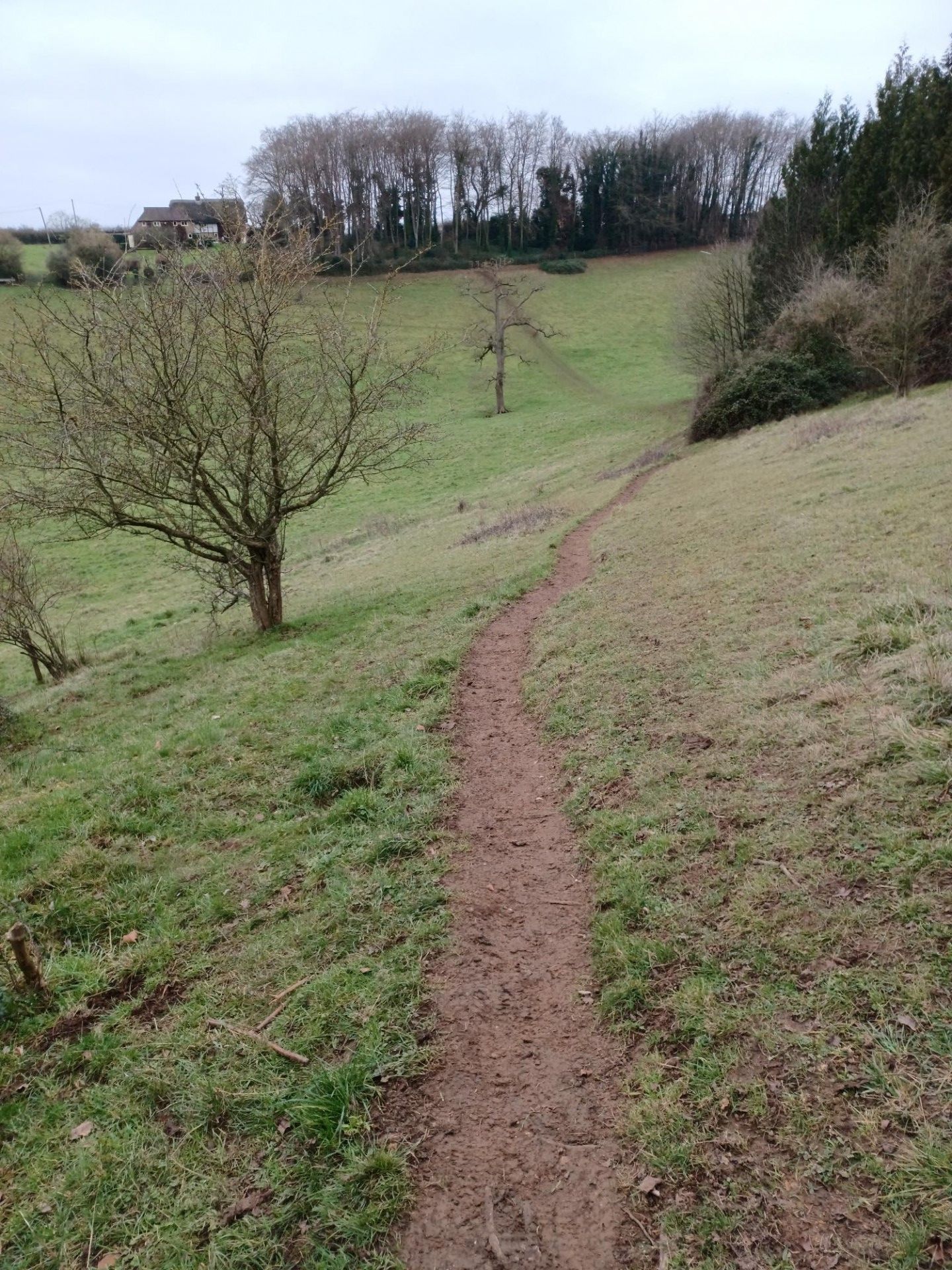
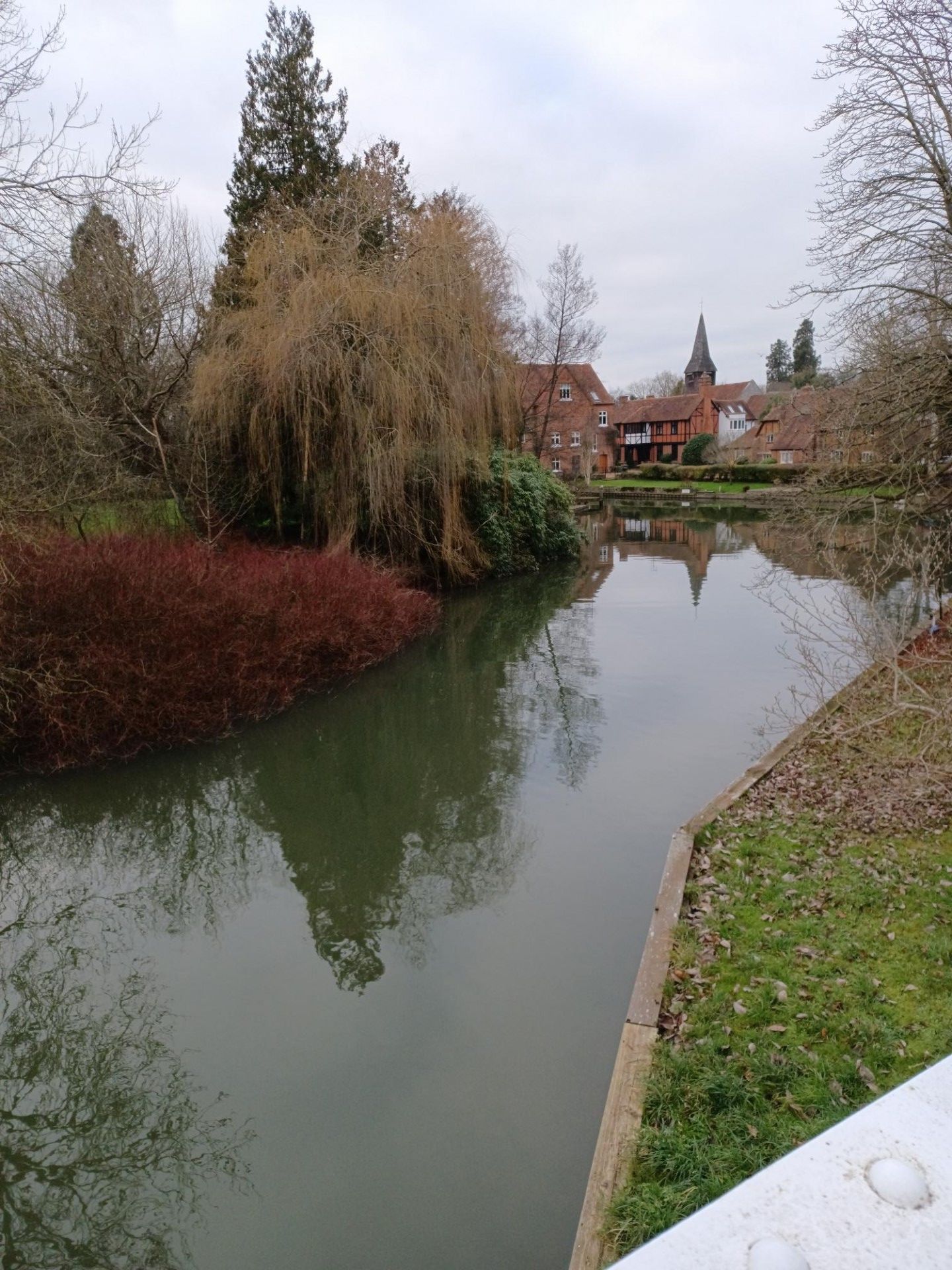
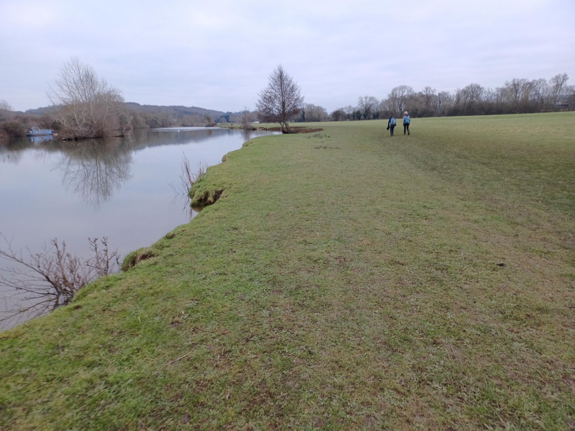
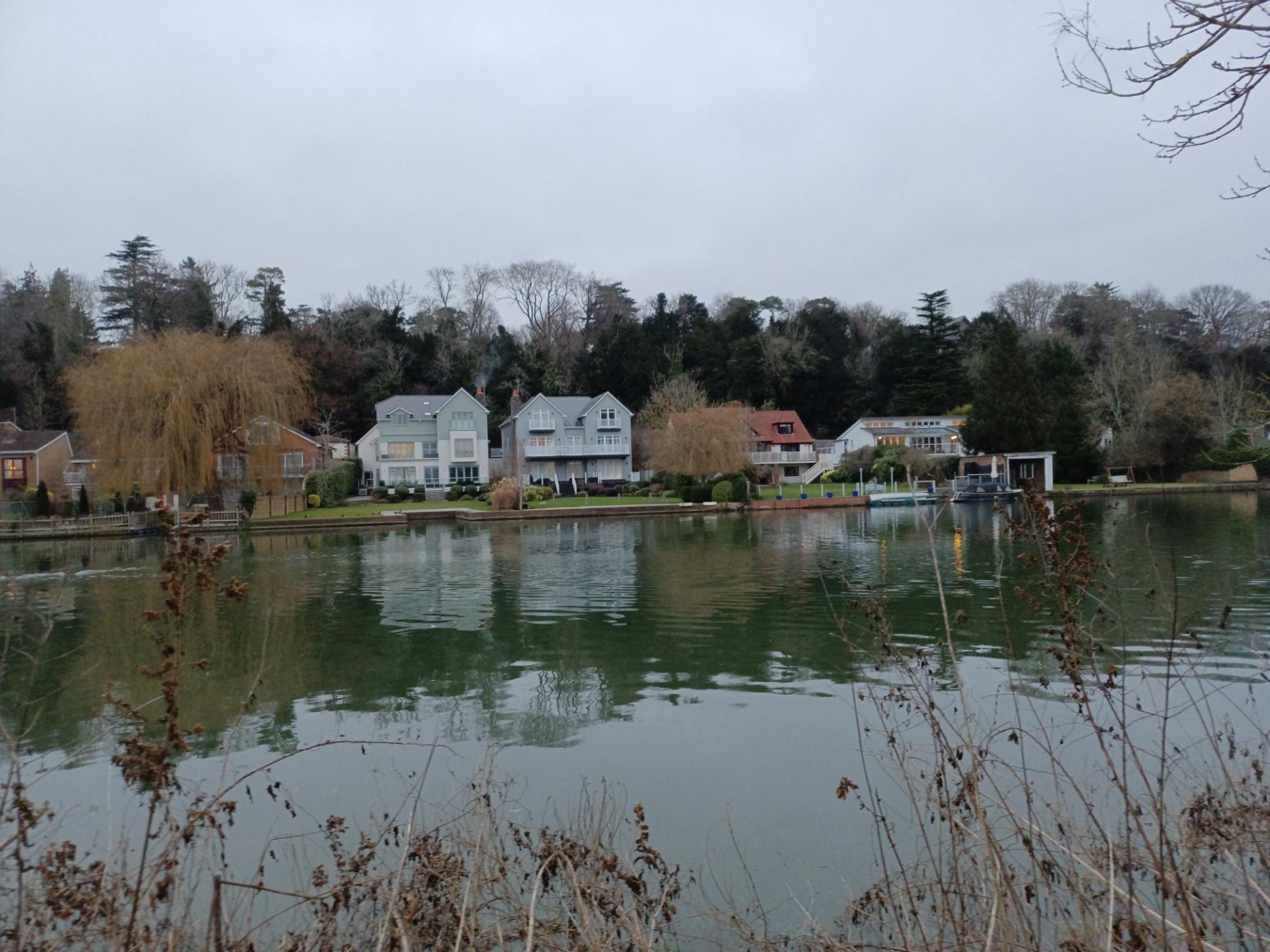
The morning was spent north of the river on the Chiltern Way, a break at Mapledurham church, a stiff climb up Straw Hill to see one of the classic Thames views, a long stretch of relatively mud-free wooded hillsides and al fresco lunch on the steep slopes above Hatton Hill with another great Thames view. The afternoon was on the Thames Path east to Whitchurch church then south of the river to follow through Tilehurst and return. Good to see a few new people, we were fortunate with decent weather if a touch grey and when we returned to Reading station just after 5pm one of the Regulars commented that on this walk it was definitely "More Bang For Your Buck"
Photographs by Jerome Ripp
Other Files
Download Walk ReportGPX
A GPX file of the above route may be downloaded by clicking the link below.
Note: GPX files of Group Walks are created by LDWA Group members, and may be downloaded only by other LDWA members. They should not be made available outside the LDWA, and are used at members' own risk.
Login to Download (Members Only)You can use the interactive controls to zoom in and out and to move around the map, or click on a path or a marker for more info. (interactive map help)
You can use the interactive controls to zoom in and out and to move around the map, or click on a path or a marker for more info. (interactive map help)
© OpenStreetMap contributors under Open Database Licence
Rights of way data from selected Local Authorities
Large scale digital mapping is provided by John Thorn
At high zoom levels the route is indicative only.
Gallery
Maps:
You can use the interactive controls to zoom in and out and to move around the map, or click on a marker for more info. (interactive map help)
© OpenStreetMap contributors under Open Database Licence.
Rights of way data from selected Local Authorities.
Large scale digital mapping is provided by John Thorn.


