


Greenwich parks and river circular
Sat 15th Jan 2022
Walk Details:
Via Greenwich Park, Oxleas Wood and Plumsted Common to Thames Barrier and back along the Thames Path
Entry Details:
Walk Report
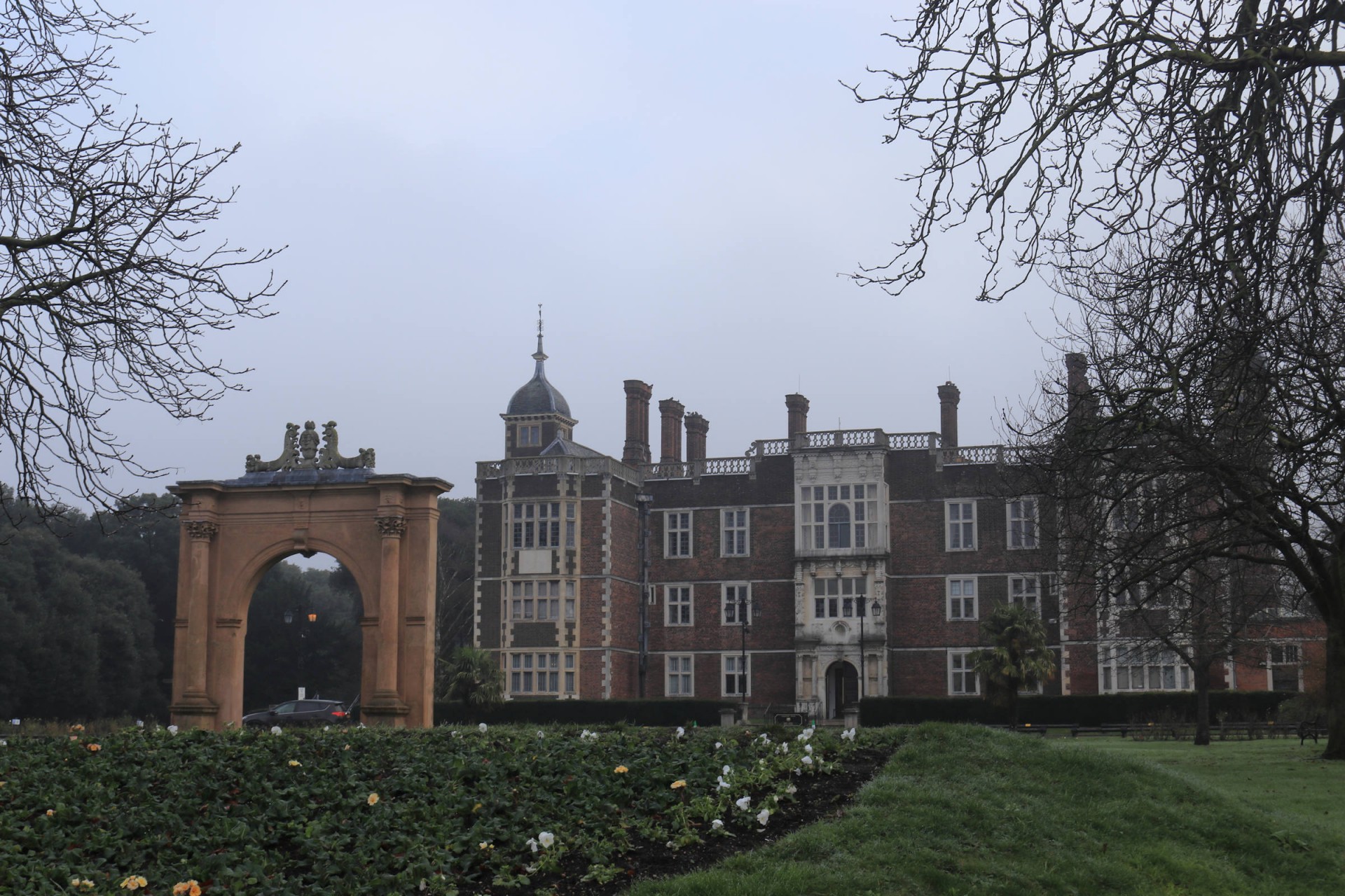
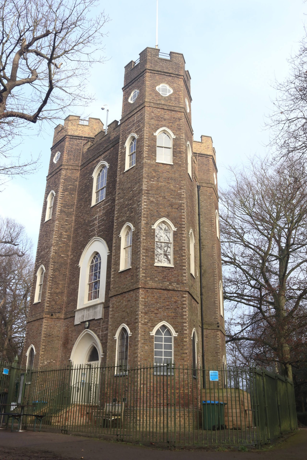
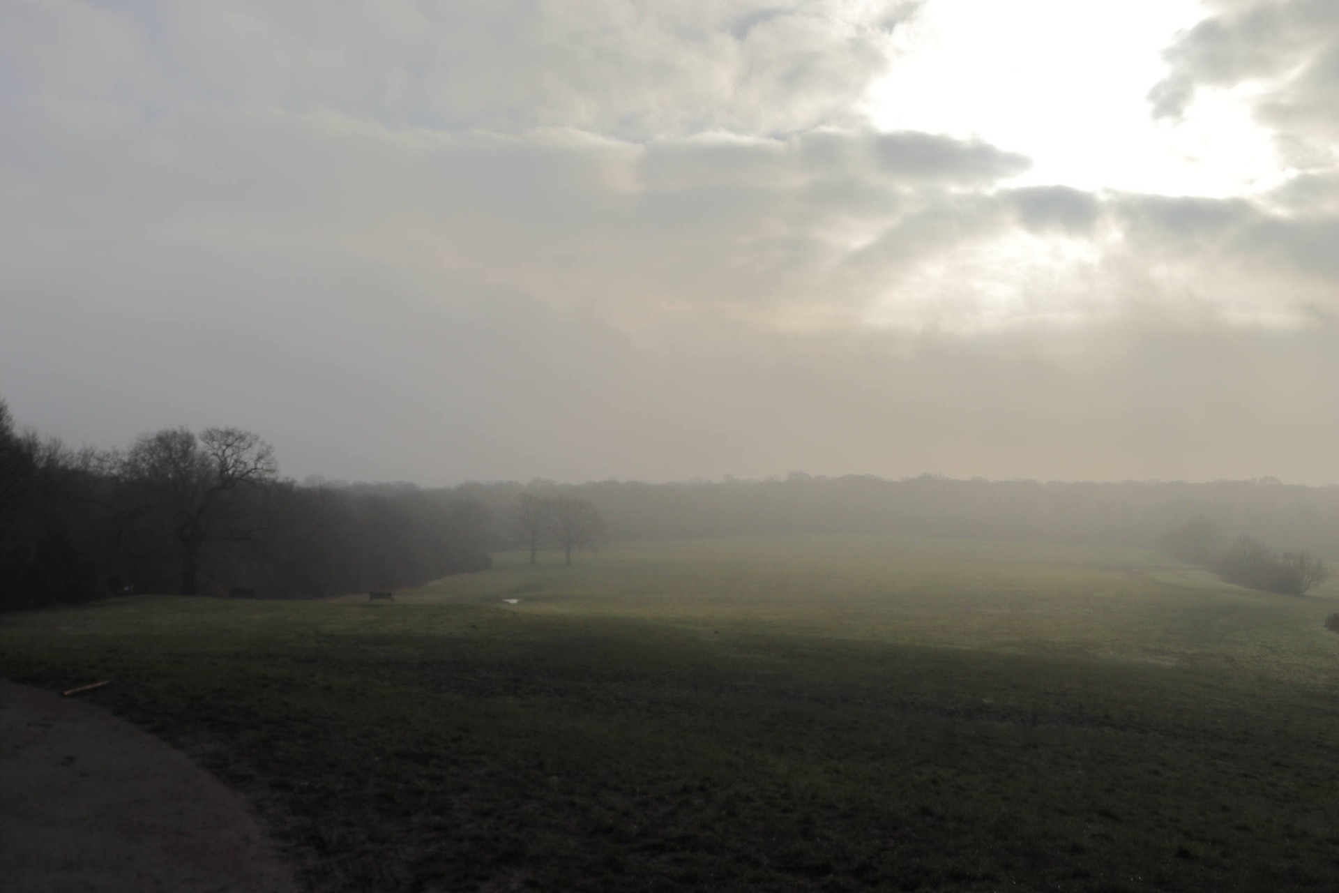
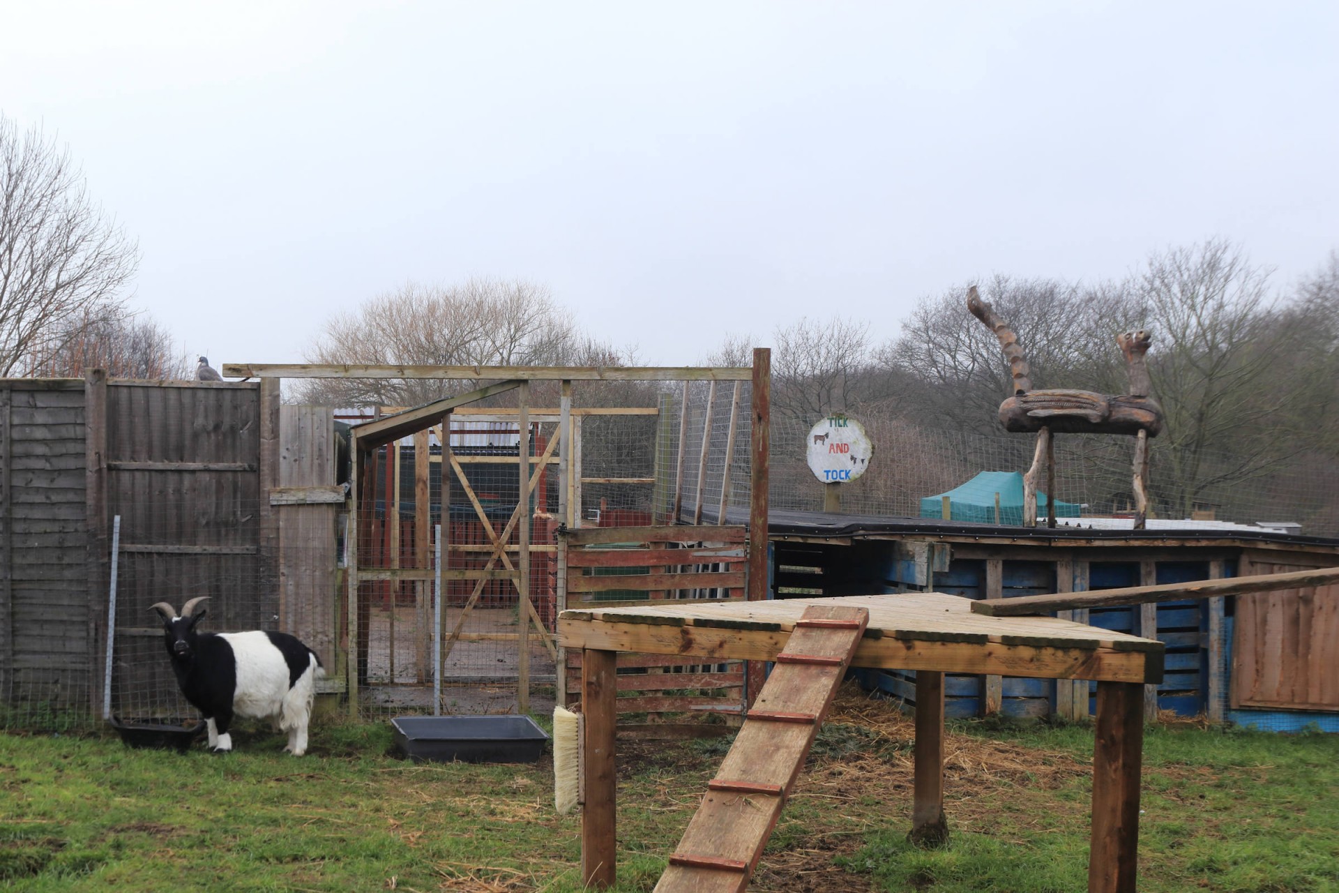
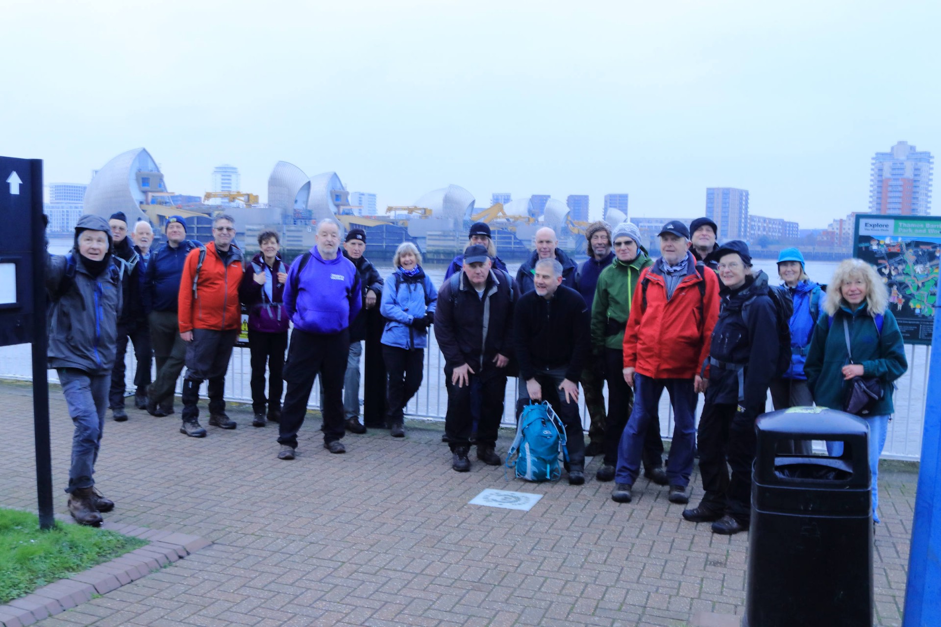
Greenwich Parks and River Circular, Saturday 15th January 202223 walkers, 17 miles - leader Lonica Vanclay
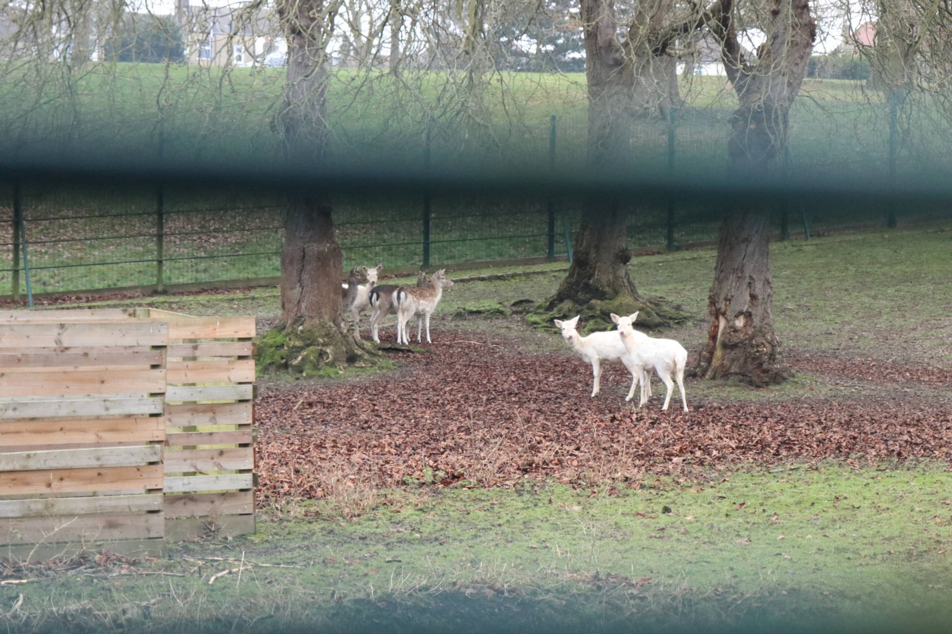
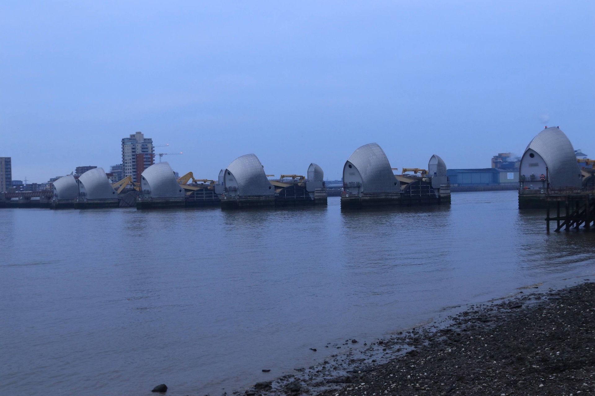
23 of us set off from Cutty Sark and walked 17 miles through Greenwich Park to Oxleas Wood then on via East Wickham open space and Bostall Wood before heading back through Maryon Park to the Thames Barrier and back along the river.
Lots of chat helped with the inevitable stretches of urban tarmac and housing - but for somewhere so central, there was a surprising amount of green. The mud verdict - not too bad!
Unfortunately the clouds never really lifted so we did not have the pleasure of seeing the views north and south - but there were plenty of trees and an array of modern architecture to admire - and of course the longest continuous Georgian building facade in the UK in the shape of the Royal Artillery Barracks at Woolwich.
Photographs by Gavin Fuller
Other Files
Download Walk ReportGPX
A GPX file of the above route may be downloaded by clicking the link below.
Note: GPX files of Group Walks are created by LDWA Group members, and may be downloaded only by other LDWA members. They should not be made available outside the LDWA, and are used at members' own risk.
Login to Download (Members Only)You can use the interactive controls to zoom in and out and to move around the map, or click on a path or a marker for more info. (interactive map help)
You can use the interactive controls to zoom in and out and to move around the map, or click on a path or a marker for more info. (interactive map help)
© OpenStreetMap contributors under Open Database Licence
Rights of way data from selected Local Authorities
Large scale digital mapping is provided by John Thorn
At high zoom levels the route is indicative only.
Gallery

Maps:
You can use the interactive controls to zoom in and out and to move around the map, or click on a marker for more info. (interactive map help)
© OpenStreetMap contributors under Open Database Licence.
Rights of way data from selected Local Authorities.
Large scale digital mapping is provided by John Thorn.


