


Wimbledon to the City
Sat 18th Dec 2021
Walk Details:
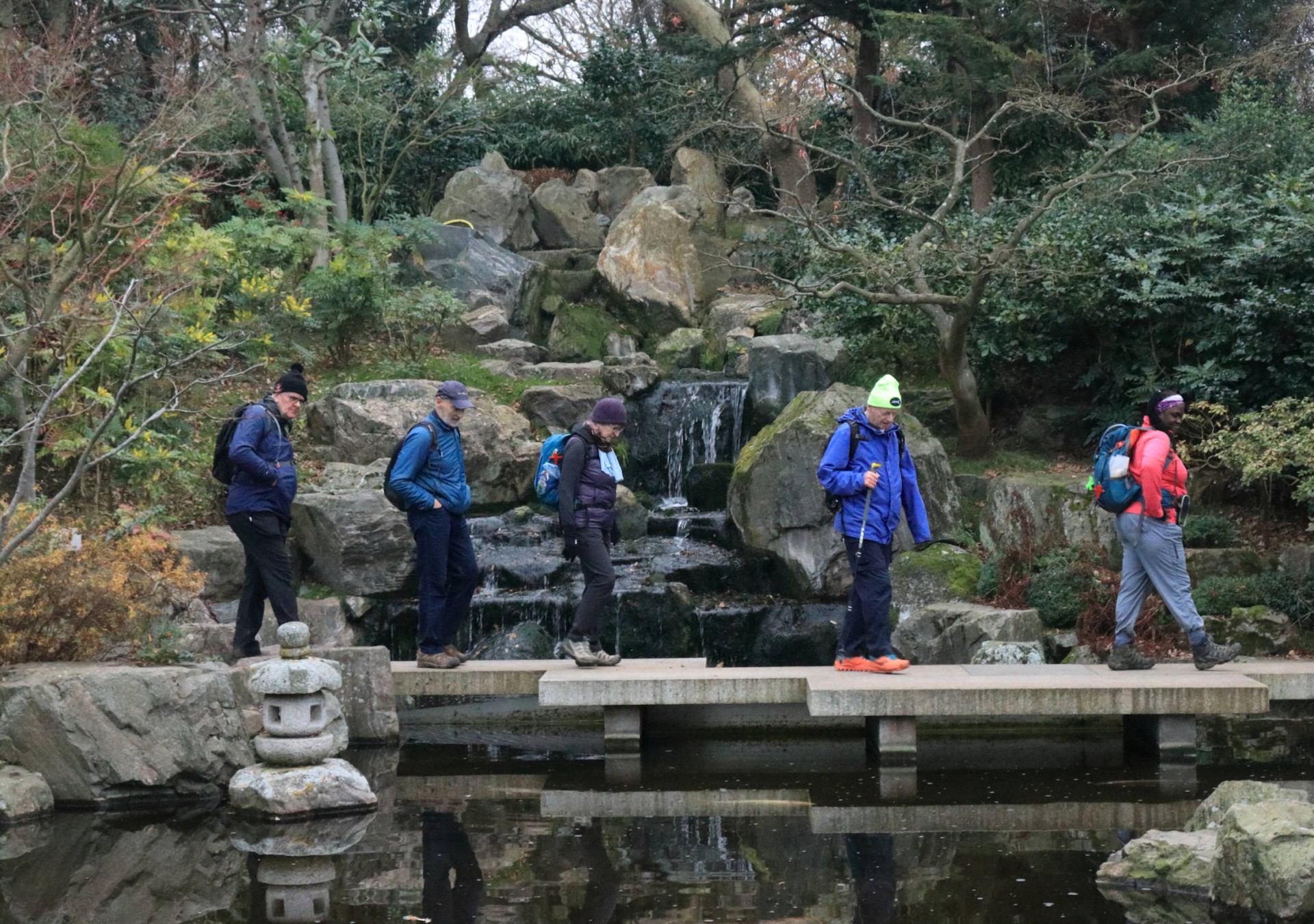
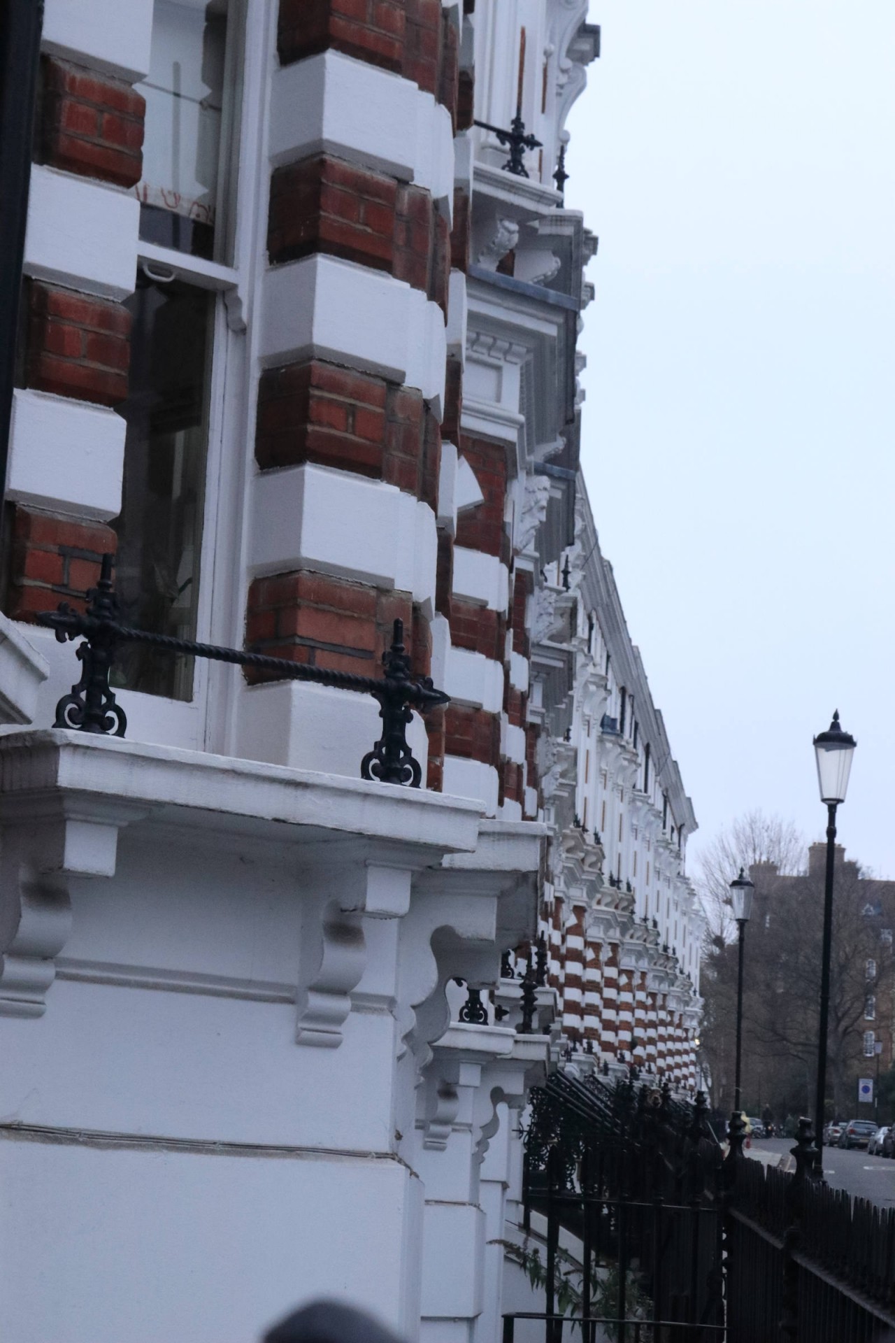
The route takes us over Wimbledon Common and into Richmond Park to follow the Beverley Brook Trail via Palewell Common to Barnes Common. Crossing the River Thames at Barnes we head to Hammersmith and then through Holland Park, Kensington Gardens, Hyde Park, Green Park, St Jamess Park and to Trafalgar Square for a West End and Riverside walk to The City
Entry Details:
Walk Report
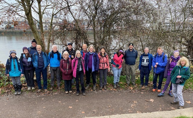
Wimbledon to the City, Saturday 18th December 202118 walkers, 18 miles - leader Keith Lane
I realise that members of London LDWA are a resourceful and resilient bunch but I didn't expect as many as 17 would join me at Wimbledon station despite the Omicron Covid variant and a Tube Strike.
The route from the station followed alleyways and side-streets up to Wimbledon Common and the highest point of the walk (180 feet). As Gavin (our borough tops expert) was on the walk I was keen to point this out with my prediction that the lowest point would be when we got hopelessly lost on Barnes Common. This wasn't the case but the lowest point was near Barnes North of the river which is only 10 feet above sea level where a group photo was taken.
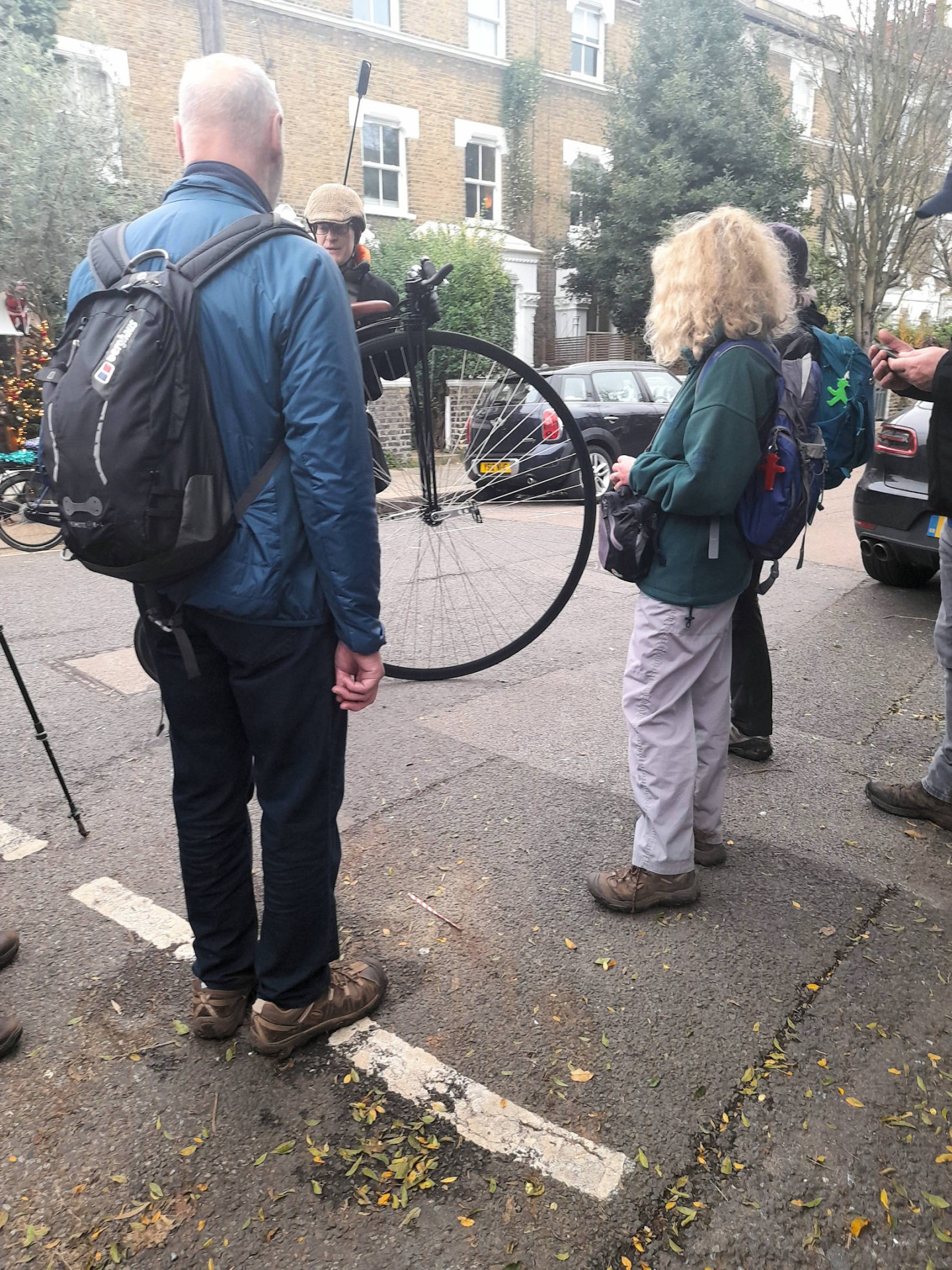
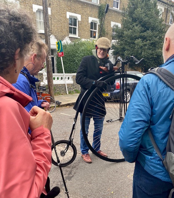
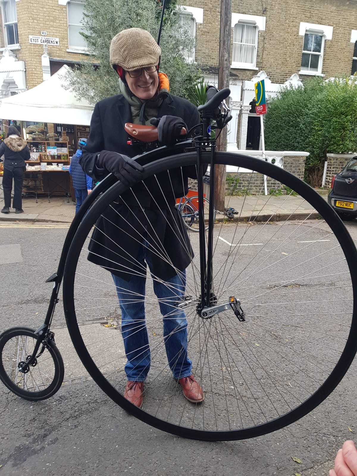
At Chiswick it turned out we were not the most annoying group on the traffic-free road as there was a mass cycle ride of 500 including Jeremy Vine on his Penny-farthing who gave us a skilled and athletic demonstration on how to mount and ride the bike.
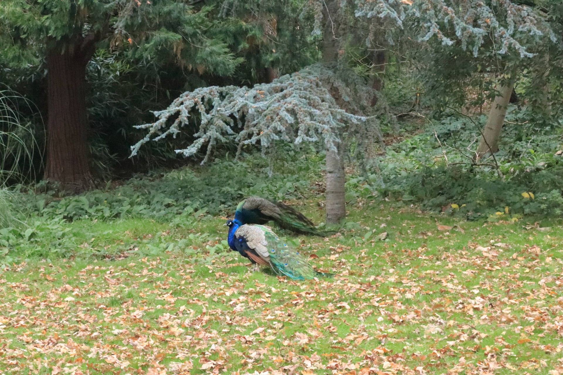
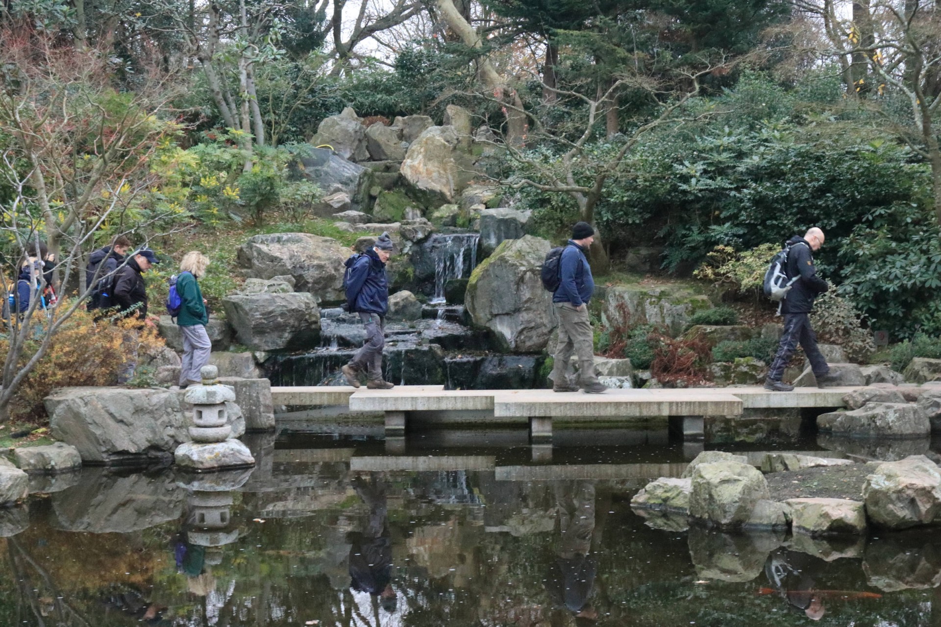
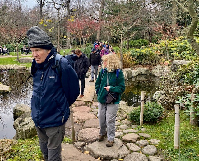
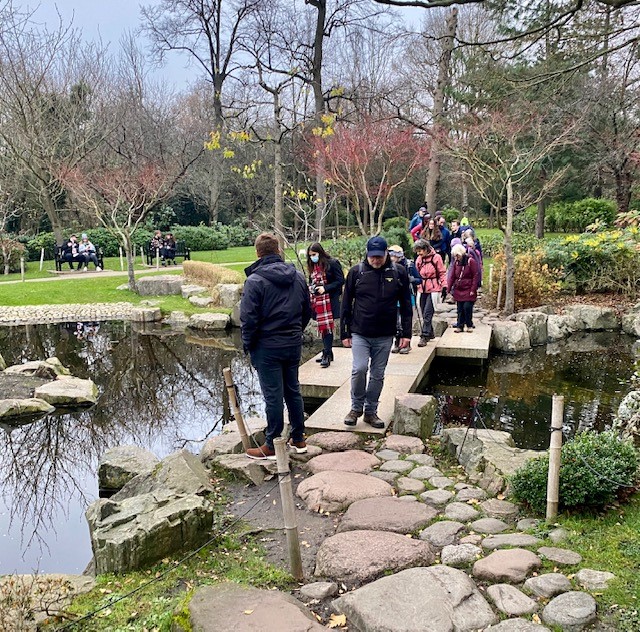
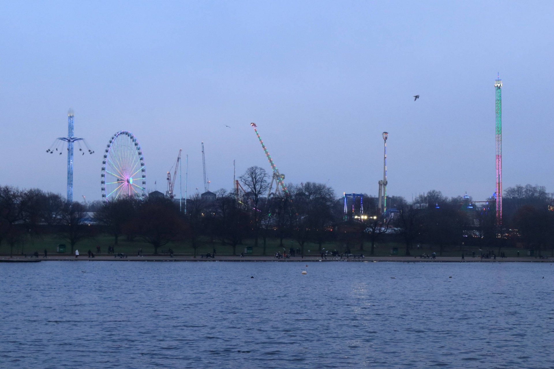
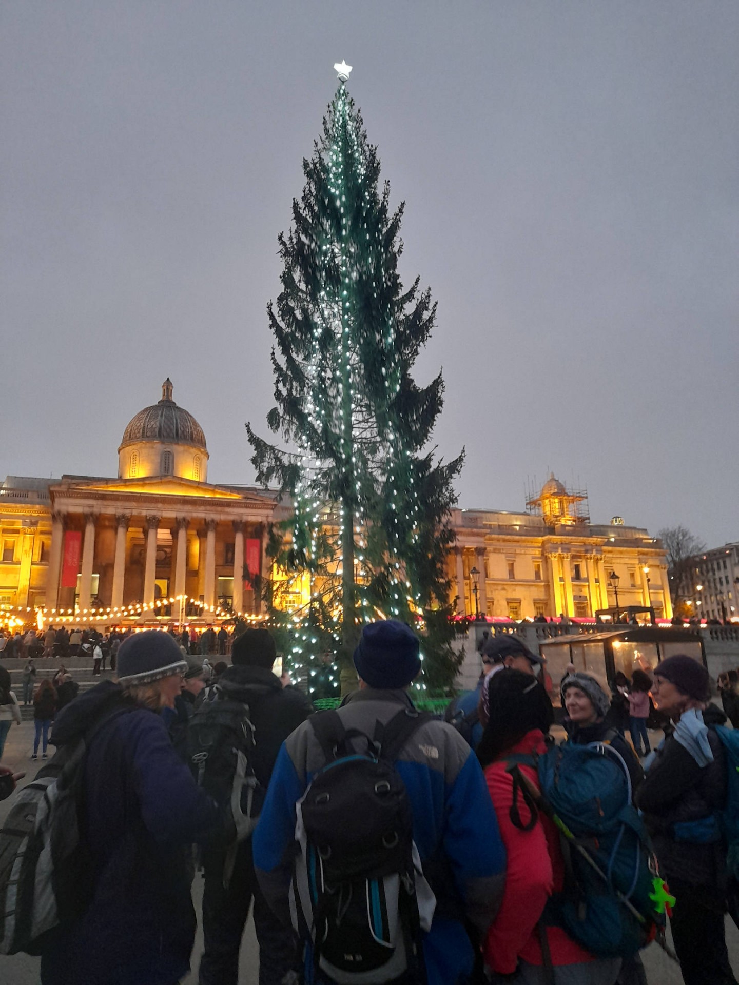
Lunch was in various venues in Hammersmith and following that we proceeded to Holland Park, Kensington Gardens, Hyde Park (the possible tea stop at the Serpentine was not taken up), past Winter Wonderland and, into Green Park and on to St James's Park.
At Trafalgar Square there was Covid hesitancy in proceeding along my proposed walk through the West End and the majority of walkers finished the walk at Charing Cross station with remainers heading for the River Thames and subsequent stations. Due to the circumstances on the day the end of the walk officially finished at London Bridge with 2 walkers completing 18 miles.
Despite Covid, the Tube drivers' strike and the planned Christmas drinks abandoned, I felt we had an enjoyable, light-hearted and friendly day's walk. Happy Christmas to one and all.
Photographs by Gavin Fuller, Keith Lane and Bola Baruwa
Other Files
Download Walk ReportGPX
A GPX file of the above route may be downloaded by clicking the link below.
Note: GPX files of Group Walks are created by LDWA Group members, and may be downloaded only by other LDWA members. They should not be made available outside the LDWA, and are used at members' own risk.
Login to Download (Members Only)You can use the interactive controls to zoom in and out and to move around the map, or click on a path or a marker for more info. (interactive map help)
You can use the interactive controls to zoom in and out and to move around the map, or click on a path or a marker for more info. (interactive map help)
© OpenStreetMap contributors under Open Database Licence
Rights of way data from selected Local Authorities
Large scale digital mapping is provided by John Thorn
At high zoom levels the route is indicative only.
Gallery

Maps:
You can use the interactive controls to zoom in and out and to move around the map, or click on a marker for more info. (interactive map help)
© OpenStreetMap contributors under Open Database Licence.
Rights of way data from selected Local Authorities.
Large scale digital mapping is provided by John Thorn.


