


TUESDAY SOCIAL WALK - CROSTON, RUFFORD AND BRETHERTON
Tue 30th Nov 2021
Walk Details:
The walk starts in Croston - meet at the Railway Station carpark, PR26 9RZ. SD487193. We begin with a quick exploration of the lovely and historic village of Croston. From there we cross Mawdesley Moss to Rufford. I had hoped to visit our first historic house Rufford Hall but it is now on Winter Hours so is closed on Tuesdays! We will have a distant view from the canal. We then follow the Rufford Branch of the Leeds Liverpool canal to Bank Hall to see the progress of the latest restoration of the second historic house. It is then on to Bretherton and back into Croston. A very easy walk with no ascent. No need to book in advance.
Leader: Neil Harwood neilharwo@aol.com 07711 932969
Entry Details:
Walk Report
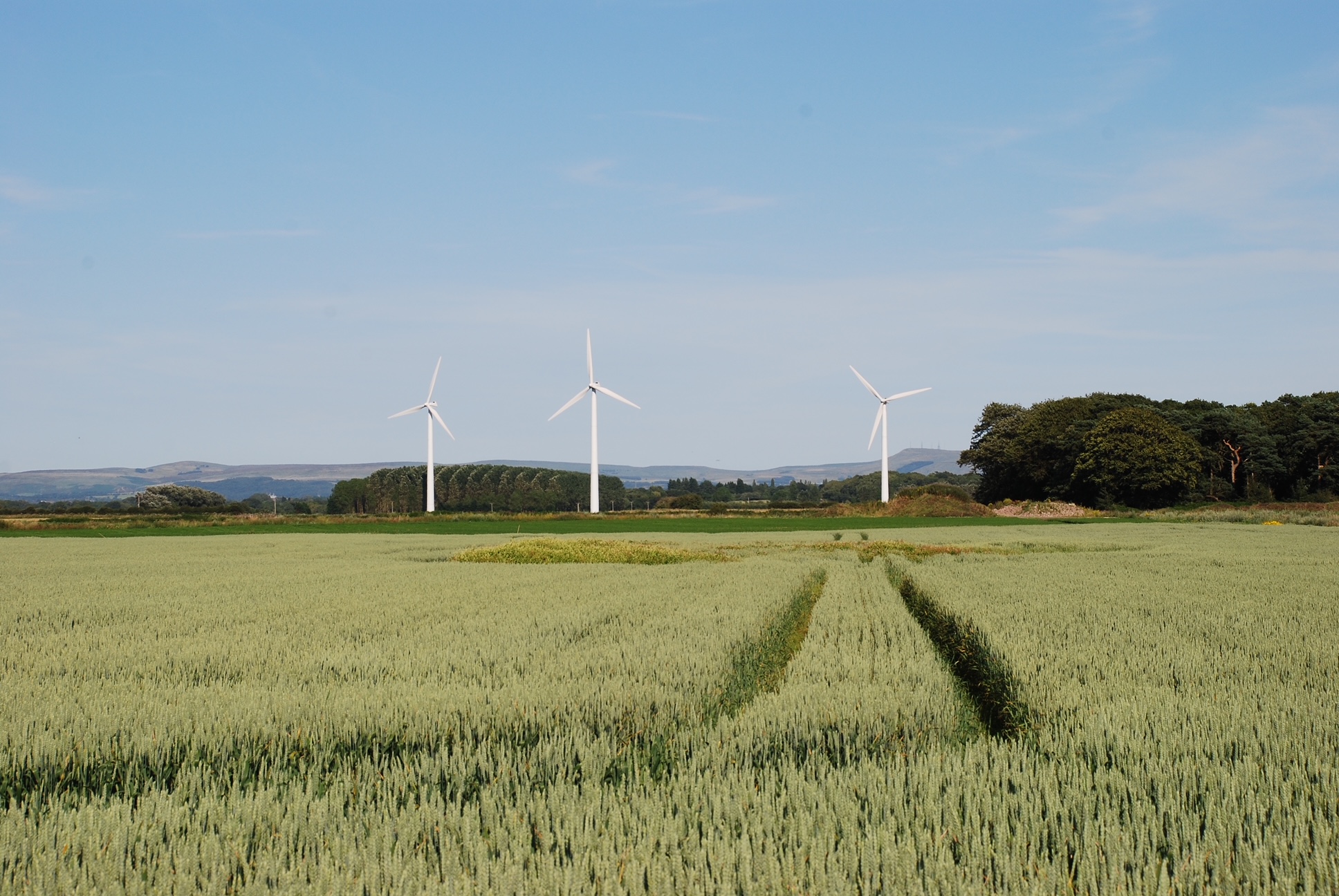
It was lovely to see so many familiar faces at the start of the walk including one relatively new member and several who I had not seen for some time. This was especially so with the recent gales, snow and a dodgy weather forecast. However, the latter never materialised and although cloudy it brightened a little as the day went on and it never rained.The walk is a simple one but perfect for a winter's day and is also surprisingly good under foot. There is no ascent as most of the walk is just above sea level and is dominated by the mosses of the West Lancashire plain. As I explained to the group, which I tend to do a lot and perhaps too much some might say, the area is a product of the last Ice Age and the poorly drained bogs that developed in this low-lying area. It once would have resembled Martin Mere, which is not far away, but since 1800 it has been reclaimed by developing an extensive drainage system and the resultant soils are rich enabling some intensive arable farming. Unfortunately, at this time of year the mosses are largely dormant and await the flourish of activity in Spring, when the area comes to life.
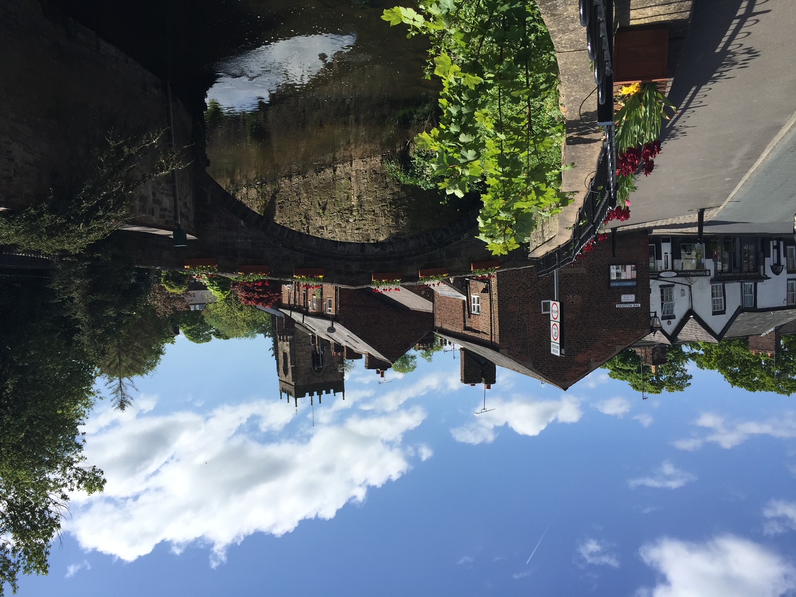
As well as this unusual landscape the walk visits three villages in West Lancashire each with their own Hall. We began in Croston, which historically is the most important. It is a pretty village sitting on the River Yarrow with its church, old school, packhorse bridge and many lovely old properties. It apparently dates back to 644AD when monks erected a cross here and hence the name. In the 1200s it was granted a royal charter for a market and the parish named after it was a large one stretching from Tarleton on the Ribble to Rufford and Mawdesley in the south and even once included Chorley. There have been at least two significant Halls built in Croston but the last was demolished in the 1960s and a modern replacement has been recently built. Remnants of the original buildings can be seen in the stone walls around the village and extensive parkland.
After a detour or two around the village we headed over the packhorse bridge from the 1600s and down Carr Lane on to Mawdesley Moss. Our destination was the village of Rufford which sits on the River Douglas and a branch of the Leeds Liverpool canal named after it, which links it with the Ribble Estuary. Lunch was taken spread out over parts of the village including the canal marina. From Rufford we joined the canal and headed north with a view across towards Rufford Old Hall. One wing dates from 1530! Unfortunately winter opening hours meant that we could not access the grounds, which would have been ideal for lunch. The initial section along the canal towpath is perhaps the weakest part of the walk and today we could not see beyond the mosses, which would normally give good views of the West Pennines. Just before the bridge over the A59, the canal meets the River Douglas, which was the original navigation for boats heading for the Ribble.
From there it is just five minutes to Bank Hall on the outskirts of our third and last village of Bretherton. This house is probably my favourite of the three. It was abandoned in the 1970s and deteriorated into a poor state of repair but has recently been rescued and sympathetically restored to its former glory.
A quick walk through Bretherton, with its three churches and numerous lovely old farm properties sitting on the south of the road reflects the good living that the reclaimed moss gave to the inhabitants of this area. From here it is just a short walk back to our start at the railway station in Croston.
Other Files
GPX
A GPX file of the above route may be downloaded by clicking the link below.
Note: GPX files of Group Walks are created by LDWA Group members, and may be downloaded only by other LDWA members. They should not be made available outside the LDWA, and are used at members' own risk.
Login to Download (Members Only)You can use the interactive controls to zoom in and out and to move around the map, or click on a path or a marker for more info. (interactive map help)
You can use the interactive controls to zoom in and out and to move around the map, or click on a path or a marker for more info. (interactive map help)
© OpenStreetMap contributors under Open Database Licence
Rights of way data from selected Local Authorities
Large scale digital mapping is provided by John Thorn
At high zoom levels the route is indicative only.
Gallery
Maps:
You can use the interactive controls to zoom in and out and to move around the map, or click on a marker for more info. (interactive map help)
© OpenStreetMap contributors under Open Database Licence.
Rights of way data from selected Local Authorities.
Large scale digital mapping is provided by John Thorn.


