


Station to Station: Pop up!
Thu 7th Oct 2021
Walk Details:
Event Type
Group Walk
Region / Area
Southern England / London
Local Group
London
Distance
11ml.
Start Time
10:35
Route
Fenchurch St station main entrance to Stratford Station
General Notes
A return to familiar ground not visited since before lock down
Web Site
Start and Finish
Entry Details:
Cost
Walk Report
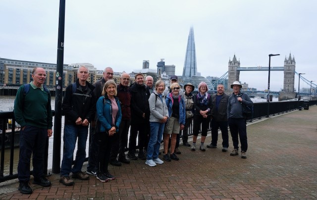
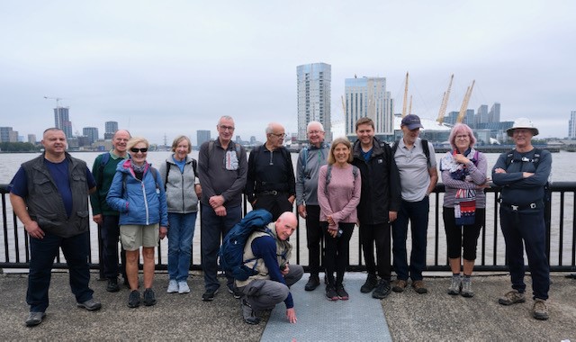
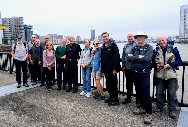
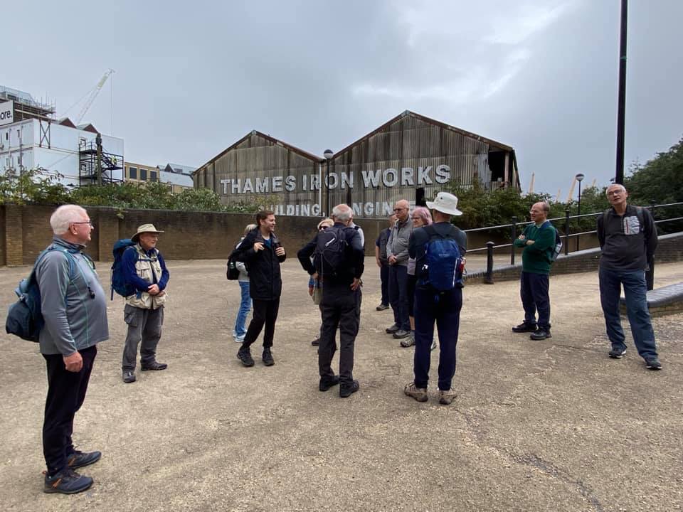
Station to Station, Thursday 7th October 202115 walkers, 12 miles - leader Ron Williamson
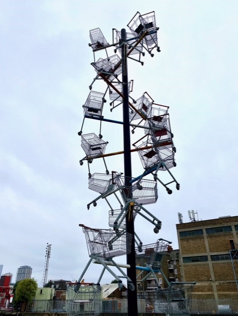
A good turnout for a chance to visit familiar ground, with a few surprises added for good measure.
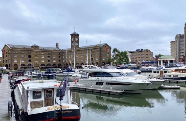
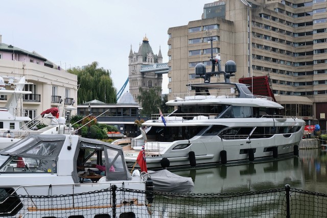
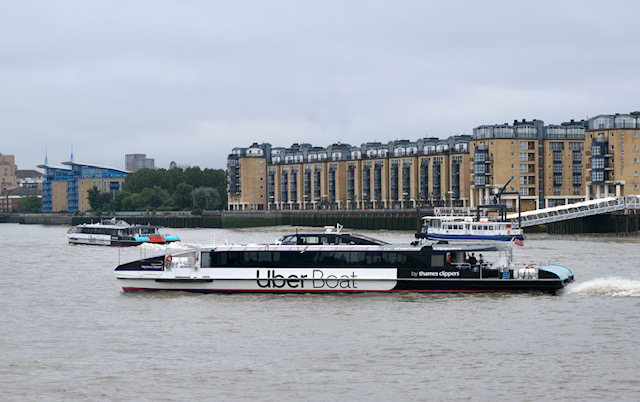
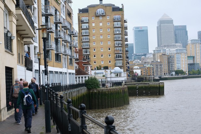
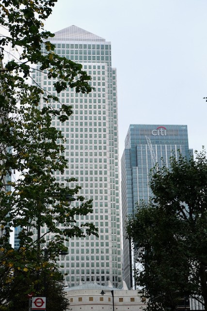
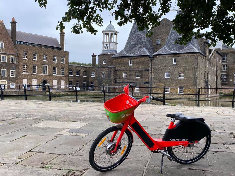
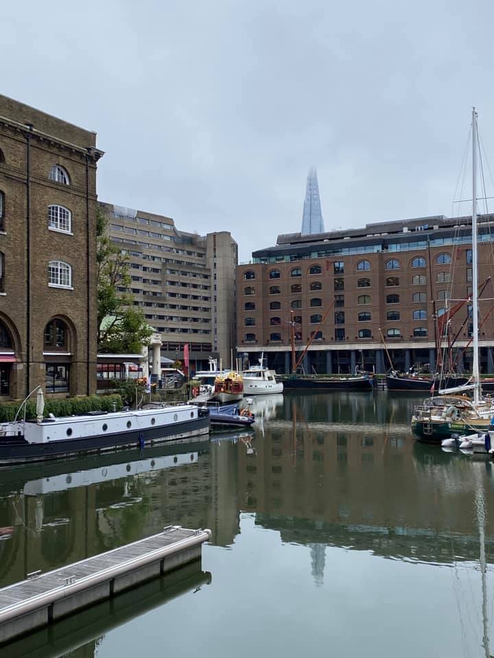
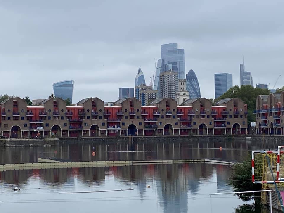
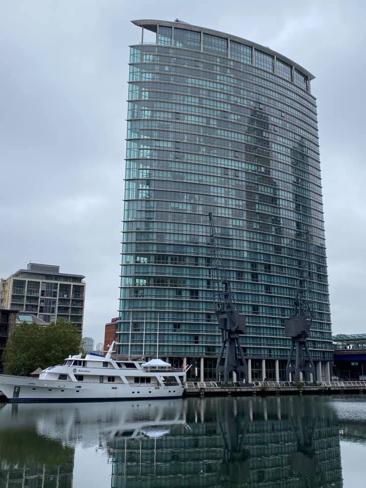
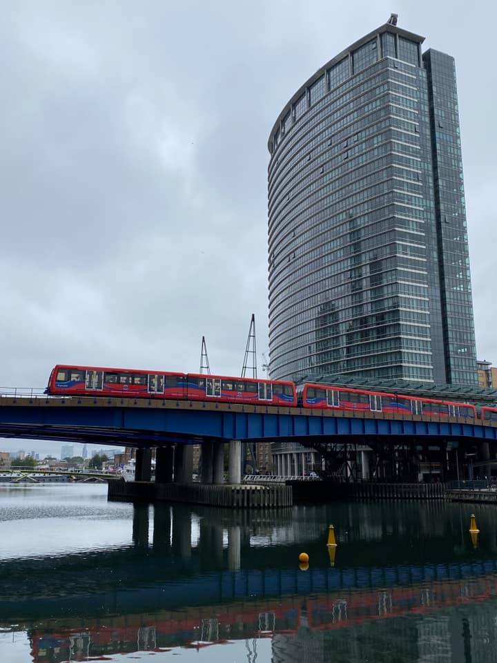
The first 3.5 miles along the Thames Path to Canary Wharf were familiar to most, whilst our first stop was a new experience to the Londoners in the group although most of us from further afield were aware of its potential as a lunch stop. In fact the roof garden above the shortly to open Canary Wharf Crossrail station exceeded our expectations, it must surely be one of the best covered locations in London to stop for a sandwich break. Well worth a visit.
Our aim was now to continue eastwards towards Canning Town without having to use main roads, however, our way ahead was blocked by numerous building sites whose workforce could not direct us to our destination even though it could be seen on the other side of the construction area. Perseverance paid off as we eventually found a recently laid footpath going in the right direction.
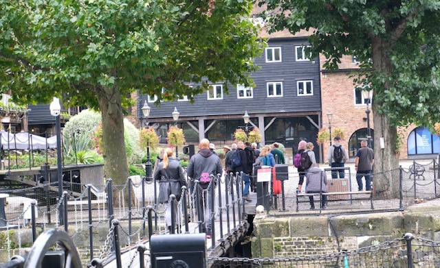
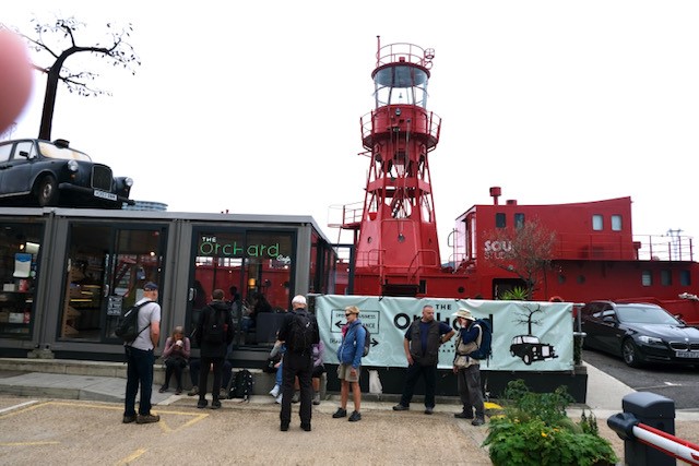
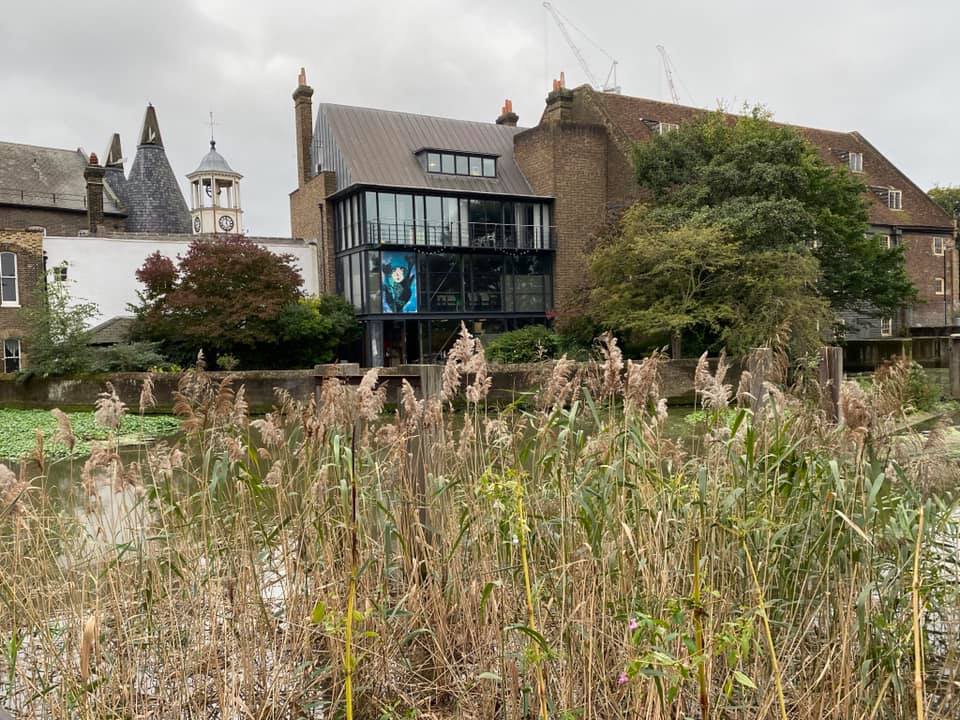
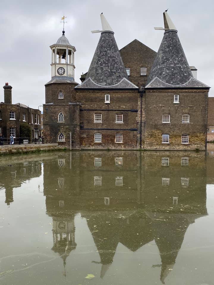
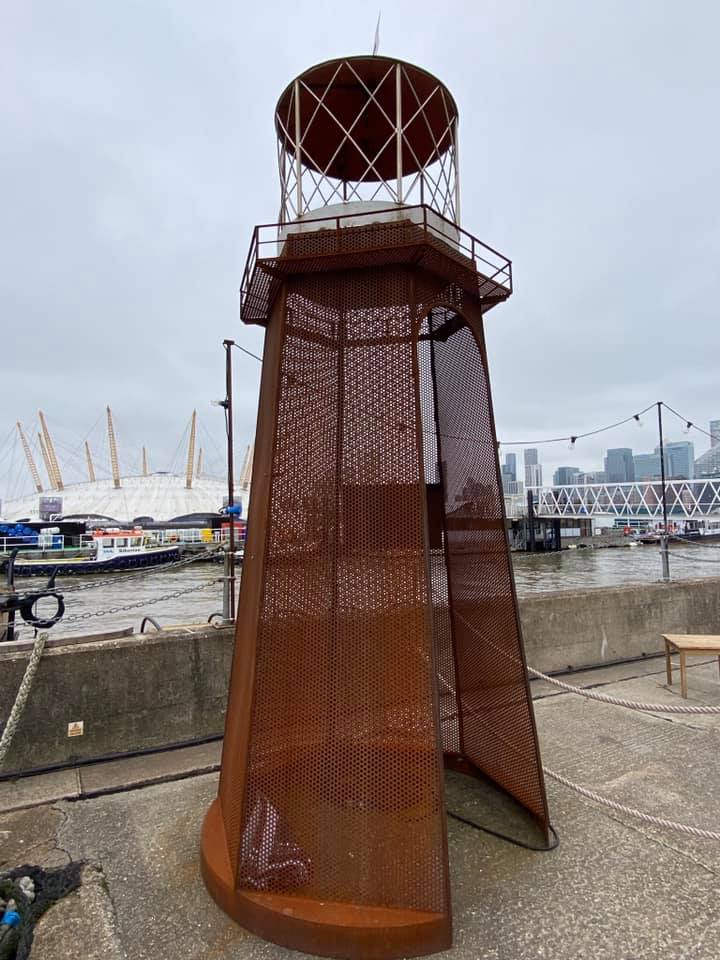
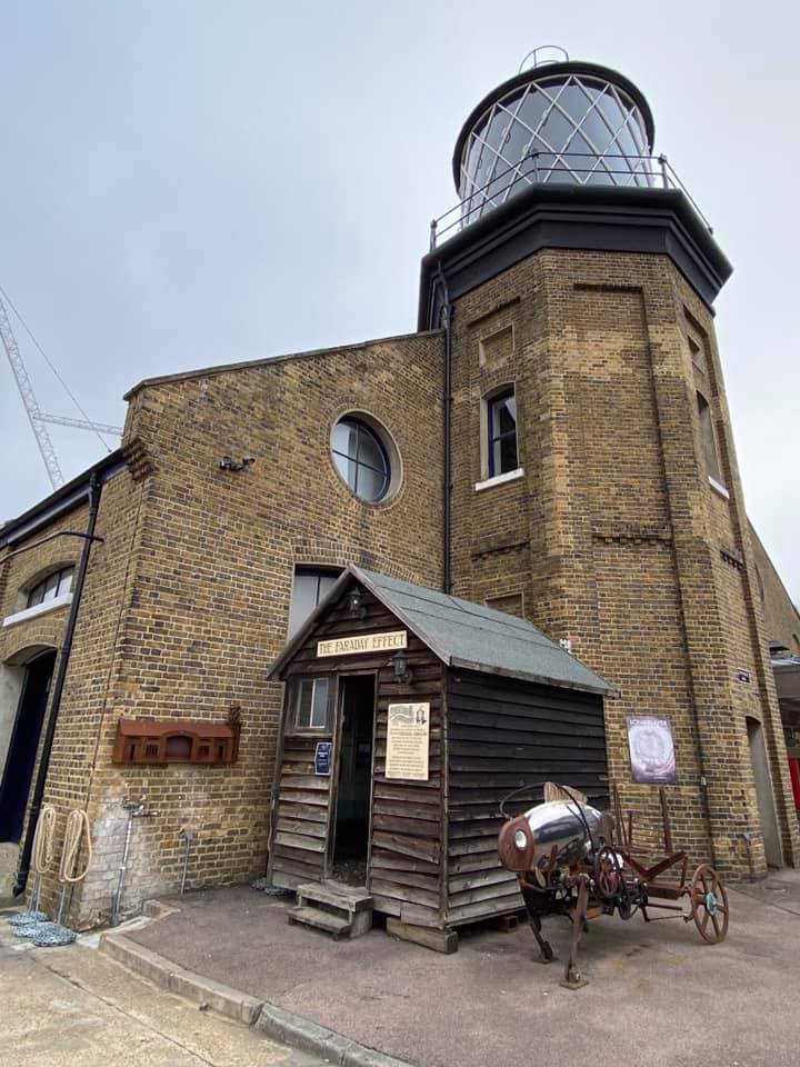
We skirted Virginia Wharf and the former East India Dock, now a nature reserve, as we made our way to Trinity Wharf and the London Lighthouse, here those familiar to the area took coffee leaving the rest of party to explore the area. Once again well worth an extended visit.
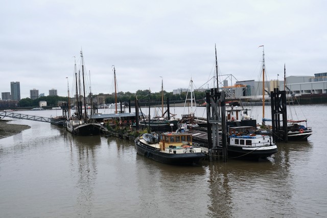
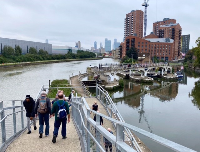
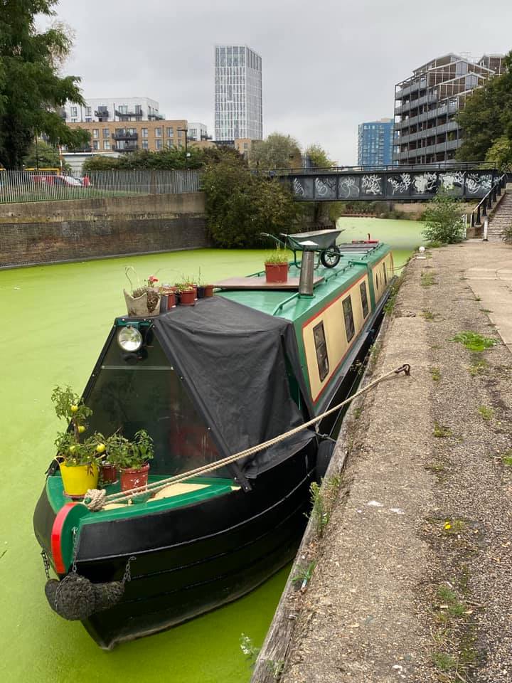
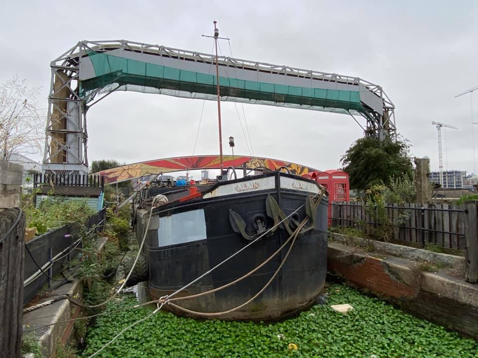
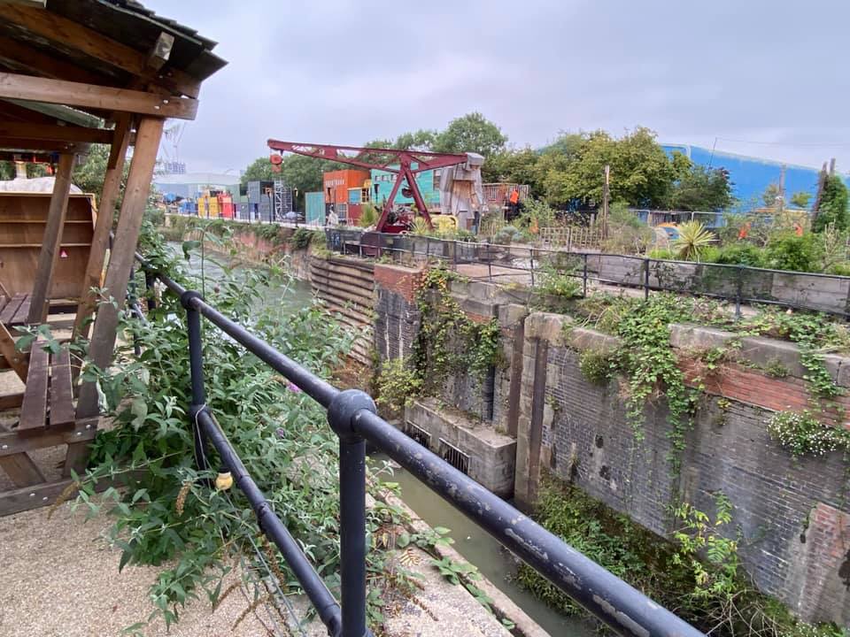
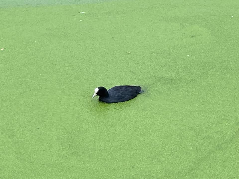
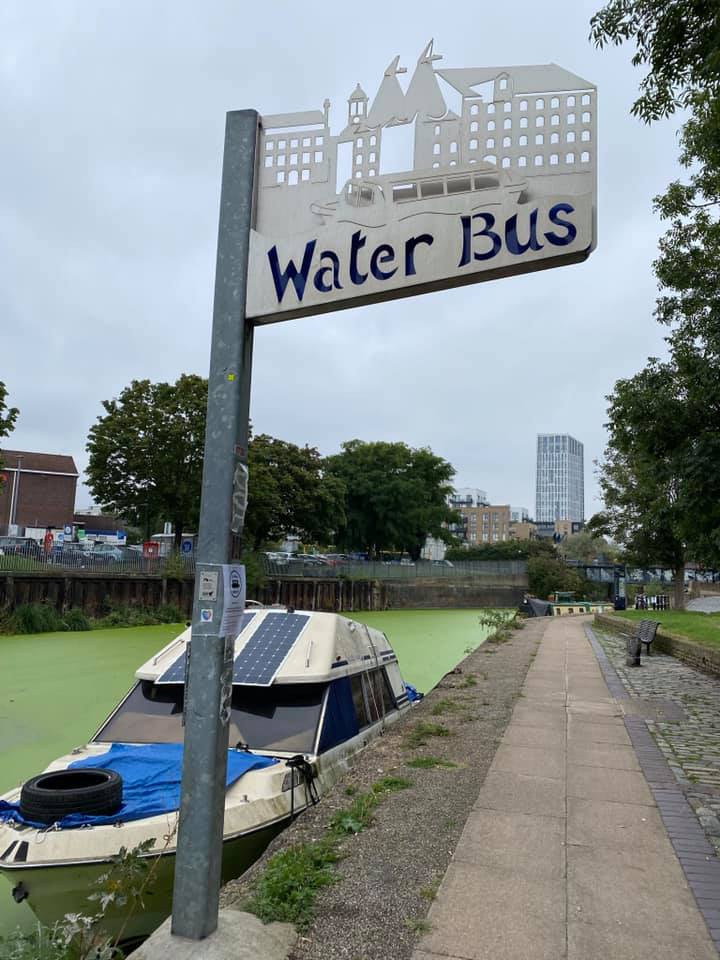
Our object was now to follow the River Lea northwards to Stratford, but the riverside path at its southern end is at present still under construction and not expected to open for at least 18 months. A diversion of just over half a mile along soulless industrial estate roads is unavoidable before returning to the riverside path at Cody Dock, a thriving community hub transformed from a derelict dock basin, and our third surprise.
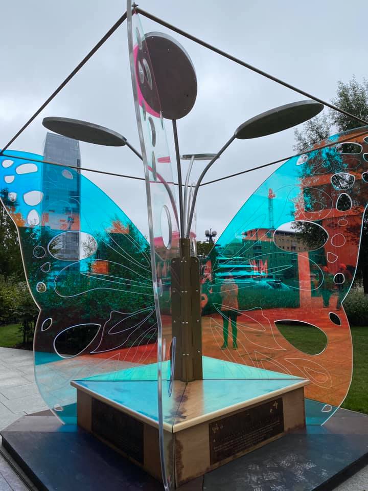
Of course, we could not visit Stratford without paying homage to a certain football club, and this time it seemed necessary to view the stadium from every possible angle.
Photographs by Keith Lane and Charlotte Minchell
Other Files
Download Walk ReportGallery

Maps:
You can use the interactive controls to zoom in and out and to move around the map, or click on a marker for more info. (interactive map help)
Contains Ordnance Survey data © Crown copyright and database right 2016.
© OpenStreetMap contributors under Open Database Licence.
Rights of way data from selected Local Authorities.
Large scale digital mapping is provided by John Thorn.
© OpenStreetMap contributors under Open Database Licence.
Rights of way data from selected Local Authorities.
Large scale digital mapping is provided by John Thorn.


