


The Beeches Way
Sun 14th Nov 2021
Walk Details:
Cookham Railway Station following The Beeches Way via Burnham Beeches. Finish: West Drayton Railway Station. Please carry a torch and your own food and drink
Entry Details:
Walk Report
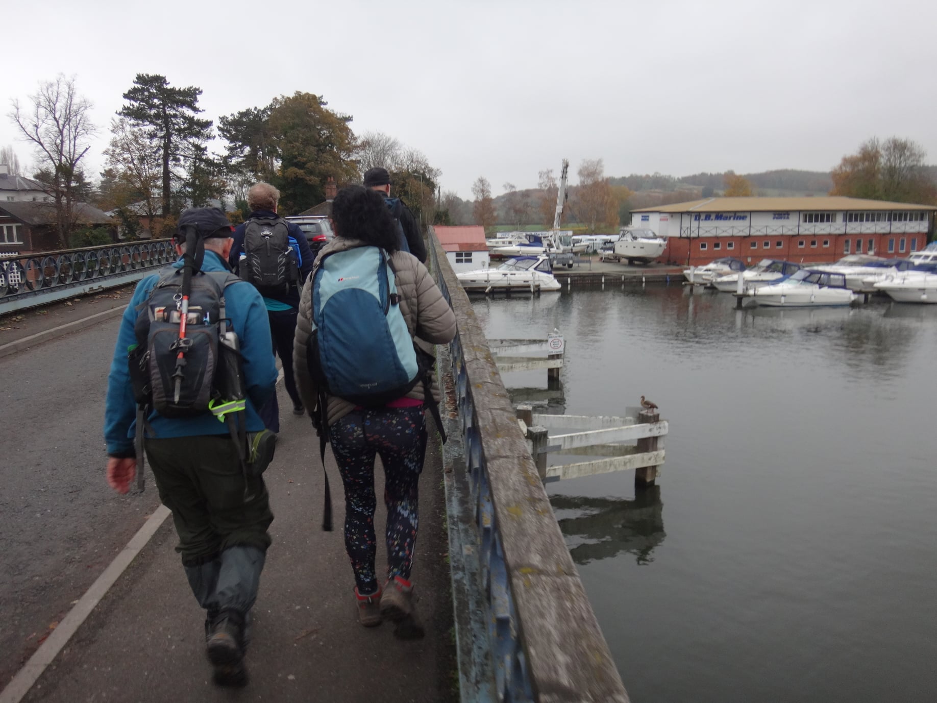
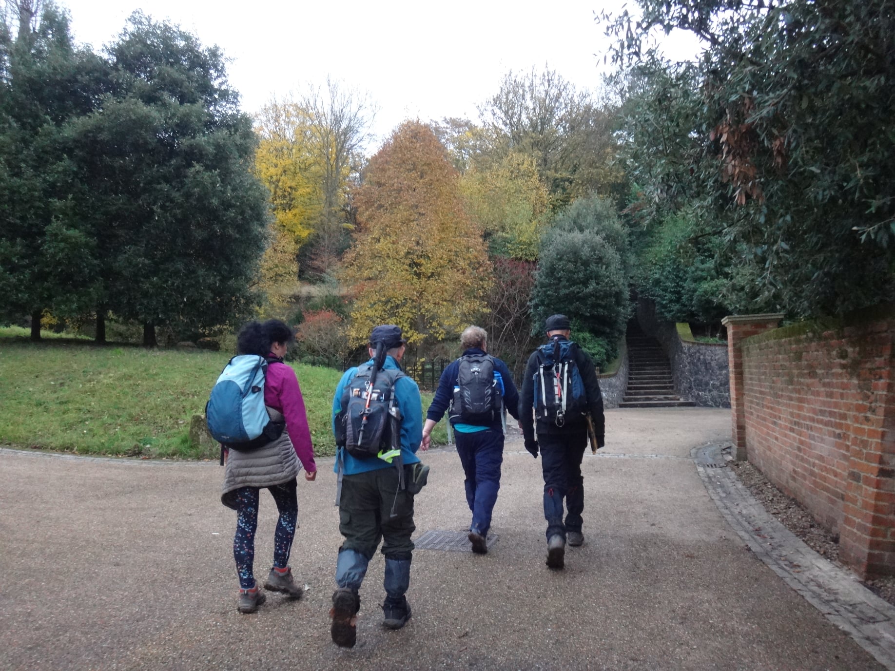
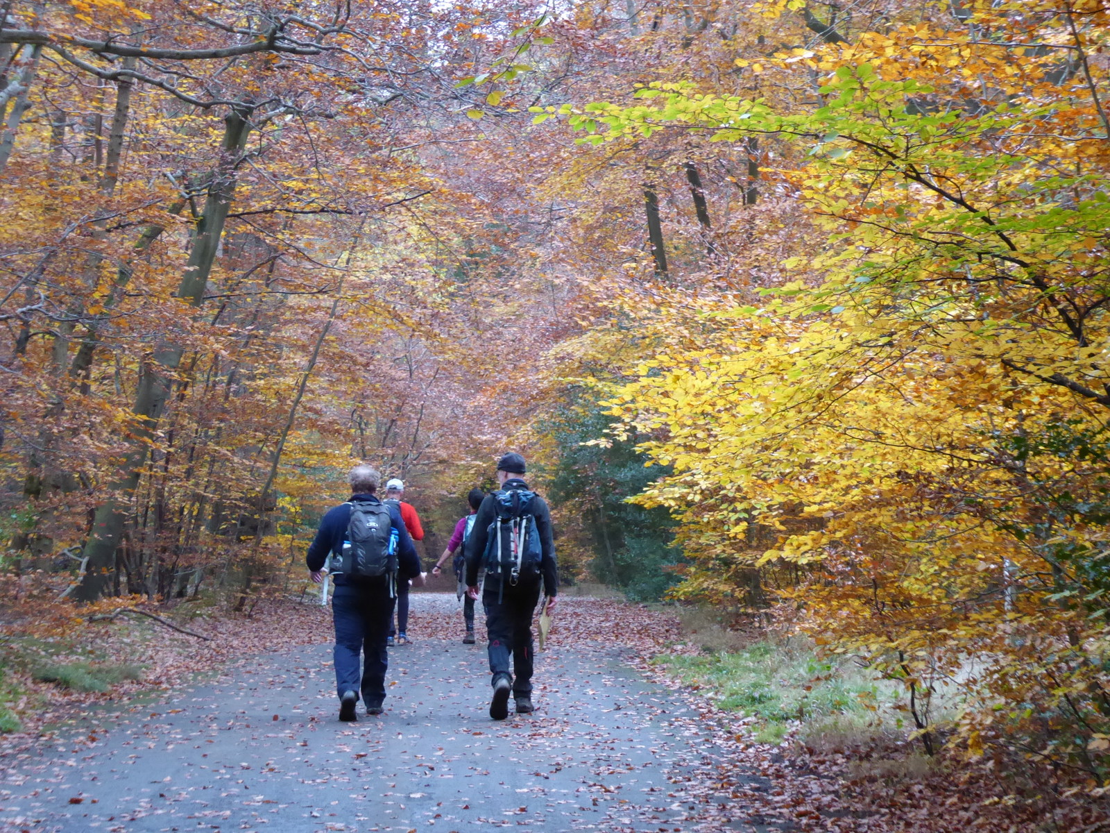
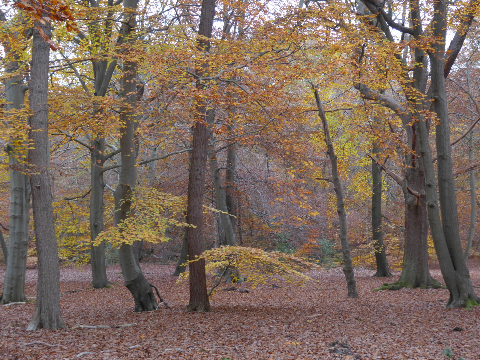
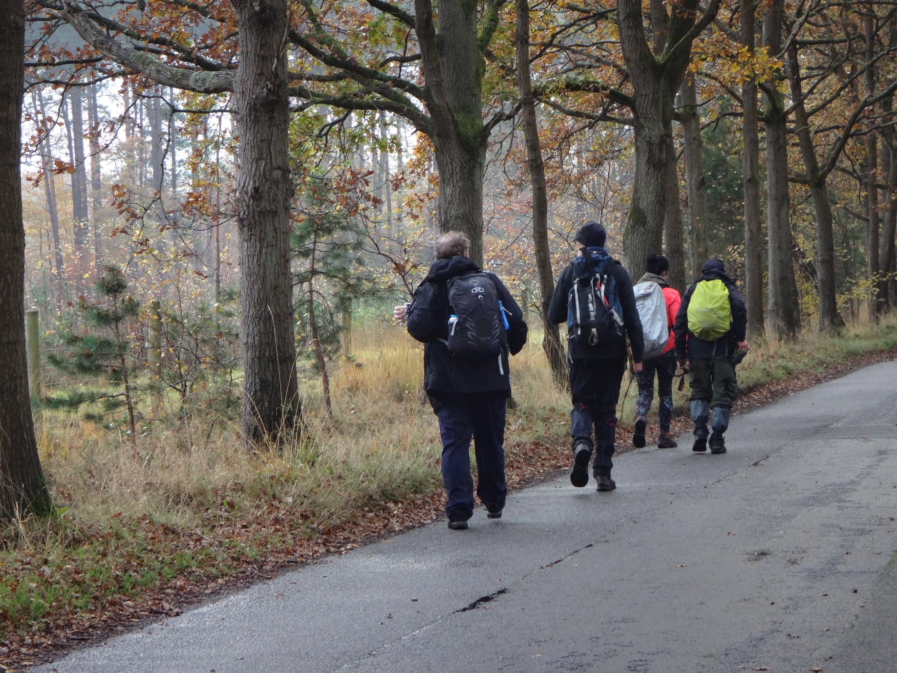
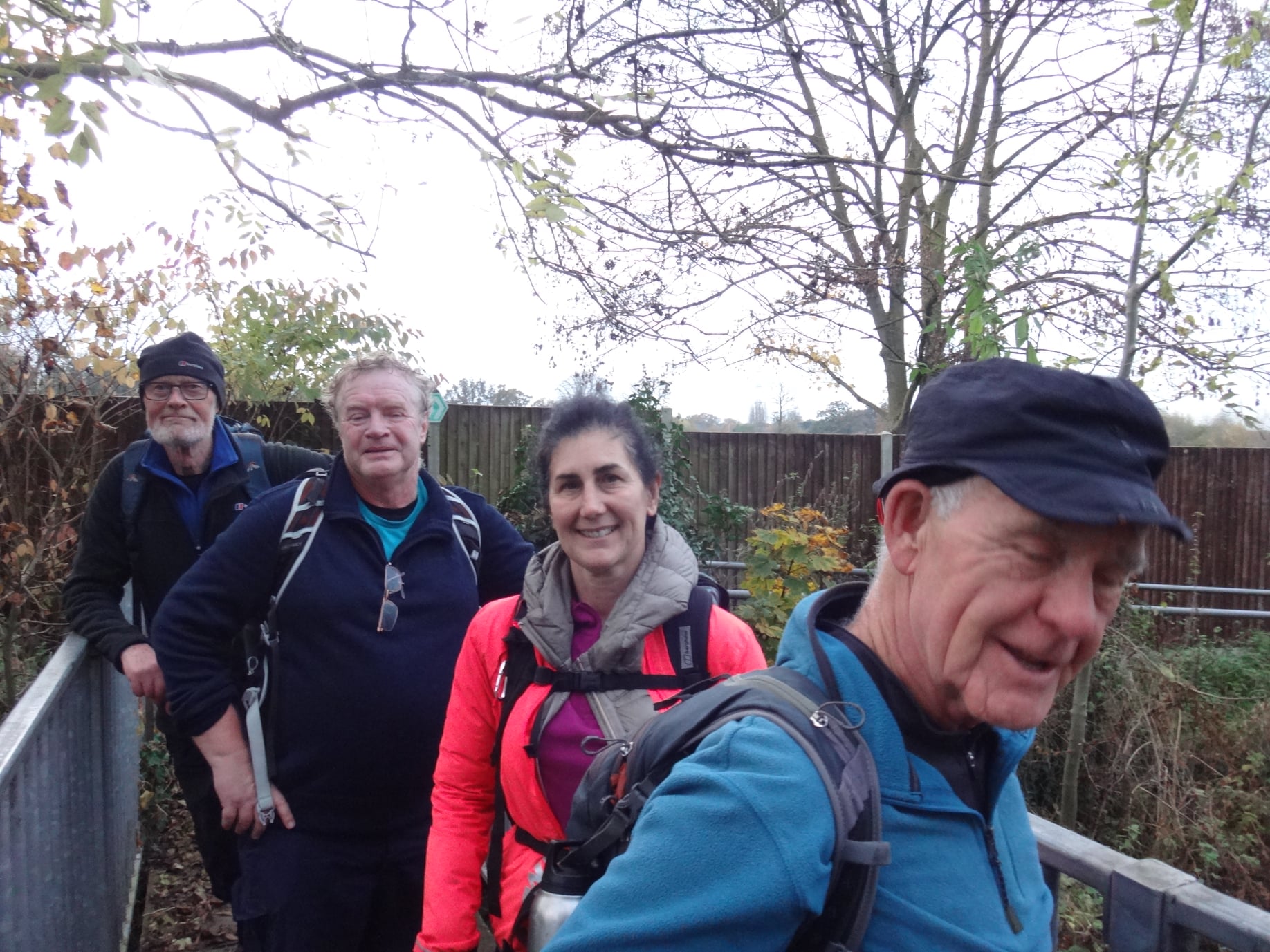
The Beeches Way, Sunday 14th November 20215 walkers, 17.8 miles - leader Godfrey O'Callaghan
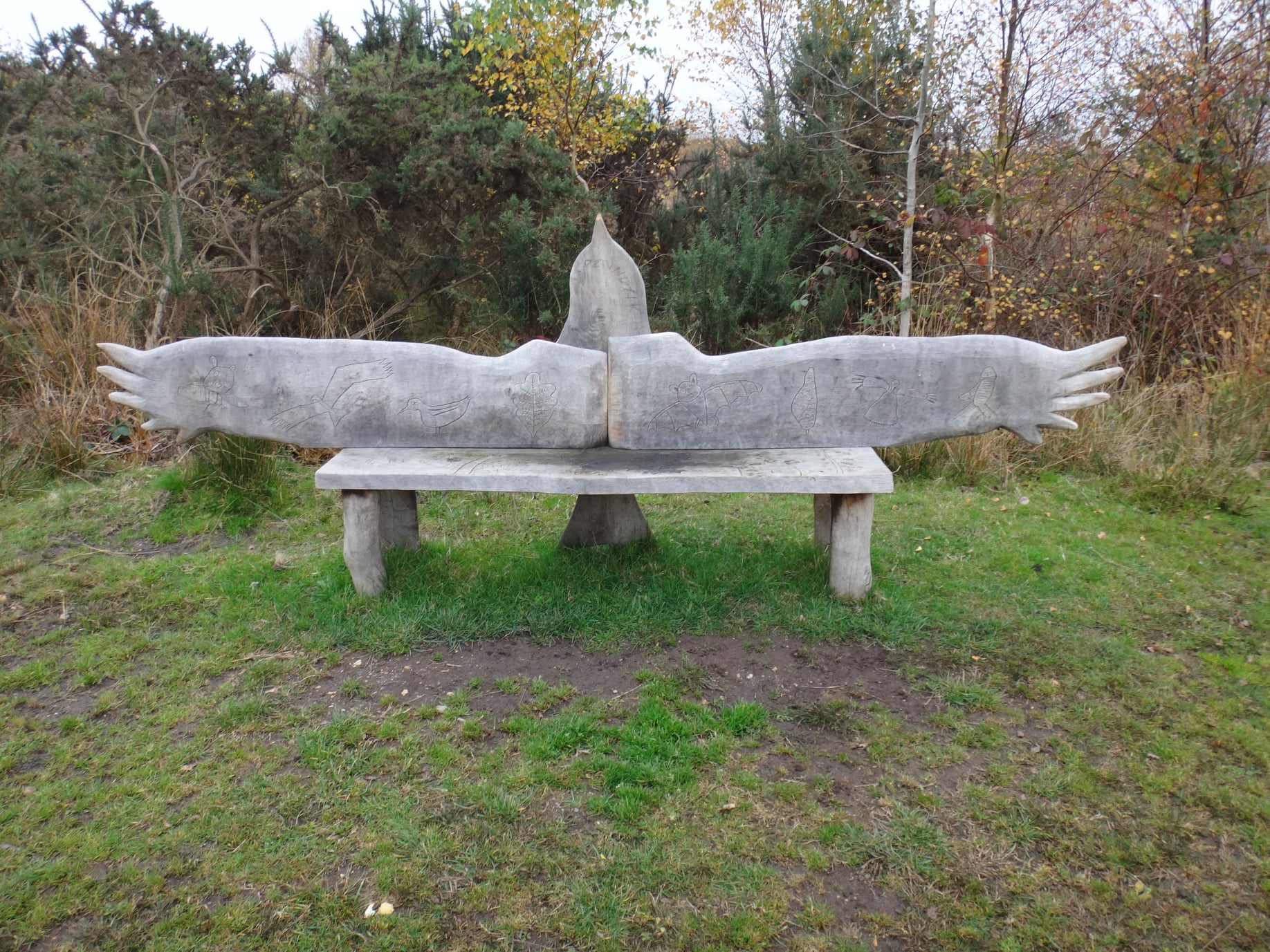
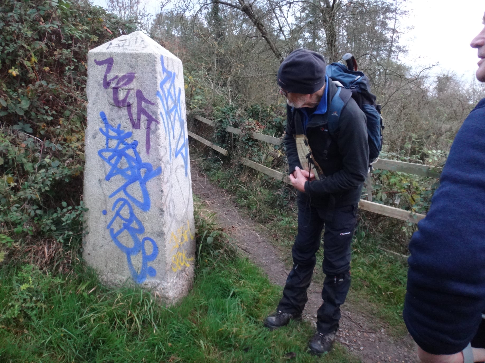
A compact group of walkers enjoyed an autumn passage of some splendour as they passed through this part of Buckinghamshire. Burnham Beeches, Stoke Common, Black Park and Langley Park were key points of interest but with colour on all sides for most of the walk there was plenty to please the eye. Indeed, at times, in deeper woodland the scene was more one of fire. And don't you just like this time of year with the rustle of leaves underfoot, the musky fragrances of autumn and the cool air on the face. We did not forget what day it was and stood two minutes at 11 o'clock - a distant gun providing the time marker.
Photographs by John Pennifold and Paul Lawrence
Other Files
Download Walk ReportGPX
A GPX file of the above route may be downloaded by clicking the link below.
Note: GPX files of Group Walks are created by LDWA Group members, and may be downloaded only by other LDWA members. They should not be made available outside the LDWA, and are used at members' own risk.
Login to Download (Members Only)You can use the interactive controls to zoom in and out and to move around the map, or click on a path or a marker for more info. (interactive map help)
You can use the interactive controls to zoom in and out and to move around the map, or click on a path or a marker for more info. (interactive map help)
© OpenStreetMap contributors under Open Database Licence
Rights of way data from selected Local Authorities
Large scale digital mapping is provided by John Thorn
At high zoom levels the route is indicative only.
Gallery
Maps:
You can use the interactive controls to zoom in and out and to move around the map, or click on a marker for more info. (interactive map help)
© OpenStreetMap contributors under Open Database Licence.
Rights of way data from selected Local Authorities.
Large scale digital mapping is provided by John Thorn.


