


A worthy Worthing walk
Sat 4th Sep 2021
Walk Details:
From the sea up and over the Downs and back to the seaside. Some sections of Monarchs Way and South Downs Way also hidden wooded valleys and less frequented paths. The walk is based on previous walks that I have led but there has not been a recent recce; there may be some surprises
Entry Details:
Walk Report
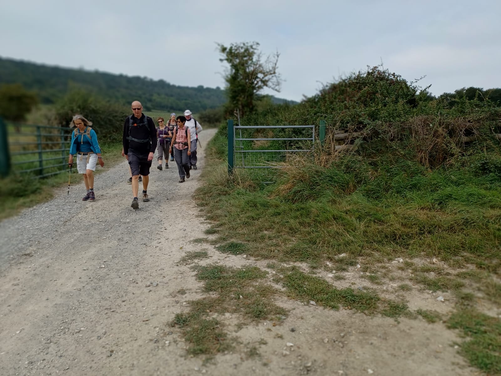
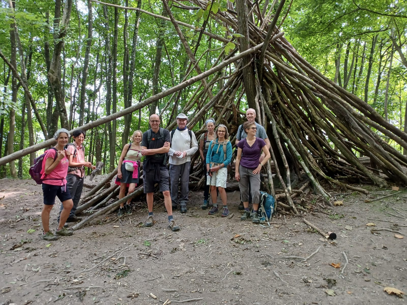
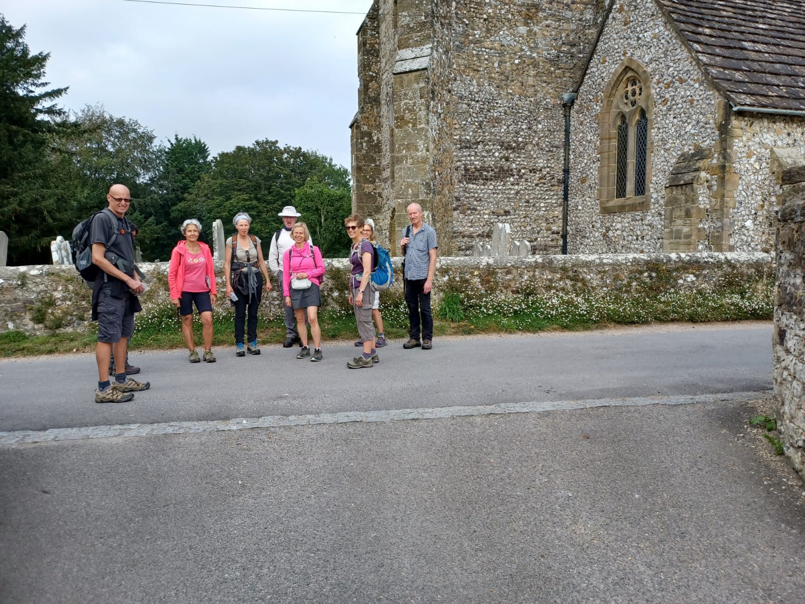
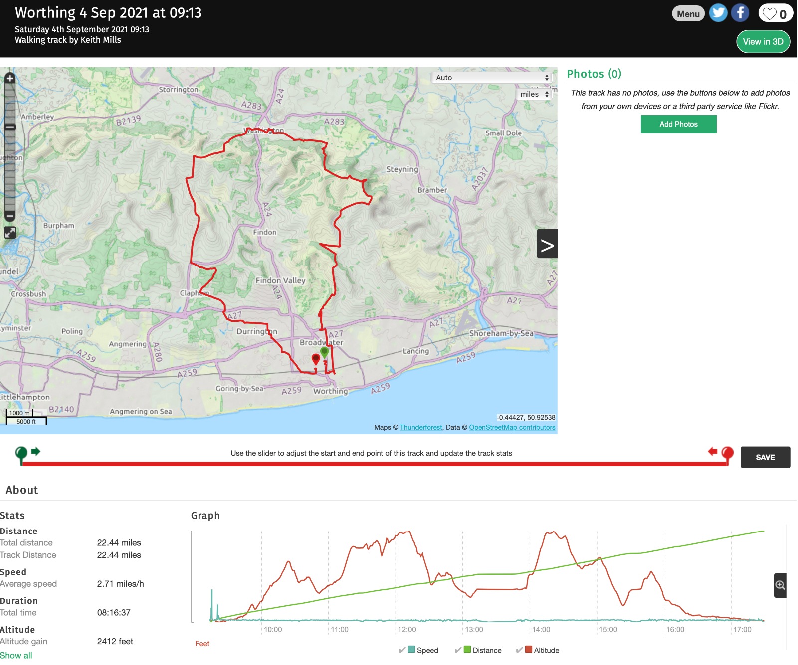
A Worthy Worthing Walk, Saturday 4th September 202110 walkers, 21 miles - leader Jerome Ripp
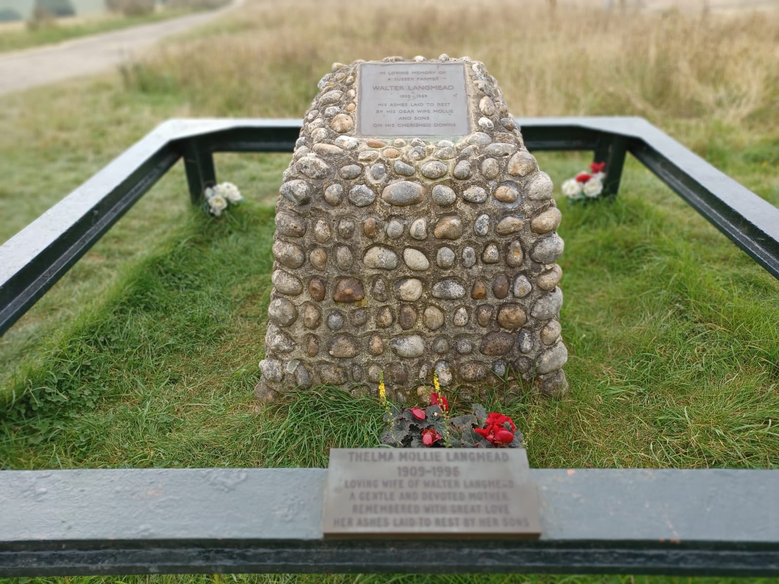
Another fine late summer day with paths now very dry. North from Worthing station through urban sprawl with some paths to reach the foothills of the Downs. Fine views across the Findon valley up to Cissbury Ring and later a short section of the Monarchs Way to reach the South Downs Way but immediately left it to explore Steyning Round Hill. A very steep climb took us back up towards Chanctonbury Ring, then down for lunch in the churchyard at Washington. A short section on the South Downs Way then some lovely rolling countryside heading south to the long Furlong and Clapham village. Many paths seemed to be rather overgrown and rarely used which meant that the wearers of shorts had the advantage of having their legs well massaged with nettles. More urban sprawl around Durrington and West Worthing completed the circuit and most unusually we did not have to sprint for the train.
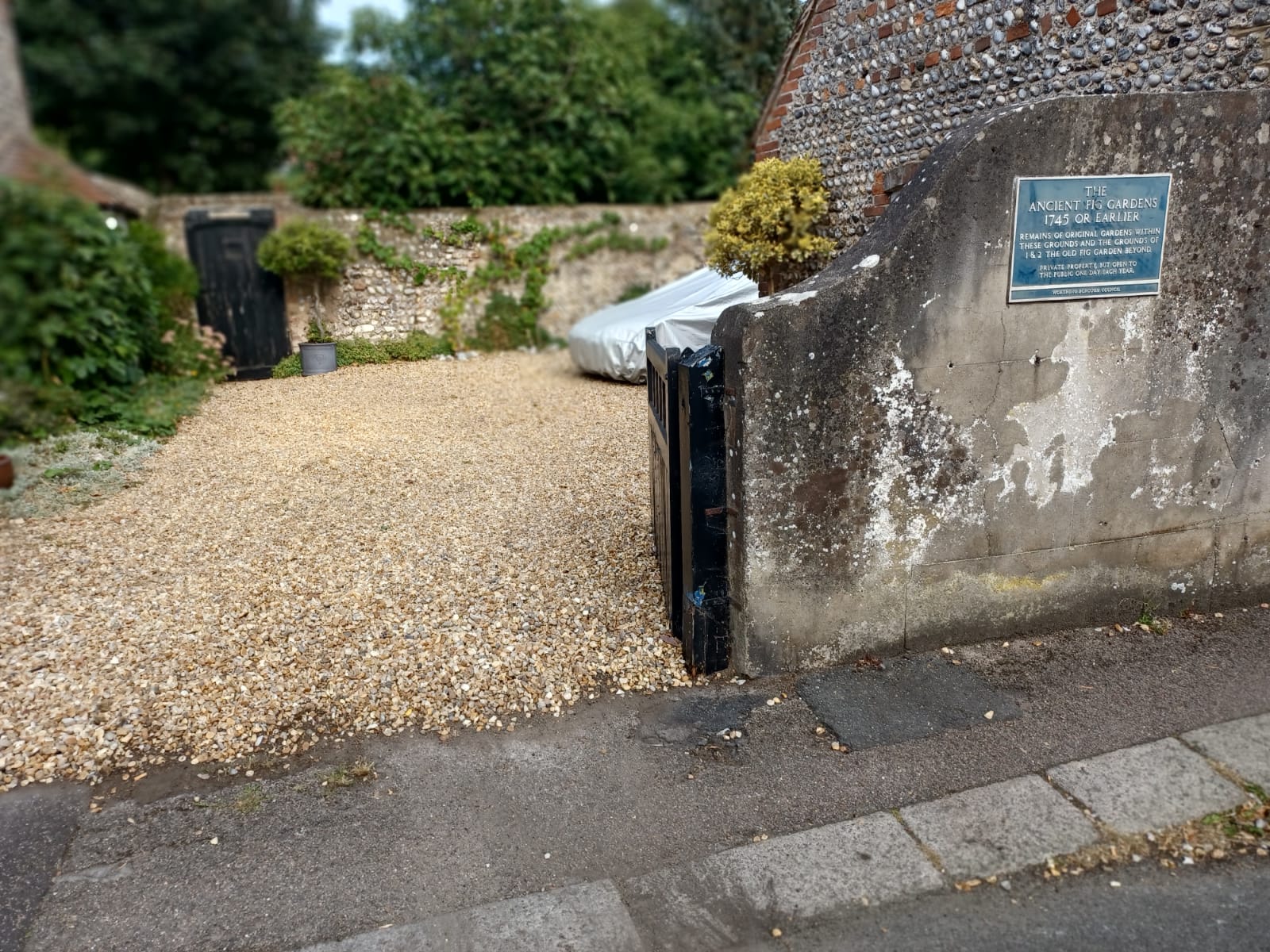
Photographs by Jerome Ripp.
Other Files
Download Walk ReportGPX
A GPX file of the above route may be downloaded by clicking the link below.
Note: GPX files of Group Walks are created by LDWA Group members, and may be downloaded only by other LDWA members. They should not be made available outside the LDWA, and are used at members' own risk.
Login to Download (Members Only)You can use the interactive controls to zoom in and out and to move around the map, or click on a path or a marker for more info. (interactive map help)
You can use the interactive controls to zoom in and out and to move around the map, or click on a path or a marker for more info. (interactive map help)
© OpenStreetMap contributors under Open Database Licence
Rights of way data from selected Local Authorities
Large scale digital mapping is provided by John Thorn
At high zoom levels the route is indicative only.
Gallery
Maps:
You can use the interactive controls to zoom in and out and to move around the map, or click on a marker for more info. (interactive map help)
© OpenStreetMap contributors under Open Database Licence.
Rights of way data from selected Local Authorities.
Large scale digital mapping is provided by John Thorn.


