


Tunnel vision, writers and the army
Sat 28th Aug 2021
Walk Details:
Heathland commons, hills, valleys villages and several famous people to meet en route. The walk is based on previous walks that I have led but there has not been a recent recce; there may be the occasional surprise!
Entry Details:
Walk Report
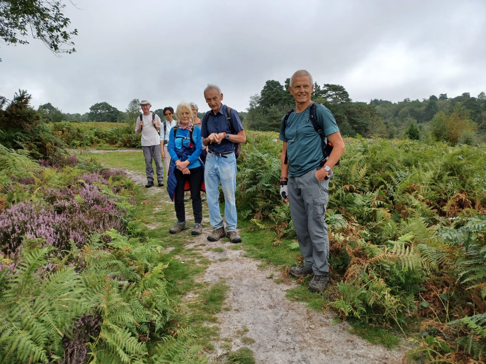
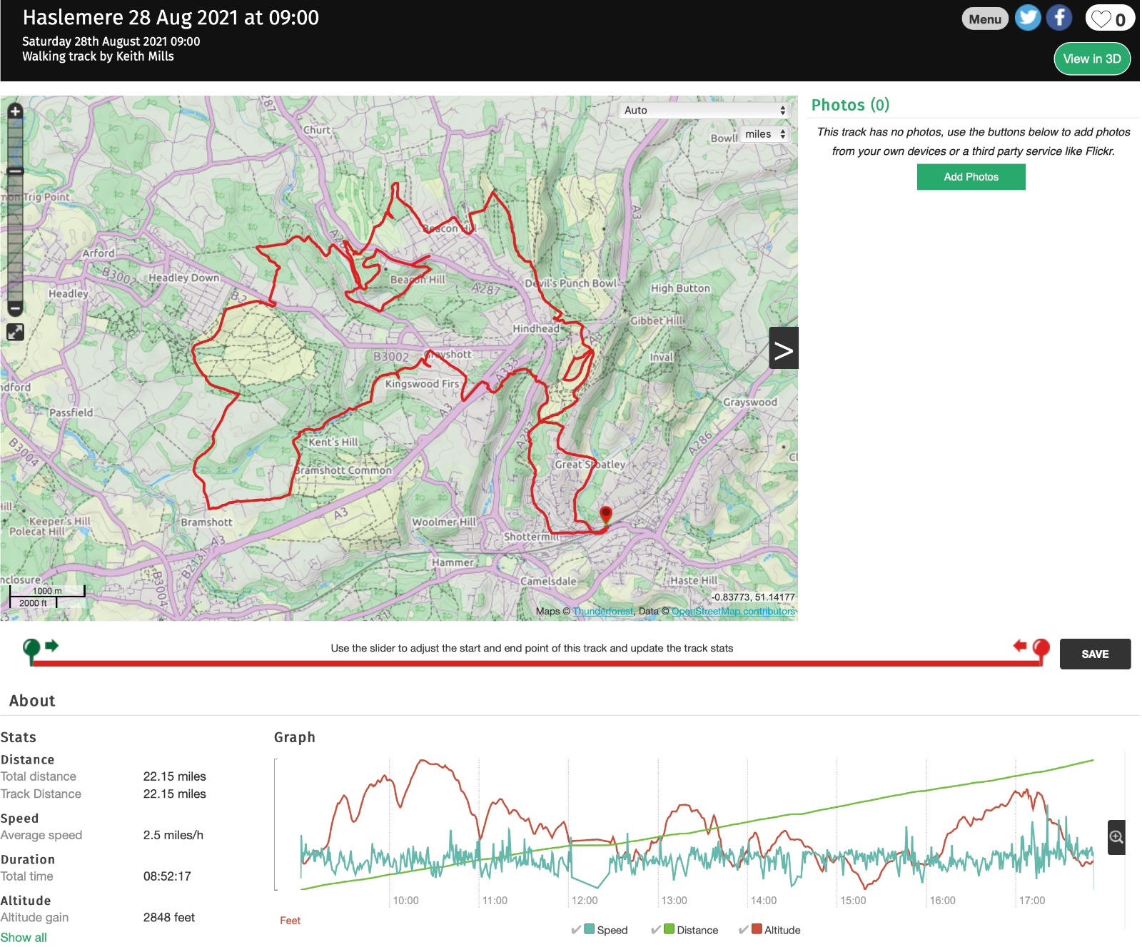
Tunnel Vision, writers and the army - Haslemere Circular, Saturday 28th August 20217 walkers, 22 miles - leader Jerome Ripp
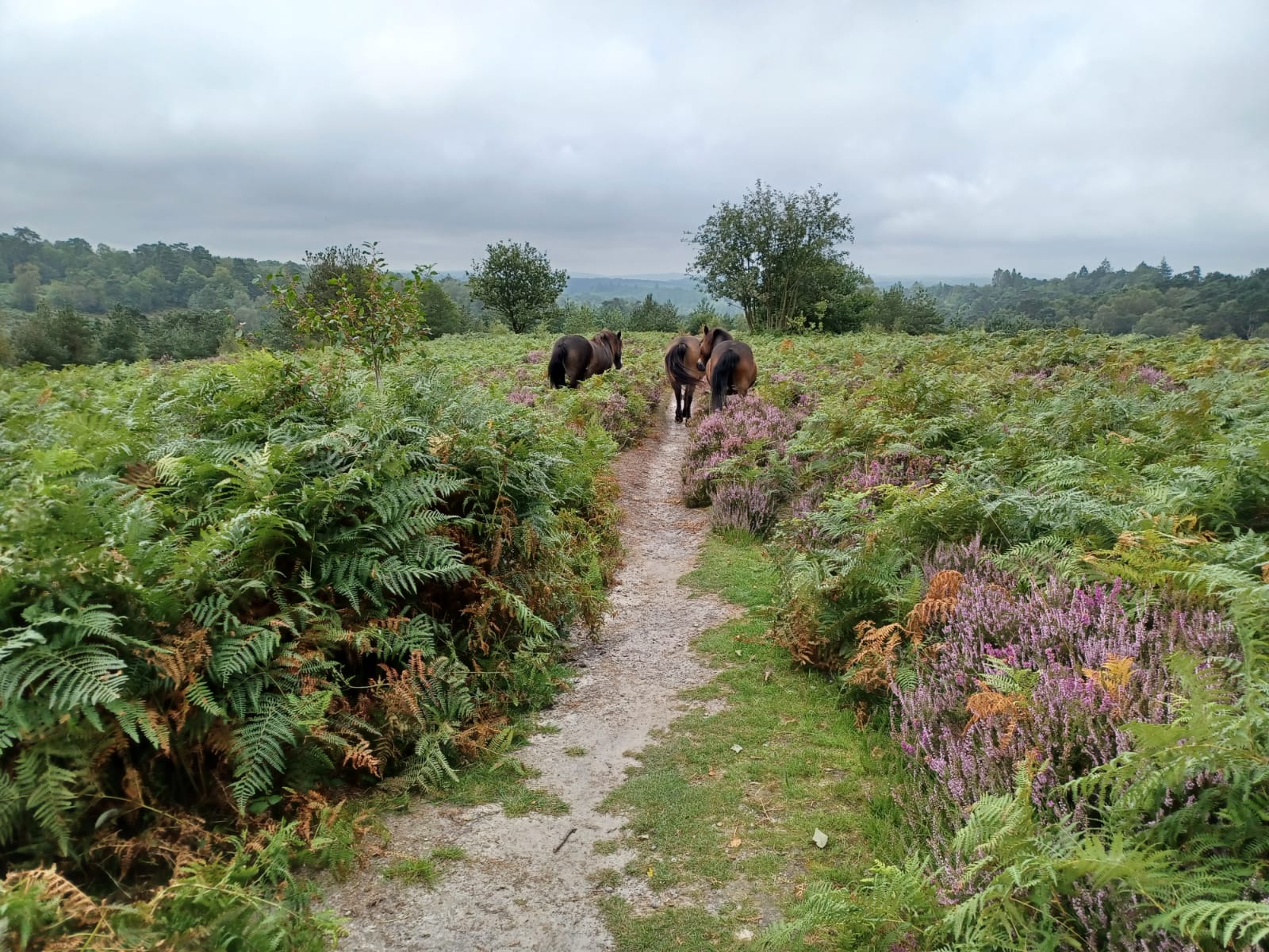
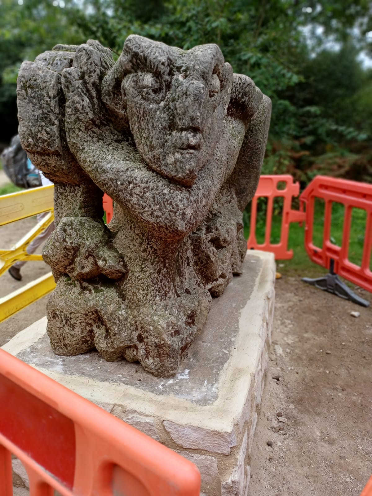
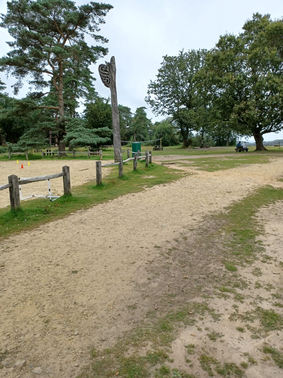
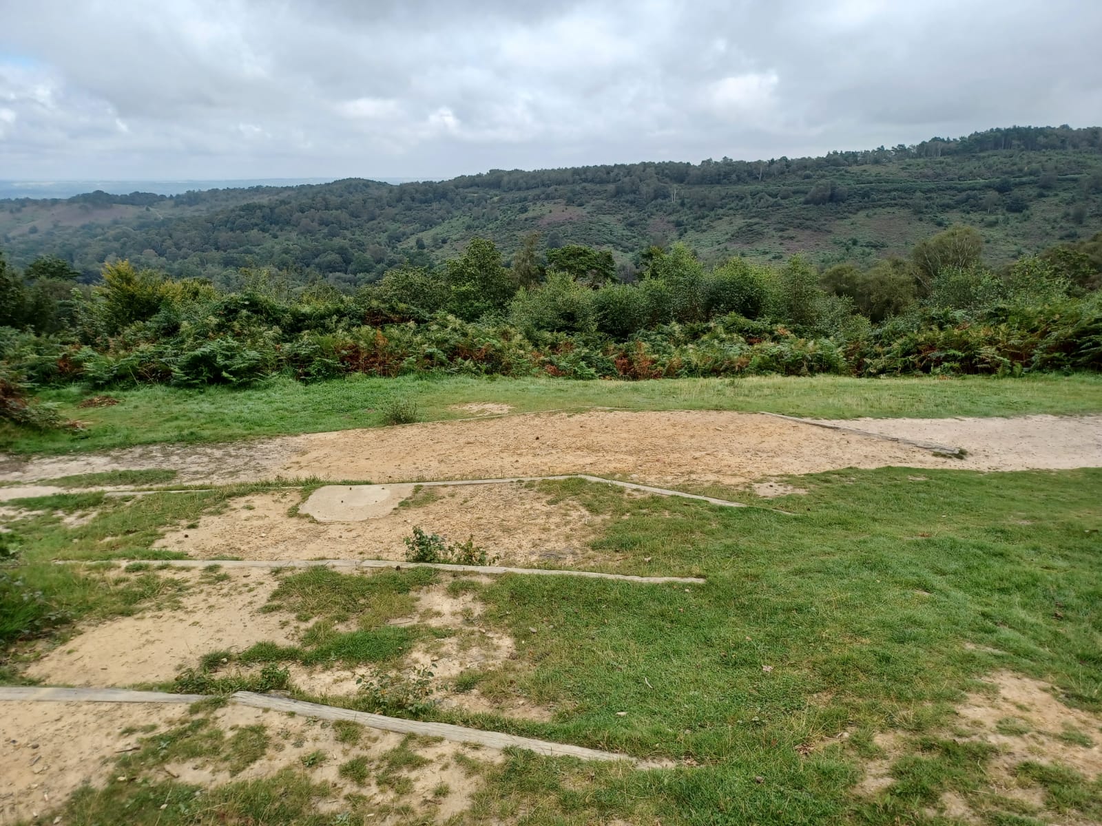
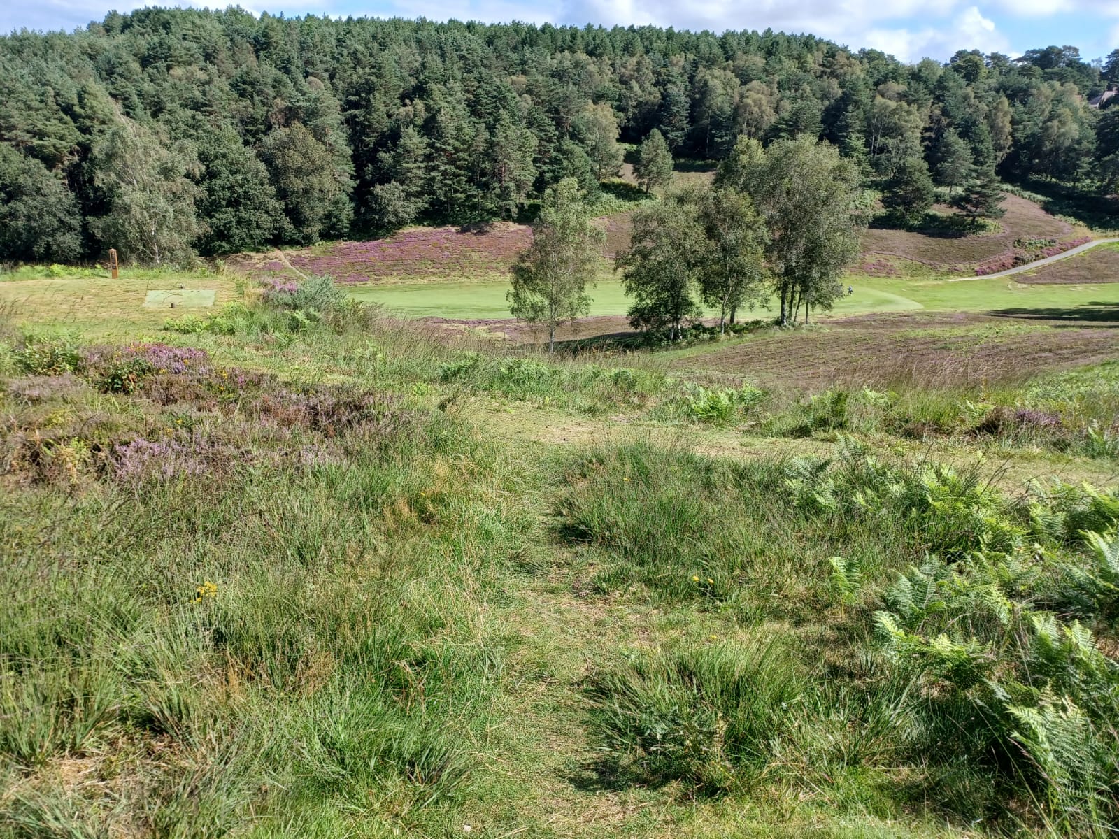
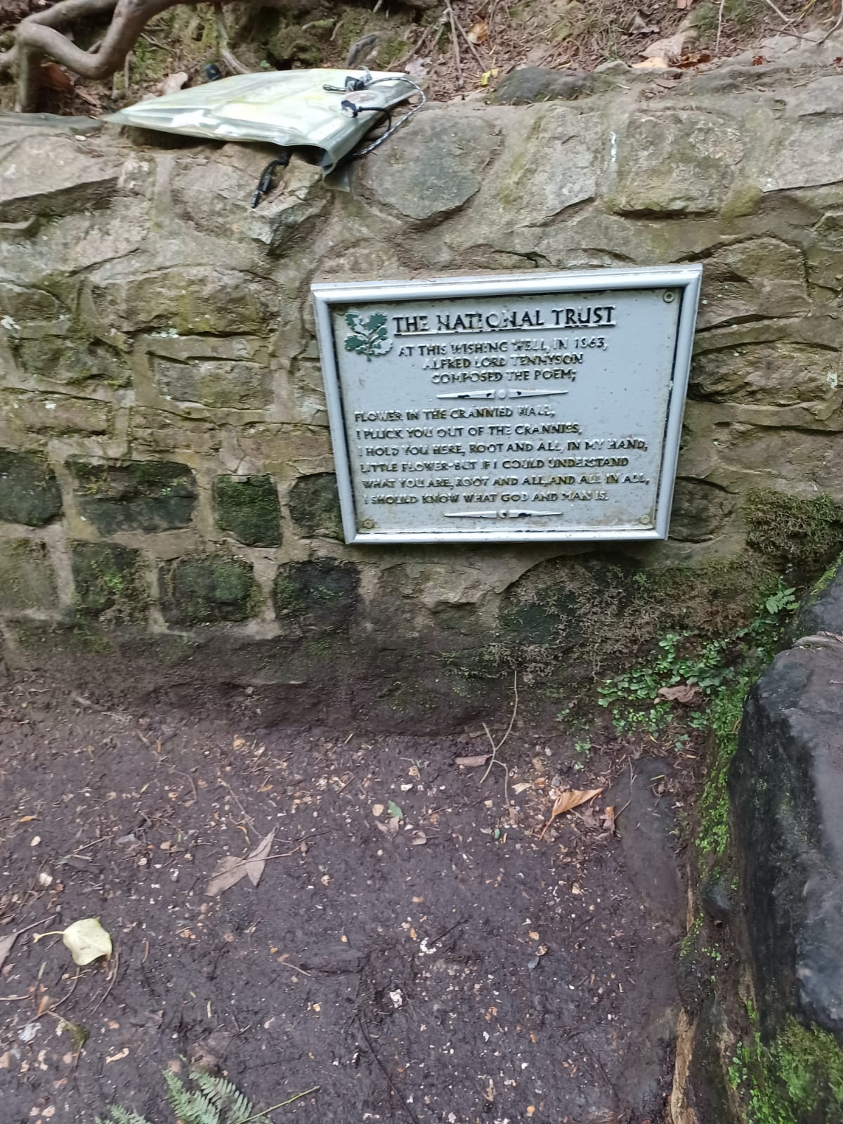
A perfect late summer day as we headed up the Greensand Way towards Hindhead. The slopes of Polecat Valley had an abundance of heather which were so glorious that it merited a special type of loop, the first of many that were a feature of the day. There were some people at the Punchbowl car park but for the rest of the day we walked in almost splendid isolation as we avoided the main well-trodden paths. A deeply wooded silent valley and climb to Beacon Hill followed by a golf course crossing. This is usually a rather unpleasant event, but the Hindhead golf course was resplendent with colourful heather and rowan trees. Lunch stop looking across Whitmoor Vale is an unexpected beauty spot, there is a clear path along the ridge but no evidence of it on any map. This profusion of paths created an artistic loop and some nimble footwork in a forest wilderness before the boring legality of paths across Ludshott Common returned. Waggoners Wells and Grayshott now explained the 3 features in the title of the walk. We passed beside the army training camp on Kent Hill, then the wishing well where Lord Tennyson (Victorian Poet Laureate) composed a short poem. The post office in Grayshott where Flora Thompson (writer of the classic Lark Rise to Candleford) worked and delivered letters to locals such as Conan Doyle (Sherlock Holmes creator) who lived down the hill in a large house now occupied by a school. Crossing the A3 we could see the southern entrance to the Hindhead tunnel and even a glimpse of the house where George Bernard Shaw lived briefly. Having passed the trade descriptions act we headed back to Haslemere with just a mini final loop for our 22 miles with 3,000 feet of ascent according to Keith's App. Definitely a hilly walk!
Photographs by Jerome Ripp
Other Files
Download Walk ReportGPX
A GPX file of the above route may be downloaded by clicking the link below.
Note: GPX files of Group Walks are created by LDWA Group members, and may be downloaded only by other LDWA members. They should not be made available outside the LDWA, and are used at members' own risk.
Login to Download (Members Only)You can use the interactive controls to zoom in and out and to move around the map, or click on a path or a marker for more info. (interactive map help)
You can use the interactive controls to zoom in and out and to move around the map, or click on a path or a marker for more info. (interactive map help)
© OpenStreetMap contributors under Open Database Licence
Rights of way data from selected Local Authorities
Large scale digital mapping is provided by John Thorn
At high zoom levels the route is indicative only.
Gallery
Maps:
You can use the interactive controls to zoom in and out and to move around the map, or click on a marker for more info. (interactive map help)
© OpenStreetMap contributors under Open Database Licence.
Rights of way data from selected Local Authorities.
Large scale digital mapping is provided by John Thorn.


