


Tea with Jane and Gilbert
Sat 14th Aug 2021
Walk Details:
Hanging woods and a literary pilgrimage. With all the recent rain, come prepared for some muddy paths. The walk is based on previous walks that I have led but there has not been a recent recce; there may be the occasional surprise!
Entry Details:
Walk Report
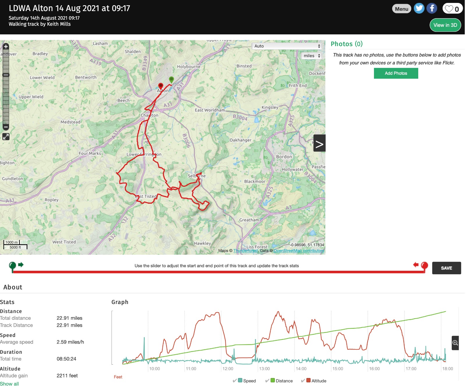
Tea with Jane and Gilbert - Alton Circular, Saturday 14th August 20218 walkers, 23 miles - leader Jerome Ripp
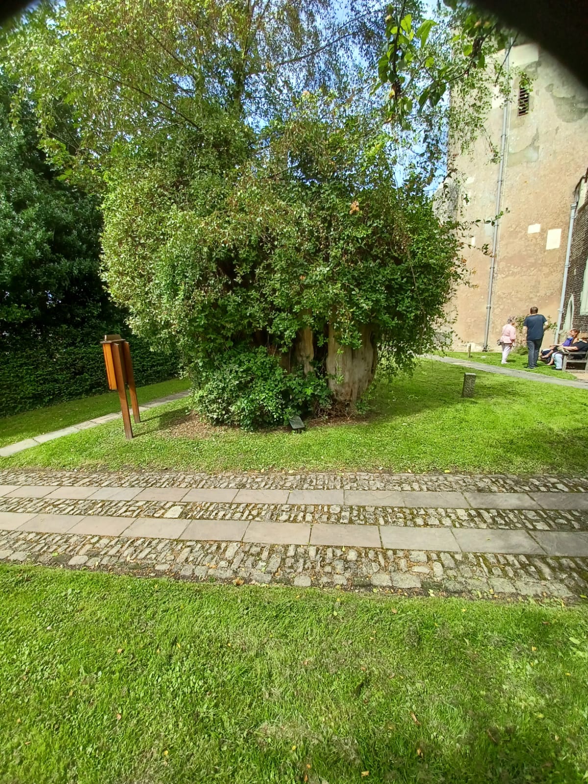
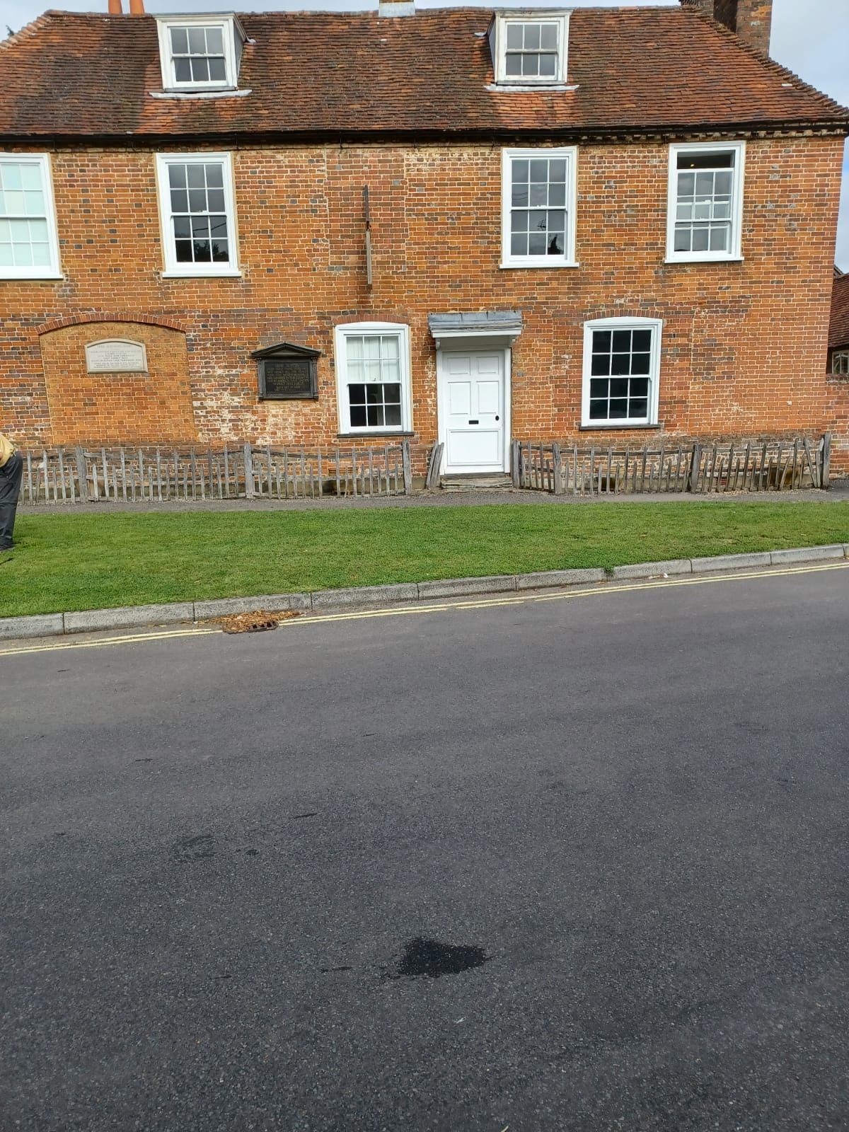
We started on the Jane Austen Trail through the centre of Alton passing buildings that were known to her over 200 years ago and also watching the Saturday Farmers market setting up. Into Chawton and passing the house where she lived with mother and sister and then the entrance to the impressive Chawton House where her brother lived. Across to Upper Farringdon which she describes in a letter where she went to have tea. We continued, without tea, over to Newton Valence and the Hangars countryside associated with Gilbert White. We followed part of a new route called the Writers Way. Across a rather muddy Selborne Common and the classic Zig Zag route to Selborne village with lunch on the green by the church with its ancient Yew. Church bells rang out, an organist played "Jerusalem" a quintessentially English scene.
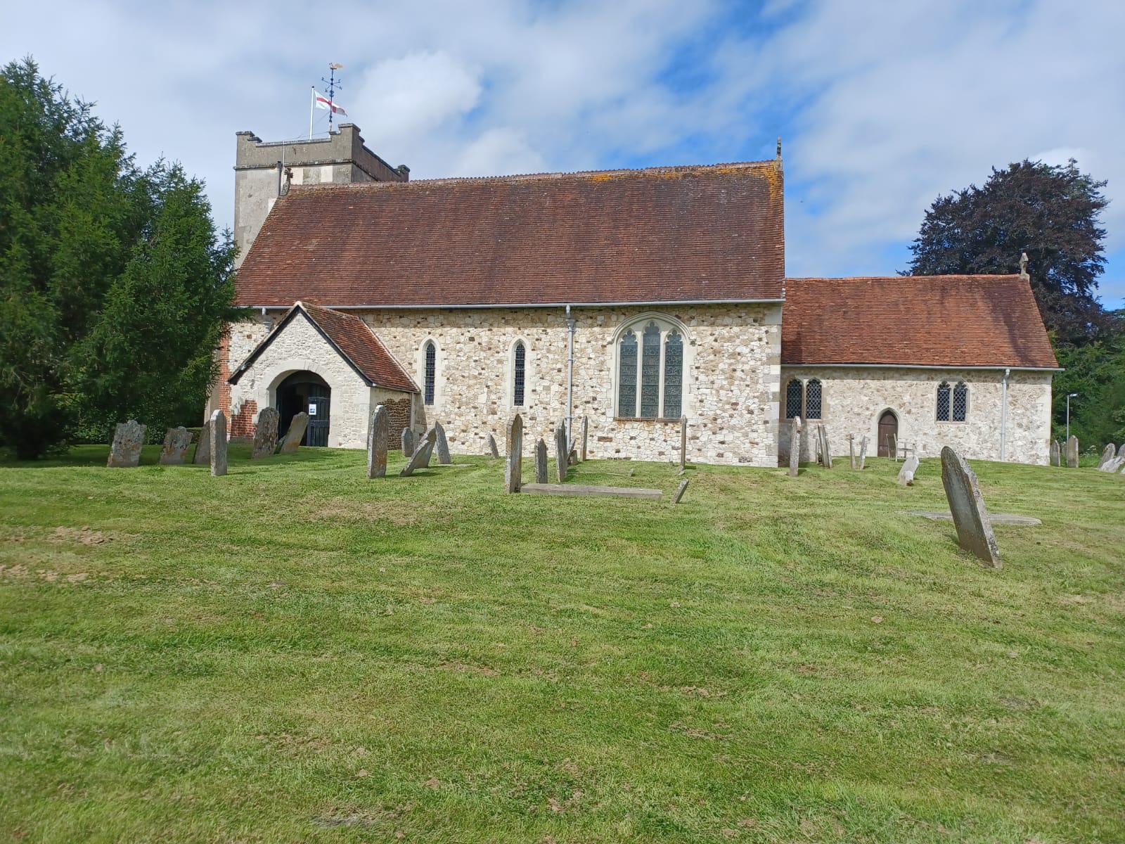
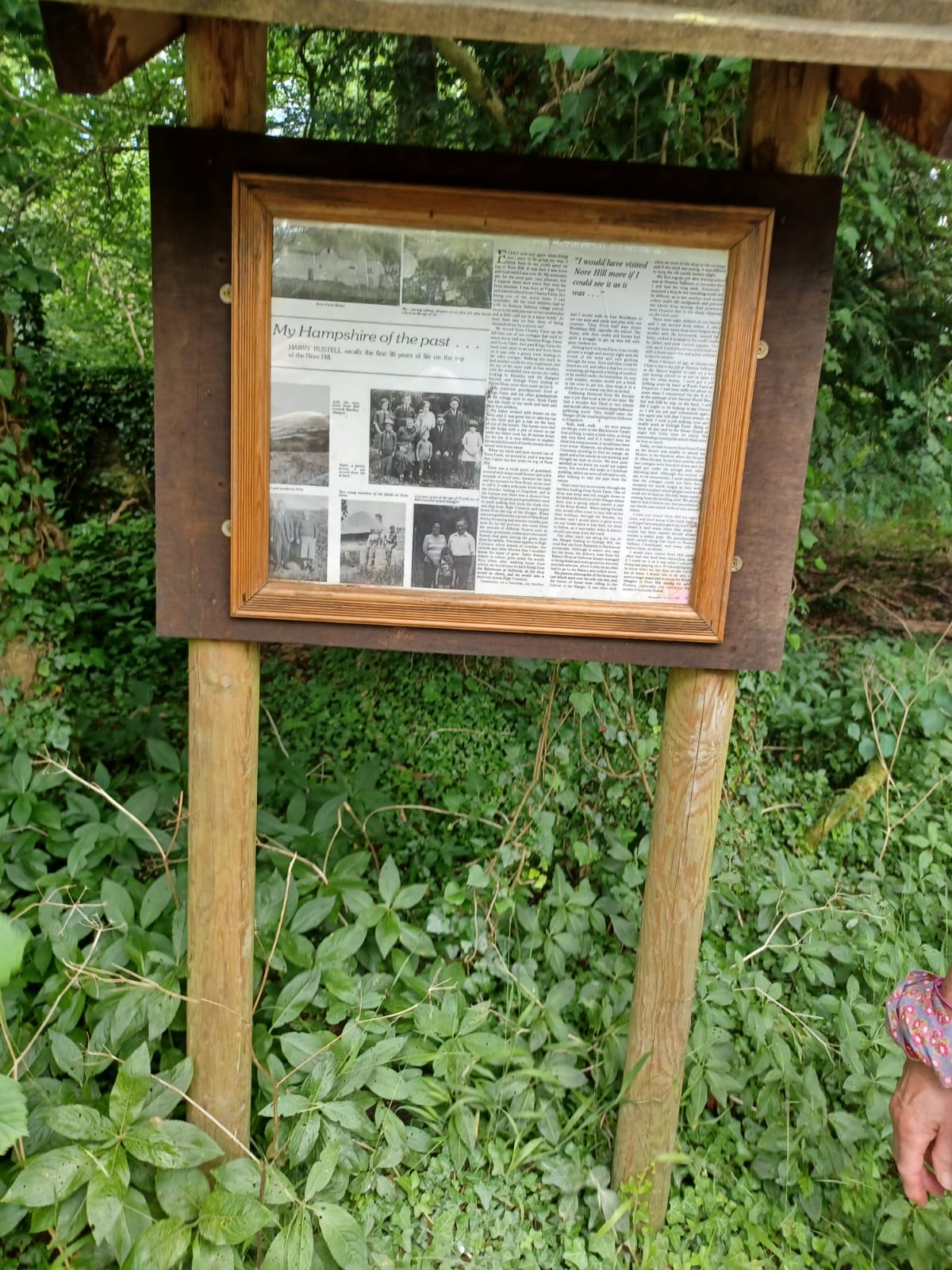
A circuit of Noar hill and back to Newton Valence, (some people might call this a loop) East Tisted church and Rotherfield Park followed. The beautiful scenery was accompanied by glorious sunshine and a fine end to the day as we headed back through more woodlands and then a lovely fast disused railway track back to Chawton and Alton.
Photographs by Jerome Ripp
Other Files
Download Walk ReportGPX
A GPX file of the above route may be downloaded by clicking the link below.
Note: GPX files of Group Walks are created by LDWA Group members, and may be downloaded only by other LDWA members. They should not be made available outside the LDWA, and are used at members' own risk.
Login to Download (Members Only)You can use the interactive controls to zoom in and out and to move around the map, or click on a path or a marker for more info. (interactive map help)
You can use the interactive controls to zoom in and out and to move around the map, or click on a path or a marker for more info. (interactive map help)
© OpenStreetMap contributors under Open Database Licence
Rights of way data from selected Local Authorities
Large scale digital mapping is provided by John Thorn
At high zoom levels the route is indicative only.
Gallery
Maps:
You can use the interactive controls to zoom in and out and to move around the map, or click on a marker for more info. (interactive map help)
© OpenStreetMap contributors under Open Database Licence.
Rights of way data from selected Local Authorities.
Large scale digital mapping is provided by John Thorn.


