


The Danbury Ridge
Sat 3rd Jul 2021
Walk Details:
Event Type
Group Walk
Region
Southern England
Local Group
London
Distance
20ml.
Start Time
09.33
Route
Witham Station; 09:33 (08:47 from Liverpool Street) Finish: Chelmsford Station (Return to London in approx 30mins frequent service)
Witham to Chelmsford - A fascinating frolic through field and forest to the heights of Danbury, and on to the centre of the City of Chelmsford alongside water meadows, canal and river
General Notes
Speed restriction of 3mph for first 14 miles where bus connections are available to Chelmsford (£3:50 approx). Morning coffee break at 6 miles, late lunch at 13 Wetherspoons near finish
Prior registration required and restricted to 14 participants
Web Site
Start
Finish
Entry Details:
Cost
Walk Report
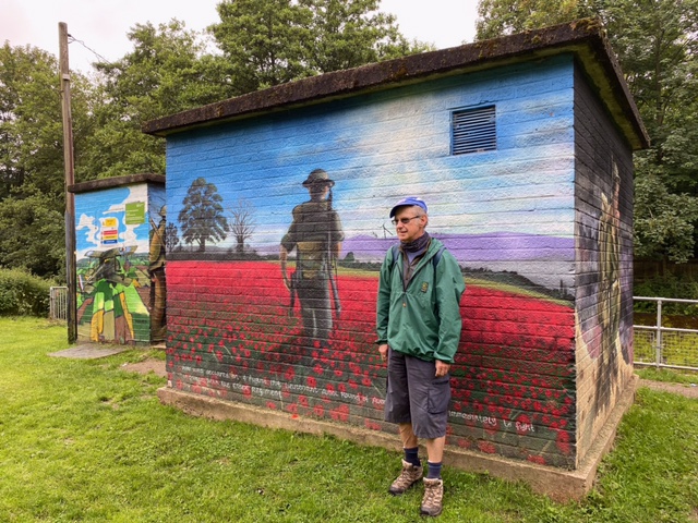
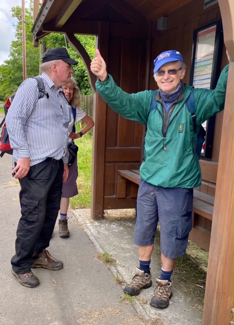
The Danbury Ridge, Saturday 3rd July 20218 walkers, 19 miles - leader Ron Williamson
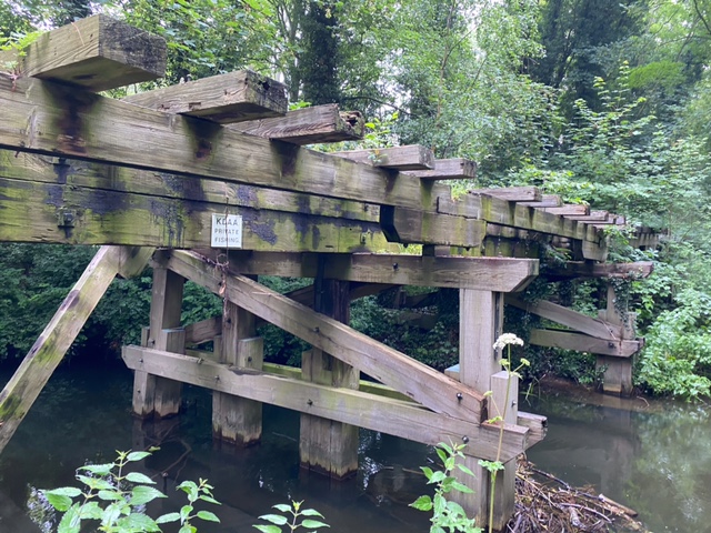
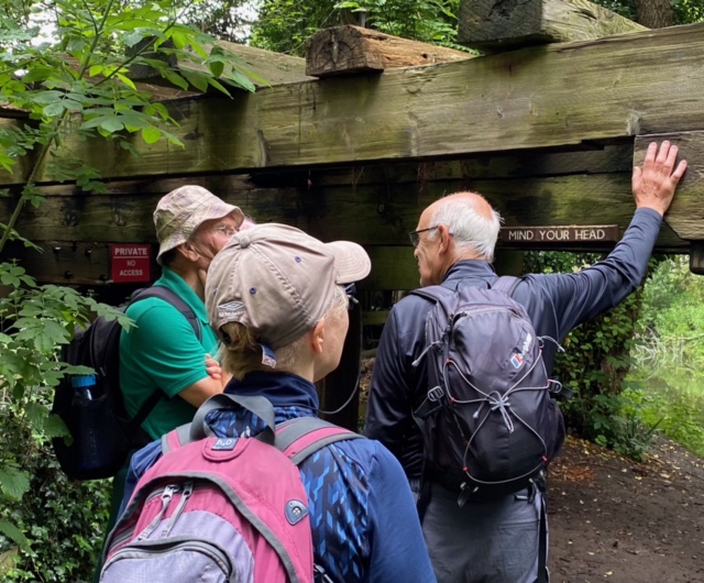
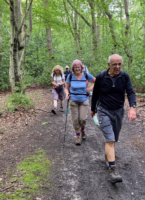
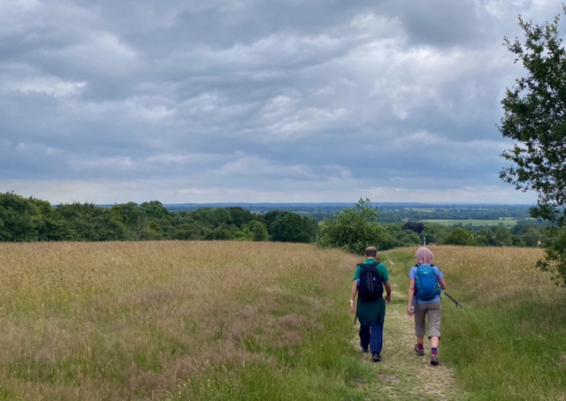
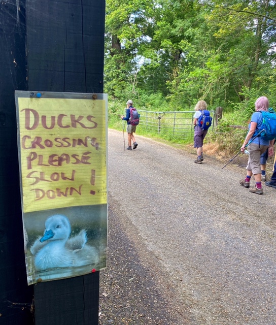
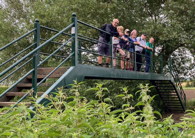
A walk from Witham, a town on the A12, to the city of Chelmsford via the hilltop large village of Danbury. In its 19 miles this walk manages to cram in a great deal of variety. Well maintained linear municipal parks, mature verdant forest, grassy paddocks, vast arable fields, former country estates, and a peaceful canal towpath were some of the landscapes we passed through. Extravagant country homes, a redundant church and industrial relics added to the interest whilst leaving time for mud-larking, invigorating bramble-bashing and climbing to the highest point in South Essex.
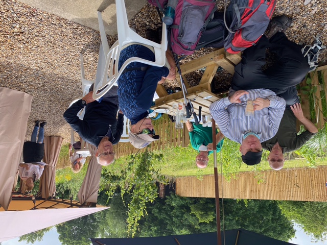
A good stopping place for morning coffee and a fine country pub for lunch boosts this walk wow factor and added to that there is a Wetherspoons near the finish (not visited this time as needed to be home in time for the football)
A great walk well recommended.
Photographs by Keith Lane
Other Files
Download Walk ReportGallery
Maps:
You can use the interactive controls to zoom in and out and to move around the map, or click on a marker for more info. (interactive map help)
Contains Ordnance Survey data © Crown copyright and database right 2016.
© OpenStreetMap contributors under Open Database Licence.
Rights of way data from selected Local Authorities.
Large scale digital mapping is provided by John Thorn.
© OpenStreetMap contributors under Open Database Licence.
Rights of way data from selected Local Authorities.
Large scale digital mapping is provided by John Thorn.


