


An alternative Essex Way precursor 1
Tue 4th May 2021
Walk Details:
Event Type
Group Walk
Region / Area
Southern England / London
Local Group
London
Distance
12ml.
Start Time
10:45
Route
Liverpool St station outside main entrance near McDonald's
Finish: Roding Valley station
The first of a series of walks across Essex for those who want to start from London
General Notes
Restricted to 14 walkers, prior booking required at ronwilliamsonuk@gmail.com
Web Site
Start
Finish
Entry Details:
Cost
Walk Report
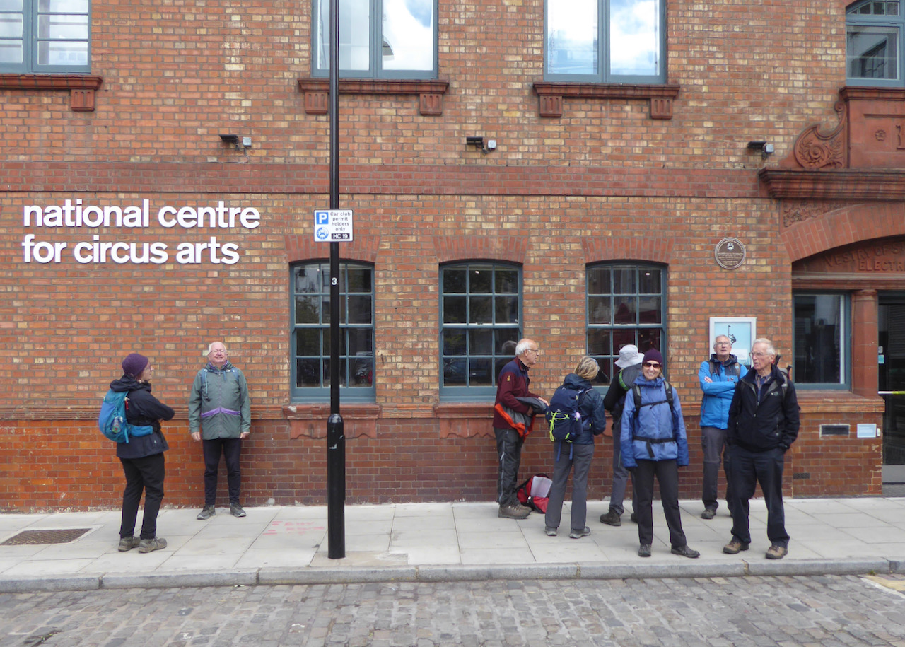
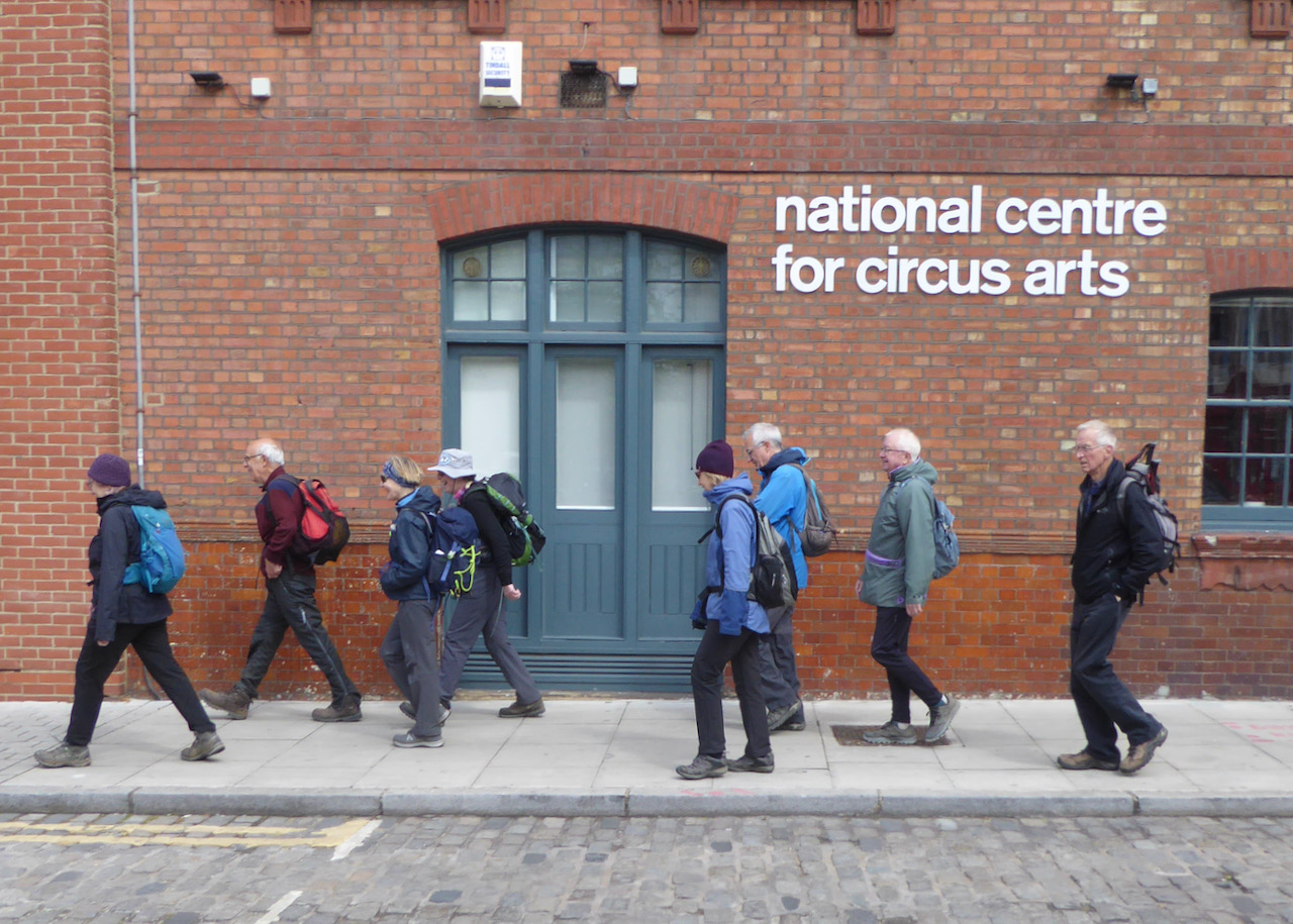
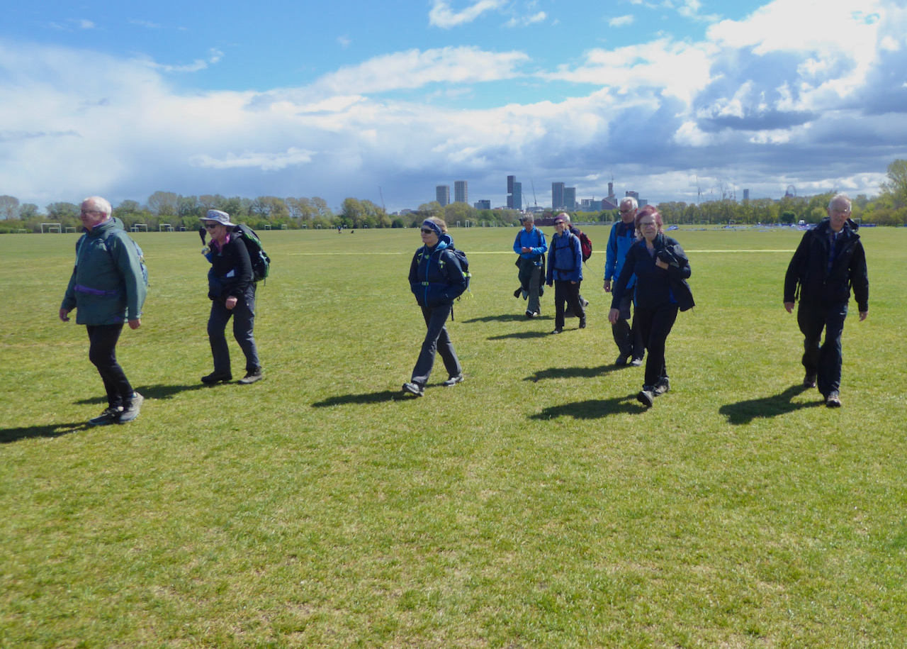
An Alternative Essex Way Precursor 1, Tuesday 4th May 202110 walkers, 14 miles - leader Ron Williamson
Idling the time away during lockdown the idea of a walk across Essex of some 80 miles in four stages all accessible by public transport was born. As lockdown progressed and with no sign of it ending the route was completed on paper so what next? It occurred to me that as a London group we should start in the capital and where better than the gateway to Essex Liverpool Street station.
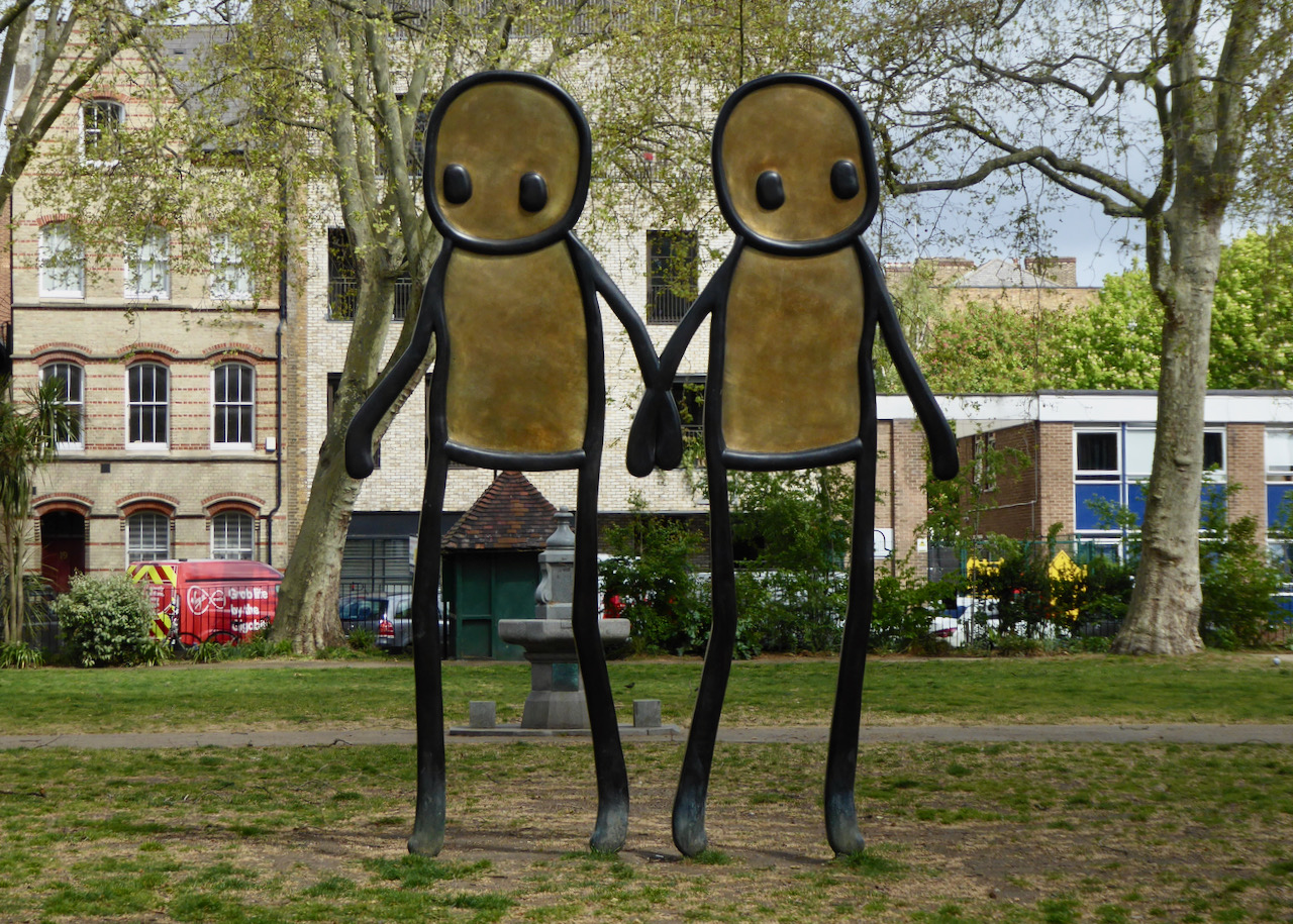
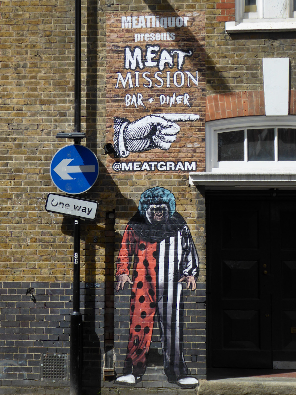
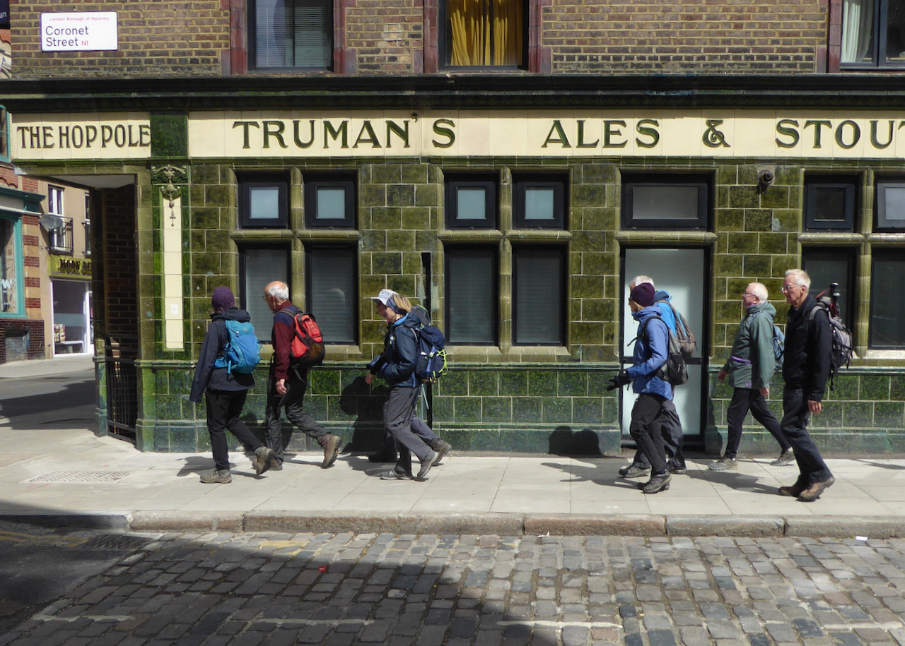
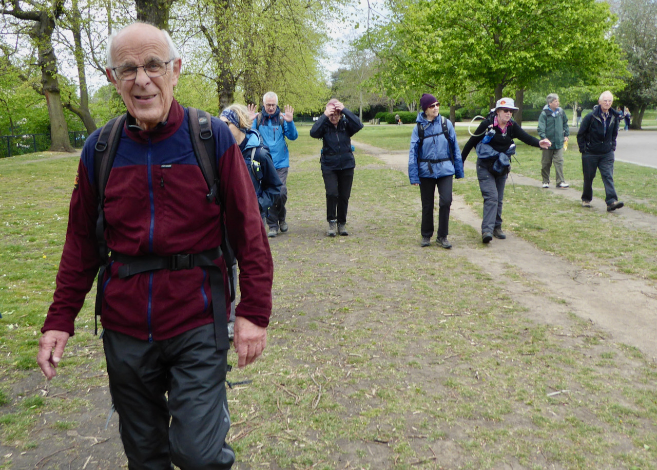
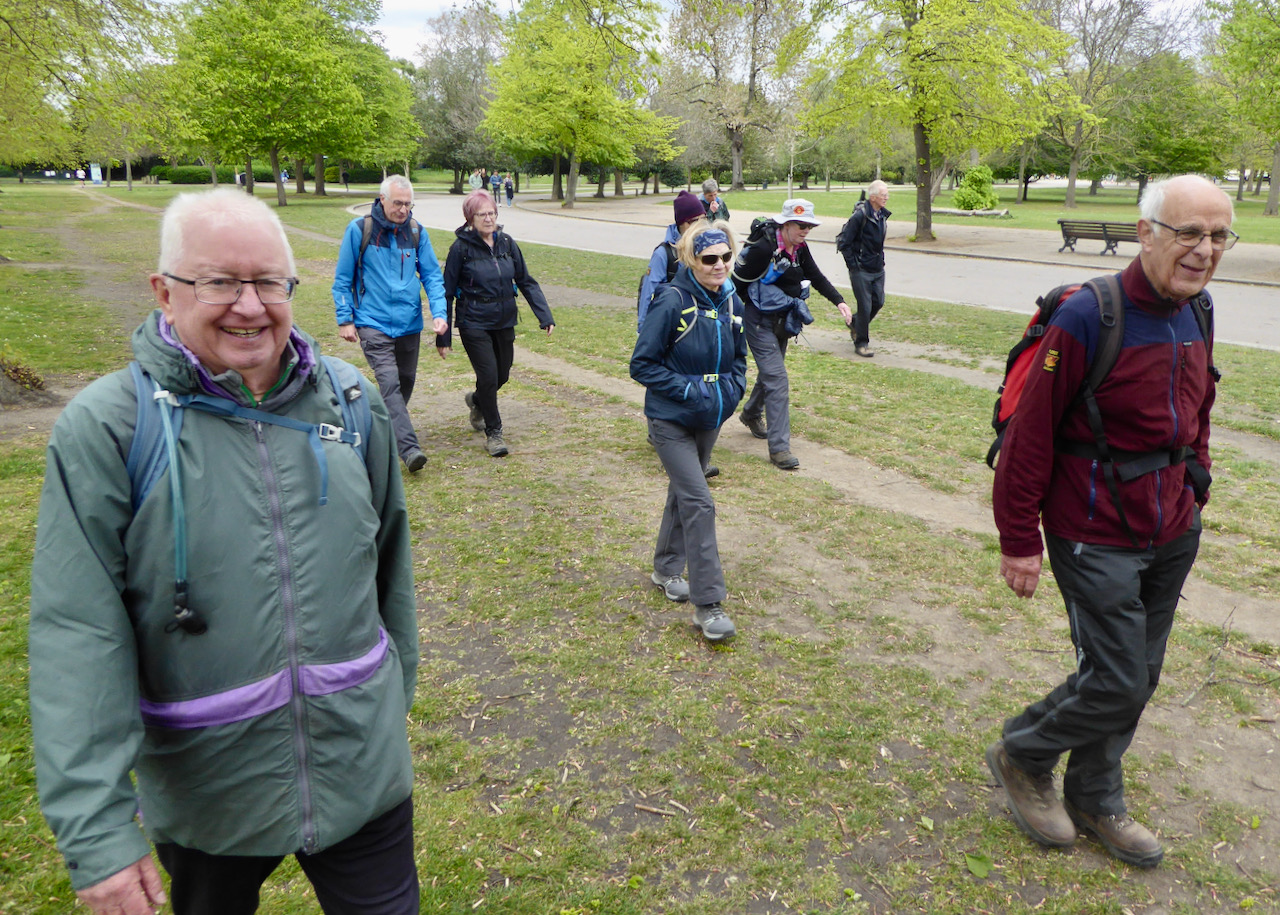
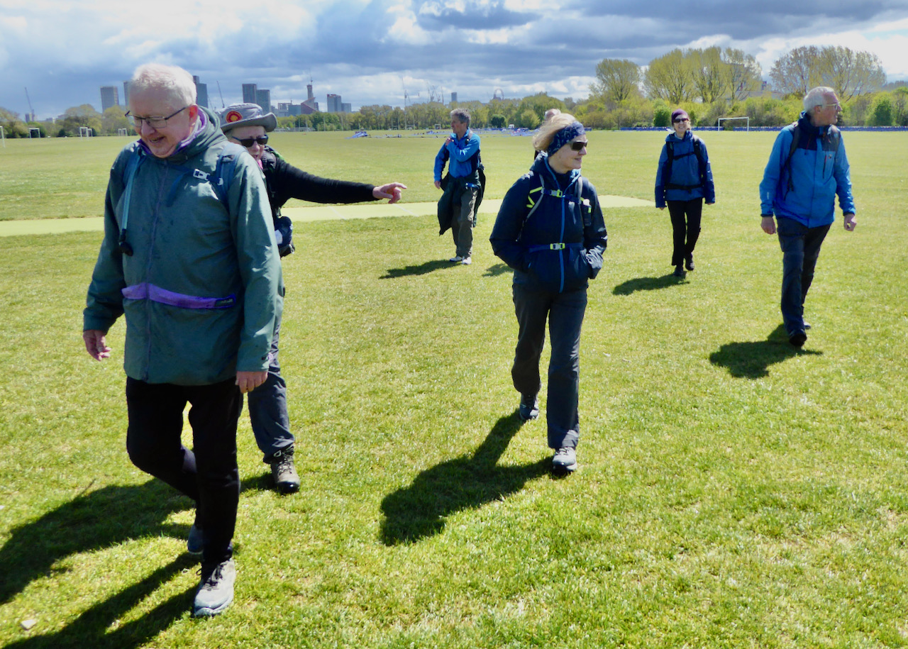
It was with the objective of completing the first leg of this route that nine of us met outside McDonalds by Liverpool St station, whilst another was busy trying to find "Ronald" near Fenchurch St station. Eventually we set off, initially north through Shoreditch and Hoxton to join the Regents Canal at De Beauvoir. Along the tow path we soon reached Victoria Park which was traversed to its NE corner where the Red Path gave us access to Mabley Green, still travelling north easterly and crossing Marshgate bridge to reach Hackney Marsh.
Our intention was then to cross the river Lea into The Waterworks Nature Reserve and continue northwards through Leyton and Walthamstow marshes to go into Walthamstow Wetlands at its Coppermill Lane entrance. Our plans were thwarted, however, by the bridge being closed for repair and the Wetlands deciding to close for the day because of the health and safety risk from the forecasted high winds. A diversion allowed us to visit Hackney Henge and follow the Lea Navigation tow path to our lunch stop at the Wetlands visitor centre which had remained open.
The after-lunch diversion, however, required a soulless trudge along Blackhorse Lane before rejoining the route at the Wetlands North Eastern entrance from which we were able to follow urban footpaths to a crossing over the North Circular some 200yds north of the Crooked Billet roundabout. Now following the route of the river Ching we soon passed the former Walthamstow stadium to reach Highams Park where we joined the Centenary Walk past the boating lake and onto Whitehall Plain. After navigating across the plain we followed the footpath into Tuttlebee Lane and onwards through Knighton Wood to reach Farm Way.
Then a final few hundred yards on suburban road to London Underground's least used station Roding Valley.
A route through many contrasting environments and offering some interesting route-finding; however I have to report that only five members completed the course, so will these Famous Five manage the complete journey to Manningtree still over 90 miles away?
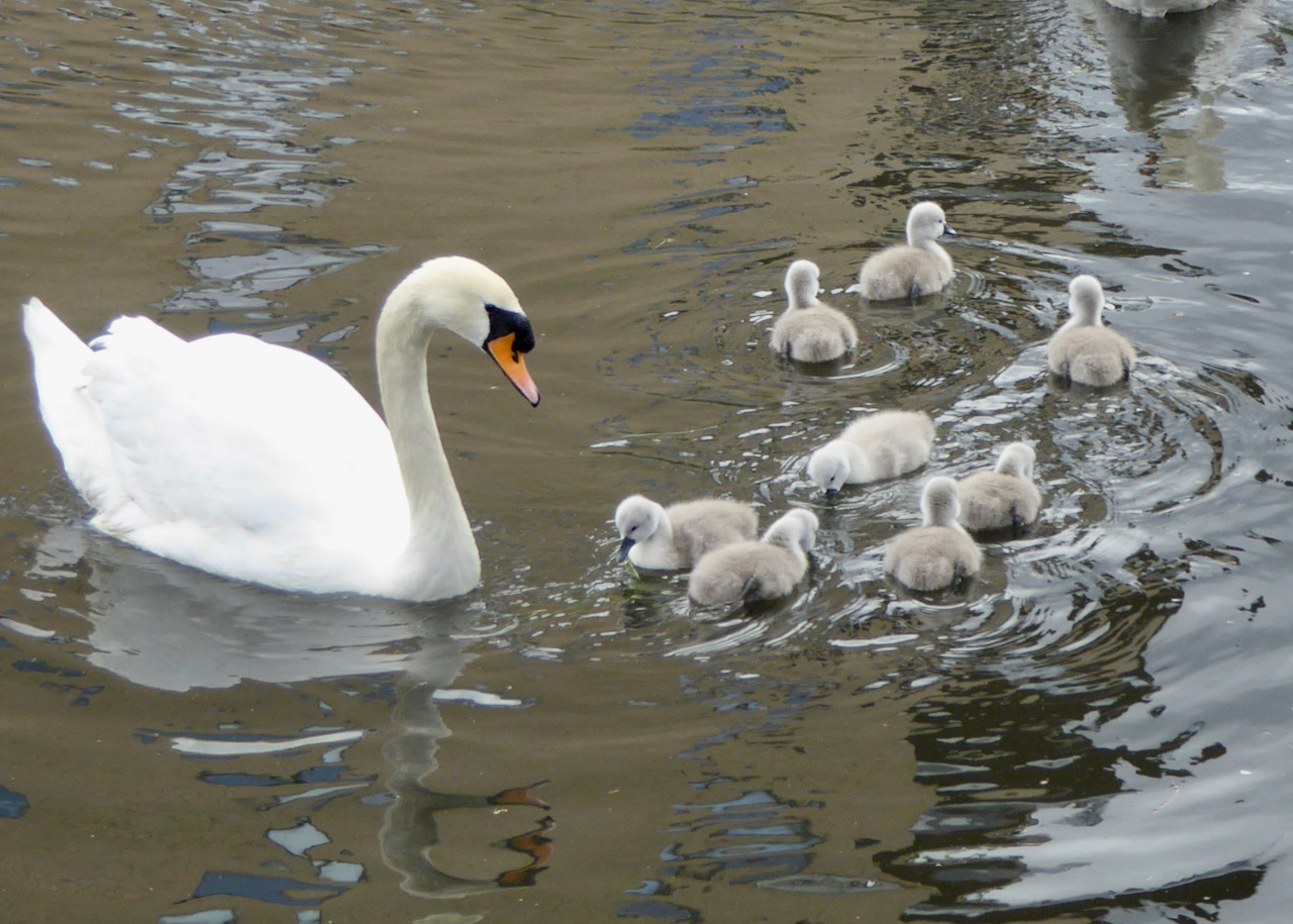
Photographs by Godfrey O'Callaghan
Other Files
Download Walk ReportGallery
Maps:
You can use the interactive controls to zoom in and out and to move around the map, or click on a marker for more info. (interactive map help)
Contains Ordnance Survey data © Crown copyright and database right 2016.
© OpenStreetMap contributors under Open Database Licence.
Rights of way data from selected Local Authorities.
Large scale digital mapping is provided by John Thorn.
© OpenStreetMap contributors under Open Database Licence.
Rights of way data from selected Local Authorities.
Large scale digital mapping is provided by John Thorn.


