


Midsummer on the Downs Challenge
Sat 3rd Jul 2021
Walk Details:
Inspired by a walk done exactly 10 years ago today, can you follow in the footsteps of Mike Ratcliff and Dave Williams? From Berwick, taking in Arlington Reservoir, Wilmington Hill, Jevington, Belle Tout, the Seven Sisters, Seaford Head and Firle Beacon.
Entry Details:
Walk Report
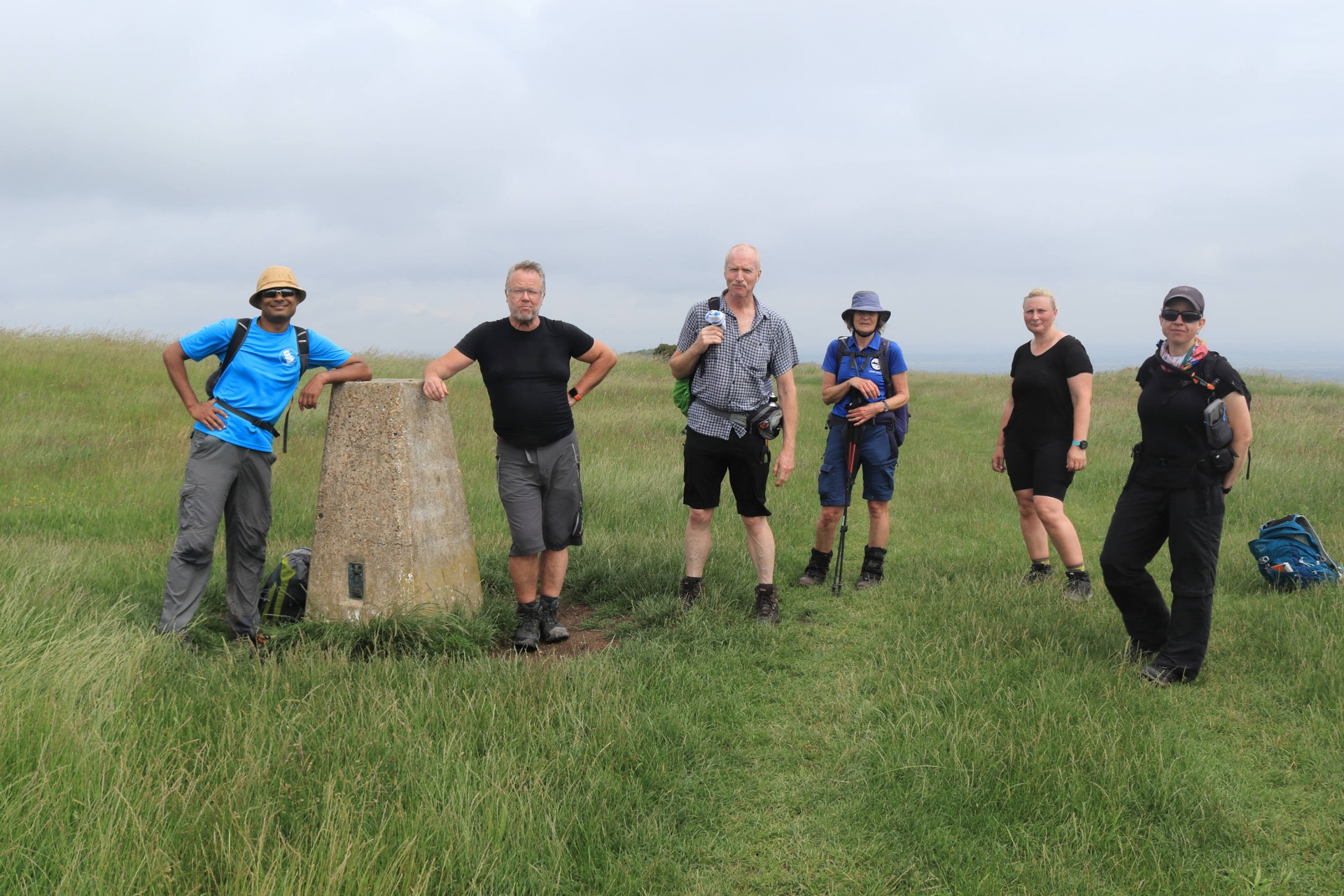
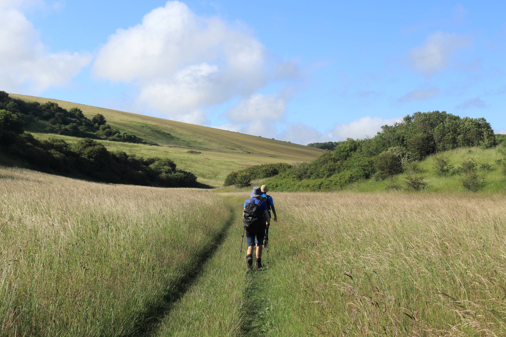
Midsummer on the Downs Challenge, Saturday 3rd July 20217 walkers, 31.9 miles - leader Gavin Fuller
On July 3 2011 Mike Radcliff and Dave Williams completed a lengthy Midsummer on the Downs circular from Berwick station, which so piqued the interest of the London Group's Webmaster when he loaded the report onto the Walks Database that he got the map out and worked out a route linking all the places mentioned in the report. As July 3 2021 fell at the weekend it seemed appropriate to try retrace their steps exactly a decade on; could anybody follow in their footsteps?
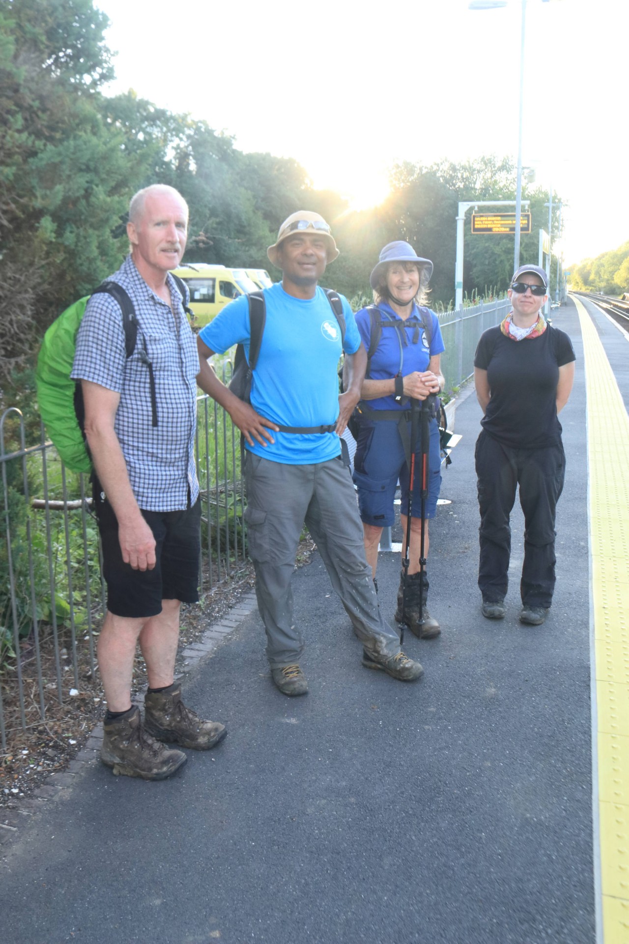
Things got off to a bad start when a trespasser on the line at Lewes played havoc with the trains which meant over half of those coming were over half a hour late getting to the start, but in a neat bit of synchronicity with a decade previously exactly the same number of starters (seven) as on that walk eventually set off from Berwick just as the grey skies cleared to blue.
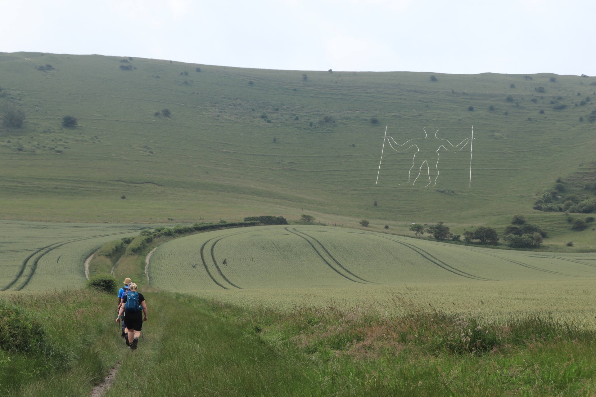
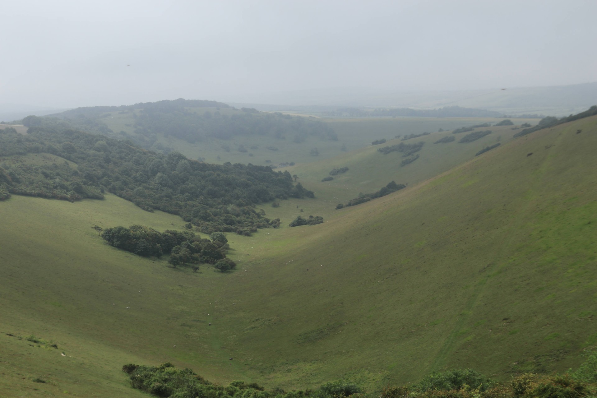
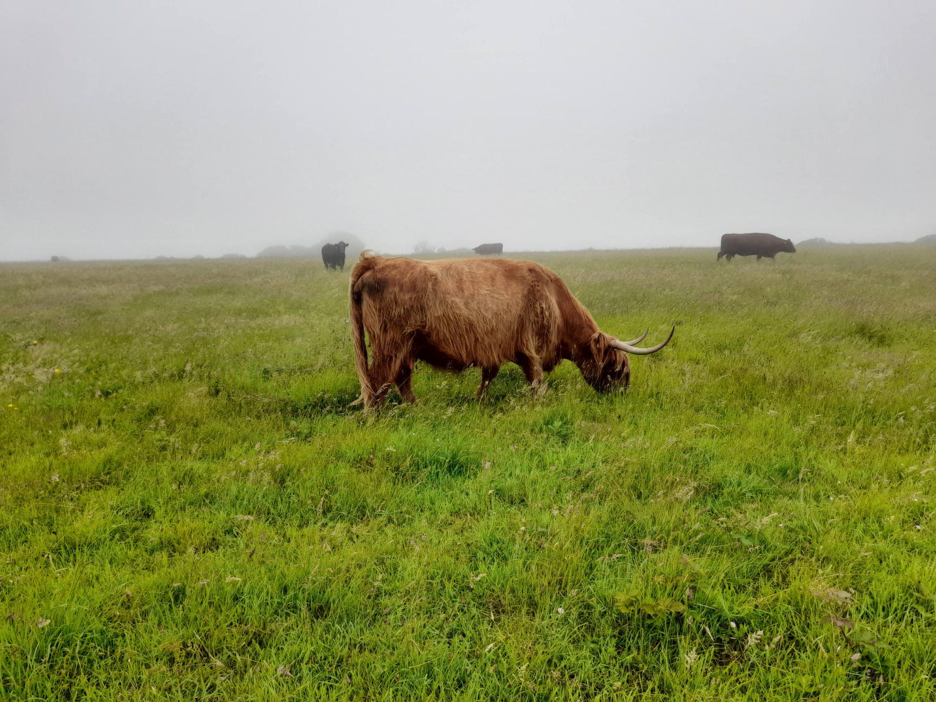
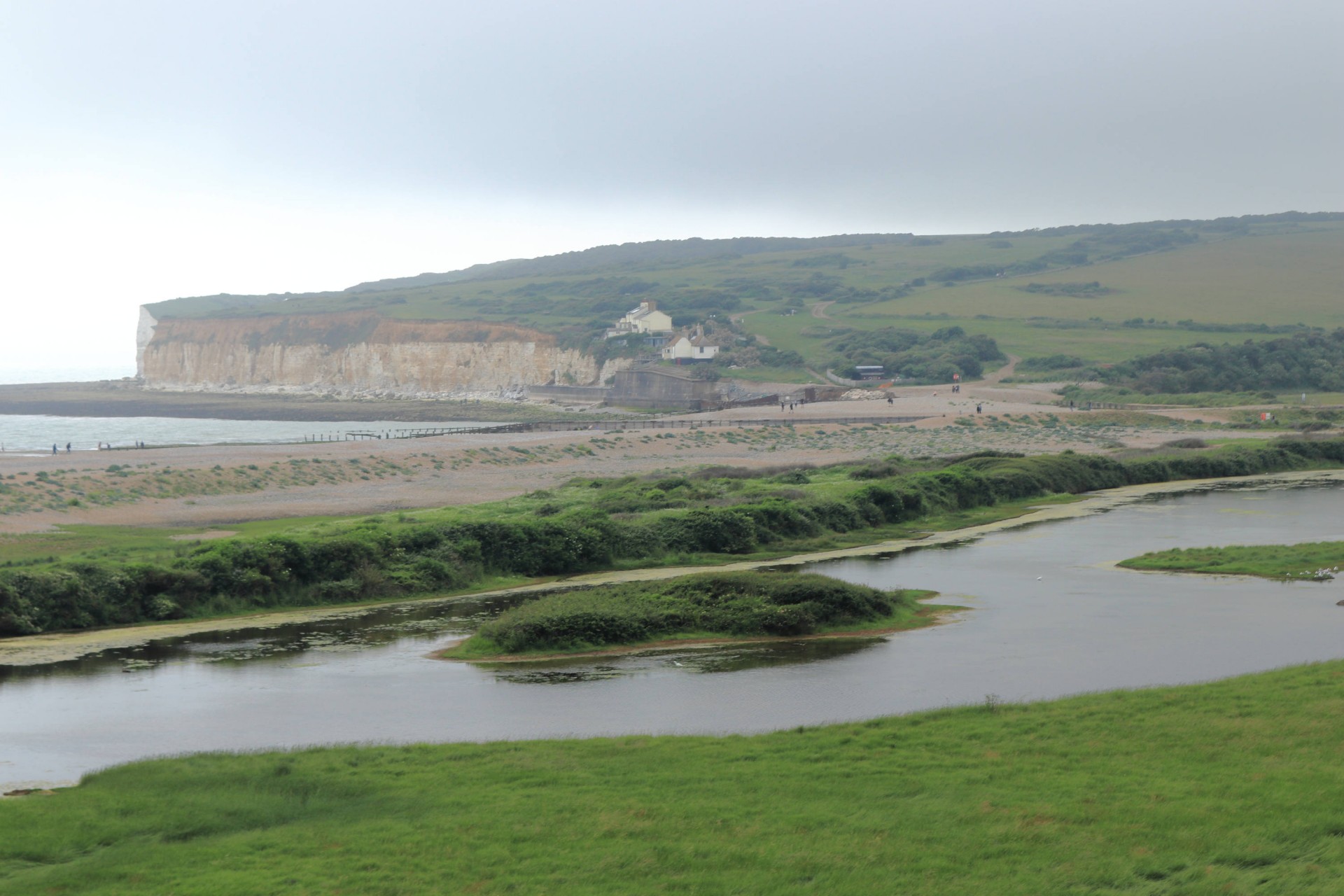
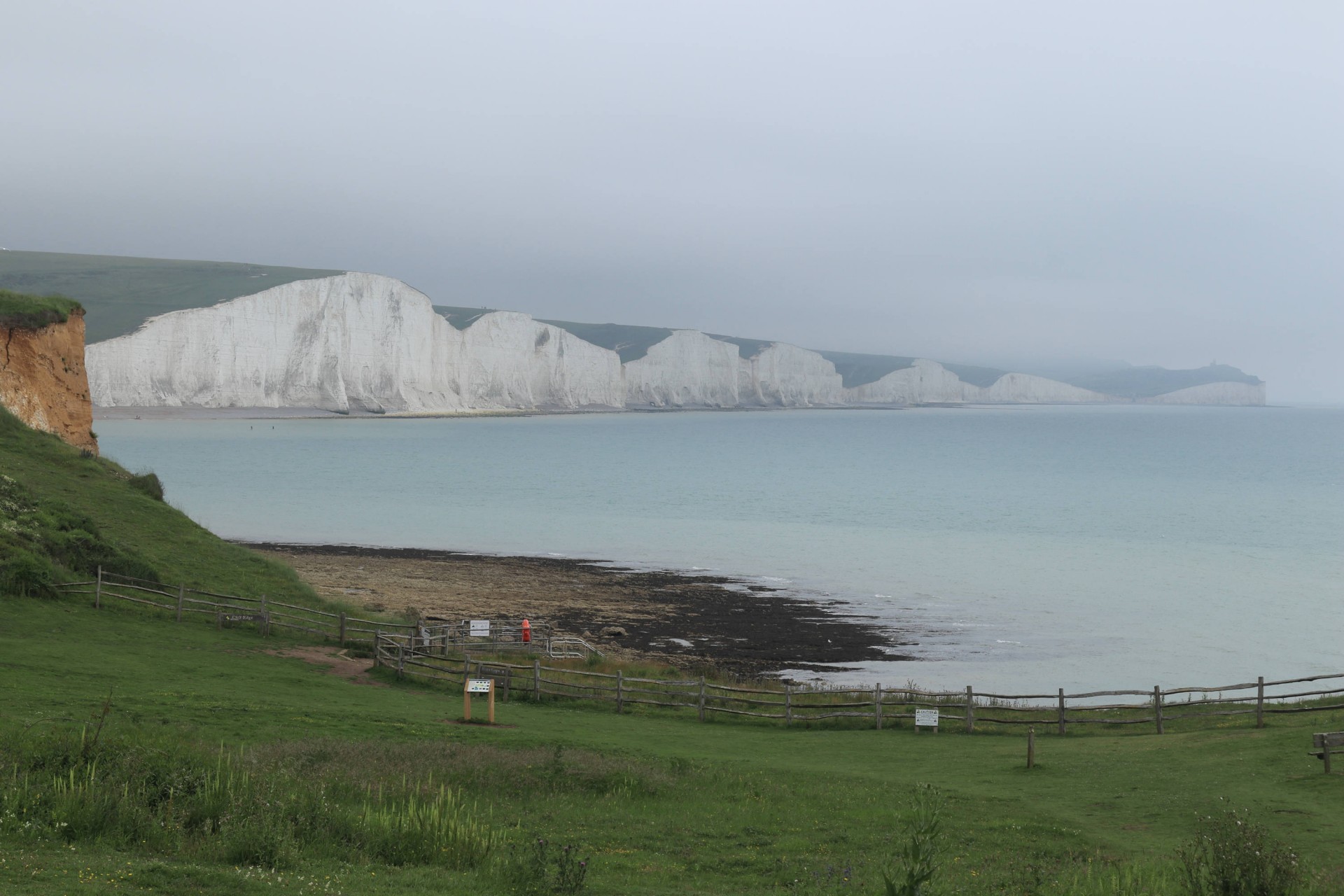
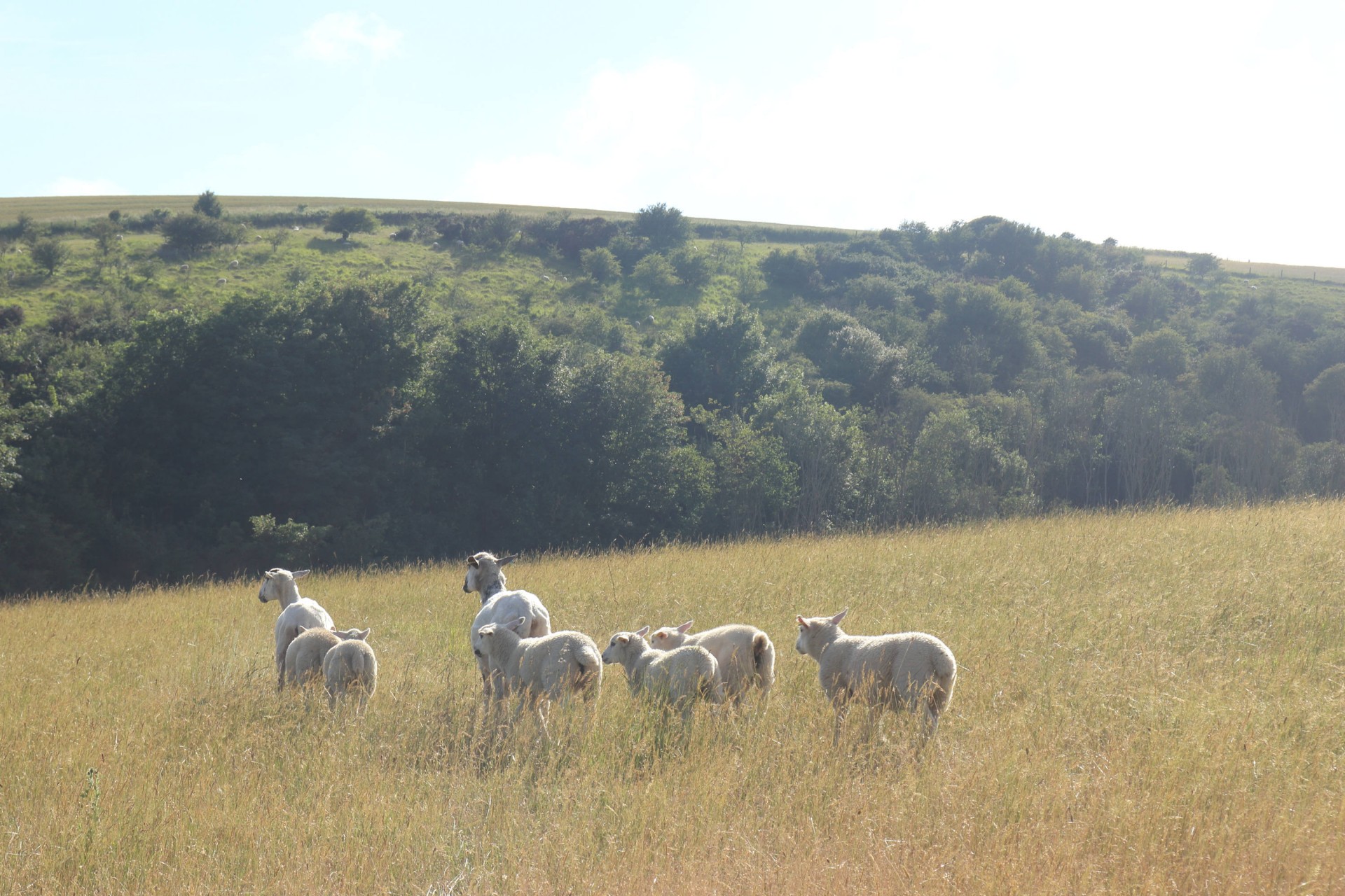
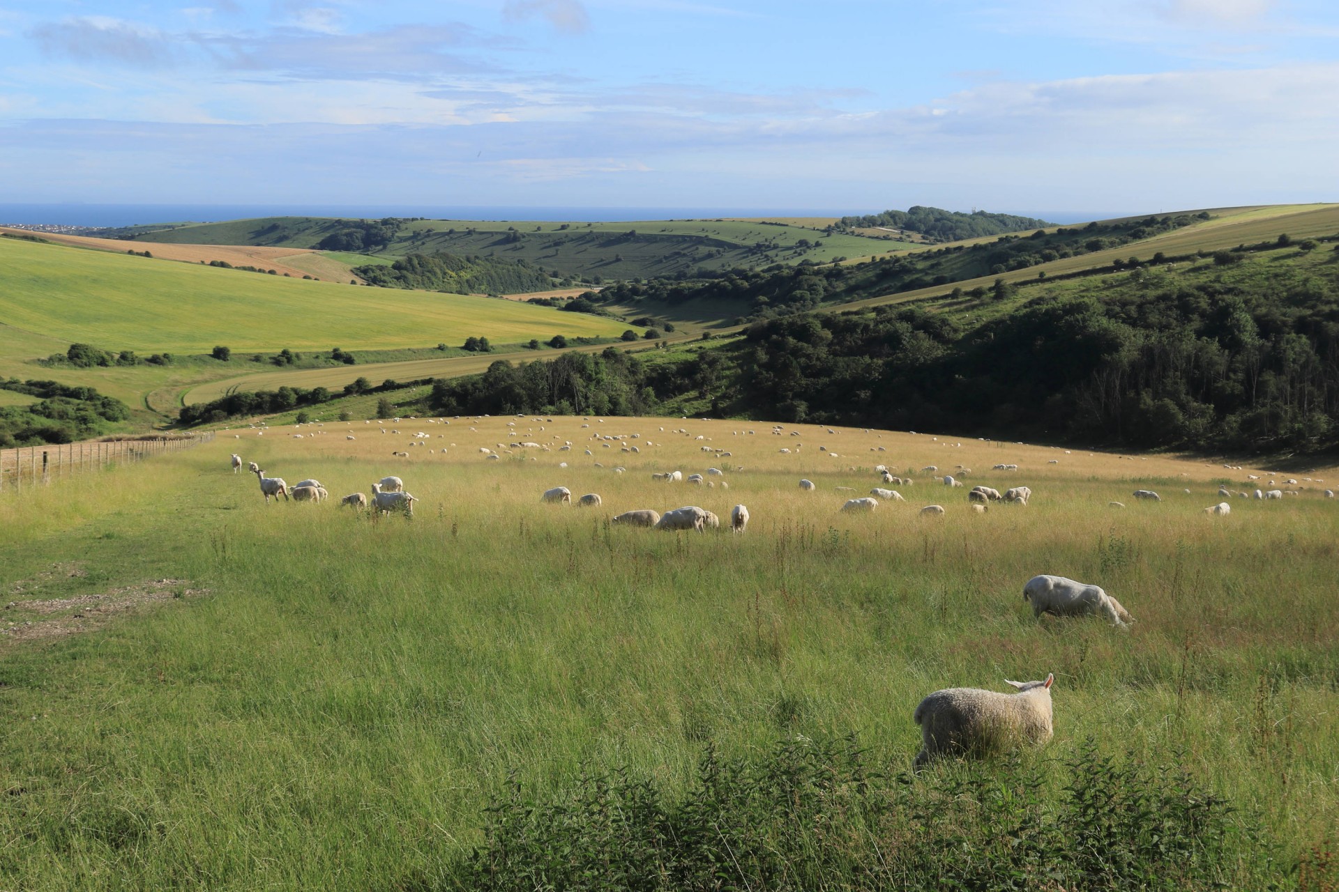
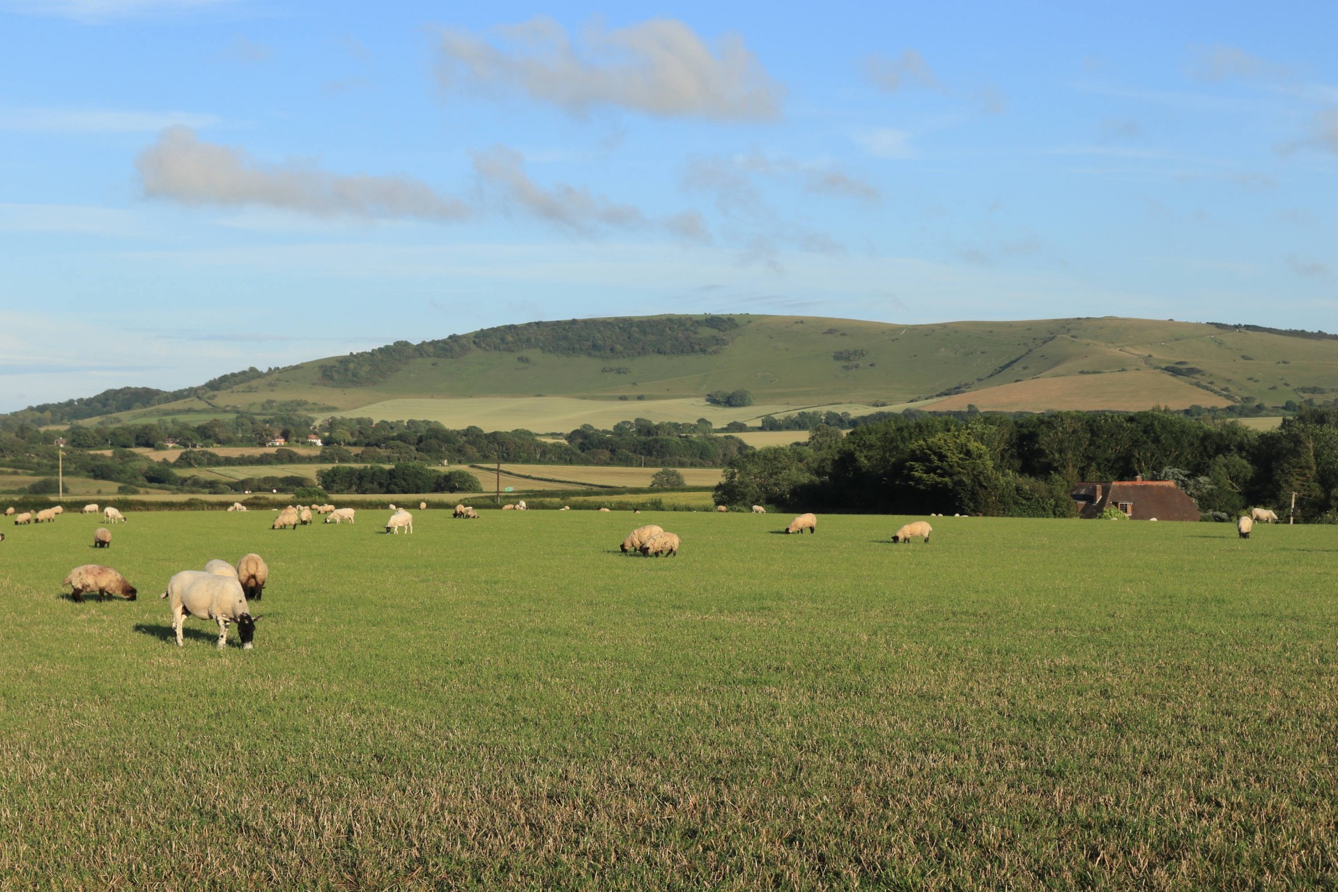
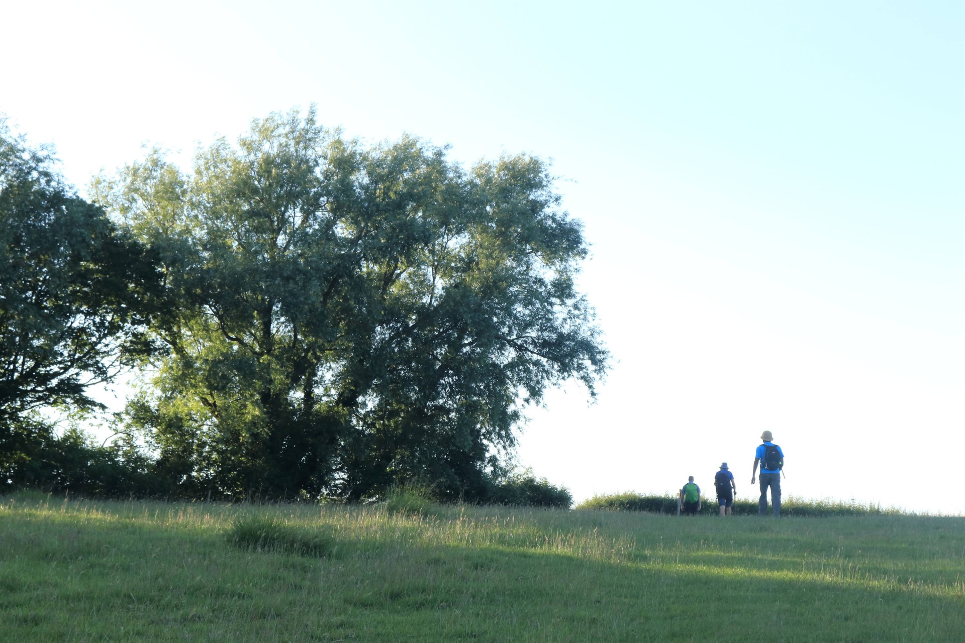
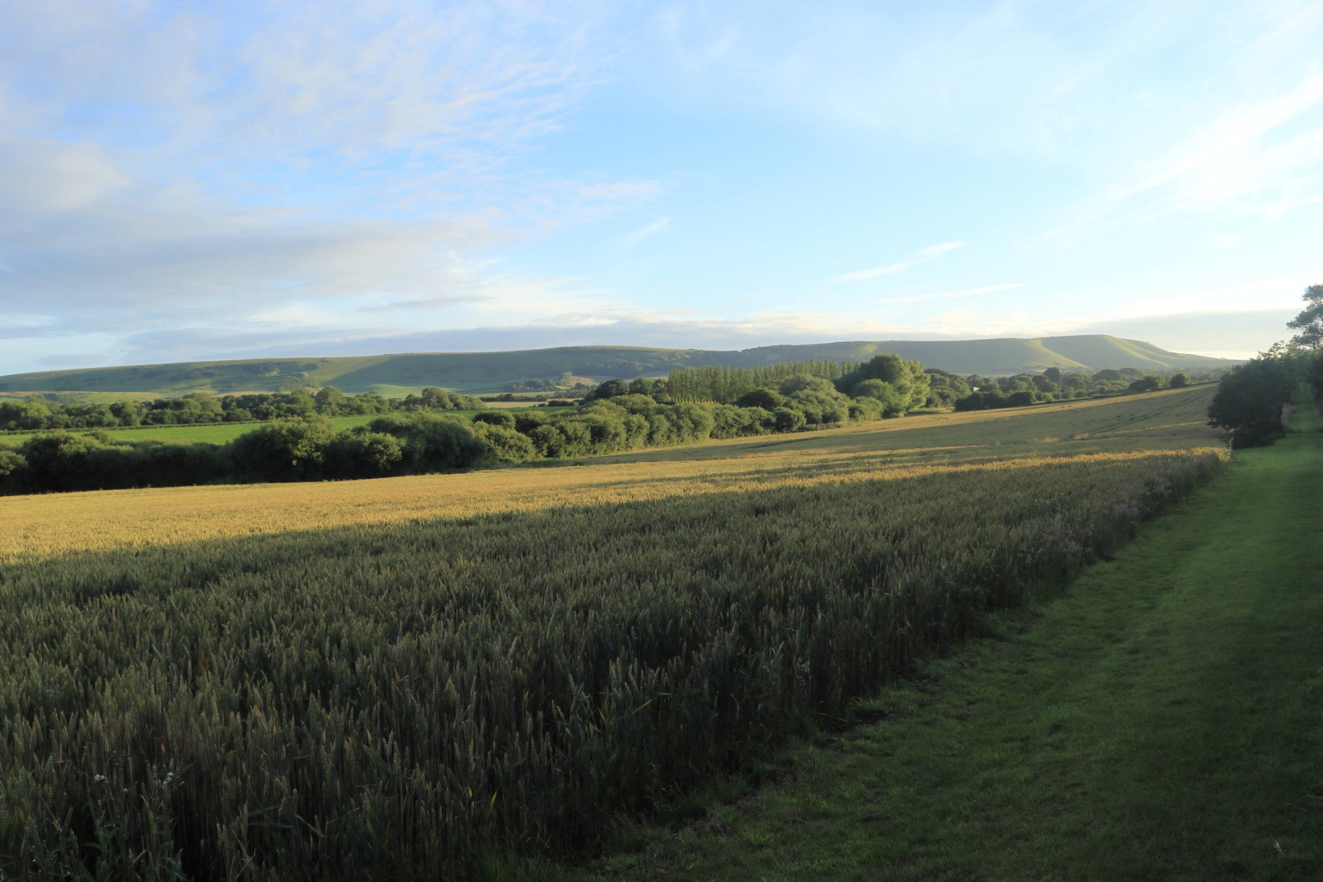
On past Arlington Reservoir the walk then joined the Cuckmere Pilgrim Trail and Weald Way to Wilmington along paths which needed a bit of clearance; overnight rain meant there were some squelchy feet by the time the downs were reached on Wilmington with the first quad-busting climb of the day to the side of the historic Long Man. On to the South Downs Way to Willingdon Hill, where one walker's comment that their trousers had now dried out from the earlier foliage inevitably brought on a rain shower to dampen them again. Fortunately this didn't last too long, and the walk continued its undulating way to Belle Tout and lunch at Birling Gap, too cool and overcast to necessitate a visit to the ice cream van alas. The precipitation reappeared just as walking resumed, rendering the Seven Sisters atmospheric, shall we say, but ceased by the time they were traversed.
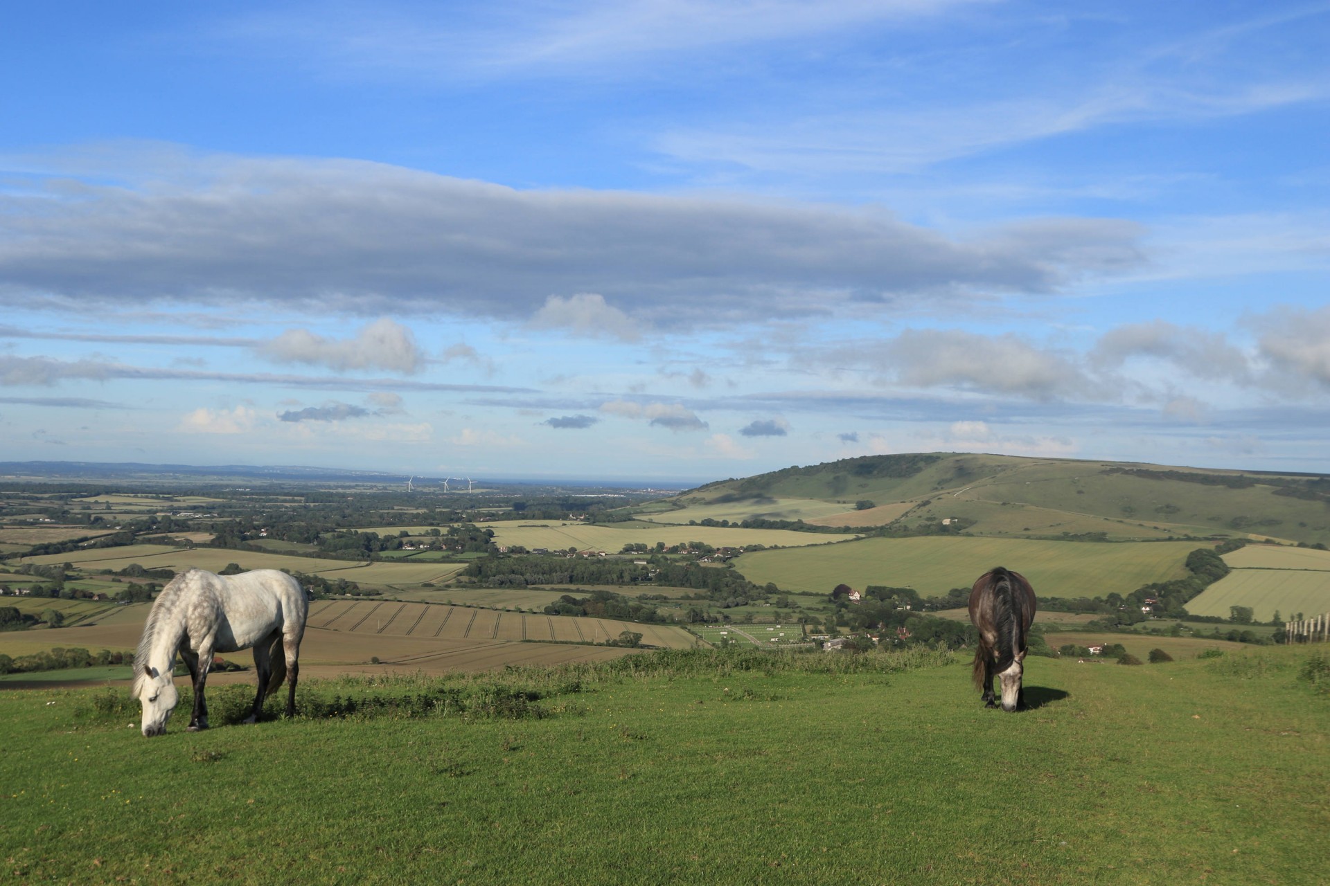
Seaford Head saw our first casualty of the day, one walker retiring hurt, but the rest pressed on, and were greeted by brilliant sunshine as they entered Seaford, which would remain with them for the rest of the walk. The late start and the hourly return train service from Berwick necessitated a shortening of the planned route at Bishopstone so as to ensure the walk met the 20.54 train but even 23 miles in a good pace was set as the walk returned to the South Downs. Meeting the Way near Firle Beacon saw our second retirement, a new member who was reassured not all walks we do are this lunatic in terms of length and pace, but the remained pressed on over the Beacon and Bostal Hill before descending to Berwick and picking up the Vanguard Way back to the station, with one final challenge of negotiating the vegetation near Stonery Farm.
So in an inversion of 2011 this time five finished the route, getting back to the station with half an hour to spare 10 hours and 50 minutes after leaving, having faced 2,659ft (810m) of ascent en route.
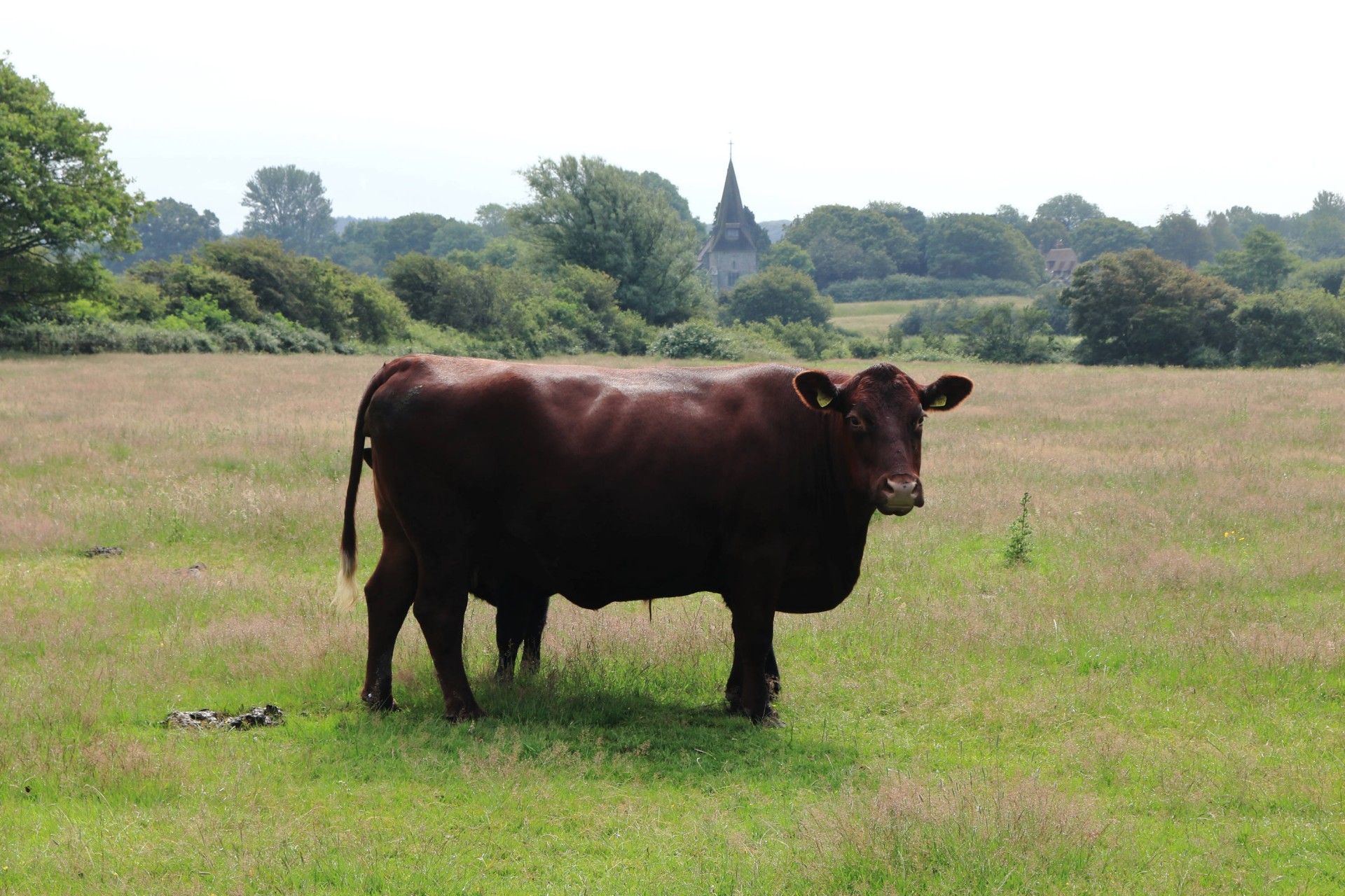
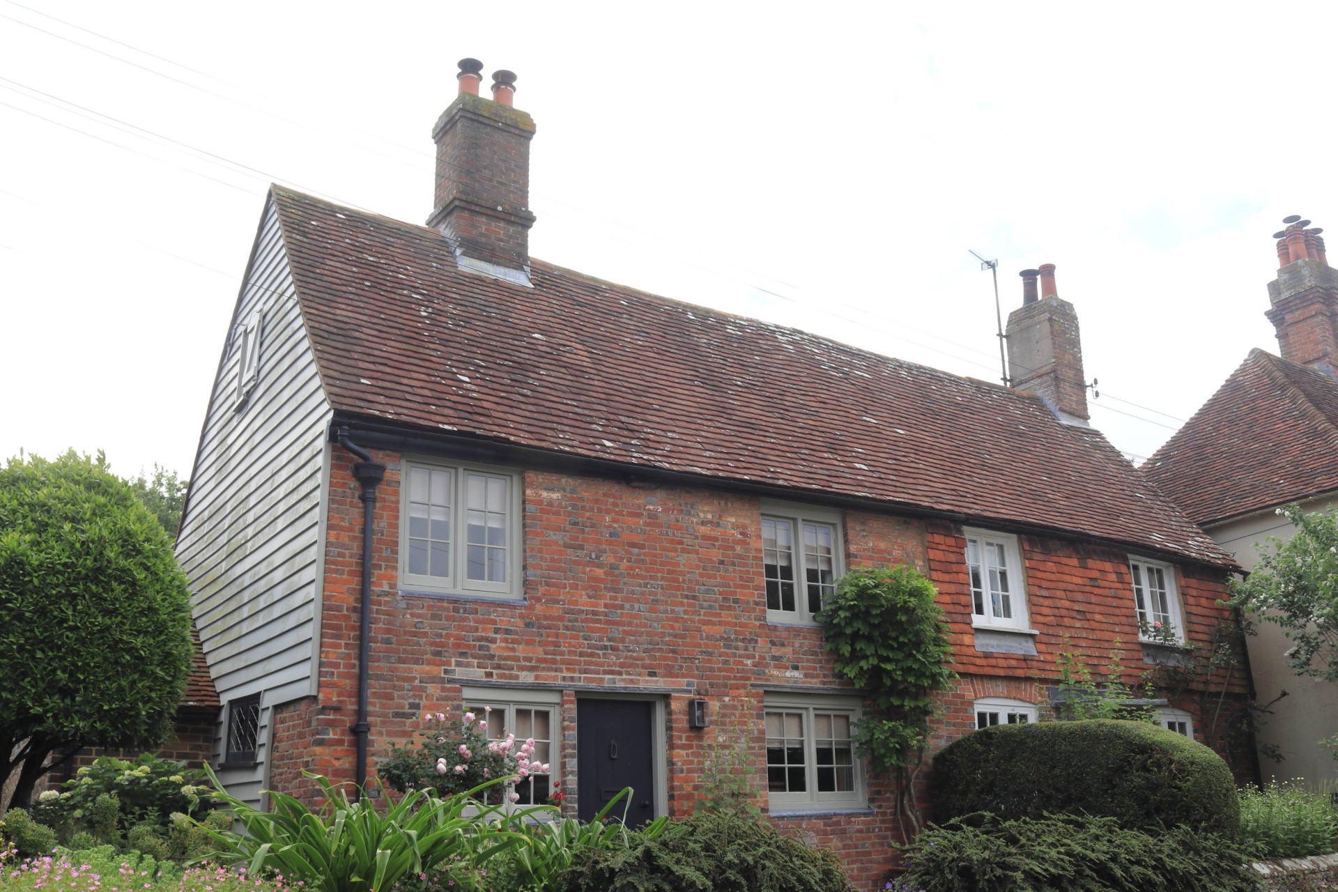
Photographs by Gavin Fuller.
Other Files
Download Walk ReportGPX
A GPX file of the above route may be downloaded by clicking the link below.
Note: GPX files of Group Walks are created by LDWA Group members, and may be downloaded only by other LDWA members. They should not be made available outside the LDWA, and are used at members' own risk.
Login to Download (Members Only)You can use the interactive controls to zoom in and out and to move around the map, or click on a path or a marker for more info. (interactive map help)
You can use the interactive controls to zoom in and out and to move around the map, or click on a path or a marker for more info. (interactive map help)
© OpenStreetMap contributors under Open Database Licence
Rights of way data from selected Local Authorities
Large scale digital mapping is provided by John Thorn
At high zoom levels the route is indicative only.
Gallery
Maps:
You can use the interactive controls to zoom in and out and to move around the map, or click on a marker for more info. (interactive map help)
© OpenStreetMap contributors under Open Database Licence.
Rights of way data from selected Local Authorities.
Large scale digital mapping is provided by John Thorn.


