


From Wombles to Wolsey
Sat 13th Nov 2021
Walk Details:
Through Parks and Commons to Hampton Court station taking in the borough tops of Merton, Wandsworth and Richmond en route
Entry Details:
Walk Report
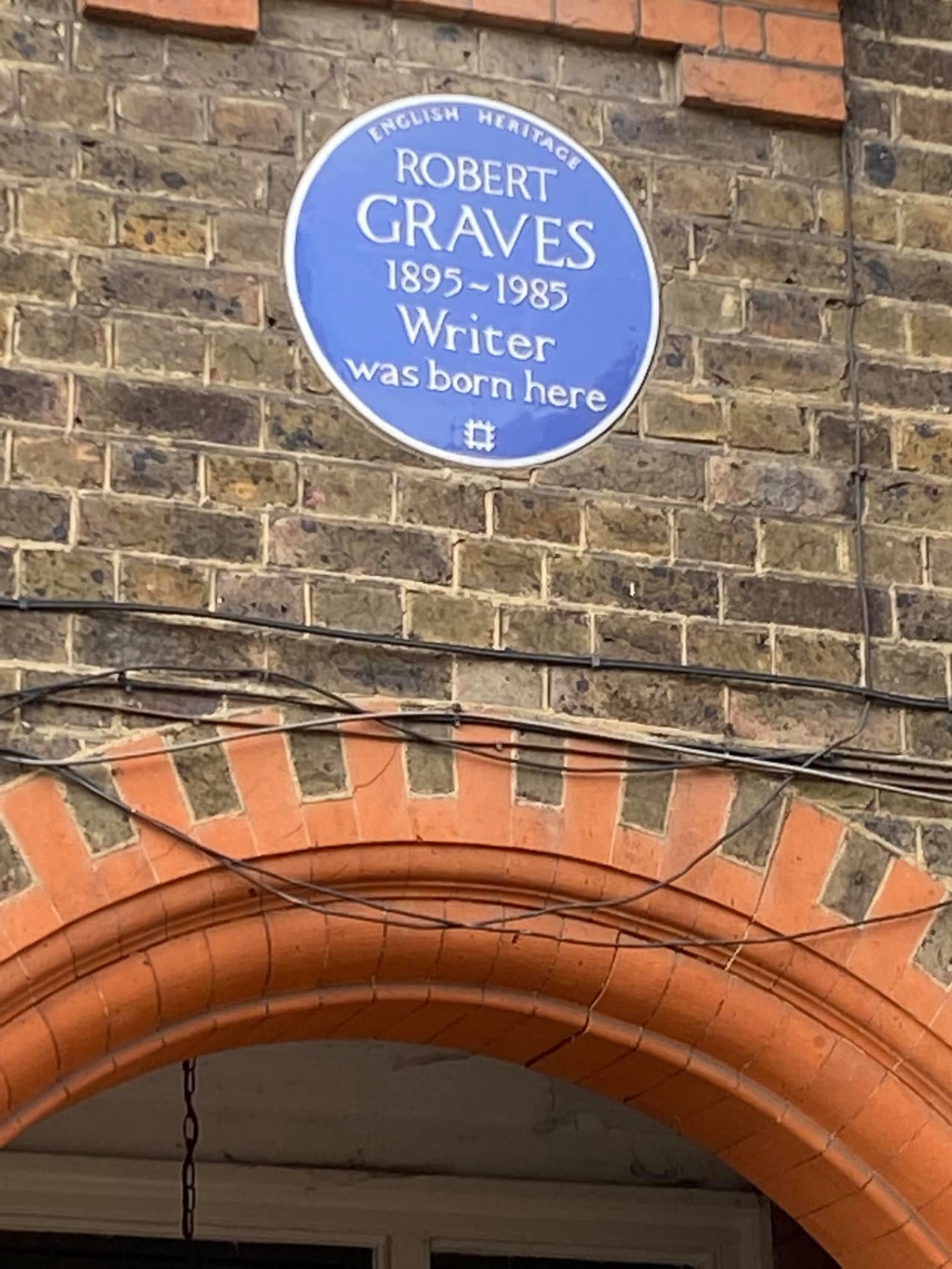
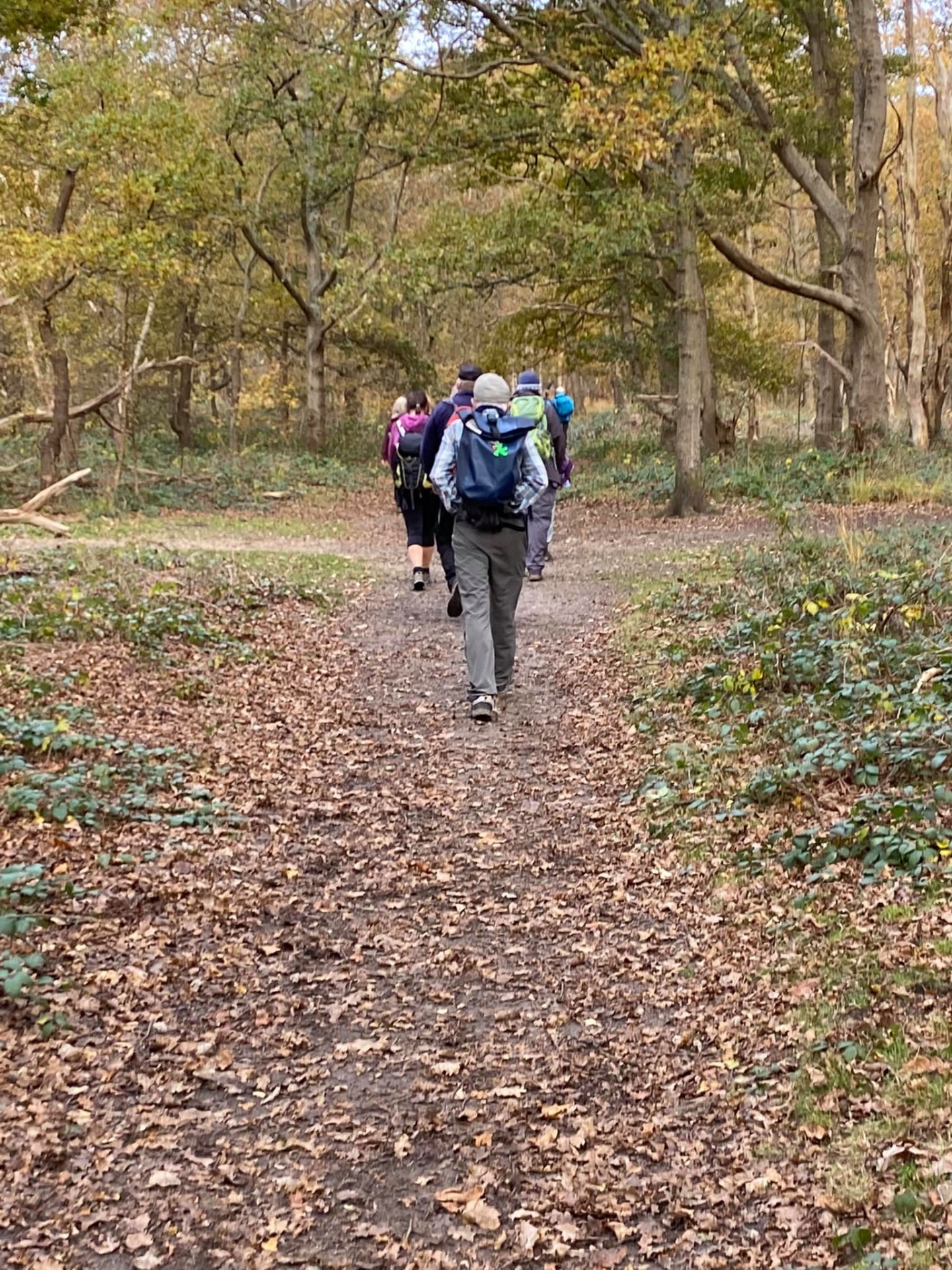
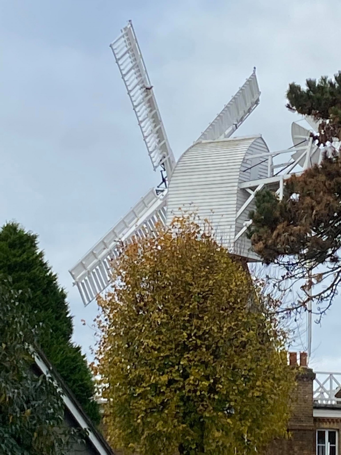
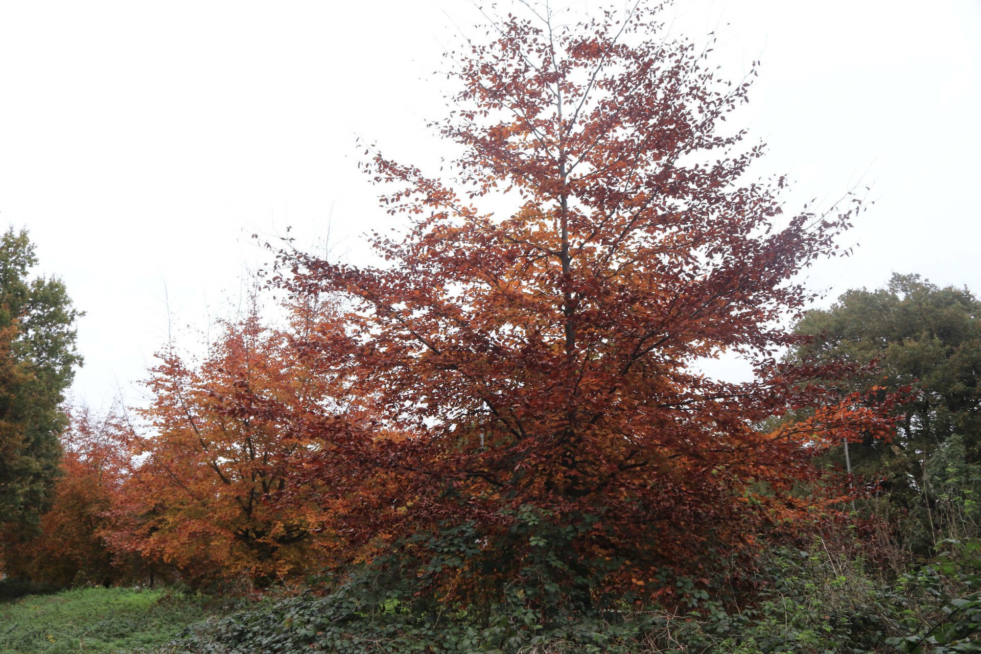
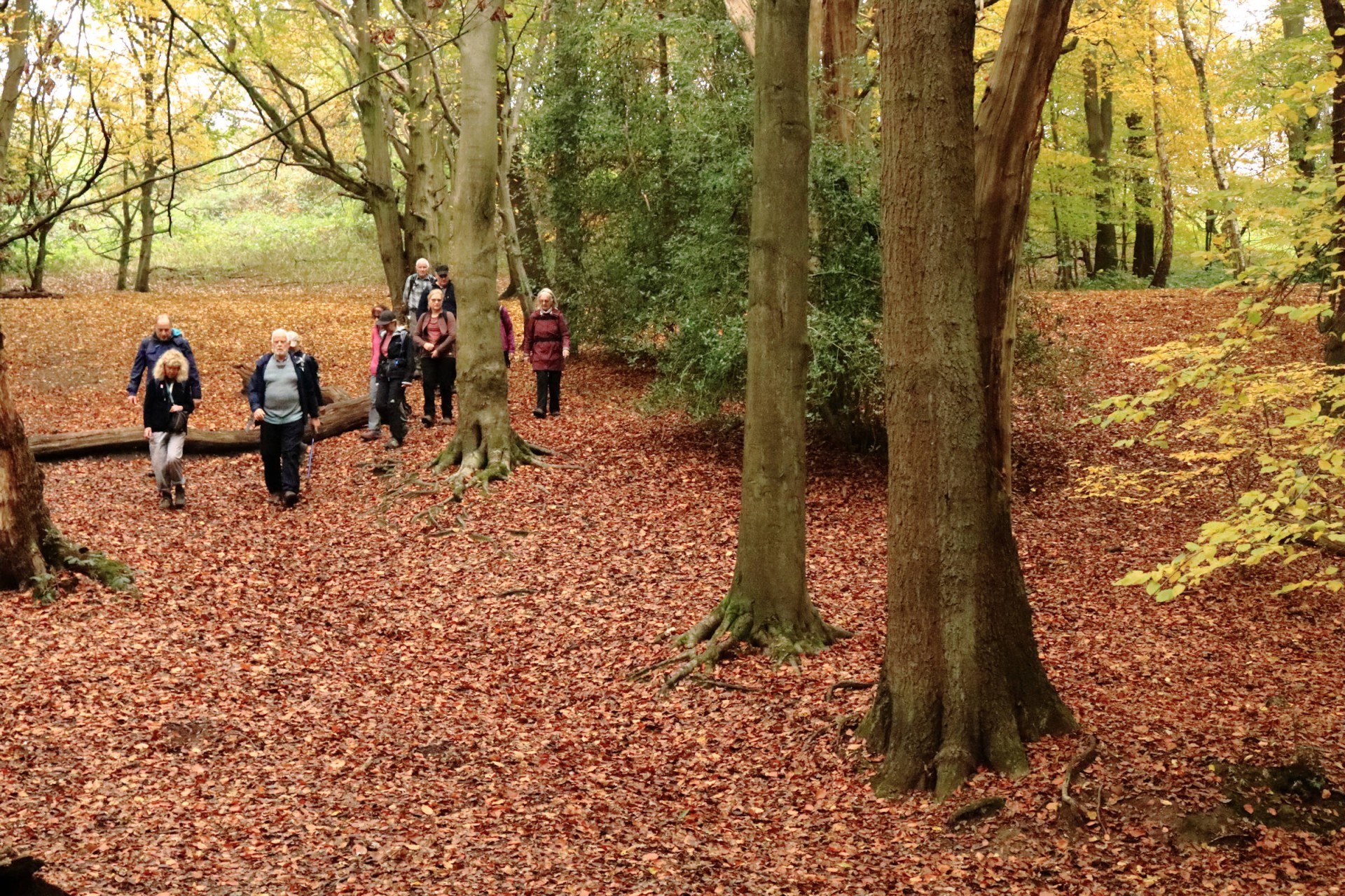
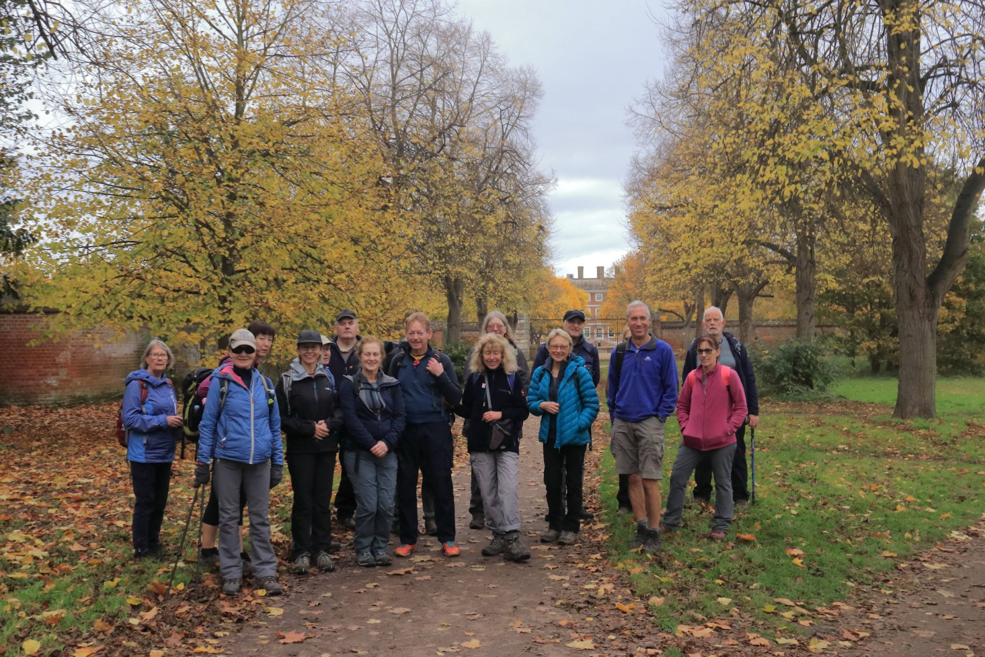
From Wombles to Wolsey, Saturday 13th November 202119 walkers, 18.4 miles - leader Gavin Fuller
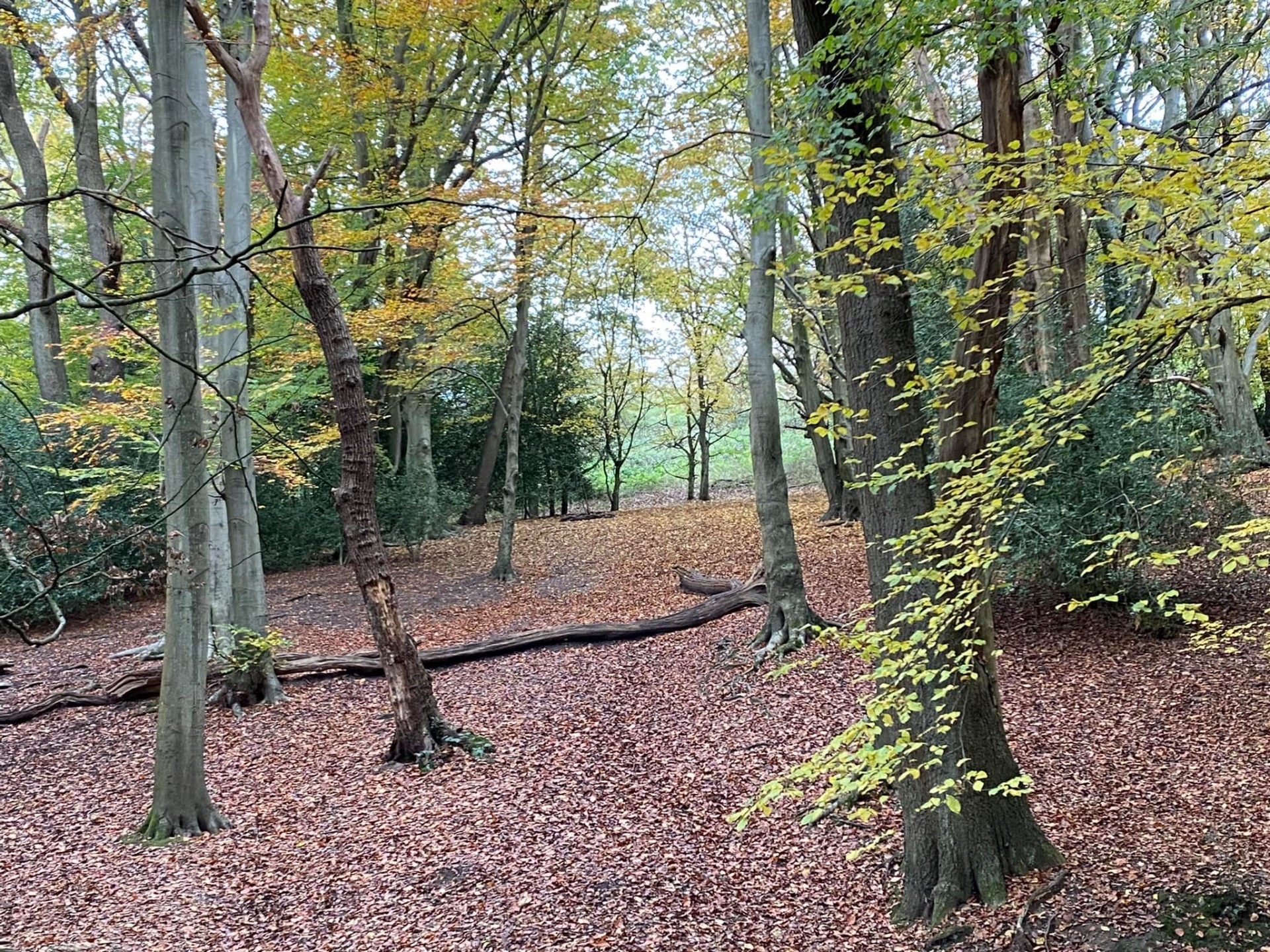
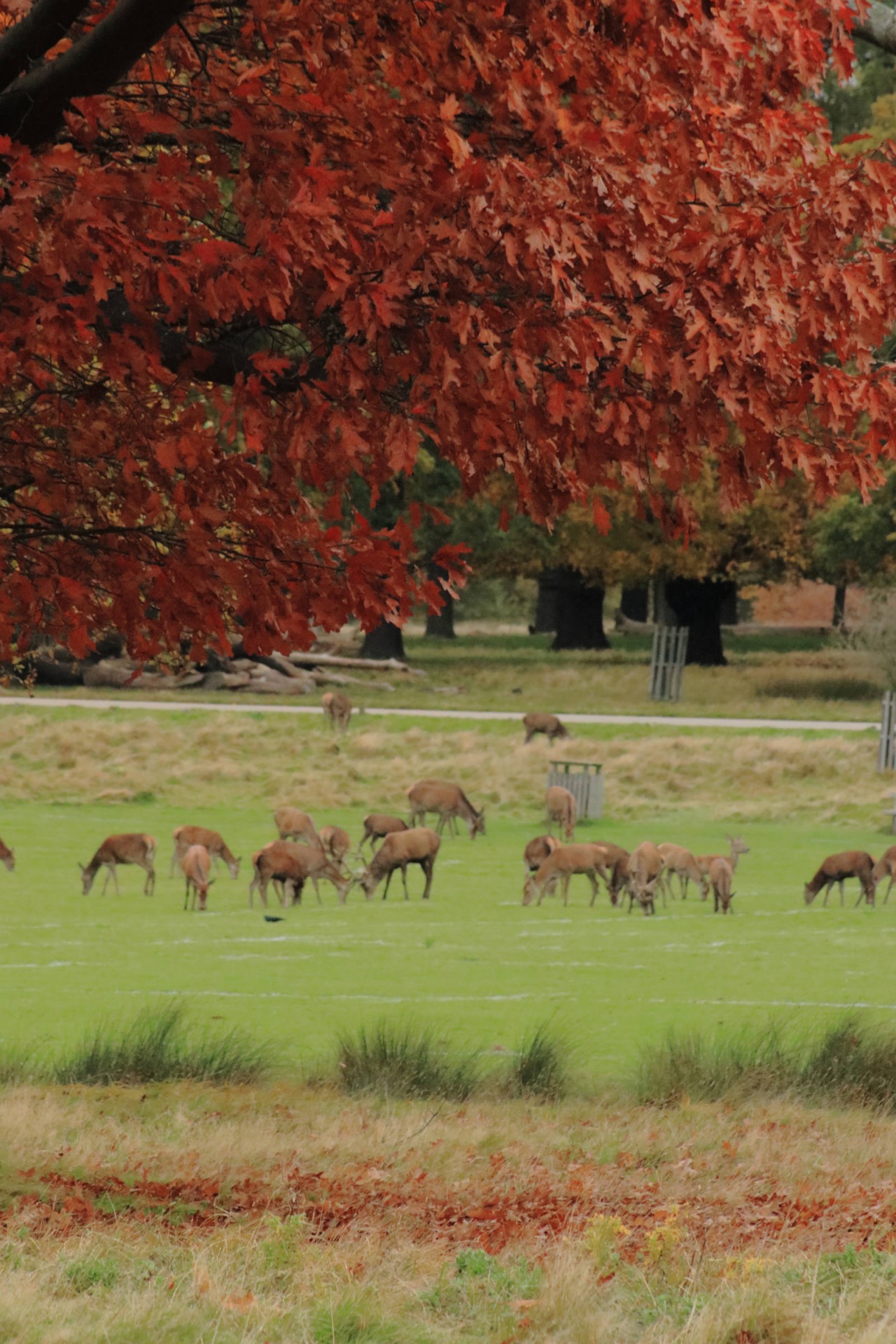
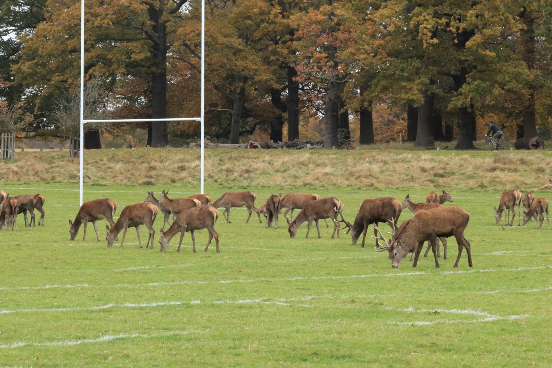
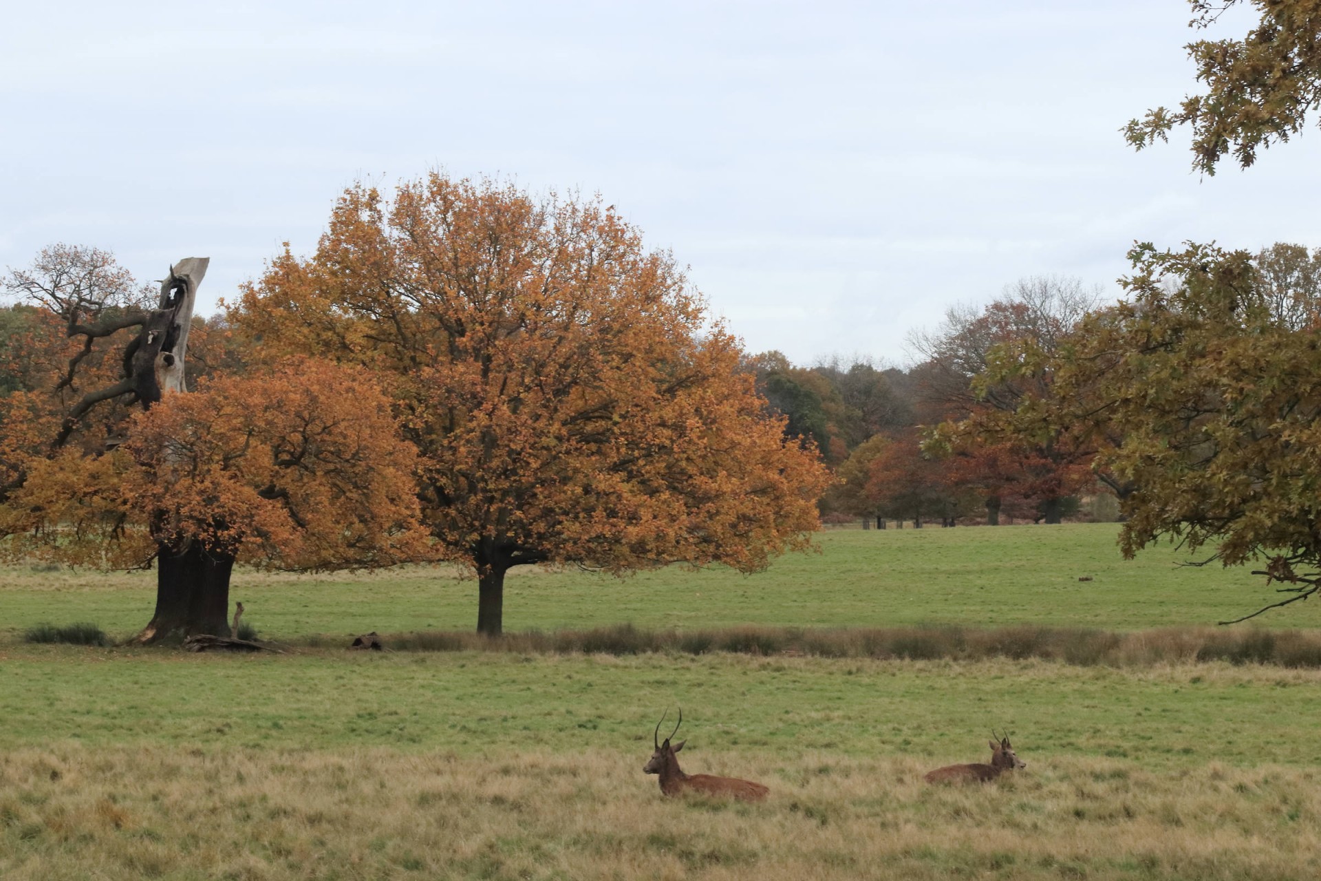
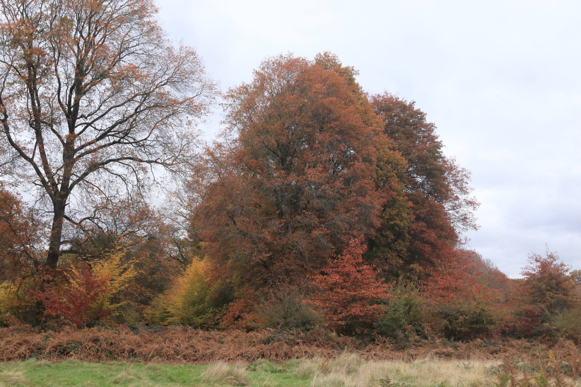
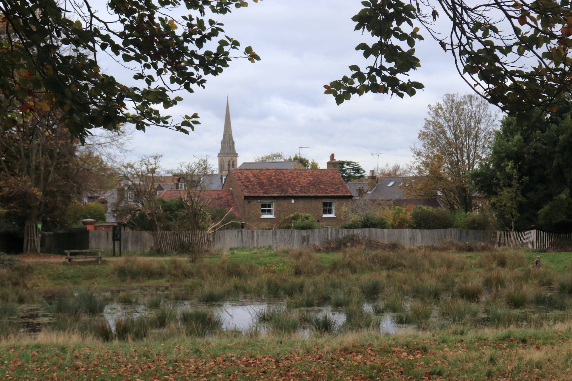
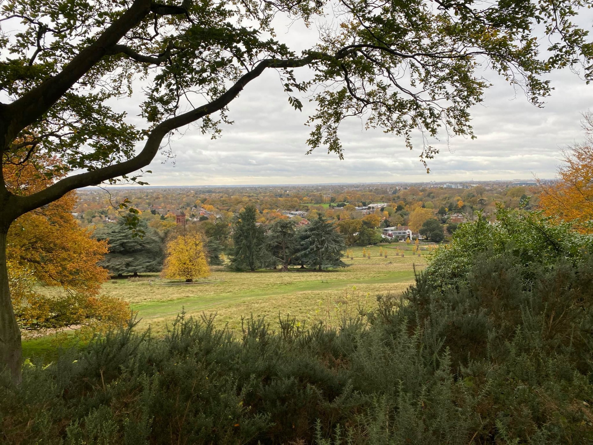
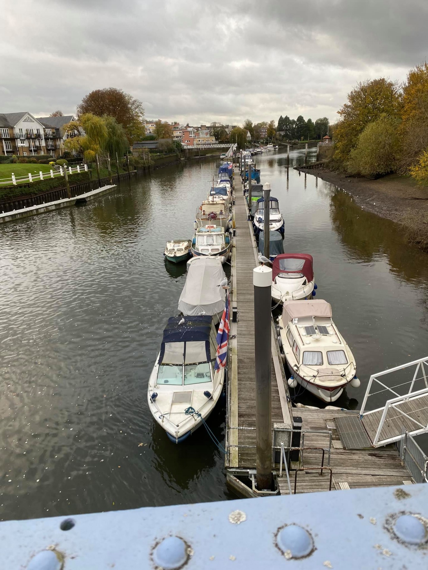
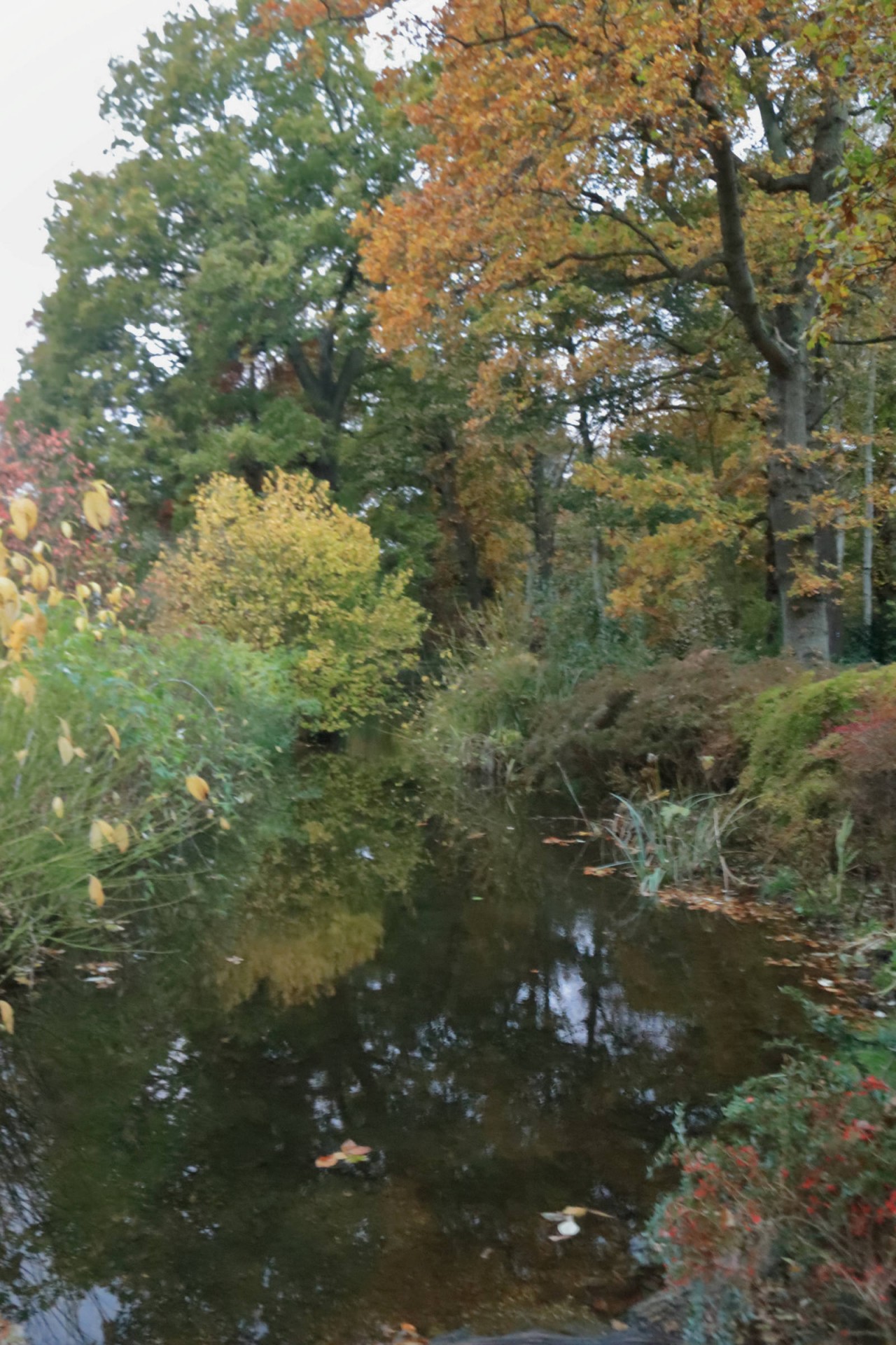
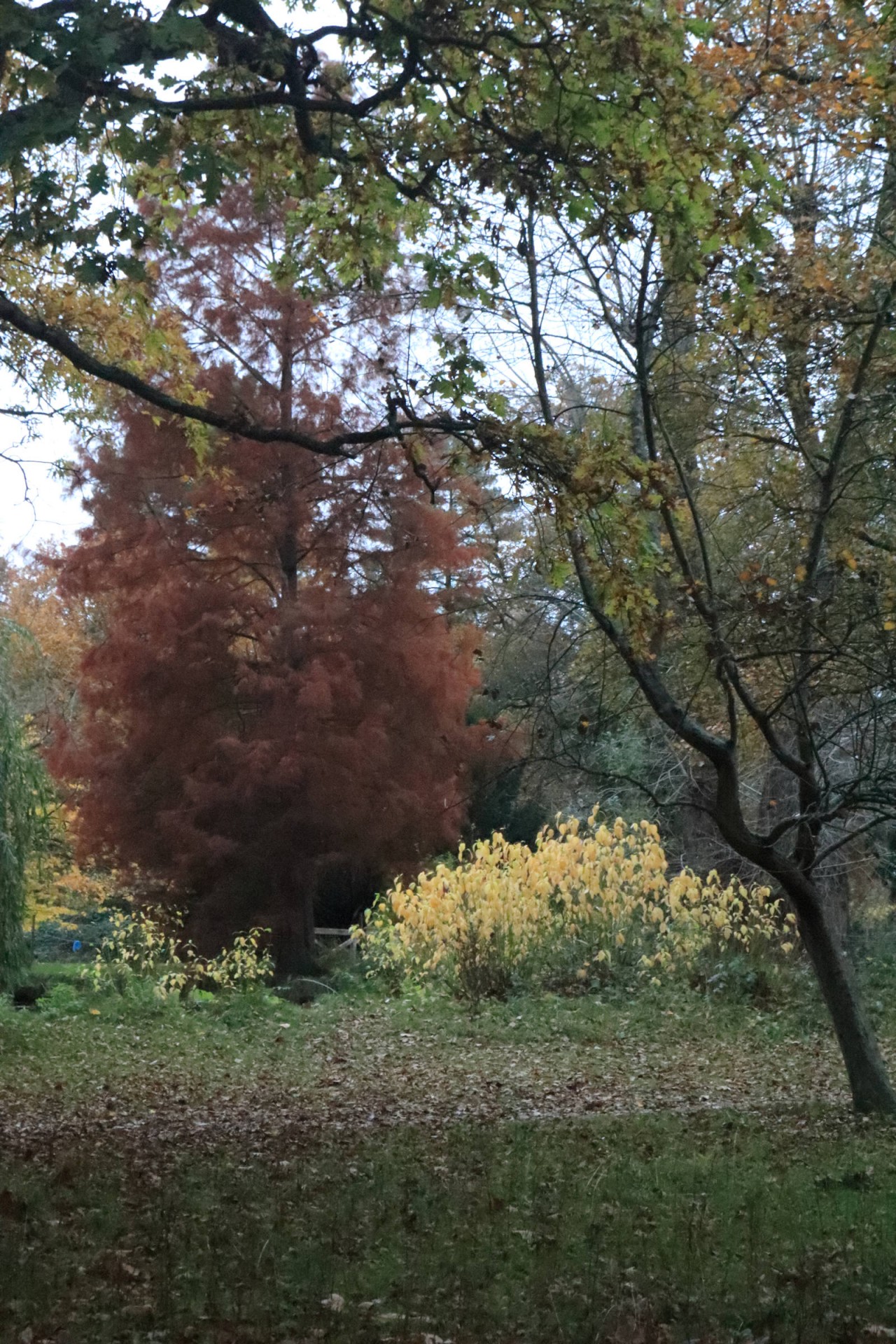
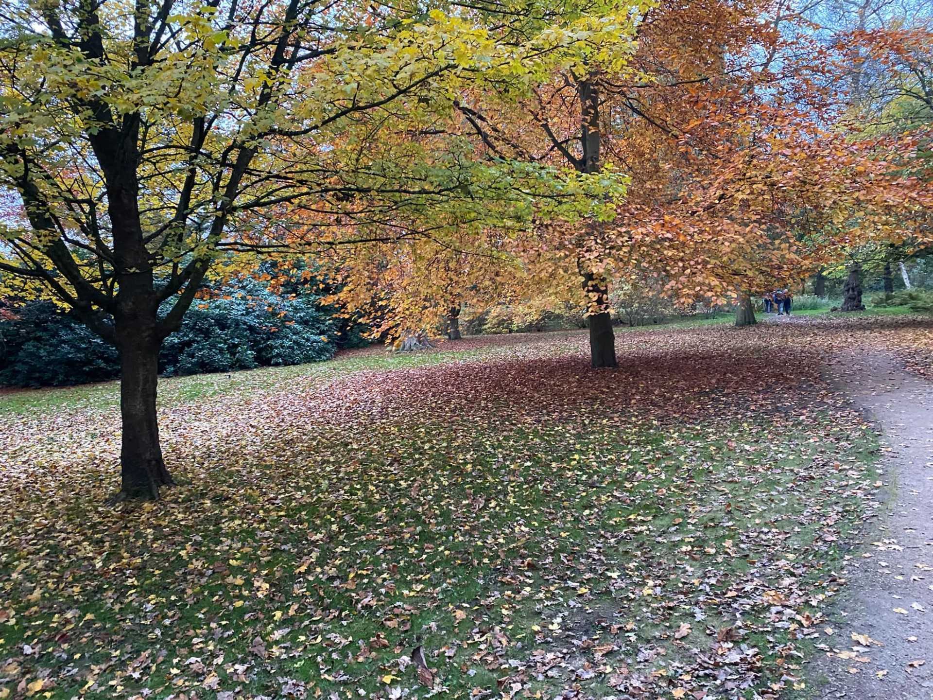
This walk from Wimbledon to Hampton Court was blessed by the autumnal colours which were still out on the meandering route, which took in Wimbledon Common, Putney Heath, Richmond Park, Ham Common, Ham Lands Nature Reserve and Bushy Park to the finish at Hampton Court, which made for an attractive backdrop. To give a modicum of added interest it also took in three of London's Borough Tops in the morning section, namely those of Merton, Wandsworth and Richmond, although excitement was somewhat contained by the group on at least some of these upon reaching them!
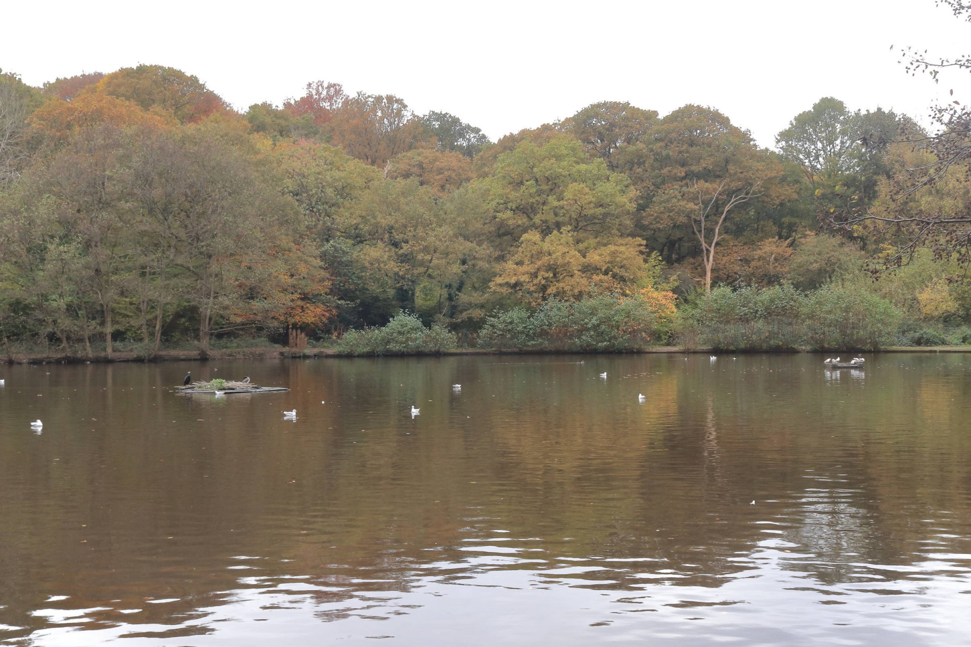
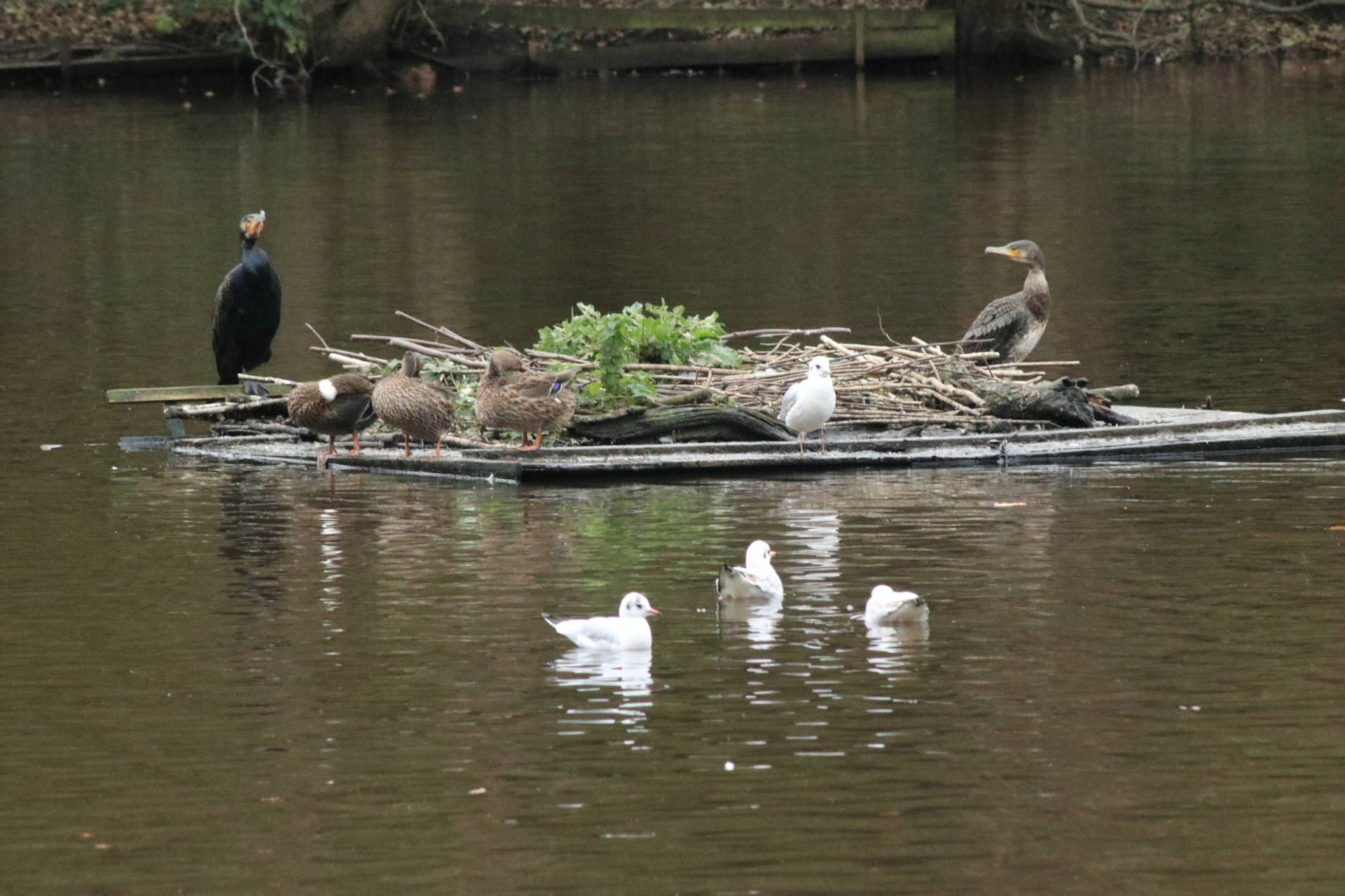
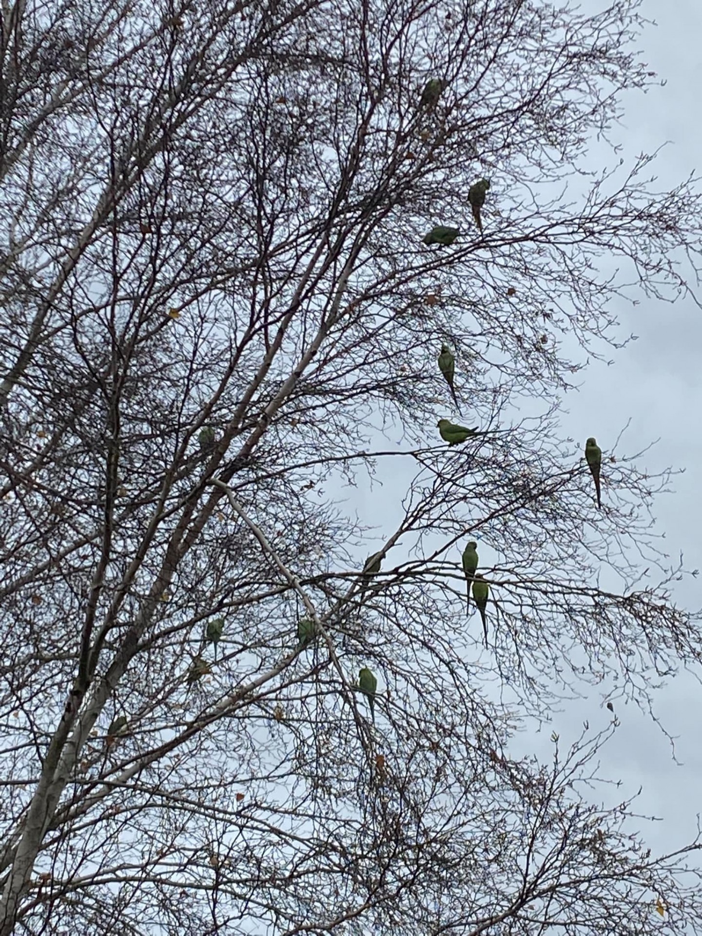
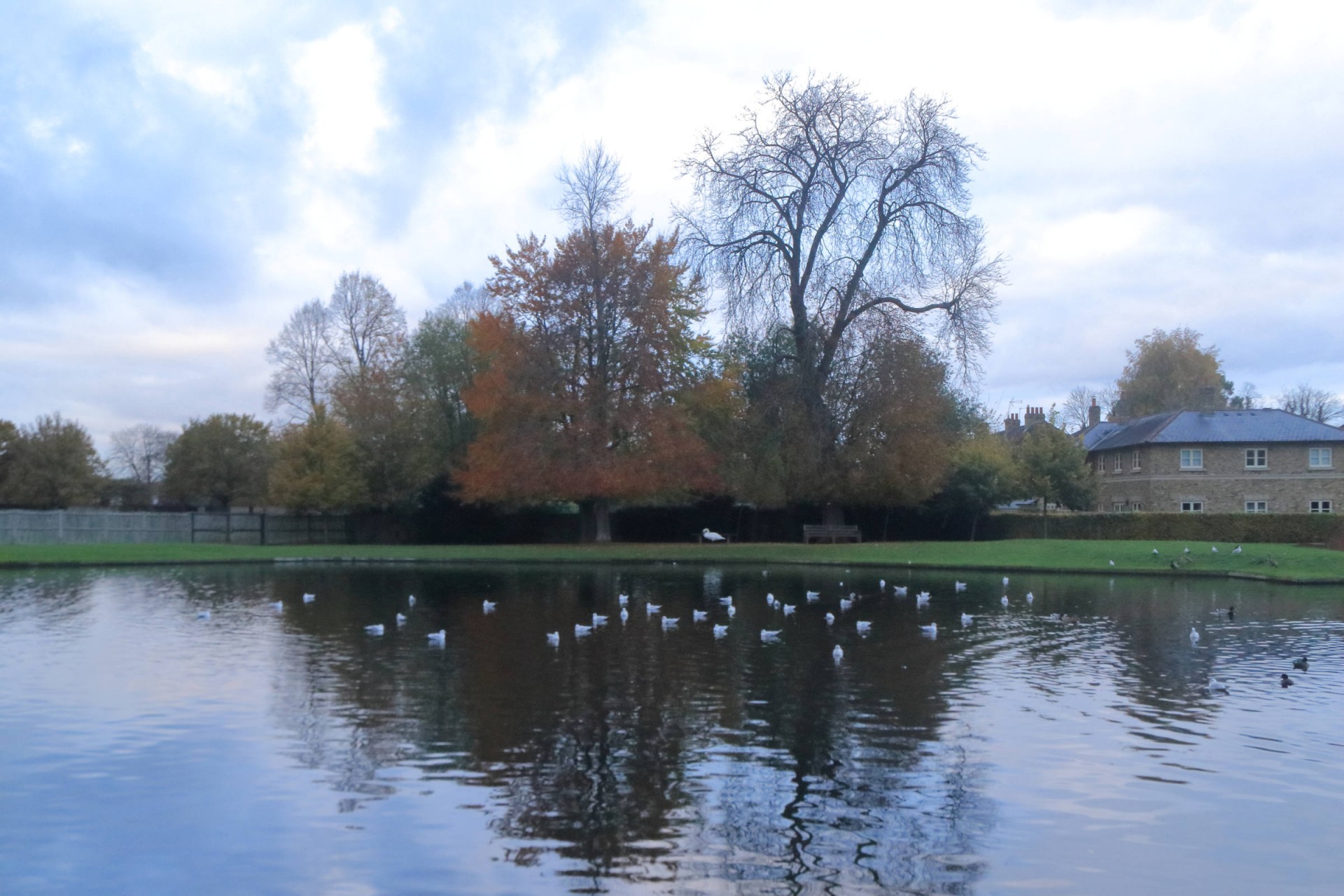
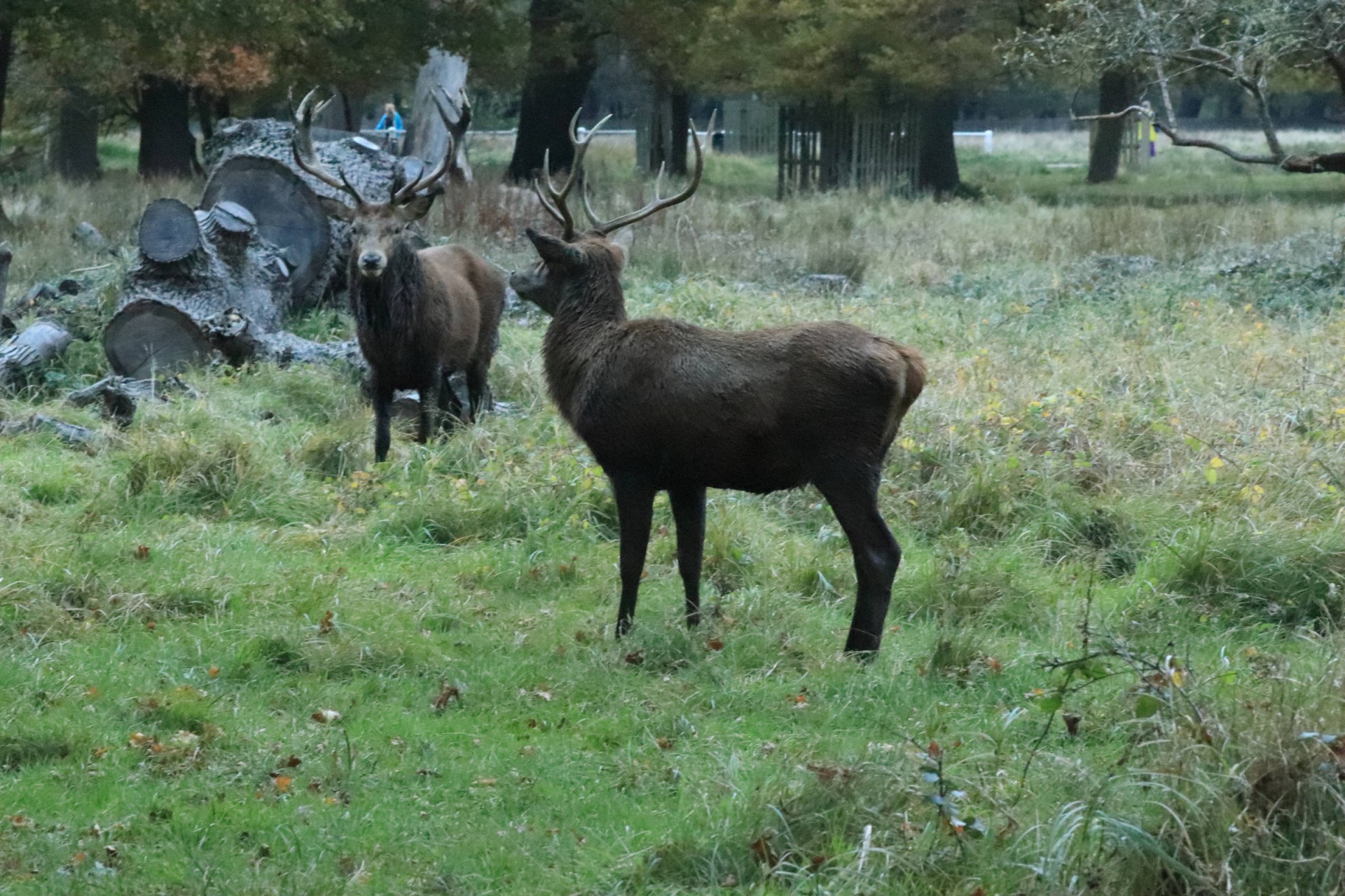
For those interested in fauna there was plenty of birdlife on the Queen's Mere in Wimbledon Common, whilst both Richmond and Bushy Parks enabled the group to encounter a goodly number of deer, although the bellowing of the rut in the latter persuaded it to give them something of a wide berth.
For the second time this year only half of those who started the walk other than the leader completed the full walk - one decided the bus at Ham Common was too tempting to ignore, another decided they couldn't miss the tea rooms at Ham House, and at Teddington Lock seven decided that the Thames Path to Kingston was preferable to the fleshpots of Teddington and no doubt got home earlier - despite a dash at Hampton Court only one person actually caught the 16.24 train meaning the rest had to wait for the one half an hour later, giving the coffee shop on the station an unexpected final rush before it closed for the day!
Photographs by Gavin Fuller
Other Files
Download Walk ReportGPX
A GPX file of the above route may be downloaded by clicking the link below.
Note: GPX files of Group Walks are created by LDWA Group members, and may be downloaded only by other LDWA members. They should not be made available outside the LDWA, and are used at members' own risk.
Login to Download (Members Only)You can use the interactive controls to zoom in and out and to move around the map, or click on a path or a marker for more info. (interactive map help)
You can use the interactive controls to zoom in and out and to move around the map, or click on a path or a marker for more info. (interactive map help)
© OpenStreetMap contributors under Open Database Licence
Rights of way data from selected Local Authorities
Large scale digital mapping is provided by John Thorn
At high zoom levels the route is indicative only.
Gallery
Maps:
You can use the interactive controls to zoom in and out and to move around the map, or click on a marker for more info. (interactive map help)
© OpenStreetMap contributors under Open Database Licence.
Rights of way data from selected Local Authorities.
Large scale digital mapping is provided by John Thorn.


