


Haslemere Hills
Sat 8th May 2021
Walk Details:
Circular route of 20 miles around the countryside to the south of Haslemere
Entry Details:
Walk Report
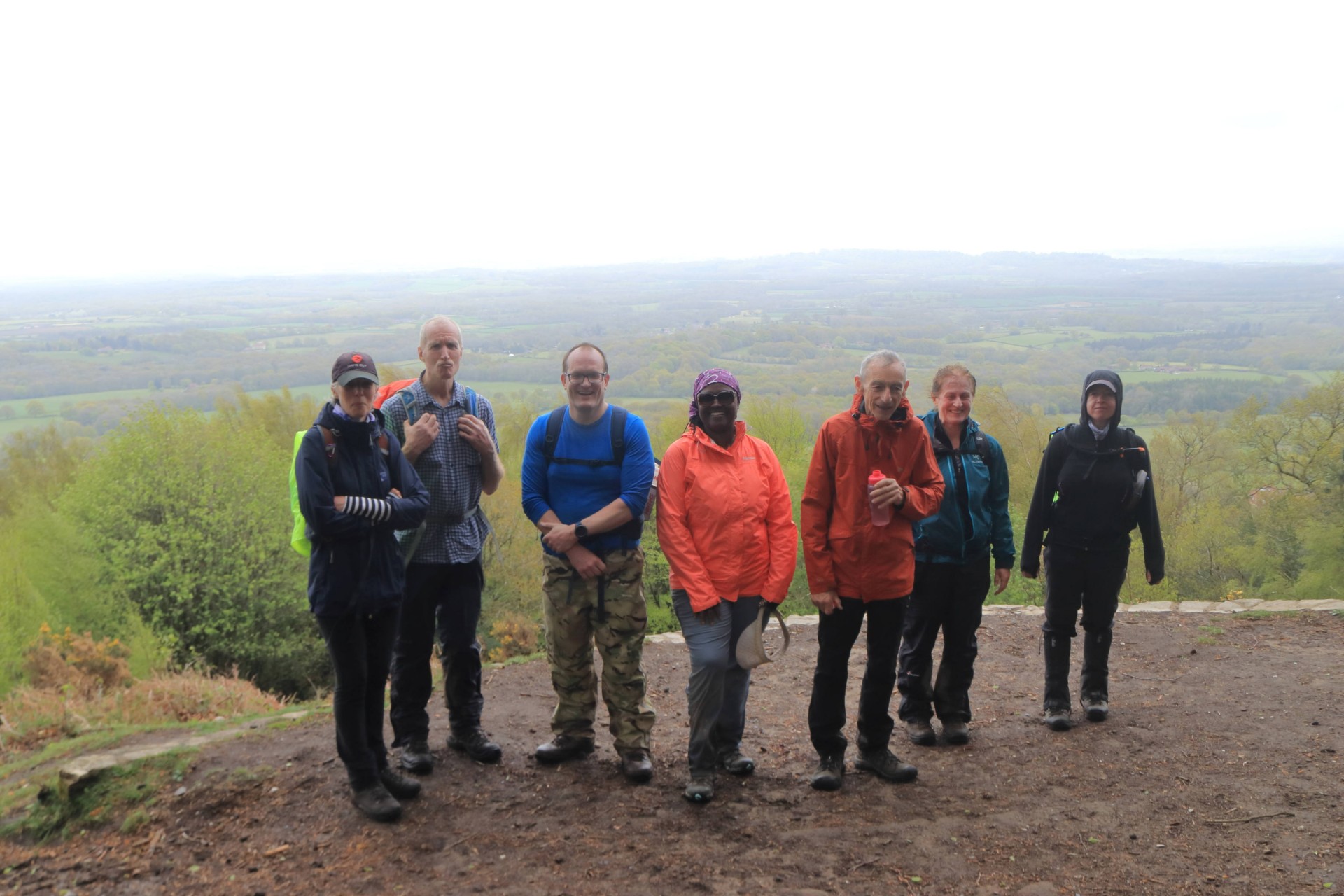
Haslemere Hills, Saturday 8th May 20219 walkers, 20.6 miles - leader Gavin Fuller
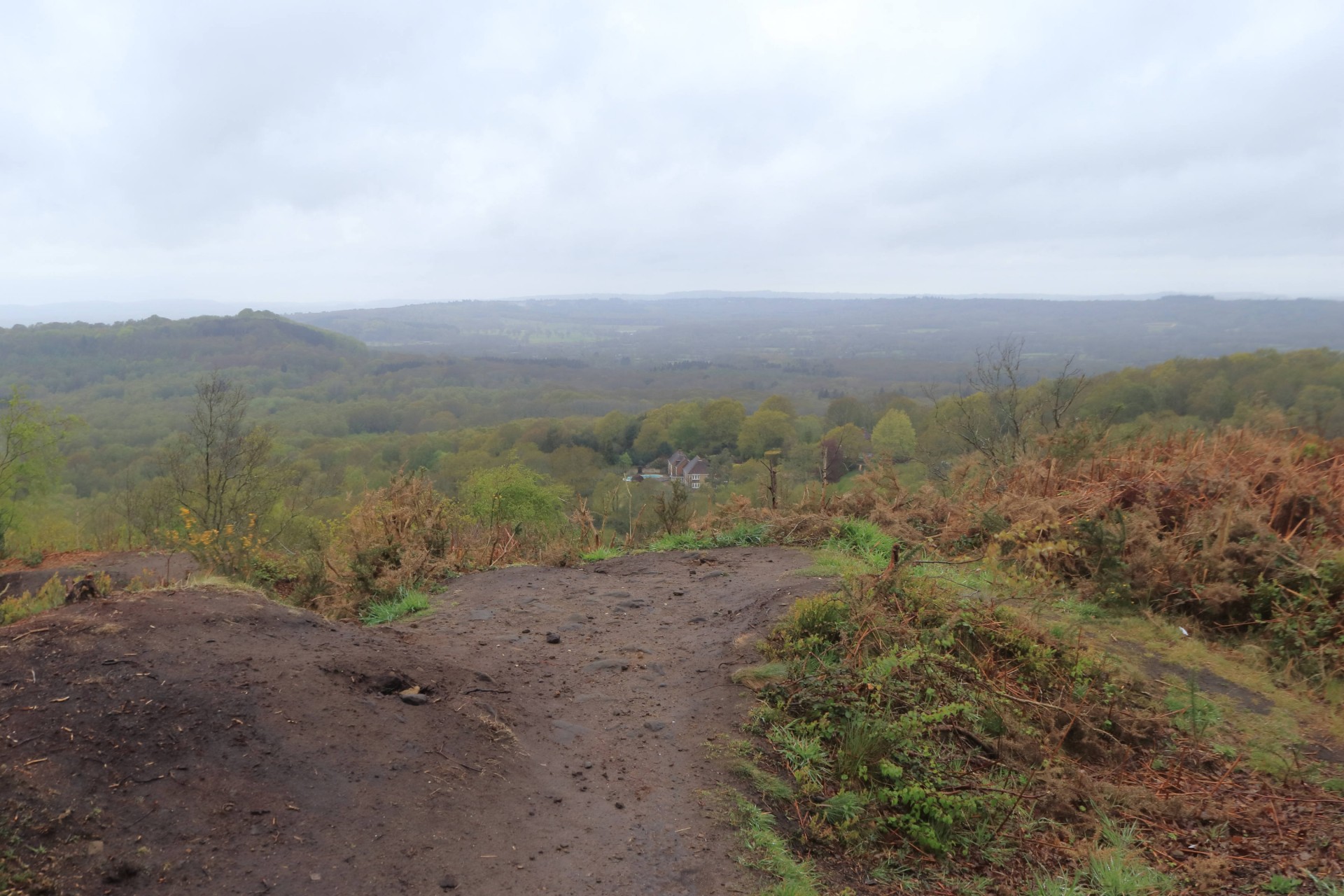
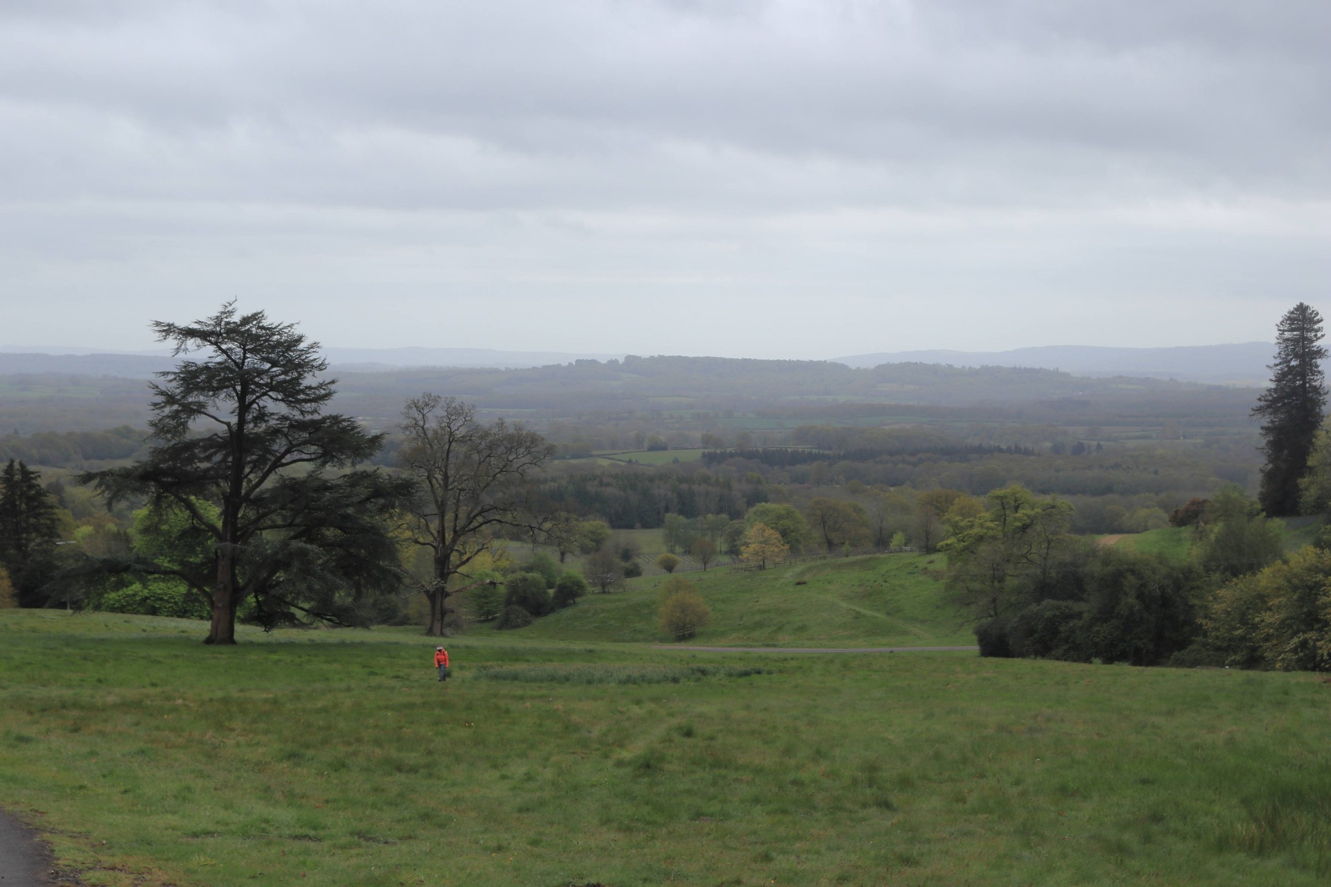
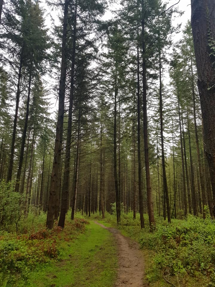
Nine of us gathered at a decidedly damp Haslemere for a tour around the hilly country to the south of the town. Fortunately the morning rain, aside from a downpour around 11, soon subsided and the forecast high winds fortunately didn't have much of an impact either aside from making the first break on Woolbeding Common chillier than you might have hoped for in May.
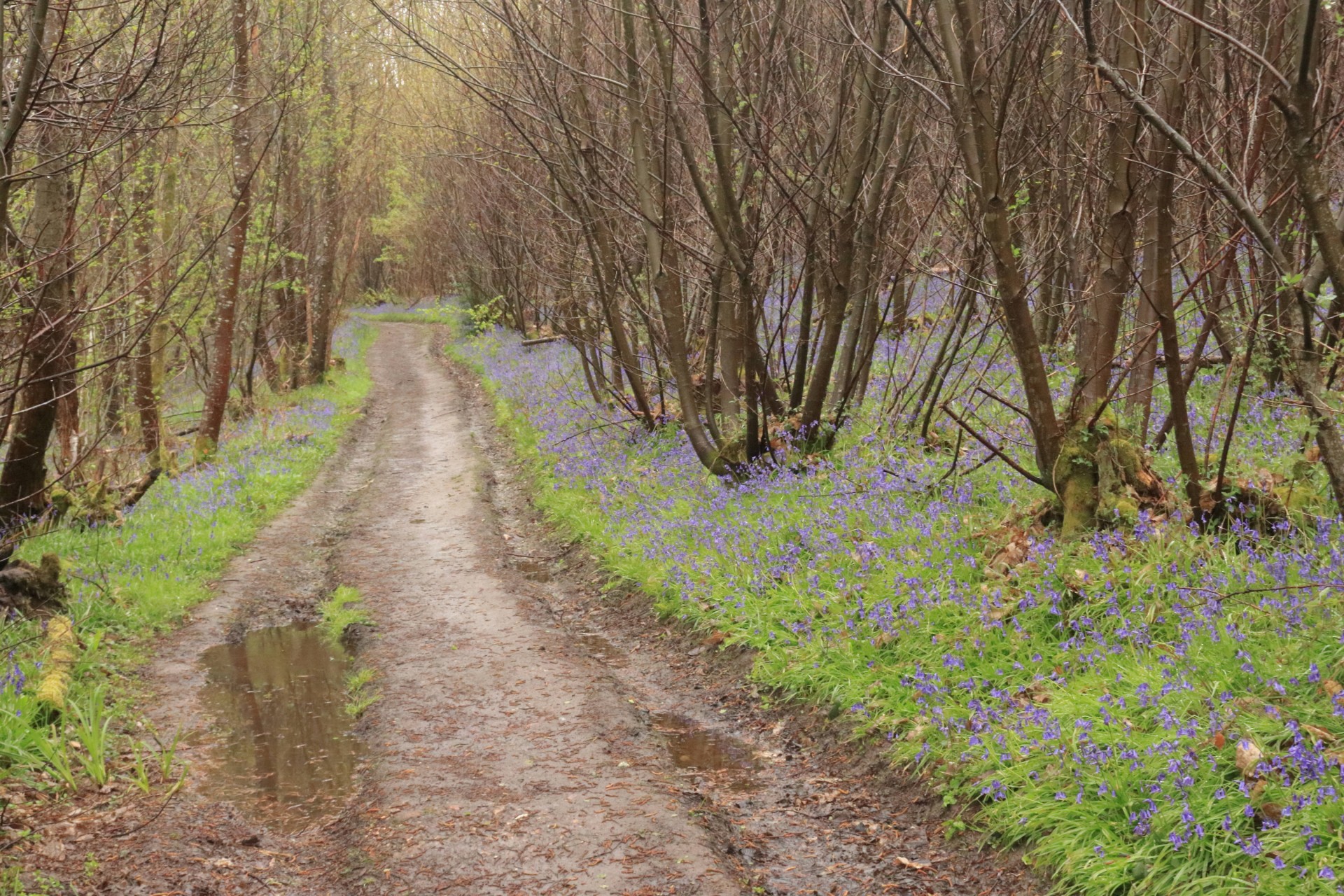
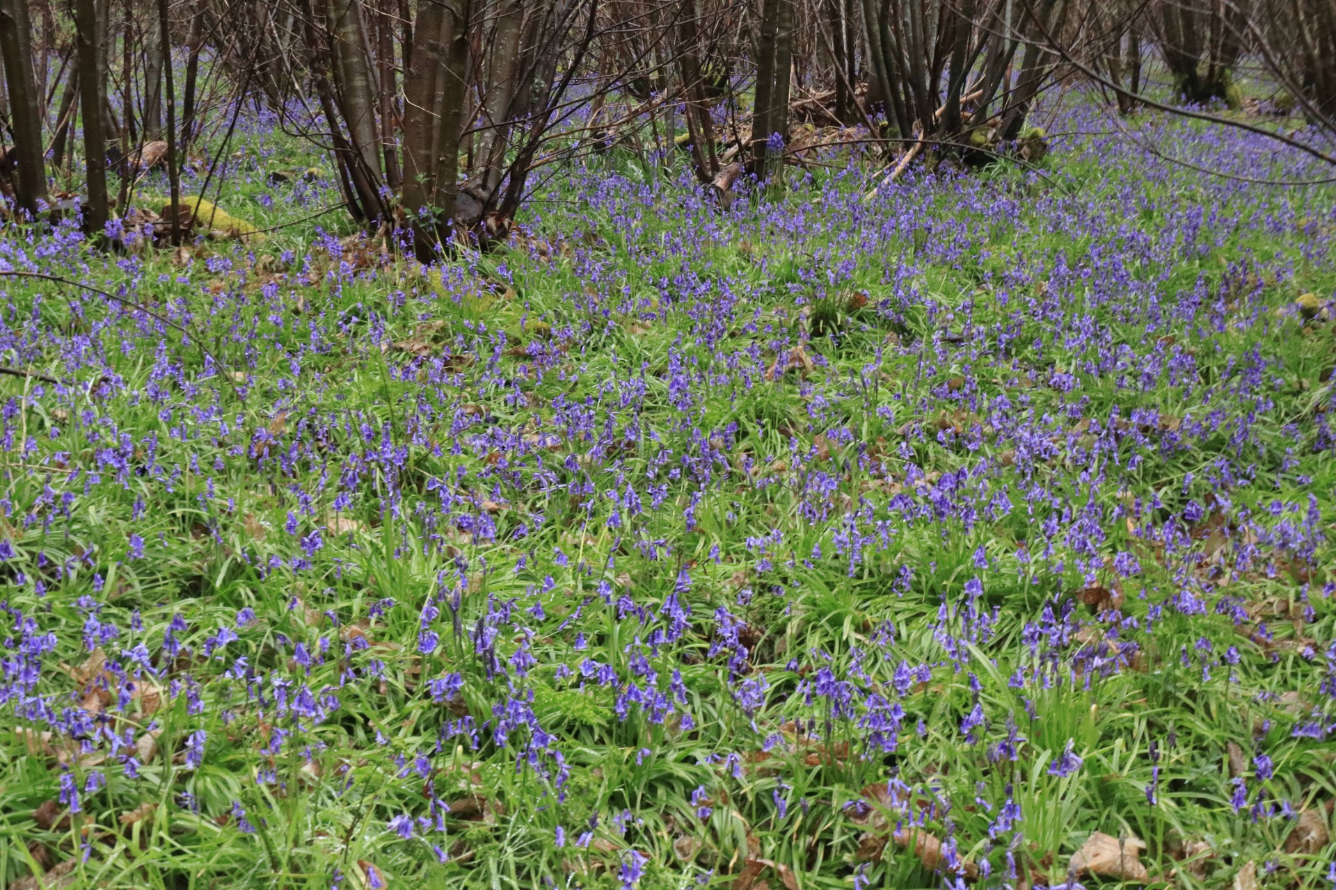
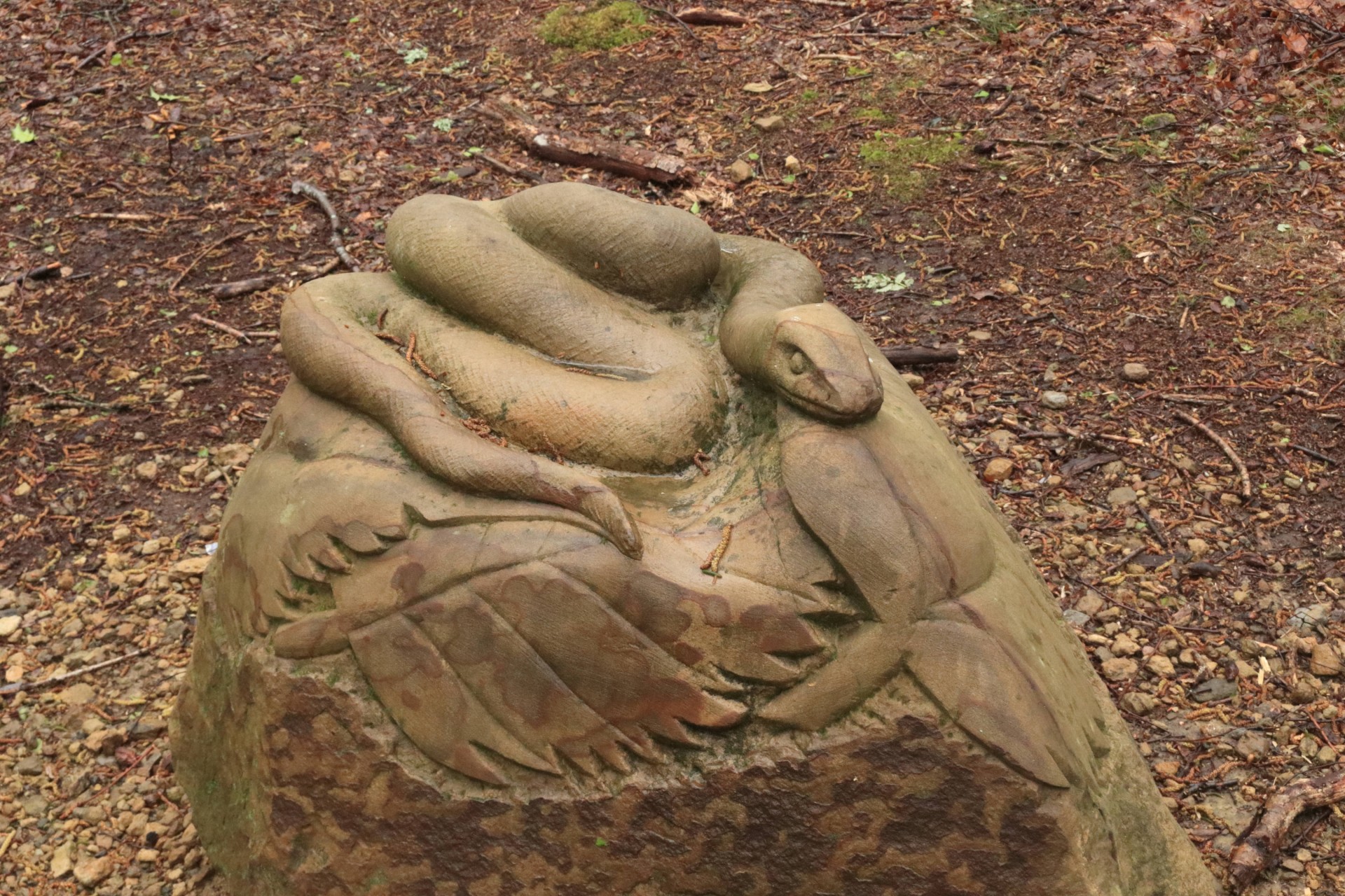
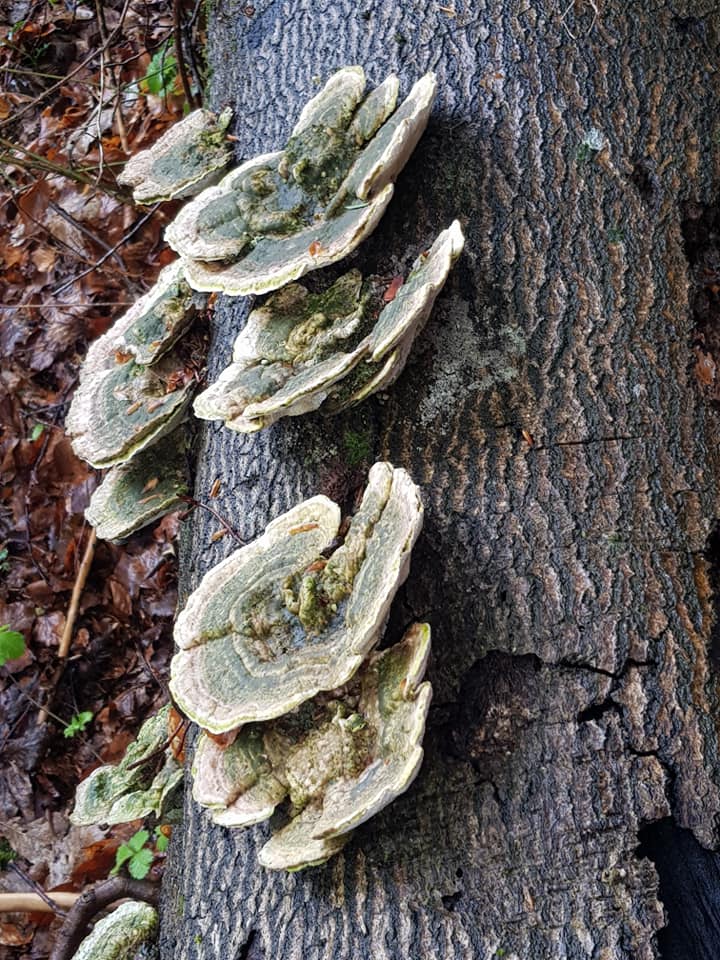
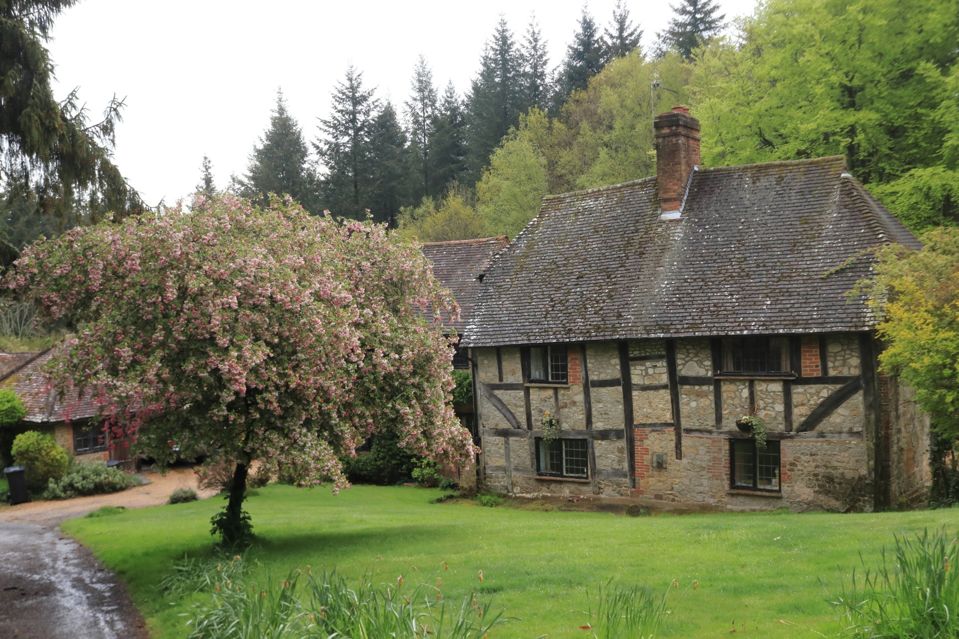
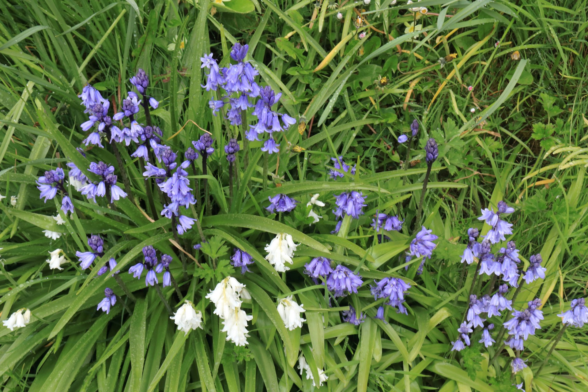
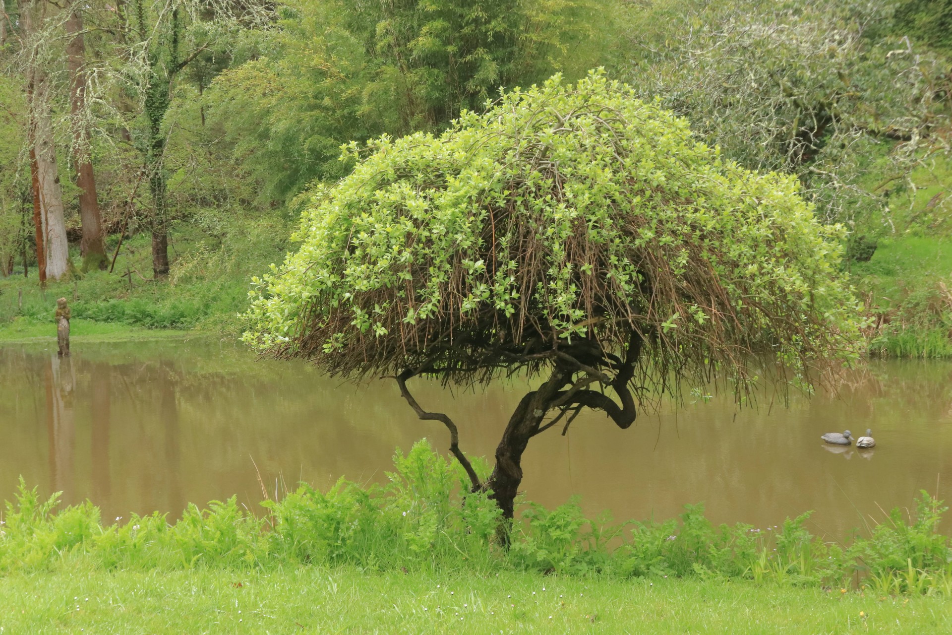
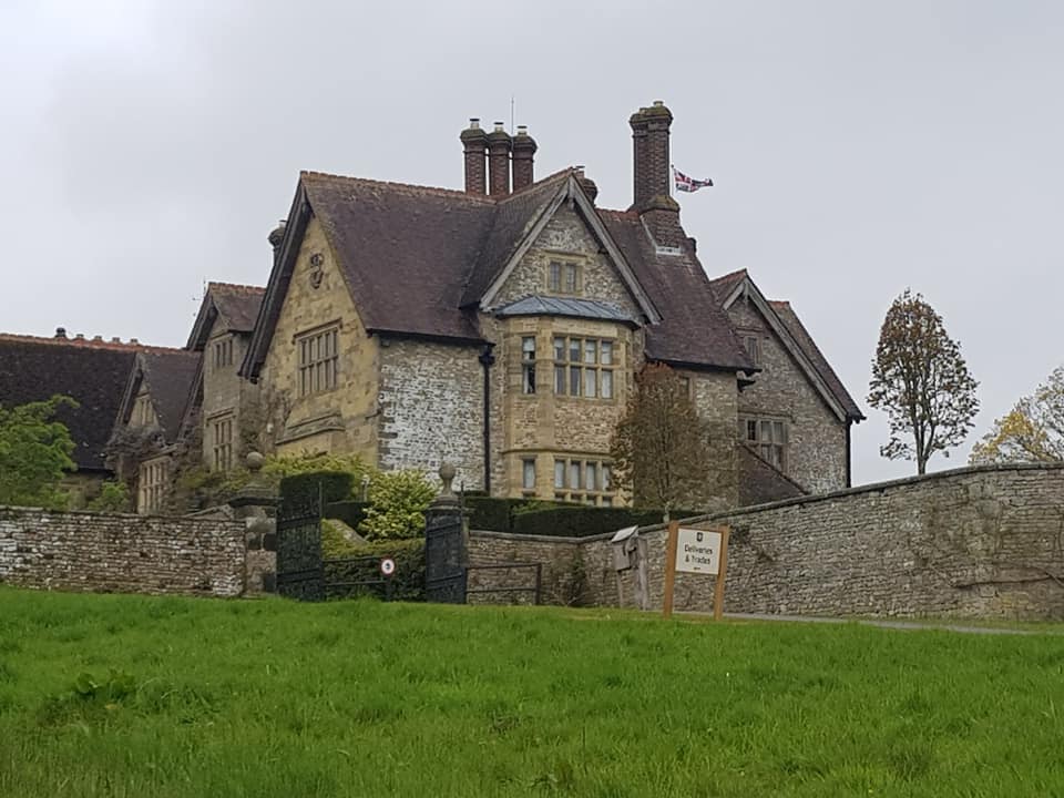
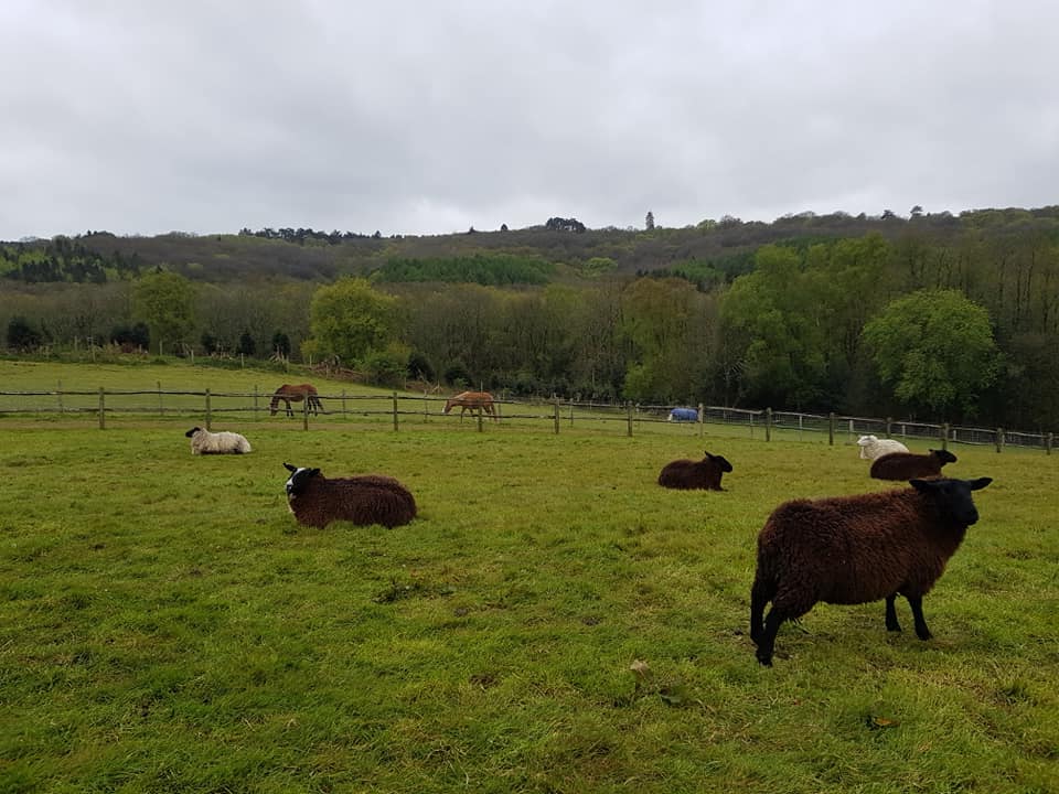
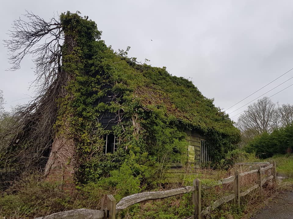
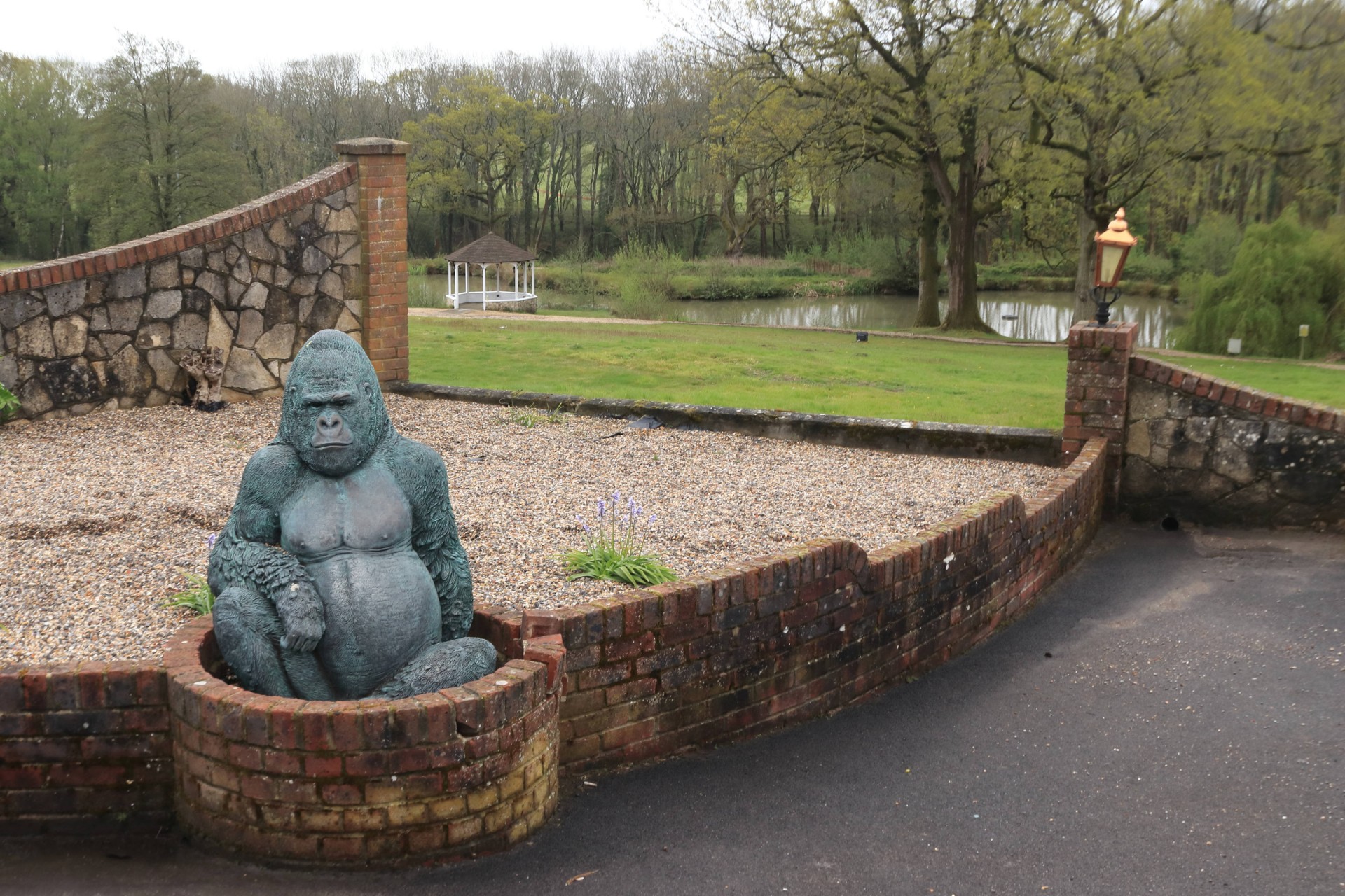
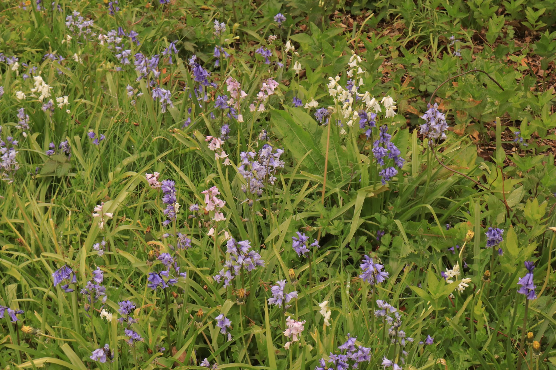
The leader has done this walk the previous summer and put it on at this time of year as he was curious to see what it looked like in bluebell season, and fans of the flower weren't to be disappointed as there were plenty on show across a good proportion of the walk, including white and violet variants at times. With a vineyard, a variety of sculptures and some interesting old buildings to offset the less alluring charms of the likes of a sizeable electricity substation en route there was plenty to see in amongst the 2,010 feet of ascent the party had to experience.
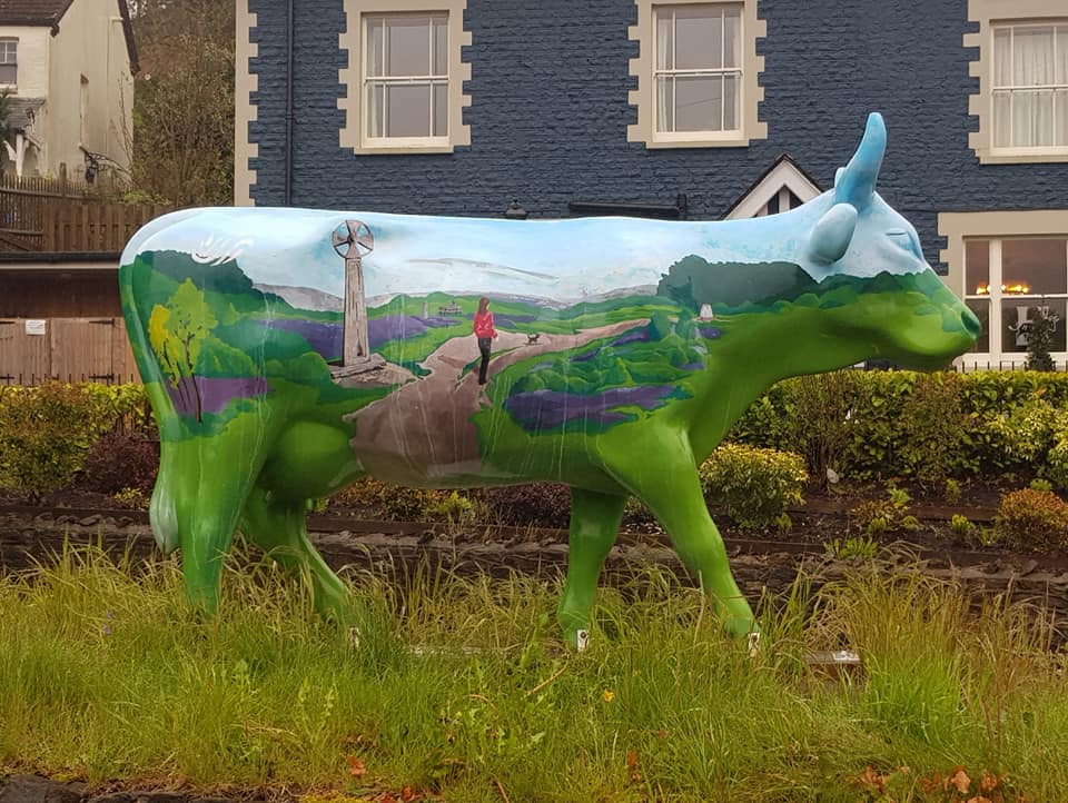
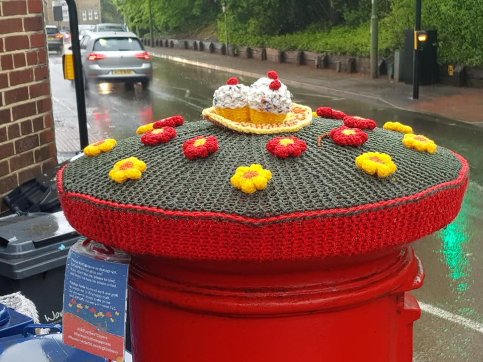
Photographs by Gavin Fuller and Bola Baruwa; more by Bola on the group Facebook site
Other Files
Download Walk ReportGPX
A GPX file of the above route may be downloaded by clicking the link below.
Note: GPX files of Group Walks are created by LDWA Group members, and may be downloaded only by other LDWA members. They should not be made available outside the LDWA, and are used at members' own risk.
Login to Download (Members Only)You can use the interactive controls to zoom in and out and to move around the map, or click on a path or a marker for more info. (interactive map help)
You can use the interactive controls to zoom in and out and to move around the map, or click on a path or a marker for more info. (interactive map help)
© OpenStreetMap contributors under Open Database Licence
Rights of way data from selected Local Authorities
Large scale digital mapping is provided by John Thorn
At high zoom levels the route is indicative only.
Gallery
Maps:
You can use the interactive controls to zoom in and out and to move around the map, or click on a marker for more info. (interactive map help)
© OpenStreetMap contributors under Open Database Licence.
Rights of way data from selected Local Authorities.
Large scale digital mapping is provided by John Thorn.


