


Unfinished Business Part 2
Tue 22nd Jun 2021
Walk Details:
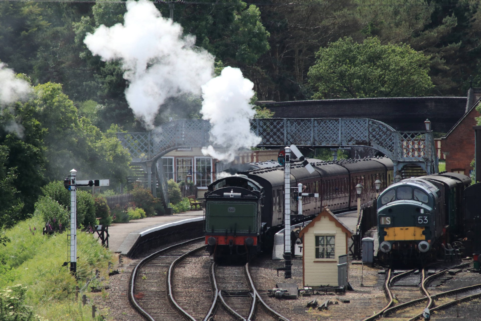
A train lovers bonanza! To and from Liverpool St station
Entry Details:
Walk Report
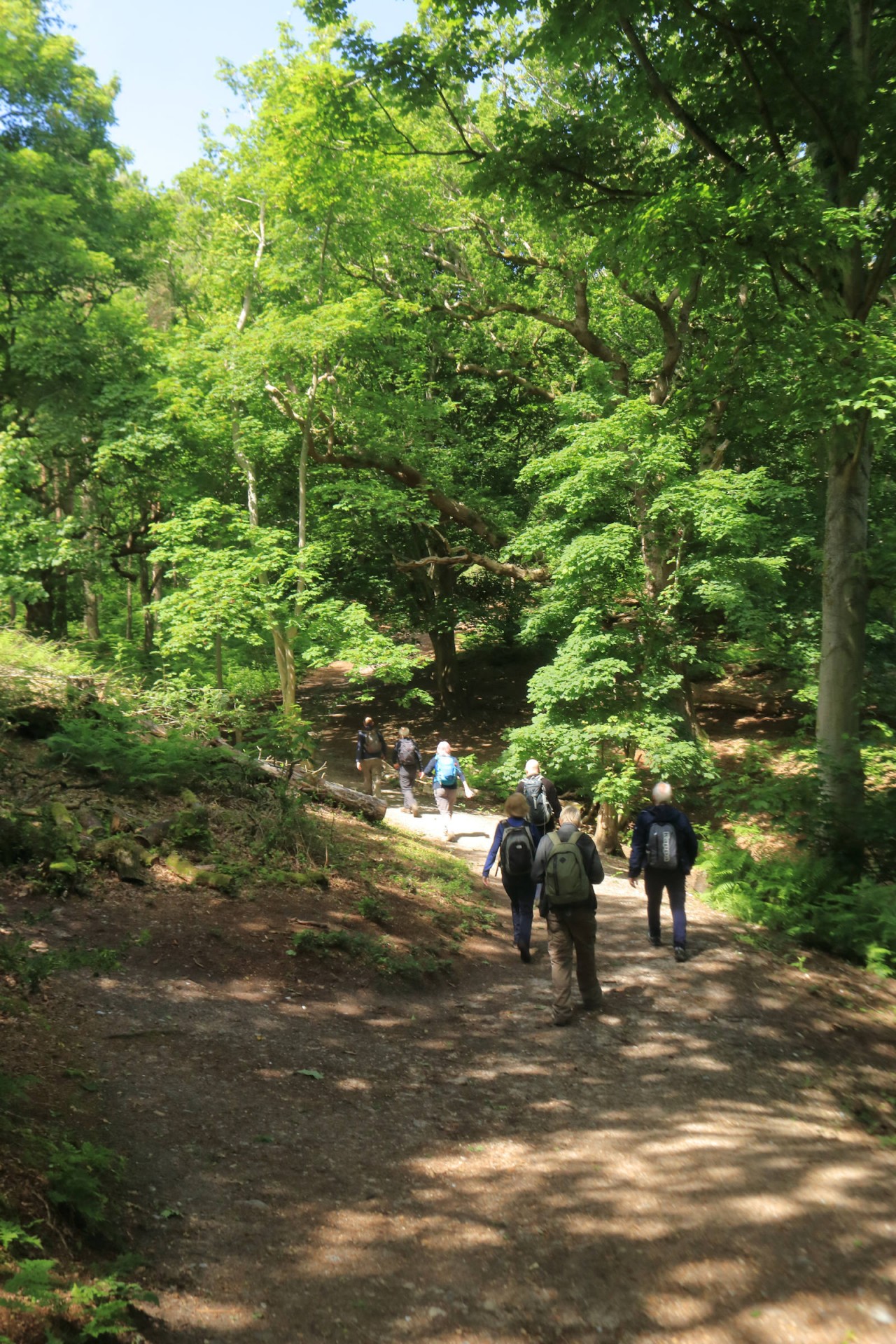
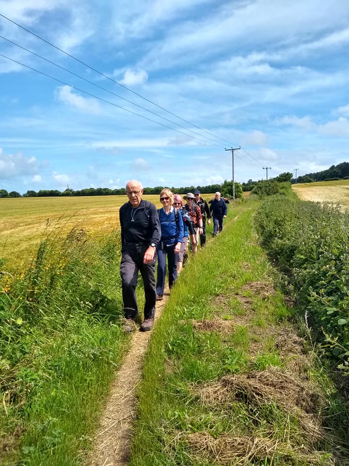
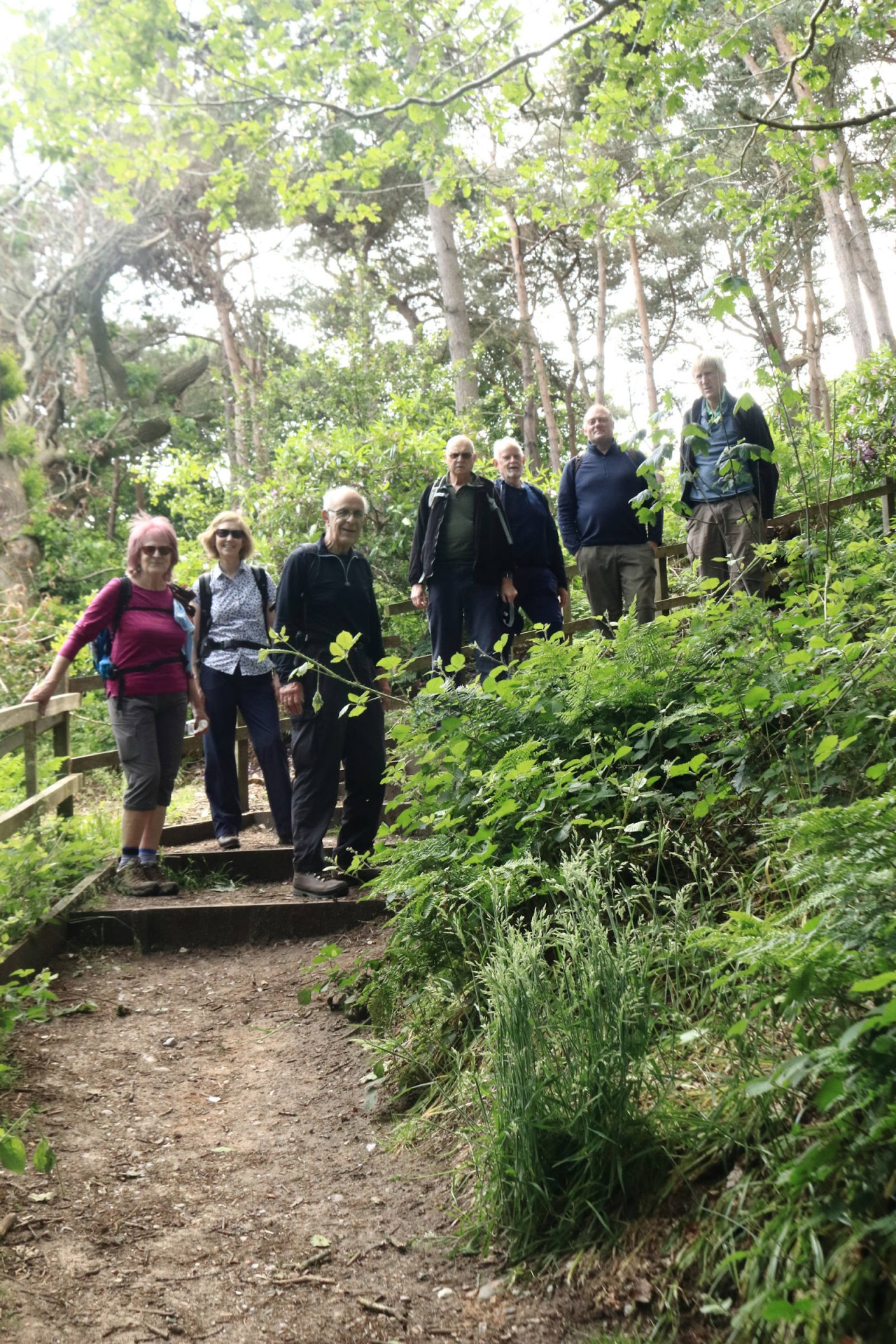
Unfinished Business Part 2, Tuesday 22nd June 20218 walkers, 15 miles - leader Ron Williamson
A midsummer's day trip to the North Norfolk coast to complete the previously aborted 2019 visit which was a complete washout.
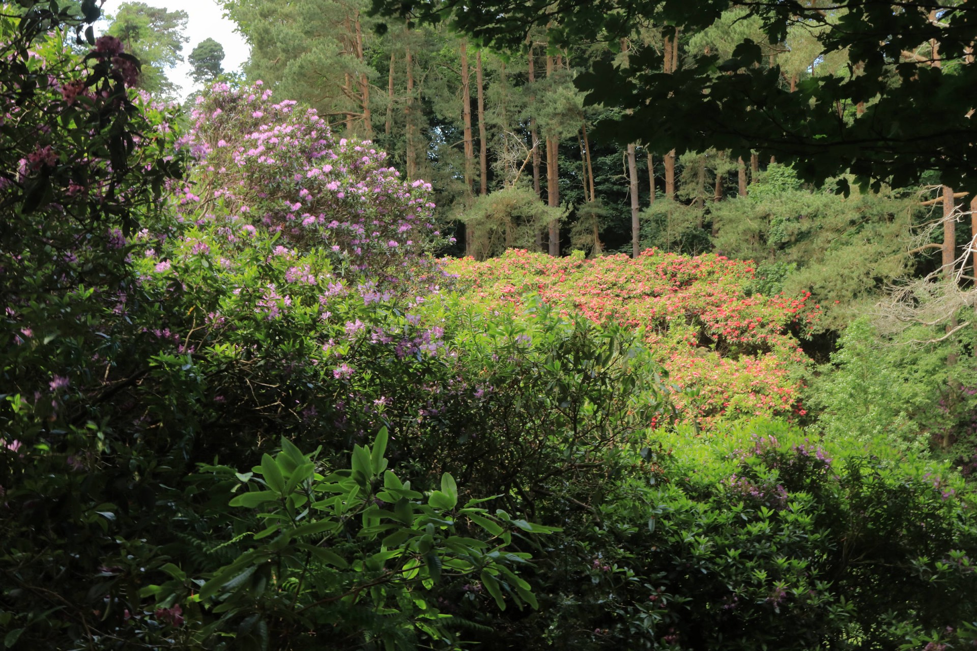
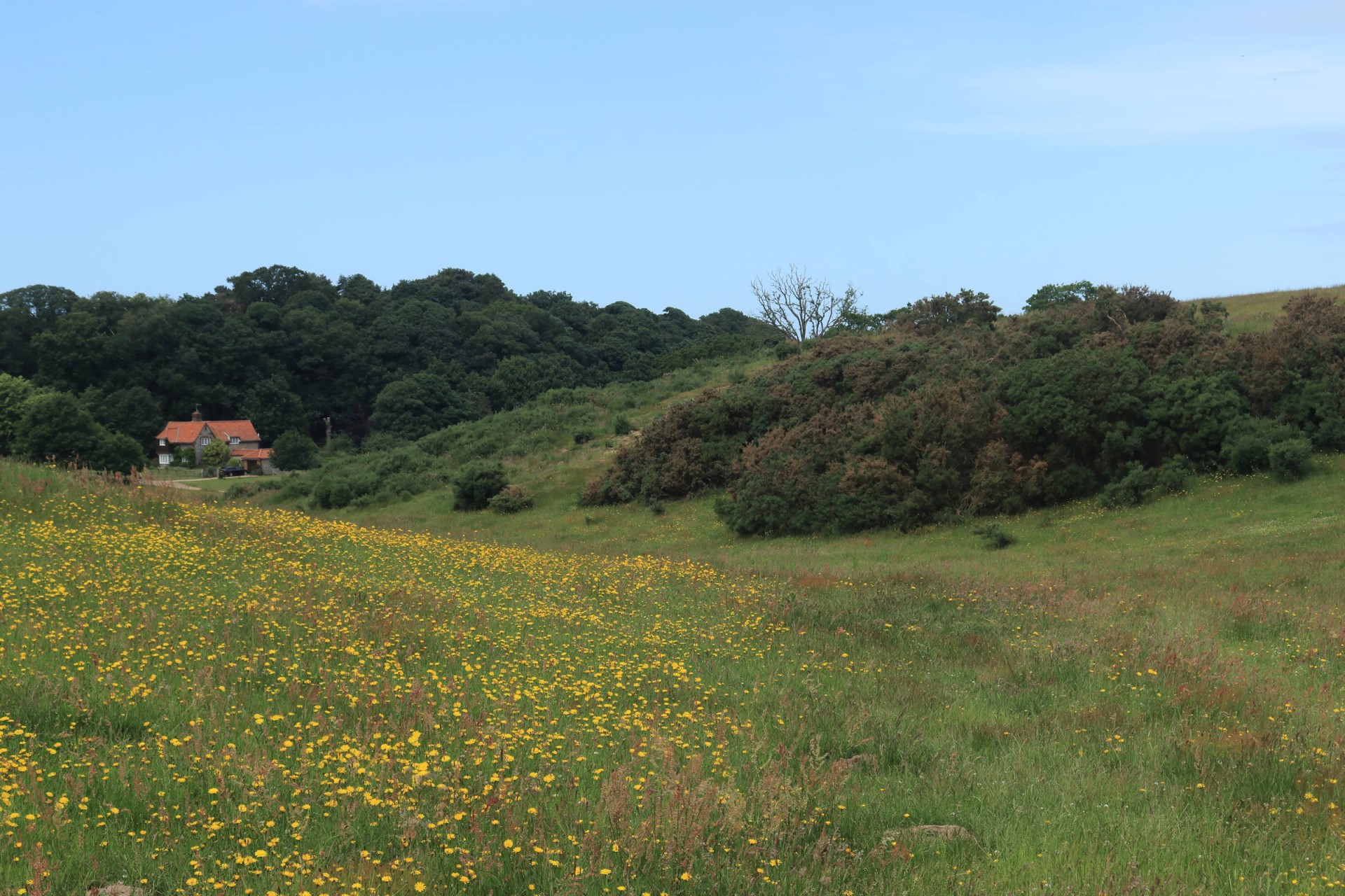
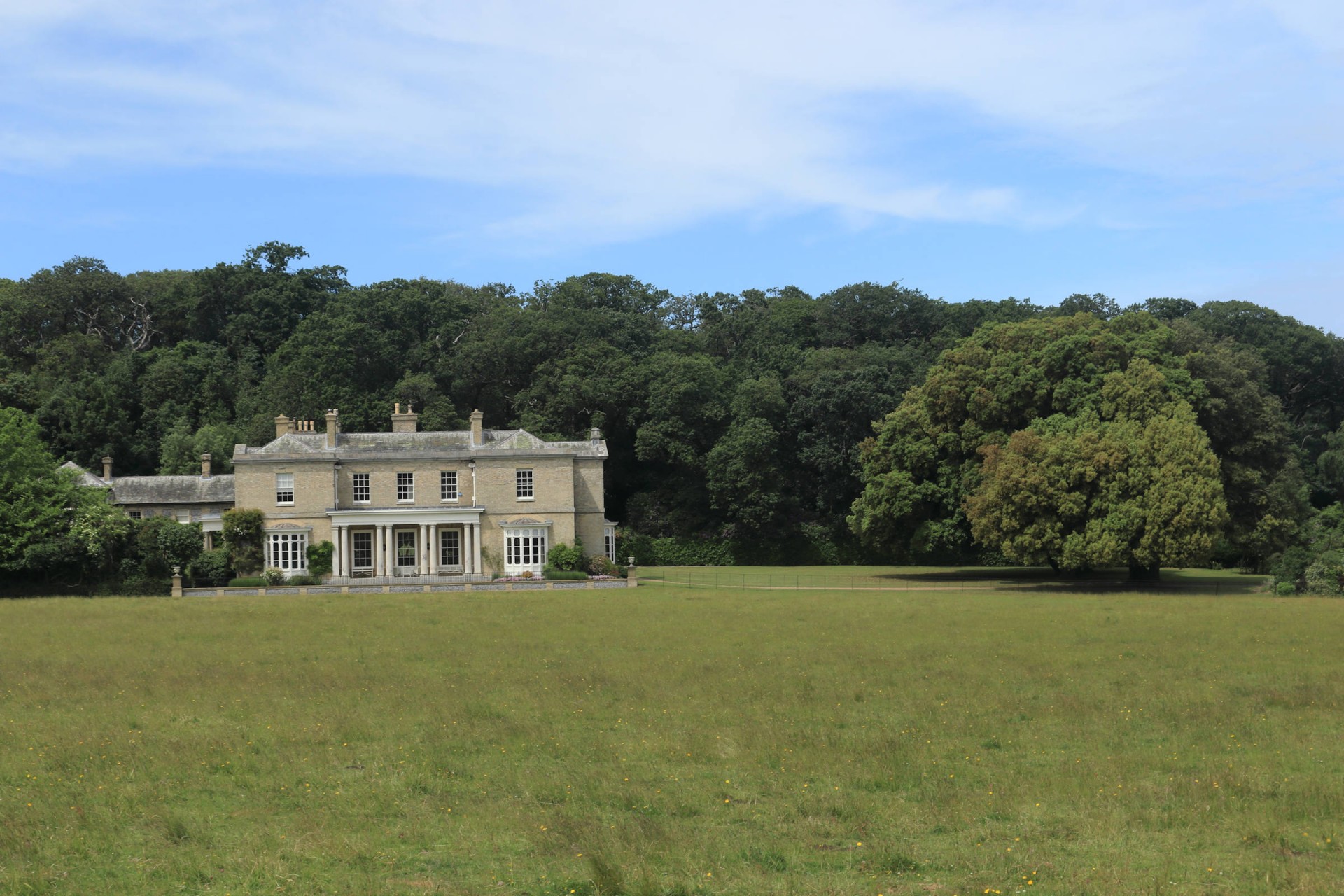
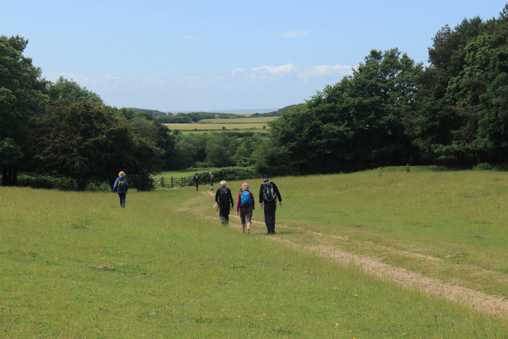
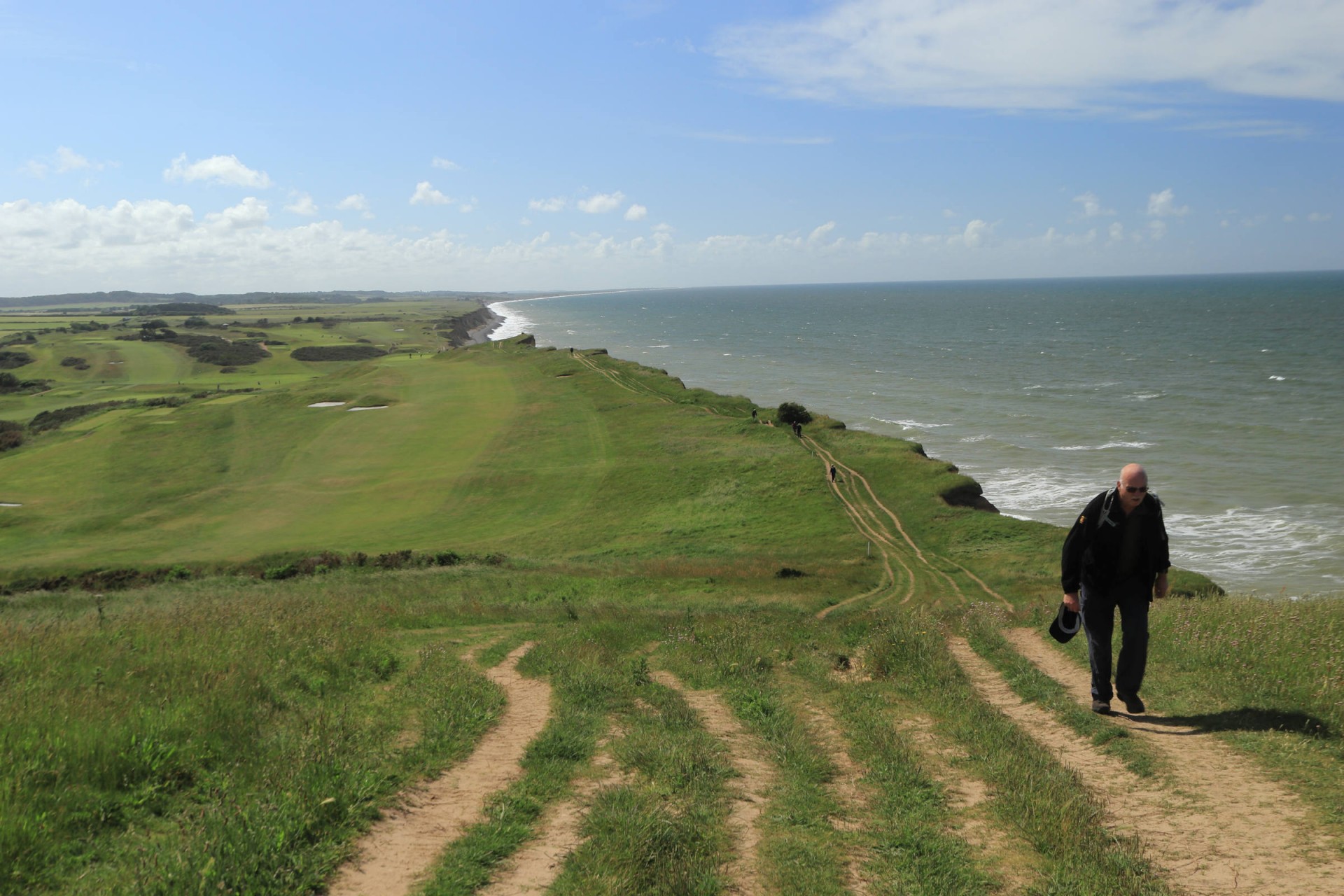
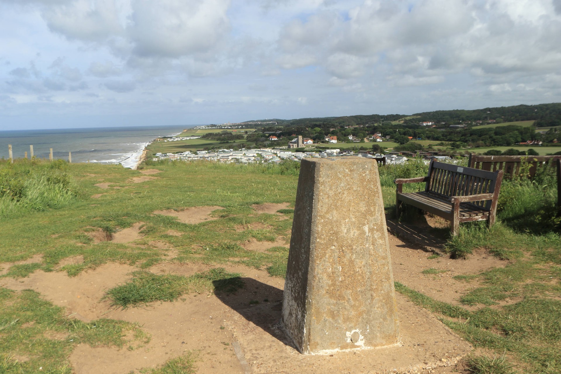
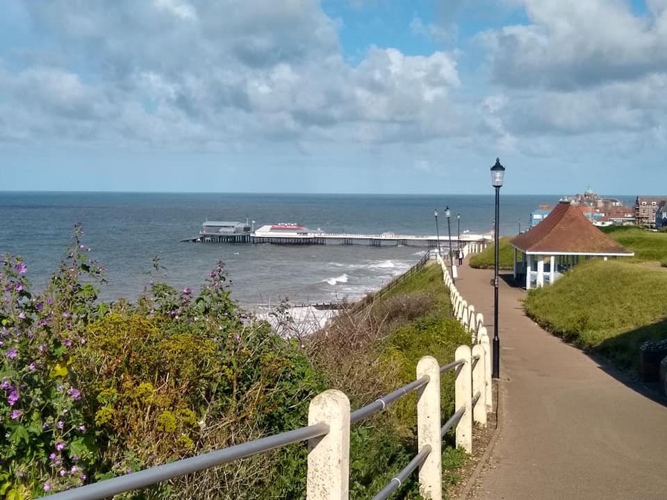
This year we experienced perfect walking weather with blue skies accompanied by cooling wind as we enjoyed the hillier than expected landscape. Starting from Sheringham station our route took us inland across Beeston Regis Common into Sheringham and Pretty Corner woods, before following Butts Lane to the village of Upper Sheringham. A voyage of discovery through the extensive National Trust grounds of Sheringham Park and on to Weybourne and we had reached the halfway point. All that remained was the bracing cliff top walk along the National Trail to our destination, the holiday resort of Cromer.
The last mile or so of this walk is somewhat spoilt by having to divert inland and along the main road to avoid a cliff fall which took with it a section of the coastal path. This happened some years ago so it looks like the temporary diversion has become permanent. A better alternative is to walk on the beach from the slipway at West Runton to Cromer, unfortunately not a viable option at high tide and we arrived at West Runton 15 minutes before high tide.
A long way from home and a long day but well worth the extra effort - it felt that we had been on holiday. Thanks to Greater Anglia at a bargain price cheaper for me to travel to Sheringham via London than to buy a ticket just to London!!
Photographs by Pete Colley and Gavin Fuller; more by Pete and Gavin on the group Facebook page
Other Files
Download Walk ReportGPX
A GPX file of the above route may be downloaded by clicking the link below.
Note: GPX files of Group Walks are created by LDWA Group members, and may be downloaded only by other LDWA members. They should not be made available outside the LDWA, and are used at members' own risk.
Login to Download (Members Only)You can use the interactive controls to zoom in and out and to move around the map, or click on a path or a marker for more info. (interactive map help)
You can use the interactive controls to zoom in and out and to move around the map, or click on a path or a marker for more info. (interactive map help)
© OpenStreetMap contributors under Open Database Licence
Rights of way data from selected Local Authorities
Large scale digital mapping is provided by John Thorn
At high zoom levels the route is indicative only.
Gallery
Maps:
You can use the interactive controls to zoom in and out and to move around the map, or click on a marker for more info. (interactive map help)
© OpenStreetMap contributors under Open Database Licence.
Rights of way data from selected Local Authorities.
Large scale digital mapping is provided by John Thorn.


