


Croydon Meander
Sat 12th Dec 2020
Walk Details:
A winding route through assorted green spaces in the country's 18 most-wooded local authority area, with a short excursion over the border into Tandridge, at no point going further than 3.7 miles in a straight line from the starting point! Expect a fair bit of mud and undulation
Entry Details:
Walk Report
Croydon Meander, Saturday 12th December 20206 walkers, 17.9 miles - leader Gavin Fuller
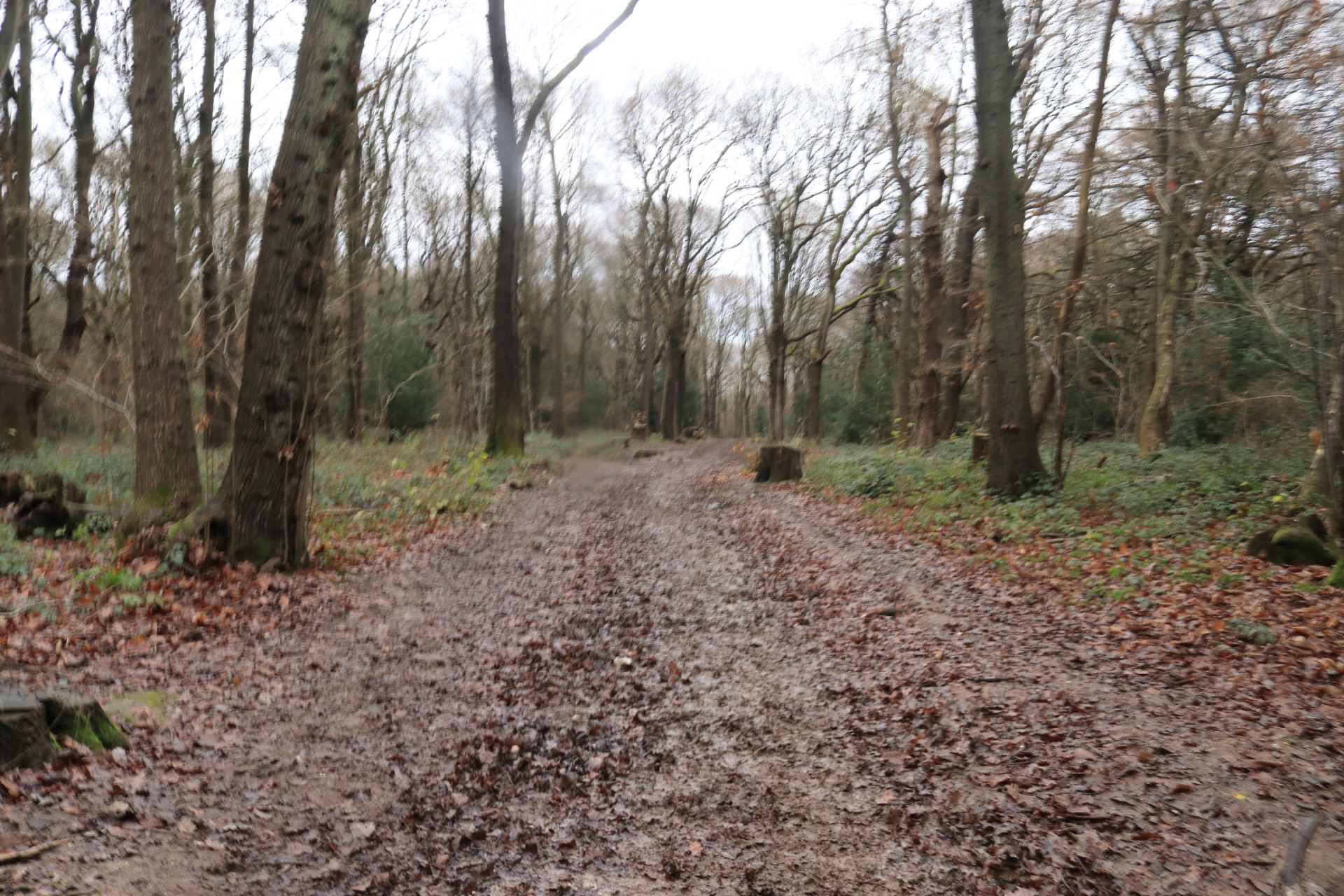
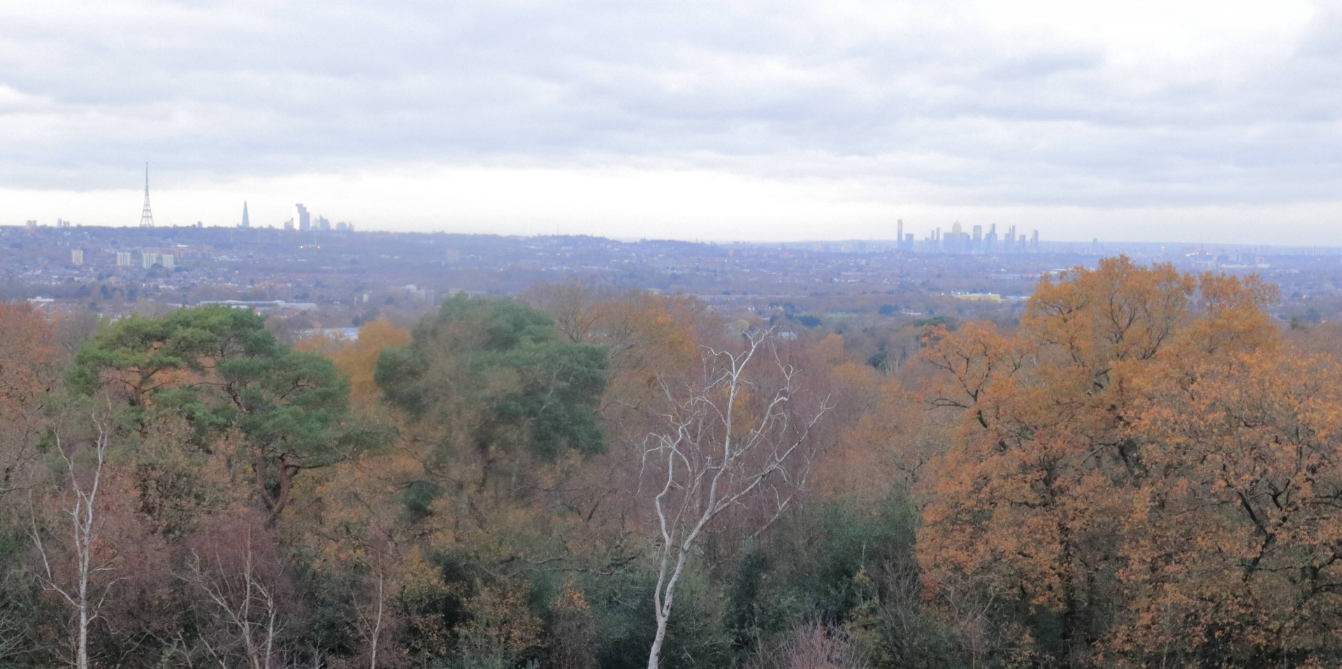
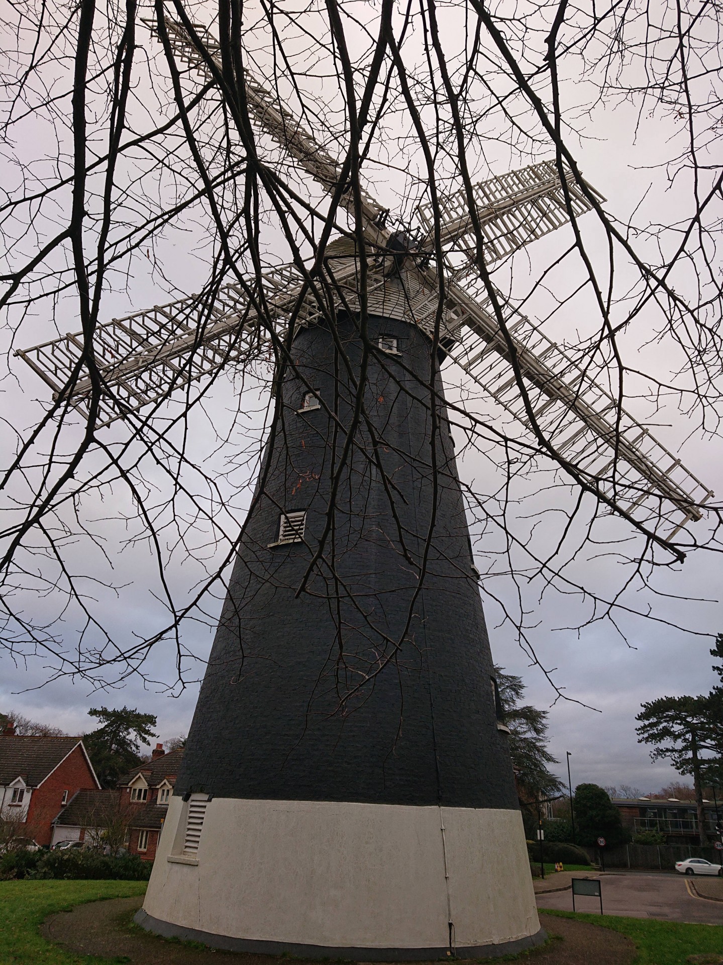
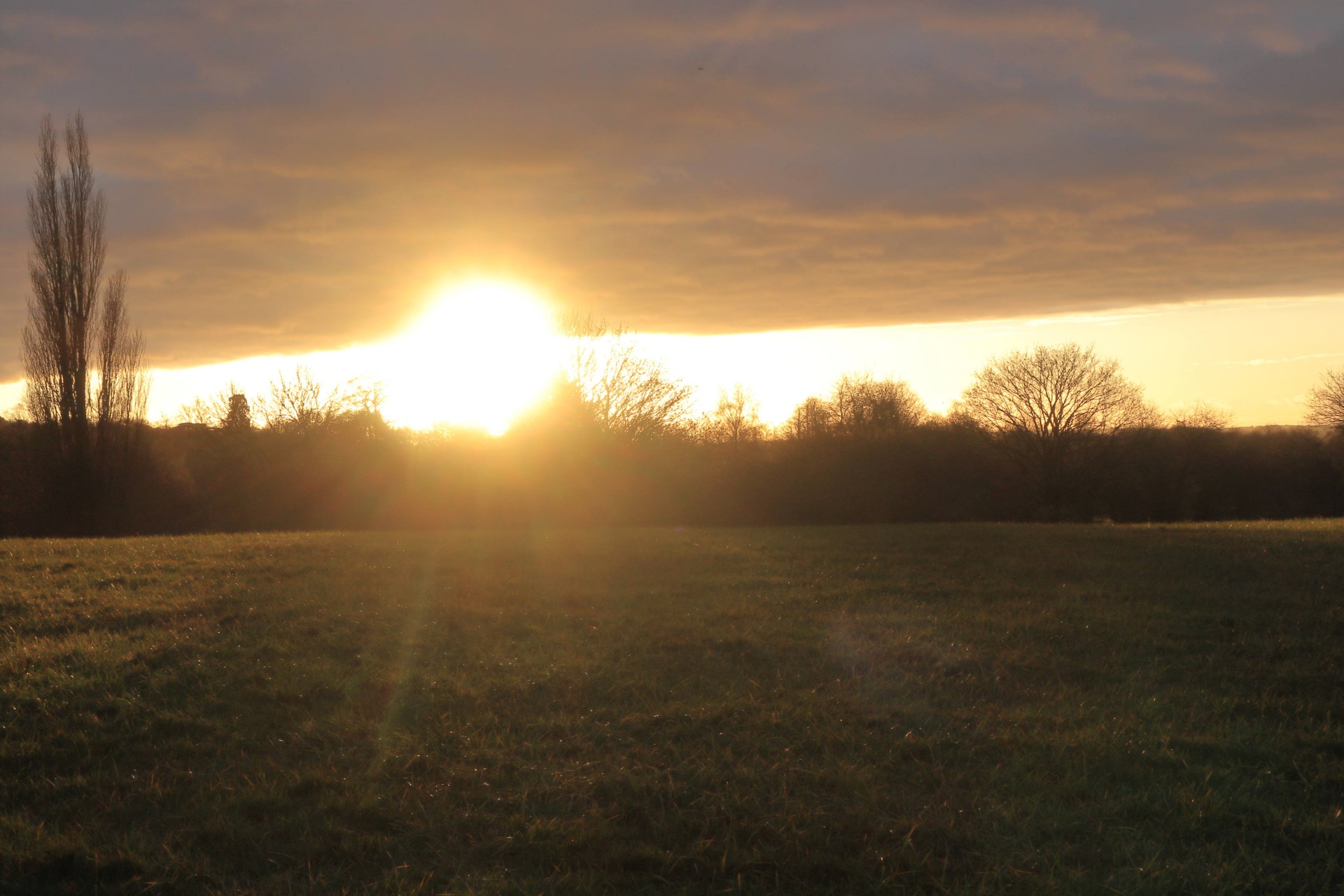
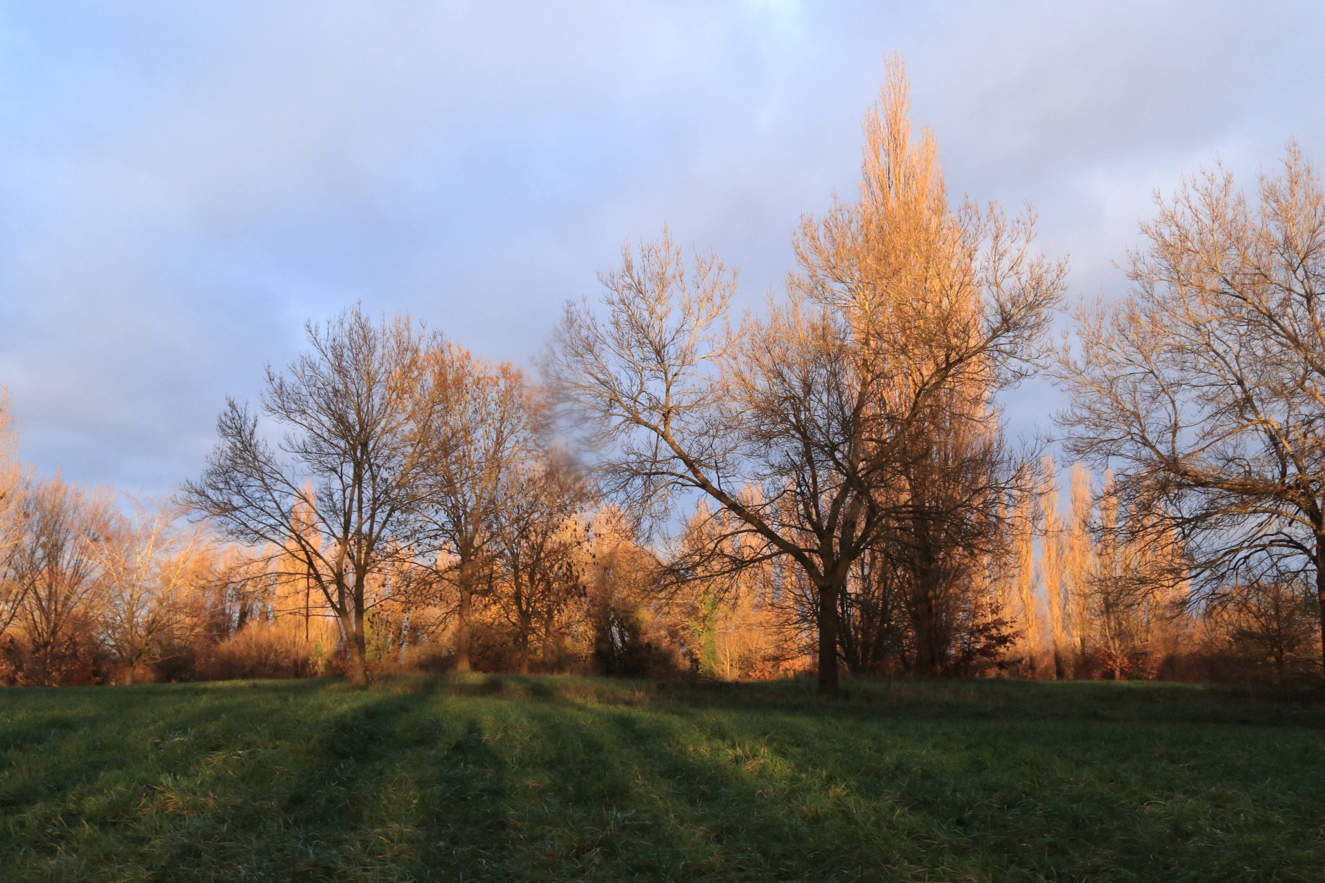
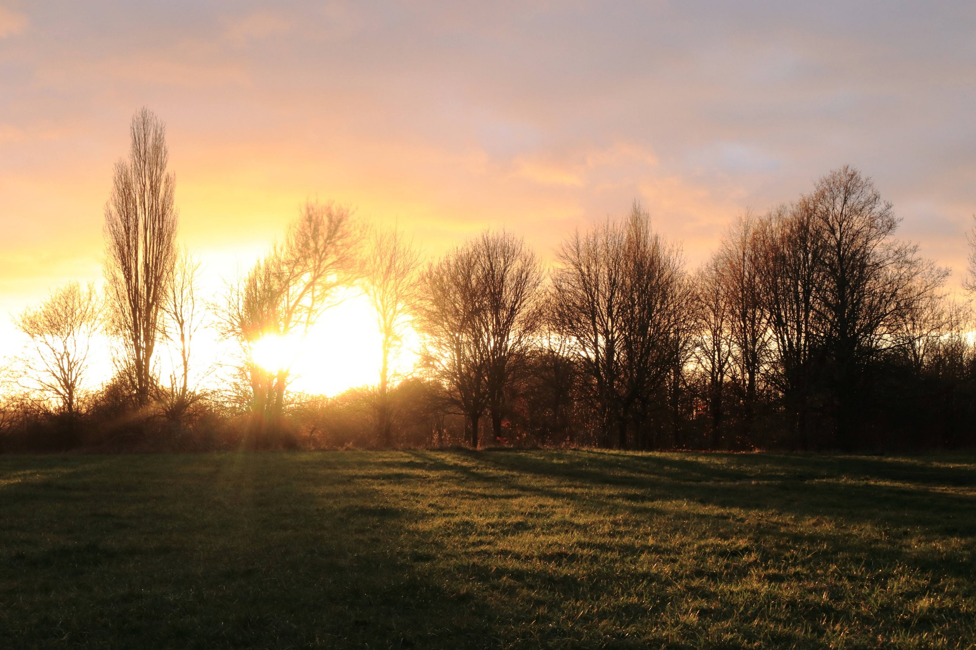
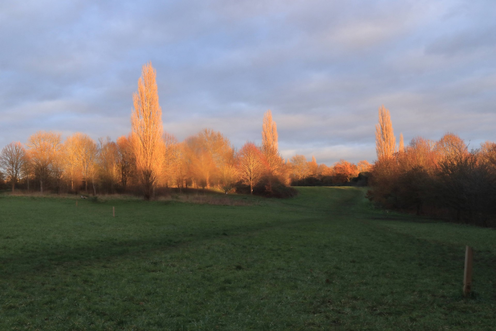
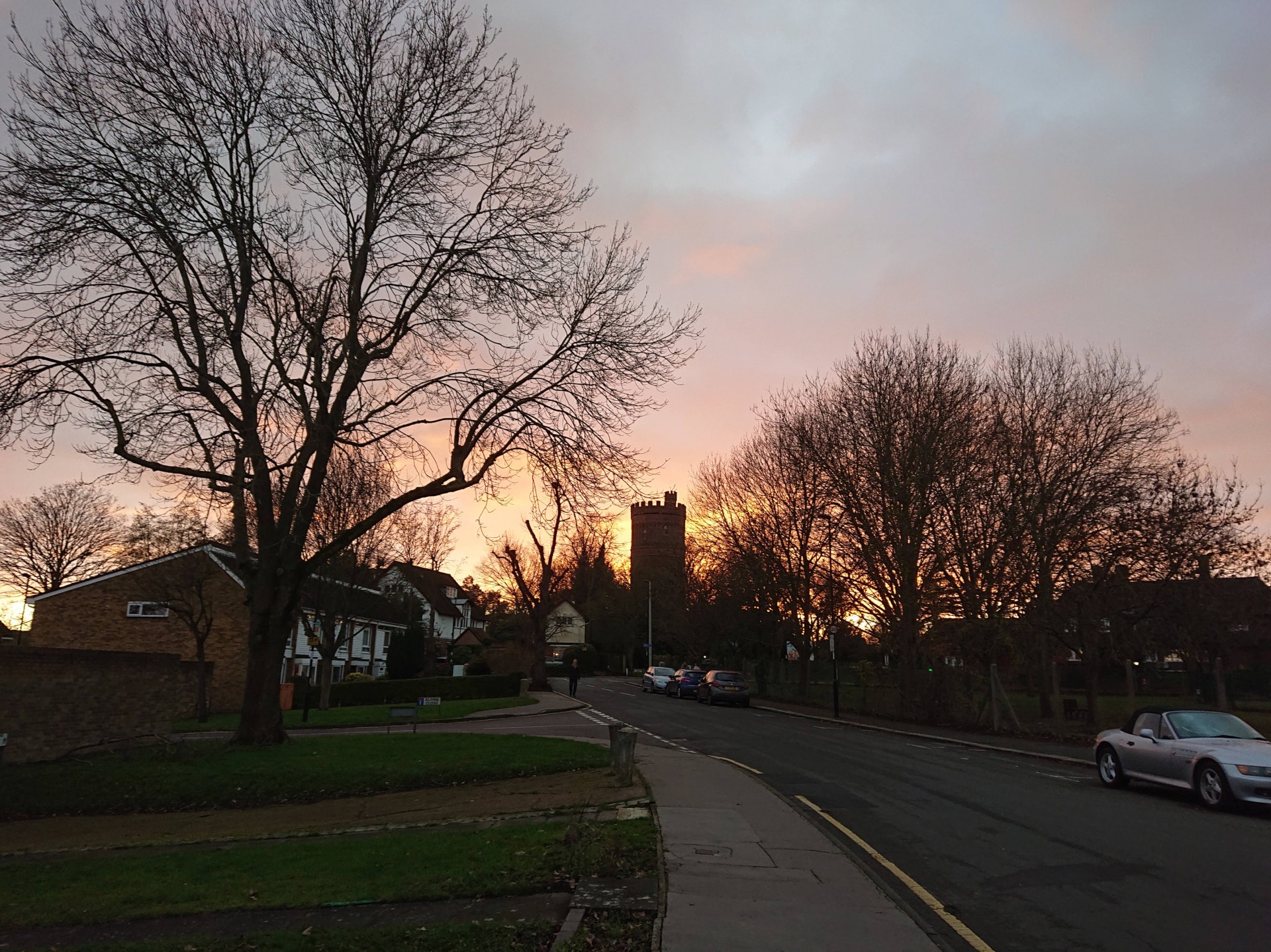
As with the first weekend once the original Lockdown was over the first of which a social walk was planned after Lockdown 2.0 saw a gloomy day for the recommencement of the programme. Nevertheless the maximum permitted number of 6 convened at South Croydon for a meandering walk through plenty of mud taking in numerous green spaces mainly in what had been recently revealed to be England's 18th-most wooded local authority area, with an excursion across the border into Surrey to take in Riddlesdown and the local commons. Starting with the climb to Croham Hurst, there was then further ascent to the highest point of the walk at 575ft/175m in Sanderstead Plantation, with plenty of further undulations to follow in the likes of Selsdon Wood, Littleheath Wood and the Addington Hills, where the group discovered just why it is in the plural in a traverse across the area. Descending down to Shirley, they were then surprised to discover a post mill in a housing estate, and after a path through a surprisingly deserted golf course the sun came out just as the penultimate park - Lloyd Park - was reached, adding interest with its illumination of the trees. One last park, Park Hill, passing Croydon's defunct water tower, took the group almost to the doorstep of the finishing point of East Croydon, having done 1,112ft of ascent en route in what was something of a voyage of discovery for most of those taking part.
Photographs by Gavin Fuller
Other Files
Download Walk ReportGPX
A GPX file of the above route may be downloaded by clicking the link below.
Note: GPX files of Group Walks are created by LDWA Group members, and may be downloaded only by other LDWA members. They should not be made available outside the LDWA, and are used at members' own risk.
Login to Download (Members Only)You can use the interactive controls to zoom in and out and to move around the map, or click on a path or a marker for more info. (interactive map help)
You can use the interactive controls to zoom in and out and to move around the map, or click on a path or a marker for more info. (interactive map help)
© OpenStreetMap contributors under Open Database Licence
Rights of way data from selected Local Authorities
Large scale digital mapping is provided by John Thorn
At high zoom levels the route is indicative only.
Gallery


Maps:
You can use the interactive controls to zoom in and out and to move around the map, or click on a marker for more info. (interactive map help)
© OpenStreetMap contributors under Open Database Licence.
Rights of way data from selected Local Authorities.
Large scale digital mapping is provided by John Thorn.


