


To the Battle Island
Sat 31st Oct 2020
Walk Details:
Event Type
Group Walk
Region / Area
Southern England / London
Local Group
London
Distance
19ml.
Start Time
09.15
Route
Chelmsford
General Notes
This is a linear walk requiring bus travel to return to start, extra cost approx. £5 (English national bus passes accepted)
Web Site
Start
Finish
Entry Details:
Cost
Walk Report
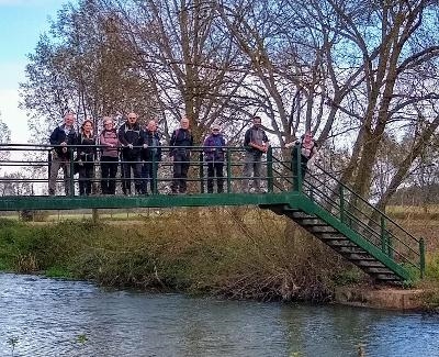
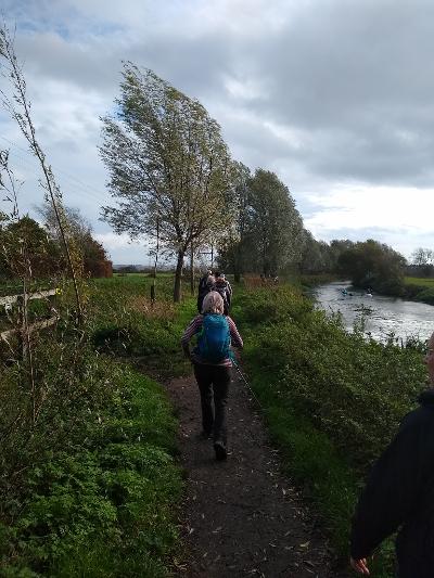
To the Battle Island, Saturday 31st October 202010 walkers, 19 miles but abandoned at 8 - leader Ron Williamson
A walk plagued with practical difficulties commencing with a late change to the proposed finish caused by a review of Covid restrictions which resulted in closure of public toilets and difficulties in finding a suitable venue for a lunch stop.
On the day a failed freight train delayed our start time by some 40 mins. and a further frustration was the need to divert to alternative toilets due to an unexpected closure because of a lack of hot water.
After the late start and factoring in the pace we had walked at during the morning I estimated that we would reach our intended finish point no earlier than 17:30.
This would have meant at least 30mins of walking in the dark which combined with the poor weather and likely ground conditions increased the hazards indicated in my risk assessment to the point where an alternative plan needed to be actioned. Danbury was the last place on route with a reasonable bus service, and a good shelter so a good place to bail out. In fact bail out was now appropriate as the weather had now become dire with driving rain in the gale force winds.
A disappointing end to what is a varied and interesting route all on footpaths with just 6 roads to cross in the 8 miles. Unfinished business we will return in the New Year, Our original intended destination of Northey Island in the Blackwater estuary is approached by a causeway which is under water for 6 hours each tide, permission to visit needs to be obtained in advance from the National Trust (no problem) but the island is closed from November to March to protect the bird population.
Photographs by Keith Lane and Pete Colley
Other Files
Download Walk ReportGallery

Maps:
You can use the interactive controls to zoom in and out and to move around the map, or click on a marker for more info. (interactive map help)
Contains Ordnance Survey data © Crown copyright and database right 2016.
© OpenStreetMap contributors under Open Database Licence.
Rights of way data from selected Local Authorities.
Large scale digital mapping is provided by John Thorn.
© OpenStreetMap contributors under Open Database Licence.
Rights of way data from selected Local Authorities.
Large scale digital mapping is provided by John Thorn.


