


A Founders Walk
Sat 10th Oct 2020
Walk Details:
A circular from Dorking, taking in the plaque on Pitch Hill, Blatchford Down and Steers Field
Entry Details:
Walk Report
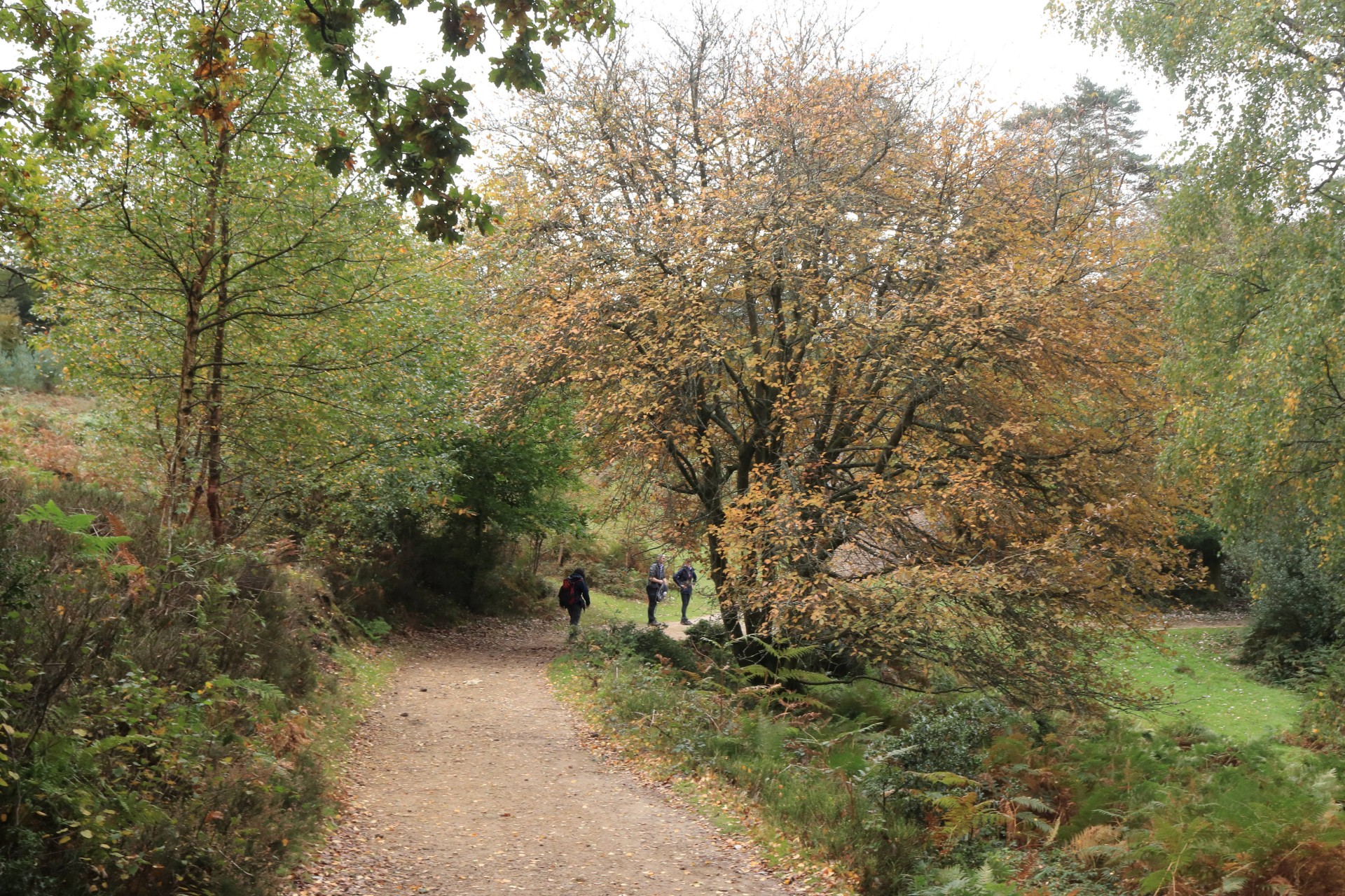
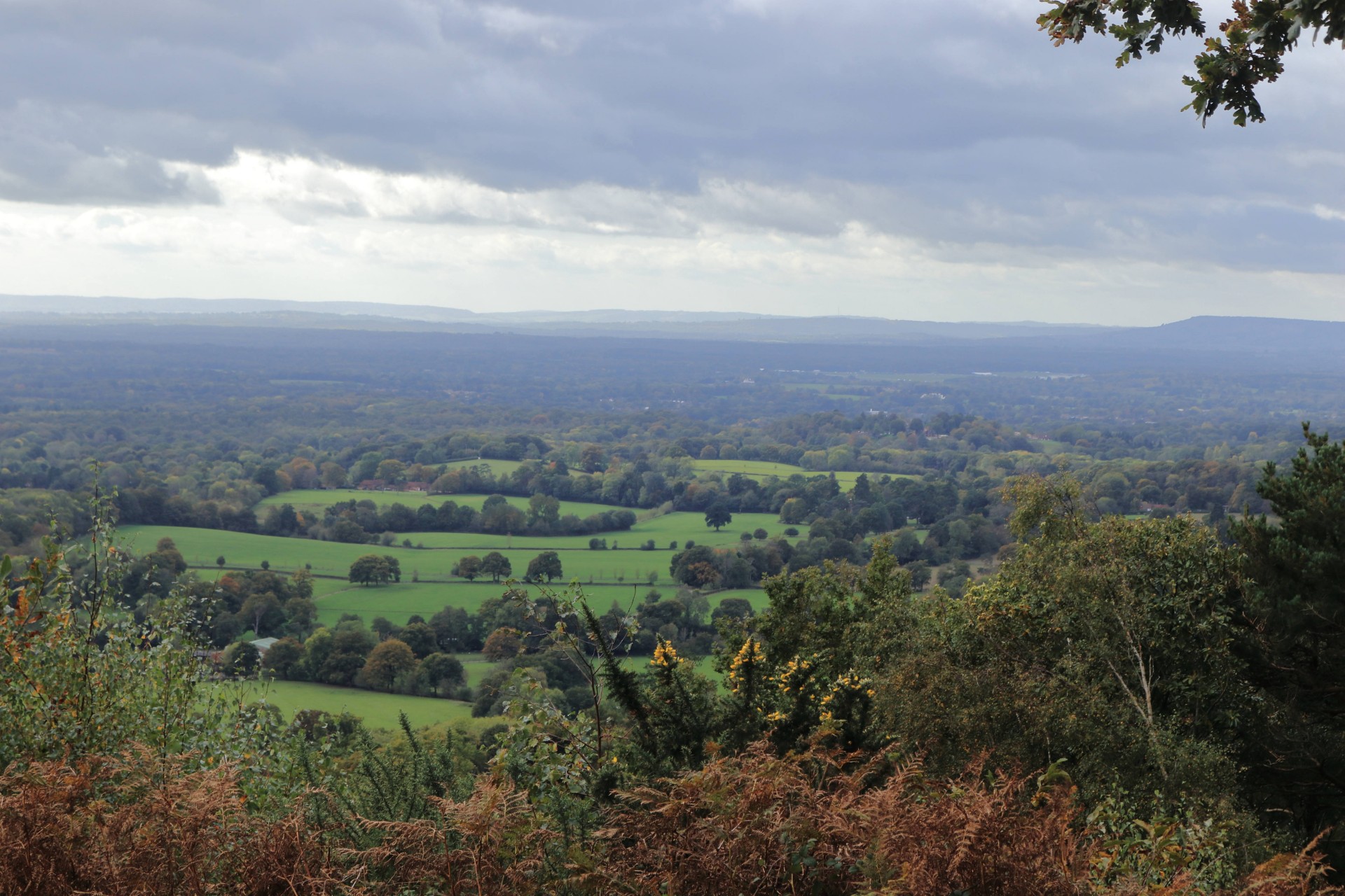
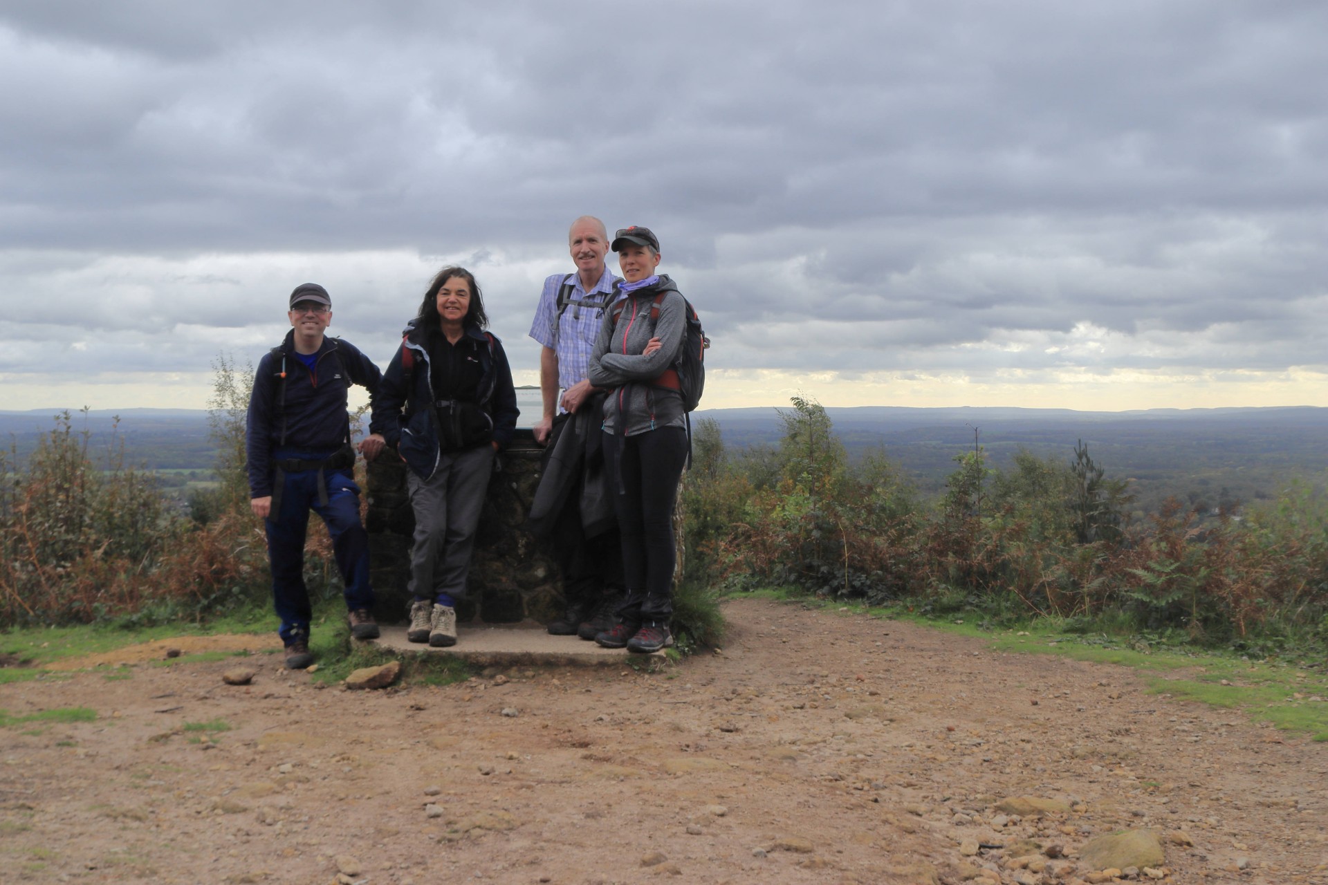
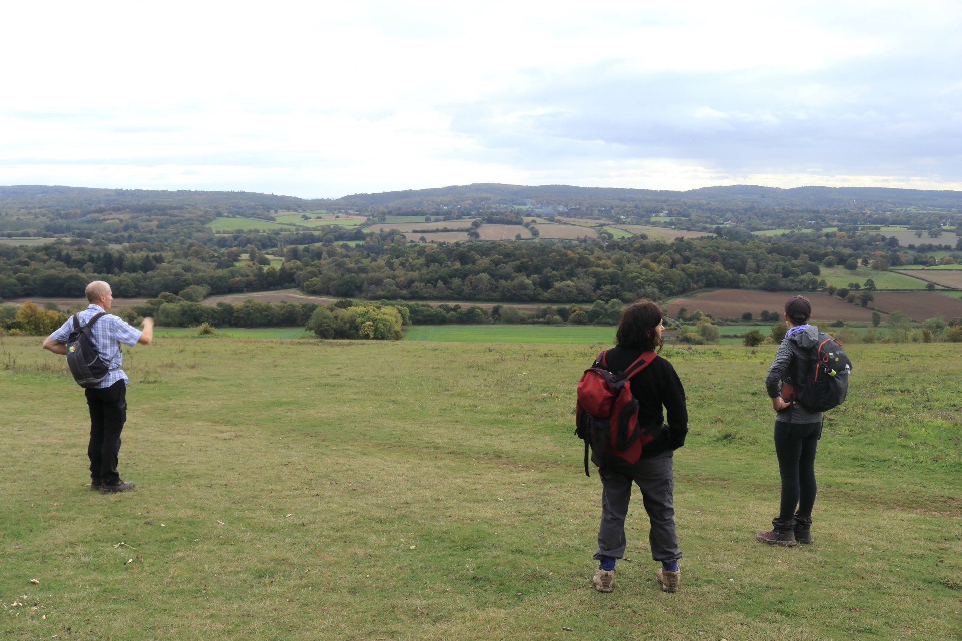
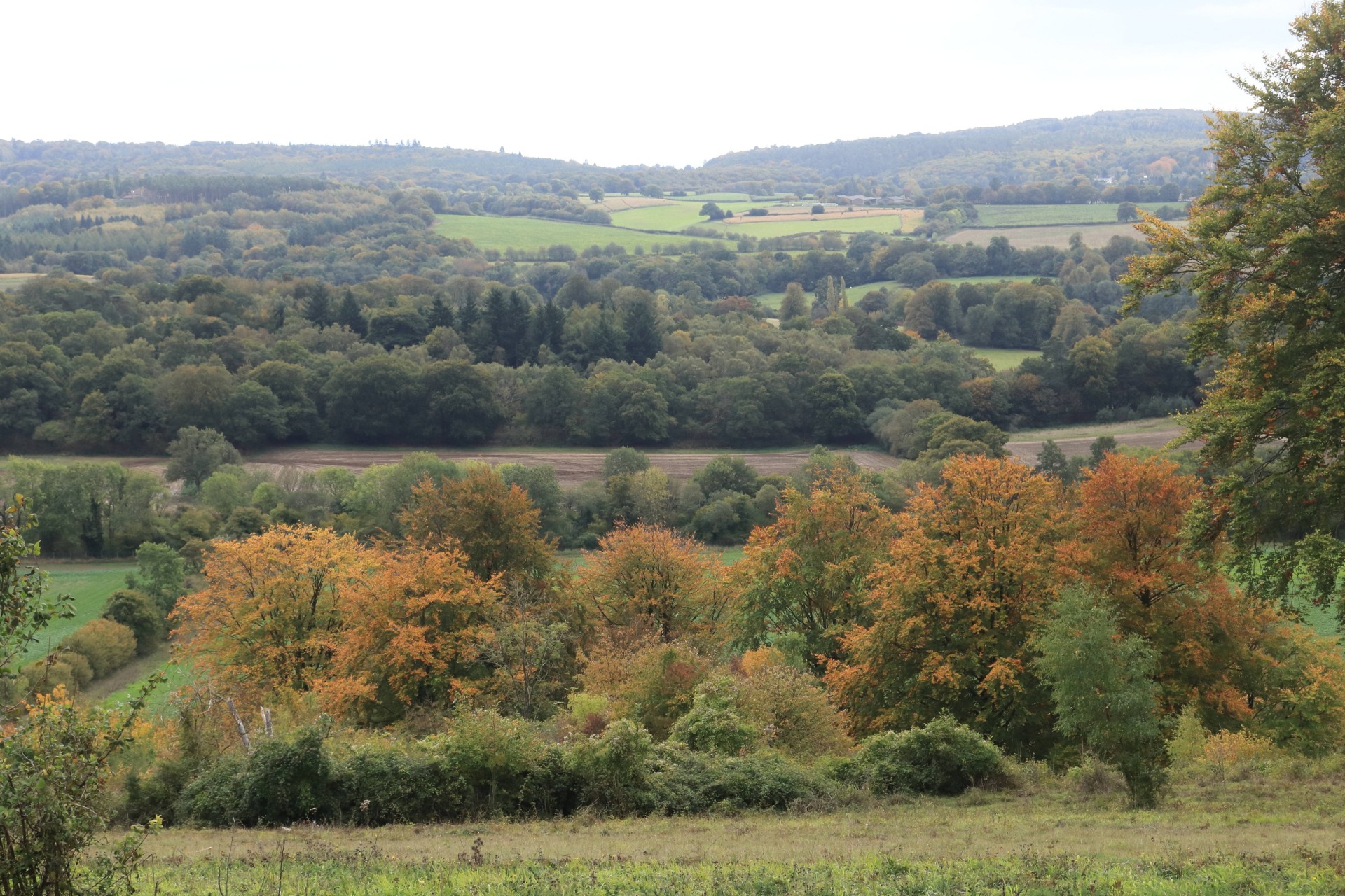
A Founders Walk, Saturday 10th October 20204 walkers, 23 miles - leader Gavin Fuller
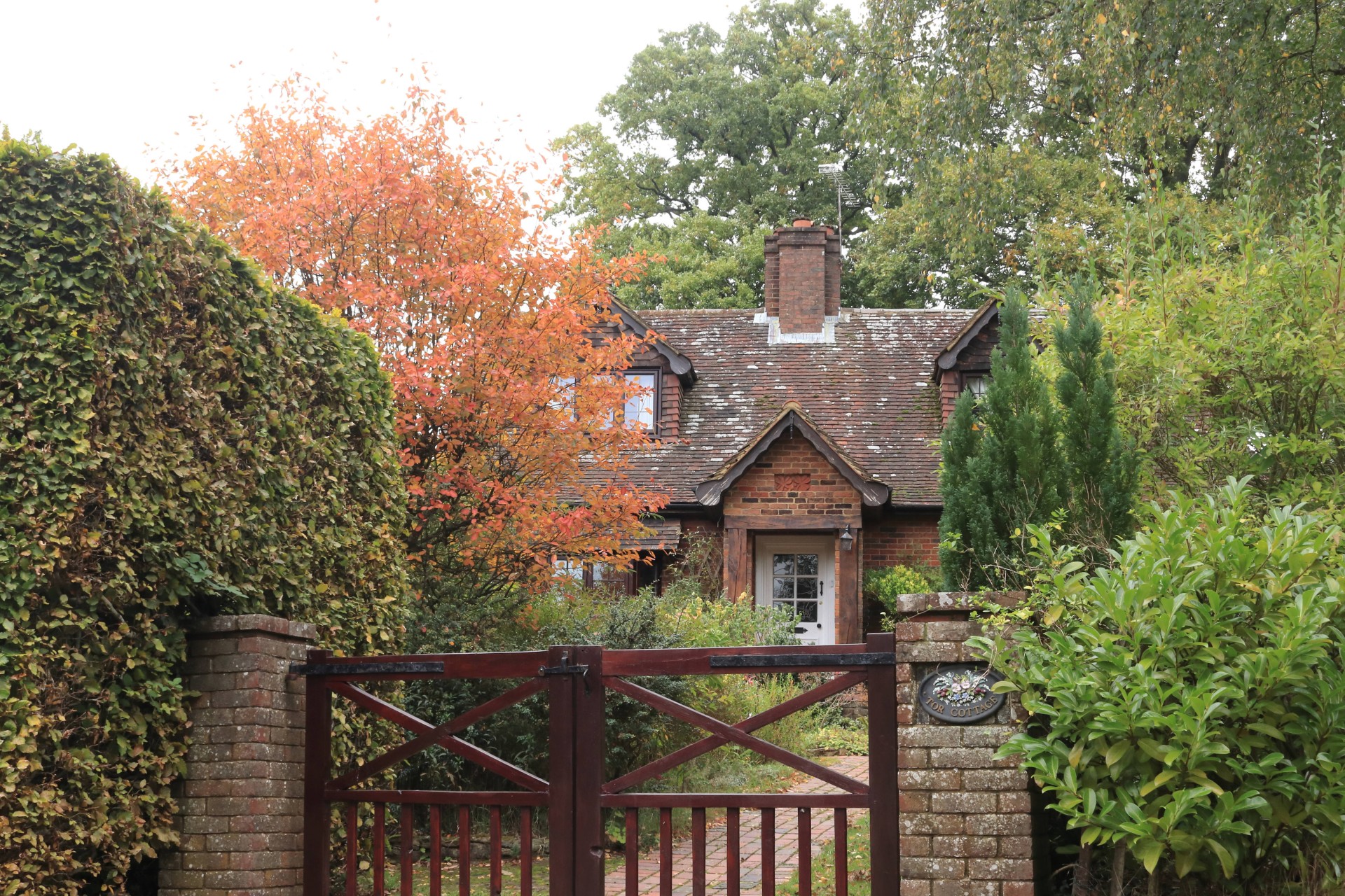
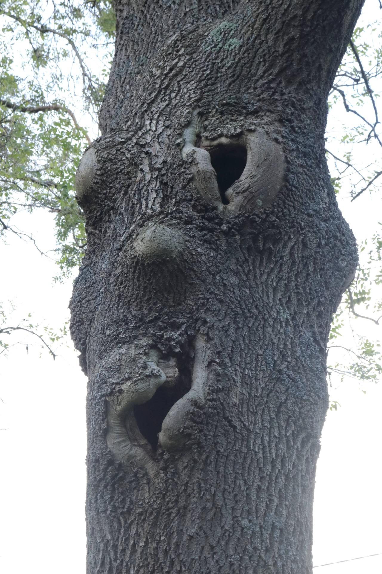
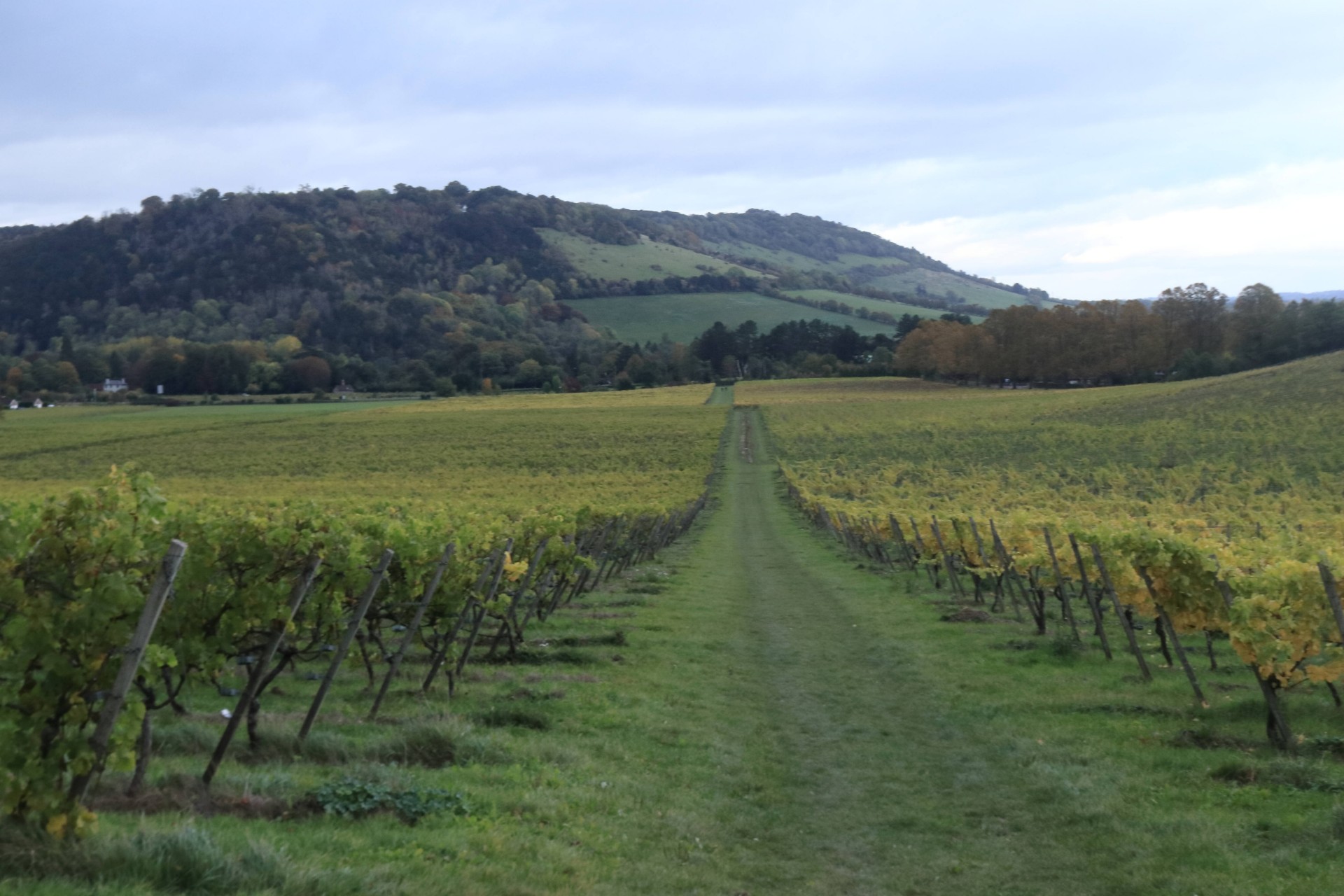
Sadly only three people decided to join the leader for a circuit from Dorking taking in four places linked with the LDWA's founders in the shape of Pitch Hill, Peaslake, Blatchford Down and Steers Field on what was a pleasant autumnal day for walking. After an urban start through Dorking taking in the leader's great-grandfather's former shop, the route meandered up to Leith Hill and Holmbury Hill, with bikers more in evidence than walkers for a good portion of the Greensand Ridge. Descending from Pitch Hill to Peaslake for lunch, the route then headed north along a sunken way before an ascent to the North Downs at Blatchford Down, and then through the woods to Steers Field, before a descent through Denbies vineyard back to Dorking. Completed in a shade under 8 hours with 2,244 feet of ascent, those who came had an enjoyable day out in wooded Surrey.
Photographs by Gavin Fuller; more by Gavin on the Group Facebook page
Other Files
Download Walk ReportGPX
A GPX file of the above route may be downloaded by clicking the link below.
Note: GPX files of Group Walks are created by LDWA Group members, and may be downloaded only by other LDWA members. They should not be made available outside the LDWA, and are used at members' own risk.
Login to Download (Members Only)You can use the interactive controls to zoom in and out and to move around the map, or click on a path or a marker for more info. (interactive map help)
You can use the interactive controls to zoom in and out and to move around the map, or click on a path or a marker for more info. (interactive map help)
© OpenStreetMap contributors under Open Database Licence
Rights of way data from selected Local Authorities
Large scale digital mapping is provided by John Thorn
At high zoom levels the route is indicative only.
Gallery

Maps:
You can use the interactive controls to zoom in and out and to move around the map, or click on a marker for more info. (interactive map help)
© OpenStreetMap contributors under Open Database Licence.
Rights of way data from selected Local Authorities.
Large scale digital mapping is provided by John Thorn.


