


London 25th Anniversary Walk: St James Park
Sat 12th Sep 2020
Walk Details:
A circular exploration of the parks and riverbank of West London. The route is based on the first half of the sadly cancelled 2020 Capital Challenge. Various shops en route for refreshments, picnic lunch in Holland Park
Entry Details:
Walk Report
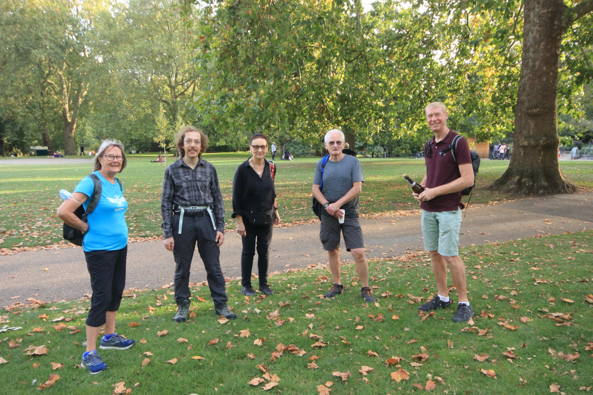
London Parks and Riverside, Saturday 12th September 20206 walkers, 14 miles - leader Adam Dawson
Our walk on Saturday followed the first half of the sadly-cancelled 2020 Capital Challenge and was one of a number of walks held to celebrate the 25th anniversary of the formation of the London Group.
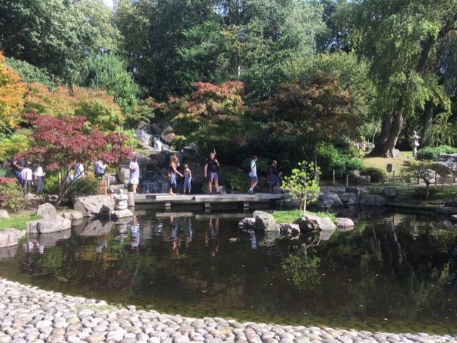
From St James' Park we headed east to follow an anti-clockwise loop taking in, among other notable locations: Green Park, Hyde Park, Kensington Gardens, Holland Park, Brompton Cemetery and Battersea Park. We took a brief diversion down Hyde Park Gate to check out Winston Churchill's former residence, before breaking for a picnic lunch in Holland Park.
As we made our way back round the loop to St James Park again, we crossed over Battersea Bridge where, very much to our surprise, we spotted a large black seal taking a leisurely swim in the murky waters of the Thames.
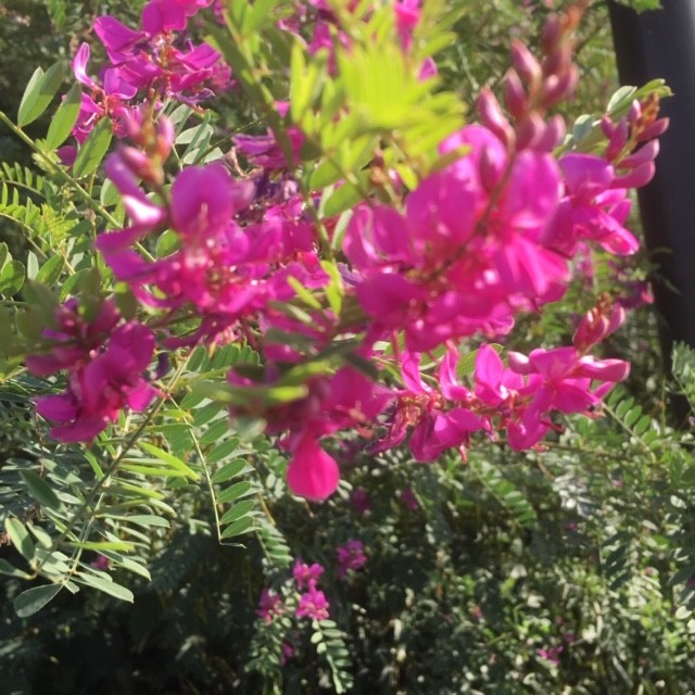
The warm sunshine throughout the route made the walk particularly enjoyable and brought out an abundance of late summer flowers to add colour. The welcoming glass of Prosecco in St James Park, kindly organised by Marie and Colin, added the final touch to a perfect day out. Even the social distancing rules couldn't dampen the enjoyment of catching up with old friends and familiar faces at the end.
Photographs by Adam Dawson
Other Files
Download Walk ReportGPX
A GPX file of the above route may be downloaded by clicking the link below.
Note: GPX files of Group Walks are created by LDWA Group members, and may be downloaded only by other LDWA members. They should not be made available outside the LDWA, and are used at members' own risk.
Login to Download (Members Only)You can use the interactive controls to zoom in and out and to move around the map, or click on a path or a marker for more info. (interactive map help)
You can use the interactive controls to zoom in and out and to move around the map, or click on a path or a marker for more info. (interactive map help)
© OpenStreetMap contributors under Open Database Licence
Rights of way data from selected Local Authorities
Large scale digital mapping is provided by John Thorn
At high zoom levels the route is indicative only.
Gallery


Maps:
You can use the interactive controls to zoom in and out and to move around the map, or click on a marker for more info. (interactive map help)
© OpenStreetMap contributors under Open Database Licence.
Rights of way data from selected Local Authorities.
Large scale digital mapping is provided by John Thorn.


