


'Comets and Curry' Weekend Day 2
Sun 20th Nov 2016
Walk Details:
Event Type
Group Walk
Region / Area
Southern England / London
Local Group
London
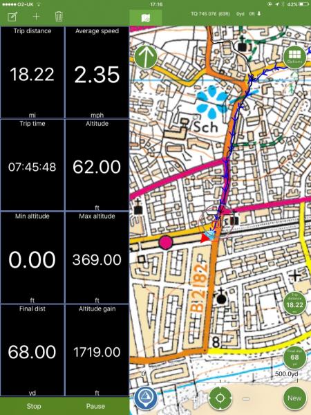
Distance
18.5ml.
Start Time
09.15
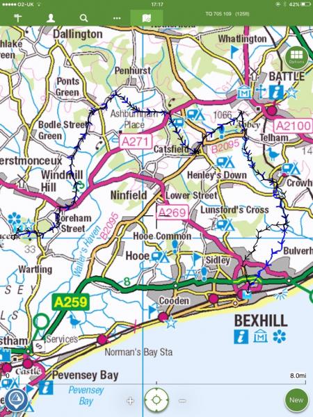
Route
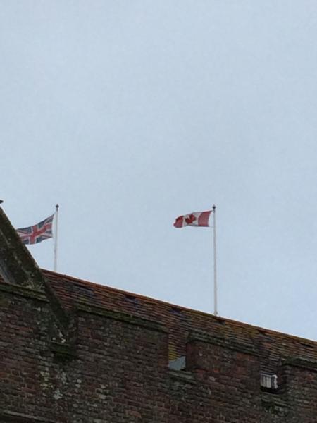
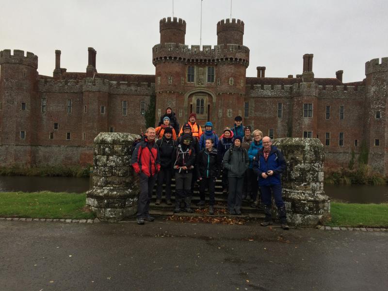
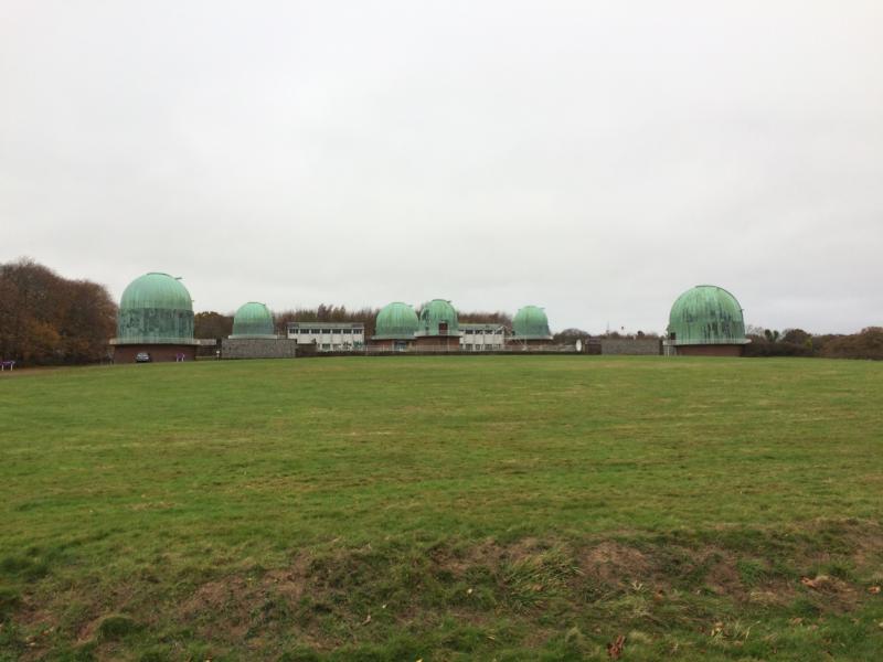
Herstmonceux
Walk to Bexhill
Web Site
Start and Finish
Entry Details:
Cost
Walk Report
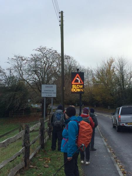
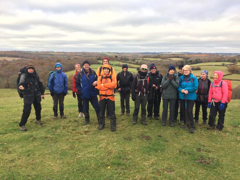
'Comets and Curry' Weekend Away Day 2, Sunday 20th November 201615 walkers, 18.5 miles - leader Adam Dawson
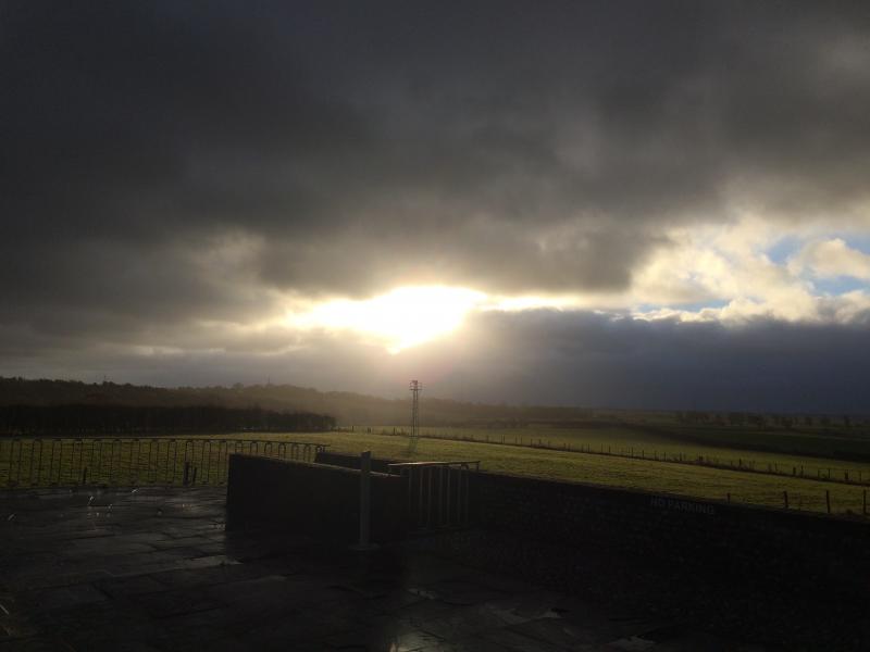
On Sunday morning it was with some trepidation that we set off after breakfast into the declining teeth of the storm. But the gale soon abated and luckily the rain stopped just before we set off. We even enjoyed a brief glimpse of sun around lunchtime. The afternoon section of the walk to Bexhill was all going fabulously until we hit an unexpected obstacle in the form of a large lake completely submerging the route through which our path lay. A hasty diversion down a nearby and brand-new cycle path sidestepped the water hazard and saw us into Bexhill just in time to catch the 17:32 back to London.
All in all an interesting and worthwhile LDWA weekend away, despite the overnight stormy visitation.
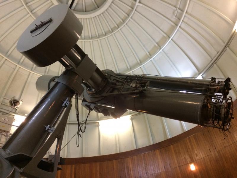
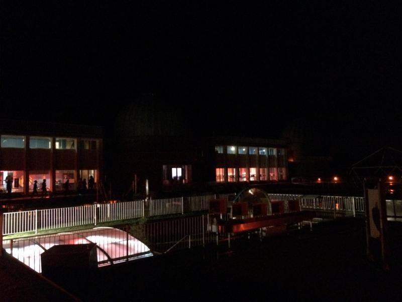
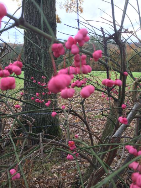
Photographs by Adam Dawson
Other Files
Download Walk ReportGPX
A GPX file of the above route may be downloaded by clicking the link below.
Note: GPX files of Group Walks are created by LDWA Group members, and may be downloaded only by other LDWA members. They should not be made available outside the LDWA, and are used at members' own risk.
Login to Download (Members Only)You can use the interactive controls to zoom in and out and to move around the map, or click on a path or a marker for more info. (interactive map help)
You can use the interactive controls to zoom in and out and to move around the map, or click on a path or a marker for more info. (interactive map help)
Contains Ordnance Survey data © Crown copyright and database right 2016.
© OpenStreetMap contributors under Open Database Licence
Rights of way data from selected Local Authorities
Large scale digital mapping is provided by John Thorn
At high zoom levels the route is indicative only.
© OpenStreetMap contributors under Open Database Licence
Rights of way data from selected Local Authorities
Large scale digital mapping is provided by John Thorn
At high zoom levels the route is indicative only.
Gallery


Maps:
You can use the interactive controls to zoom in and out and to move around the map, or click on a marker for more info. (interactive map help)
Contains Ordnance Survey data © Crown copyright and database right 2016.
© OpenStreetMap contributors under Open Database Licence.
Rights of way data from selected Local Authorities.
Large scale digital mapping is provided by John Thorn.
© OpenStreetMap contributors under Open Database Licence.
Rights of way data from selected Local Authorities.
Large scale digital mapping is provided by John Thorn.


