


The Tarmac Walkers go further east - mid week pop up,
Tue 18th Feb 2020
Walk Details:
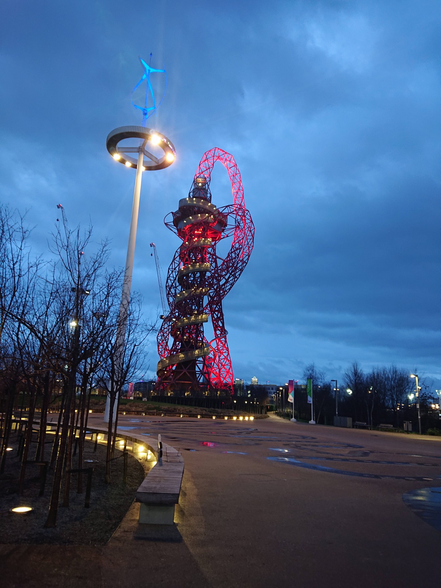
A north to south linear route, featuring the borough top of Waltham Forest, two lost rivers, Walthamstow village and wetlands, and Saxon Leyton, crossing the Queen Elizabeth Park to reconnect with Fish island before paying homage once again to the home of football
Entry Details:
Walk Report
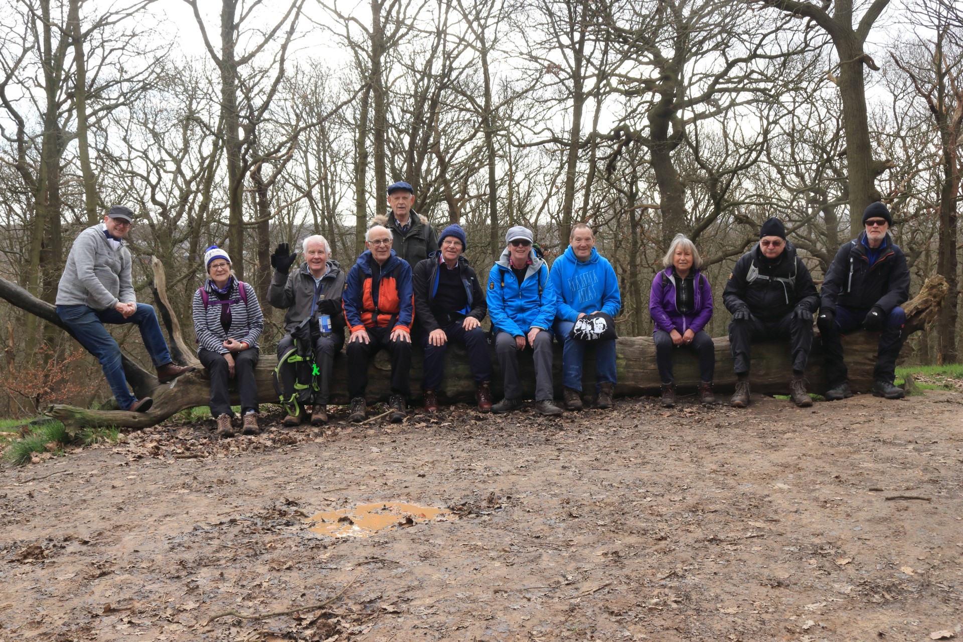
The Tarmac Walkers Go Further East, Tuesday 18th February 202014 walkers, 15 miles - leader Ron Williamson. Mud rating 2/10
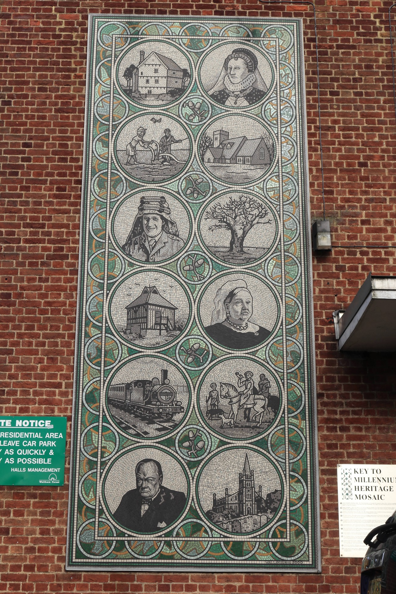
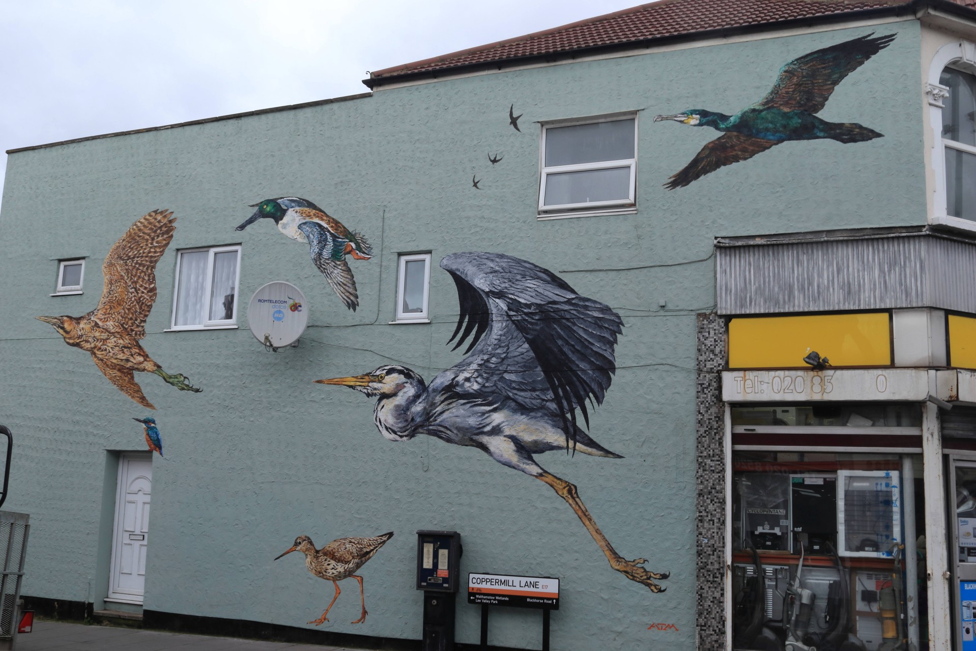
Today's route was a north south linear route featuring; the borough top of Waltham Forest, two lost rivers, Walthamstow village and Wetlands, and Viking Leyton, before crossing the Queen Elizabeth Park to reconnect with Fish Island and paying homage once again to the home of football.
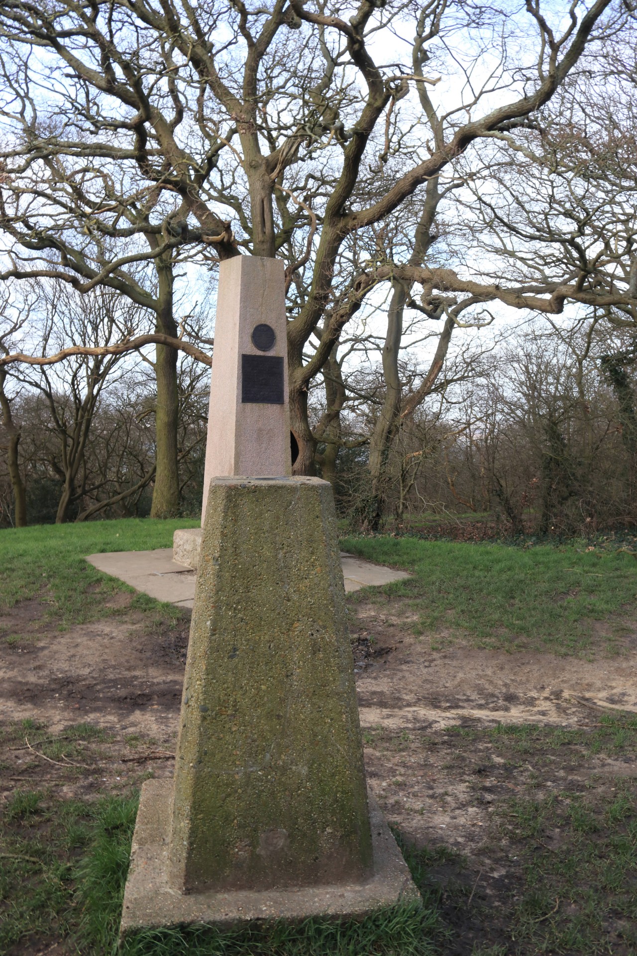
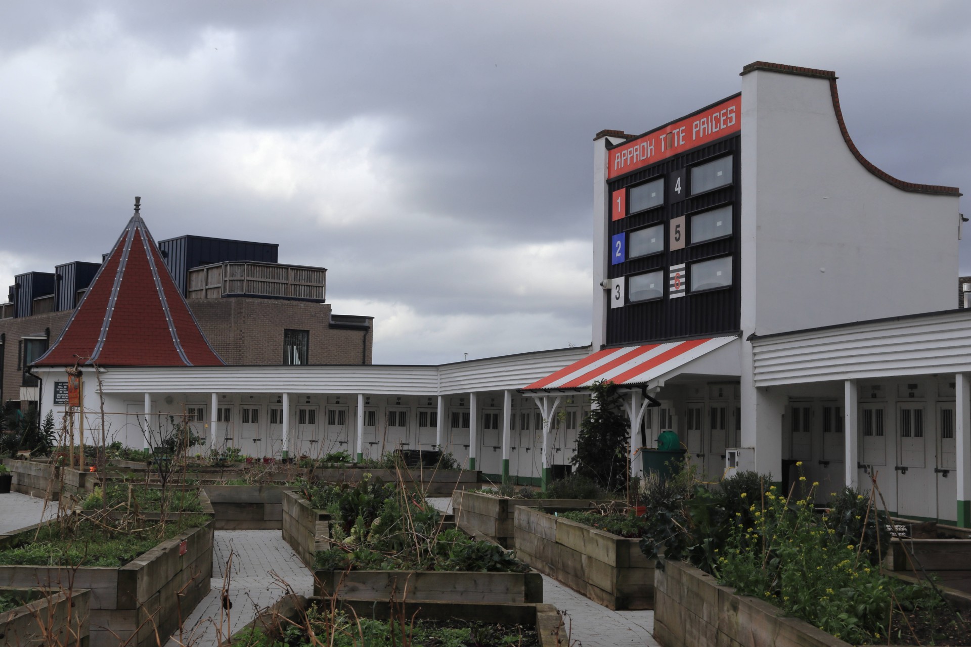
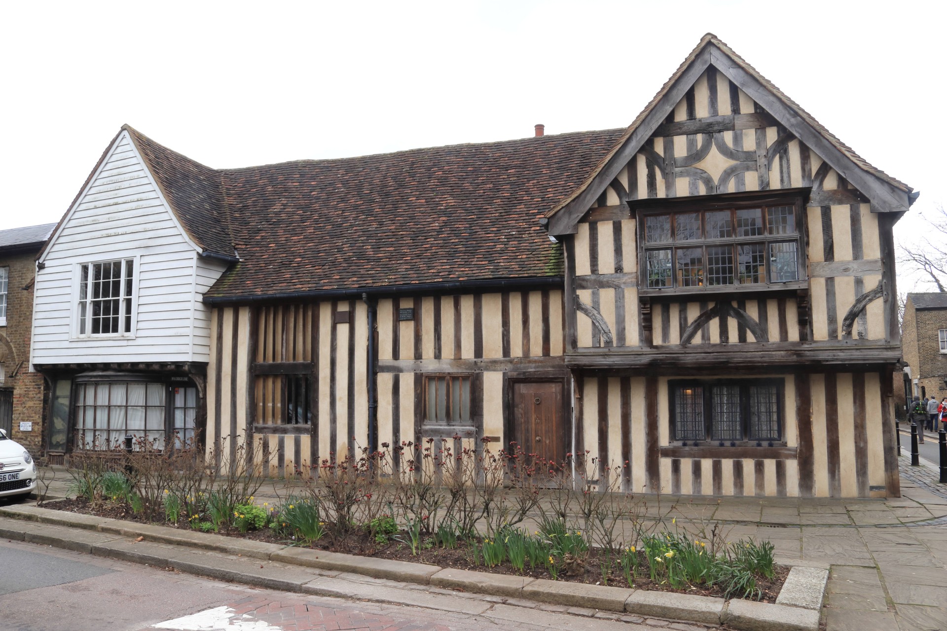
Our start at Chingford on the edge of Epping Forest with the heights of Pole Hill and the environs of Stratford at the finish were familiar ground to all, but in between our perambulation led us to through unknown territory. An interesting route with the highlights being the unexpected heights of Larks Wood, the preserved remnants of Walthamstow stadium, the contrast between the original Walthamstow village and today's High Street only a few hundred yards apart and the path alongside the Dagenham Brook which for years was a no go area but now a place of recreation for Leytonians.
A dry day except for a cold squally shower which caused us to take shelter and cancel a tour of the appropriately named Wetlands.
Photographs by Gavin Fuller; more by Gavin and Ian Watson on the group Facebook site.
Other Files
Download Walk ReportGPX
A GPX file of the above route may be downloaded by clicking the link below.
Note: GPX files of Group Walks are created by LDWA Group members, and may be downloaded only by other LDWA members. They should not be made available outside the LDWA, and are used at members' own risk.
Login to Download (Members Only)You can use the interactive controls to zoom in and out and to move around the map, or click on a path or a marker for more info. (interactive map help)
You can use the interactive controls to zoom in and out and to move around the map, or click on a path or a marker for more info. (interactive map help)
© OpenStreetMap contributors under Open Database Licence
Rights of way data from selected Local Authorities
Large scale digital mapping is provided by John Thorn
At high zoom levels the route is indicative only.
Gallery
Maps:
You can use the interactive controls to zoom in and out and to move around the map, or click on a marker for more info. (interactive map help)
© OpenStreetMap contributors under Open Database Licence.
Rights of way data from selected Local Authorities.
Large scale digital mapping is provided by John Thorn.


