


The Tarmac Walkers go east - mid week pop up!
Tue 28th Jan 2020
Walk Details:
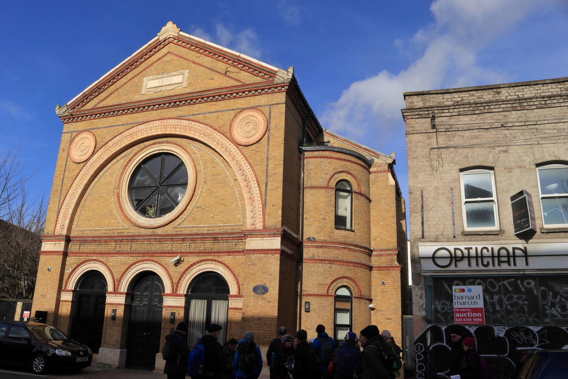
50 Shades of the East. Visiting parts of Bow, Hackney, Bethnal Green, Whitechapel, Spitalfields, Shoreditch and Hoxton. This route has not been recced so expect unplanned deviations and diversions
Entry Details:
Walk Report
The Tarmac Walkers Go East, Tuesday 28th January 202019 walkers, 11.4 miles (12.4 miles for those who went to the Wetherspoons) - leader Ron Williamson
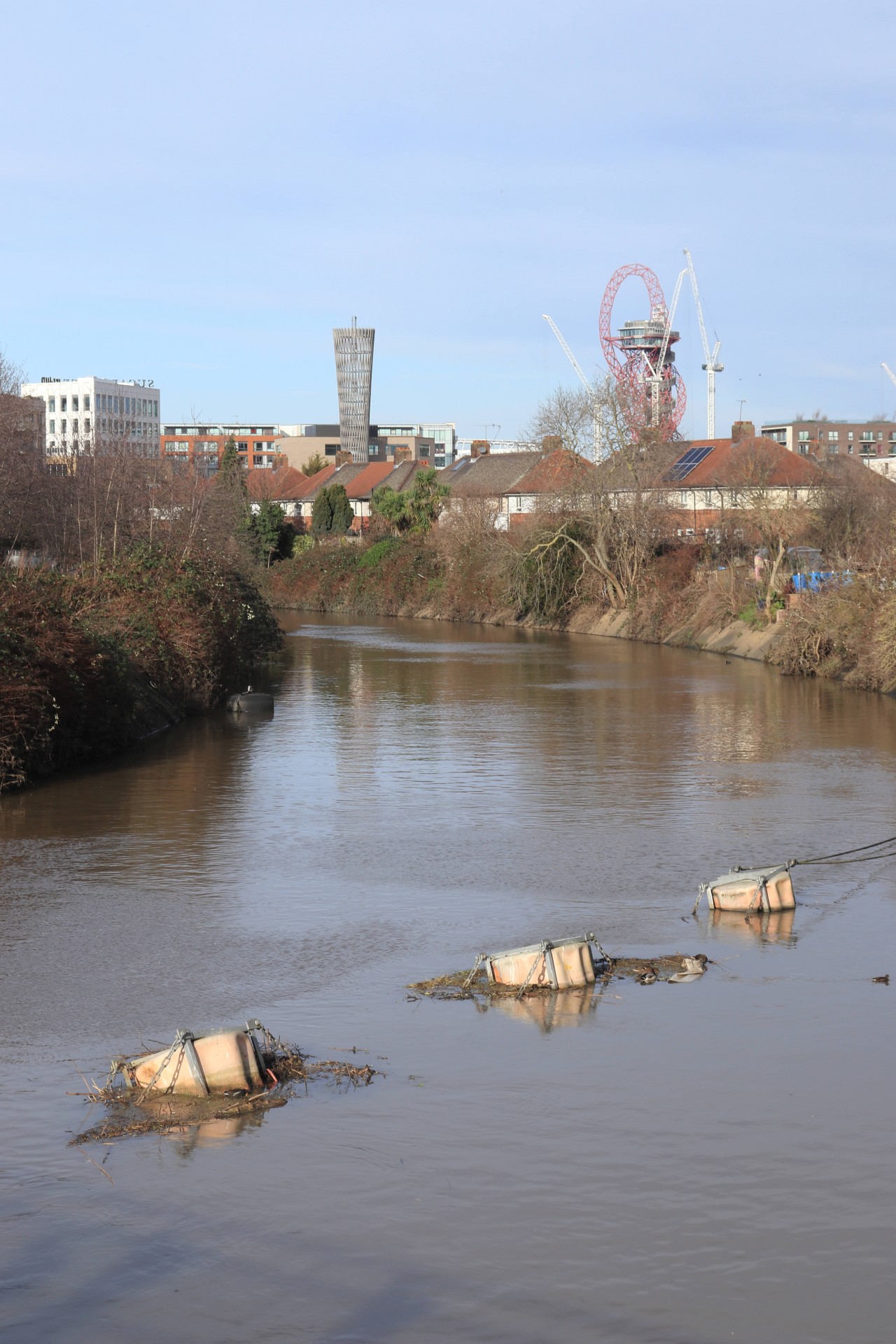
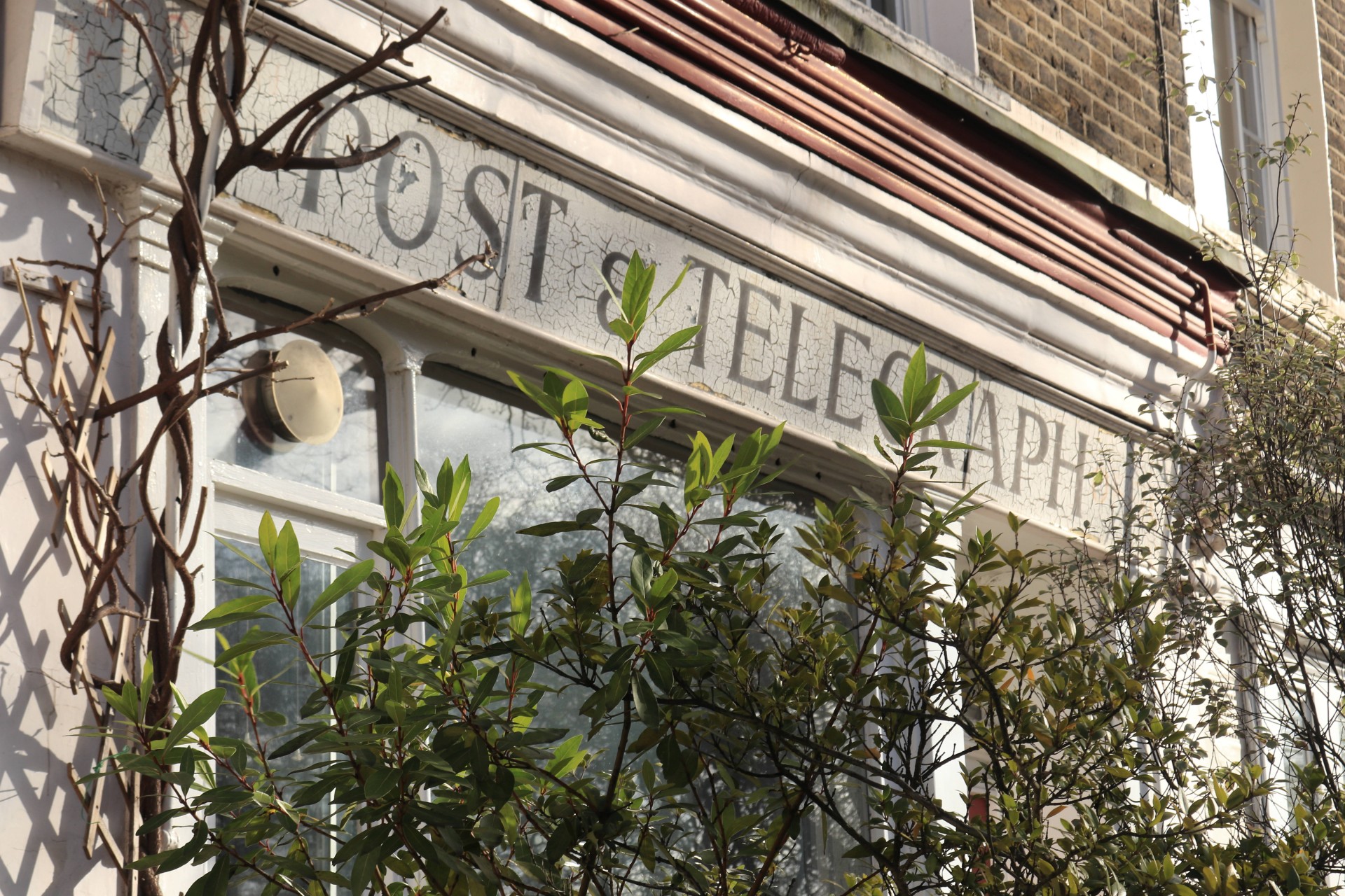
The industrial waste lands to the financial heart of the city, the curse of racial intolerance to the acceptance of many waves of immigrants ,the brutality of villains to the public spirit of the philanthropists, the ravages of war to the restoration of neighbourhoods.
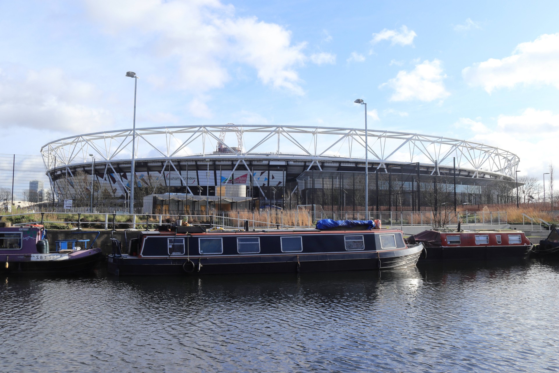
This area has seen it all and today we were able to appreciate so much of its rich history and also witness the amazing ongoing transformation of vast tracks of industrial wilderness as the legacy of the Olympics continues to act as a catalyst for what seems to be a never ending regeneration.
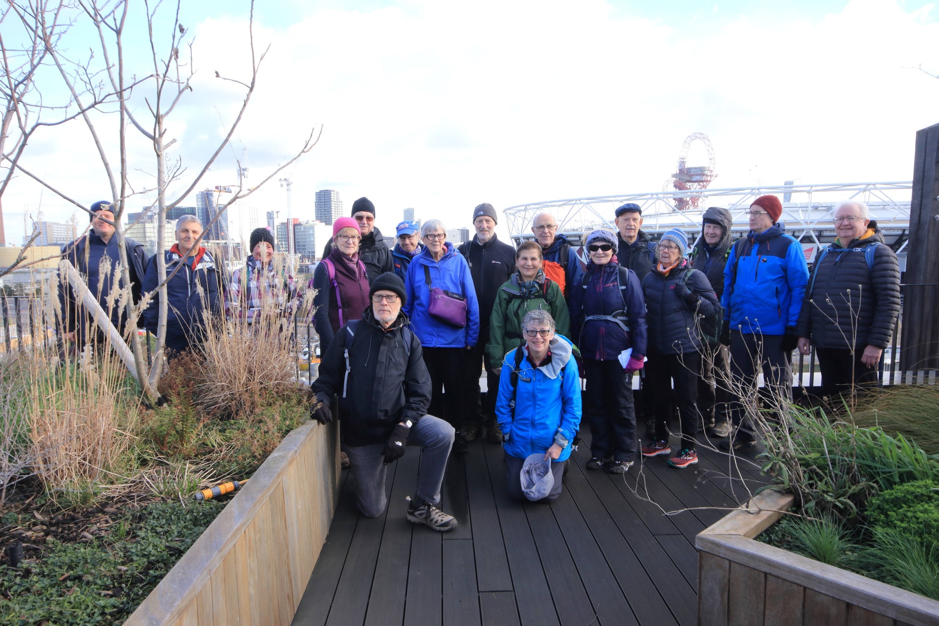
Only 12 miles but a lot to see and thanks to a local resident, who invited us to visit the roof garden of his apartment block, we were also able to enjoy a bird's eye view of a large part of our route.
Photos by Gavin Fuller; more by Gavin and Ian Watson on the group Facebook site.
Other Files
Download Walk ReportGPX
A GPX file of the above route may be downloaded by clicking the link below.
Note: GPX files of Group Walks are created by LDWA Group members, and may be downloaded only by other LDWA members. They should not be made available outside the LDWA, and are used at members' own risk.
Login to Download (Members Only)You can use the interactive controls to zoom in and out and to move around the map, or click on a path or a marker for more info. (interactive map help)
You can use the interactive controls to zoom in and out and to move around the map, or click on a path or a marker for more info. (interactive map help)
© OpenStreetMap contributors under Open Database Licence
Rights of way data from selected Local Authorities
Large scale digital mapping is provided by John Thorn
At high zoom levels the route is indicative only.
Gallery


Maps:
You can use the interactive controls to zoom in and out and to move around the map, or click on a marker for more info. (interactive map help)
© OpenStreetMap contributors under Open Database Licence.
Rights of way data from selected Local Authorities.
Large scale digital mapping is provided by John Thorn.


