


24th Founders Challenge Walk
Sat 10th Oct 2020
Walk Details:
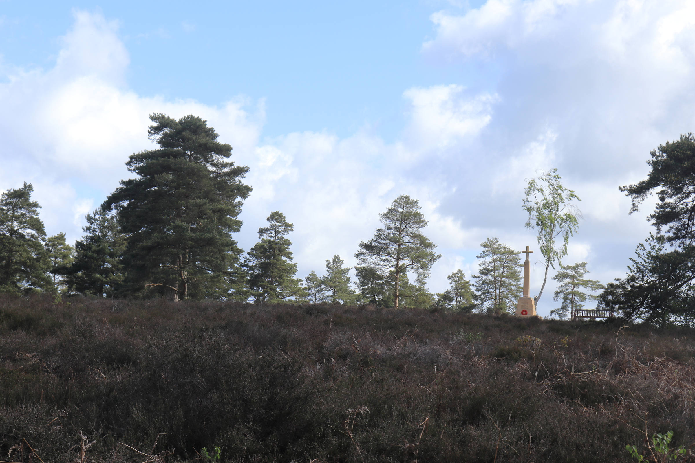
This event provides a unique opportunity to visit places associated with the founders of the LDWA: The Old Post Office in Peaslake where, in 1972, Chris Steer, Alan and Barbara Blatchford first made contact with each other, Tanners Hatch Youth Hostel, which staged the inaugural meeting in 1973, Pitch Hill with its toposcope relating to the LDWA, and Steers Field & Blatchford Down, National Trust locations that honour our founders
Entry Details:
Walk Report
Founders Challenge, Saturday 10th October 2020Cancelled due to Covid-19
Other Files
Download Walk ReportGPX
A GPX file of the above route may be downloaded by clicking the link below.
Note: GPX files of Group Walks are created by LDWA Group members, and may be downloaded only by other LDWA members. They should not be made available outside the LDWA, and are used at members' own risk.
Login to Download (Members Only)You can use the interactive controls to zoom in and out and to move around the map, or click on a path or a marker for more info. (interactive map help)
You can use the interactive controls to zoom in and out and to move around the map, or click on a path or a marker for more info. (interactive map help)
© OpenStreetMap contributors under Open Database Licence
Rights of way data from selected Local Authorities
Large scale digital mapping is provided by John Thorn
At high zoom levels the route is indicative only.
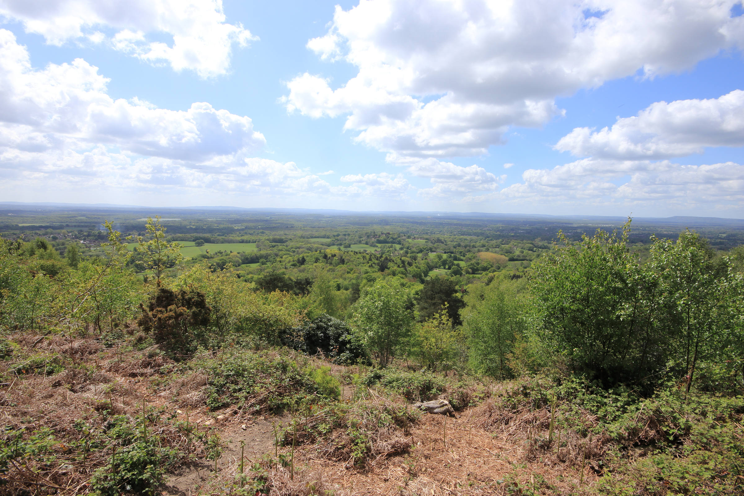
Gallery
Maps:
You can use the interactive controls to zoom in and out and to move around the map, or click on a marker for more info. (interactive map help)
© OpenStreetMap contributors under Open Database Licence.
Rights of way data from selected Local Authorities.
Large scale digital mapping is provided by John Thorn.


