


Sunningdale to Staines
Sat 4th Jan 2020
Walk Details:
This relatively mud-free and flat walk makes an ideal Winter outing. Our morning route will be familiar to those who completed the 2012 London Games 100. It takes us via Virginia Water, Valley Gardens, Windsor Deer Park and the Long Walk down into Windsor for lunch (10 miles). Numerous lunch options here.
In the afternoon we walk along the pretty Thames Path via Runnymede and into Staines where there is an optional tea stop.
Test text added here by Adam Dawson
Entry Details:
Walk Report
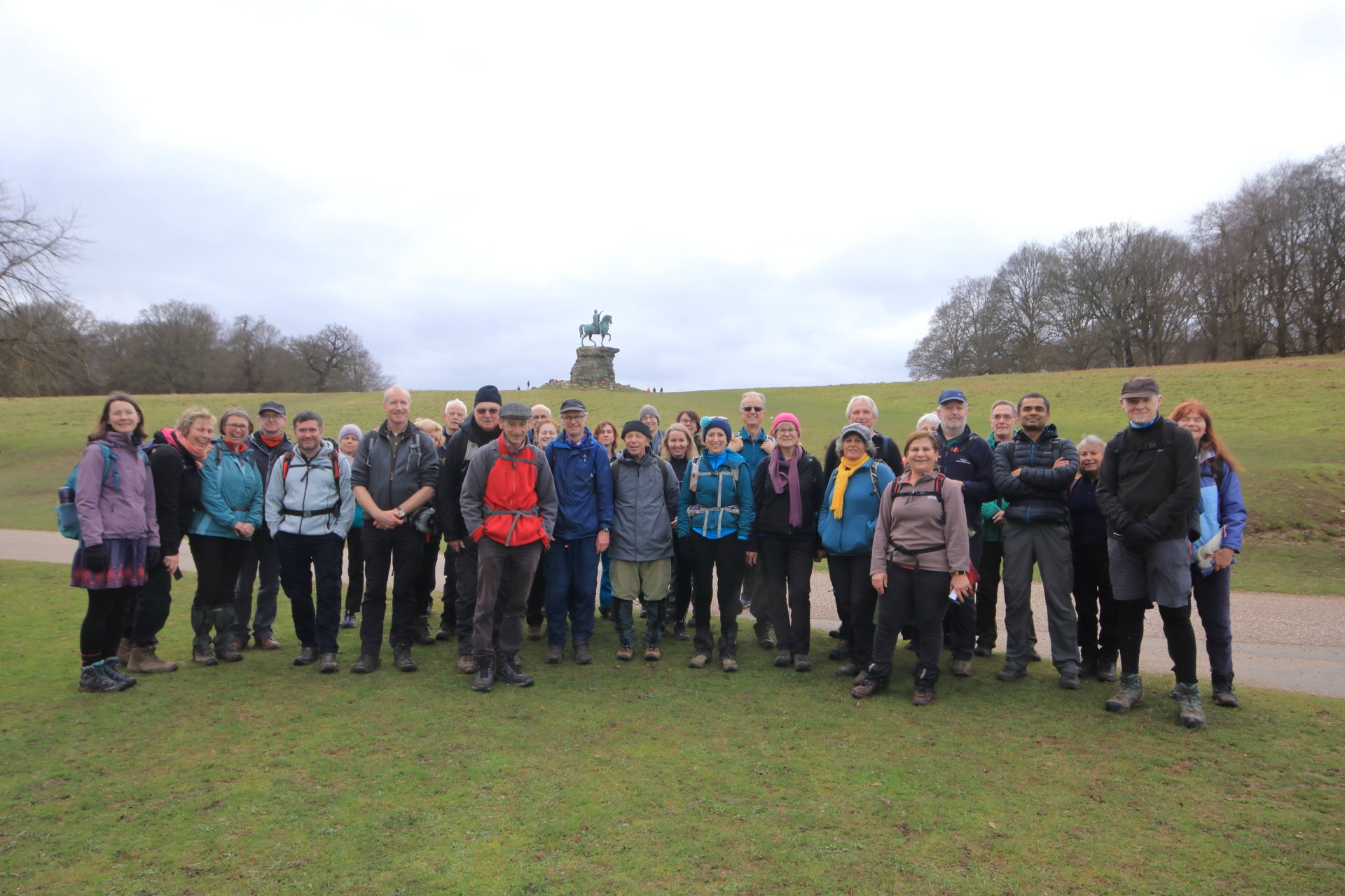
Sunningdale to Staines, Saturday 4th January 202038 walkers, 18.5 miles - leader Kate Copeland
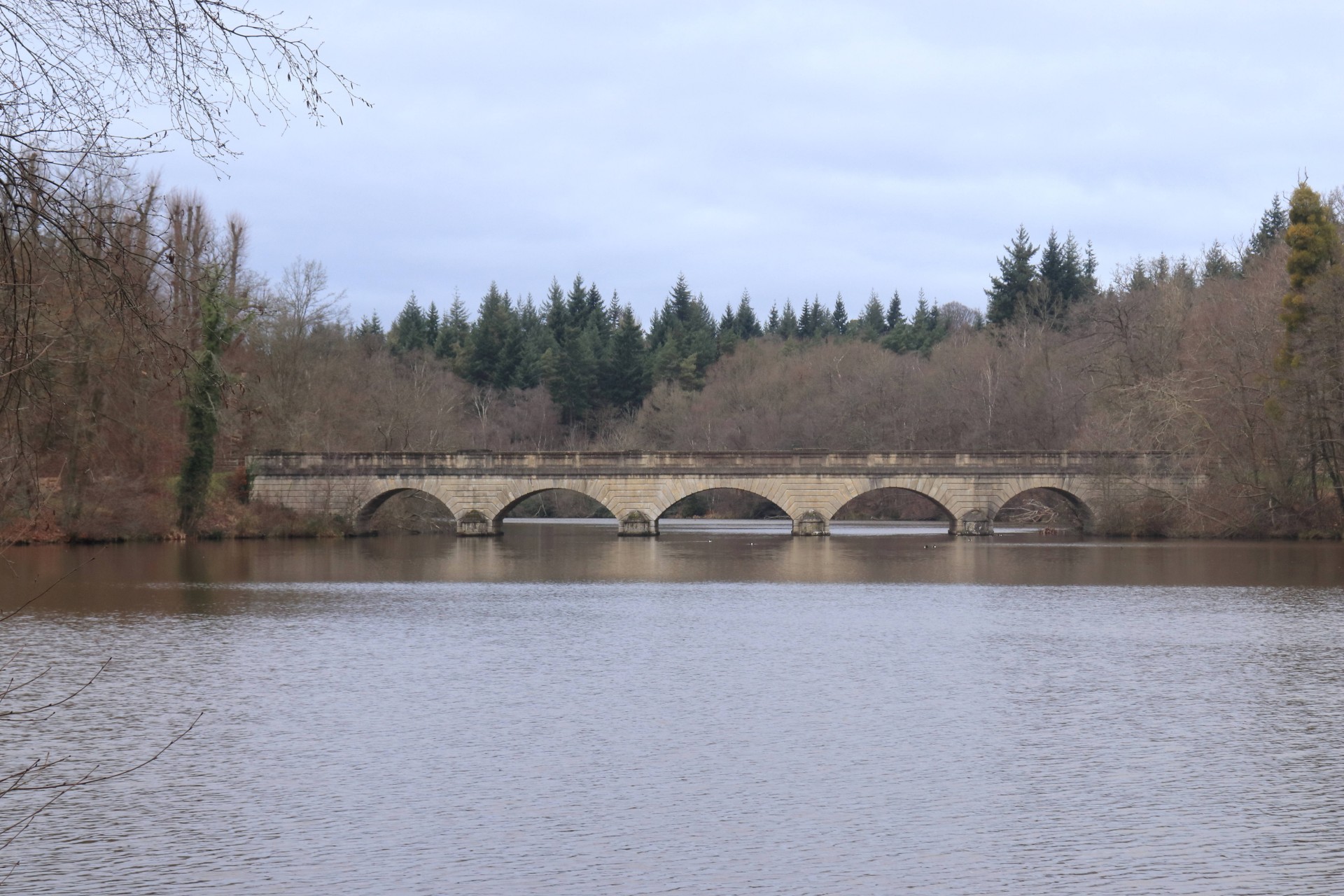
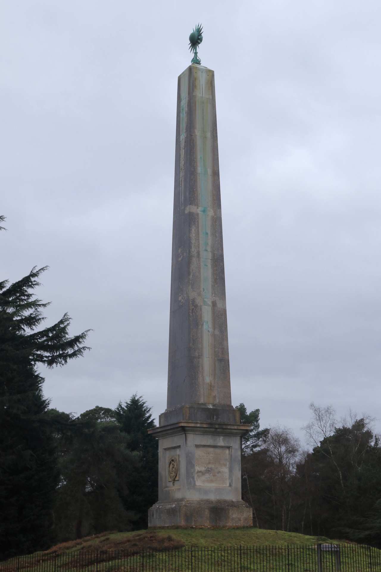
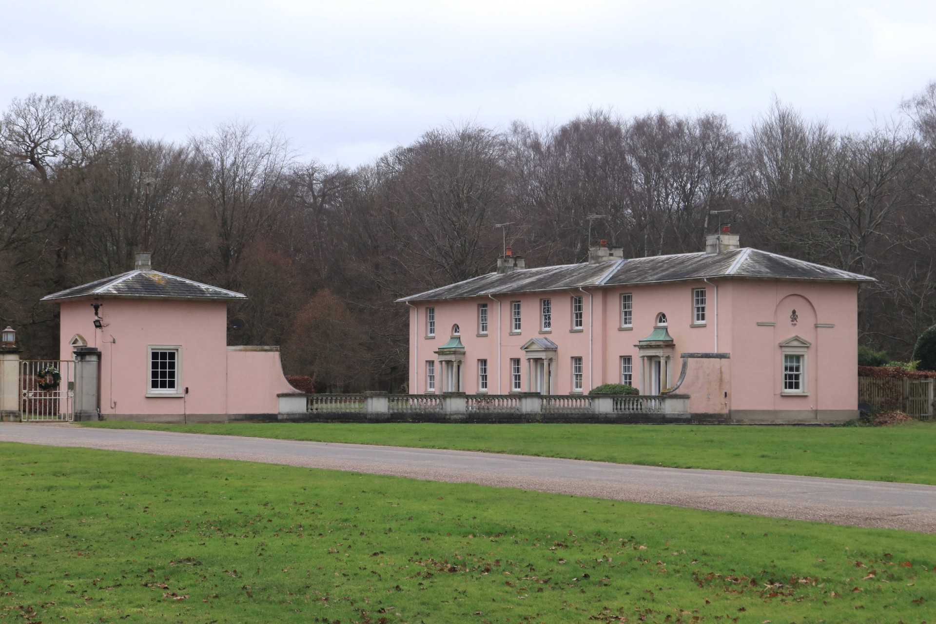
The morning was mostly within the grounds of Windsor Great Park, thus many of the sights to behold were royal in nature - Virginia Water (possibly named after the Virgin Queen), the Queen's Totem Pole, Duke of Cumberland's Obelisk (where we stopped for elevenses and the leader's time-keeping was rightly held to account), the Royal Lodge and then on to the Copper Horse.
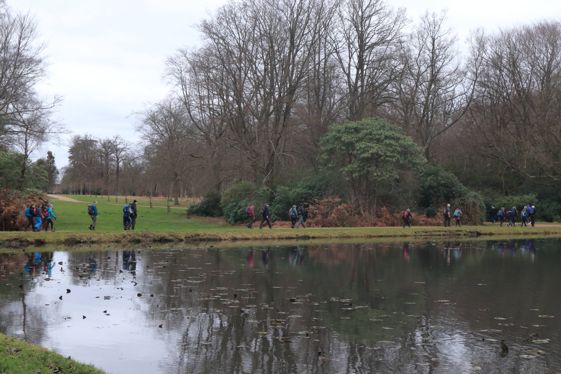
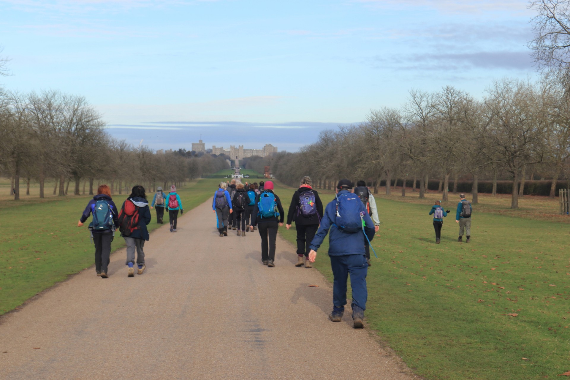
We were disappointed not to see any deer in the deer park, however this was quickly forgotten as we basked in the brilliant sunshine and blue skies that burst out halfway down the Long Walk. There was some discussion about how long the Long Walk is. A quick internet search suggests it is 2.65 miles. The group was clearly ready for lunch as they covered this distance in 35 minutes!
Two of our number left us at Windsor. However, Carol joined us which was a lovely surprise.
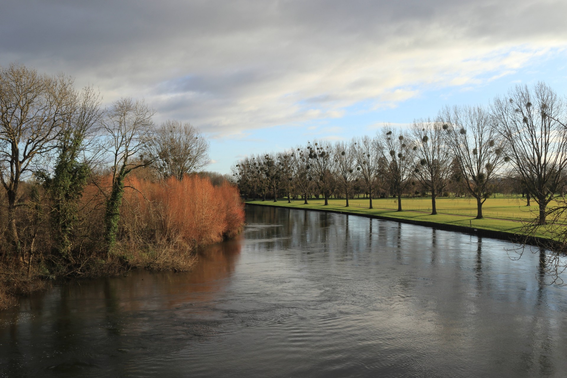
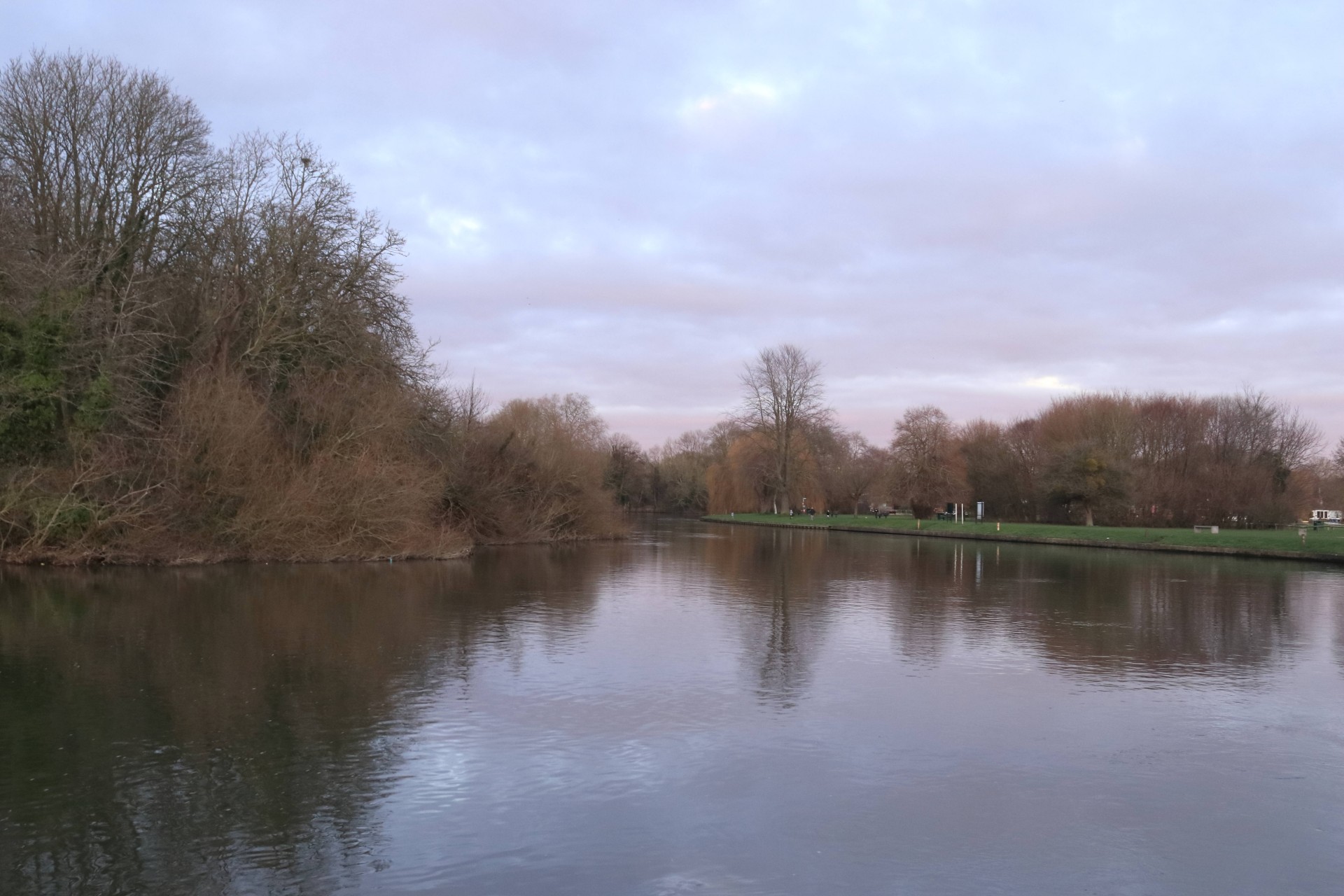
The low, winter sunshine stayed with us until dusk which meant that the Thames between Windsor and Staines was looking its prettiest. The weeping willows were almost fluorescent in the light.
We arrived into Staines at about 4.45pm and deposited several of the team at their second Wetherspoon's of the day. The rest eschewed tea in favour of the train back to London.
Photographs by Gavin Fuller; more by Gavin and Stephen Lannon on the group Facebook site
Other Files
Download Walk ReportGPX
A GPX file of the above route may be downloaded by clicking the link below.
Note: GPX files of Group Walks are created by LDWA Group members, and may be downloaded only by other LDWA members. They should not be made available outside the LDWA, and are used at members' own risk.
Login to Download (Members Only)You can use the interactive controls to zoom in and out and to move around the map, or click on a path or a marker for more info. (interactive map help)
You can use the interactive controls to zoom in and out and to move around the map, or click on a path or a marker for more info. (interactive map help)
© OpenStreetMap contributors under Open Database Licence
Rights of way data from selected Local Authorities
Large scale digital mapping is provided by John Thorn
At high zoom levels the route is indicative only.
Gallery


Maps:
You can use the interactive controls to zoom in and out and to move around the map, or click on a marker for more info. (interactive map help)
© OpenStreetMap contributors under Open Database Licence.
Rights of way data from selected Local Authorities.
Large scale digital mapping is provided by John Thorn.


