


Walden Ways
Sun 15th Mar 2020
Walk Details:
Event Type
Group Walk
Region
Southern England
Local Group
Essex & Herts
Distance
19ml.
Start Time
09.00
Route
Swan Meadow c.p. Park Lane, Saffron Walden, CB10 1DA
Circular
Web Site
Start and Finish
Entry Details:
Cost
Walk Report
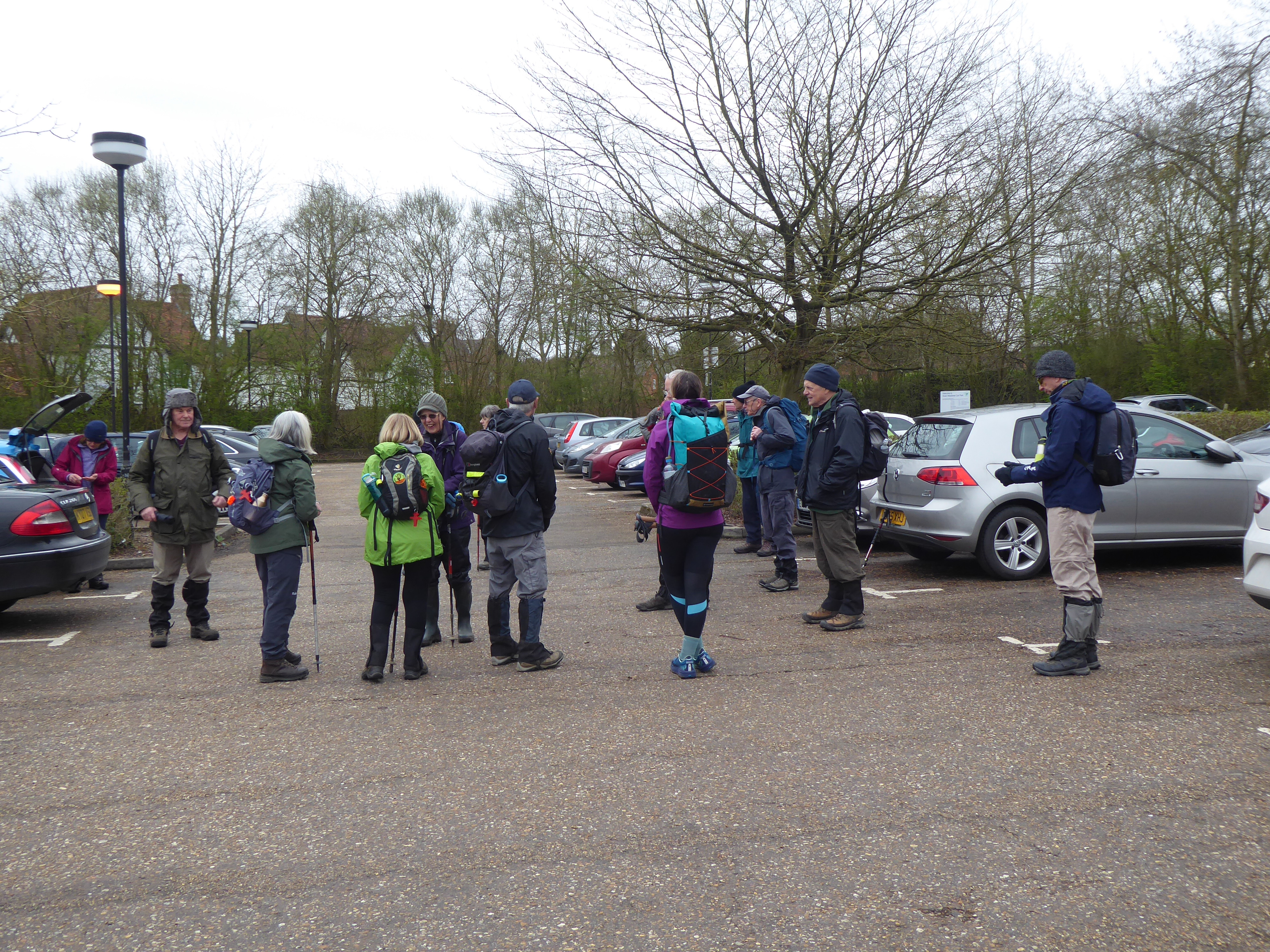
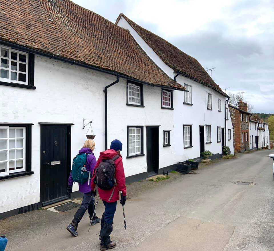
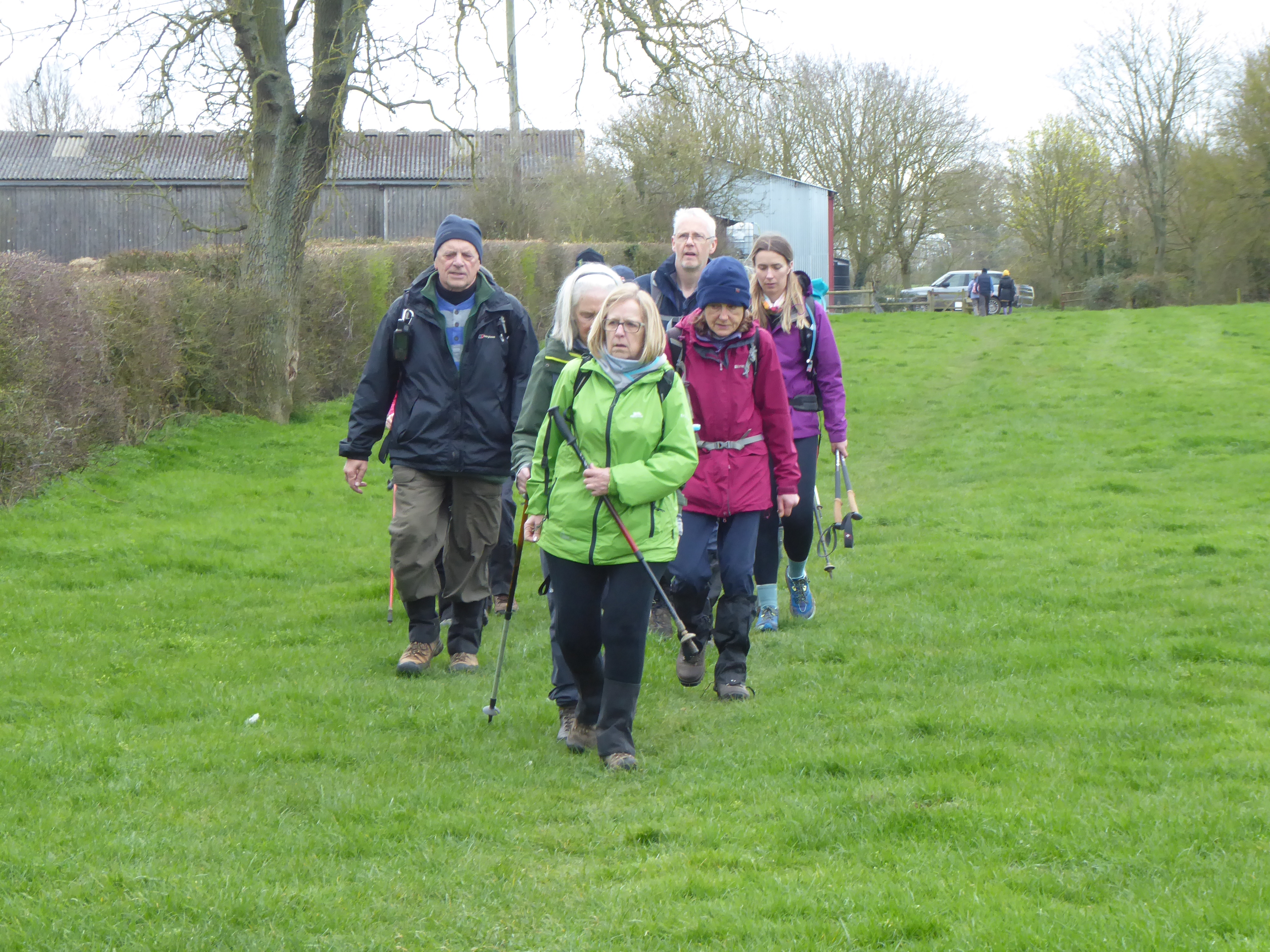
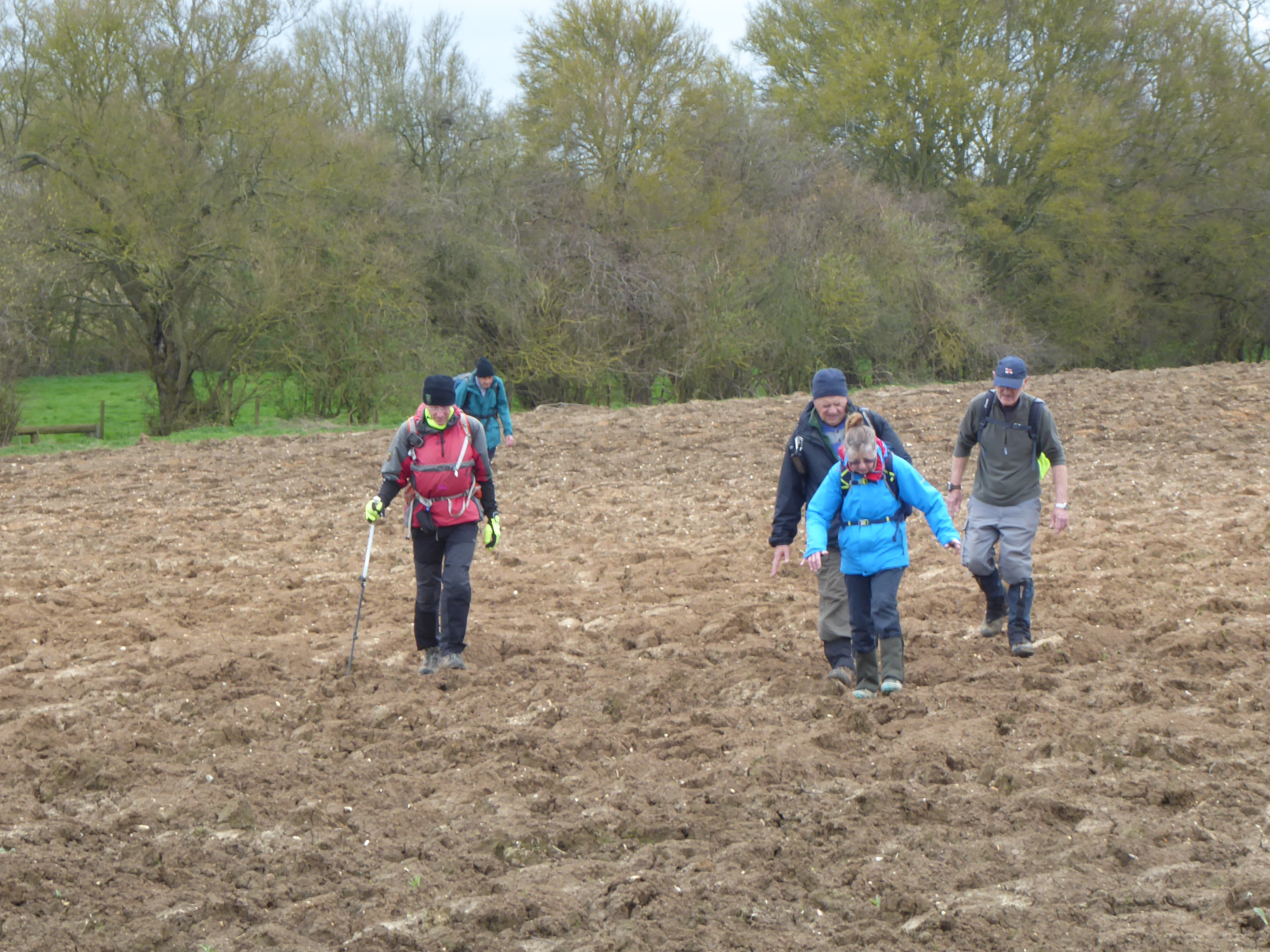
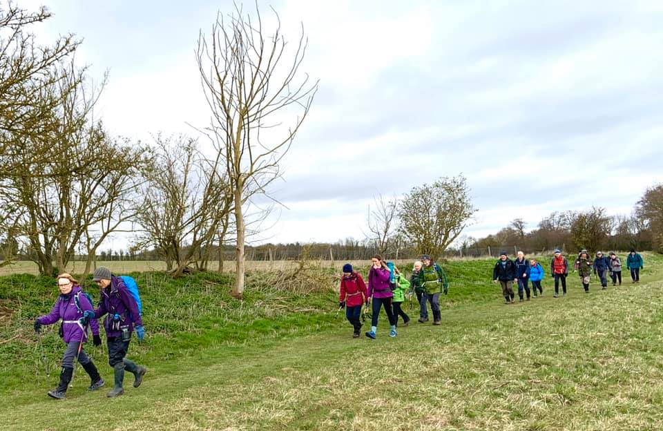
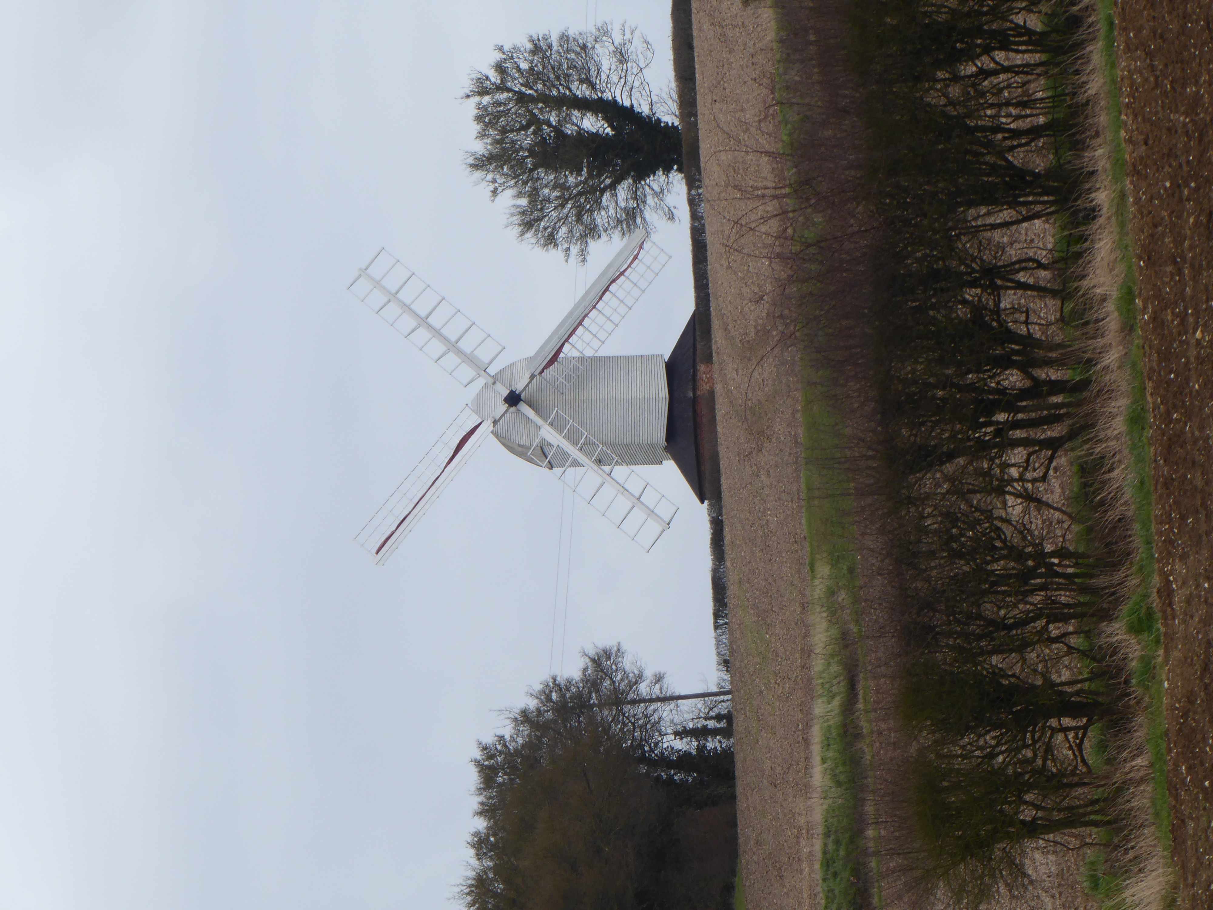
Swan Meadow car park, Park Lane, Saffron Walden, CB10 1DA Landranger 154 TL533 385A circular walk around the undulating countryside of north west Essex. We'll set off through the grounds of Audley End on The Saffron Trail and The Harcamlow Way before following bridleways and country lanes to Sewards End and then on to our lunch stop at Ashdon after 12 miles. The Rose and Crown in Ashdon has a garden but doesn't serve sandwiches or snacks on Sundays. There are lots of benches in the village, and in case of inclement weather, a smallish bus shelter. After lunch we'll head back to Saffron Walden via the windmill at Steventon End, two impressive manor houses (Ashdon Place and Bowsers End) before picking up The Harcamlow Way again for the last few miles.
Last updated September 2020
Other Files
GPX
A GPX file of the above route may be downloaded by clicking the link below.
Note: GPX files of Group Walks are created by LDWA Group members, and may be downloaded only by other LDWA members. They should not be made available outside the LDWA, and are used at members' own risk.
Login to Download (Members Only)You can use the interactive controls to zoom in and out and to move around the map, or click on a path or a marker for more info. (interactive map help)
You can use the interactive controls to zoom in and out and to move around the map, or click on a path or a marker for more info. (interactive map help)
Contains Ordnance Survey data © Crown copyright and database right 2016.
© OpenStreetMap contributors under Open Database Licence
Rights of way data from selected Local Authorities
Large scale digital mapping is provided by John Thorn
At high zoom levels the route is indicative only.
© OpenStreetMap contributors under Open Database Licence
Rights of way data from selected Local Authorities
Large scale digital mapping is provided by John Thorn
At high zoom levels the route is indicative only.
Gallery


Maps:
You can use the interactive controls to zoom in and out and to move around the map, or click on a marker for more info. (interactive map help)
Contains Ordnance Survey data © Crown copyright and database right 2016.
© OpenStreetMap contributors under Open Database Licence.
Rights of way data from selected Local Authorities.
Large scale digital mapping is provided by John Thorn.
© OpenStreetMap contributors under Open Database Licence.
Rights of way data from selected Local Authorities.
Large scale digital mapping is provided by John Thorn.


