


Around Ashdown
Sat 22nd Aug 2020
Walk Details:
A circular walk passing Weir Wood Reservoir before passing crossing Ashdown Forest to the AA Milne Memorial and then back to East Grinstead
Entry Details:
Walk Report
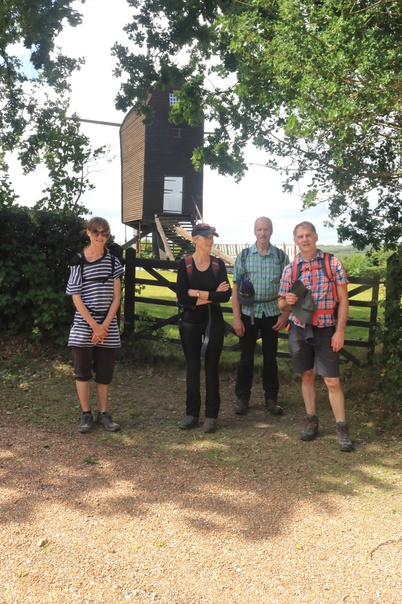
Around Ashdown, Saturday 22nd August 20206 walkers, 25 miles - leader Gavin Fuller
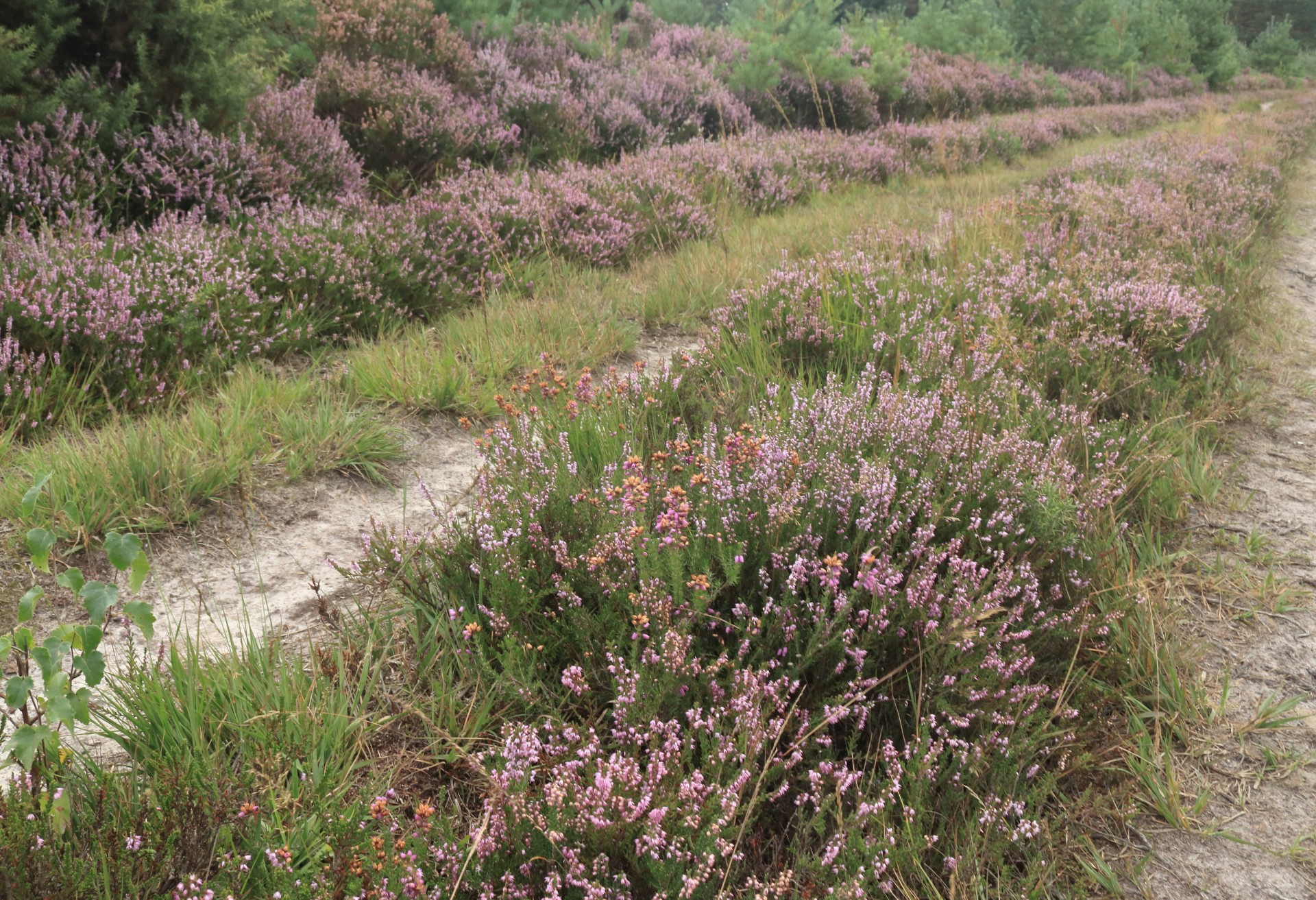
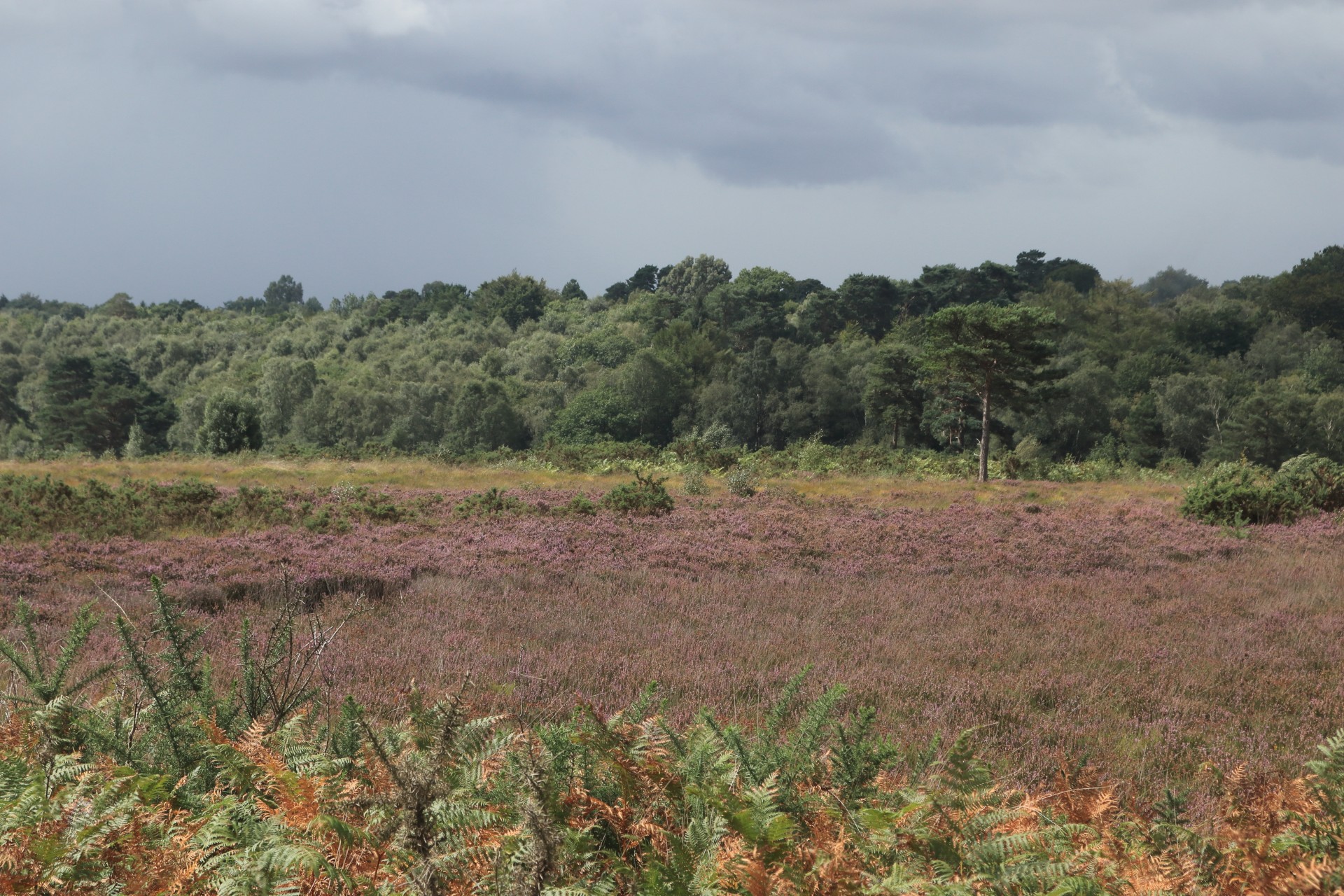
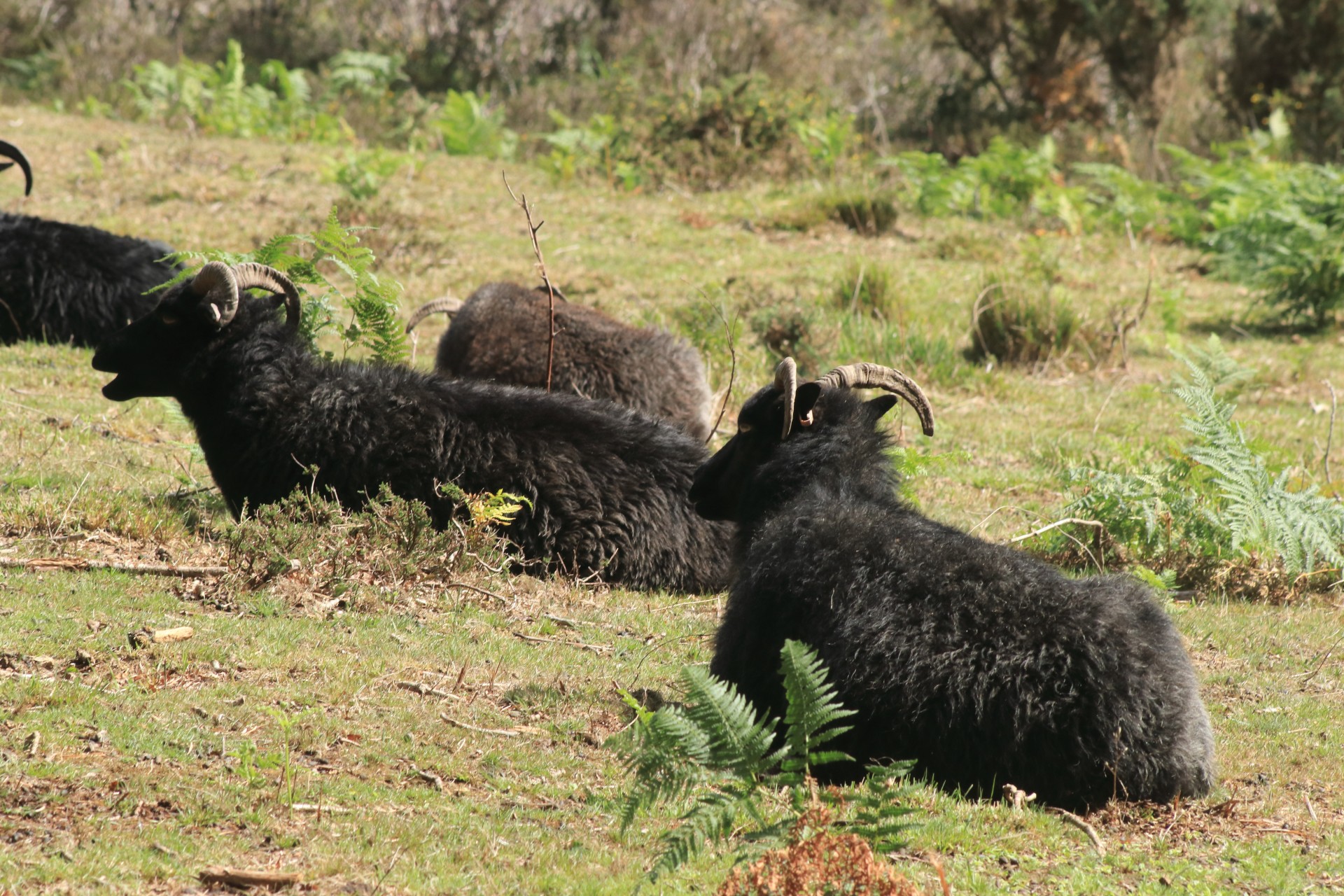
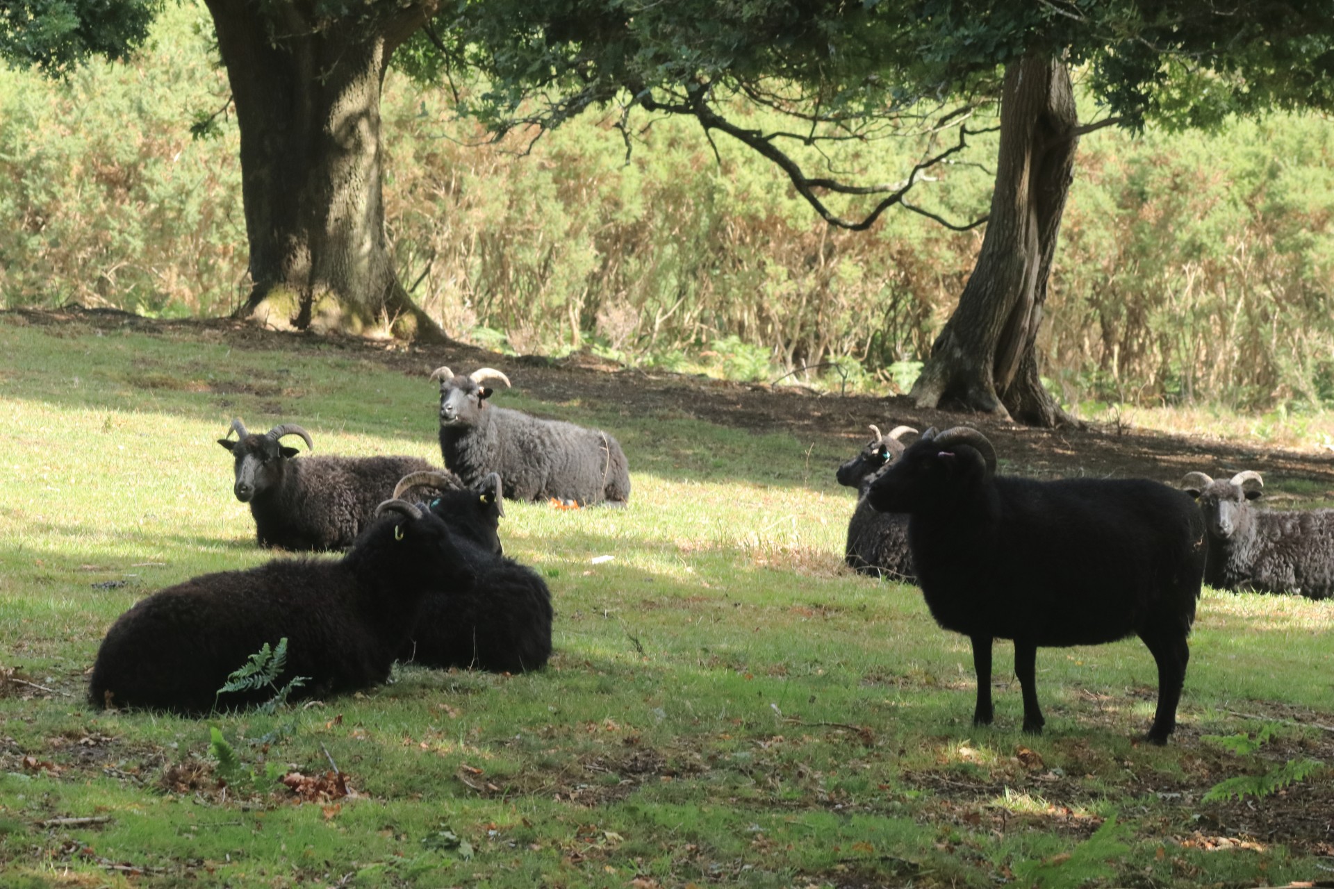
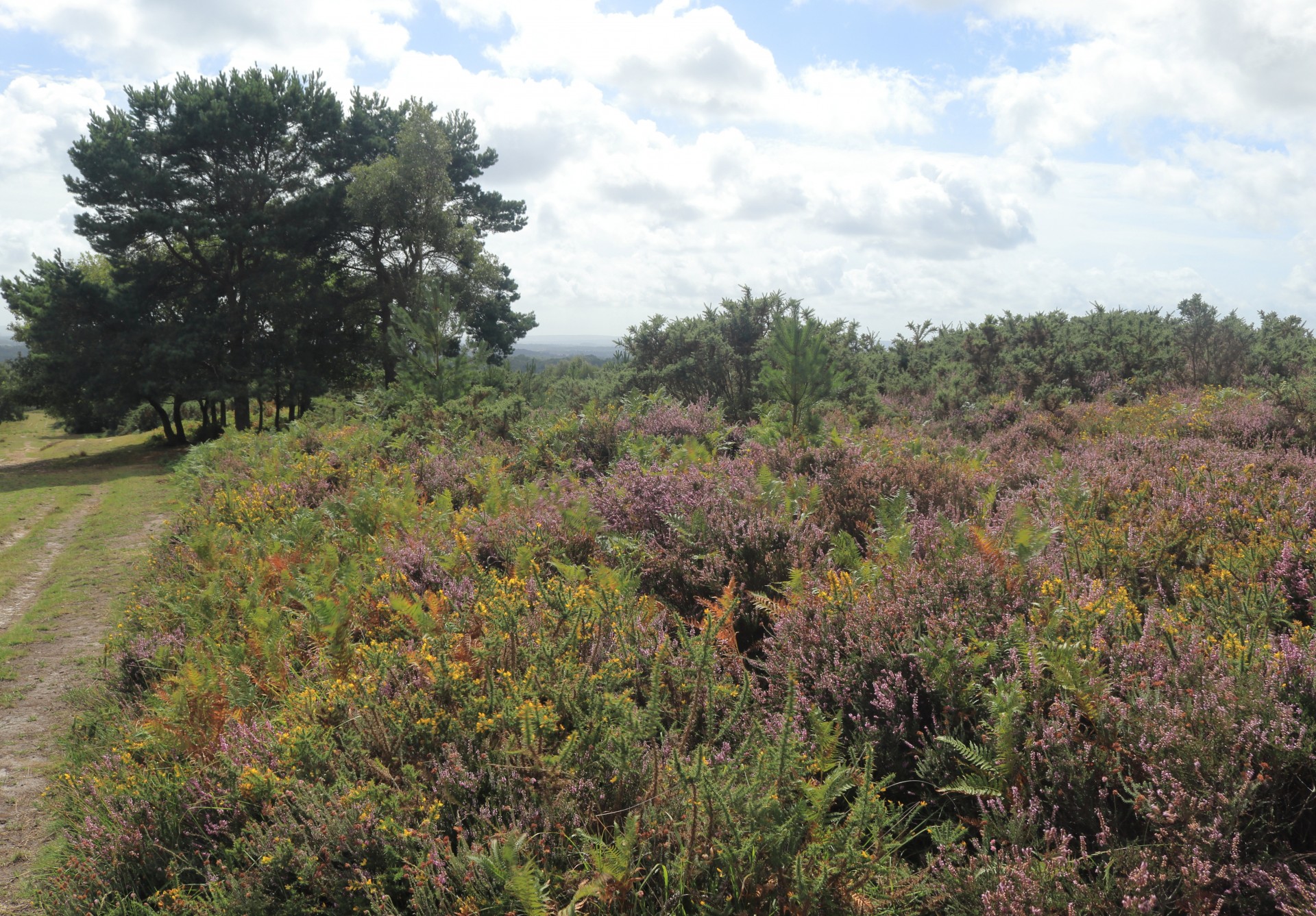
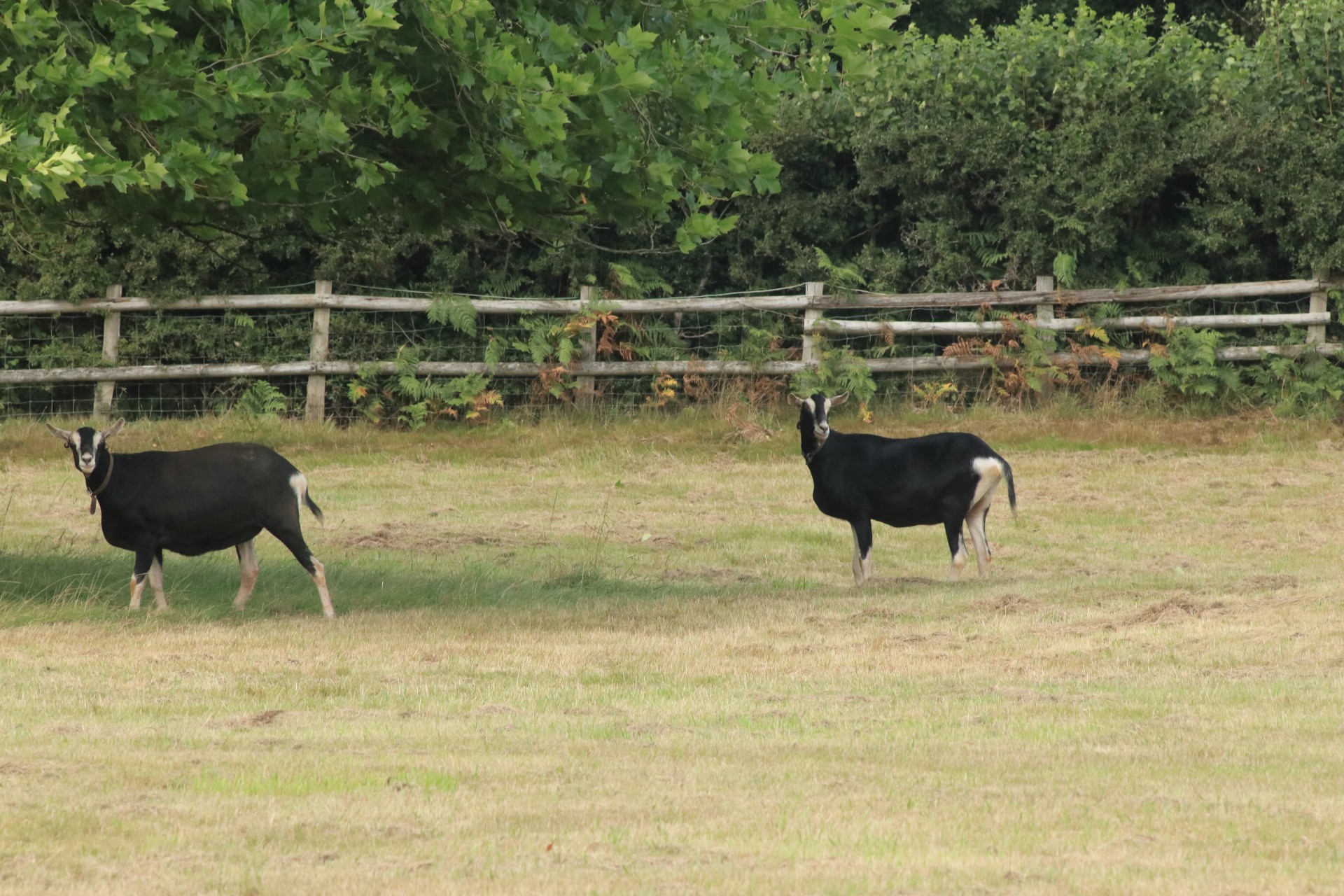
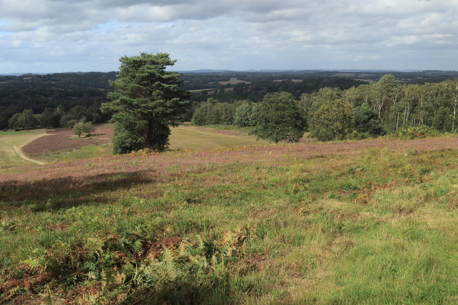
Whilst most previous walks in this area seemed to traverse the medieval hunting ground of Ashdown Forest, this took the different approach of a circuit loosely around or near to the edges of the area, and take in some less-trodden parts as well. The outer reaches of Storm Ellen thankfully had little impact on a generally fine day, with the forest at its heathery finest. Plenty of livestock to see en route, including flocks of black sheep, cows, one of which took quite an interest in one member's lunch, and goats. Other sights took in a bridge in a vachery, a windmill and a memorial to author A. A. Milne who the leader could boast a distant family connection to. Two of the party sloped off at Forest Row to get a bus (although a drink first appeared to be a priority) while the rest charged back on the Forest Way to ensure the whole day went at an average of over 3 miles an hour; not bad considering there was nearly 2,000ft of ascent!
Photographs by Gavin Fuller
Other Files
Download Walk ReportGPX
A GPX file of the above route may be downloaded by clicking the link below.
Note: GPX files of Group Walks are created by LDWA Group members, and may be downloaded only by other LDWA members. They should not be made available outside the LDWA, and are used at members' own risk.
Login to Download (Members Only)You can use the interactive controls to zoom in and out and to move around the map, or click on a path or a marker for more info. (interactive map help)
You can use the interactive controls to zoom in and out and to move around the map, or click on a path or a marker for more info. (interactive map help)
© OpenStreetMap contributors under Open Database Licence
Rights of way data from selected Local Authorities
Large scale digital mapping is provided by John Thorn
At high zoom levels the route is indicative only.
Gallery


Maps:
You can use the interactive controls to zoom in and out and to move around the map, or click on a marker for more info. (interactive map help)
© OpenStreetMap contributors under Open Database Licence.
Rights of way data from selected Local Authorities.
Large scale digital mapping is provided by John Thorn.


