


Downland Dodder
Sun 4th Jun 2023
Walk Details:
Heading south over Fathing Down, then via Netherne to the North Downs. Around those to Gangers Hill, then via Marden Park, Woldingham, Sanderstead and Riddlesdown to Purley
Entry Details:
Walk Report
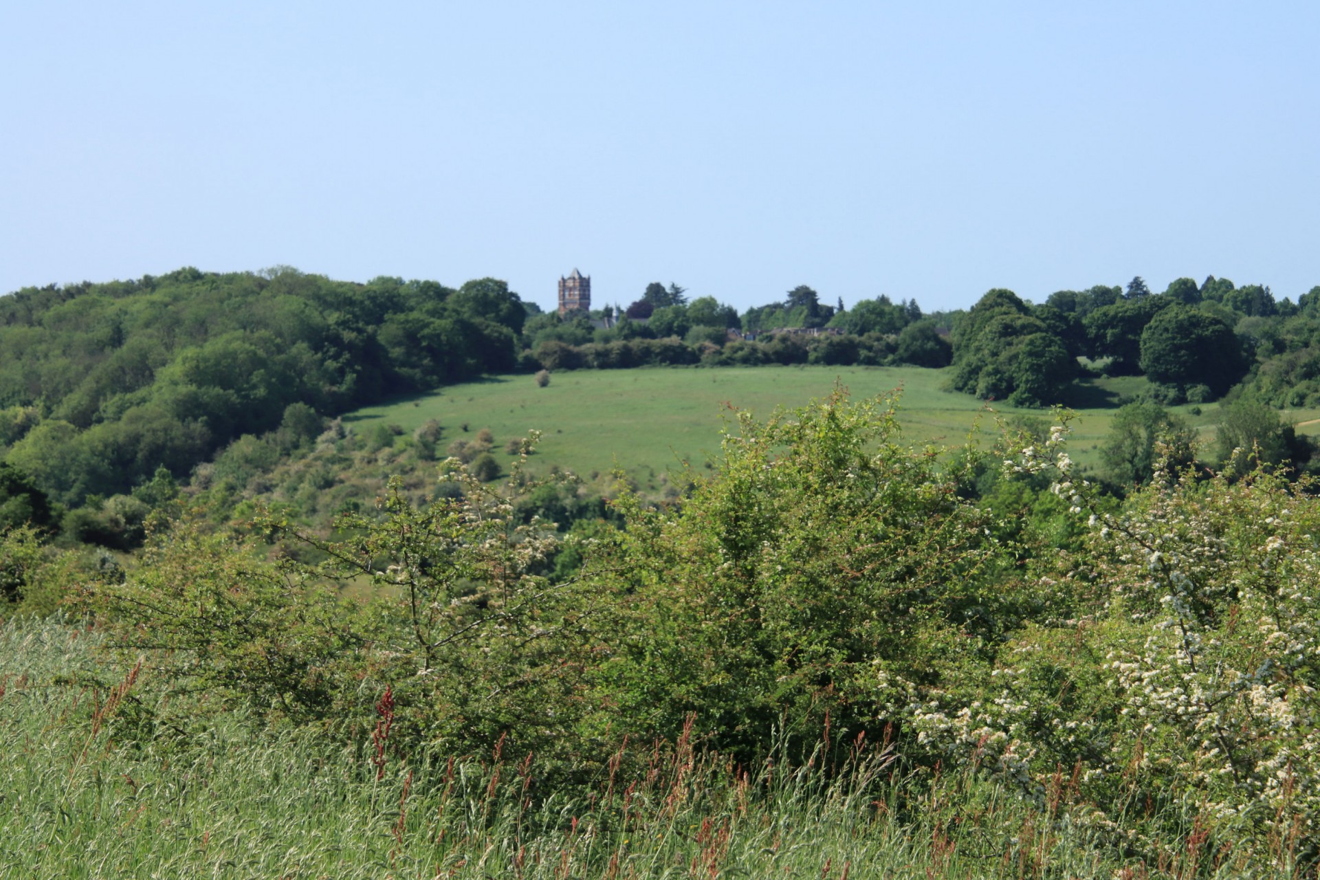
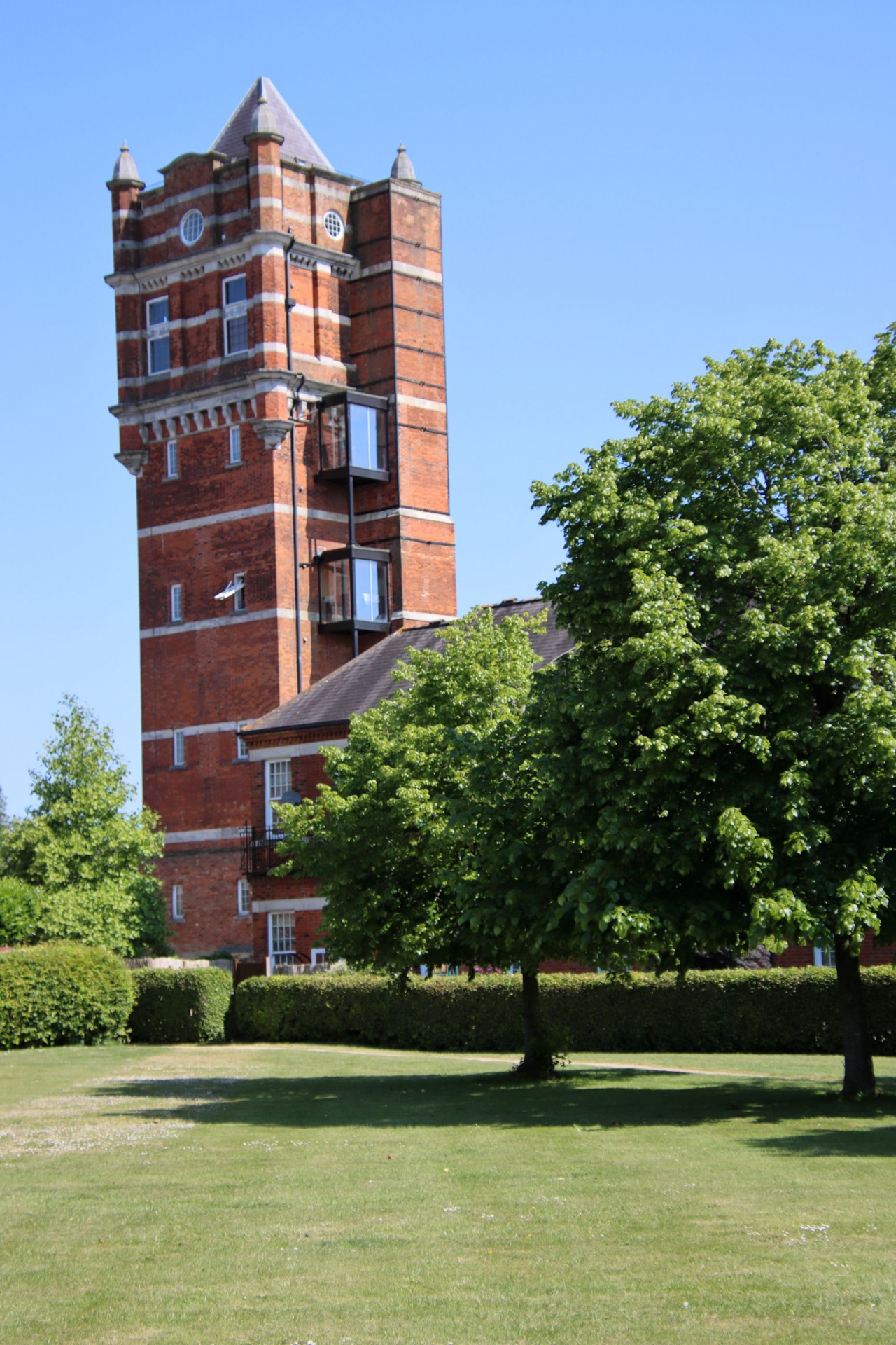
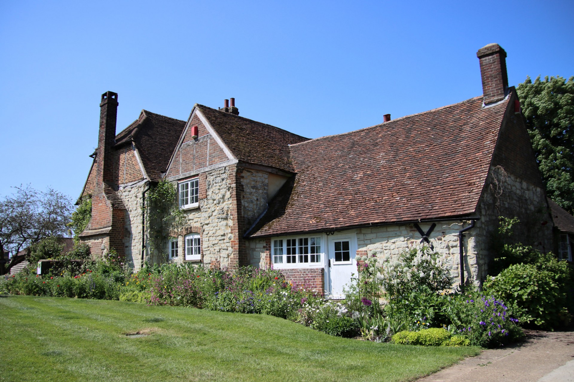
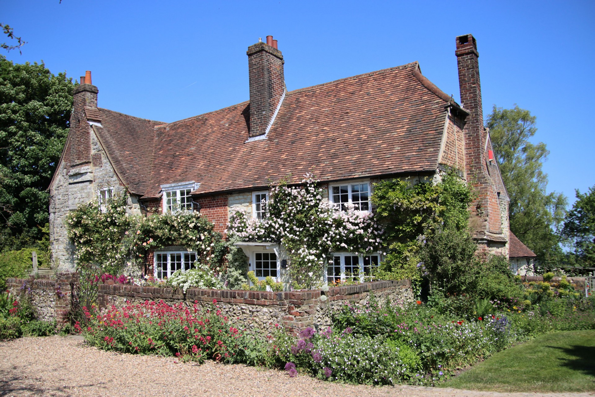
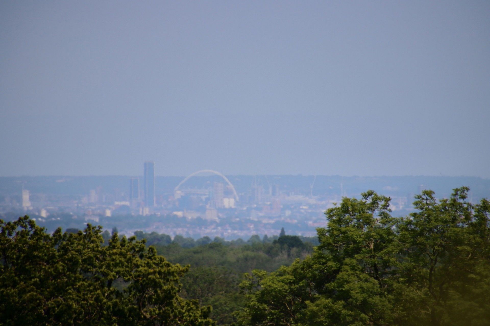
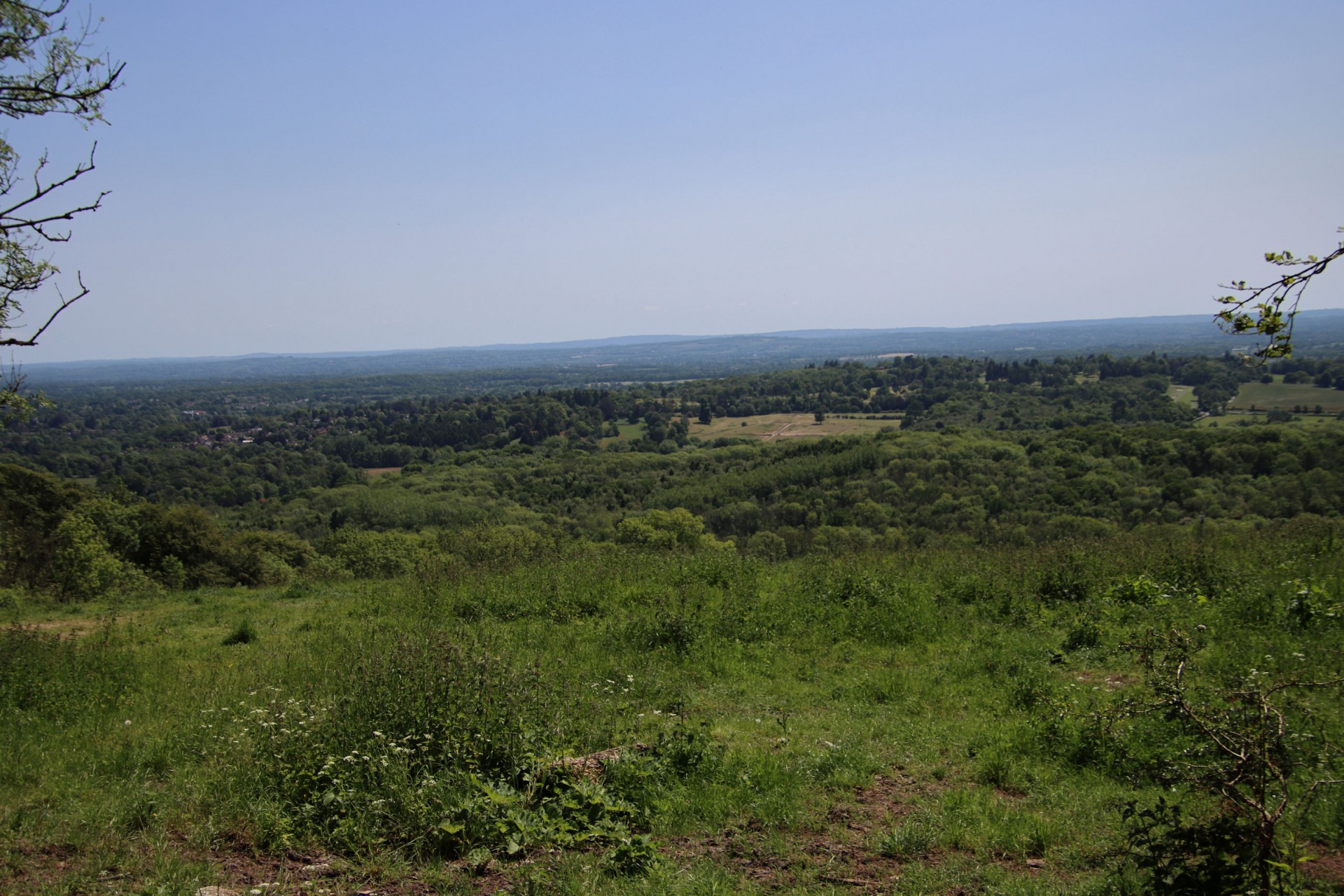
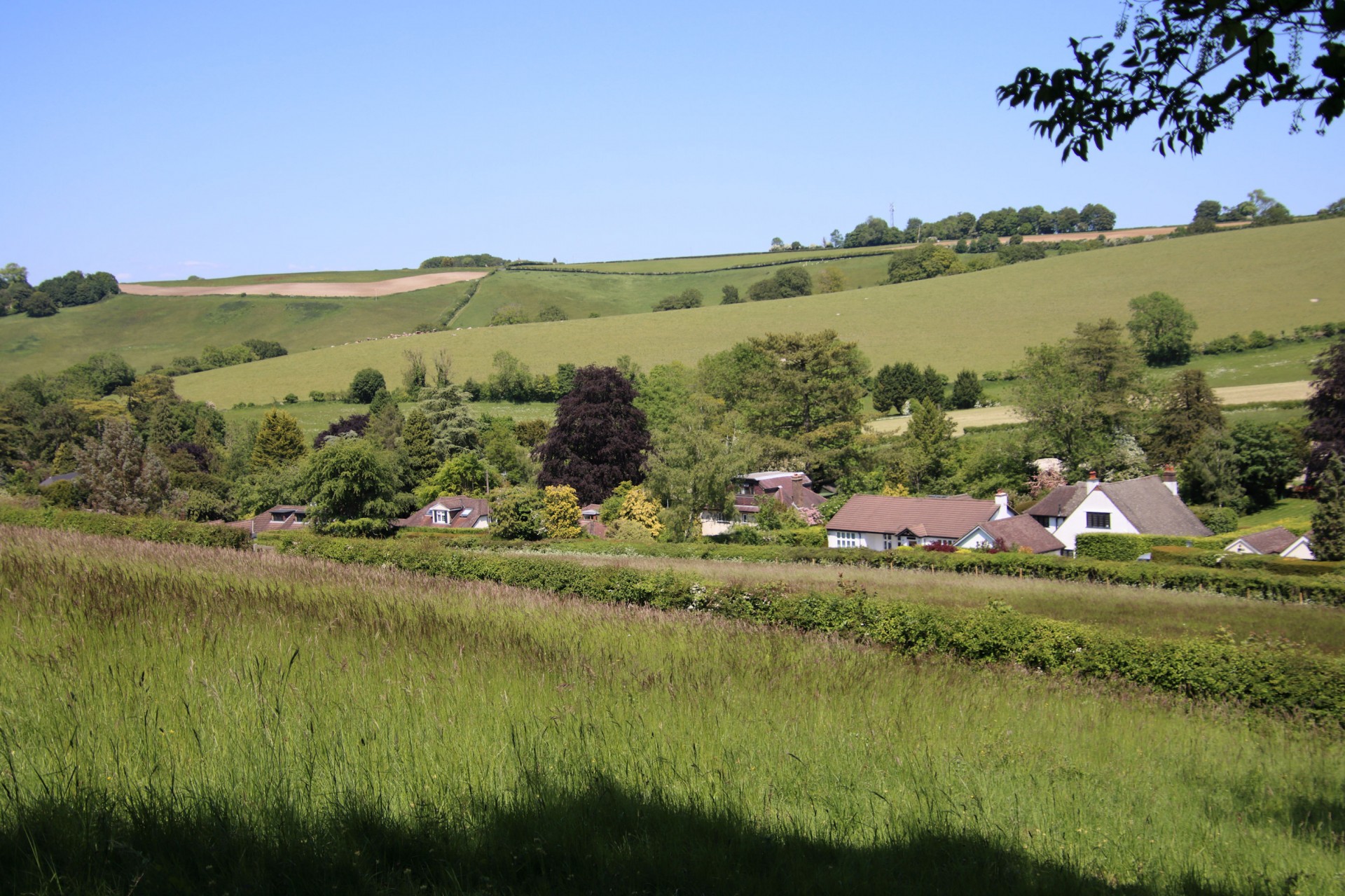
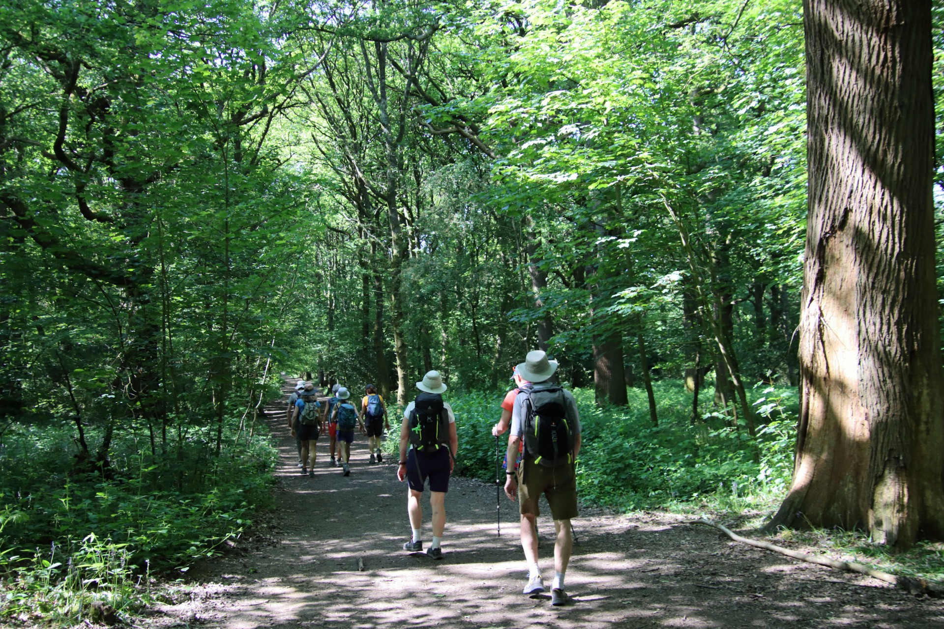
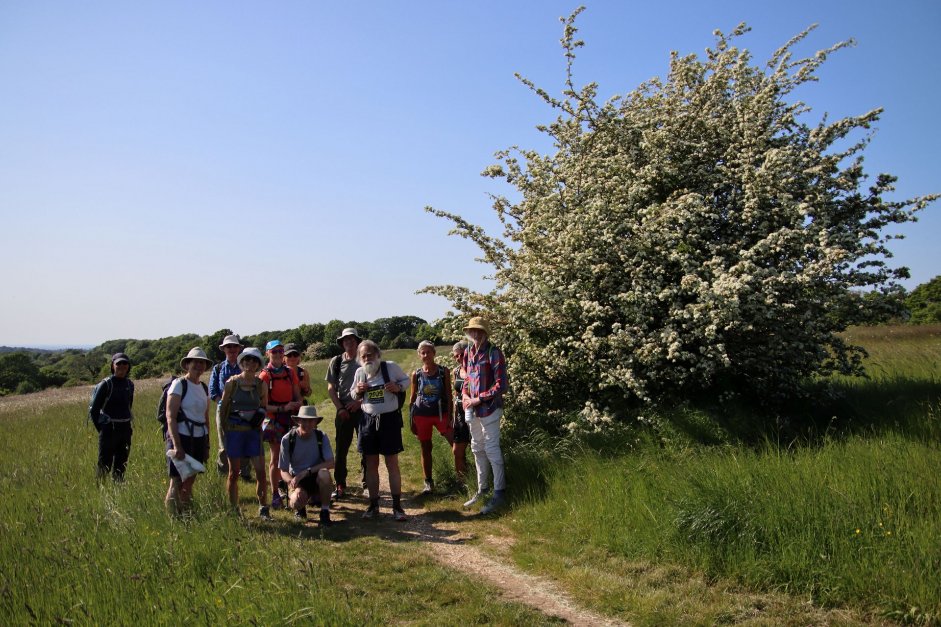
14 walkers, 20.5 miles - leader Gavin FullerHaving only put on the walk several days earlier in fill to a gap in the schedule leader Gavin was gratified to see 13 people join him at a sun-drenched Coulsdon South station for a meander over the Surrey downlands inside the M25. Starting off with Farthing Down, the walk then headed over to the village of Netherne-on-the-Hill, where an early-morning cricket match was in progress. Heading past the chocolate-box Tollsworth Manor, which dates back to 1360, it was on to the North Downs and across to White Hill, with its far-reaching views over London.
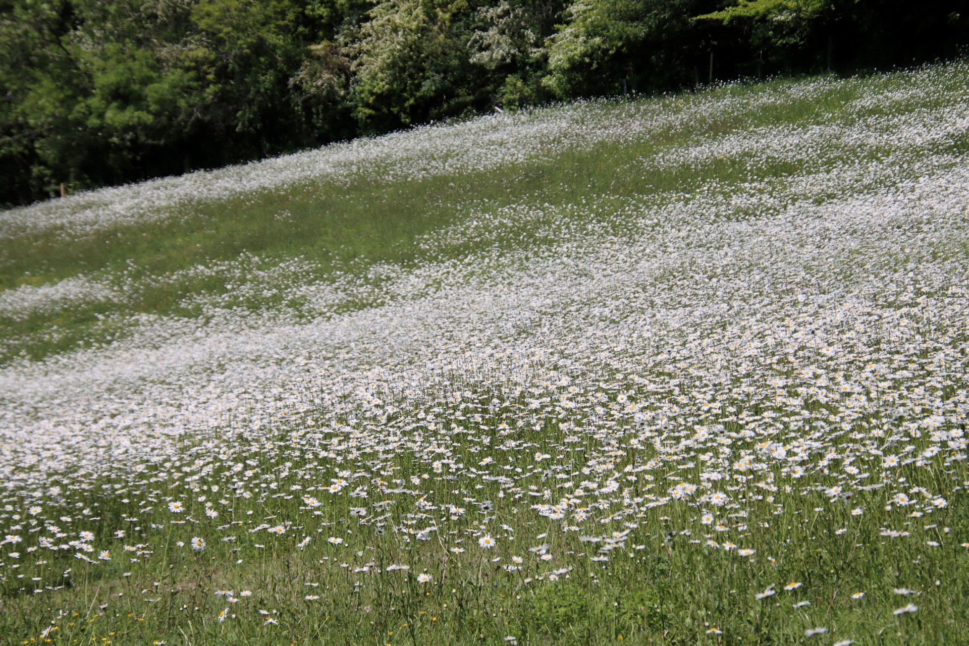
The descent off the hill was in a much poorer state of repair than the last time the leader had used the path, but all negotiated its challenges successfully. The route back up to Gravelly Hill passed a field white with daisies, and at the top an early lunch was taken, enlivened by meeting another member of London Group walking part of the North Downs Way that day with her husband.
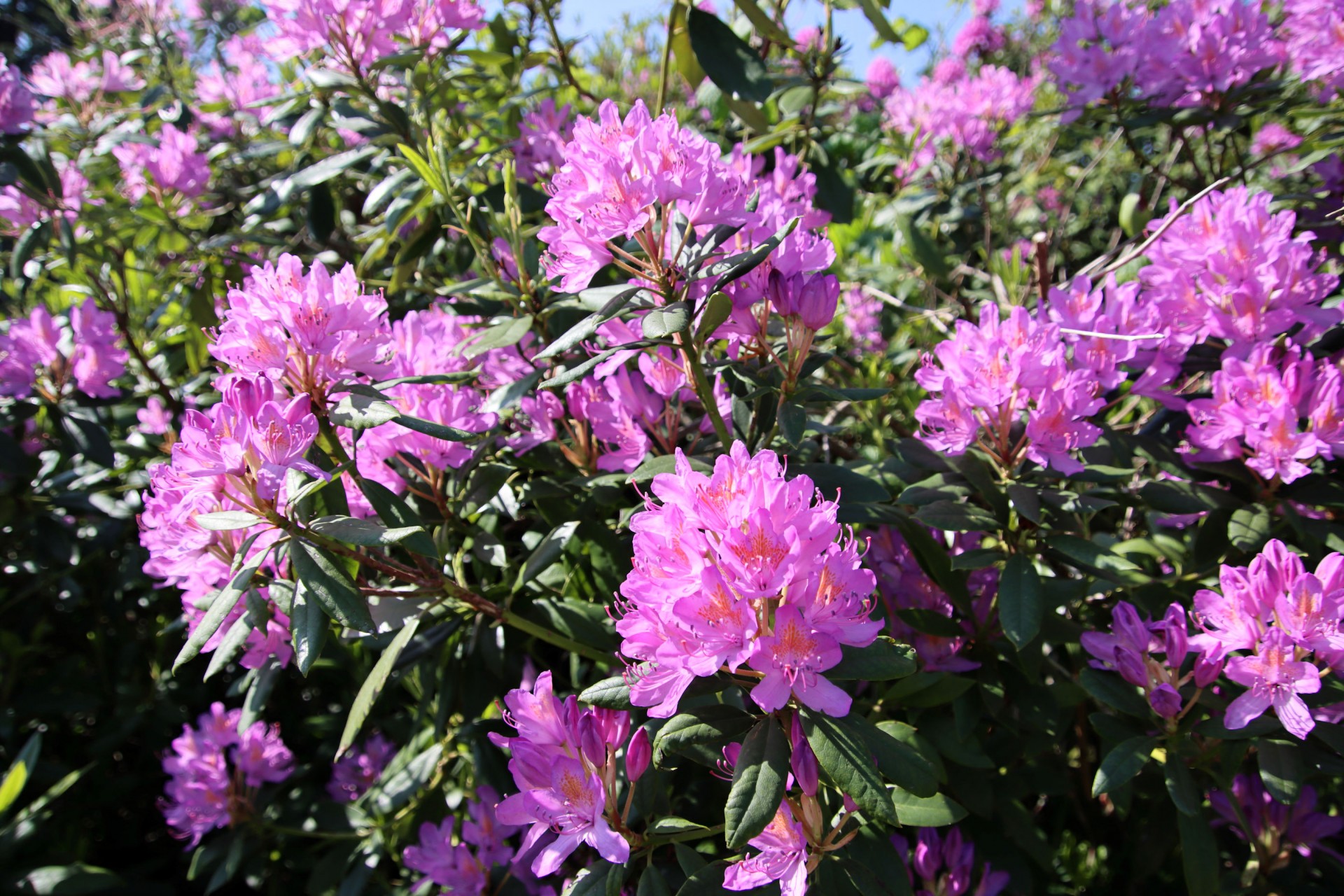
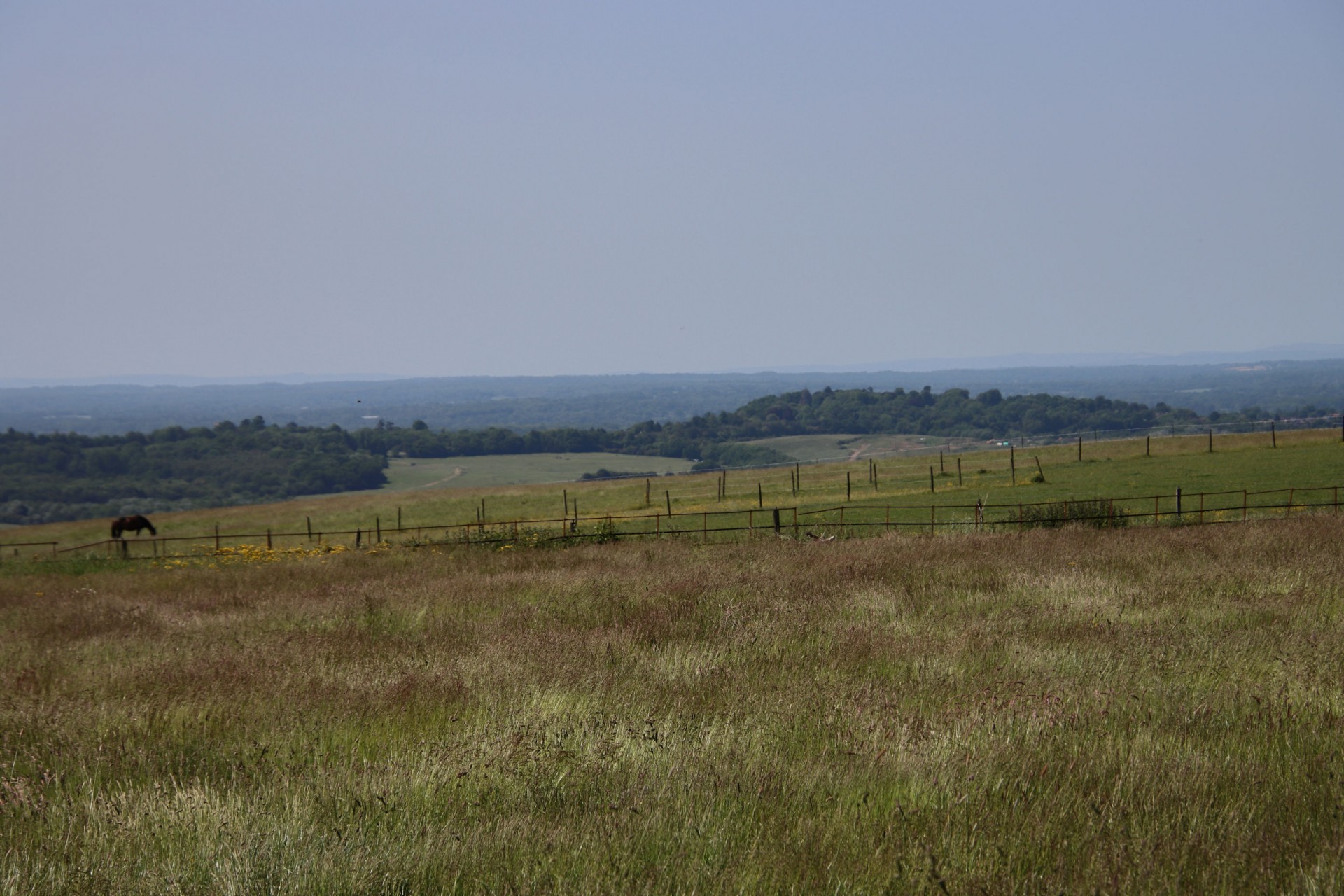
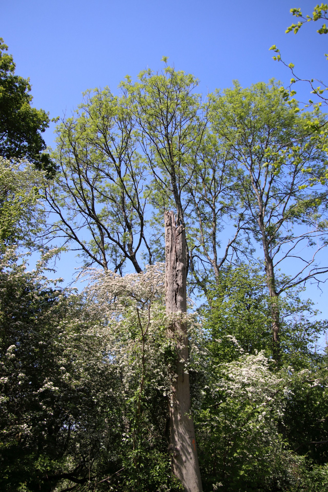
The NDW was followed by the group after lunch as far as Gangers Hill, where the route turned off into Marden Wood before passing past the decidedly expensive properties of Woldingham. Onwards to Chelsham Common, where there hot, sunny weather, although mitigated throughout by a number of wooded parts, made the Bull a desired port of call for most of the group. Suitably refreshed, it was on through Kings Wood to the plant-swathed grasslands of Sanderstead Open, before a traverse of the length of Riddlesdown and a descent into Purley passing Peter Cushing's former residence as a final point of interest.
Photographs by Gavin Fuller
Other Files
Download Walk ReportGPX
A GPX file of the above route may be downloaded by clicking the link below.
Note: GPX files of Group Walks are created by LDWA Group members, and may be downloaded only by other LDWA members. They should not be made available outside the LDWA, and are used at members' own risk.
Login to Download (Members Only)You can use the interactive controls to zoom in and out and to move around the map, or click on a path or a marker for more info. (interactive map help)
You can use the interactive controls to zoom in and out and to move around the map, or click on a path or a marker for more info. (interactive map help)
© OpenStreetMap contributors under Open Database Licence
Rights of way data from selected Local Authorities
Large scale digital mapping is provided by John Thorn
At high zoom levels the route is indicative only.
Gallery
Maps:
You can use the interactive controls to zoom in and out and to move around the map, or click on a marker for more info. (interactive map help)
© OpenStreetMap contributors under Open Database Licence.
Rights of way data from selected Local Authorities.
Large scale digital mapping is provided by John Thorn.


