


A Sussex and Surrey Semi-circle
Sat 22nd Feb 2020
Walk Details:
The route explores the variable footpaths between the M23, A22 and M25 before crossing the North Downs and winding its way past Caterham to Coulsdon South Station
Entry Details:
Walk Report
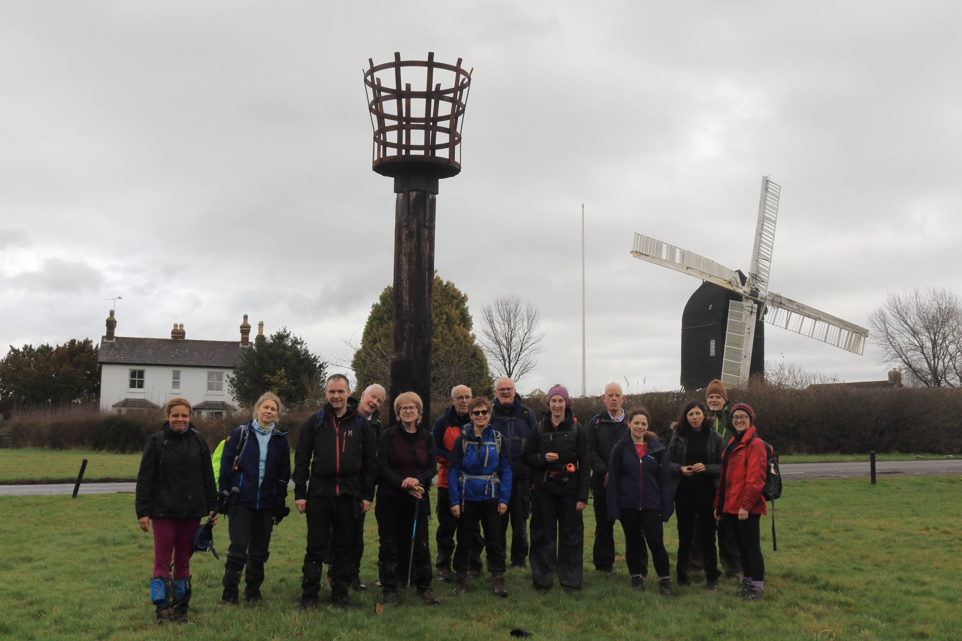
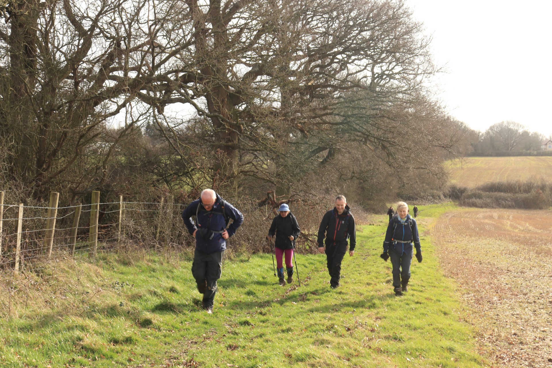
A Sussex and Surrey Semi-circle, Saturday 22nd February 202015 walkers, 18.8 miles, 1.156ft of ascent - leader Gavin Fuller. Mud rating 10/10
15 walkers convened at Horley for a walk which had needed to have a rejigged opening few miles due to a landslip taking out trains to the original starting point. The noise of Gatwick accompanied the opening section, which then joined a Sussex Border Path in need of some serious maintenance, with flooded and mudded sections making going interesting to say the least. A wet autumn and winter resulted in further mudbaths in the morning, although once the afternoon session got going after some slow café service the mud quotient thankfully diminished. The group survived the hillier rigours of the North Downs and rolling countryside around Caterham and Coulsdon to arrive at the station just in time for the next train, and only 20 minutes later than hoped for.
Photographs by Gavin Fuller; more by Gavin and Ian Watson on the group Facebook site.
Other Files
Download Walk ReportGPX
A GPX file of the above route may be downloaded by clicking the link below.
Note: GPX files of Group Walks are created by LDWA Group members, and may be downloaded only by other LDWA members. They should not be made available outside the LDWA, and are used at members' own risk.
Login to Download (Members Only)You can use the interactive controls to zoom in and out and to move around the map, or click on a path or a marker for more info. (interactive map help)
You can use the interactive controls to zoom in and out and to move around the map, or click on a path or a marker for more info. (interactive map help)
© OpenStreetMap contributors under Open Database Licence
Rights of way data from selected Local Authorities
Large scale digital mapping is provided by John Thorn
At high zoom levels the route is indicative only.
Gallery

Maps:
You can use the interactive controls to zoom in and out and to move around the map, or click on a marker for more info. (interactive map help)
© OpenStreetMap contributors under Open Database Licence.
Rights of way data from selected Local Authorities.
Large scale digital mapping is provided by John Thorn.


