


Away day in North Norfolk - Pop Up!!
Tue 11th Jun 2019
Walk Details:
Walk 15/16 miles to include Felbrigg estate, Norfolk county top, Sheringham Park, cliff path and beach walk
Entry Details:
Walk Report
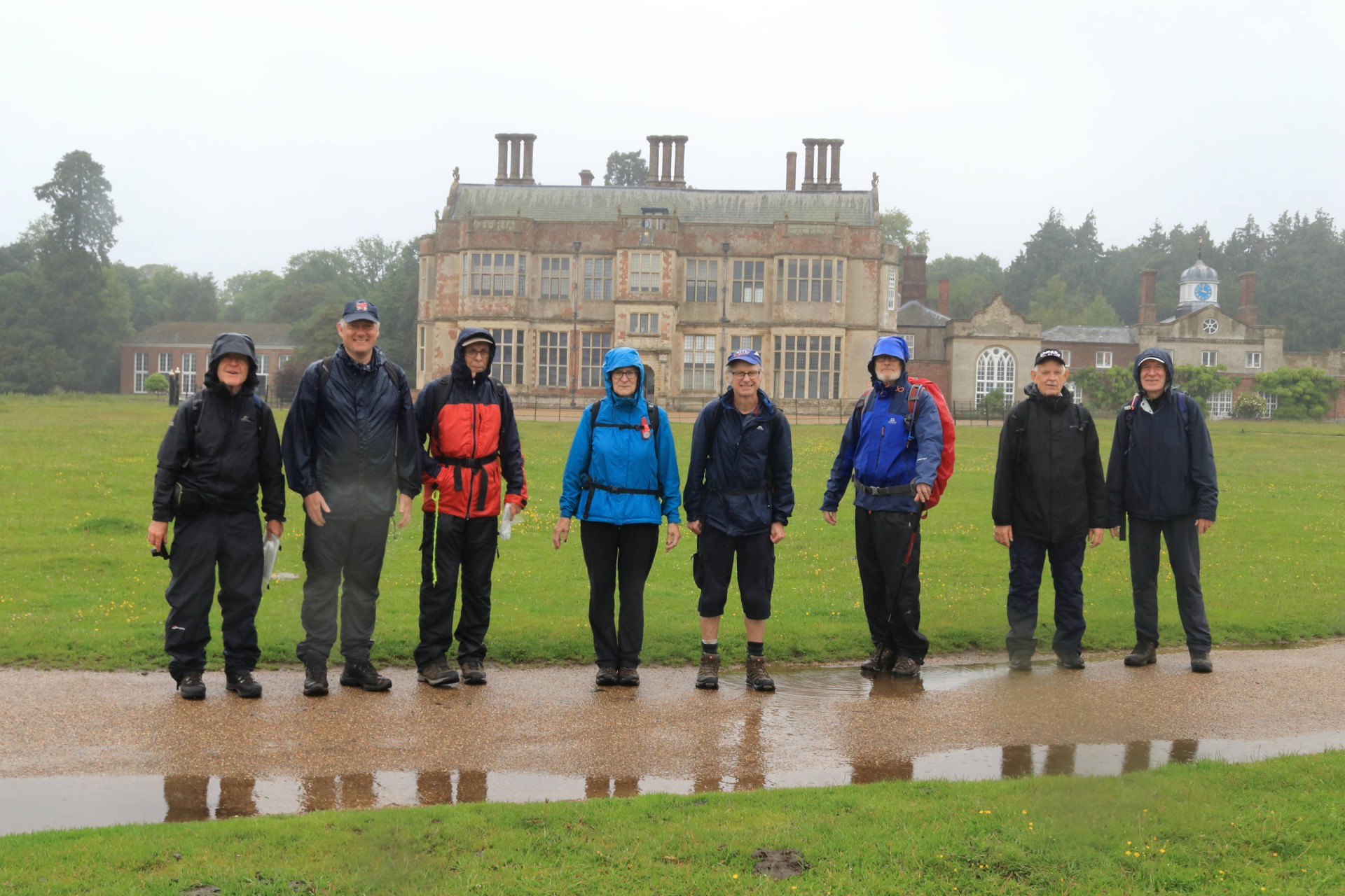
Awayday in Norfolk, Tuesday 11th June 20199 walkers, 10 miles â leader Ron Williamson
Having booked their rail tickets in advance, todayâs intrepid walkers were determined to get their moneyâs worth despite the forecasted dire weather forecast. Three planning an overnight stay in Cromer had their preparations blown away whilst a fourth decided that a dayâs decorating was the best option even at the expense of an unused rail fare.
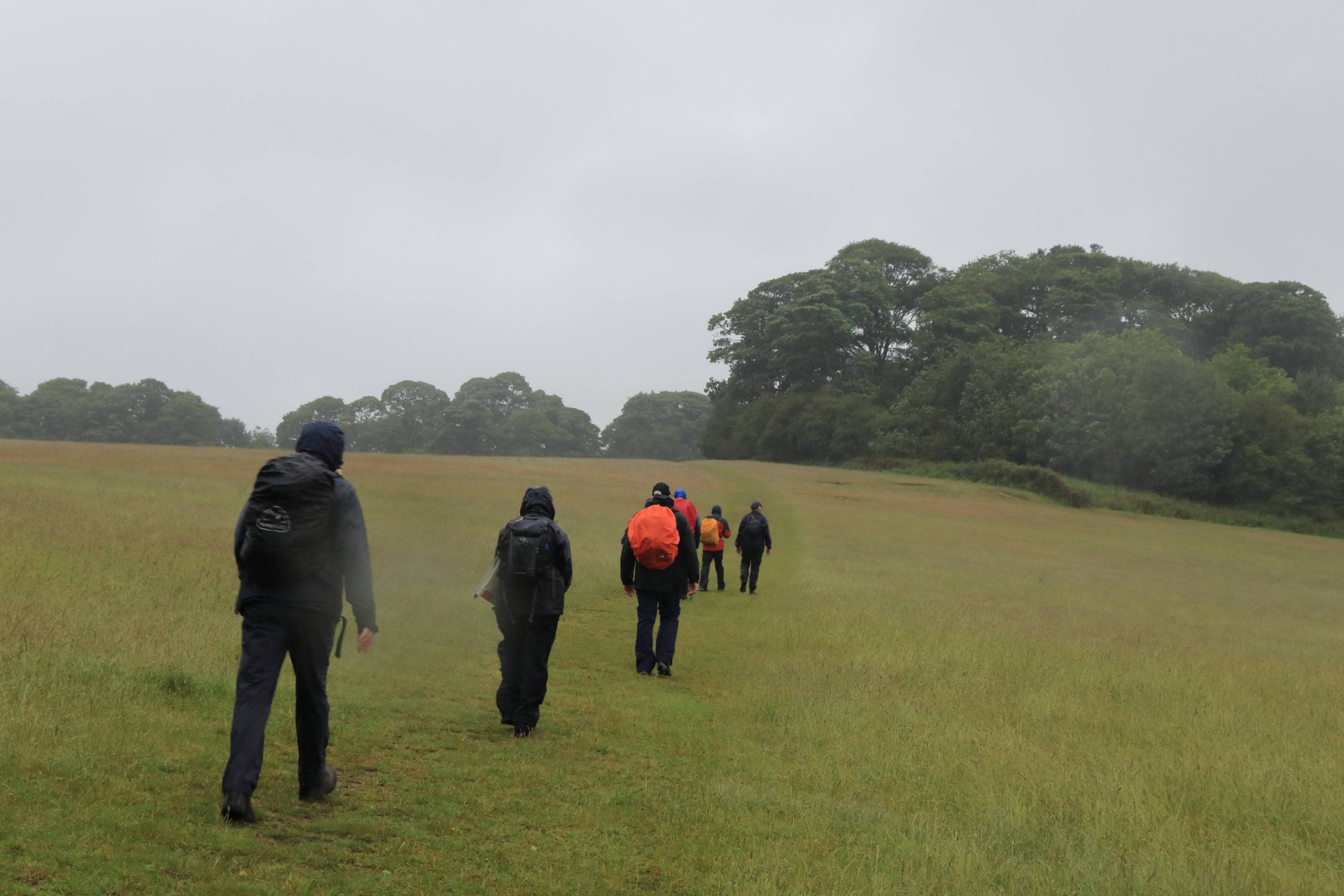
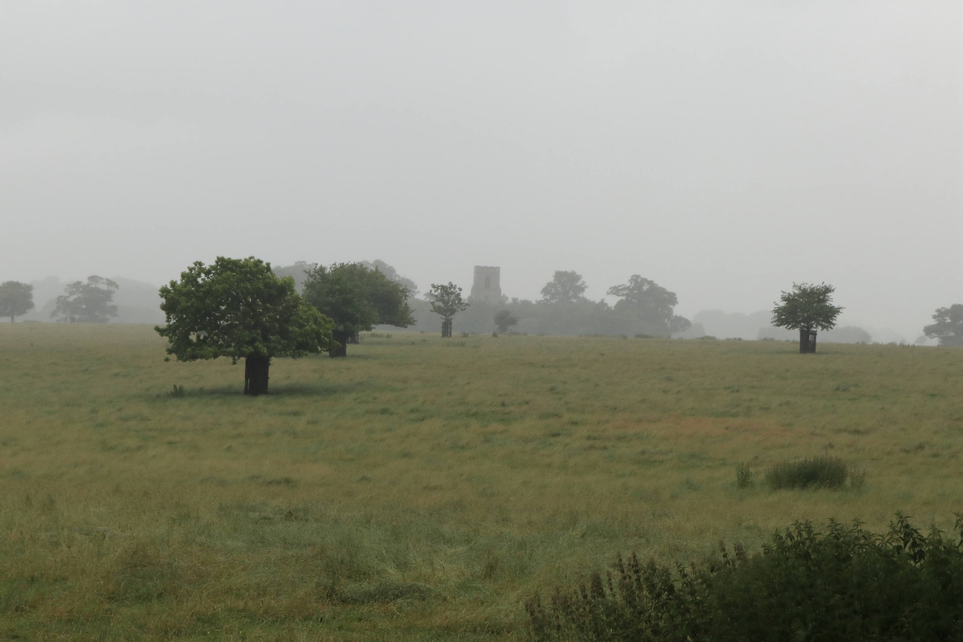
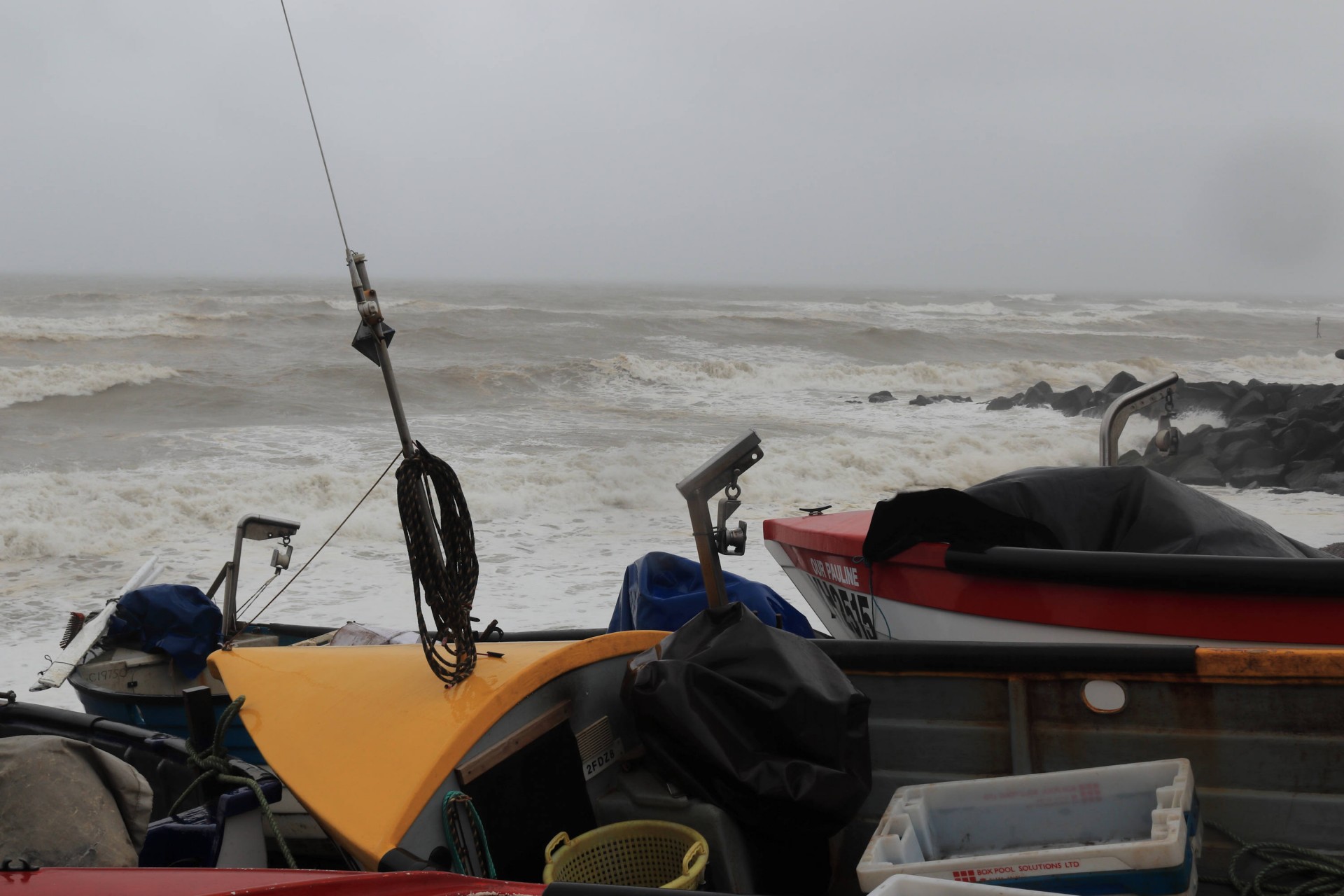
The grim prediction proved to be accurate as we alighted at the forlorn Cromer station to face an onshore gale and driving rain. Resolutely we set forth and fortunately the first 8 miles were inland where some shelter was available from the worst of the storm. The first check point at Felbrigg Hall was reached without incident and revitalised after an extended coffee break it was time to locate the Norfolk county top of Beacon Hill. No problem but also no views as all was a sea of grey.
Now downhill through extensive National Trust woodlands which kept us immune from the worst of the weather but presented a few navigational problems. With a promise of a tea shop ahead, dodging the spray from traffic along a short road section was an added entertainment.
Alas the tea shop was shut! The now drenched and downhearted crew unanimously decided that enough was enough and decided to make haste to the nearest town to seek refuge. A quick visit to the promenade confirmed that to continue along the shore would be foolhardy and that an amble along the beach eating ice cream somewhat unconventional.
So we finished in Sheringham some two hours early and 6 miles short of our objective. Now followed the best part of an hour drying out and eating fish and chips in a local café before catching an early train to Norwich and believe it or not locating a rather posh recently opened Wetherspoons close to the station. âA great waiting room.â
A good day out with a soggy cold walk but having the bonus of warm company
Photographs by Gavin Fuller; more from Gavin are on the Group Facebook site
Other Files
Download Walk ReportGPX
A GPX file of the above route may be downloaded by clicking the link below.
Note: GPX files of Group Walks are created by LDWA Group members, and may be downloaded only by other LDWA members. They should not be made available outside the LDWA, and are used at members' own risk.
Login to Download (Members Only)You can use the interactive controls to zoom in and out and to move around the map, or click on a path or a marker for more info. (interactive map help)
You can use the interactive controls to zoom in and out and to move around the map, or click on a path or a marker for more info. (interactive map help)
© OpenStreetMap contributors under Open Database Licence
Rights of way data from selected Local Authorities
Large scale digital mapping is provided by John Thorn
At high zoom levels the route is indicative only.
Gallery
Maps:
You can use the interactive controls to zoom in and out and to move around the map, or click on a marker for more info. (interactive map help)
© OpenStreetMap contributors under Open Database Licence.
Rights of way data from selected Local Authorities.
Large scale digital mapping is provided by John Thorn.


