


Why Wycombe is High - Pop Up!
Sat 23rd Mar 2019
Walk Details:
19 miles in the Chiltern hills with picnic lunch on Bradenham Green and refreshments in nearby Red Lion pub
Entry Details:
Walk Report
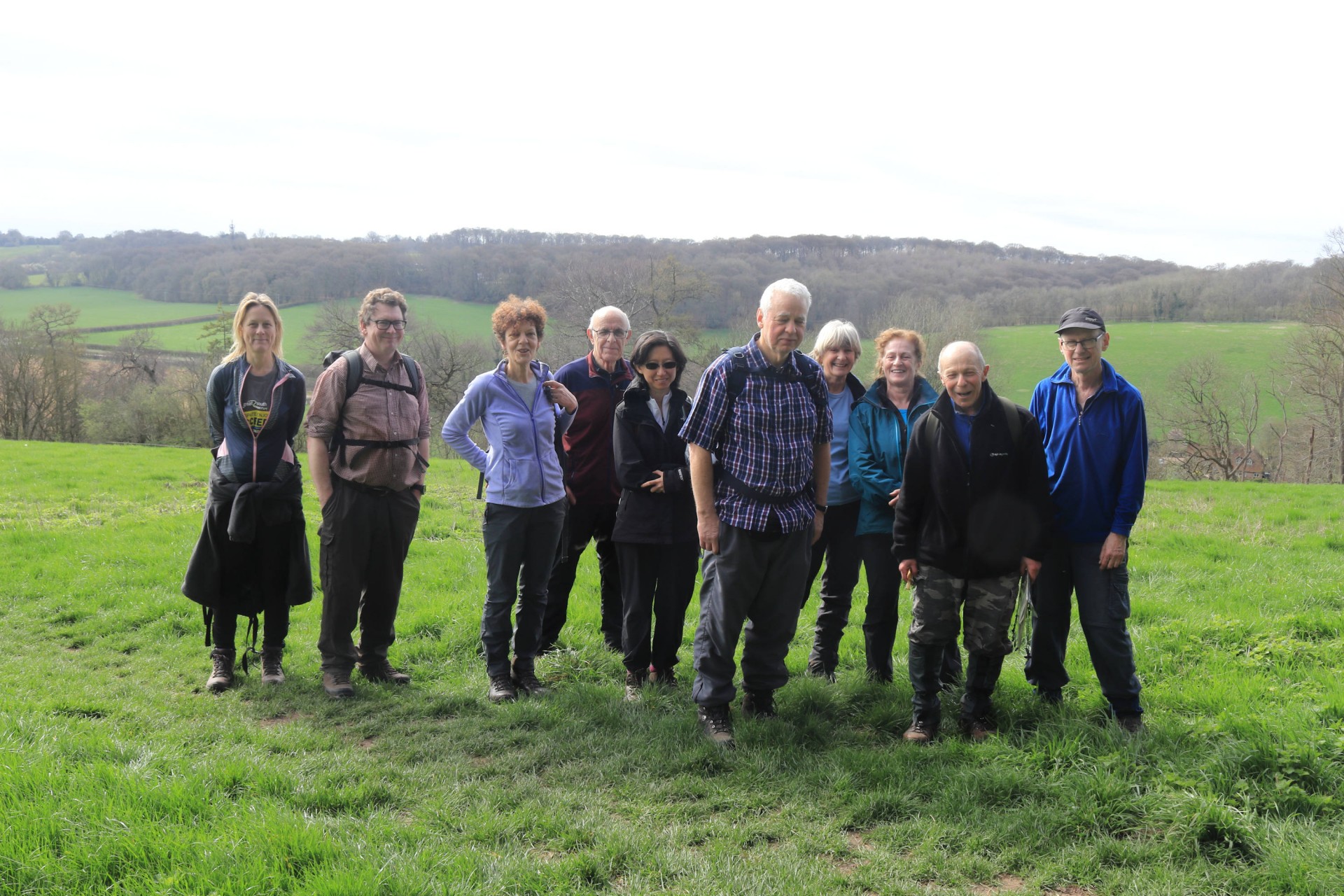
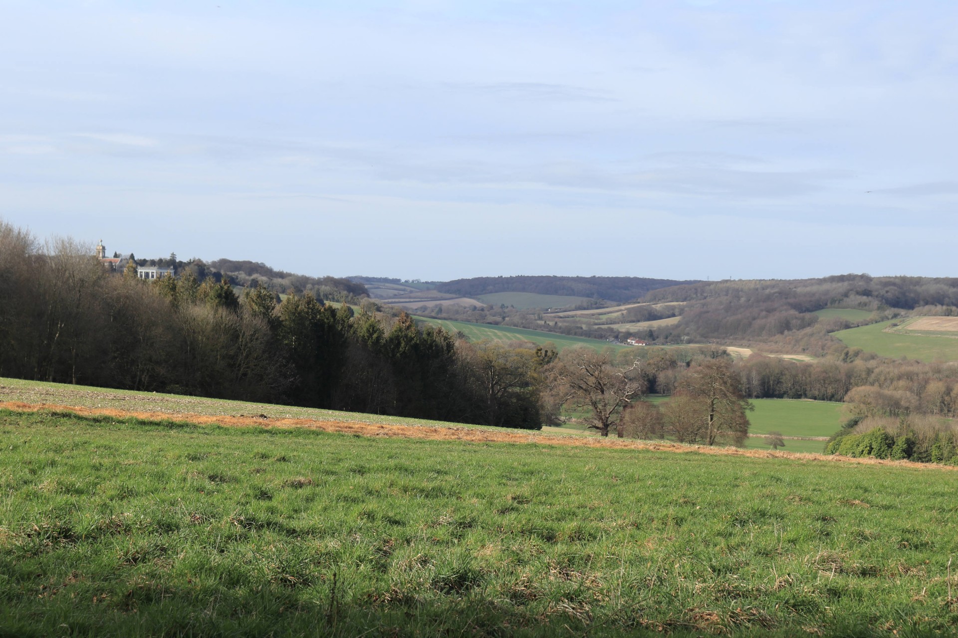
Why Wycombe is High, Saturday 23rd March 201911 walkers, 18 miles â leader Jerome Ripp
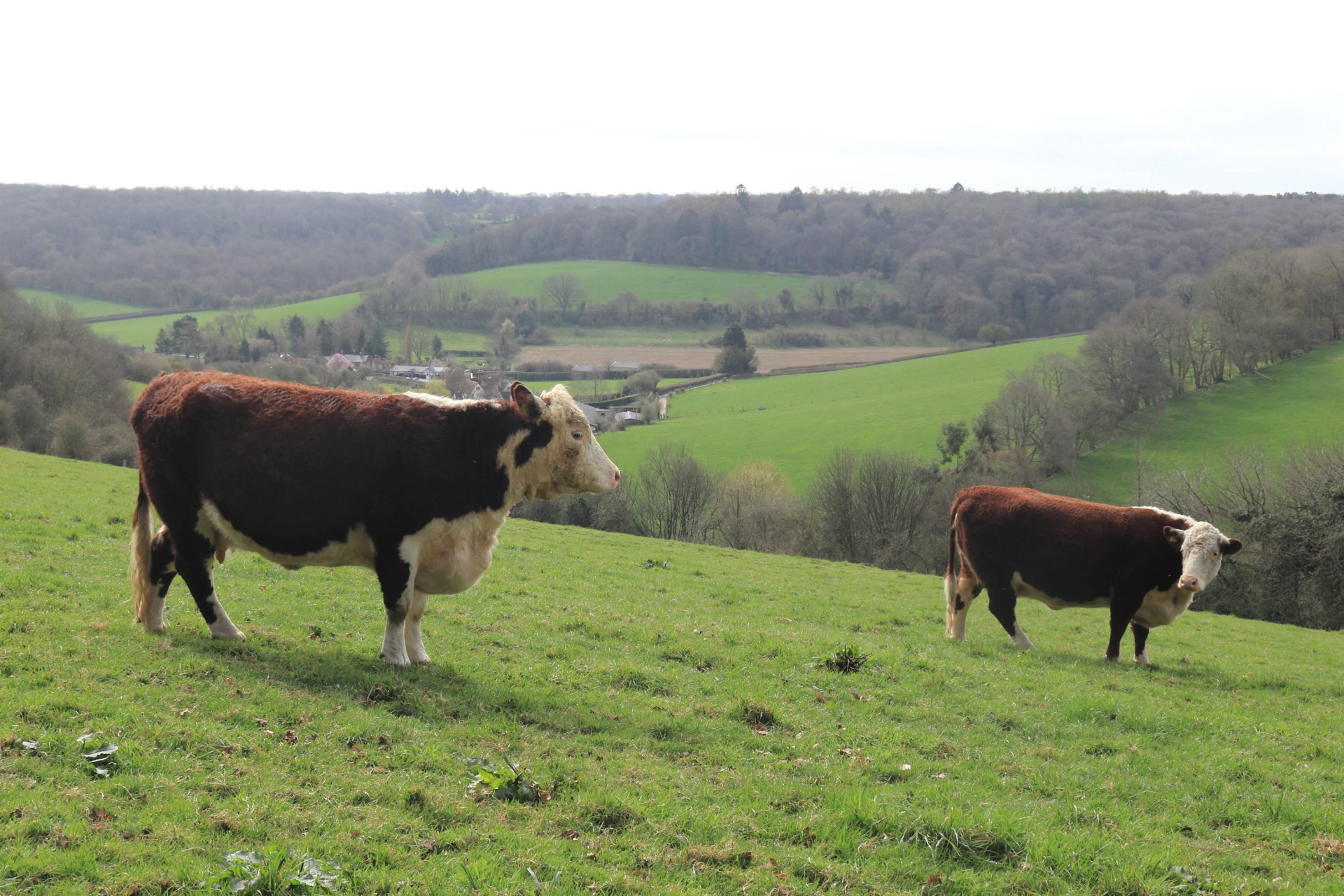
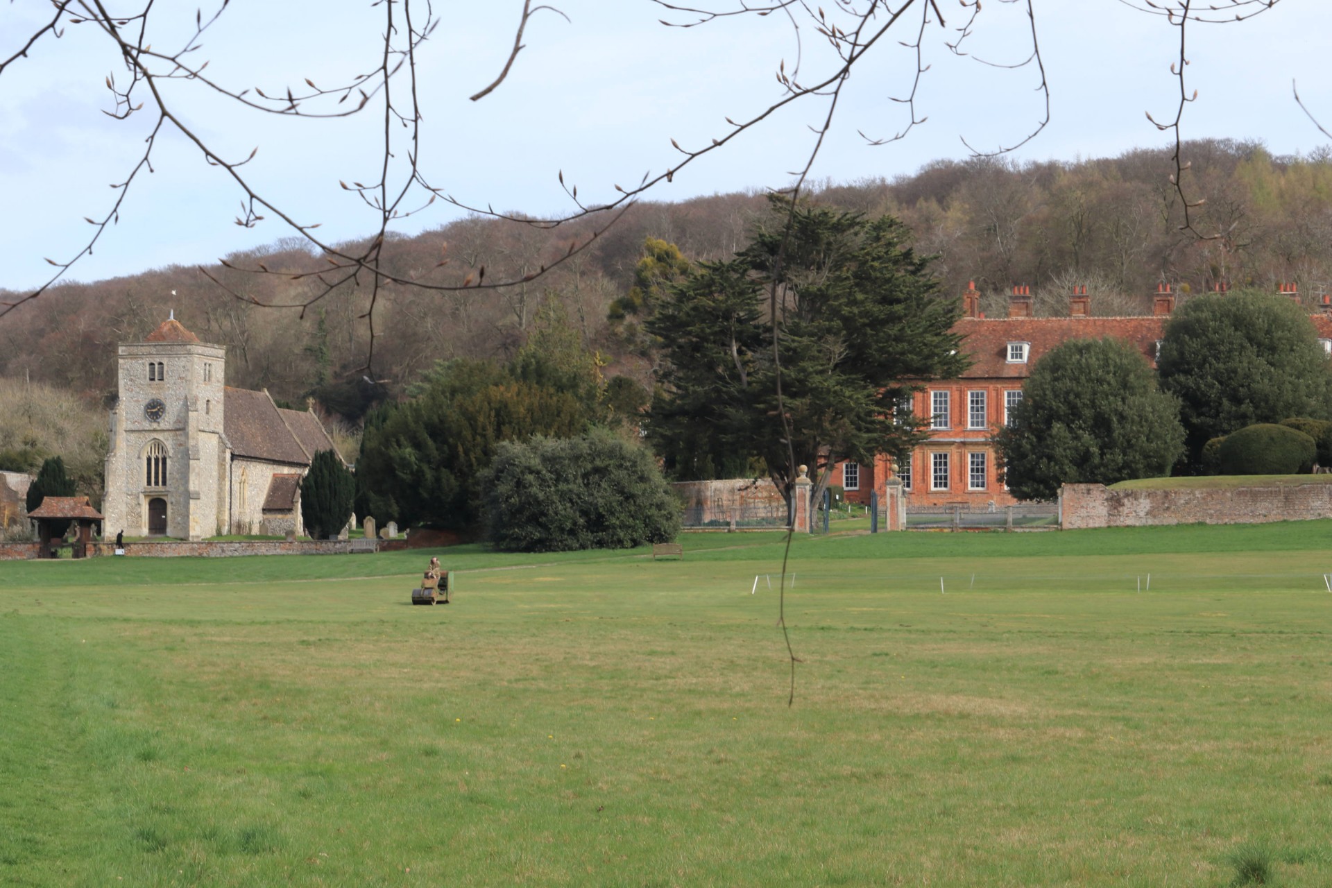
The first walk of spring and the weather responded with a grey start steadily improving to a bright warm day. The hilly walk promised was delivered with some real corkers especially the climb out of Bryant's Bottom on the additional loop section. Lots of lovely quite dry woodland which all looked the same (and sometimes it was!) and glorious views across valleys and isolated habitations. The morning section to the north visited Cryers Hill, Speen, Walters Ash and picnic lunch on the vast village green at Bradenham. The nearby Red Lion had metamorphosed from a pub to a coffee shop but provided adequate refreshment for all tastes. We all stormed up the next (off piste) hill, a long quiet ridge to West Wycombe and a final half loop south before the urban walk back to the station. The leader even gained an extra brownie point for providing certain members of the group with their favourite hostelry.
Photographs by Gavin Fuller; more by Gavin on the group Facebook site
Other Files
Download Walk ReportGPX
A GPX file of the above route may be downloaded by clicking the link below.
Note: GPX files of Group Walks are created by LDWA Group members, and may be downloaded only by other LDWA members. They should not be made available outside the LDWA, and are used at members' own risk.
Login to Download (Members Only)You can use the interactive controls to zoom in and out and to move around the map, or click on a path or a marker for more info. (interactive map help)
You can use the interactive controls to zoom in and out and to move around the map, or click on a path or a marker for more info. (interactive map help)
© OpenStreetMap contributors under Open Database Licence
Rights of way data from selected Local Authorities
Large scale digital mapping is provided by John Thorn
At high zoom levels the route is indicative only.
Gallery


Maps:
You can use the interactive controls to zoom in and out and to move around the map, or click on a marker for more info. (interactive map help)
© OpenStreetMap contributors under Open Database Licence.
Rights of way data from selected Local Authorities.
Large scale digital mapping is provided by John Thorn.


