


Gripping Valley River Path - Pop Up!
Tue 26th Mar 2019
Walk Details:
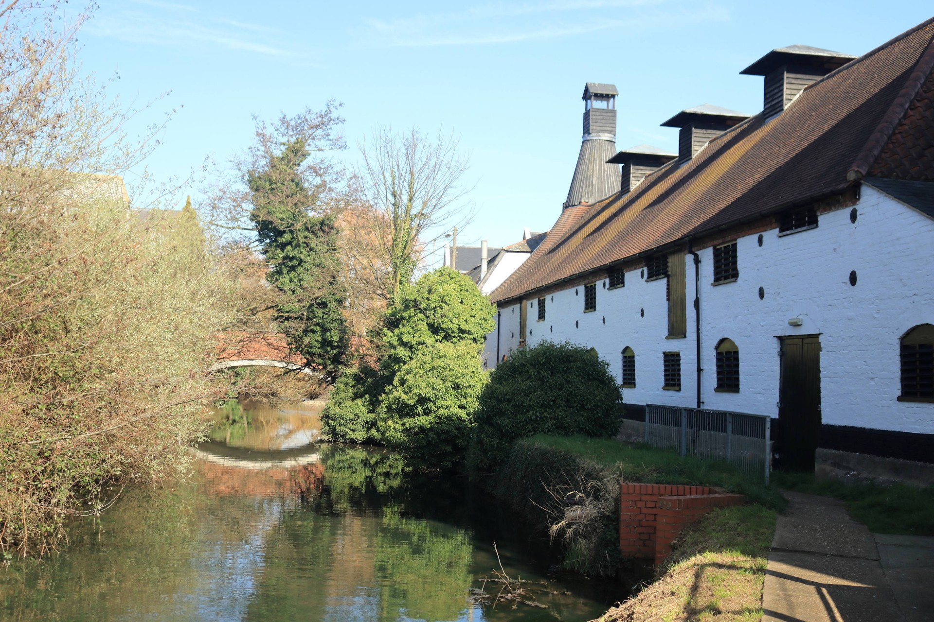
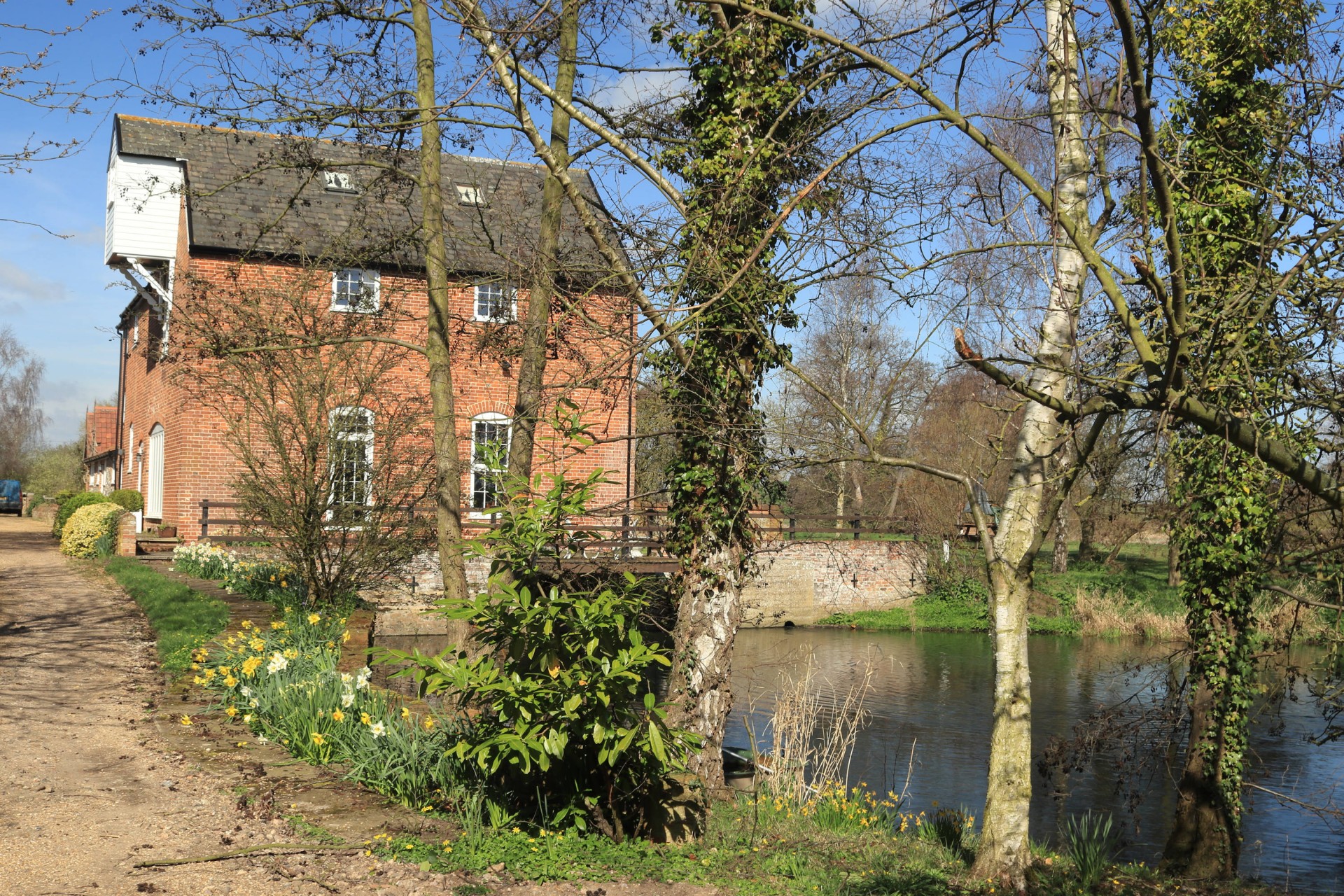
A walk (mainly) along the old navigation that linked Stowmarket to the docks at Ipswich, passing many old locks (some restored) as well as picturesque water mills. Home to herons, kingfishers and otters
Entry Details:
Walk Report
Gipping Valley River Path, Tuesday 26th March 201911 walkers, 19 miles - leader Pete Colley
Eleven of us took advantage of the reasonably priced advance tickets to Stowmarket, deep in the heart of Suffolk. [Apologies to those who turned up on the day and fled at the £90 return fare].
After an uninspiring first mile along the River Gipping - through Stowmarketâs charmless industrial complex, home to Dulux paints and Muntonsâ maltings - an authorised detour allowed us to avoid a further 1½ miles of factories and add 300ft of ascent to an otherwise gently descending river walk. The detour took us past two lonely churches and re-joined the river at the picturesque Badley Mill.
The morning section meandered through quiet meadows and past Needham Market, bathed by a delightful spring sun under blue skies. The more exotic wildlife (herons, kingfishers, otters) were clearly having a quiet day in; their more common cousins (ducks, geese, swans, cows) almost made up for their absence. The clouds arrived as we approached the lunch stop at Baylham House Rare Breeds Farm. Although we were a couple of weeks too early to cuddle a lamb, the farm café served a mean cuppa and some fine farm fare.
The afternoon section passed by several privately-owned, heavily-fenced fishing lakes that were formerly sand and gravel quarries, dating back to Roman times. On the approach into Ipswich, the boisterous A14 dual carriageway closed in but the townies among us were able to block out the traffic and focus on the meadows and rolling farmlands.
Entering urban Ipswich through the back door, the river secretly changed its name to the Orwell and demonstrated some tidal tendencies. The final stretch of riverside path gave us a glimpse of the townâs underbelly; not the prettiest of ends to a pleasant dayâs stroll. Those of us who had booked an early return train headed to the station whilst a hardy bunch of travellers headed off to find some cricketers (https://www.jdwetherspoon.com/pubs/all-pubs/england/suffolk/the-cricketers-ipswich).
Photographs by Gavin Fuller; more by Gavin on the group Facebook site
Other Files
Download Walk ReportGPX
A GPX file of the above route may be downloaded by clicking the link below.
Note: GPX files of Group Walks are created by LDWA Group members, and may be downloaded only by other LDWA members. They should not be made available outside the LDWA, and are used at members' own risk.
Login to Download (Members Only)You can use the interactive controls to zoom in and out and to move around the map, or click on a path or a marker for more info. (interactive map help)
You can use the interactive controls to zoom in and out and to move around the map, or click on a path or a marker for more info. (interactive map help)
© OpenStreetMap contributors under Open Database Licence
Rights of way data from selected Local Authorities
Large scale digital mapping is provided by John Thorn
At high zoom levels the route is indicative only.
Gallery


Maps:
You can use the interactive controls to zoom in and out and to move around the map, or click on a marker for more info. (interactive map help)
© OpenStreetMap contributors under Open Database Licence.
Rights of way data from selected Local Authorities.
Large scale digital mapping is provided by John Thorn.


