


Braintree to Maldon
Thu 30th May 2019
Walk Details:
Event Type
Group Walk
Region
Southern England
Local Group
London
Distance
17 or 9ml.
Start Time
10:50
Route
Start: Braintree station 10:50 (09:48 ex Liverpool Street)
Finish: Maldon for bus to Chelmsford station or Witham station after 9 miles
Following the John Ray Walk to Witham and then Blackwater Rail Trail to Maldon
General Notes
Suitable for those requiring a shorter route finishing at Witham. Buses from Maldon to Chelmsford every half hour. Conservative estimated time to arrive in London 18:55
Coffee stop after 4 miles, bring supplies for lunch. Possible Wetherspoons visit at Maldon or Chelmsford. No recce completed for this walk so be prepared for diversions etc
Web Site
Start and Finish
Entry Details:
Cost
Walk Report
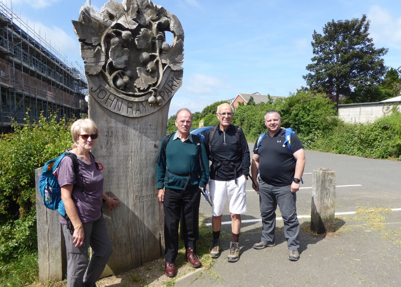
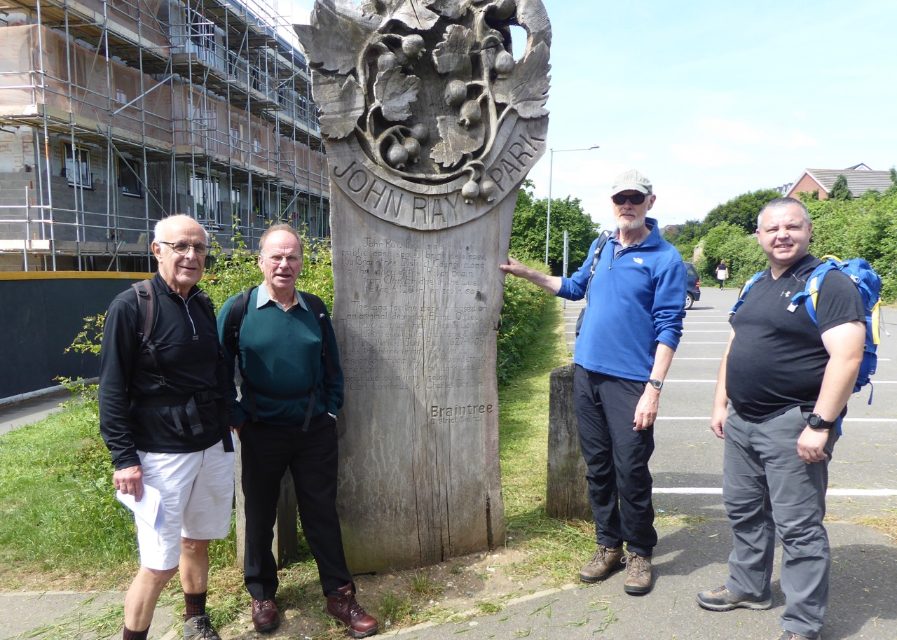
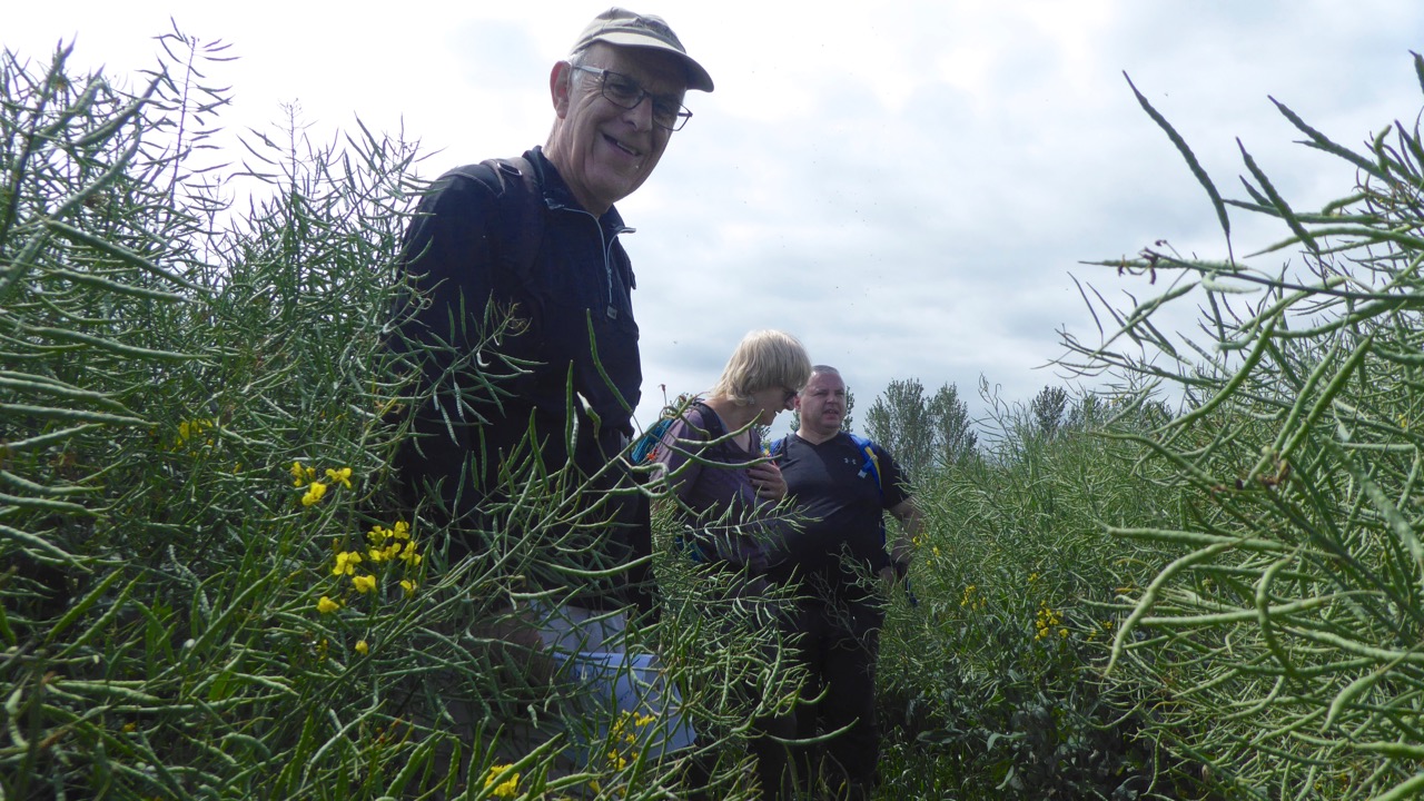
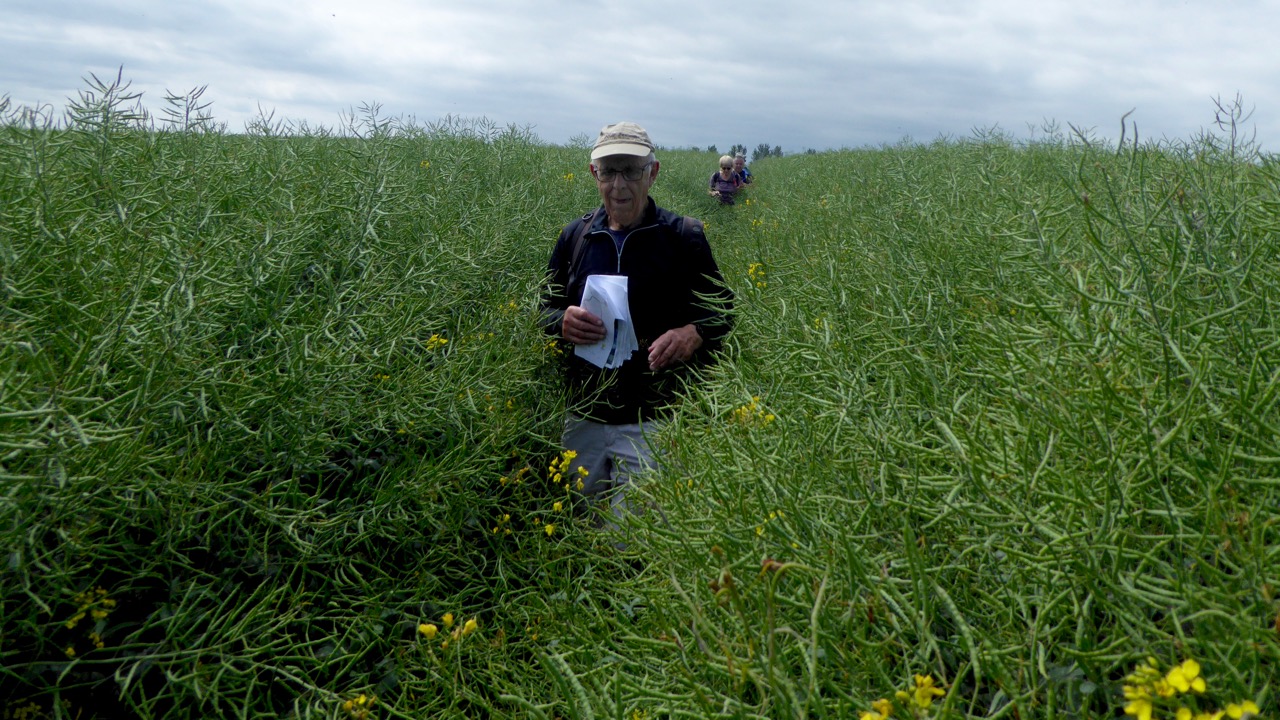
Braintree to Maldon, Thursday 30th May 20195 walkers, 18 miles - leader Ron Williamson
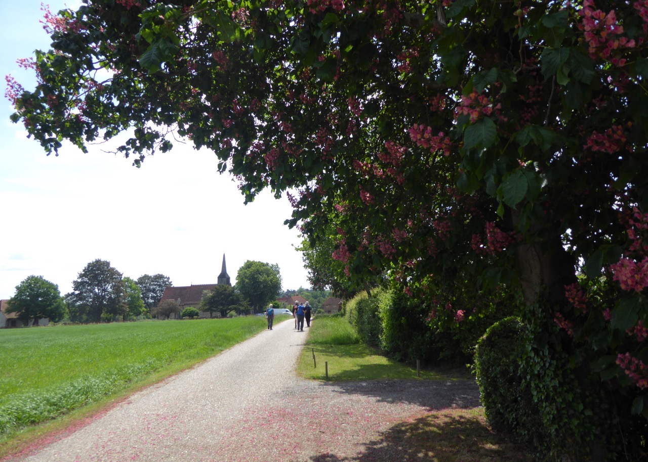
A walk which utilised two way marked routes North to South through mid-Essex.
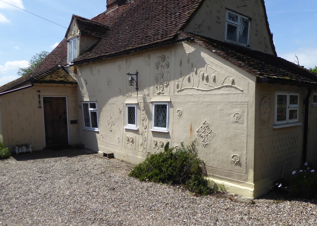
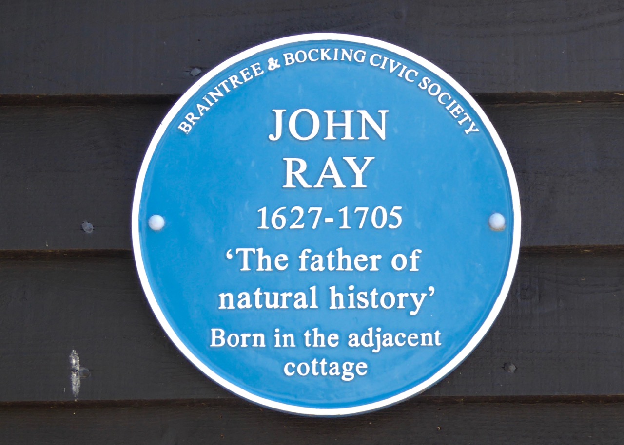
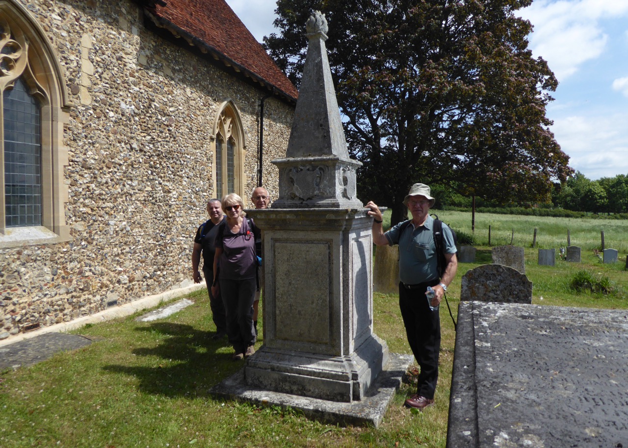
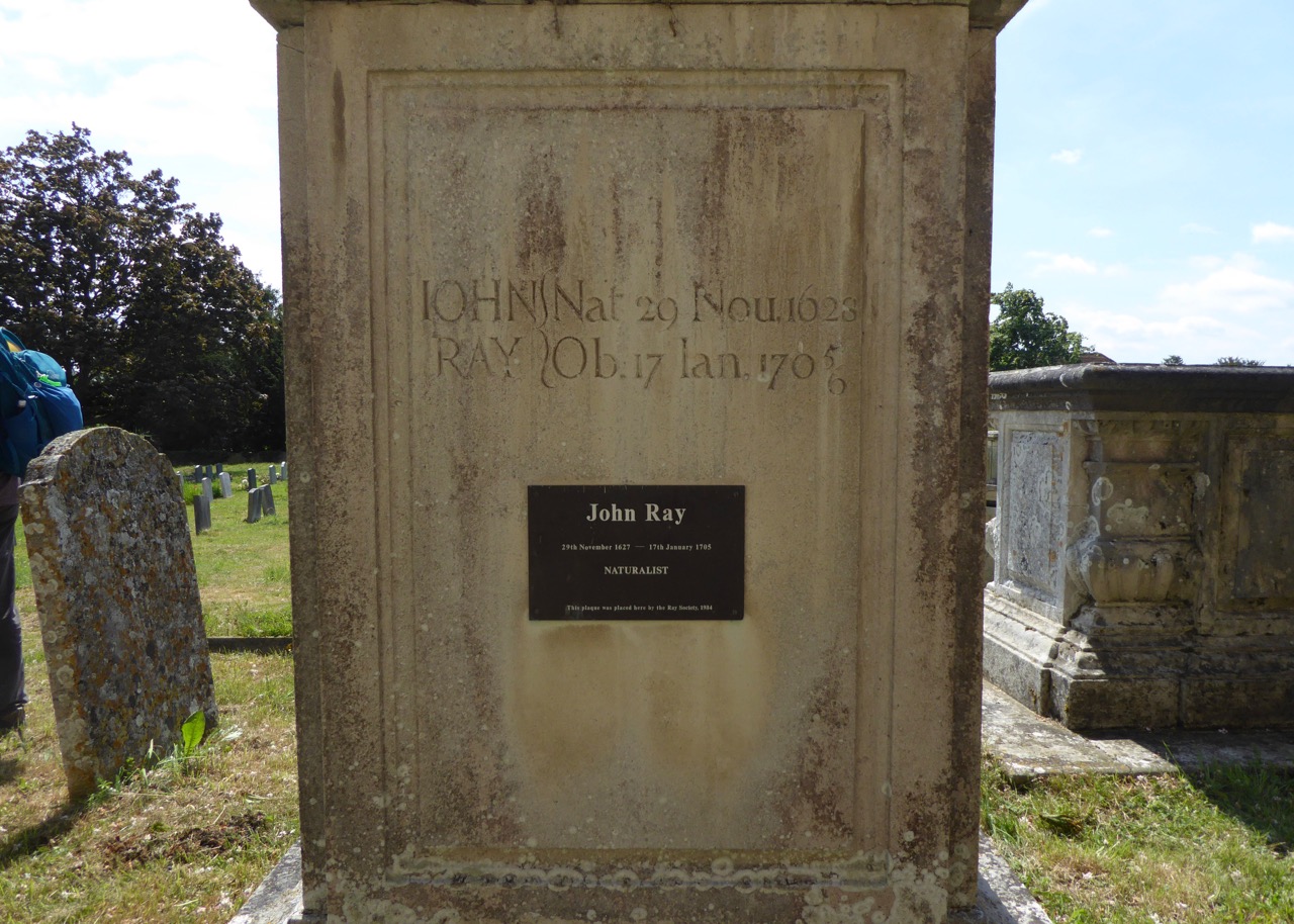
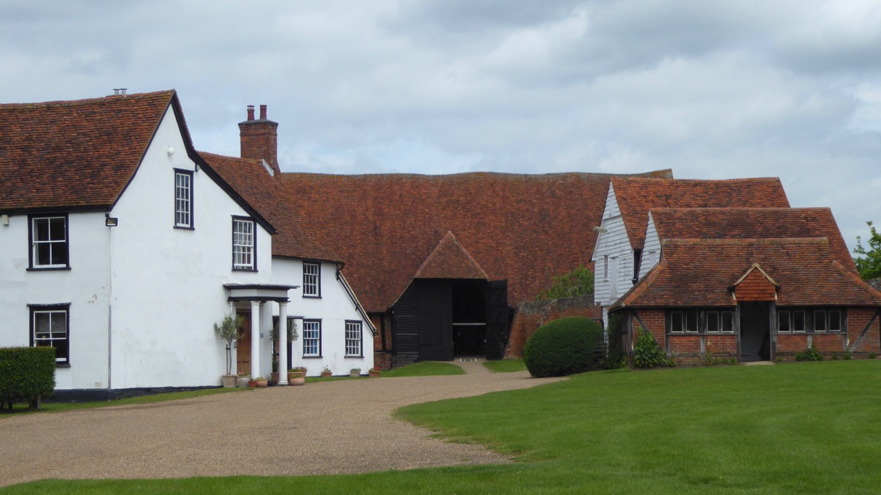
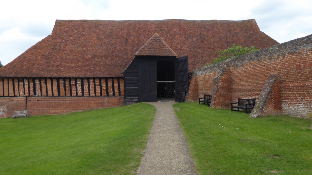
The John Ray Walk starts conveniently at Braintree station and visits locations associated with an extraordinary man heralded as the father of English natural history. A comprehensive guide can be downloaded which describes the life and achievements of the 17th Century botanist. The visitor centre at the huge medieval barns of Cressing Temple proved to be an ideal refreshment stop. The last mile is at present difficult to follow as the official way seems to traverse a building site for a new housing development with no diversions indicated, probably best to stick to the main roads.
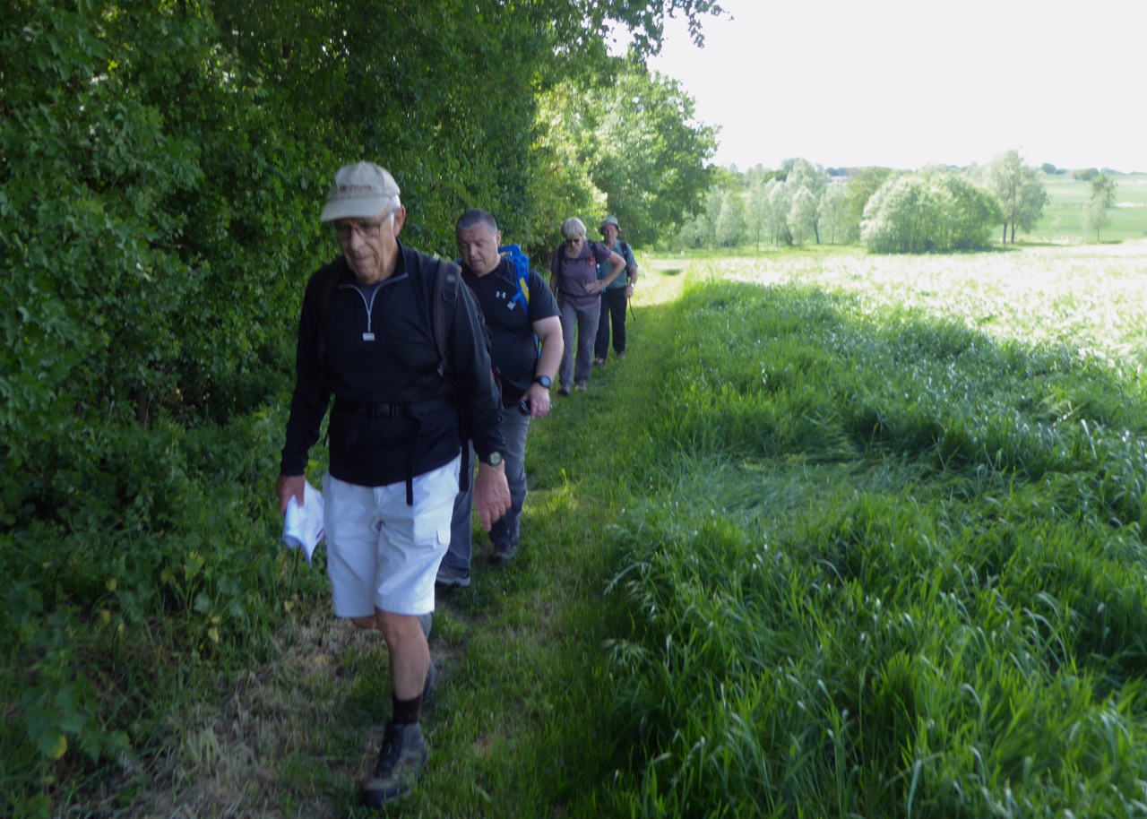
The Blackwater Trail closely follows the route of the former Witham to Maldon Railway. A pleasant green corridor between the two towns passing through the villages of Wickham and Langford the main points of interest being the only surviving wooden railway viaduct in the country and the restored station at Langford whose station master was the first female to hold such a position.
A satisfying stroll in unfamiliar country the unexpected bonus being the barns at Cressing Temple well worth a visit if you are in the area.
Photographs by Godfrey O'Callaghan
Other Files
Download Walk ReportGallery


Maps:
You can use the interactive controls to zoom in and out and to move around the map, or click on a marker for more info. (interactive map help)
Contains Ordnance Survey data © Crown copyright and database right 2016.
© OpenStreetMap contributors under Open Database Licence.
Rights of way data from selected Local Authorities.
Large scale digital mapping is provided by John Thorn.
© OpenStreetMap contributors under Open Database Licence.
Rights of way data from selected Local Authorities.
Large scale digital mapping is provided by John Thorn.


