


Alliteration G - Goodnestone x2
Sun 22nd Sep 2019
Walk Details:
A Linear walk, finishing at Adisham station
Entry Details:
Walk Report
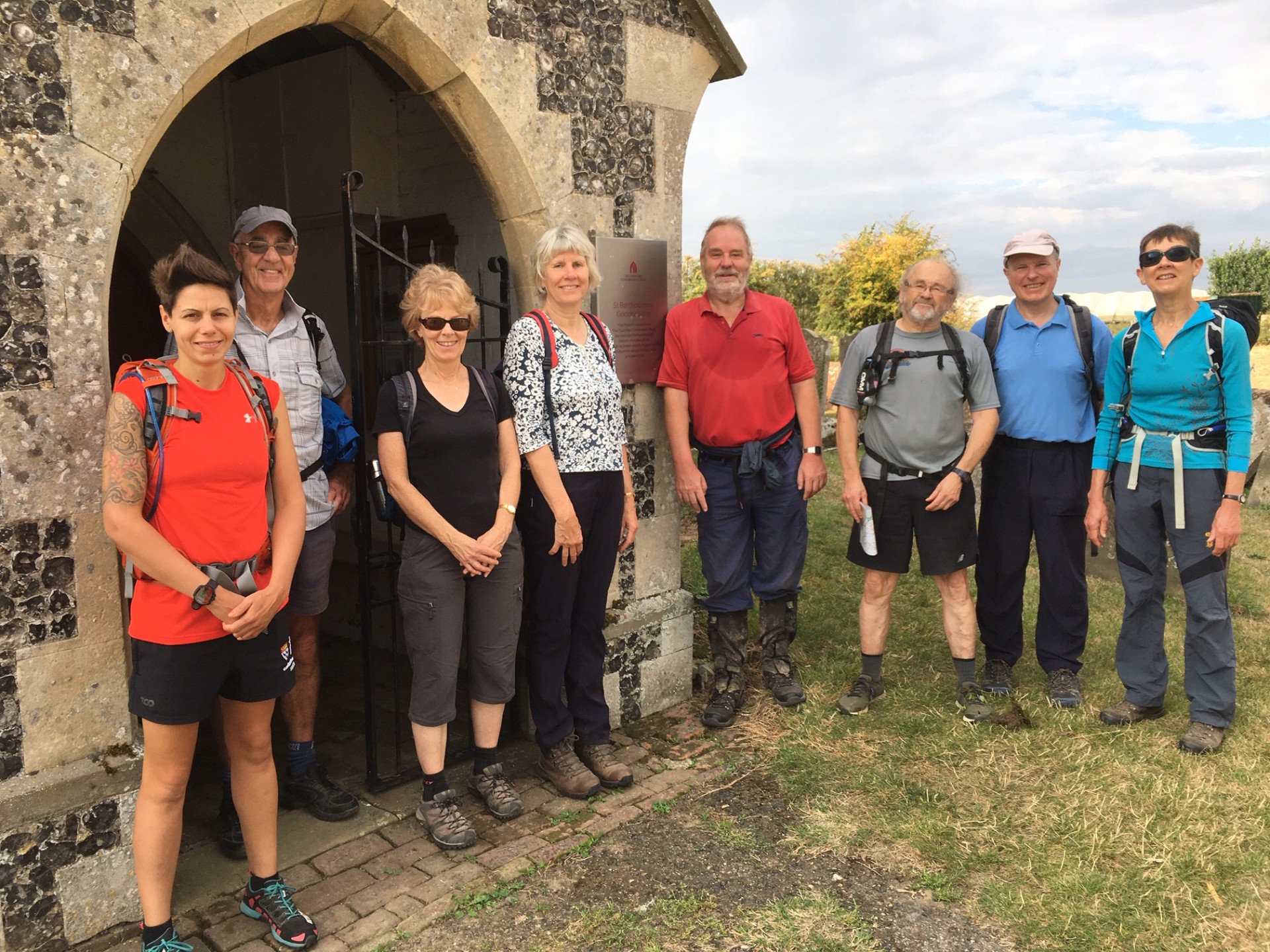
Alliteration G Goodnestone x 2, Sunday 22nd September 20199 walkers, 23 miles - leader Peter Jull
A clashing Sussex Stride distracted and engineering works deterred all bar 9. Across the longest railway footbridge in the country led to Faversham's peaceful land of the dead through which the route out of town was found. New reinstatements and old reinstatements newly cultivated out confounded way finding until a genuine de-hopped hop garden, once ubiquitous here but now a scarcity. Goodnestone No1's tiny and now defunct church was viewed inside and photographed out. Much orchard country and many minor roads reached The Woodland Trust's mostly unwooded Victory Wood where a bench provided elevenses and later, views back across the Swale. Into properly wooded Blean "easy to get lost in" Woods with it's up to 7-way path junctions, a few GPS consulting hesitations found the exit onto the easy to get lost on University of Kent at Canterbury's campus which was less perfectly perambulated. Two of us being employees found themselves unexpectedly passing their places of work but were able to access its comfort facilities. Partly down the ex-railway Crab & Winkle line into the city, picnickers perched peacefully by the riverside while pubbers found their target unopen 'til 2pm. Adjacent pizza & chip shops provided sustenance partaken at a bus stop beside the decidedly un-peaceful A28. Out of city on the Stour Valley Walk to turn up above Fordwich and across Christchurch University's playing fields where faces known to one were trialling fresher rugbyists while others practised rarely seen lacrosse. Dry into woods, before reaching the exit it was showering. Into more woods, before reaching the exit it was dry. Forced by forecasts into carrying waterproofs all day they were never needed more than this. Down past solar farm & fishing lakes to cross the gurgling Nailbourne at Littlebourne's mill then much big arable and the finish was literally in sight but Goodnestone No 2 had not yet been reached. More big arable found its Fitzwalter Arms open but far too late. Its bigger church abuts stately gardens unseen behind their high walls. A track (long), paddock (big) arable (big) & road (fairly long) hooked back to reach the finish at Adisham station after 8Ãâý hours and transport home.
Photographs by Peter Jull
Other Files
Download Walk ReportGPX
A GPX file of the above route may be downloaded by clicking the link below.
Note: GPX files of Group Walks are created by LDWA Group members, and may be downloaded only by other LDWA members. They should not be made available outside the LDWA, and are used at members' own risk.
Login to Download (Members Only)You can use the interactive controls to zoom in and out and to move around the map, or click on a path or a marker for more info. (interactive map help)
You can use the interactive controls to zoom in and out and to move around the map, or click on a path or a marker for more info. (interactive map help)
© OpenStreetMap contributors under Open Database Licence
Rights of way data from selected Local Authorities
Large scale digital mapping is provided by John Thorn
At high zoom levels the route is indicative only.
Gallery
Maps:
You can use the interactive controls to zoom in and out and to move around the map, or click on a marker for more info. (interactive map help)
© OpenStreetMap contributors under Open Database Licence.
Rights of way data from selected Local Authorities.
Large scale digital mapping is provided by John Thorn.


