
Fun Group Kanter
Sun 11th Aug 2019
Walk Details:
Event Details Updated
More details supplied on 17 June
Event Type
Group Walk
Region
Southern England
Local Group
Thames Valley
Distance
14-20ml.
Start Time
09.00
Route
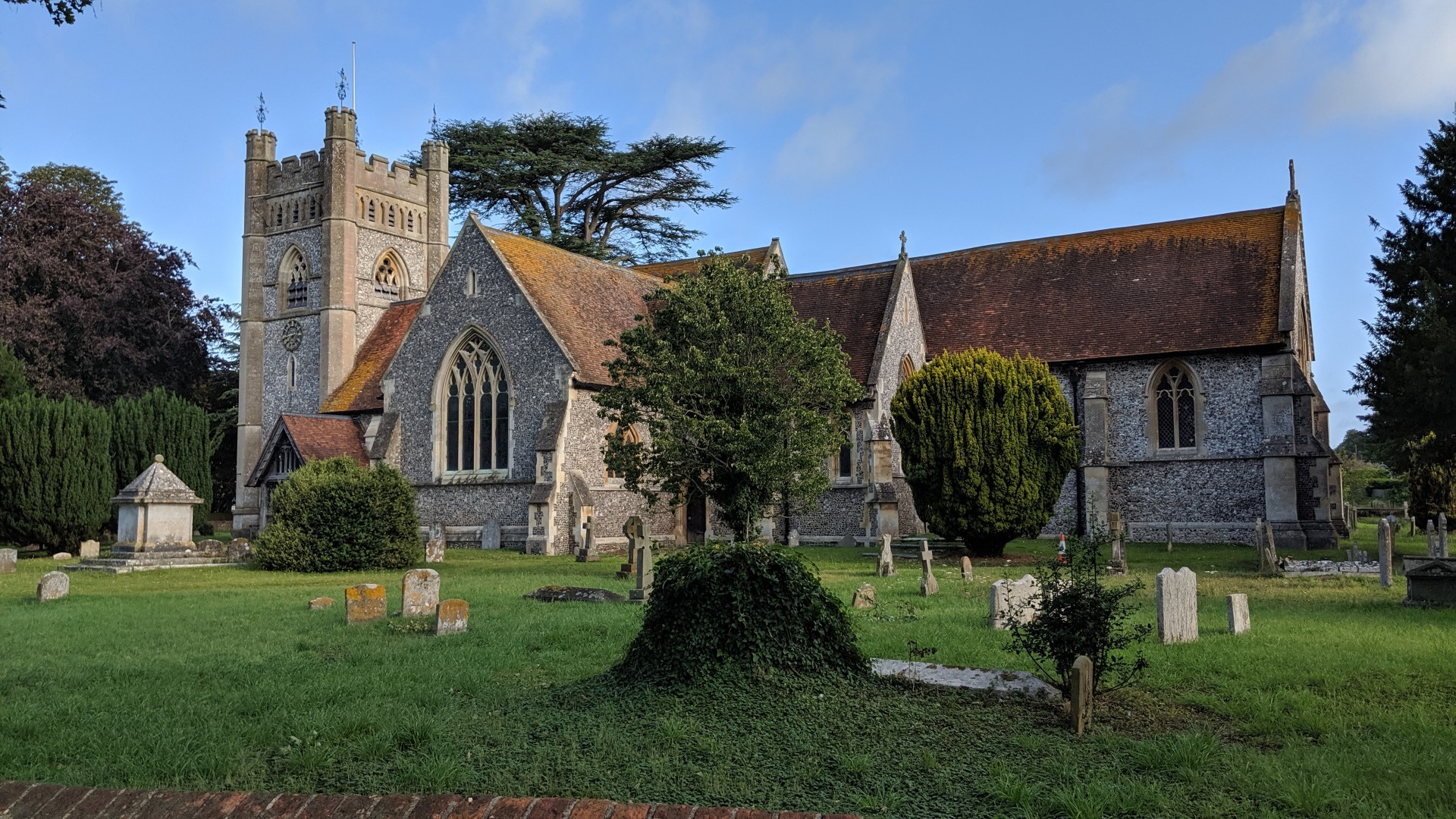
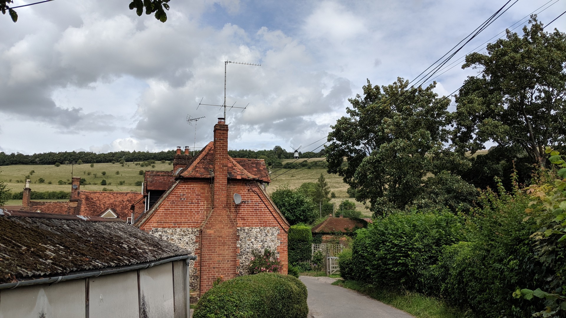
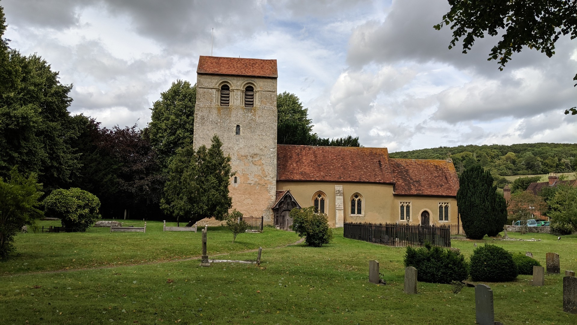
CP behind Stag & Huntsman PH, Hambleden
General Notes
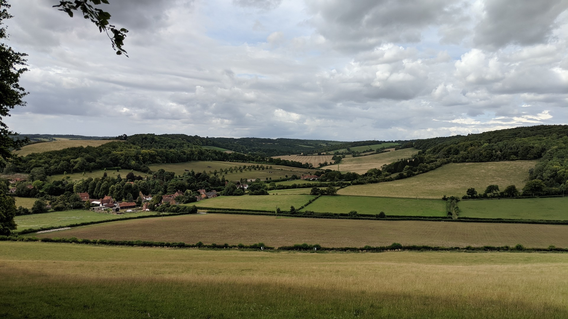
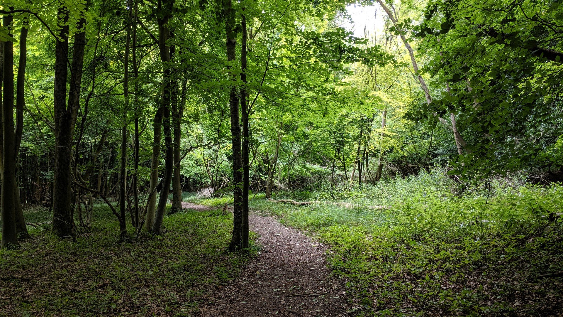
All welcome. Form groups on the day; map reading skills optional. Register and form into groups from 8:30. Route information will be issued to start walking by 09:00. Each group will need OS Explorer Map 171, compass (on phone sufficient) and a pen/pencil and declare a contact telephone number. The minimum distance is 14 miles with 1,650ft of climb and 15 clue locations with up to 6 additional loops that if all completed increase the distance to 22 miles with 3,000ft of climb and 28 clue locations. All to be back at Hambleden by 17:00. Bring a cup for cold drink and cake at the end
Web Site
Start and Finish
Entry Details:
Cost
Walk Report
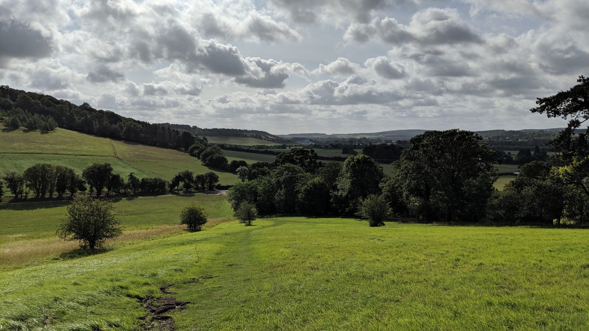
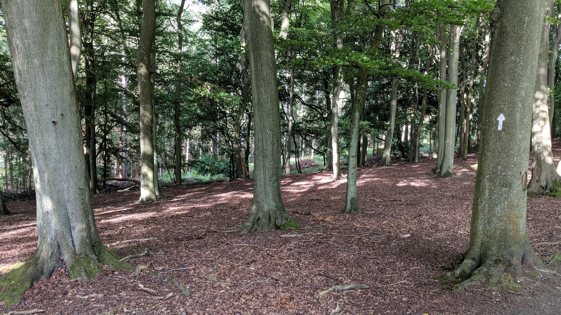
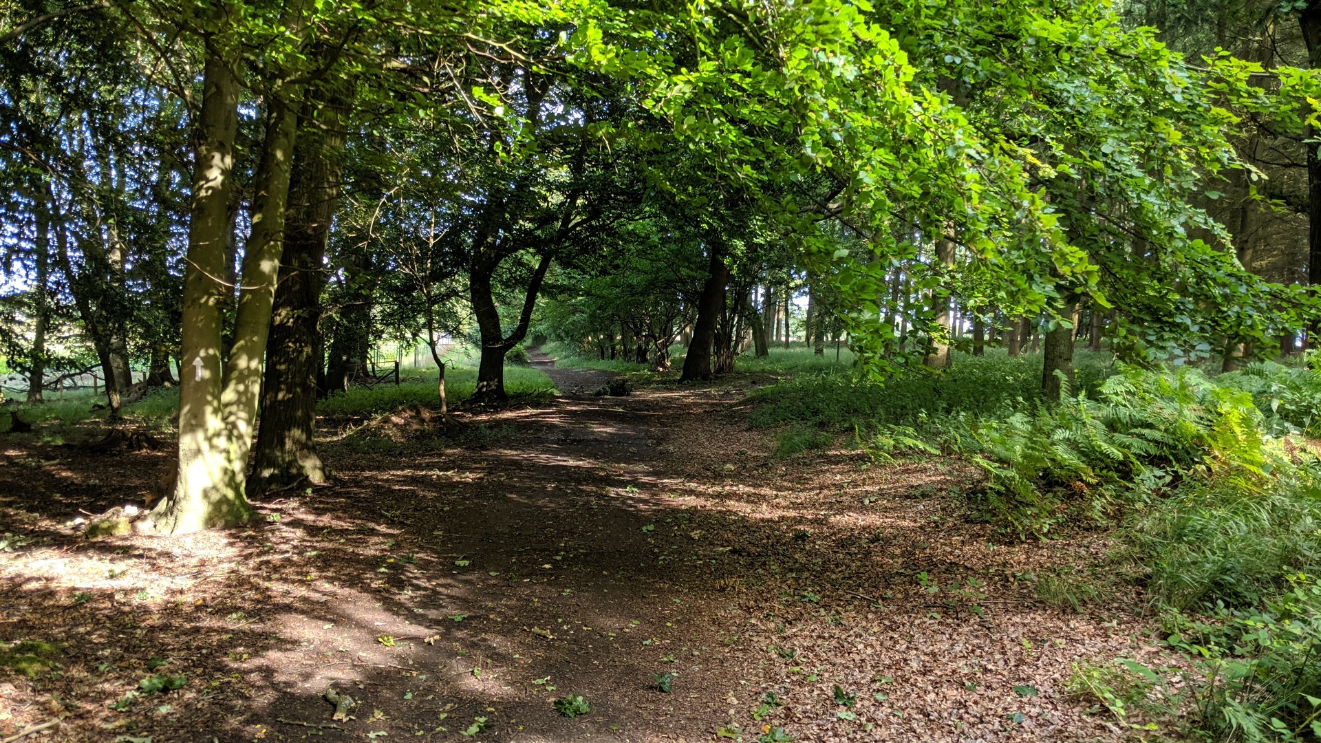
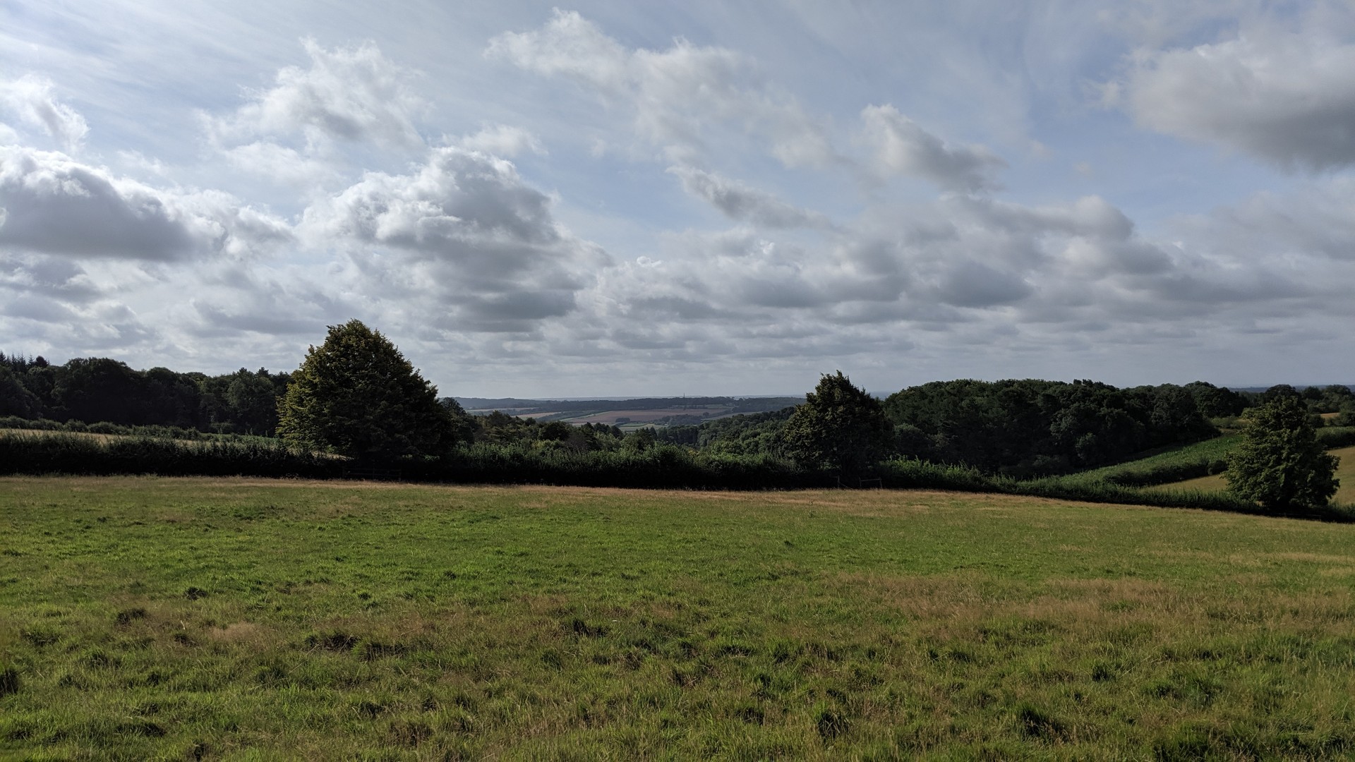
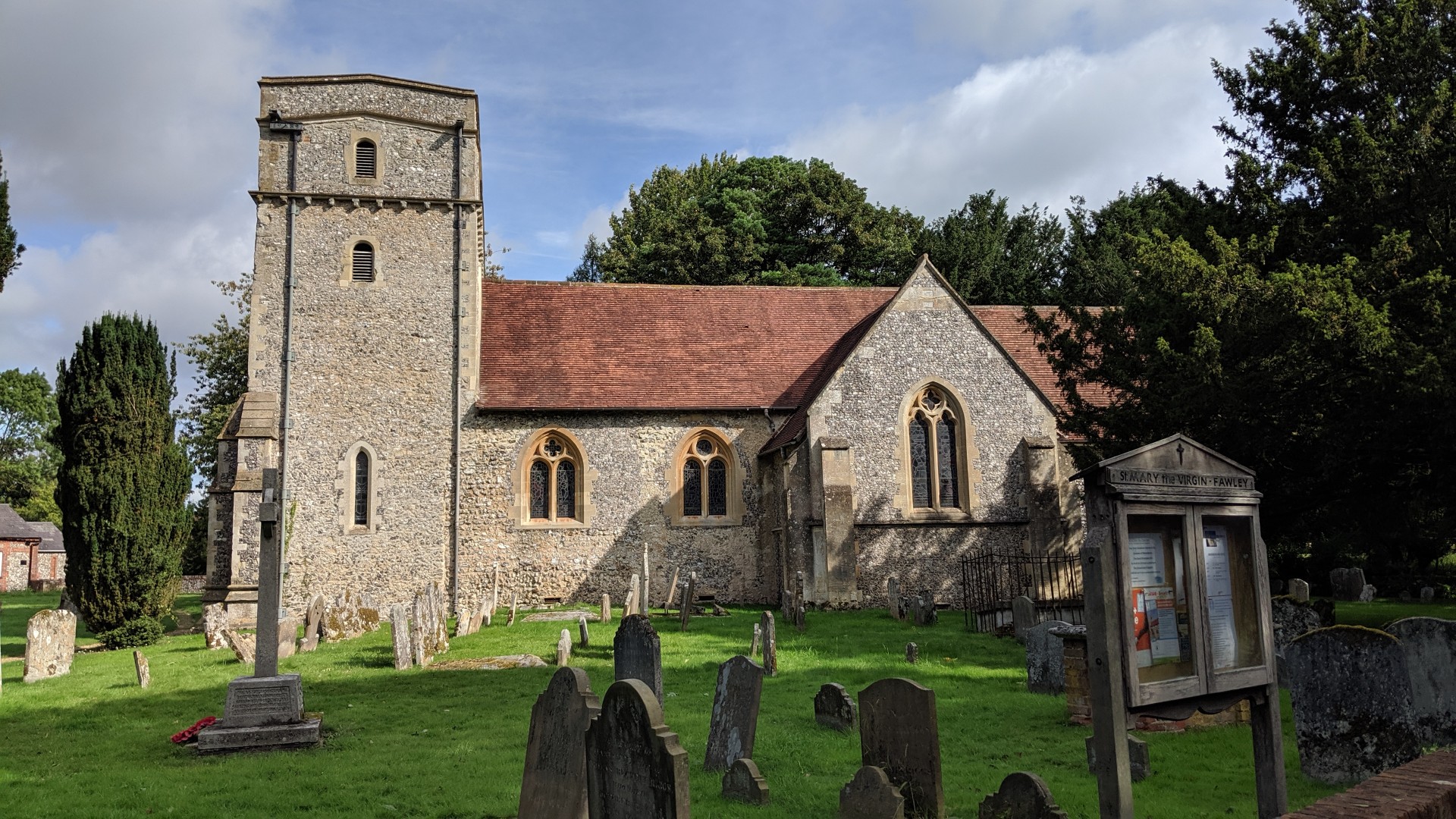
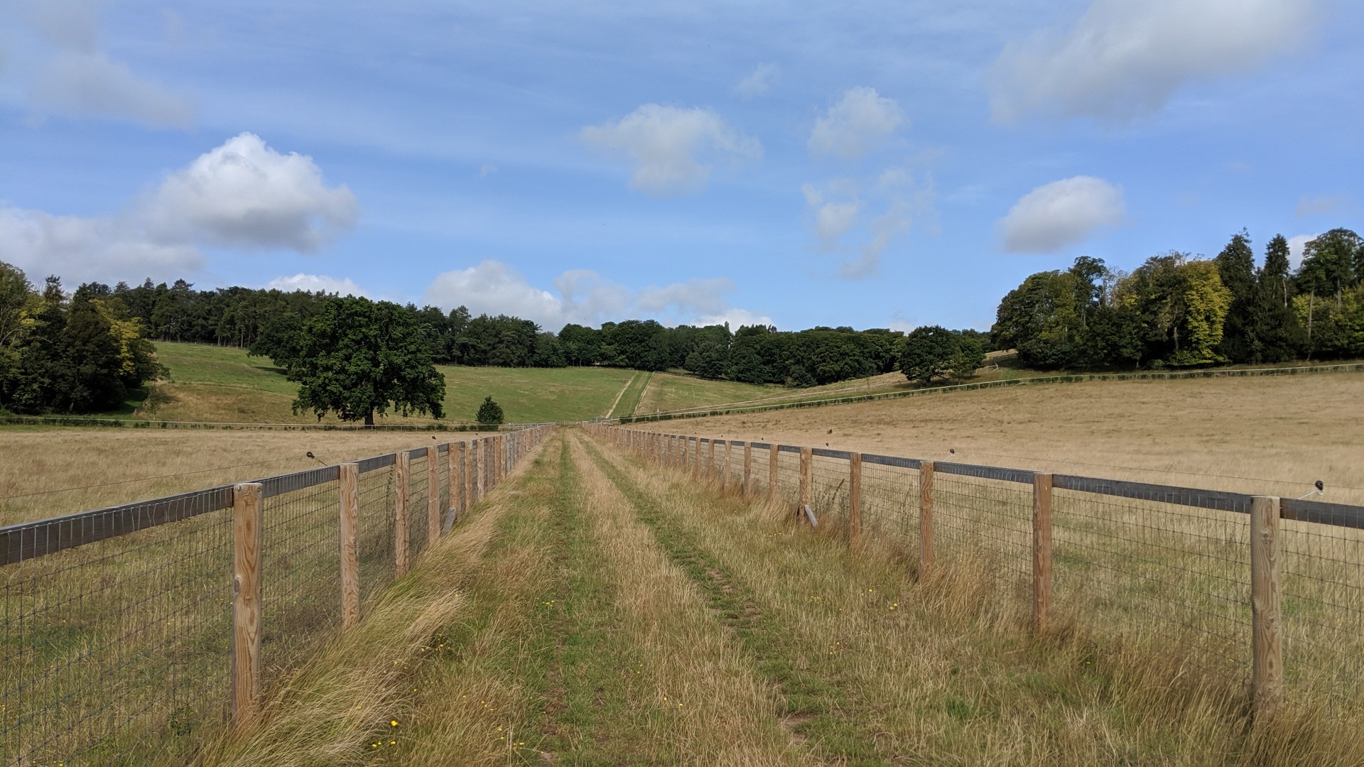
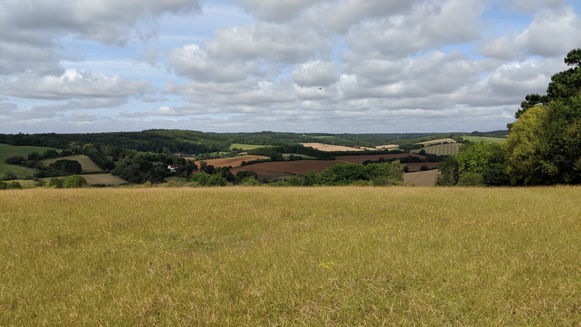
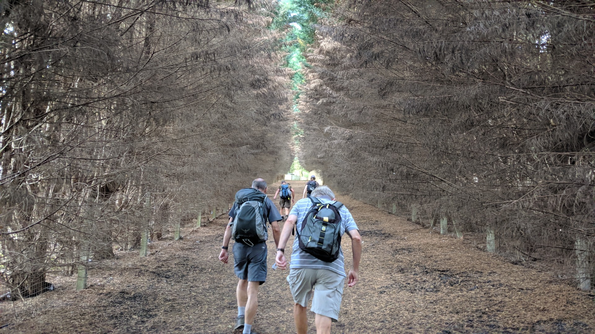
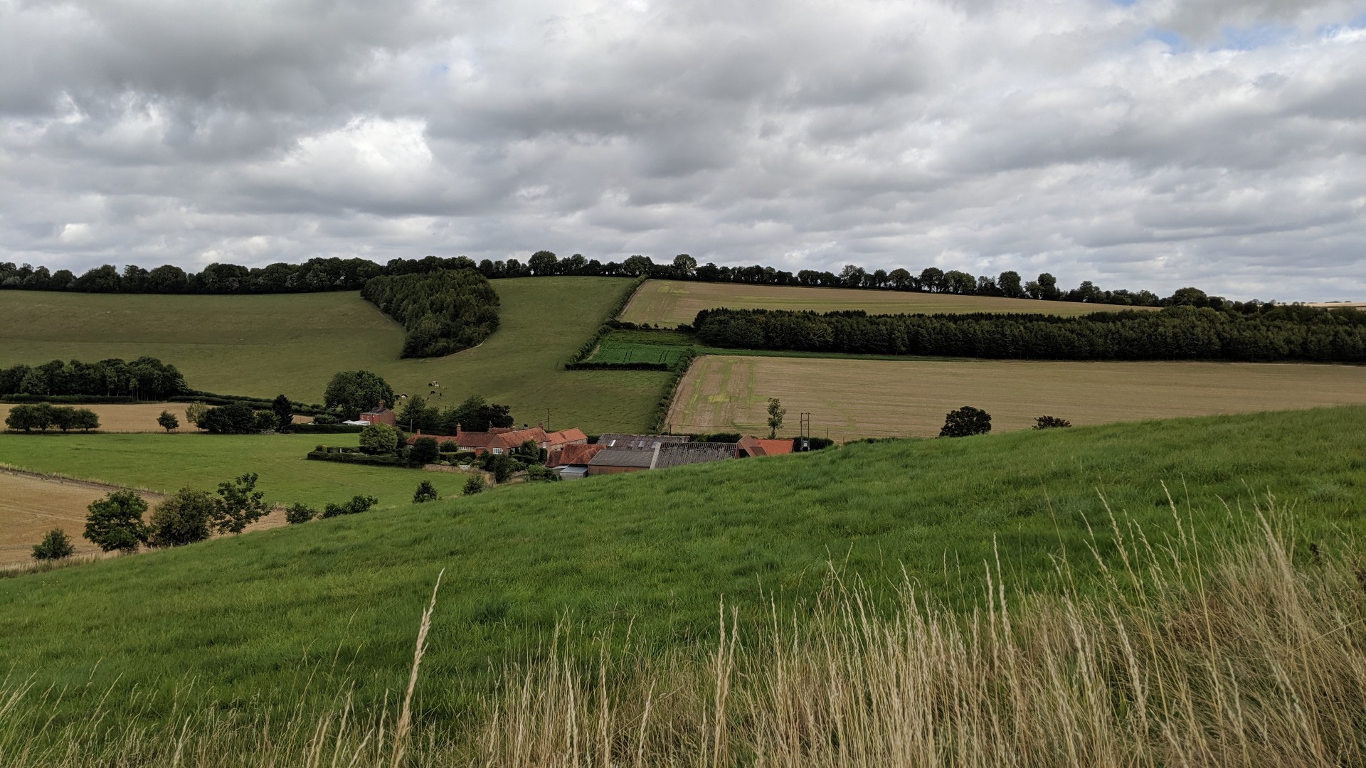
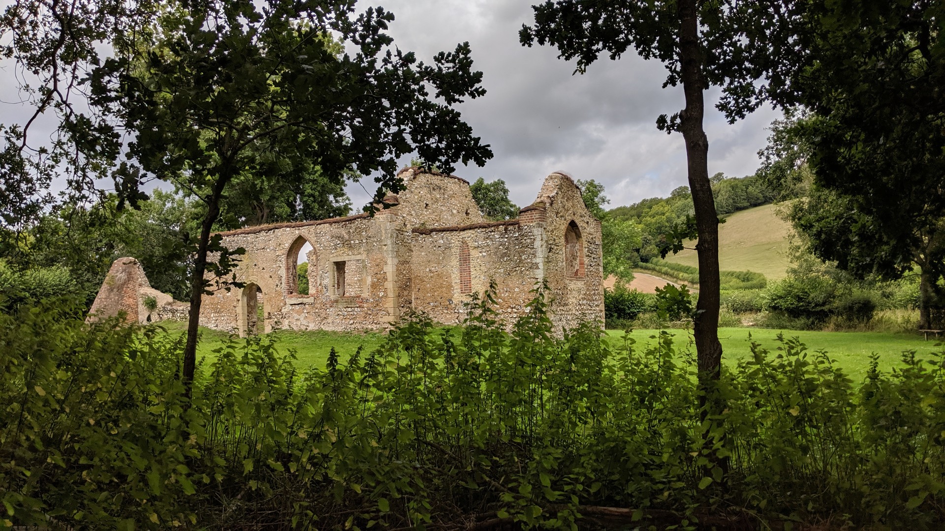
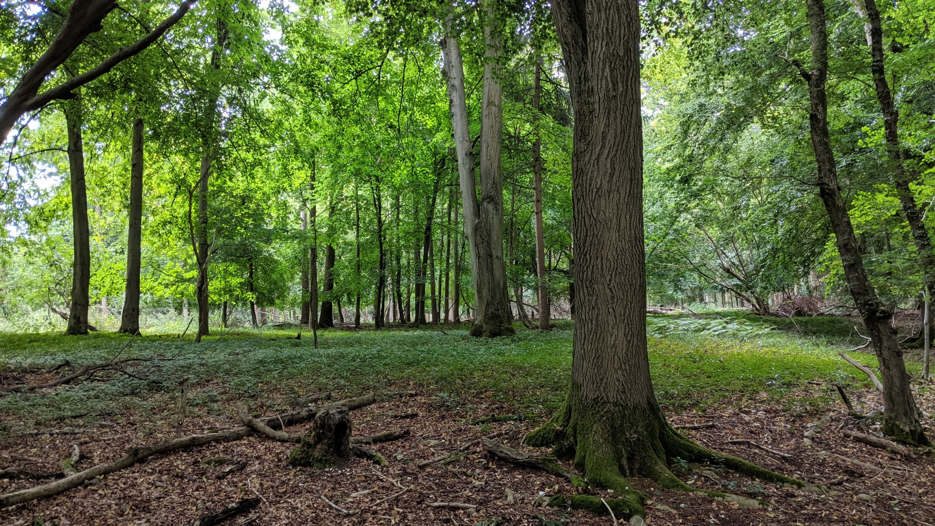
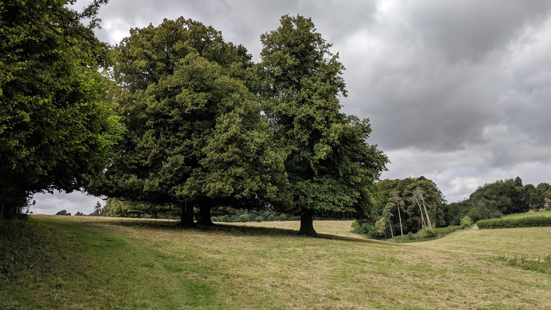
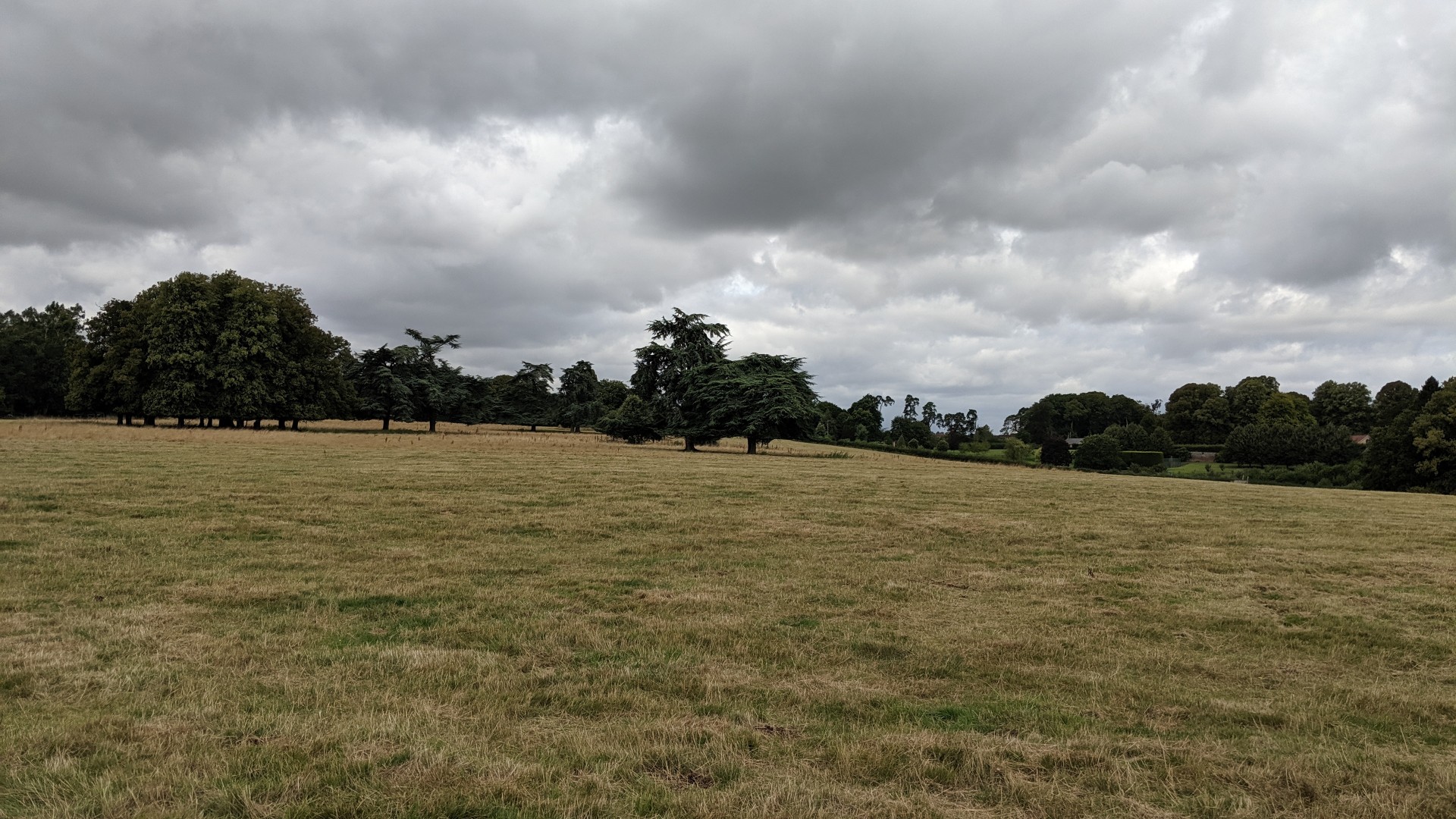
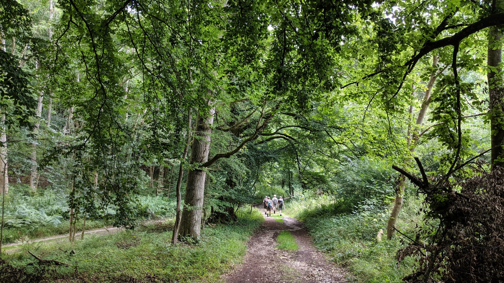
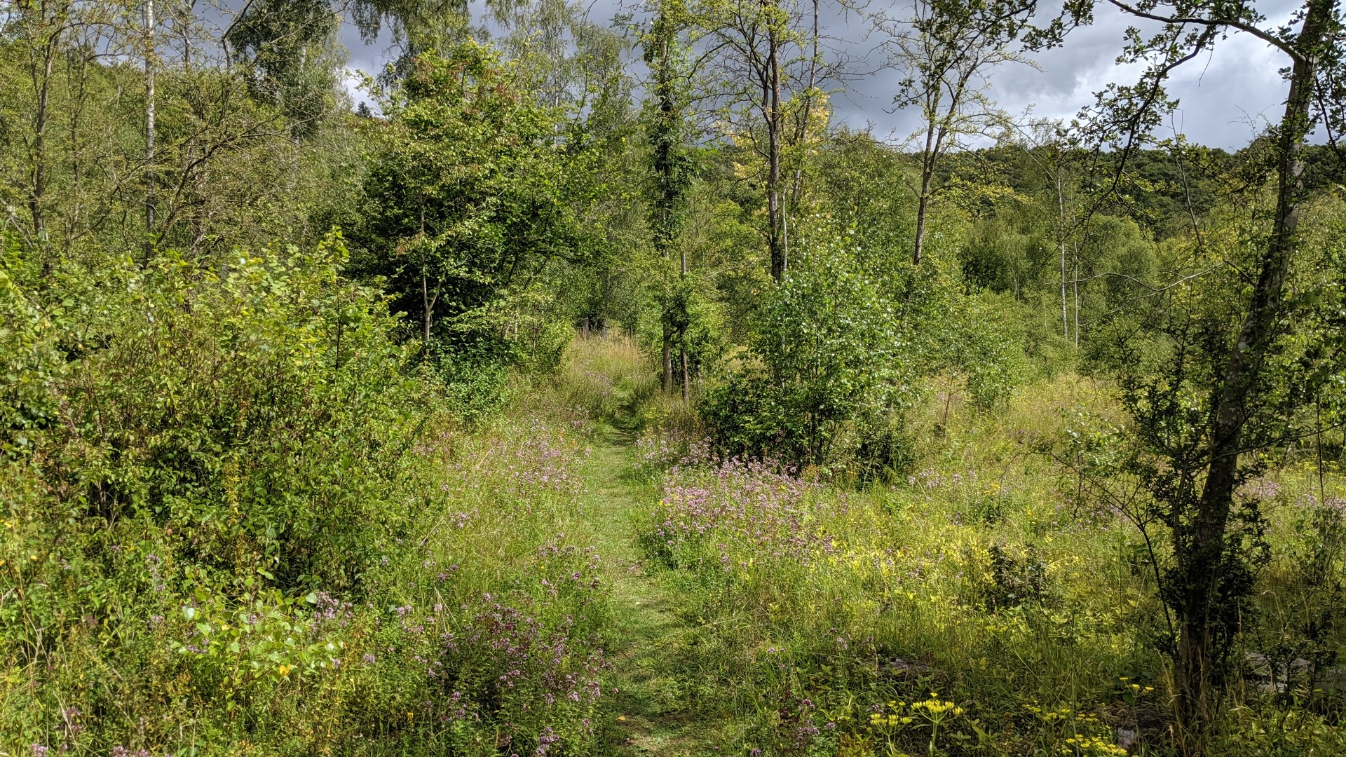
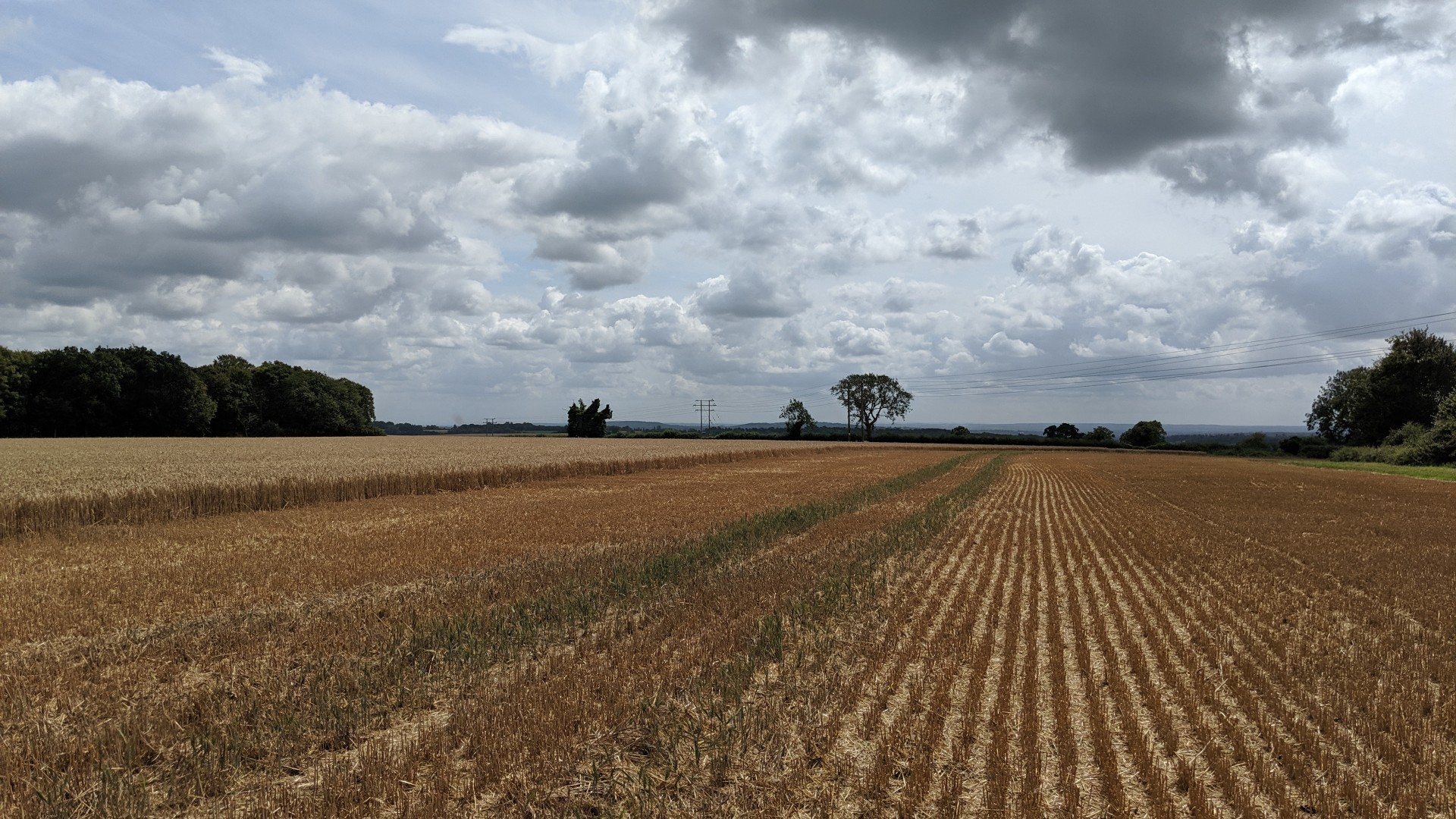
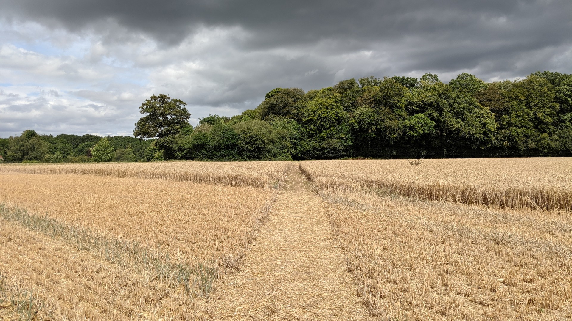
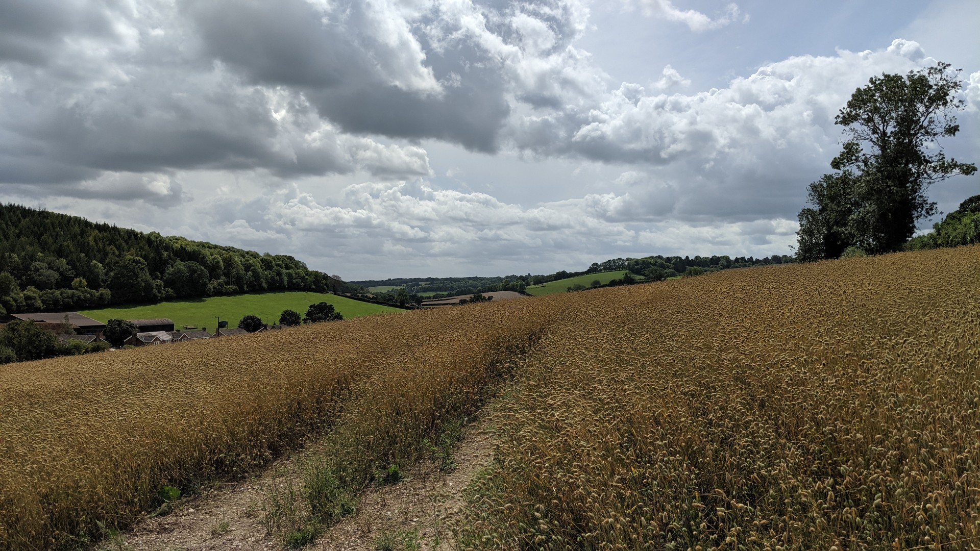
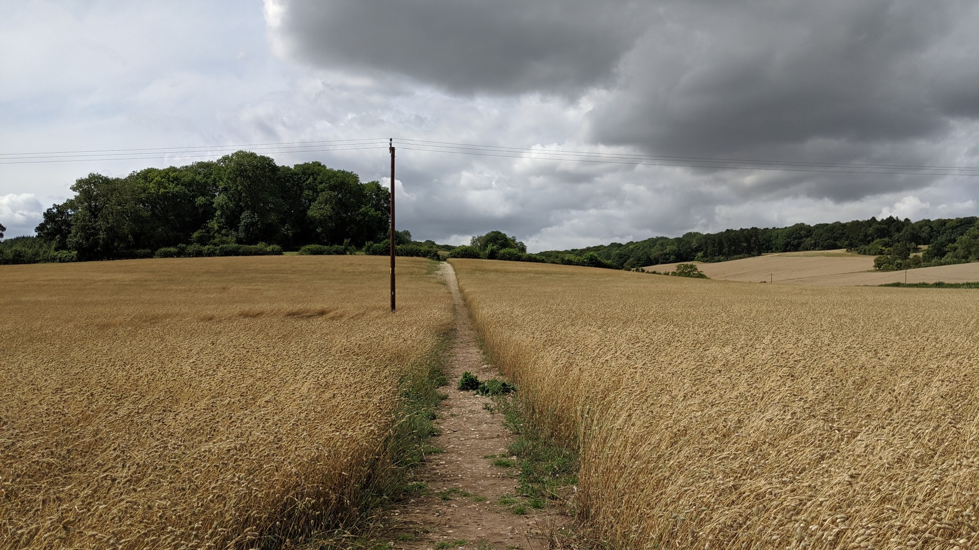
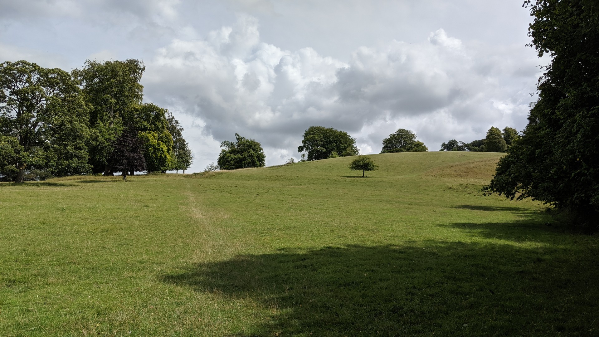
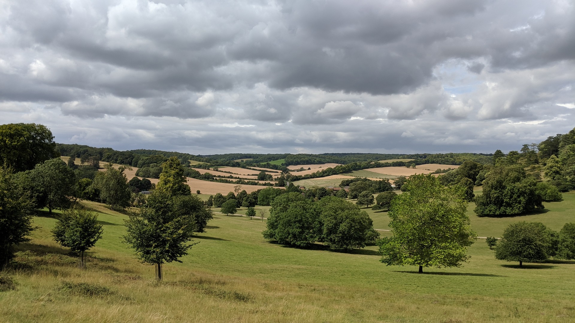
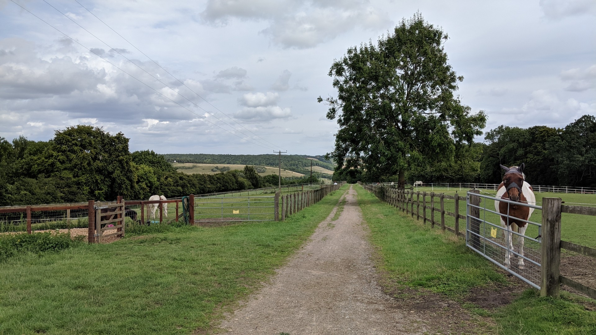
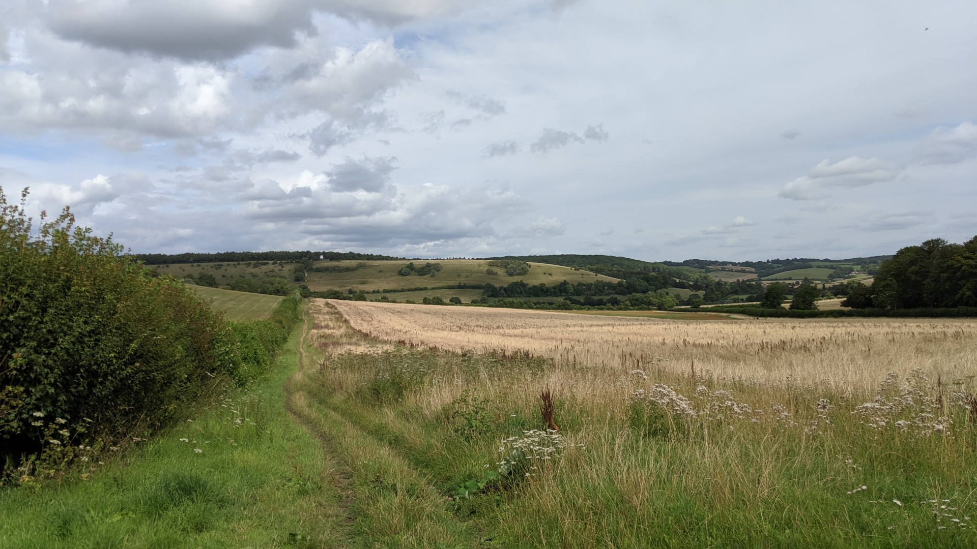
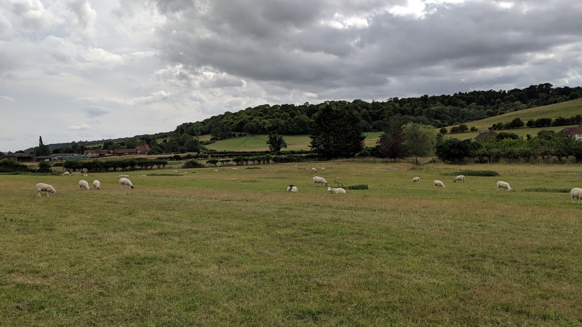
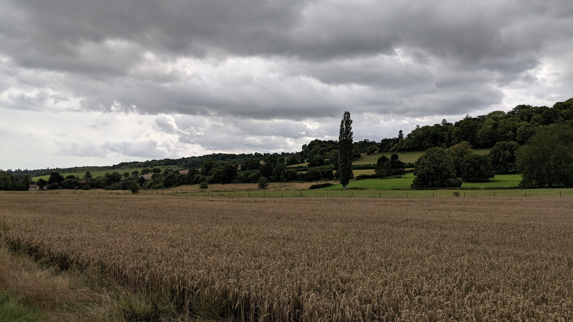
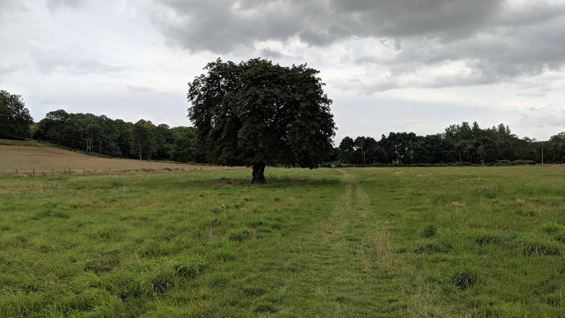
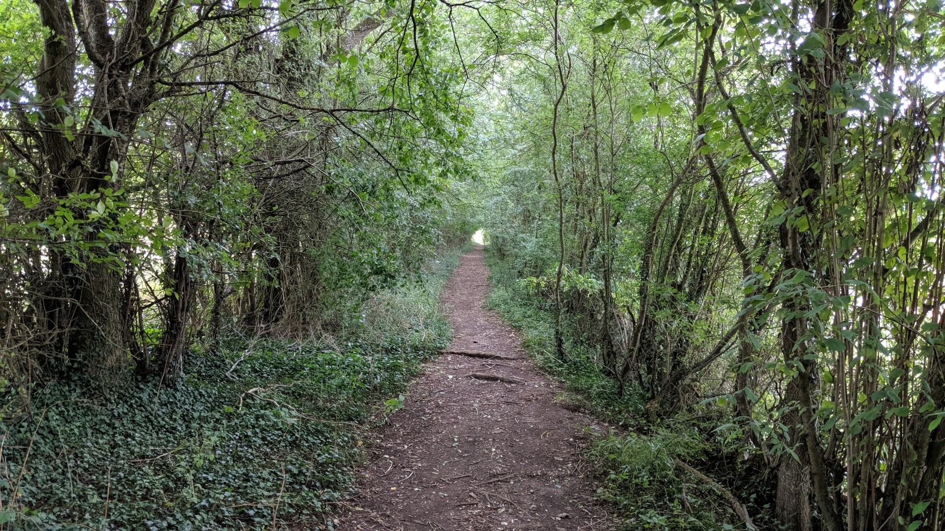
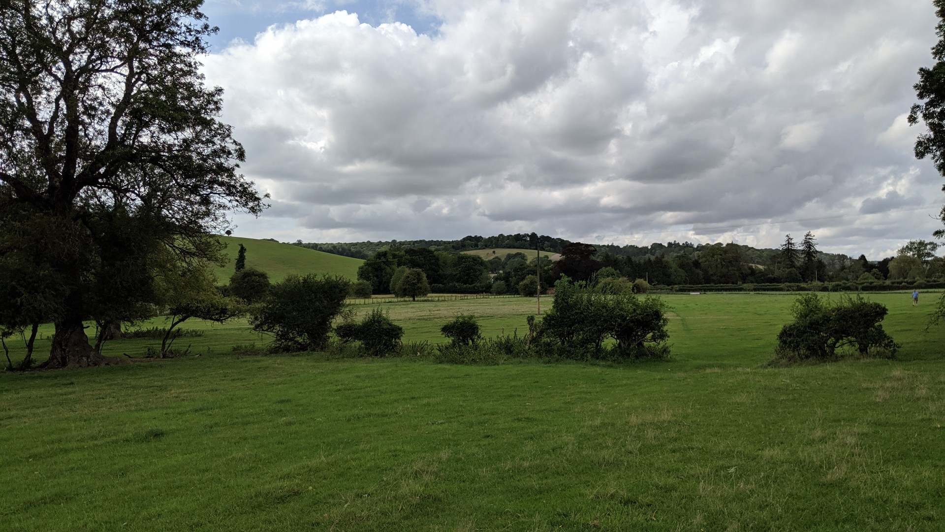
This walk, attended by a dozen people, involved finding a route between grid references and solving clues at each point. It started at Hambleden.Photos by Marcus Becker.
Gallery
Maps:
You can use the interactive controls to zoom in and out and to move around the map, or click on a marker for more info. (interactive map help)
Contains Ordnance Survey data © Crown copyright and database right 2016.
© OpenStreetMap contributors under Open Database Licence.
Rights of way data from selected Local Authorities.
Large scale digital mapping is provided by John Thorn.
© OpenStreetMap contributors under Open Database Licence.
Rights of way data from selected Local Authorities.
Large scale digital mapping is provided by John Thorn.


