
Streatley and Downs
Sun 14th Jul 2019
Walk Details:
Event Type
Group Walk
Region
Southern England
Local Group
Thames Valley
Distance
c20 or c15ml.
Start Time
09.00
Route
Goring Village c.p
General Notes
Shorter walk is at a gentler pace
Web Site
Start and Finish
Entry Details:
Cost
Walk Report
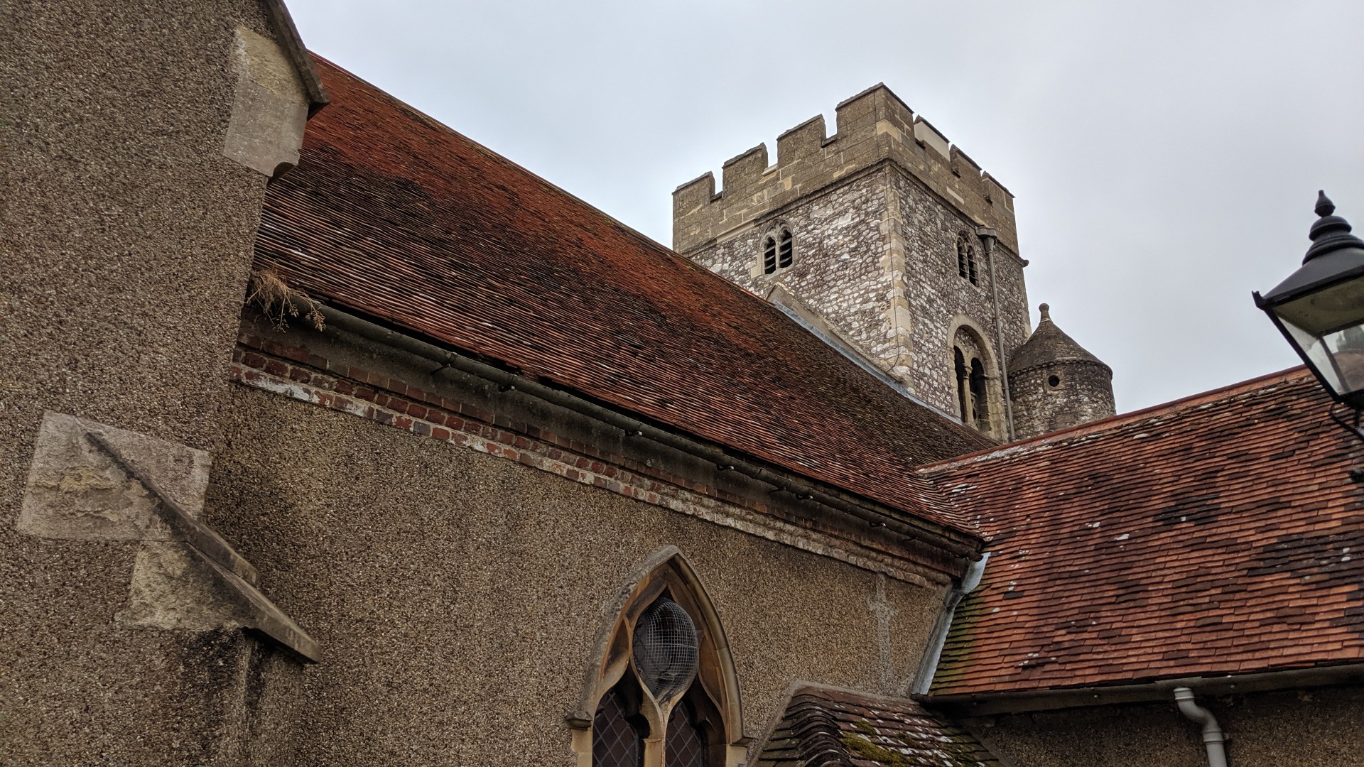
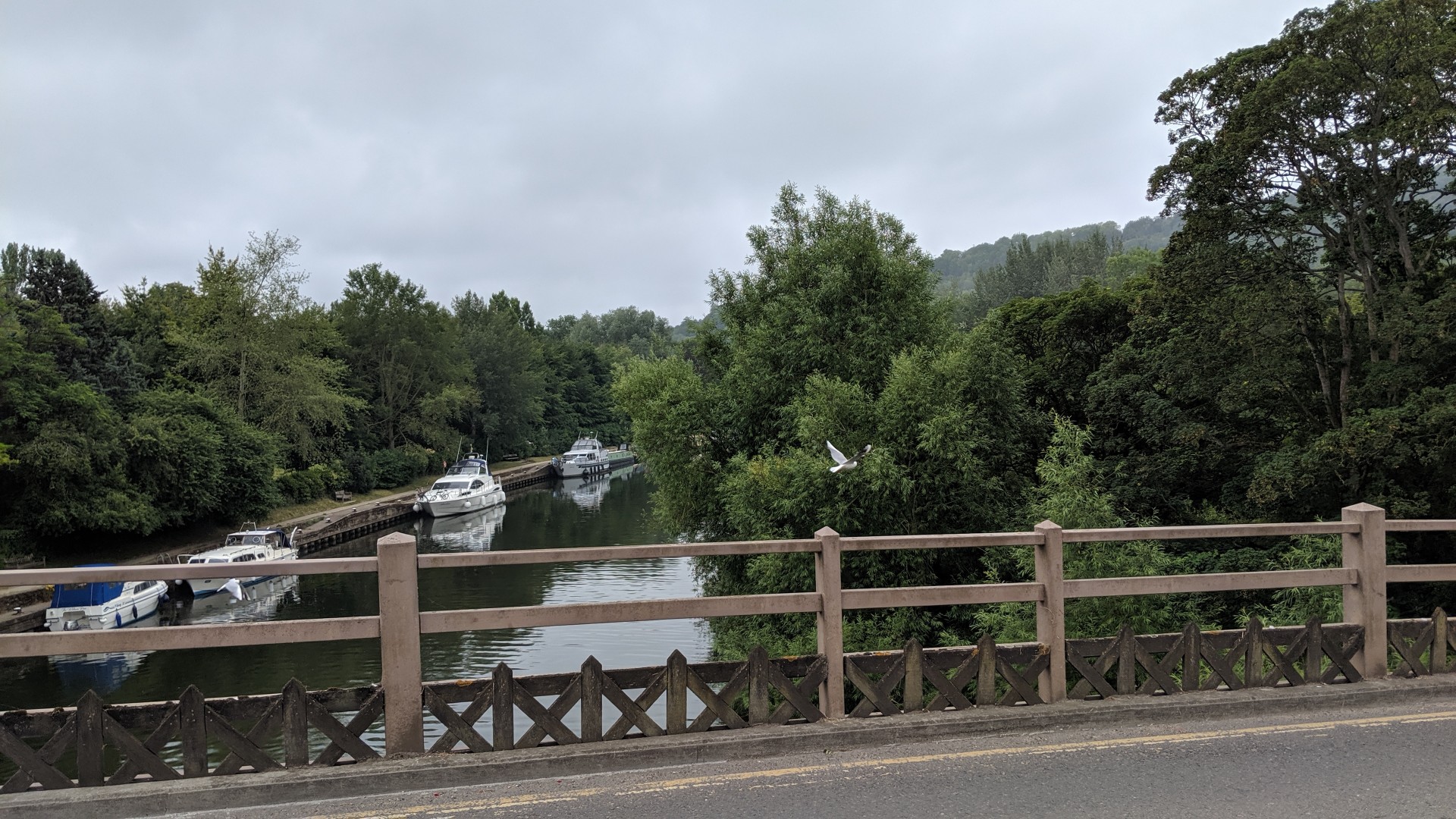
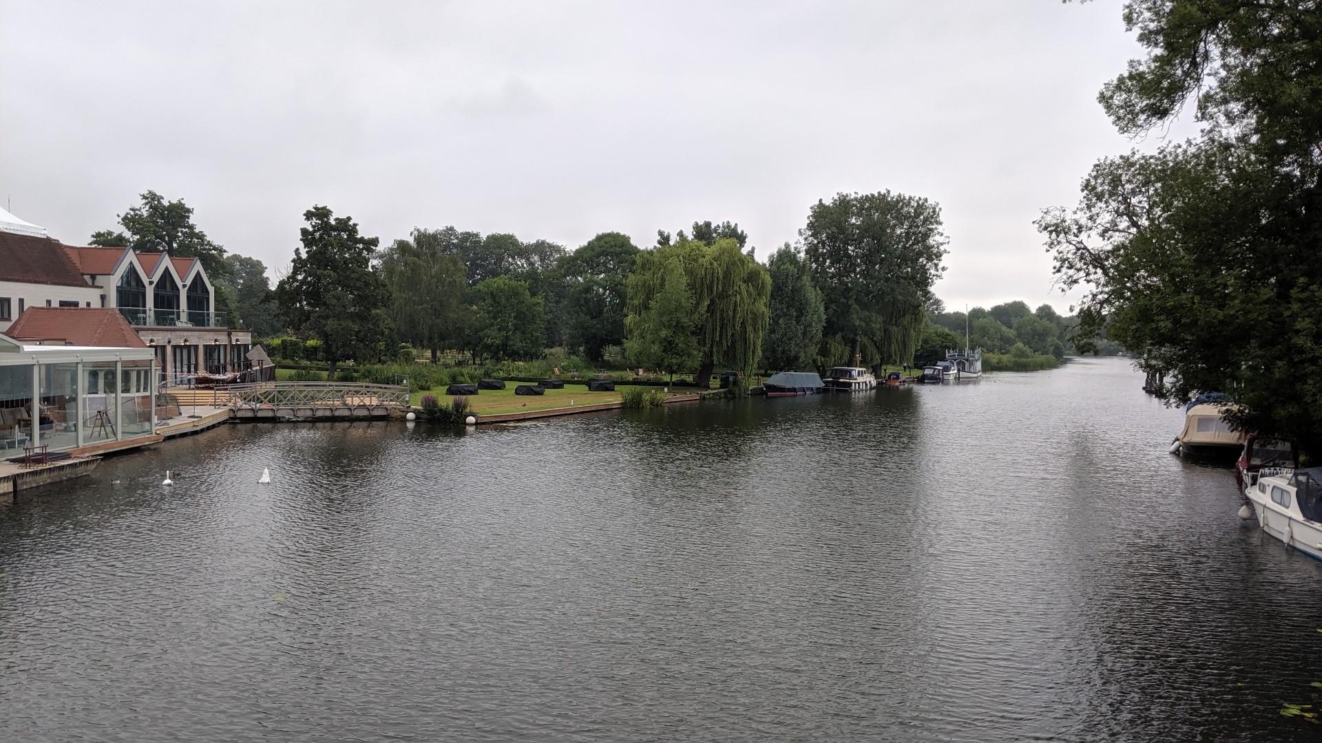
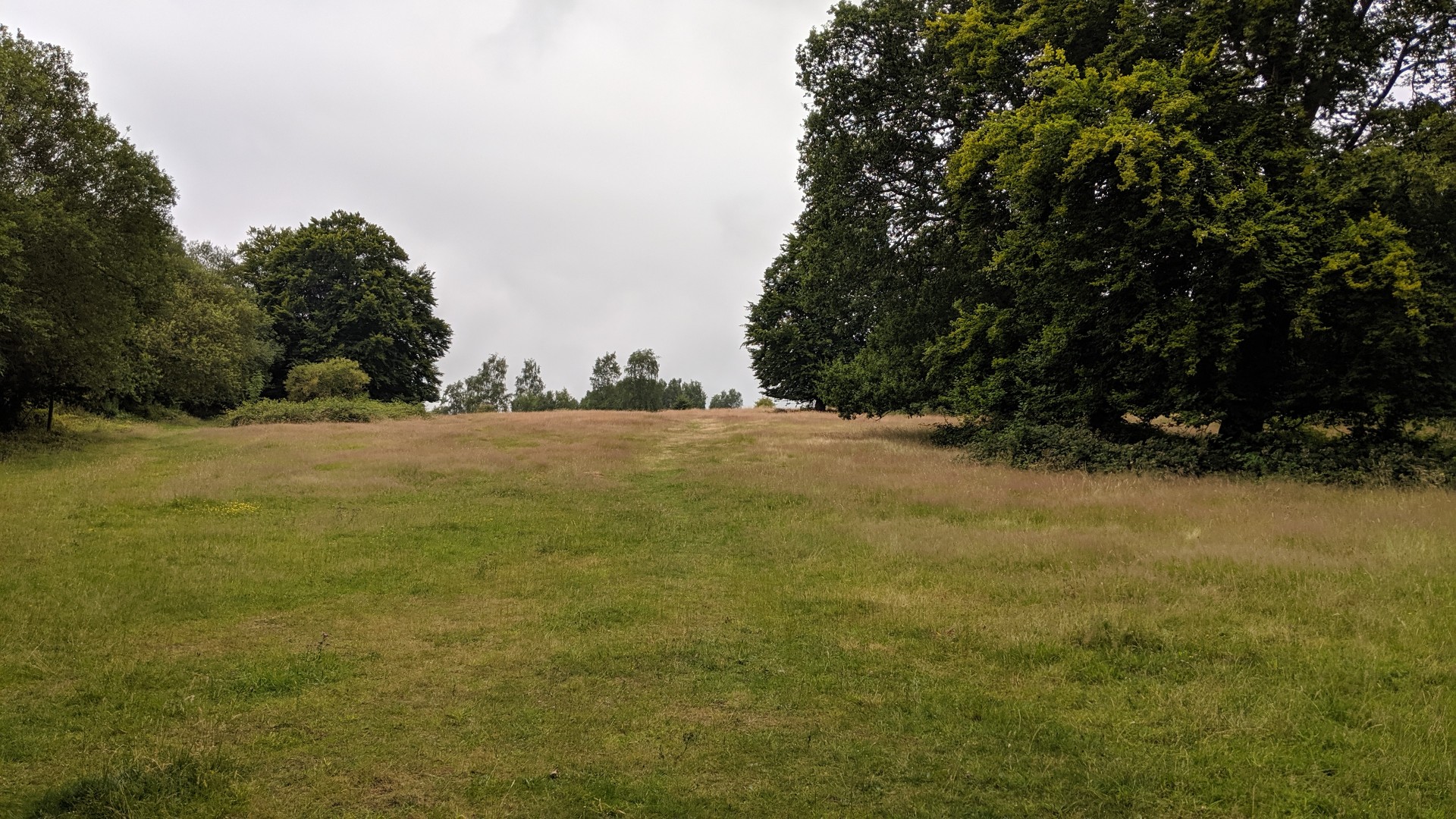
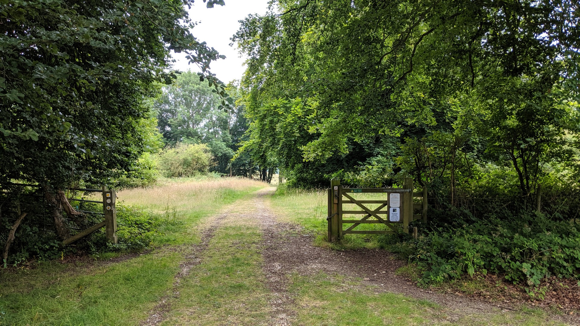
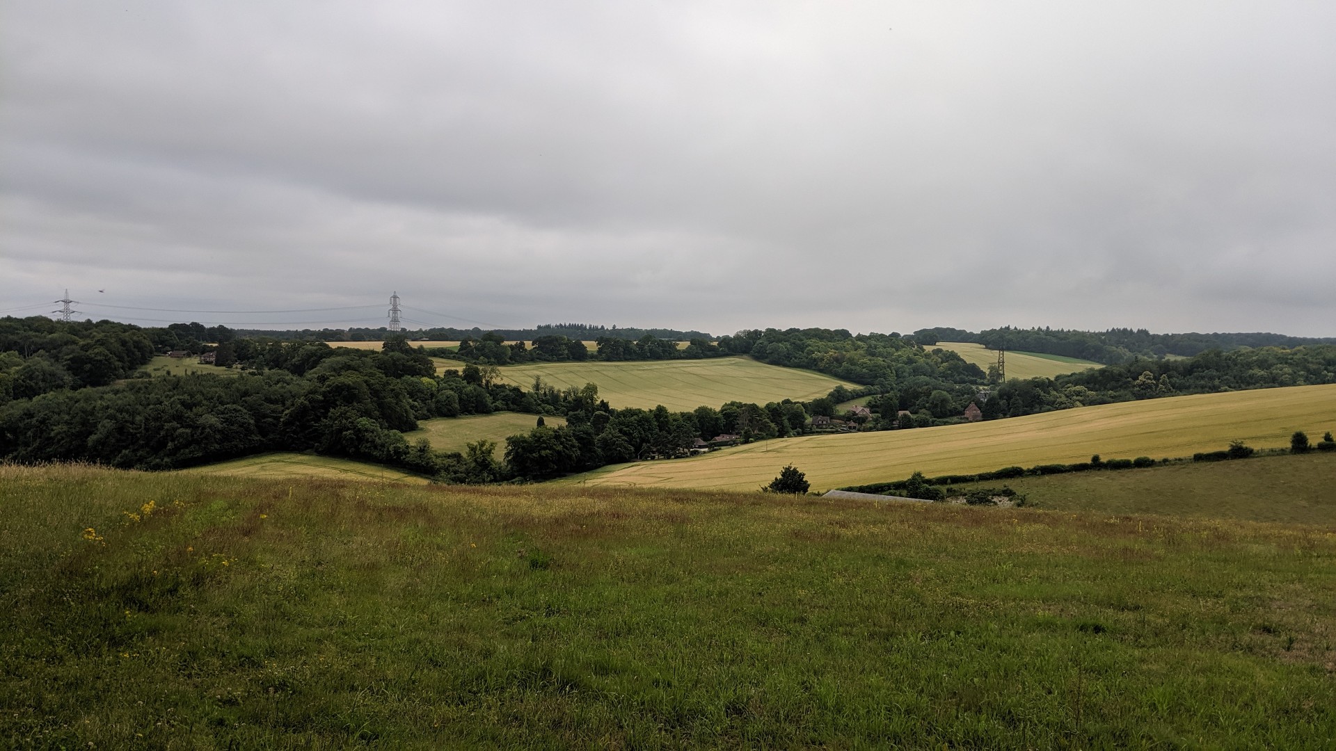
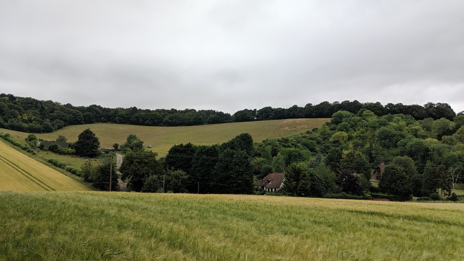
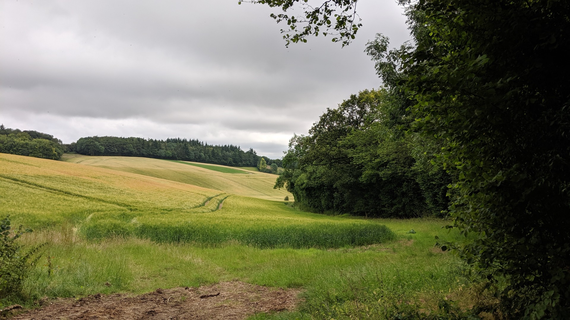
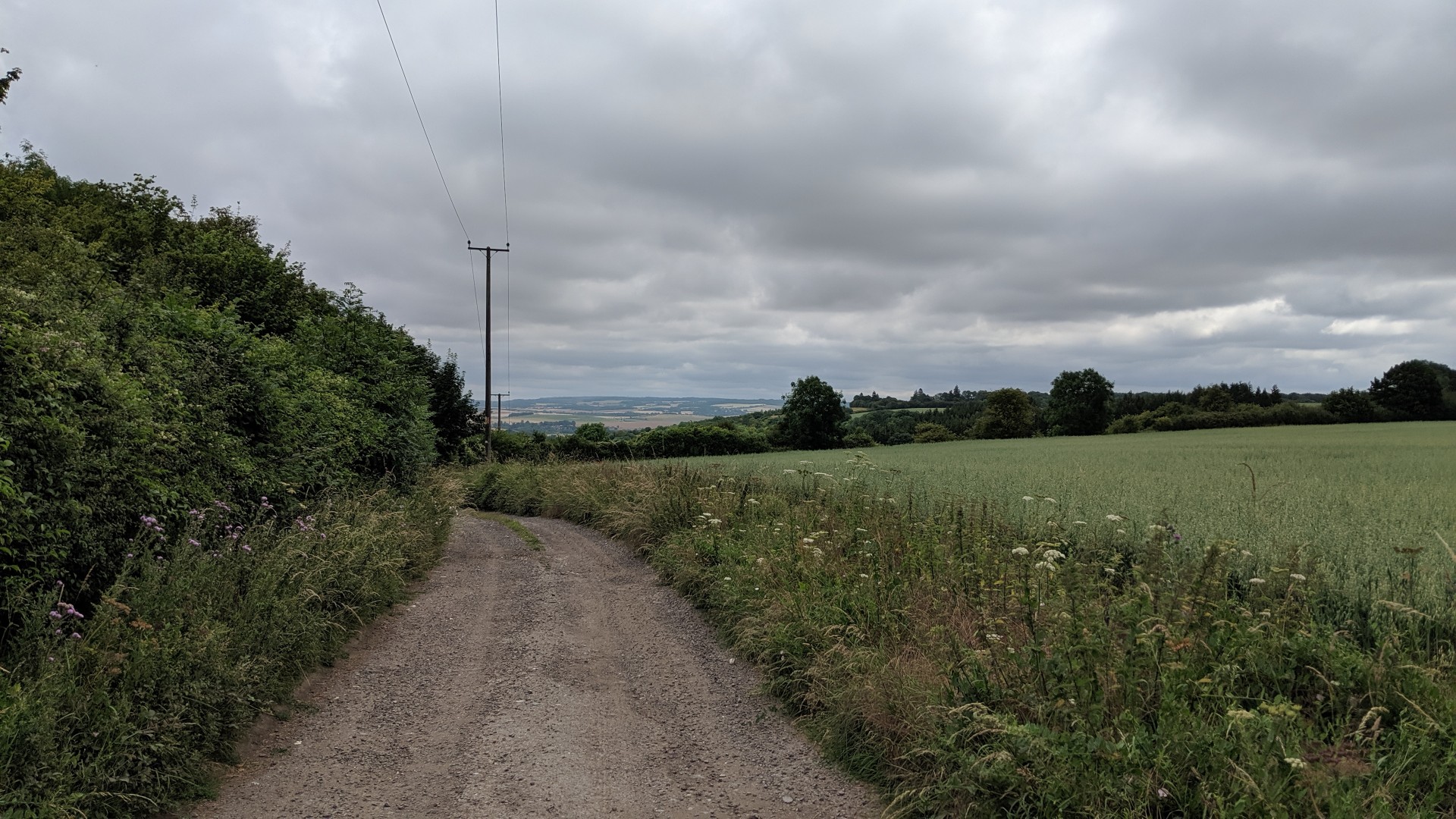
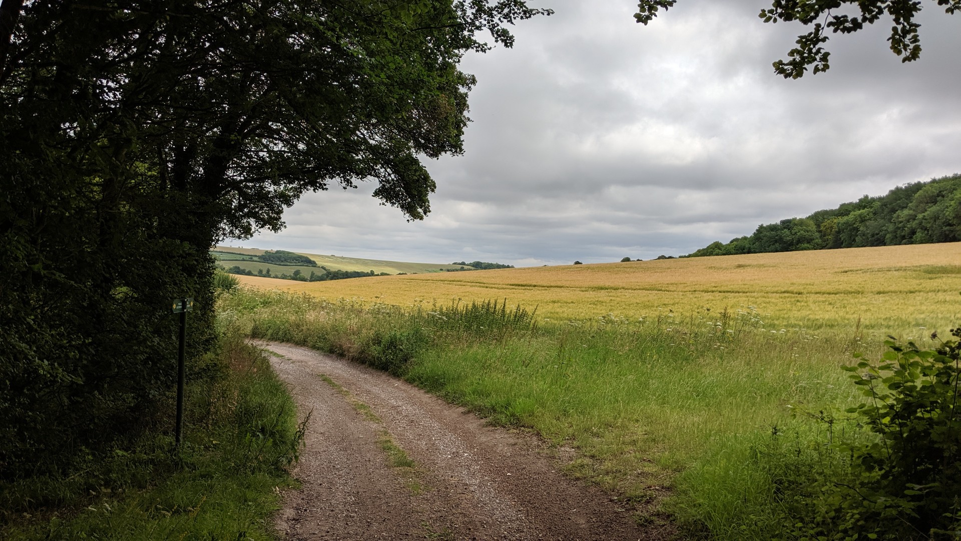
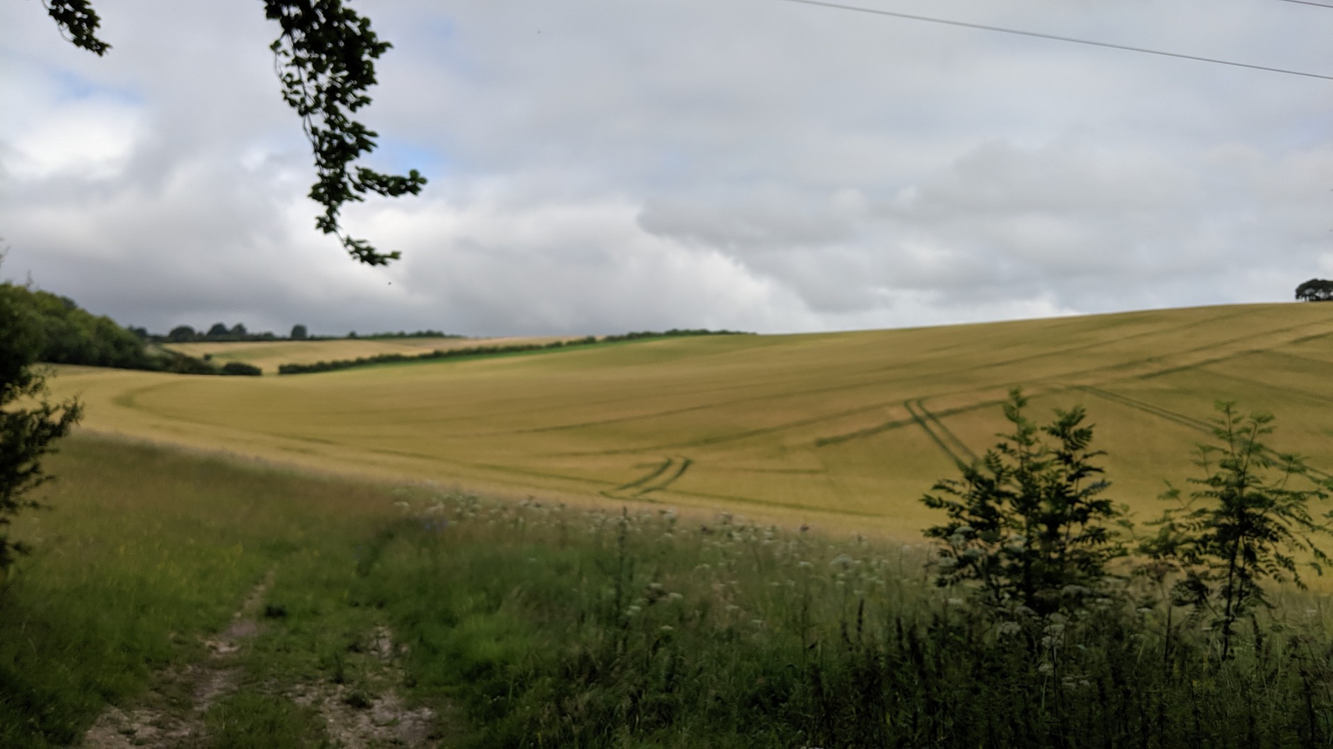
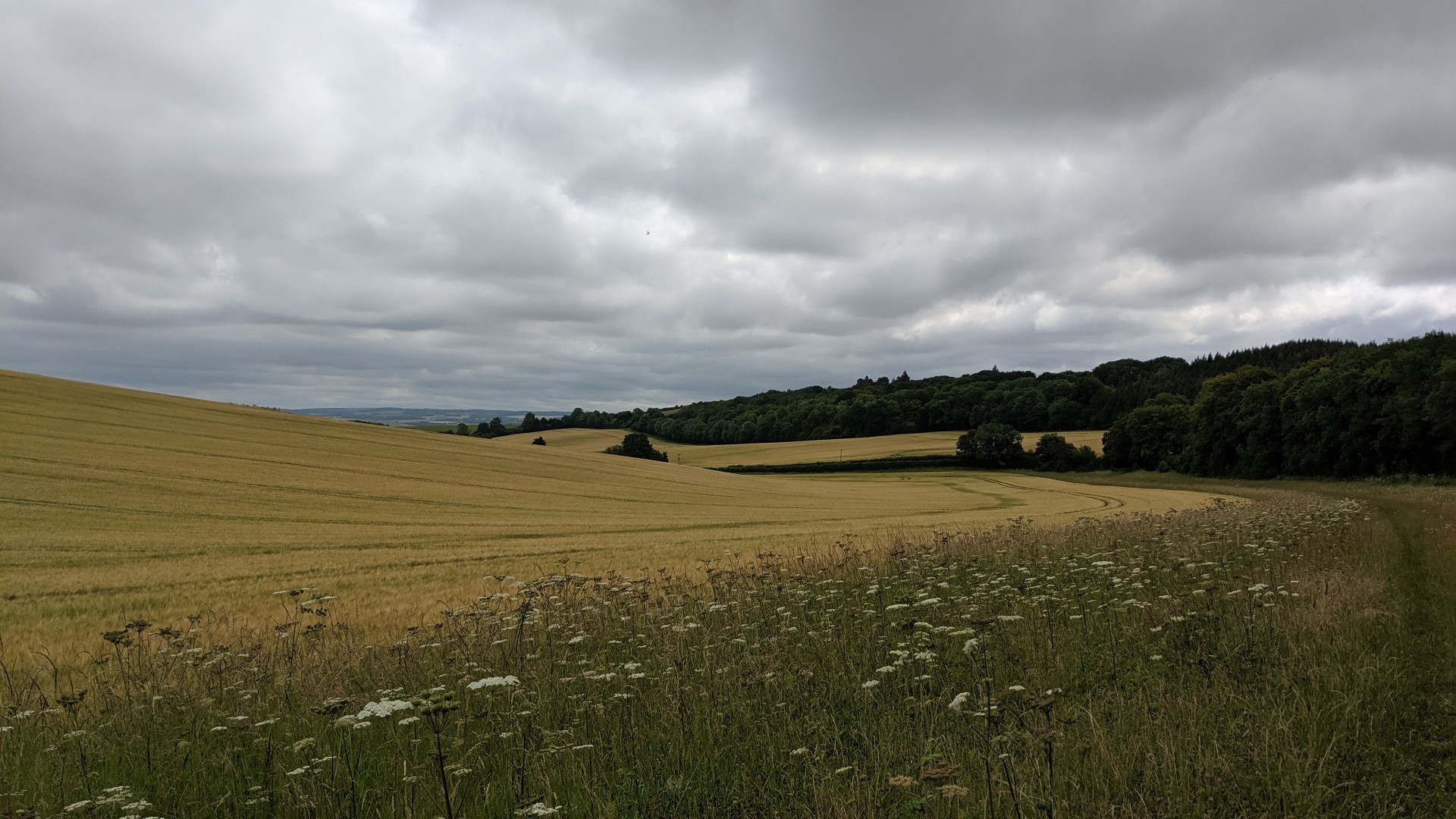
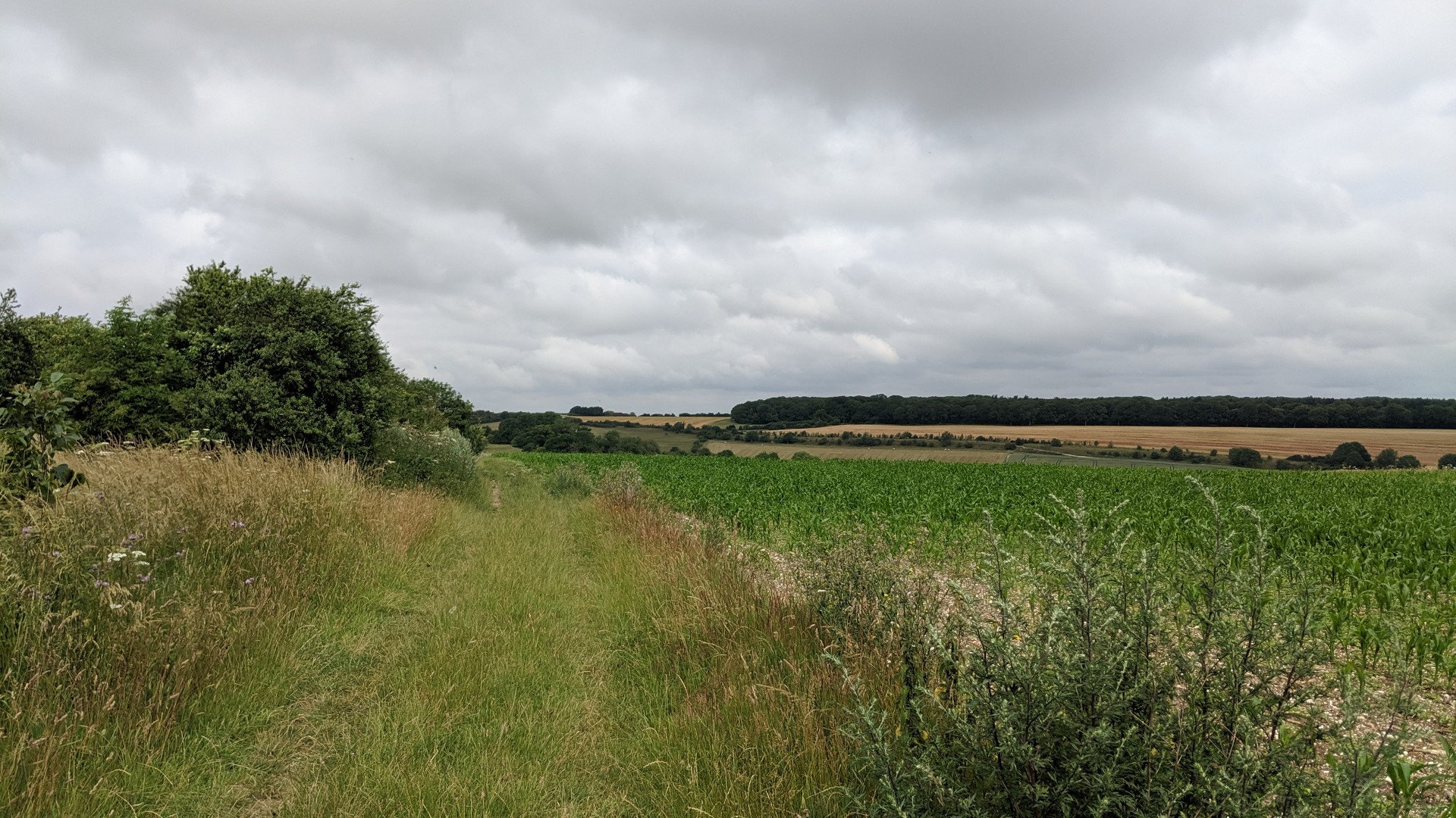
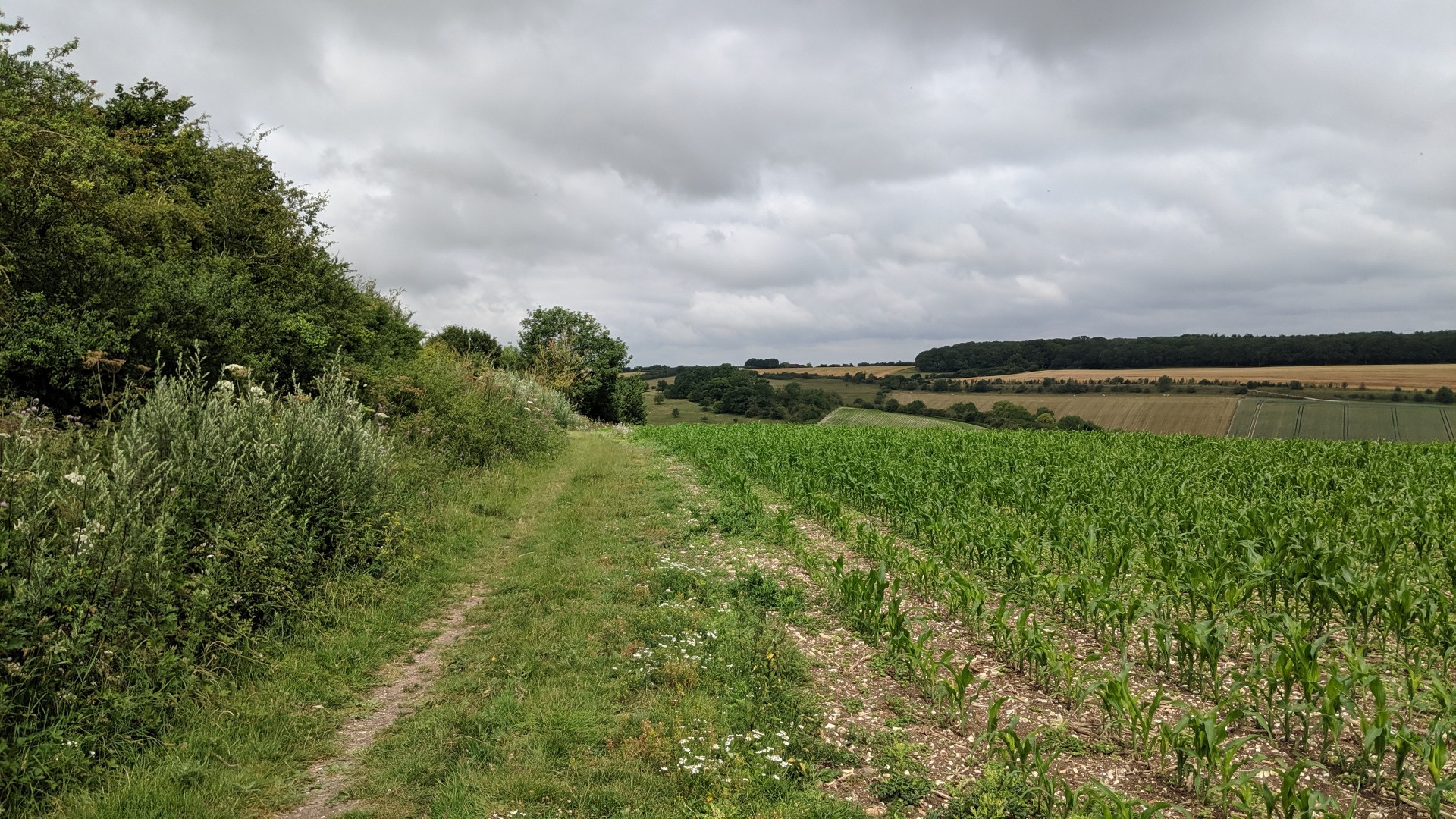
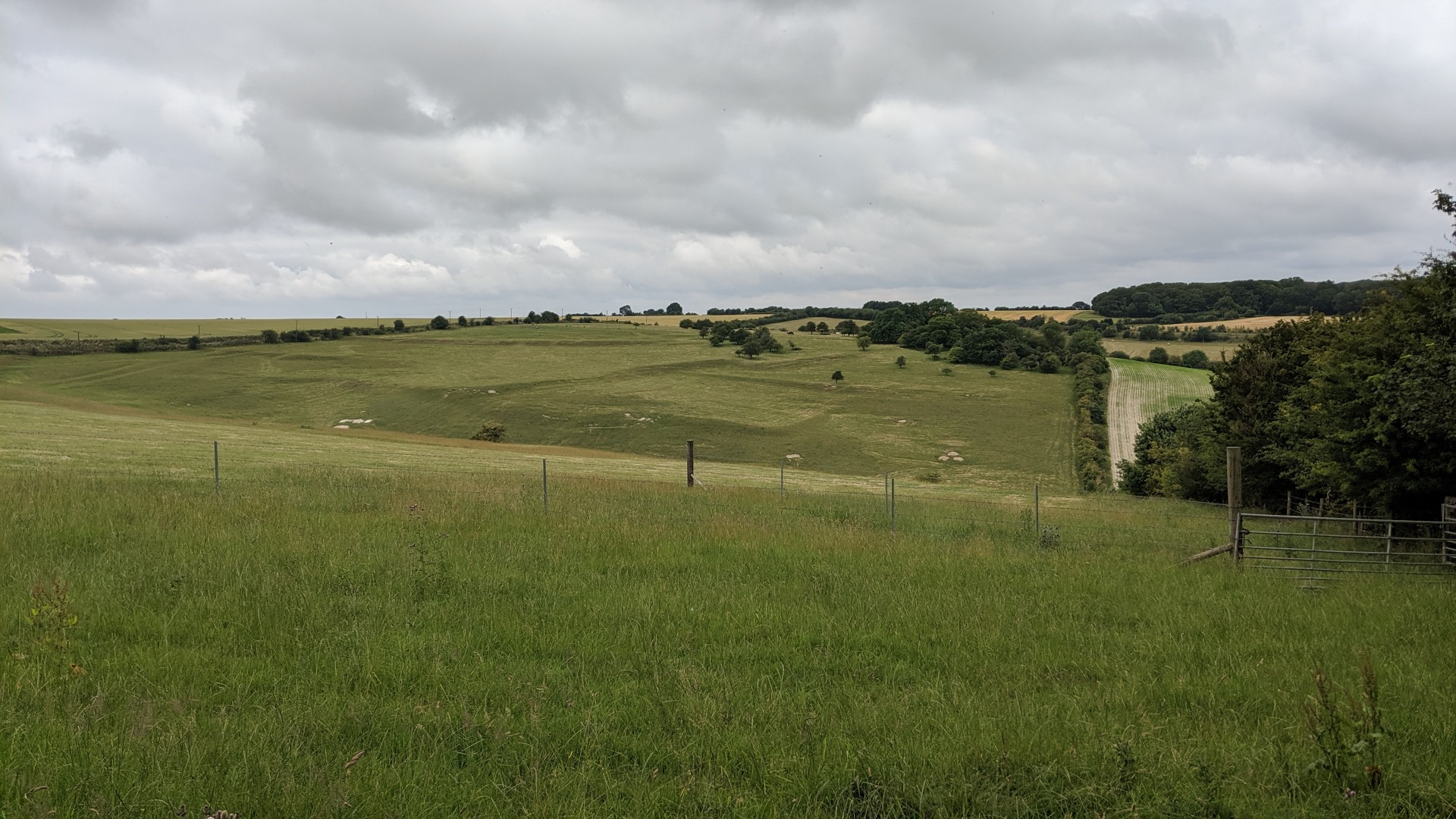
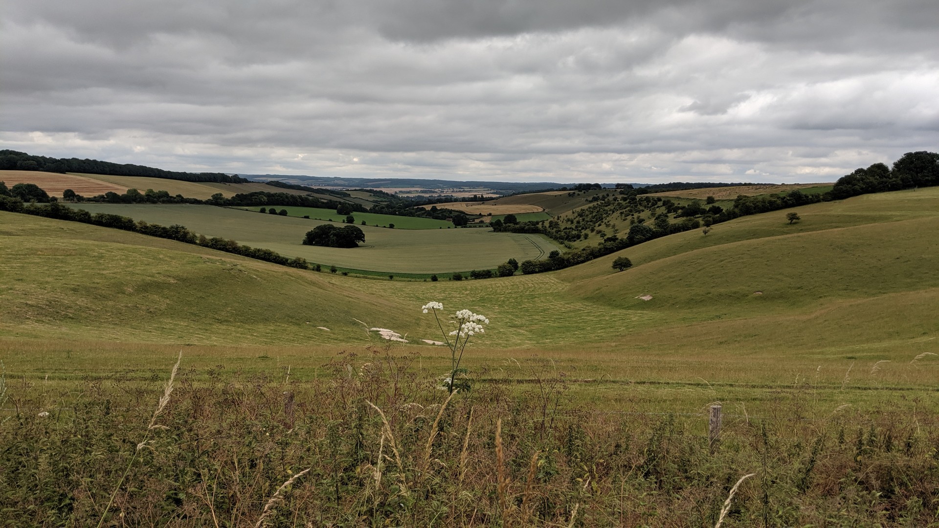
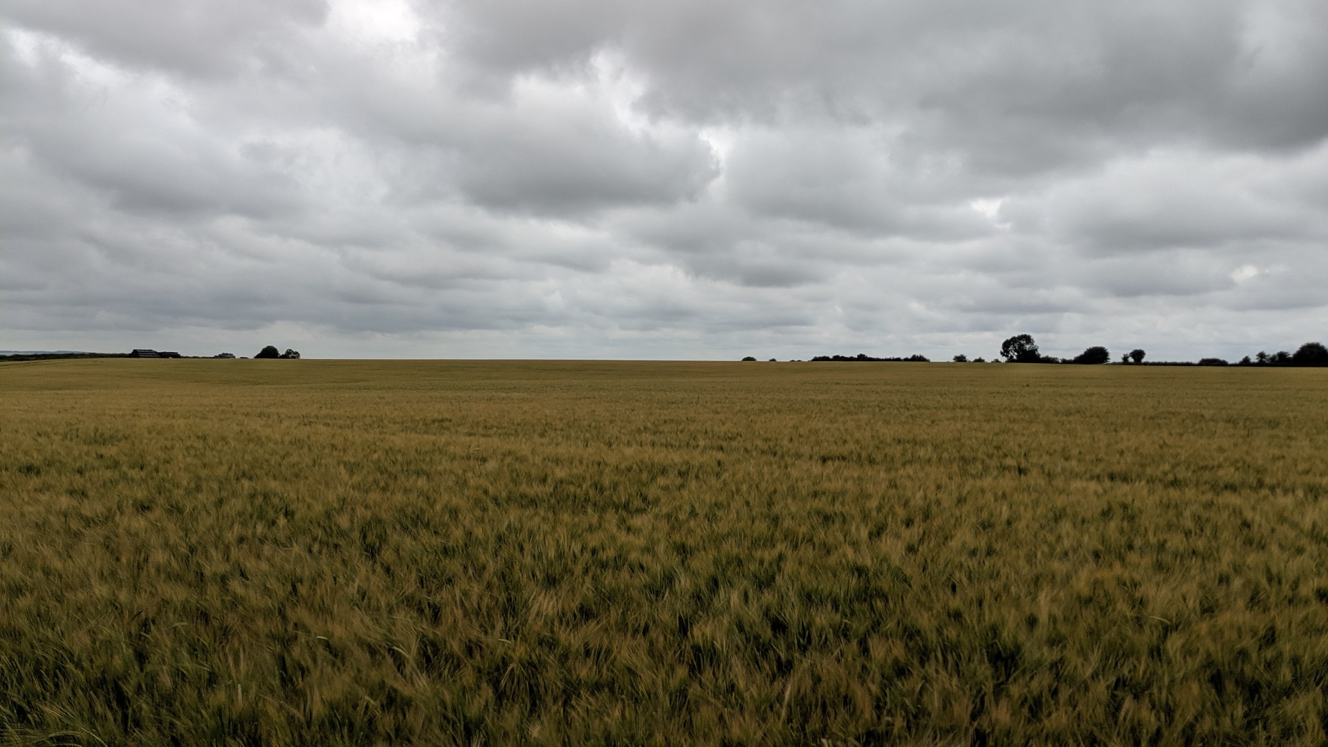
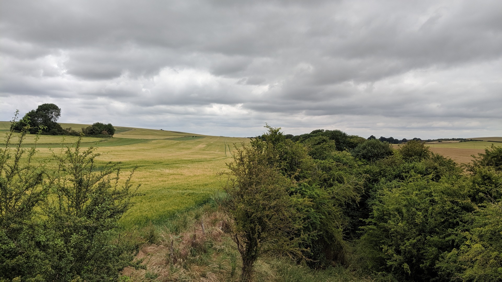
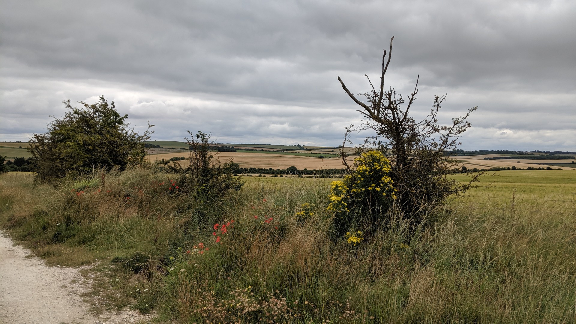
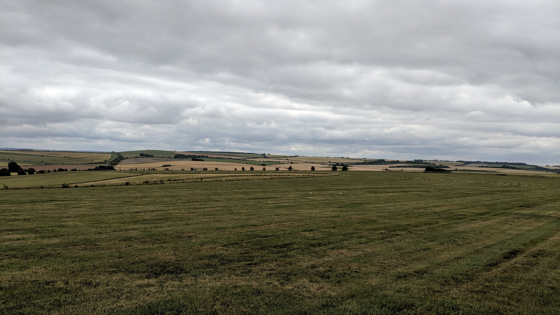
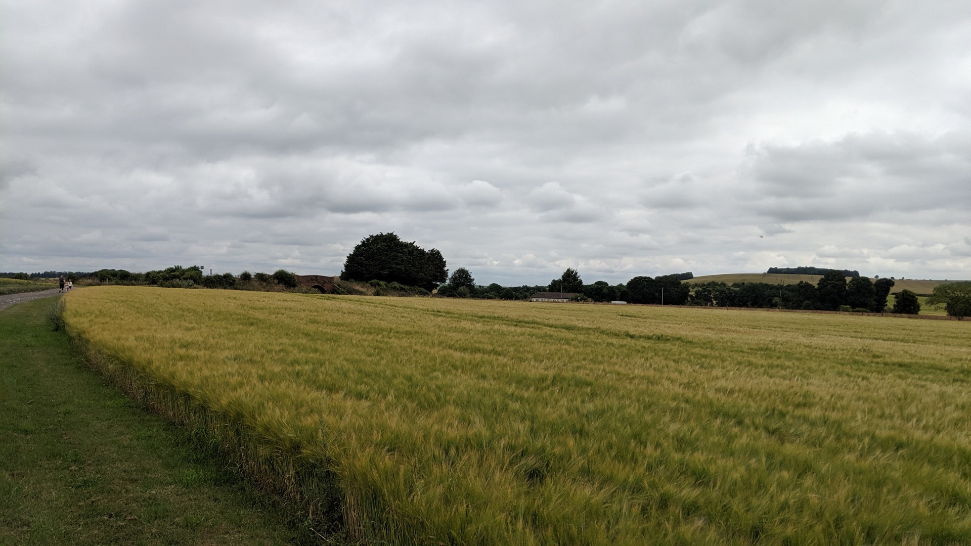
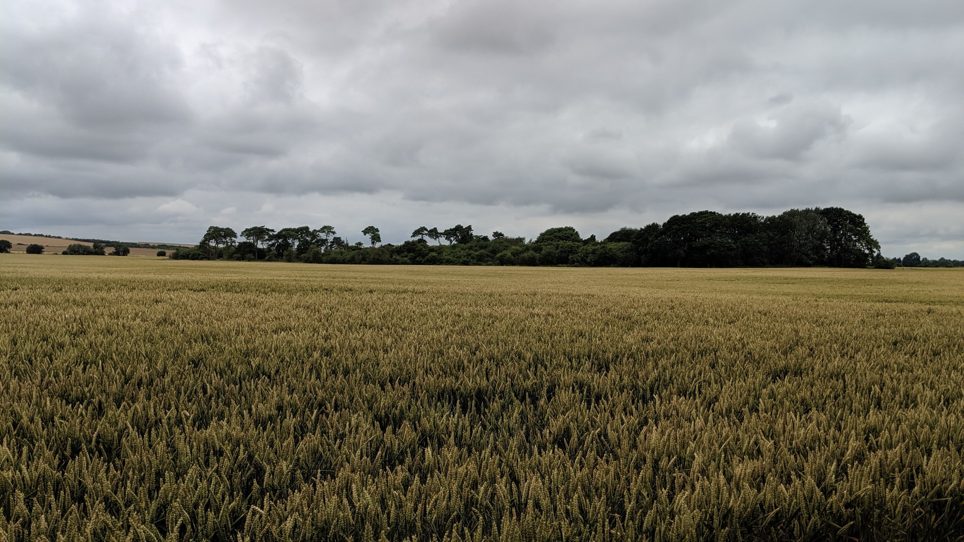
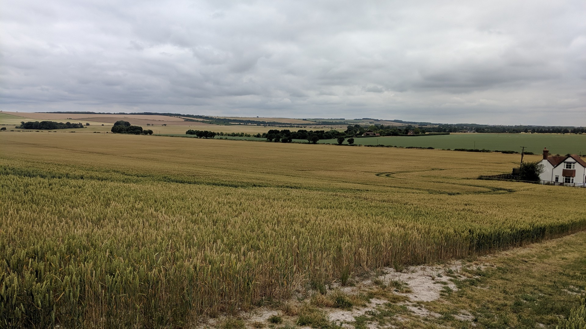
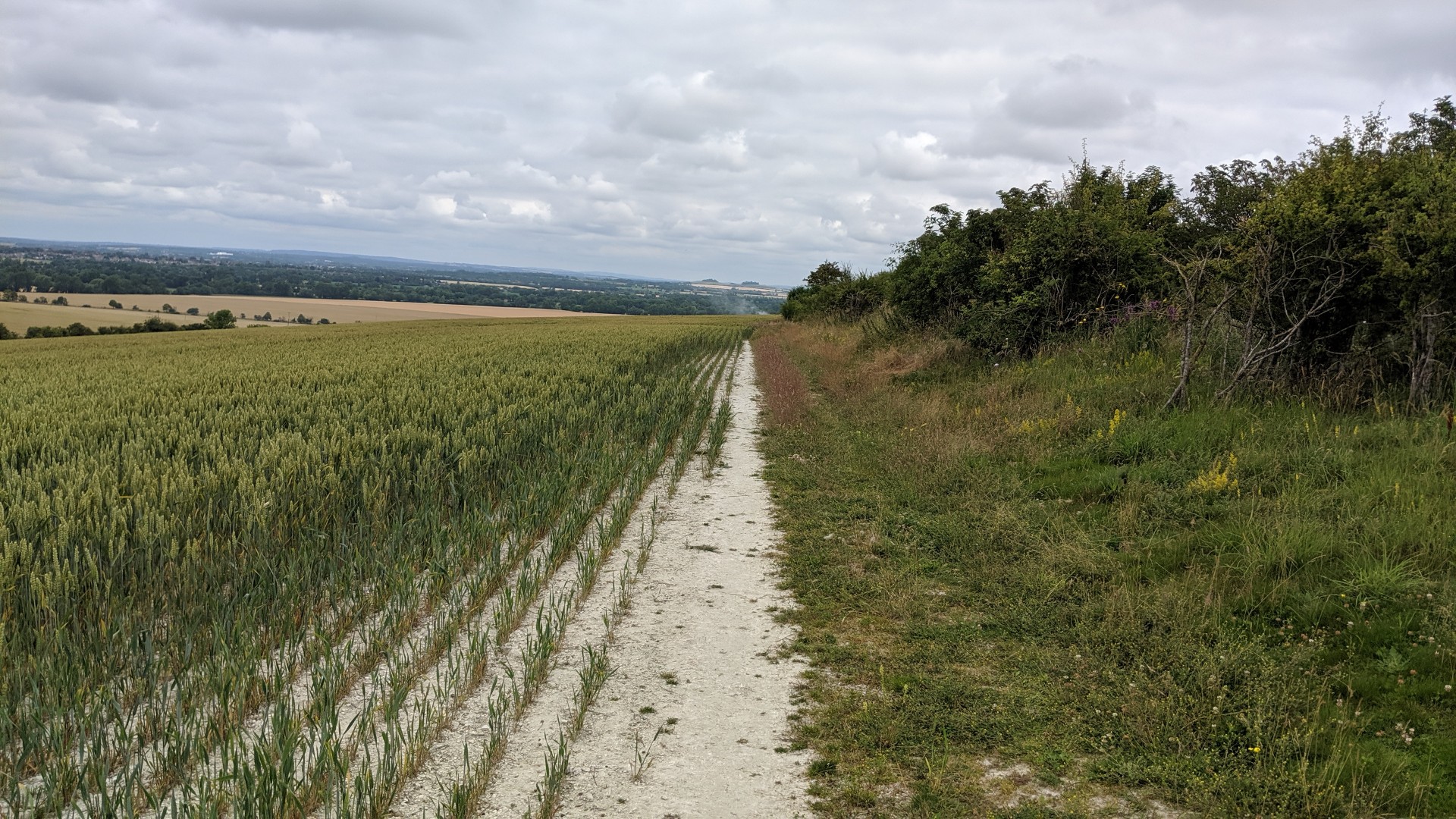
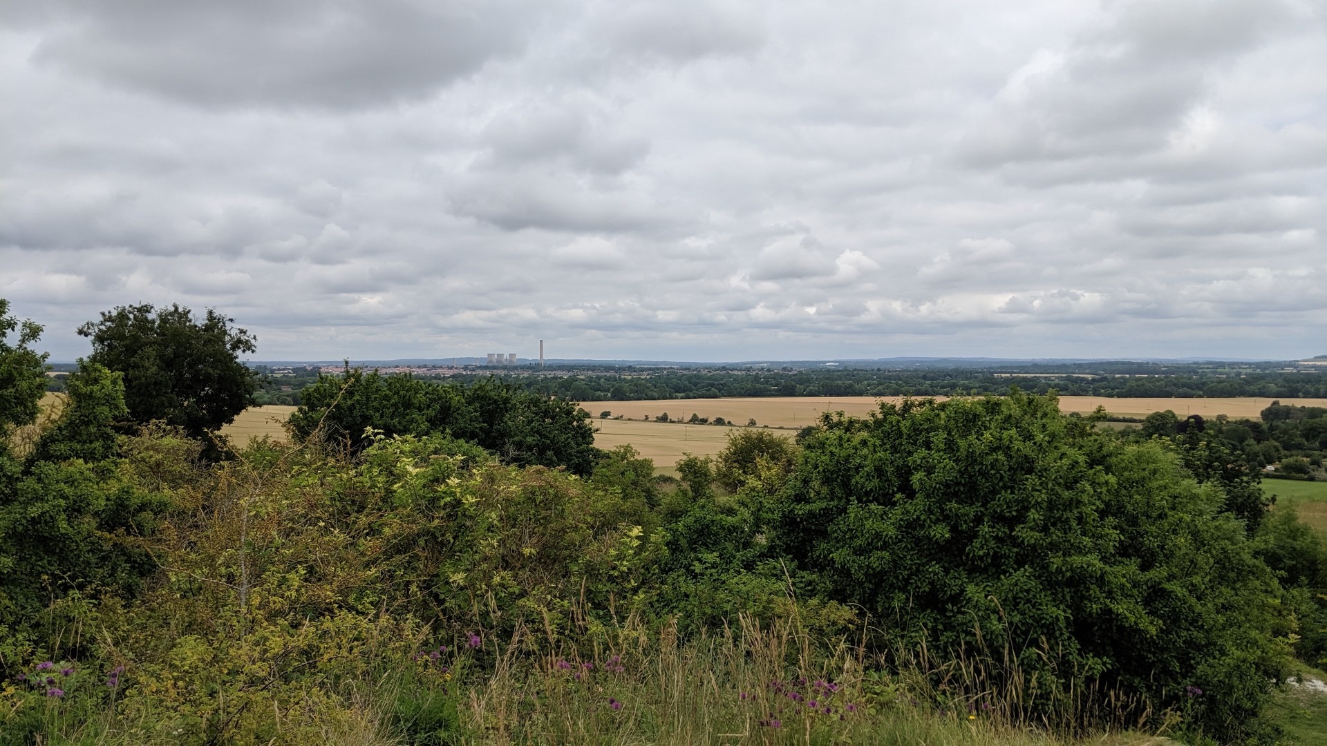
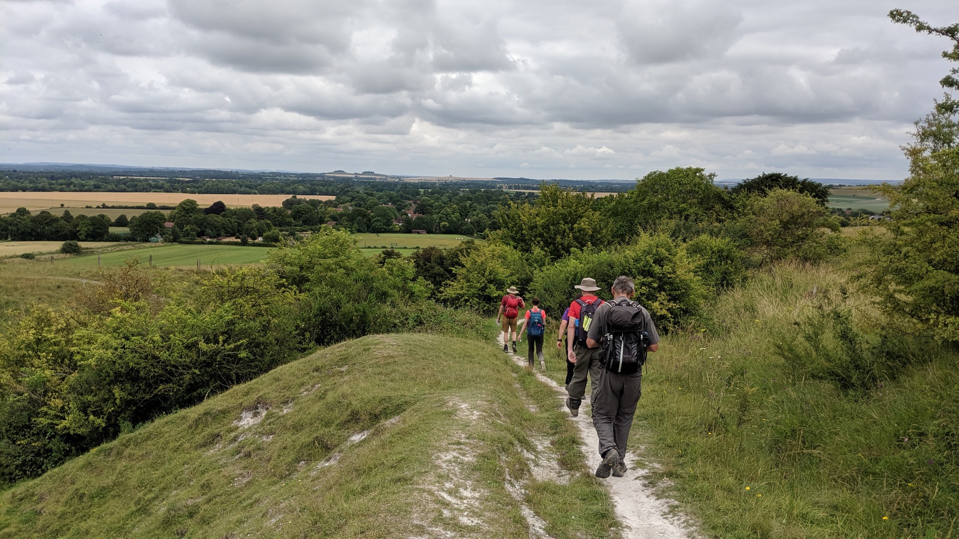
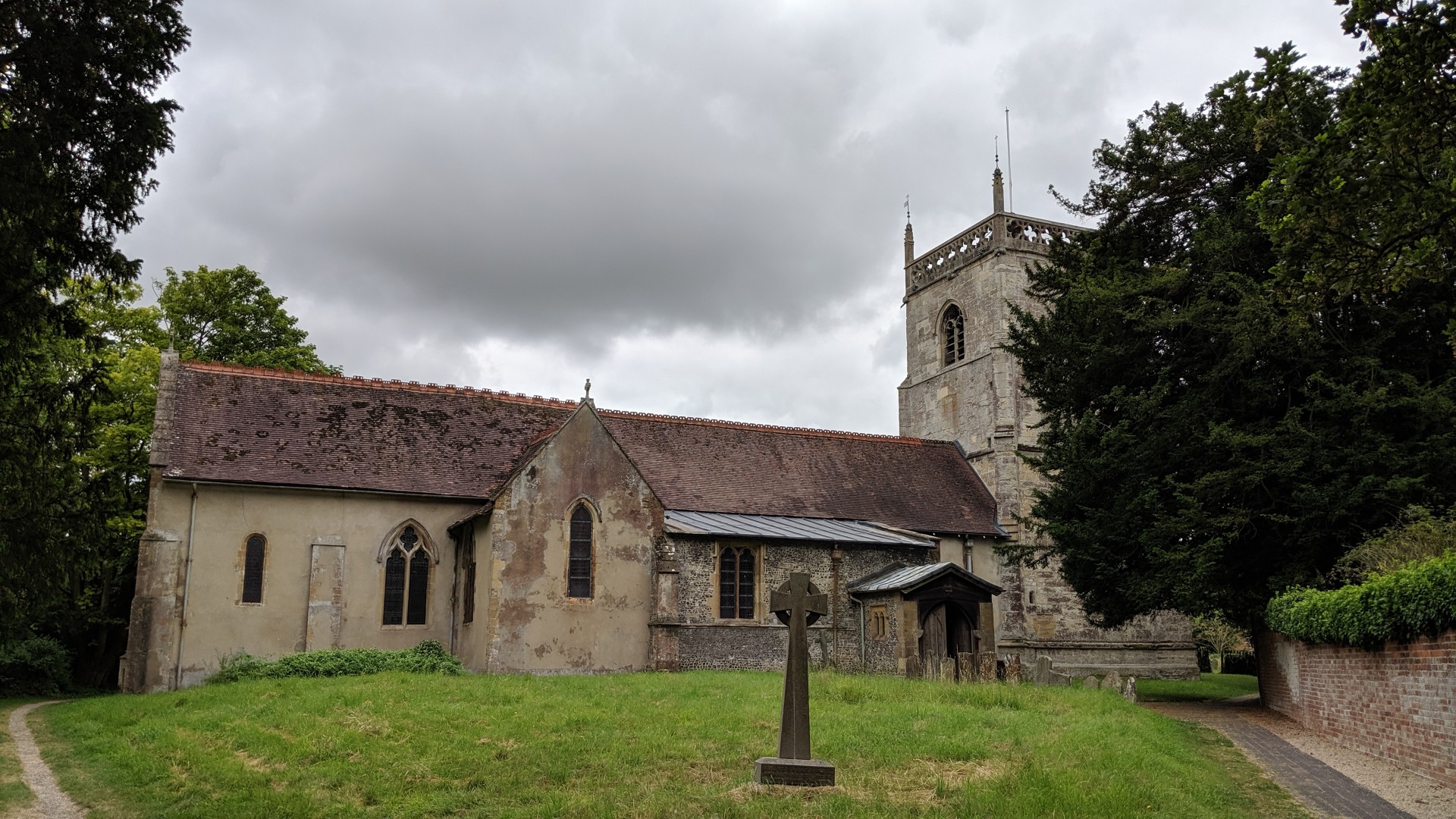
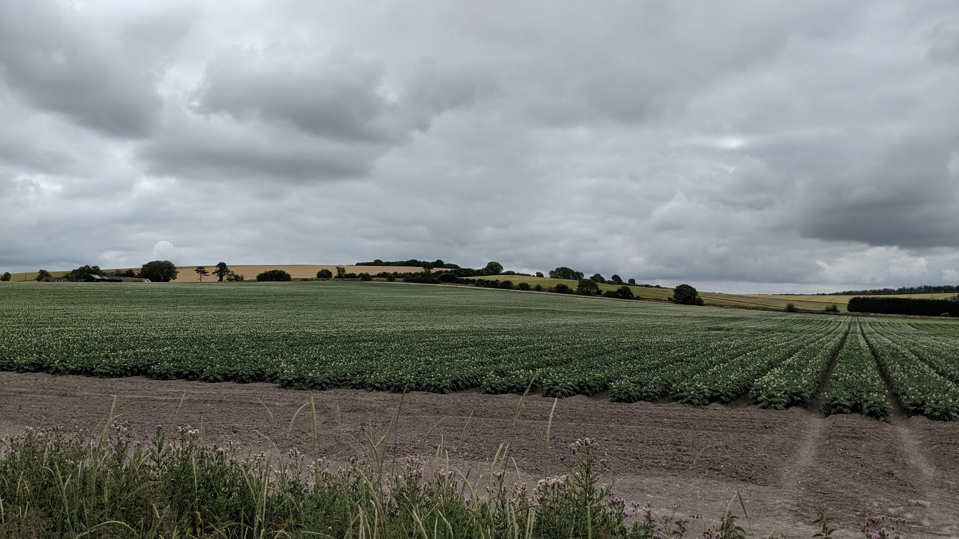
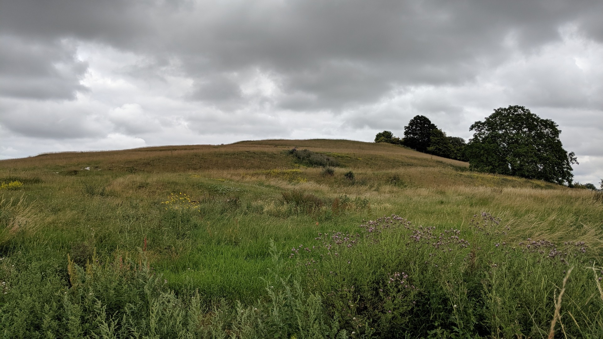
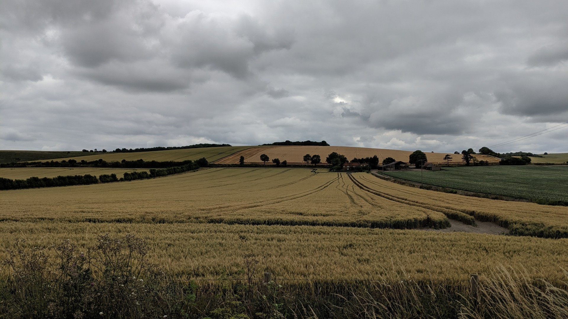
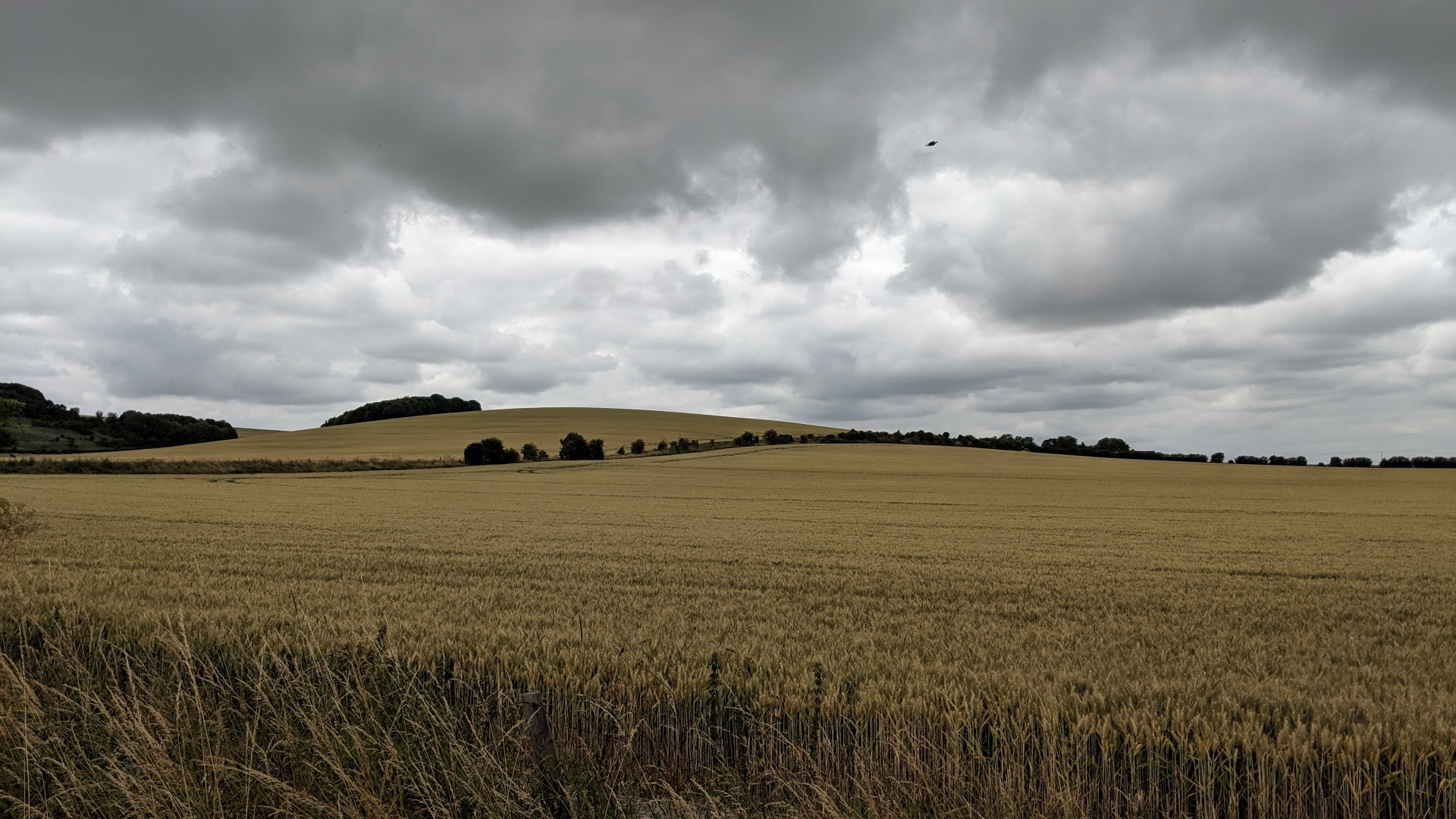
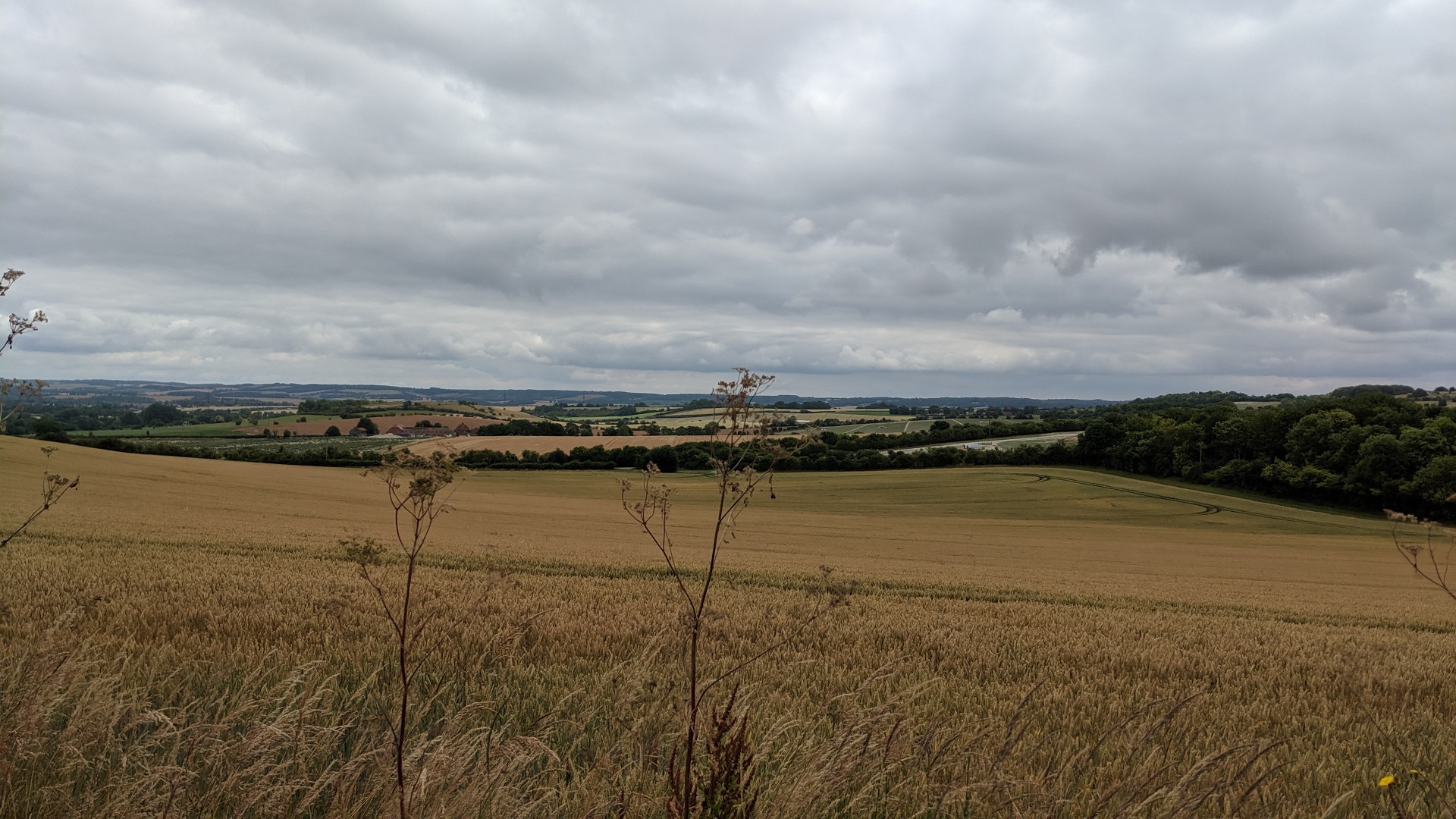
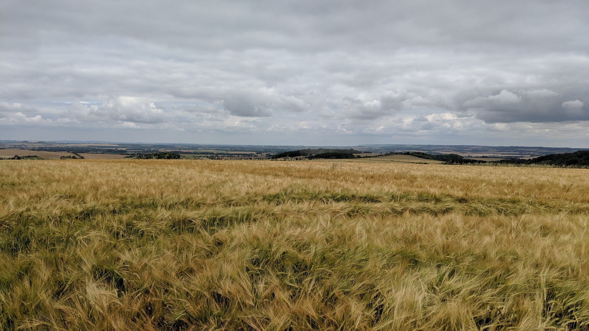
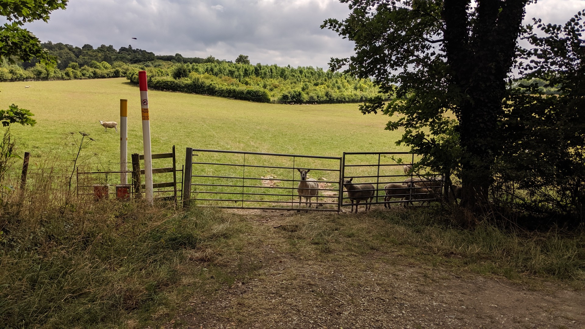
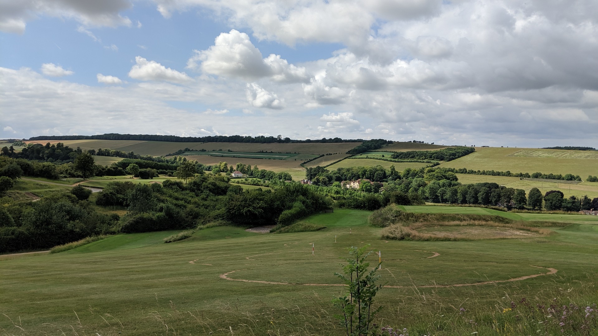
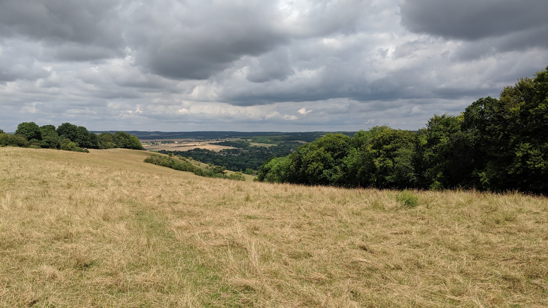
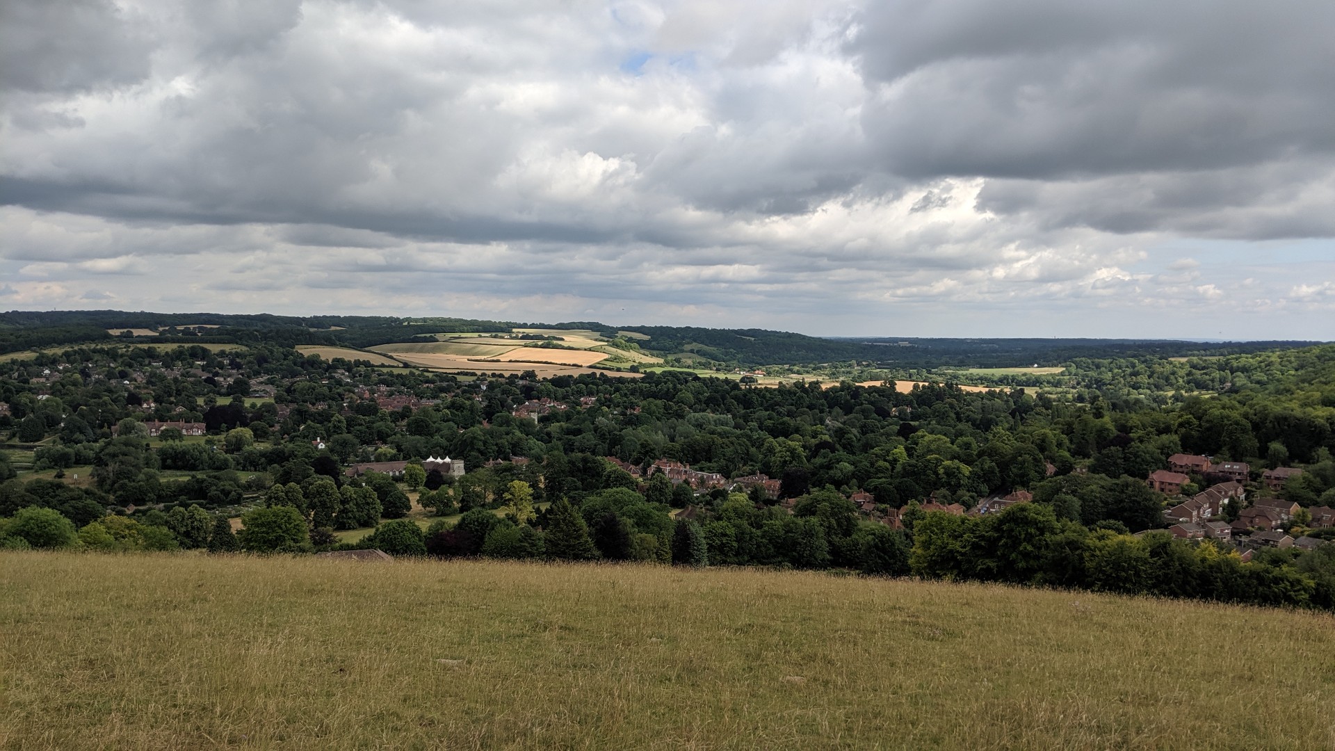
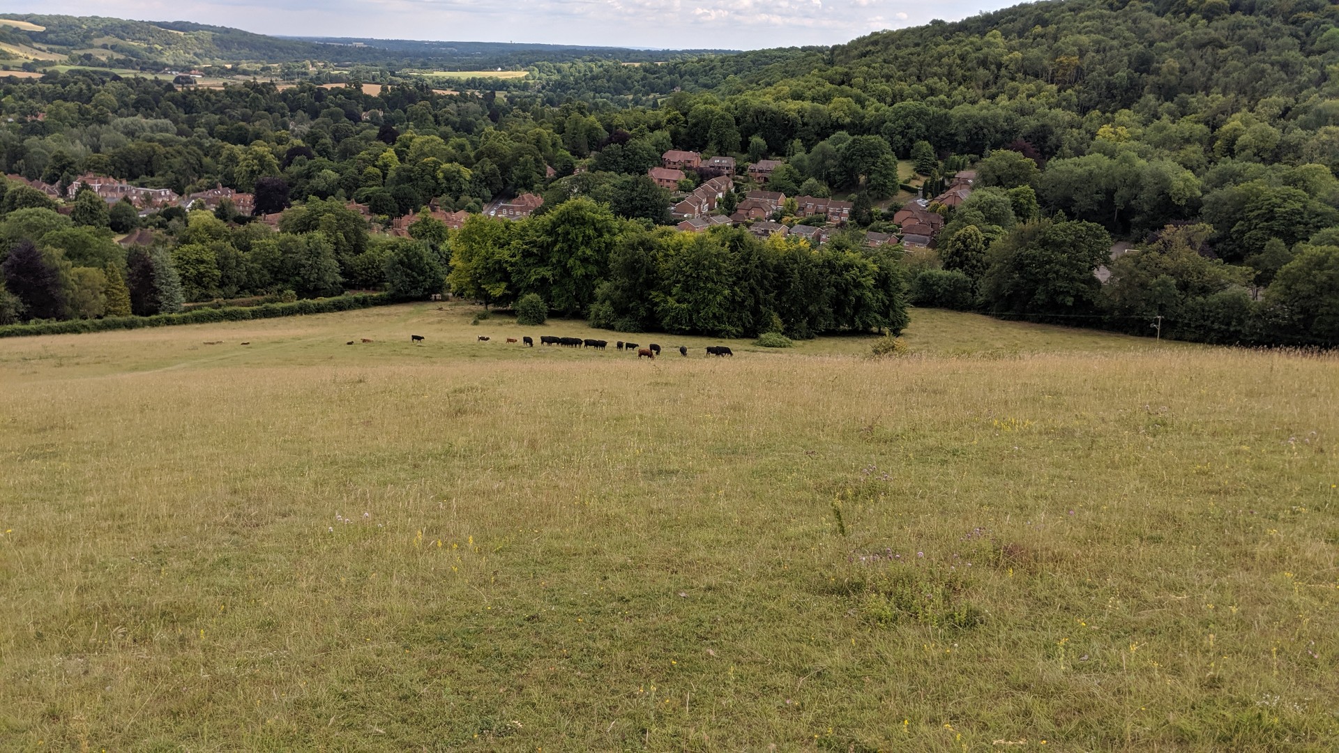
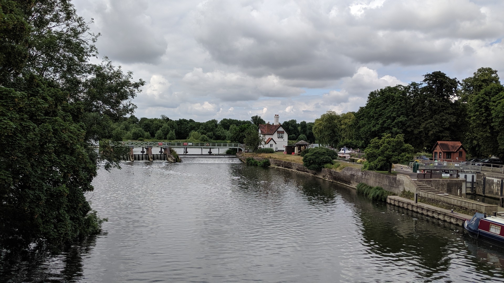
Eight people, in good walking weather, came on the longer of the day's walks from Goring led by David Norbury.After admiring the church at Goring we went up to Common Wood and on to Stichens Green, Westridge Green and Streatley Warren. Following the Ridgeway to Compton Downs we went past Churn Knob to Blewbury, Aston Tirrold and Lowbury Hill. Another stretch of the Ridgeway took us to Thurle Down and up through the golf course to the splendid view over the Goring Gap at Lardon Chase, with the end in sight.
Photos by Marcus Becker.
Other Files
GPX
A GPX file of the above route may be downloaded by clicking the link below.
Note: GPX files of Group Walks are created by LDWA Group members, and may be downloaded only by other LDWA members. They should not be made available outside the LDWA, and are used at members' own risk.
Login to Download (Members Only)You can use the interactive controls to zoom in and out and to move around the map, or click on a path or a marker for more info. (interactive map help)
You can use the interactive controls to zoom in and out and to move around the map, or click on a path or a marker for more info. (interactive map help)
Contains Ordnance Survey data © Crown copyright and database right 2016.
© OpenStreetMap contributors under Open Database Licence
Rights of way data from selected Local Authorities
Large scale digital mapping is provided by John Thorn
At high zoom levels the route is indicative only.
© OpenStreetMap contributors under Open Database Licence
Rights of way data from selected Local Authorities
Large scale digital mapping is provided by John Thorn
At high zoom levels the route is indicative only.
Gallery

Maps:
You can use the interactive controls to zoom in and out and to move around the map, or click on a marker for more info. (interactive map help)
Contains Ordnance Survey data © Crown copyright and database right 2016.
© OpenStreetMap contributors under Open Database Licence.
Rights of way data from selected Local Authorities.
Large scale digital mapping is provided by John Thorn.
© OpenStreetMap contributors under Open Database Licence.
Rights of way data from selected Local Authorities.
Large scale digital mapping is provided by John Thorn.


