


Craddingdon Circular
Sat 16th Nov 2019
Walk Details:
An undulating walk exploring the parks and open spaces between Croydon and Addington
Entry Details:
Walk Report
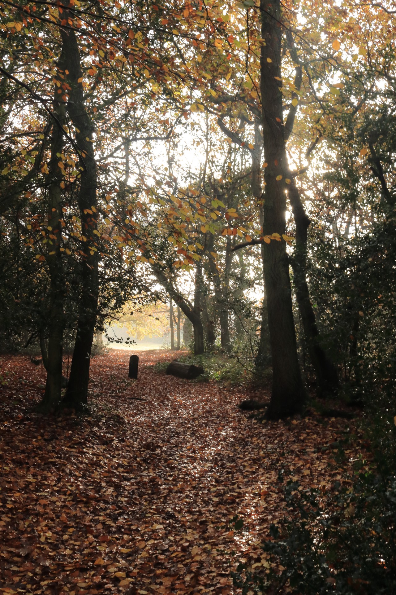
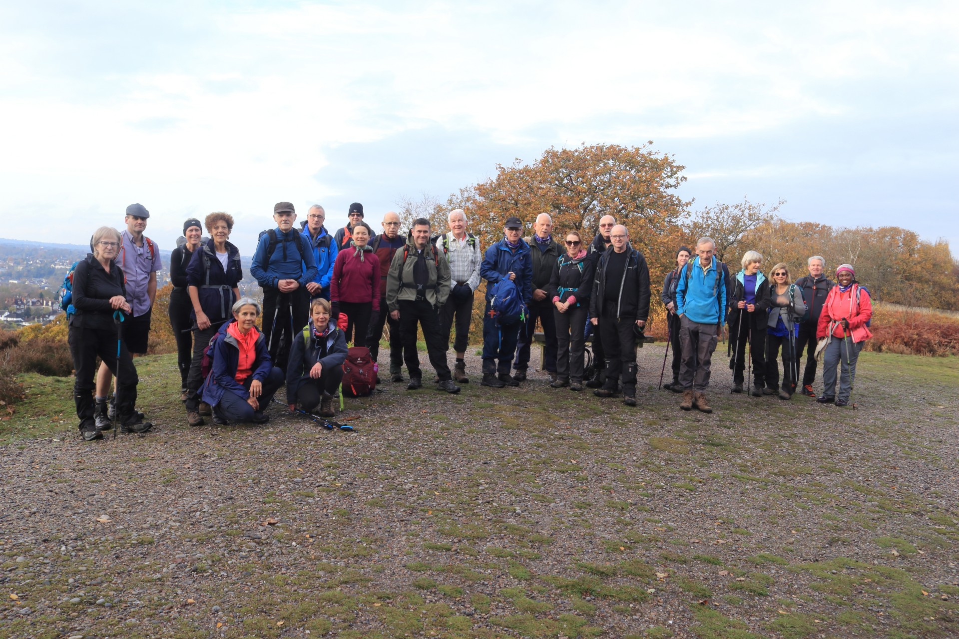
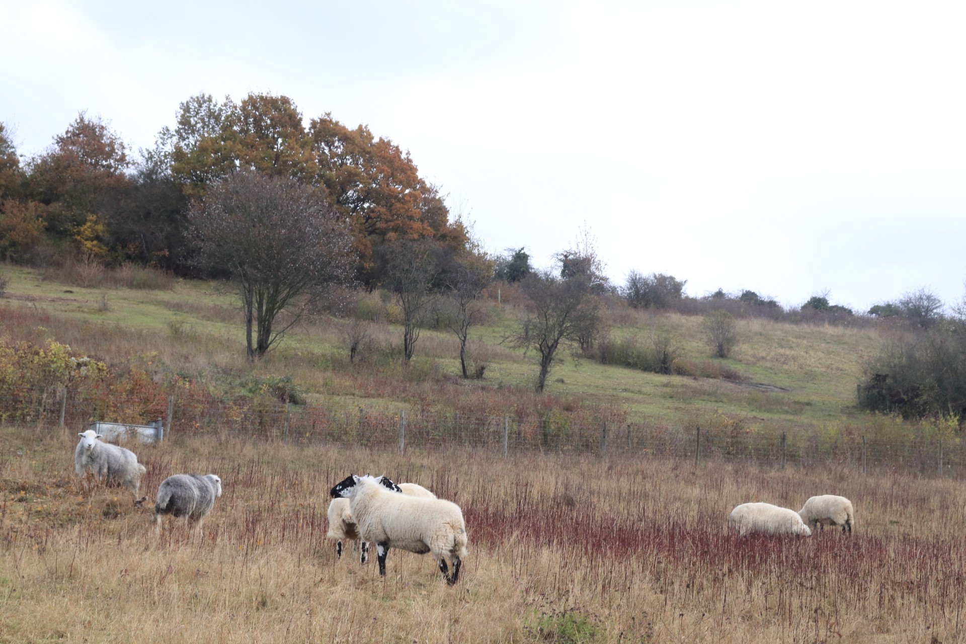
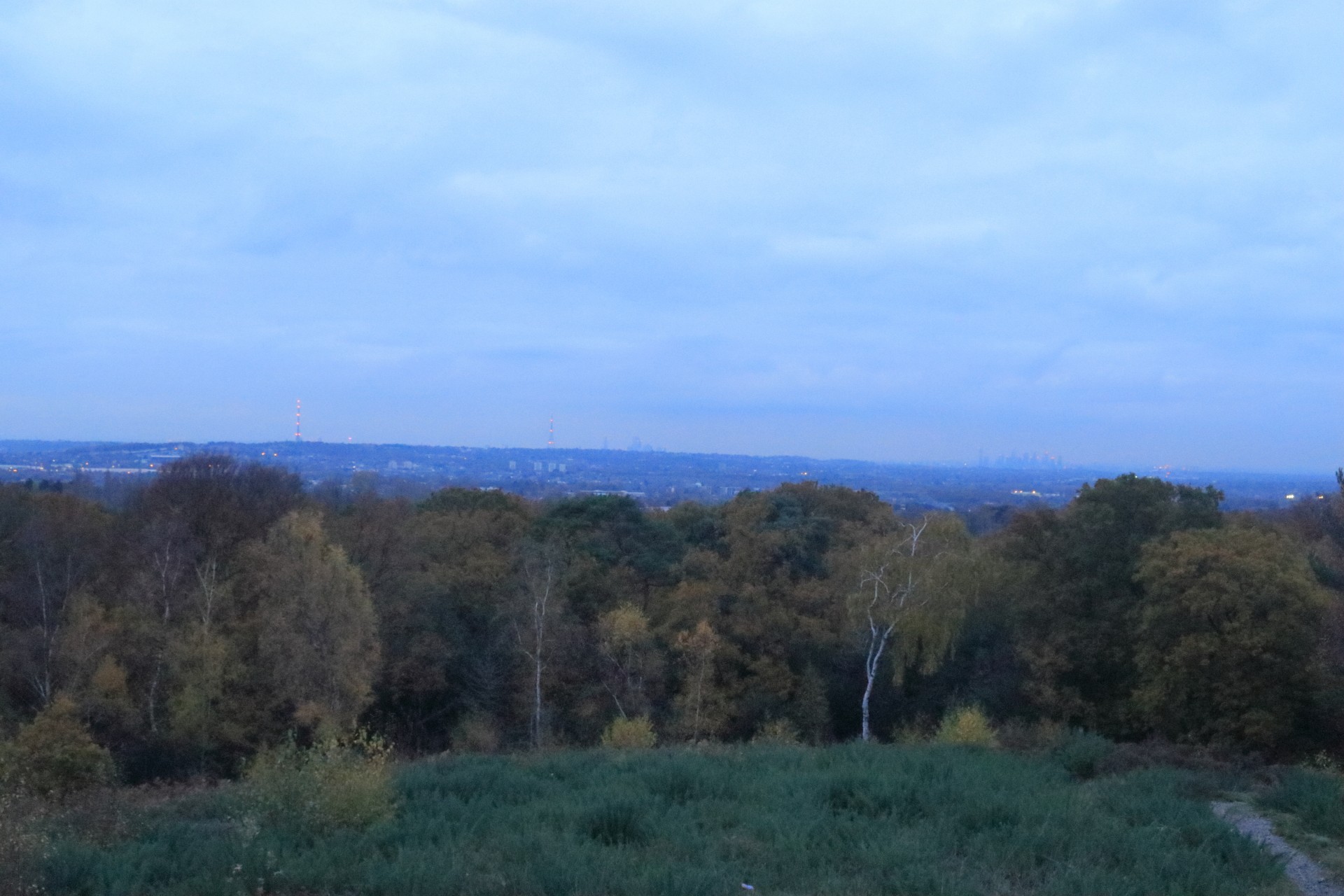
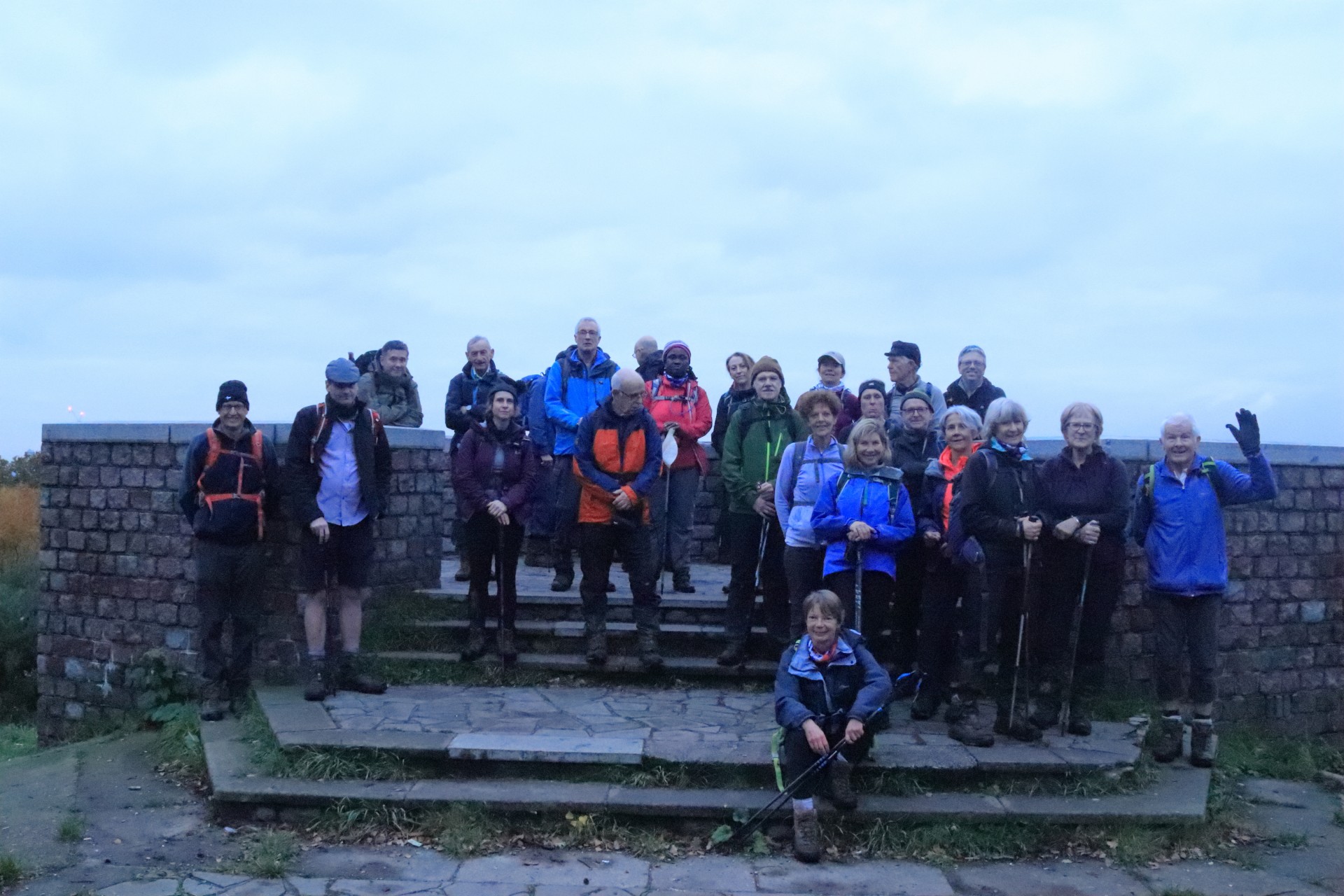
Craddingdon Circular, Saturday 16th November 201926 walkers, 18.2 miles - leader Gavin Fuller. Mud rating 9/10
The leader got quite a surprise to discover just how many people had convened at East Croydon station for a circular exploration of the area to its south-east. The walk took in 10 woods, 3 parks, a nature reserve and a Site of Special Interest, as well as passing an unsolved crime scene of 90 years previous, a water tower which could hold a million pints pf beer and a memorial tree to the inventor of the teleprinter. The rain of the previous week had a noticeable effect on the paths, which were considerably muddier than on the leader's recce a week earlier, but despite this, some interesting ups and downs and a footpath the locals clearly don't people to walk all got around safely on a walk showing this area at its autumnal best.
Photographs by Gavin Fuller and Ian Watson; more by Ian and Stephen Lannon on the group Facebook site.
Other Files
Download Walk ReportGPX
A GPX file of the above route may be downloaded by clicking the link below.
Note: GPX files of Group Walks are created by LDWA Group members, and may be downloaded only by other LDWA members. They should not be made available outside the LDWA, and are used at members' own risk.
Login to Download (Members Only)You can use the interactive controls to zoom in and out and to move around the map, or click on a path or a marker for more info. (interactive map help)
You can use the interactive controls to zoom in and out and to move around the map, or click on a path or a marker for more info. (interactive map help)
© OpenStreetMap contributors under Open Database Licence
Rights of way data from selected Local Authorities
Large scale digital mapping is provided by John Thorn
At high zoom levels the route is indicative only.
Gallery

Maps:
You can use the interactive controls to zoom in and out and to move around the map, or click on a marker for more info. (interactive map help)
© OpenStreetMap contributors under Open Database Licence.
Rights of way data from selected Local Authorities.
Large scale digital mapping is provided by John Thorn.


