


Chiltern Circular
Sat 3rd Aug 2019
Walk Details:
Chenies, Amersham Old Town, Little Missenden (pub), Penn Wood, Chiltern Way
Entry Details:
Walk Report
Chiltern Circular, Saturday 3rd August 201918 walkers, 21 miles - leader Nigel Heys
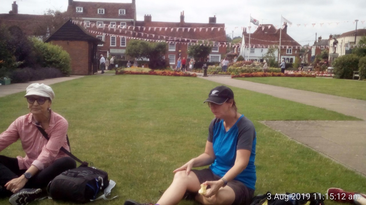
Eighteen people left Chorleywood around 9am and crossed the first main road to pass Chenies Manor. They then went down to the River Chess and followed the Chess Valley Way to Latimer. They then climbed up through a wood and along the ridge before dropping down to Old Amersham and a break in the attractive Memorial Gardens (see picture). Two stayed to sample the town while the rest continued along the Misbourne valley to Little Missenden. They then climbed up to Penn Wood and stopped for lunch by the cricket pitch in Penn Street. Despite the match starting and the Squirrel having six real ales the group managed to walk the Chiltern Way back to Chorleywood in the afternoon. The bull encountered paid little attention to the group. The afternoon stop was in Chalfont St. Giles churchyard.
Photograph by Nigel Heys; more by Gavin Fuller on the group Facebook site
Other Files
Download Walk ReportGPX
A GPX file of the above route may be downloaded by clicking the link below.
Note: GPX files of Group Walks are created by LDWA Group members, and may be downloaded only by other LDWA members. They should not be made available outside the LDWA, and are used at members' own risk.
Login to Download (Members Only)You can use the interactive controls to zoom in and out and to move around the map, or click on a path or a marker for more info. (interactive map help)
You can use the interactive controls to zoom in and out and to move around the map, or click on a path or a marker for more info. (interactive map help)
© OpenStreetMap contributors under Open Database Licence
Rights of way data from selected Local Authorities
Large scale digital mapping is provided by John Thorn
At high zoom levels the route is indicative only.
Gallery
Maps:
You can use the interactive controls to zoom in and out and to move around the map, or click on a marker for more info. (interactive map help)
© OpenStreetMap contributors under Open Database Licence.
Rights of way data from selected Local Authorities.
Large scale digital mapping is provided by John Thorn.


