


SoDNaP 20
Sat 29th Jun 2019
Walk Details:
A circular walk over the hills of Britains newest National Park, on the trail of a possible 50-mile challenge. (station car park charge c.£2.10). Meet outside the Ticket Office. The walk passes into the town, and picks up the challenge route outside the Wetherspoons Red Lion if anyone has an early breakfast here, meet outside the Red Lion (main, west-side entrance) at 09:15-09:20. Walk to the Hangers Way, and largely follow that path to Selborne via the Shoulder of Mutton Hill with its fine viewpoint, and Noar Hill. Possible mid-morning pitstop at the Hawkley Arms. Please bring a packed lunch to eat in Selborne; there are limited facilities for light refreshments at the Gilbert White Museum, the Selborne Tea Room, and the Selborne Arms. After lunch, leave from the Selborne Arms, climb the famous ZigZag path to Selborne Common, aiming to return to Petersfield station by 18:30
Entry Details:
Walk Report
SoDNaP 20, Saturday 29th June 201911 walkers, 20 miles - leader Roderick Smith
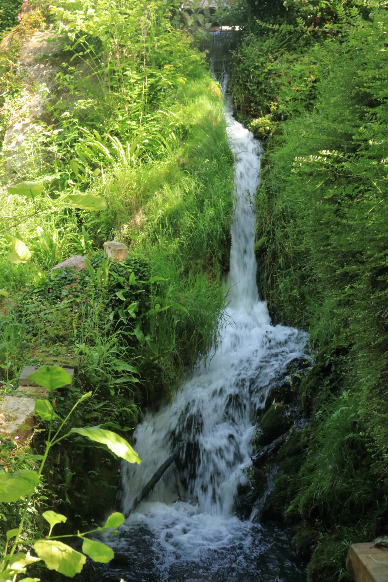
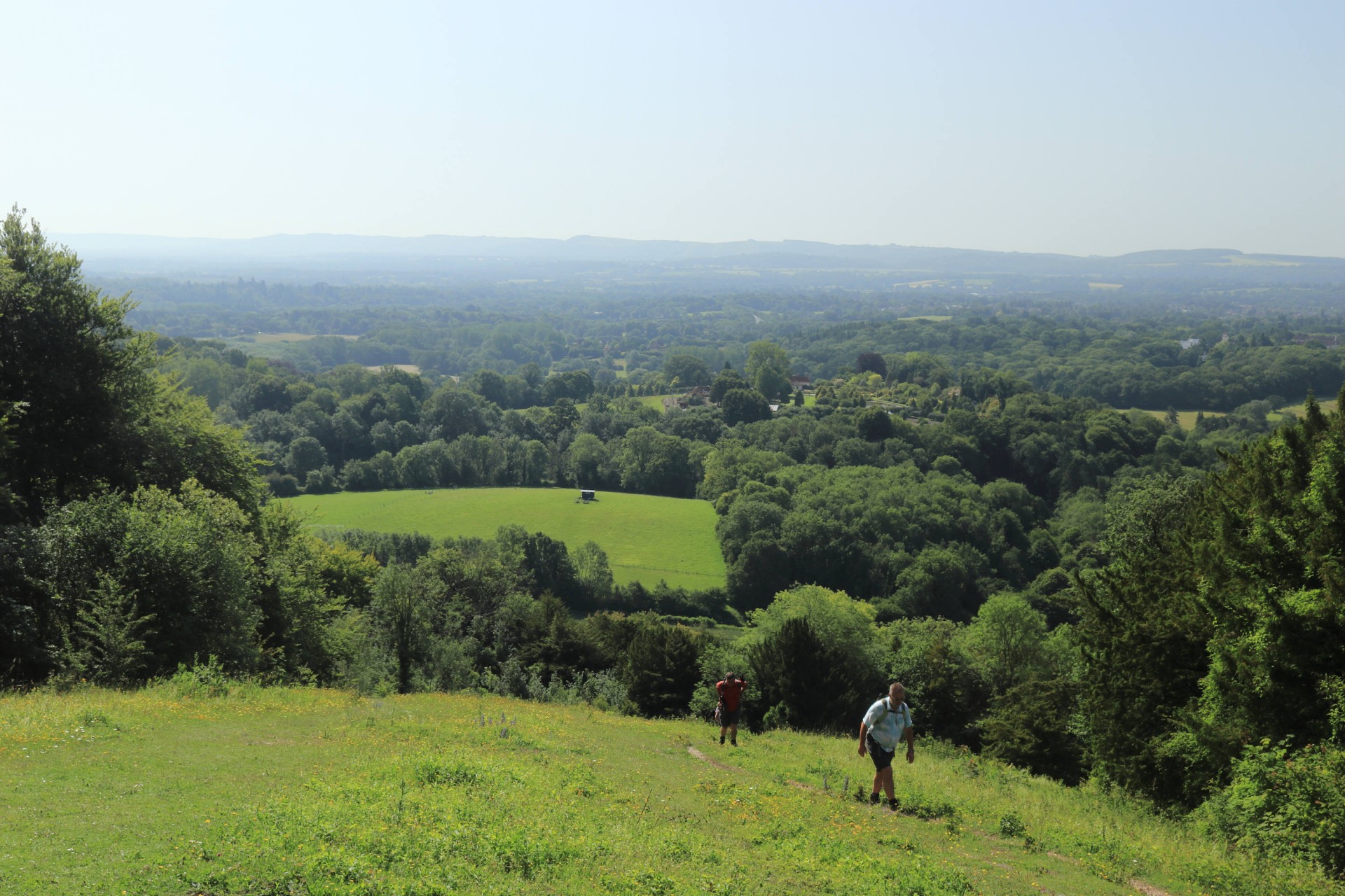
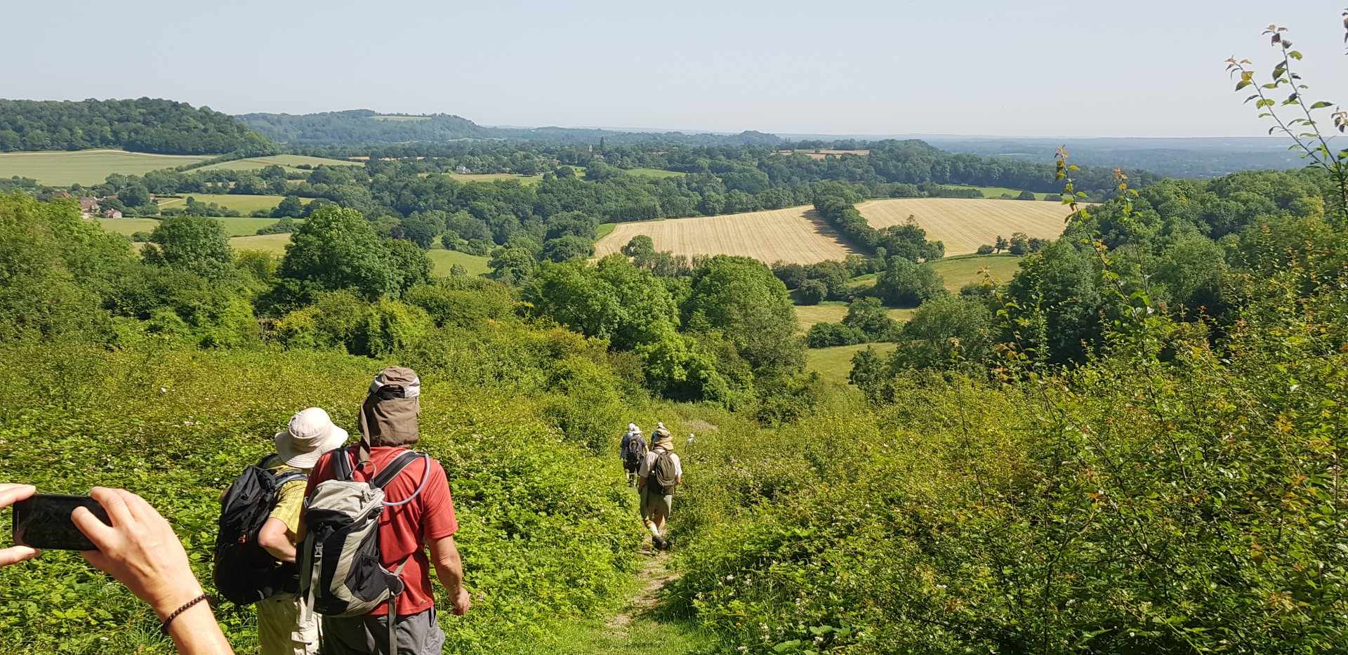
SoDNaP 20. Ten of us met at 09:00 at Petersfield Station for a walk in the South Downs National Park, Britain's newest National Park. On a cloudless day we walked into the centre of the town to join the route of a potential 50-mile challenge from the (Wetherspoons) Red Lion. We headed north to the Hangers Way; Steep Church; and the steep climb up the Shoulder of Mutton hill to the Poet's Stone memorial to Edward Thomas (known for his poem ÃÅAdlestrop" inter alia). There were fine views of the South Downs. A last look back down the hill from the summit, before a steep descent to Oakshott, and a brief stop at the Hawkley Inn for tea and coffee. A steep climb of Noar Hill preceded lunch in Selborne.
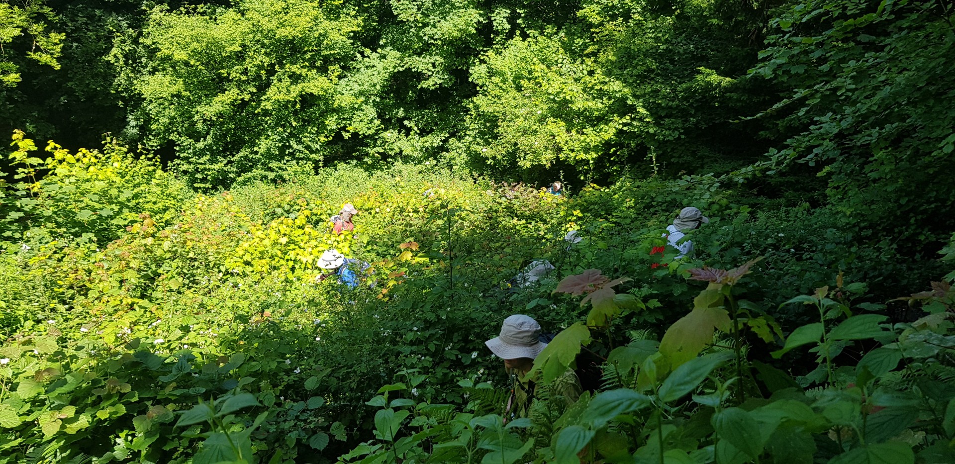
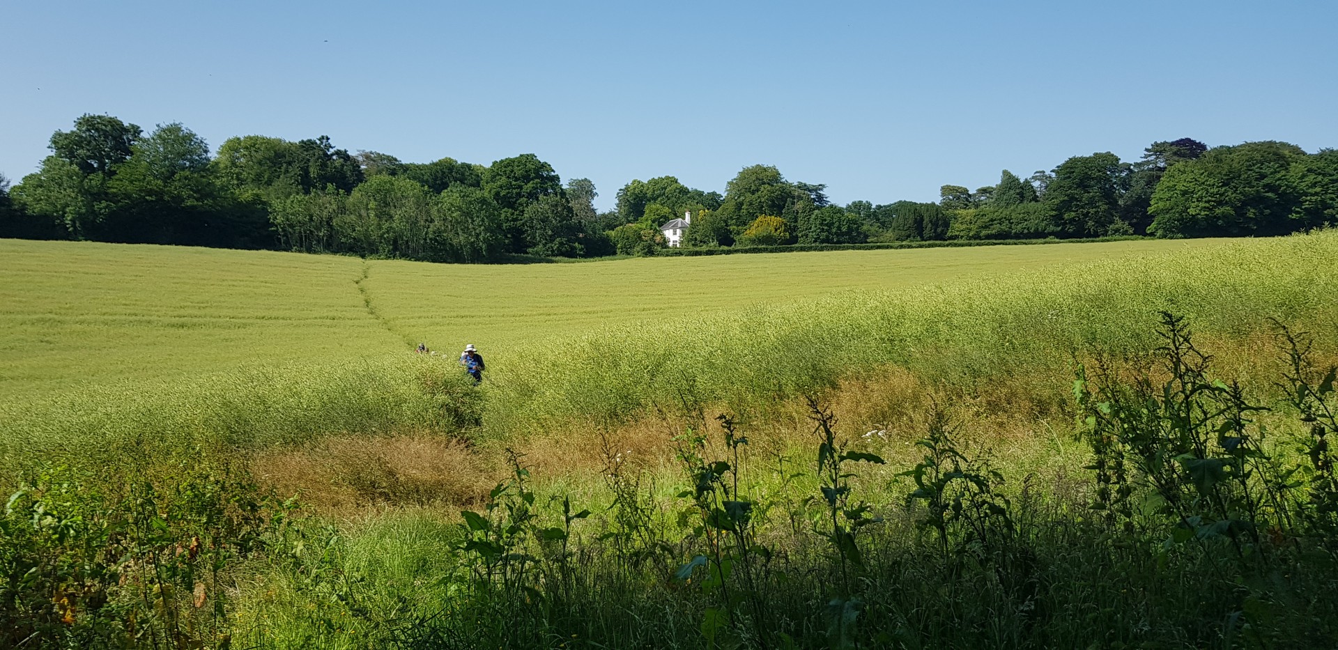
We checked the outside of Checkpoint 1, and, in Selborne Church, saw the stained-glass window of St Francis preaching to the birds (over 100 are shown); sadly not enough time to visit the Gilbert White / Oates (of the Antarctic) Museum. We were joined by a second Ian and eleven of us climbed the ZigZag path built by Gilbert White and his brother over 200 years ago. A walk along byways took us to the "pub-with-no-name" aka "The White Horse". Two decided to follow an alternative route to Petersfield, and nine of us continued in very hot conditions to Froxfield Green. Thence, leaving the SoDNaP route, to Lythe Farm and Petersfield Station in time to catch the 17:45 to Woking and London. Thanks to members from London, Surrey, Thames Valley, and Wessex for an enjoyable day in splendid countryside. Over 2,000ft of ascent; 20 miles walked in 8 hours 40 minutes on one of the hottest June days for 40 years.
Photographs by Gavin Fuller and Roderick Smith; more from Gavin and Ian Fairweather are on the Group Facebook site
Other Files
Download Walk ReportGPX
A GPX file of the above route may be downloaded by clicking the link below.
Note: GPX files of Group Walks are created by LDWA Group members, and may be downloaded only by other LDWA members. They should not be made available outside the LDWA, and are used at members' own risk.
Login to Download (Members Only)You can use the interactive controls to zoom in and out and to move around the map, or click on a path or a marker for more info. (interactive map help)
You can use the interactive controls to zoom in and out and to move around the map, or click on a path or a marker for more info. (interactive map help)
© OpenStreetMap contributors under Open Database Licence
Rights of way data from selected Local Authorities
Large scale digital mapping is provided by John Thorn
At high zoom levels the route is indicative only.
Gallery


Maps:
You can use the interactive controls to zoom in and out and to move around the map, or click on a marker for more info. (interactive map help)
© OpenStreetMap contributors under Open Database Licence.
Rights of way data from selected Local Authorities.
Large scale digital mapping is provided by John Thorn.


