


Sunlit Uplands of The Chilterns
Sat 22nd Jun 2019
Walk Details:
Event Details Updated
CHANGES TO TRAIN SERVICES & START TIME FOR TOMORROW'S WALK
8.06am train from London Bridge to Luton stn, followed by
10mins replacement bus ride arriving at Leagrave stn at 9.16am
Event Type
Group Walk
Region
Southern England
Local Group
London
Distance
20ml.
Start Time
9:16
Route
Meet at Leagrave Station (buy return ticket to Harlington stn), Bedfordshire. Train - 8.06am from London bridge Station. Finish at Harlington Station
A linear hike, taking in the source of the River Lea, Warden Hill, Lilley Hoo, Telegraph Hill, Pegsdon & Barton Hills Nature Reserve
General Notes
Pub stop @ The Raven, Hexton, or bring your own packed lunch ETA @ pub -12.30
If you wish to have lunch, pls order it by 10am on the day: 01582 881 209
See link for menu http://www.emeryinns.com/
Web Site
Start and Finish
Entry Details:
Cost
Walk Report
Sunlit Uplands of the Chilterns, Saturday 22nd June 201910 walkers, 21 miles â leader Bola Baruwa
Sunlit uplands (no unicorn)
of the Chilterns delivered!
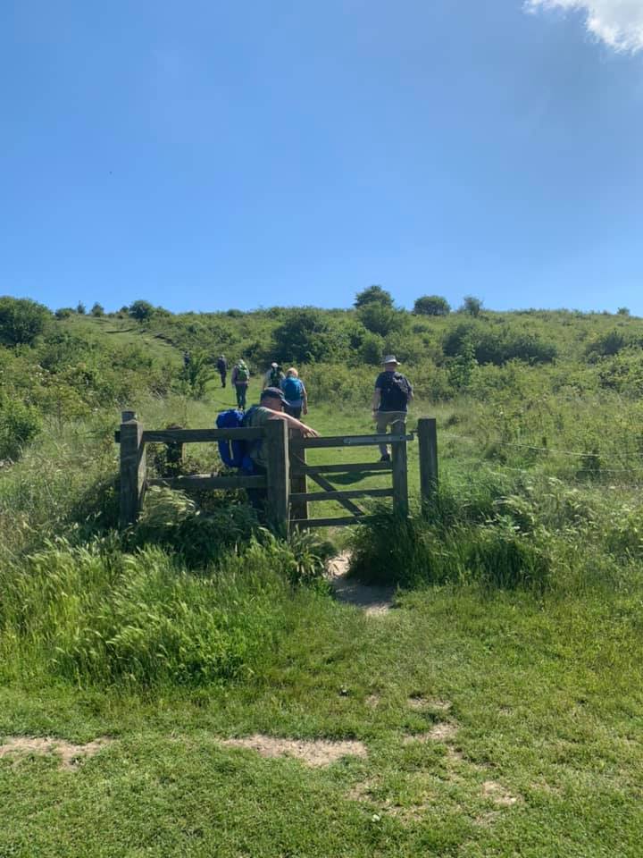
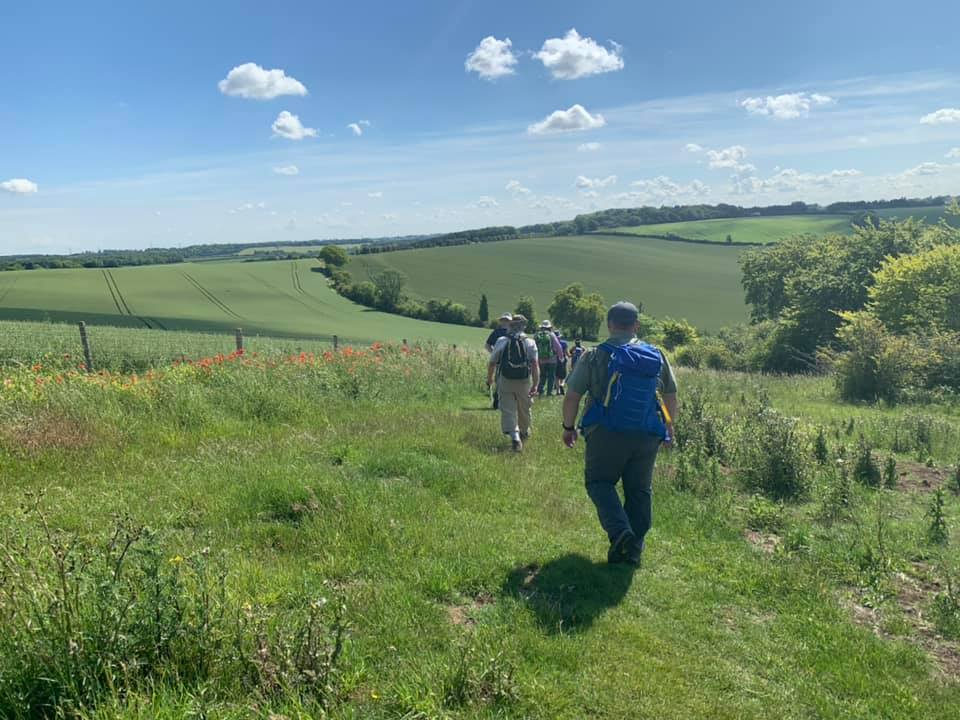
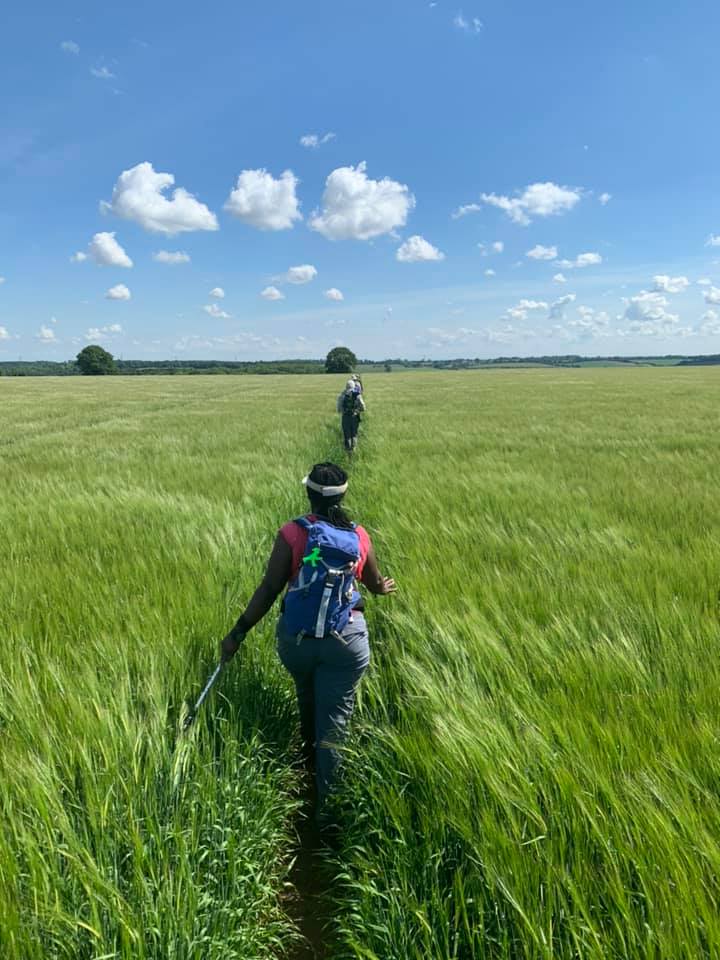
10 walkers including the leader, Bola enjoyed a hilly 21 miles walk in the Chilterns from Leagrave to Harlington, Bedfordshire. Despite replacement bus, we arrived at Leagrave in good time.
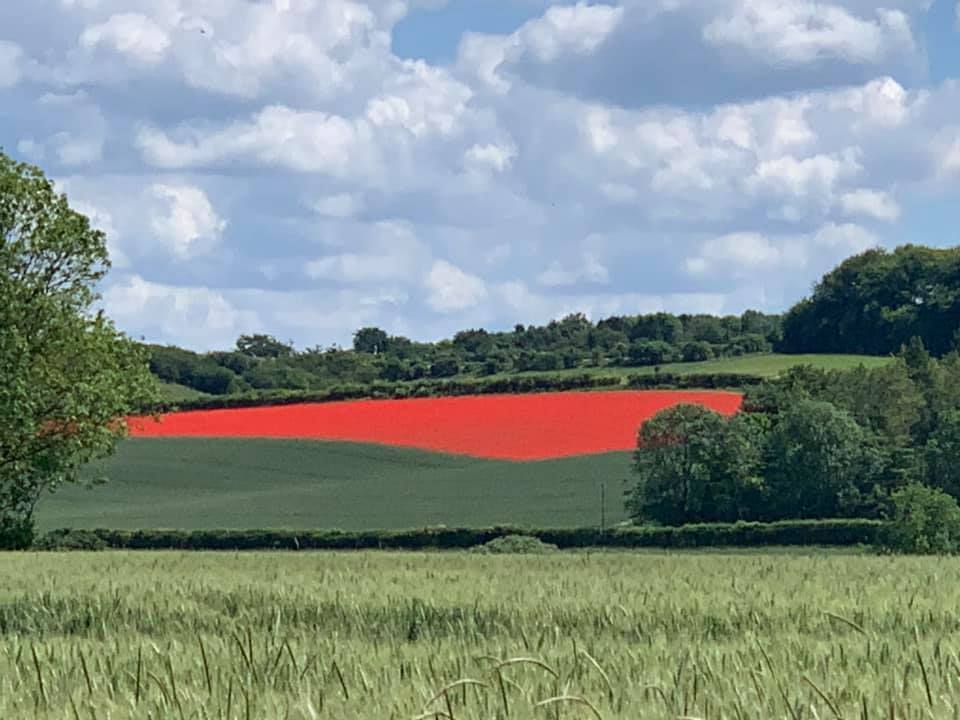
The star attraction was Barton Hills National Nature Reserve, a downland and woodland with fantastic views, We also had the pleasure of visiting the source of the River Lea, Warden Hill, Lilley Hoo, Telegraph Hill, Pegsdon hills & Sharpenhoe Clappers. We had a glorious day, though was hotter than expected, hence couple of retirements.
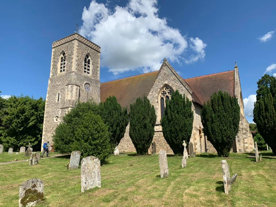
The group had a 40 mins lunch stop in The Raven, Hexton. Hexton has a quirky village shop, namely, Country Matters with just about everything on sale and the all-important tea-room.
We arrived at Harlington station just after 5pm, followed by a short bus ride back to the hubbub at Luton station.
Photographs by Barry Arnold; more from Barry and Paul Maddocks are on the Group Facebook site
Other Files
Download Walk ReportGallery

Maps:
You can use the interactive controls to zoom in and out and to move around the map, or click on a marker for more info. (interactive map help)
Contains Ordnance Survey data © Crown copyright and database right 2016.
© OpenStreetMap contributors under Open Database Licence.
Rights of way data from selected Local Authorities.
Large scale digital mapping is provided by John Thorn.
© OpenStreetMap contributors under Open Database Licence.
Rights of way data from selected Local Authorities.
Large scale digital mapping is provided by John Thorn.


